Easy hikes and walks around Pfalzgrafenweiler
4.5
(3661)
13,550
hikers
201
hikes
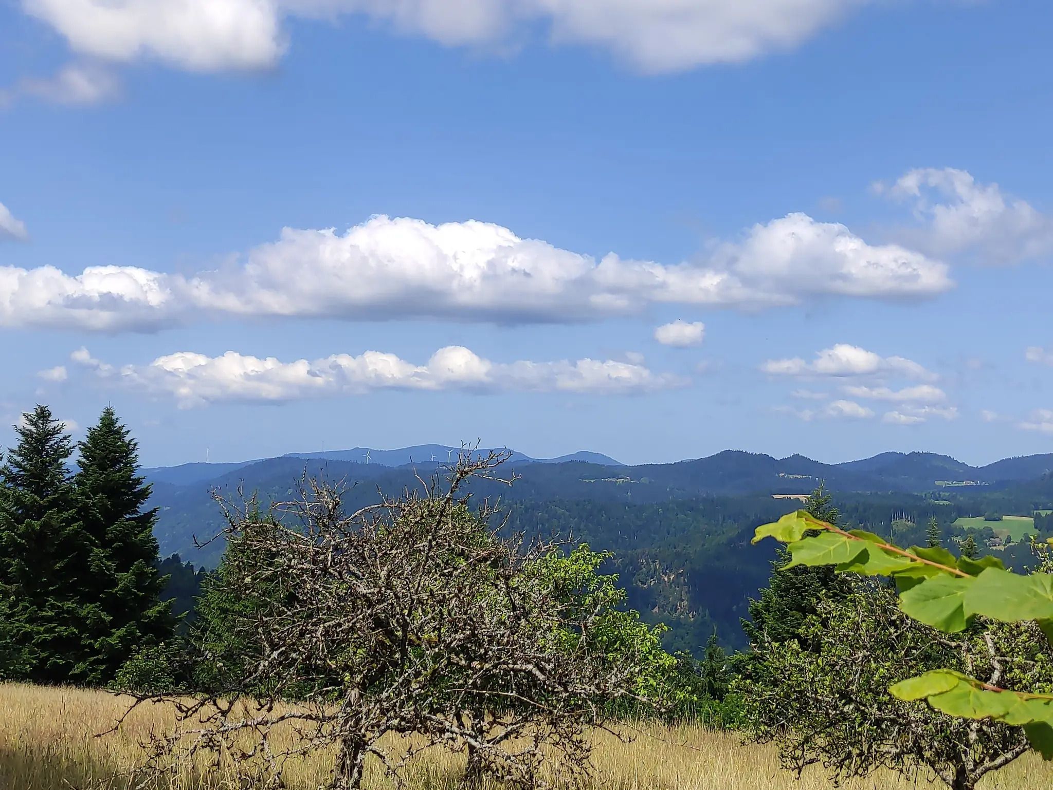
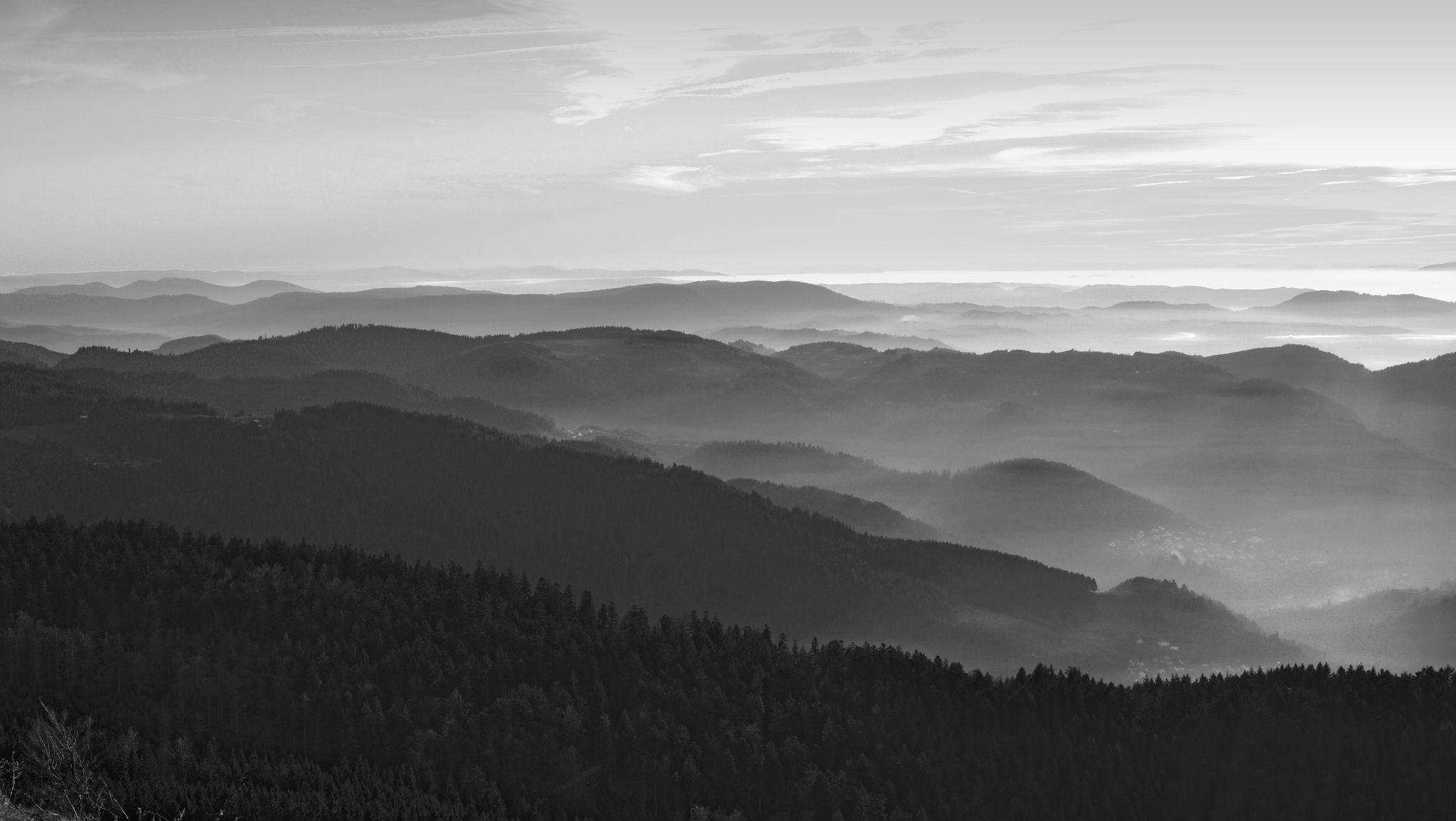
Easy hiking trails around Pfalzgrafenweiler offer diverse and picturesque landscapes in the northern Black Forest. The region features extensive forests, rolling terrain, and meandering rivers. Notable natural features include the Bömbach and Zinsbach valleys with their idyllic streams, and the Weiler Forest.
Best easy hiking trails around Pfalzgrafenweiler
- The most popular easy hiking route is Silberbrünnle Spring – Nördlinger Hut loop from Bösingen, a 3.5 miles (5.6 km) trail that takes 1 hour 37 minutes to complete. This route…
Last updated: July 14, 2026
4.6
(35)
153
hikers
Easy hike. Great for any fitness level. Easily-accessible paths. Suitable for all skill levels.
4.7
(27)
137
hikers
Easy hike. Great for any fitness level. Easily-accessible paths. Suitable for all skill levels.

Sign up for free
4.7
(21)
104
hikers
Easy hike. Great for any fitness level. Easily-accessible paths. Suitable for all skill levels.
4.8
(67)
203
hikers
5.60km
01:37
130m
130m
Easy hike. Great for any fitness level. Easily-accessible paths. Suitable for all skill levels.
4.4
(13)
41
hikers
5.62km
01:30
60m
60m
Easy hike. Great for any fitness level. Easily-accessible paths. Suitable for all skill levels.
Get access to more routes and recommendations from other explorers.
Sign up for free
Already have an account?
Our route recommendations are based on thousands of hikes, rides, and runs completed by other people on komoot.
Start today with a free account
Your next adventure awaits.
Login or Signup
Other adventures around Pfalzgrafenweiler


Tips from the Community

Kneipp facility in a natural pool at the edge of the forest with a beautiful view into the Bömbachtal valley, with a resting place and shelter located right next to it.
5
0
The Spielberg nature trail is about 2.2 km long and offers information about the local flora and fauna on numerous information boards.
4
0
The Bömbachsee near Altensteig-Spielberg is idyllically situated, surrounded by forests in the middle of the countryside, and invites you to swim. The small lake is easily accessible via the Ziegelweg, and parking is available. A large sunbathing lawn with shady trees adjoins the eastern shore.
6
0

Müllerweg along the Waldach 🌊 - Beautiful path 🏞🥾 to the Mandelberg ruin 🏰 - Pfalzgrafenweiler - LKR. Freudenstadt
0
0
The Waldach is an almost 25 km long river in western Baden-Württemberg in the transition area between the Northern Black Forest and the Gäu, which flows into the Nagold river from the right and south in the town of Nagold in the district of Calw. Die Waldach ist ein kleiner Fluss am Ostrand des Nordschwarzwaldes dem Oberen Gäu zu, der ein von den Gewässerzügen der oberen Nagold im Norden, des oberen Neckars im Südosten und von dessen Zufluss Glatt eingerahmtes Landschaftsdreieck in insgesamt nordöstlicher Richtung auf einem ungefähren Bogen nach Nordwesten zur Nagold hin entwässert. Die Waldach entsteht auf dem Gebiet der nach ihr benannten Gemeinde Waldachtal aus einigen kleinen Bächen. An der mündungsfernsten Quelle etwa 1,5 km südsüdwestlich der Mitte des Dorfes Tumlingen der Gemeinde und auf etwa 635 m ü. NHN entspringt das Schneckenbächle, der offizielle Oberlauf[4], dicht vor einem Waldstreifen, in dem die Grenze zur südwestlichen Nachbargemeinde Schopfloch verläuft. Der anfänglich nordöstliche Lauf in flacher, gerader Flurmulde schwenkt schon vor der Dorfgrenze auf Nordnordwestkurs, in und kurz nach Tumlingen nimmt der Bach zwei größere linke Zuflüsse auf, den Weiherbach und den Heppersbach, die noch jenseits der Grenze auf Schopflocher Gebiet entspringen. Hier tritt er auch aus dem durch Muschelkalk im Untergrund charakterisierten Naturraum der Oberen Gäue in den nordöstlichen Schwarzwald ein, den der Buntsandstein auszeichnet. Die Waldach durchläuft dann in sich schlängelndem Tal das Dorf Lützenhardt, den Weiler Vesperweiler, das Dorf Cresbach und die Weiler Ober- und Unterwaldach der Gemeinde, hier nun schon auf Nordostkurs in einem gegen die bewaldeten und mit Rodungsinseln durchsetzten Randhöhen rund 80 Meter eingetieften Tal, über dem kurz vor dem letzten Weiler die Burgruine Rüdenberg auf einem linken Mündungssporn steht. Danach tritt er aufs Gemeindegebiet von Pfalzgrafenweiler über, dessen zentraler namengebender Ort links auf der Höhe liegt, und unter Waldhängen füllt sich nach der Ruine Vörbach, auf einem weiteren linken Mündungssporn gelegen, auch der enger werdende Talgrund mit Wald, in dem nun keine bedeutende Straße mehr läuft. Auf den nächsten viereinhalb Kilometern des Nordostlaufes, über den ein links über dem Tal auf dem Gelände der Ruine Mantelberg liegender Aussichtsturm Ausblick gewährt, ist die folgende Bösinger Mühle von Pfalzgrafenweiler der einzige Siedlungsplatz im Tal, .... Quelle: https://de.wikipedia.org/wiki/Waldach
1
0
The Silberbrünnle spring 🌊 in Pfalzgrafenweiler-Bösingen is an idyllically located spring at the foot of the Schlosswald forest. It is a popular excursion destination in the Black Forest, known for its year-round bubbling, crystal-clear water, which soon flows into the Waldach. The resting bench invites you to linger,
0
0
Schlossquelle 🏰🌊 from 1974 - Off the beaten path behind a pasture fence - Pfalzgrafenweiler - LKR. Freudenstadt
1
0

Super beautiful view with great small infrastructure (lying and table places)
0
0
Frequently Asked Questions
How many easy hiking trails are available around Pfalzgrafenweiler?
Pfalzgrafenweiler offers a wide selection of easy hiking trails, with over 110 routes specifically categorized as easy. In total, there are nearly 200 hiking tours available in the region.
What kind of landscape can I expect on easy hikes in Pfalzgrafenweiler?
Easy hikes in Pfalzgrafenweiler primarily lead through extensive forests, charming river valleys like the Bömbach and Zinsbach, and gentle rolling hills. You'll encounter idyllic streams, open meadows, and tranquil wooded areas, characteristic of the northern Black Forest.
What is the typical length and elevation gain for easy hikes in this area?
Easy hikes around Pfalzgrafenweiler typically range from 3 to 4.5 miles (5 to 7 km) in length. The elevation gain is generally gentle, often between 60 to 130 meters, making them accessible for most fitness levels. For example, the Silberbrünnle Spring – Nördlinger Hut loop from Bösingen is 3.5 miles with 132 meters of ascent.
Are there easy hikes that feature waterfalls or significant water features?
Yes, the region is known for its water features. While the adventurous "Wasserfallsteig" might be more challenging, you can find easy trails near the picturesque Wildsee lake, or explore areas around springs like Schlossquelle and Silberbrünnle, where waters flow into the Waldach River. The Silberbrünnle Spring – Nördlinger Hut loop from Bösingen specifically features the Silberbrünnle Spring.
Can I find easy trails with panoramic views in Pfalzgrafenweiler?
Absolutely. The region offers several spots with magnificent views. While the full "Panoramaweg" might be longer, many easy trails incorporate sections or lead to viewpoints. The protected landscape area Egenhauser Kapf provides expansive vistas, and the Rinken Tower is a 23-meter high tower offering great views that can be incorporated into longer routes.
Are there any interesting landmarks or huts to visit on easy hikes?
Yes, you can combine your easy hike with a visit to local landmarks or huts. The Sattelei Hut is a popular mountain hut offering Baden and Swabian cuisine, often accessible via trails. The Rinken Tower also provides a destination with rewarding views.
Are there family-friendly easy hiking options in Pfalzgrafenweiler?
Yes, Pfalzgrafenweiler is well-suited for families. There are many easy trails with gentle terrain. The region even features a dedicated Family Adventure Hiking Trail with exciting stations designed for children to learn about nature through play. Many of the circular routes are also suitable for families.
Are easy circular routes common around Pfalzgrafenweiler?
Yes, circular routes are very common for easy hikes in Pfalzgrafenweiler. Most of the easy trails listed, such as the Waldsägmühle Hiking Car Park – Old Spruce loop from Pfalzgrafenweiler and the Old Spruce – Waldsägmühle Hiking Car Park loop from Waldsägmühle, are designed as loops, bringing you back to your starting point.
Are the easy hiking trails around Pfalzgrafenweiler suitable for dogs?
Generally, the easy hiking trails in Pfalzgrafenweiler are dog-friendly. The extensive forest paths and open landscapes provide a great environment for dogs. Always remember to keep your dog on a leash where required, especially in nature reserves or near wildlife, and to clean up after them.
What is the best time of year to go on easy hikes in Pfalzgrafenweiler?
Spring and autumn are considered the best seasons for hiking in Pfalzgrafenweiler. Spring offers pleasant temperatures and vibrant flora, especially around the Wildsee. Autumn provides comfortable weather and stunning fall foliage, making the forest trails particularly picturesque.
Are there easy hikes that start near parking facilities?
Yes, many easy hikes in Pfalzgrafenweiler are designed with convenient access to parking. Routes like the Waldsägmühle Hiking Car Park – Old Spruce loop from Pfalzgrafenweiler explicitly start from designated hiking car parks, making it easy to begin your adventure.
What do other hikers enjoy most about easy hikes in Pfalzgrafenweiler?
The easy hikes in Pfalzgrafenweiler are highly rated by the komoot community, with an average score of 4.5 stars from over 3,100 reviews. Hikers often praise the quiet woodlands, the well-maintained paths, and the diverse natural beauty of the valleys and streams, making for a relaxing and enjoyable outdoor experience.
Most popular routes around Pfalzgrafenweiler
Most popular attractions around Pfalzgrafenweiler

Get inspired with the komoot mobile app


Explore more
Browse the best Hikes in other regions.
