The best cycling routes around Pfalzgrafenweiler
4.4
(329)
1,552
riders
97
rides
Touring cycling routes around Pfalzgrafenweiler are set on a high plateau in the Northern Black Forest, featuring elevations between 600 and 750 meters above sea level. The region is characterized by diverse landscapes, including dense forests, rolling hills, and river valleys such as the Zinsbach. Its extensive network of trails provides varied terrain for cyclists.
Best touring cycling routes around Pfalzgrafenweiler
- The most popular touring cycling route is Erzgrube Lake – Erzgrube Covered Bridge loop from Pfalzgrafenweiler, a 19.9…
Last updated: October 5, 2026
4.7
(44)
185
riders
42.3km
02:46
440m
440m
Moderate bike ride. Good fitness required. Mostly paved surfaces. Suitable for all skill levels.
4.6
(61)
170
riders
37.4km
02:43
490m
490m
Hard bike ride. Very good fitness required. Mostly paved surfaces. Suitable for all skill levels.

4.5
(6)
47
riders
30.4km
02:11
420m
420m
Moderate bike ride. Good fitness required. Mostly paved surfaces. Suitable for all skill levels.
4.3
(18)
47
riders
Hard bike ride. Very good fitness required. Mostly paved surfaces. Suitable for all skill levels.
4.9
(10)
55
riders
Moderate bike ride. Good fitness required. Mostly paved surfaces. Suitable for all skill levels.
Get access to more routes and recommendations from other explorers.
Already have an account?
Our route recommendations are based on thousands of hikes, rides, and runs completed by other people on komoot.
Start today with a free account
Your next adventure awaits.
Popular around Pfalzgrafenweiler
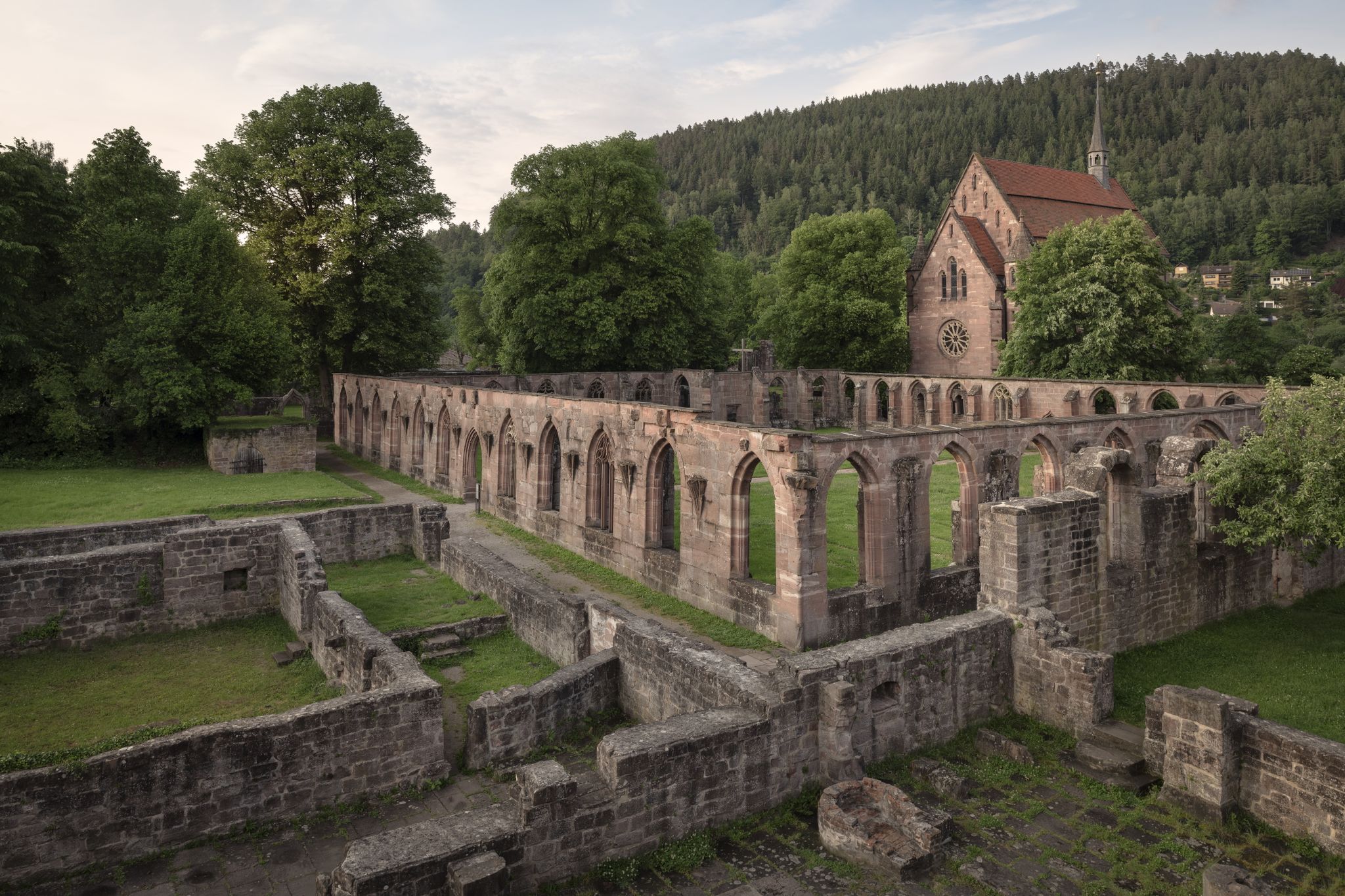
Cycling the Monastery Route in the Northern Black Forest
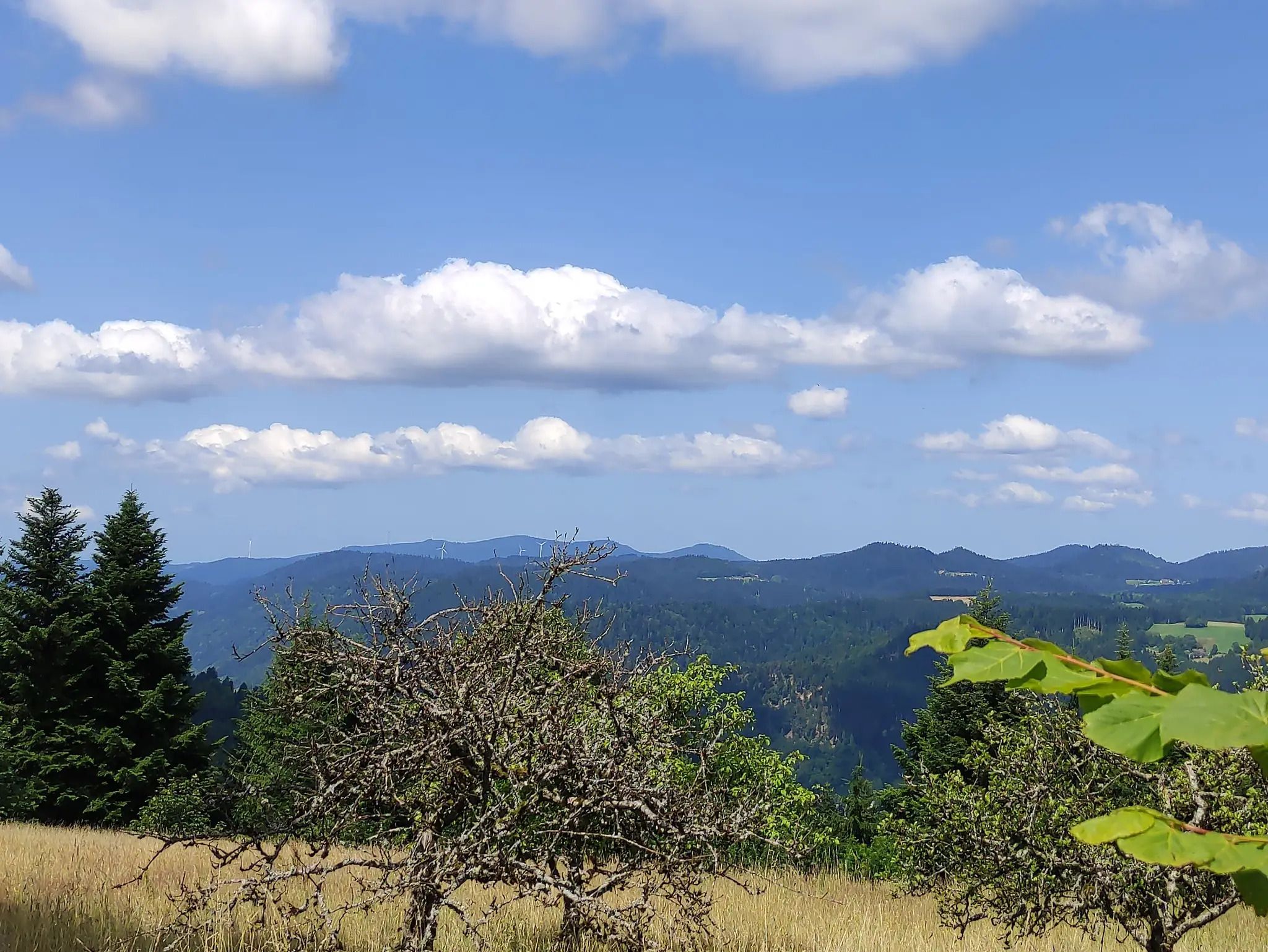
The Eastern Path of the Black Forest Association
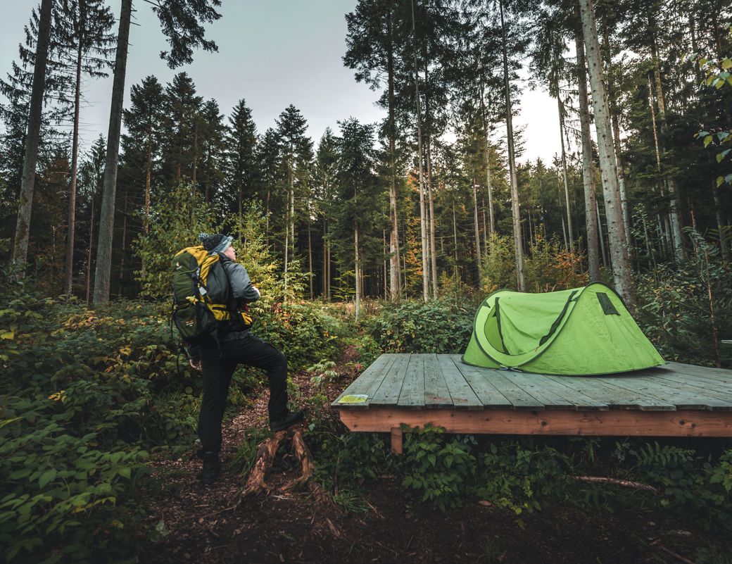
Special overnight stays and trekking camps in the Black Forest
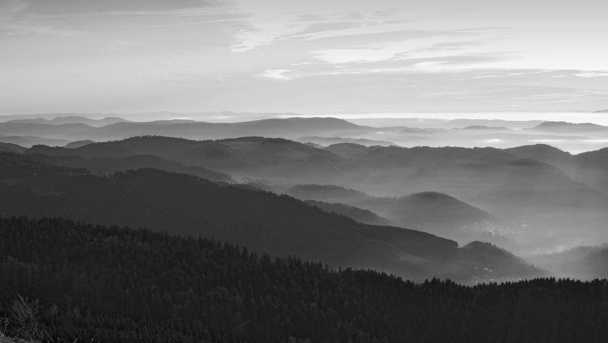
Let yourself be enchanted — hiking in the mystical Black Forest
Hiking around Pfalzgrafenweiler
MTB Trails around Pfalzgrafenweiler
Road Cycling Routes around Pfalzgrafenweiler
Running Trails around Pfalzgrafenweiler

Gravel biking around Pfalzgrafenweiler
Other adventures around Pfalzgrafenweiler


Tips from the Community

Beautiful fountain in the city park - nearby many seating areas and a café on the shore. a good place to chill.
5
0

Freudenstadt is particularly known for having Germany's largest market square
3
0

The Kohlsägmühle is already more than 400 years old. It was first mentioned in writing in 1614, located in the Zinsbachtal valley and named after the small stream Kohlbächlein. This date is mentioned in both the Altensteiger Forstlagerbuch and the Dorfbuch of Garrweiler, in whose district the mill stands. From the beginning, it was owned by several forest farmers. Today it belongs to more than 40 co-owners from Garrweiler, Spielberg and Überberg, Grömbach, Wörnersberg and Edelweiler - it is the only mill in the district with such an ownership structure.
2
0

The Bösinger Wasserhäusle was a pumping station and was used to transport fresh spring water from a source in the Waldach valley via cast iron pipes to the village of Bösingen (a district of the municipality of Pfalzgrafenweiler), located 1.4 km away and 140 meters higher up. The pumps were driven by the water power of the Waldach. A water wheel with a diameter of six meters was used. The facility went into operation in 1894. In 1911, it was supplemented by an 8 hp gasoline engine, which could now also drive the pumps during low water levels in the Waldach. In 1948, it was connected to the power grid via a transformer station, after which a newly installed electric motor could serve as a backup drive. The Bösingen's own water supply was taken out of service in 1991 due to drinking water contamination. The entire facility, including the weir, the power channel, and the pumping station, has been protected as a cultural-historical monument since 2000. The pumping station can be visited all day on the Day of the Open Monument. Source: https://de.wikipedia.org/wiki/B%C3%B6singer_Wasserh%C3%A4usle
0
0

Weir on the Waldach, 300-meter-long drive channel, iron, backward-acting water wheel with spur gear transmission, 6 meters in diameter (originally lined with wooden paddles), 3 meters of head in the drive channel, pump output: 3-5 HP depending on water inflow from the drive channel, double-acting plunger pump from Maschinenfabrik Esslingen from the year 1893 with a high-performance suction and delivery pump and pressure vessel. In 1991, the plant was shut down as a private water supply due to contaminated spring water. Depending on the water level of the Waldach, the pumping station managed to pump 160,000 liters of fresh spring water directly into the houses and into the water reservoir in Bösingen, 2.3 km away and 140 meters higher, in 8 to 14 hours. The spring yields 1-2 liters per second depending on the season.
0
0

There are several trees here that are not yet blooming. I think when everything is in full bloom, it will be even more beautiful.
0
0

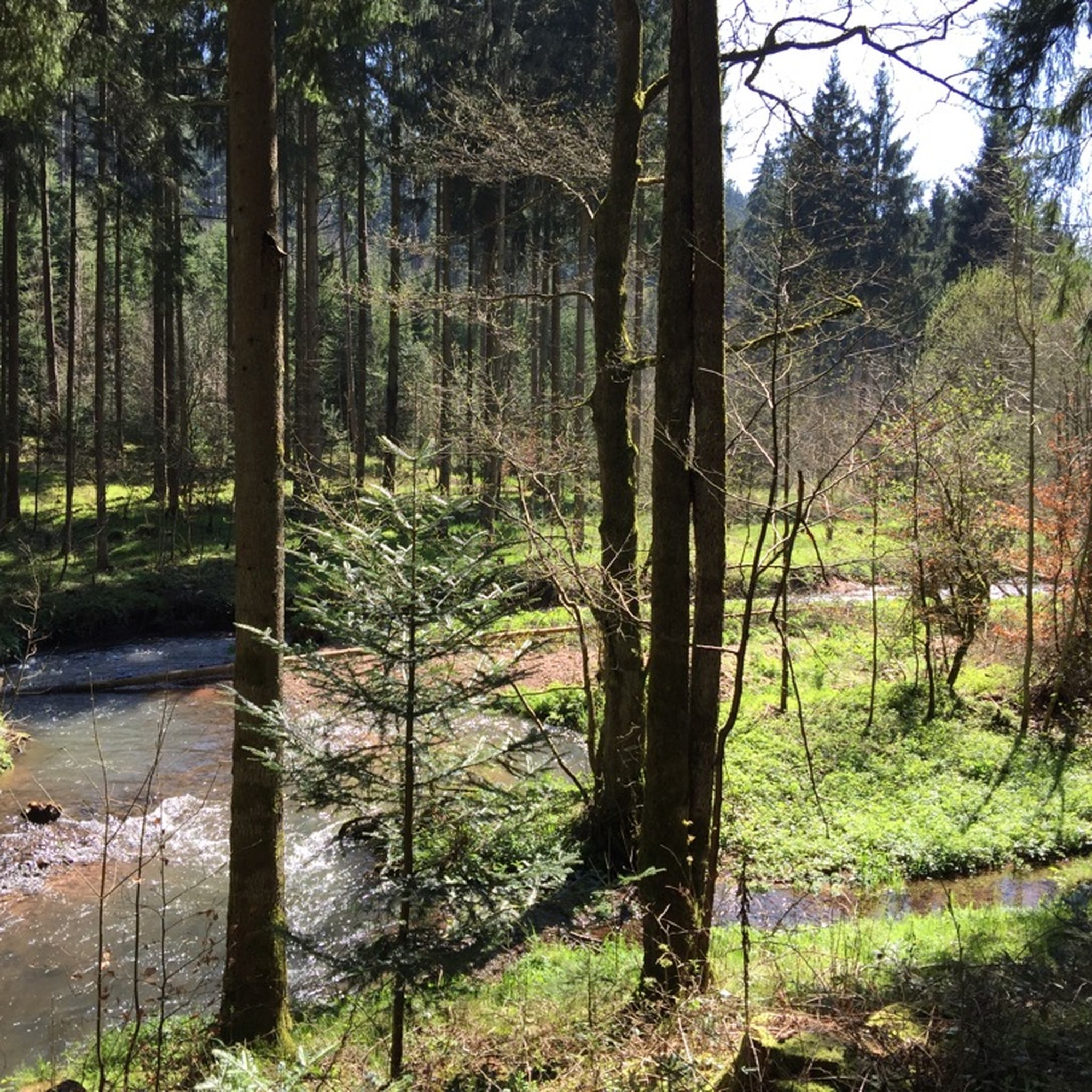
The Brömbachtal valley surprises with a calm, almost untouched atmosphere. The narrow stream meanders through dense forest, accompanied by moss-covered stones and small clearings that create a fresh, lively mood, especially in spring. Away from larger paths, the valley seems pleasantly secluded and invites you to slow down and consciously perceive your surroundings.
1
0

Freudenstadt's city train station is within walking distance of the market square. The station itself is unremarkable.
2
0
Frequently Asked Questions
How many touring cycling routes are available in Pfalzgrafenweiler?
Pfalzgrafenweiler offers a comprehensive network of over 80 touring cycling routes. These routes cater to various skill levels, from easy paths to more challenging trails through the diverse landscapes of the Northern Black Forest.
What is the typical difficulty level of touring cycling routes in Pfalzgrafenweiler?
The touring cycling routes in Pfalzgrafenweiler offer a good mix of difficulties. You'll find approximately 13 easy routes, 39 moderate routes, and 36 more difficult options, ensuring there's something for every cyclist, from beginners to experienced riders.
What kind of terrain can I expect on touring cycling routes around Pfalzgrafenweiler?
The terrain around Pfalzgrafenweiler is quite varied, reflecting its position on a high plateau in the Northern Black Forest. You can expect a mix of asphalt paths, gravel sections, and natural trails. Routes often traverse dense conifer forests, rolling hills, and picturesque river valleys like the Zinsbach, providing diverse riding experiences.
Are there family-friendly touring cycling routes in Pfalzgrafenweiler?
Yes, Pfalzgrafenweiler offers several family-friendly touring cycling routes. These paths are generally less demanding, allowing families to enjoy the scenic beauty of the region together. The area's diverse network ensures options suitable for all ages and abilities.
Are there any circular touring cycling routes in Pfalzgrafenweiler?
Many of the touring cycling routes in Pfalzgrafenweiler are designed as loops, allowing you to start and end your journey in the same location. For example, the popular Erzgrube Lake – Erzgrube Covered Bridge loop from Pfalzgrafenweiler is a moderate 32.1 km circular route, and the more challenging Seelenbaumlerweiher – Waldach Riverside Path loop from Pfalzgrafenweiler covers 47.3 km.
What natural features can I see while touring cycling in Pfalzgrafenweiler?
Pfalzgrafenweiler is rich in natural beauty. You can cycle through the ancient 'Hohe Tannen' Nature Reserve with its towering trees, explore the idyllic Zinsbachtal Valley with its historic mills, or enjoy panoramic views over the forests and valleys from elevated points like Russenbusch. The region is characterized by typical Black Forest scenery, including dense conifer forests and rolling hills.
Are there any historical sites or landmarks to explore along the touring cycling routes?
Yes, the region offers cultural and historical points of interest. You might encounter historic mills in the Zinsbachtal Valley or cycle towards the Rüdenberg Ruins. The Hohennagold Castle Ruins and Berneck Castle are also nearby attractions that can be incorporated into longer tours.
Can I find waterfalls near the touring cycling routes in Pfalzgrafenweiler?
While Pfalzgrafenweiler is known for its forests and valleys, there are some charming waterfalls and water features in the broader area. You could visit the Waterfall at the Lenzinsägmühle or the Kammerloch Waterfall, which offer pleasant detours from your cycling route.
When is the best time of year for touring cycling in Pfalzgrafenweiler?
The best time for touring cycling in Pfalzgrafenweiler is typically from spring through autumn. During these seasons, the weather is generally mild and the landscapes are vibrant. While winter offers cross-country skiing, cycling is most enjoyable when the trails are clear of snow and ice.
What do other touring cyclists enjoy the most about touring cycling in Pfalzgrafenweiler?
The touring cycling routes in Pfalzgrafenweiler are highly rated by the komoot community, with an average score of 4.5 stars from over 200 reviews. Cyclists often praise the region's diverse landscapes, the tranquility of the deep forests, and the well-maintained network of paths that cater to various skill levels. The scenic views and varied terrain are frequently highlighted as major draws.
Are dogs allowed on touring cycling routes in Pfalzgrafenweiler?
Generally, dogs are welcome on public cycling paths and trails in Pfalzgrafenweiler, provided they are kept on a leash and under control. It's always a good idea to check specific local regulations or signage, especially in nature reserves, but most routes are suitable for cycling with your canine companion.
Where can I park my car when going touring cycling in Pfalzgrafenweiler?
Pfalzgrafenweiler, being a hub for outdoor activities, typically offers various parking options within the town and at popular trailheads. Look for designated parking areas near the town center or at the start of well-known routes. Many routes, like the Saur Bakery loop from Pfalzgrafenweiler, often begin and end in places with convenient parking access.
Most popular routes around Pfalzgrafenweiler
Most popular attractions around Pfalzgrafenweiler

Get inspired with the komoot mobile app


Explore more
Browse the best Cycling routes in other regions.
