Easy hikes and walks around Königswiesen
4.6
(2580)
14,672
hikers
76
hikes
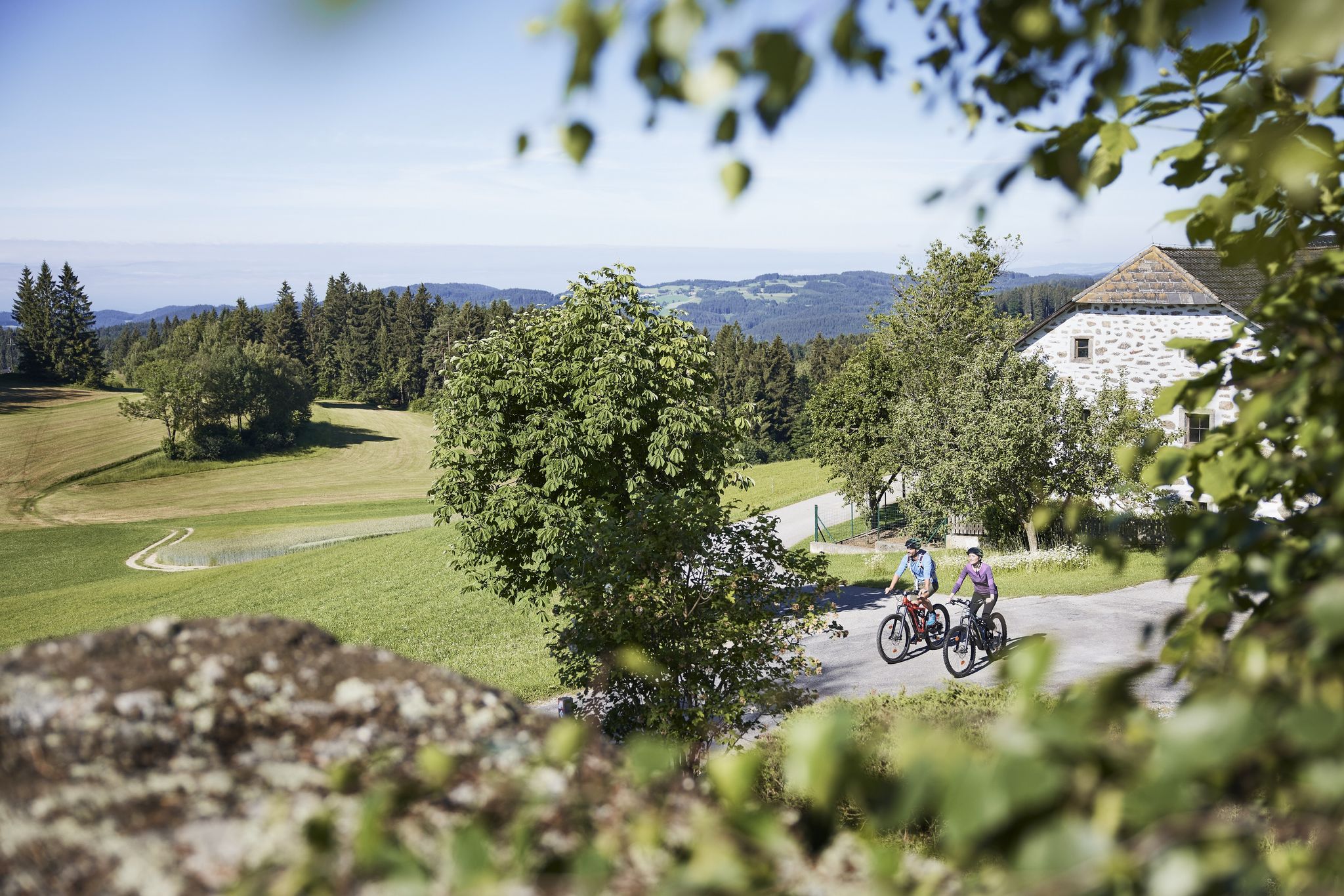
Easy hiking trails around Königswiesen traverse a landscape characterized by rolling hills and dense forests within the picturesque Mühlviertel region. The area features the Mühlviertler Granite Highlands, showcasing impressive granite formations and deeply furrowed valleys. Hikers can explore paths along the clear waters of the Große Rodl and Kleine Rodl rivers, with routes often leading to viewpoints offering panoramic scenery.
Best easy hiking trails around Königswiesen
- The most popular easy hiking route is Johannesweg Hut – Summit Cross at Königswiesen…
Last updated: July 14, 2026
4.7
(15)
81
hikers
6.19km
01:44
120m
120m
Easy hike. Great for any fitness level. Easily-accessible paths. Suitable for all skill levels.
3.8
(5)
35
hikers
5.44km
01:31
110m
100m
Easy hike. Great for any fitness level. Easily-accessible paths. Suitable for all skill levels.

Sign up for free
4.0
(4)
27
hikers
6.35km
01:48
140m
140m
Easy hike. Great for any fitness level. Easily-accessible paths. Suitable for all skill levels.
4.5
(2)
21
hikers
5.52km
01:47
230m
230m
Easy hike. Great for any fitness level. Easily-accessible paths. Suitable for all skill levels.
4.5
(2)
21
hikers
4.67km
01:20
110m
110m
Easy hike. Great for any fitness level. Easily-accessible paths. Suitable for all skill levels.
Get access to more routes and recommendations from other explorers.
Sign up for free
Already have an account?
Our route recommendations are based on thousands of hikes, rides, and runs completed by other people on komoot.
Start today with a free account
Your next adventure awaits.
Login or Signup
Popular around Königswiesen
Other adventures around Königswiesen

Tips from the Community

You'll find a coffee machine, chilled drinks, and granola bars here. A very well-maintained rest stop awaits you.
0
0


It's worth going up here😉⚜️
1
1

Hostel for St. John's Way hikers and a cozy rest with drinks and toilet for day hikers
1
0

Very nice place to relax.
0
0
Very nice rest area at the cross, invites you to linger. Great view.
0
0
You can't see the ladder to heaven here, you have to go a little to the right at the top and then you'll see the ladder to heaven.
1
0
Frequently Asked Questions
How many easy hiking trails are there around Königswiesen?
Königswiesen offers a good selection of easy hiking trails, with over 25 routes specifically categorized as easy. In total, there are more than 75 hiking routes available in the area, catering to various difficulty levels.
Are there any easy circular hikes in Königswiesen?
Yes, Königswiesen features several easy circular hikes. A popular option is the Johannesweg Hut – Summit Cross at Königswiesen loop from Harlingsedt, which offers scenic views. Another well-liked route is the Lumis Alm – Moser Alm loop from Lumi´s Alm, taking you through meadows and forests.
What natural attractions can I see on an easy hike in Königswiesen?
The region is known for its impressive granite formations within the Mühlviertler Granite Highlands. You can explore paths along the Große Rodl and Kleine Rodl rivers. Notable natural monuments include the Lohnbach Waterfall and the unique Schwammerlstein rock formation. The Stone Giants – Summit Cross at Königswiesen loop from Königswiesen also showcases some of these geological features.
Are there family-friendly easy hikes in Königswiesen?
Yes, Königswiesen is very family-friendly. The 'Zauberwald' Children's Adventure Trail is specifically designed for younger explorers, allowing them to engage with nature playfully. Many of the easy routes, such as the Königswiesen – Königswiesen Parish Church loop from Königswiesen, are suitable for families.
What are the best viewpoints on easy trails around Königswiesen?
Several easy trails lead to rewarding viewpoints. The 'Himmelsleiter' Lookout Point offers grandiose panoramic views. The Summit Cross at Königswiesen, accessible via routes like the Johannesweg Hut – Summit Cross at Königswiesen loop from Harlingsedt, also provides excellent vistas of the surrounding landscape.
What do other hikers enjoy most about hiking in Königswiesen?
The easy hiking trails around Königswiesen are highly rated by the komoot community, with an average score of 4.6 stars from over 290 reviews. Hikers often praise the picturesque Mühlviertel landscape, the well-maintained paths, and the diverse scenery ranging from rolling hills and dense forests to impressive granite formations.
Are there any waterfalls accessible on easy hikes near Königswiesen?
Yes, the Lohnbach Waterfall is a notable natural attraction in the area. It's part of the Lohnbachfall – Steinerne Stube, a tranquil trail known for its wild, moss-overgrown cairns, making it a worthwhile destination for an easy hike.
What is the best time of year for easy hikes in Königswiesen?
The changing seasons bring vibrant displays to Königswiesen. Spring offers colorful flower meadows, while autumn provides shining leaves, making both seasons particularly pleasant for hiking. The trails are generally accessible and enjoyable from spring through autumn.
Are there any historical landmarks to see on easy hikes?
While focusing on natural beauty, some trails offer glimpses of historical elements. The Ruins of Ruttenstein provide a 360° panoramic view and can be reached via hiking paths. Additionally, the Wolfsschlucht Nature and Culture Trail combines natural beauty with information about past spa operations.
Are dogs allowed on the easy hiking trails in Königswiesen?
Many trails in the Königswiesen region are dog-friendly, allowing you to enjoy the natural beauty with your canine companion. It's always recommended to keep dogs on a leash and adhere to local regulations to ensure a pleasant experience for everyone.
Are there any easy routes that pass by traditional alms or huts?
Yes, some easy routes incorporate traditional alms. The Moser Alm – Lumis Alm loop from Mönchdorf is an example, leading through the scenic Mühlviertel landscape and offering opportunities to experience local hospitality.
What kind of terrain can I expect on easy hikes in Königswiesen?
Easy hikes in Königswiesen typically feature rolling hills, dense forests, and paths along clear rivers. The terrain is generally well-maintained, with some routes showcasing the unique granite formations of the Mühlviertler Granite Highlands. Expect a mix of open meadows and sheltered woodland paths.
Most popular routes around Königswiesen
Most popular attractions around Königswiesen

Get inspired with the komoot mobile app


Explore more
Browse the best Hikes in other regions.
