Easy hikes and walks around Staßfurt
4.6
(1903)
7,953
hikers
97
hikes
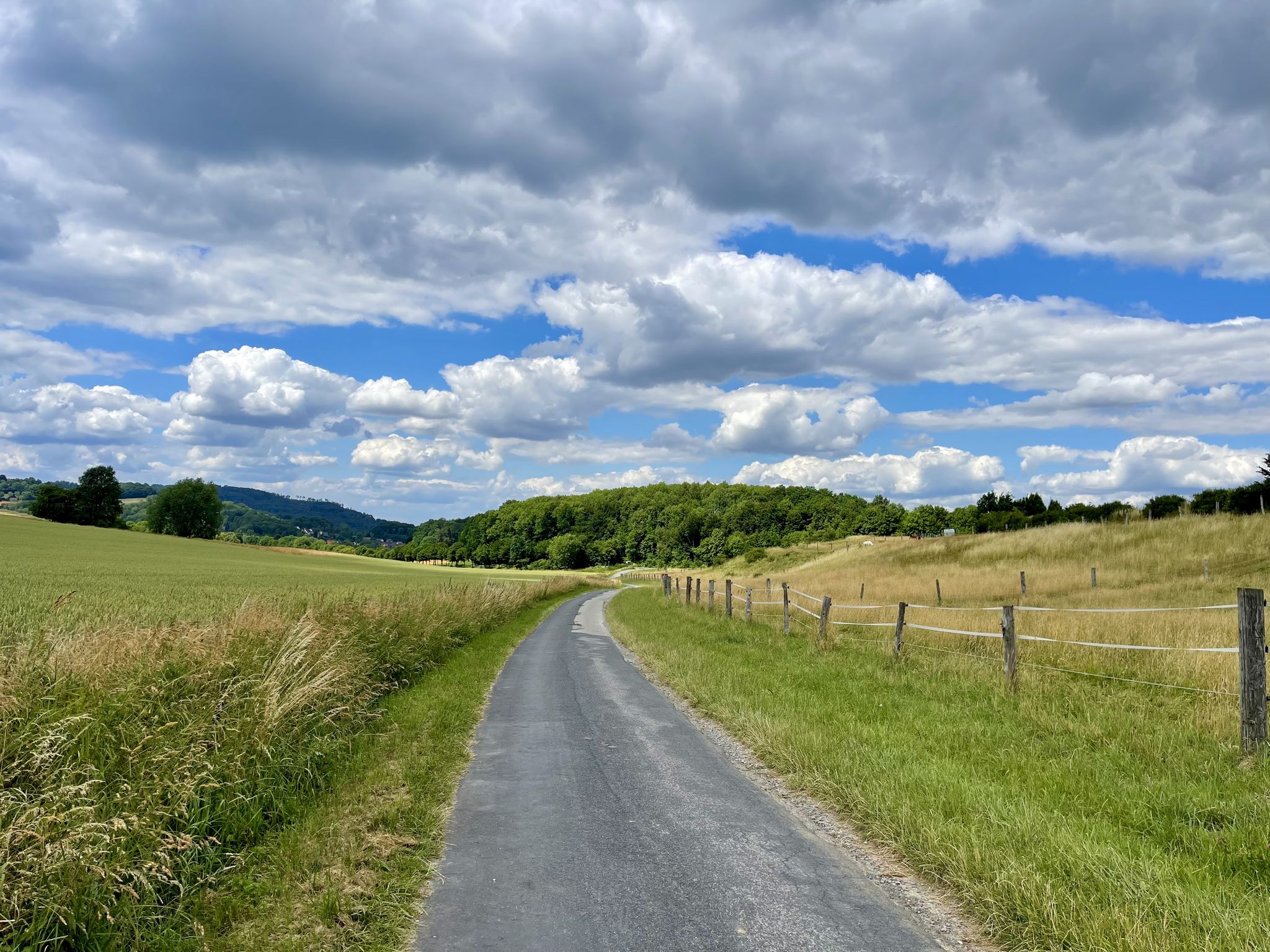
Easy hiking trails around Staßfurt traverse a varied landscape in Saxony-Anhalt, characterized by a mix of natural features and historical elements. The region features several lakes, such as Löderburger See, offering opportunities for circular routes. While Staßfurt itself is not mountainous, its location provides access to the broader low mountain range of the Harz Mountains. The area also includes parts of the Green Belt and various nature parks, providing diverse terrain for outdoor activities.
Best easy hiking trails around Staßfurt
…Last updated: July 14, 2026
4.2
(17)
69
hikers
3.47km
00:53
10m
10m
Easy hike. Great for any fitness level. Easily-accessible paths. Suitable for all skill levels.
4.4
(19)
57
hikers
5.54km
01:25
20m
20m
Easy hike. Great for any fitness level. Easily-accessible paths. Suitable for all skill levels.

Sign up for free
5.0
(6)
22
hikers
4.63km
01:10
10m
10m
Easy hike. Great for any fitness level. Easily-accessible paths. Suitable for all skill levels.
4.8
(5)
13
hikers
Easy hike. Great for any fitness level. Easily-accessible paths. Suitable for all skill levels.
5.0
(2)
21
hikers
5.57km
01:25
10m
10m
Easy hike. Great for any fitness level. Easily-accessible paths. Suitable for all skill levels.
Get access to more routes and recommendations from other explorers.
Sign up for free
Already have an account?
Our route recommendations are based on thousands of hikes, rides, and runs completed by other people on komoot.
Start today with a free account
Your next adventure awaits.
Login or Signup
Popular around Staßfurt
Other adventures around Staßfurt

Tips from the Community

Beautiful castle 🏰, which is gradually being renovated since the 90s. 👍
0
0

Hohenerxleben Castle is a castle located in the Hohenerxleben district of the town of Staßfurt in Saxony-Anhalt, directly on the banks of the Bode river. It is used as a hotel, restaurant, and theater.
0
0


In Hohenerxleben, the term "Kanonenbahn" refers to a historic section of railway that was part of the former Berlin-Blankenheim Railway. This line, also known as the Wetzlar Railway, was originally built for military purposes to quickly transport troops and equipment, especially in times of war, and was therefore given the name "Kanonenbahn." The line also served to relieve congestion on other important railway lines. The Kanonenbahn ran through Hohenerxleben and is still partially usable today as a railway cycle path, such as the bridge over the Bode River between Löbnitz and Hohenerxleben. However, the connection through the fields towards Bernburg has been interrupted since the demolition of a structure in 2009. The residents of Hohenerxleben would like to continue to have a connection through the fields to better enjoy nature and culture. In summary, the Kanonenbahn in Hohenerxleben is a historic railway section of military strategic importance, which is now partly used as a cycle path and whose connection to the fields towards Bernburg is still desired by local residents.
0
0

The lake is almost always used for angling, as fishing rights are legally granted to every body of surface water. Since this is accompanied by a duty of care in most German federal states, the aim is to maintain a near-natural fish population in gravel pits used for fishing through stocking[4]. Some lakes have beaches or are also set up for other types of water sports, particularly boating, water skiing, or windsurfing. Large parking areas, lifeguards, and restaurants are also set up for these uses. Some gravel pits are accessible by public transport. In some cases, the gravel pit is subsequently used for nature conservation, such as the two gravel pits in the Aitrach gravel pit nature reserve.
0
0
Where mining has cut into the groundwater level, groundwater-fed quarry ponds are created. Less frequently, quarry ponds are deliberately created, primarily as local recreation areas. The mining pits are usually landscaped in accordance with legally required renaturation.
0
0
In common parlance, all water-filled remnants of a wet excavation are called "quarry lakes." In technical terms, it has been suggested that bodies of water with a size of less than three hectares and a water depth of less than four meters be called "gravel ponds," as they do not meet the limnological definition of a lake.[2] However, this has not been adopted.
0
0
A gravel pit (also known as a quarry lake, gravel pit, or gravel pond in Austria) is an artificial, usually relatively small lake created by dredging sand and gravel deposits (gravel mining), usually by wet mining. It is often flowed through by groundwater.
0
0
Frequently Asked Questions
What kind of terrain can I expect on easy hiking trails around Staßfurt?
The easy hiking trails around Staßfurt traverse a varied landscape, characterized by flat paths around lakes like the Löderburger See and gentle routes through nature parks. While the immediate area is not mountainous, you'll find a mix of natural features and historical elements. The trails are generally well-marked and suitable for leisurely walks.
Are there many easy hiking trails available in the Staßfurt region?
Yes, the Staßfurt region offers a good selection of easy hiking trails. There are over 70 easy routes available, making it a great destination for relaxed walks and beginner-friendly excursions.
Can I find circular hiking routes suitable for easy walks near Staßfurt?
Absolutely. Many of the easy trails around Staßfurt are circular, perfect for a convenient day out. For example, the View over Lake Löderburg – Lake Löderburg loop from Löderburg is a popular choice, offering scenic views around the lake.
What natural features can I see along the easy hiking trails in Staßfurt?
The easy trails often feature beautiful natural elements, particularly lakes and water bodies like the Löderburger See and Athensleber Teiche. You might also encounter parts of the Green Belt, which offers a unique blend of nature and history, or explore tranquil paths within nearby nature parks such as the Lower Saale Valley Nature Park.
Are there any historical landmarks or attractions along the easy hiking routes?
Yes, the region combines nature with history. You can find historical sites and castles nearby. For instance, the St. Jakobi Church – View over Lake Löderburg loop from Löderburg connects a local church with scenic lake views. Other notable attractions in the broader area include Bernburg Castle and the unique graduation tower in Bad Salzelmen.
Are the easy hiking trails around Staßfurt suitable for families with children?
Many of the easy trails are ideal for families. Their gentle gradients and shorter distances make them accessible for children. Routes around lakes, like the Löderburger See – Zille paintings at Barleber See loop from Löderburg, are particularly enjoyable for a family outing.
Are there dog-friendly easy hiking trails in the Staßfurt area?
Yes, the natural landscapes and open paths around Staßfurt are generally welcoming for dogs. Most easy trails, especially those through forests and around lakes, are suitable for walks with your canine companion. Always remember to keep your dog on a leash where required and clean up after them.
What is the best season for easy hiking in Staßfurt?
Staßfurt offers pleasant easy hiking experiences throughout much of the year. Spring brings blooming nature, summer allows for refreshing walks near lakes, and autumn provides beautiful foliage. Even in winter, with appropriate gear, some of the flatter, well-maintained paths can be enjoyable.
Where can I find parking for easy hiking trails near Staßfurt?
Parking is generally available near popular trailheads and attractions in the Staßfurt region. For routes around specific lakes or villages, you'll often find designated parking areas. It's advisable to check local signage for any parking restrictions.
What do other hikers enjoy most about the easy trails in Staßfurt?
The easy trails in Staßfurt are highly rated by the komoot community, with an average score of 4.5 stars. Hikers often praise the peaceful atmosphere, the scenic views of the lakes, and the accessibility of the paths, making them perfect for a relaxing outdoor experience.
Are there any easy trails that offer views of the Bode River?
Yes, you can find easy trails that lead through areas near the Bode River. The Bode Bridge loop from Salzlandkreis is an excellent option for exploring the riverside landscape on a gentle walk.
Can I reach hiking trails near Staßfurt using public transport?
While some trailheads might be accessible via local bus services, direct public transport links to all hiking starting points can be limited. It's recommended to check local bus schedules for specific routes or consider combining public transport with a short walk or taxi ride to reach more remote trail access points.
Most popular routes around Staßfurt
Most popular attractions around Staßfurt

Get inspired with the komoot mobile app


Explore more
Browse the best Hikes in other regions.
