The best walks and hikes around Staßfurt
4.6
(1903)
7,953
hikers
97
hikes
Hiking around Staßfurt offers a mix of gentle routes through flat terrain, extensive fields, and numerous lakes, characteristic of the Salzlandkreis district. The town is situated on the Bode river, providing opportunities for riverside walks. While the immediate area features mostly easy paths, its location in Saxony-Anhalt allows access to diverse landscapes. These include the low mountain ranges of the Harz Mountains to the south, known for dense forests and higher elevations, and the Middle Elbe Biosphere Reserve with its…
Last updated: July 10, 2026
4.2
(17)
69
hikers
3.47km
00:53
10m
10m
Easy hike. Great for any fitness level. Easily-accessible paths. Suitable for all skill levels.
4.4
(14)
61
hikers
10.00km
02:32
30m
30m
Moderate hike. Good fitness required. Easily-accessible paths. Suitable for all skill levels.

Sign up for free
4.4
(19)
57
hikers
5.54km
01:25
20m
20m
Easy hike. Great for any fitness level. Easily-accessible paths. Suitable for all skill levels.
4.7
(98)
281
hikers
8.97km
02:18
30m
30m
Moderate hike. Good fitness required. Easily-accessible paths. Suitable for all skill levels.
5.0
(6)
22
hikers
4.63km
01:10
10m
10m
Easy hike. Great for any fitness level. Easily-accessible paths. Suitable for all skill levels.
Get access to more routes and recommendations from other explorers.
Sign up for free
Already have an account?
Our route recommendations are based on thousands of hikes, rides, and runs completed by other people on komoot.
Start today with a free account
Your next adventure awaits.
Login or Signup
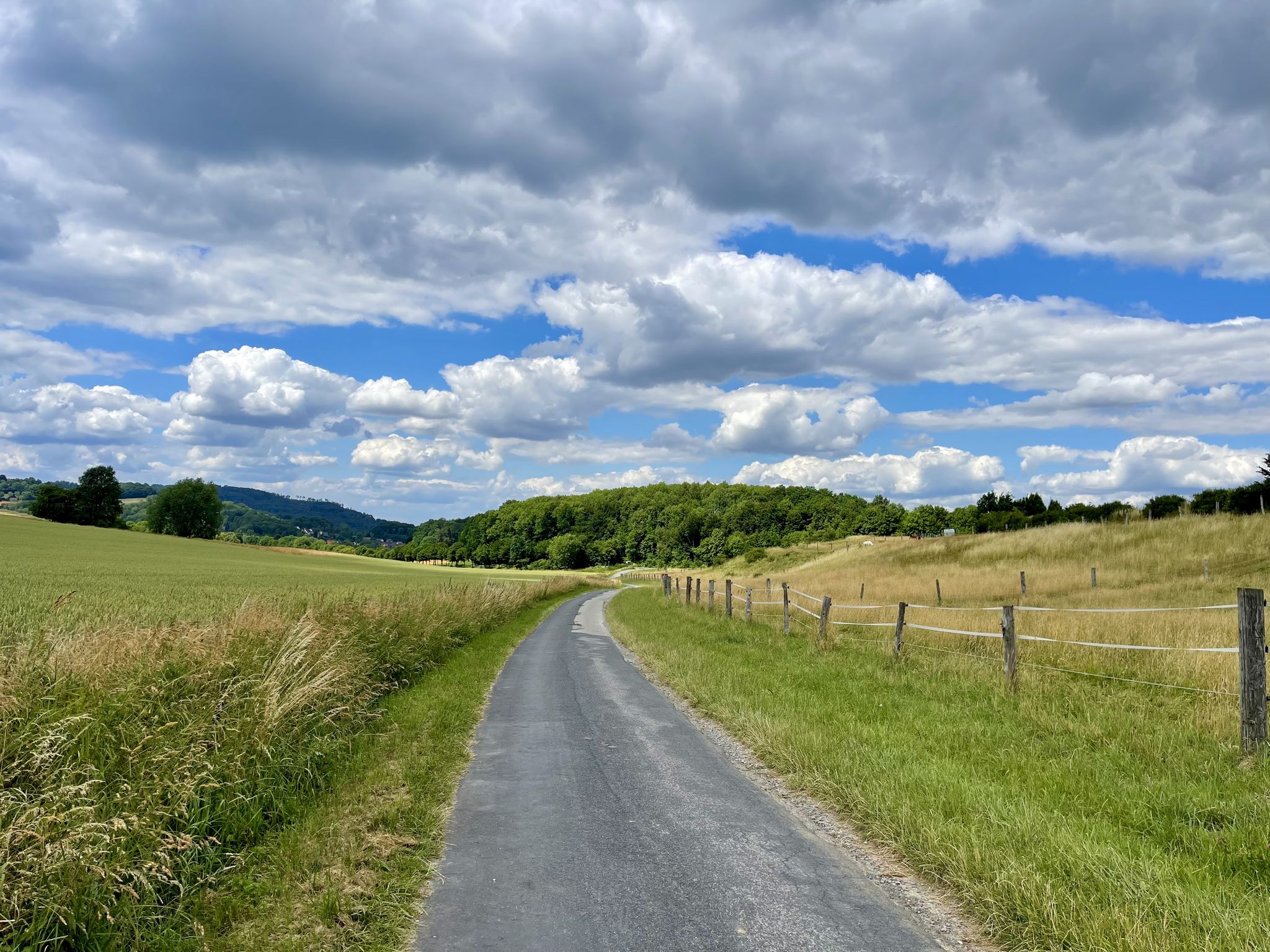
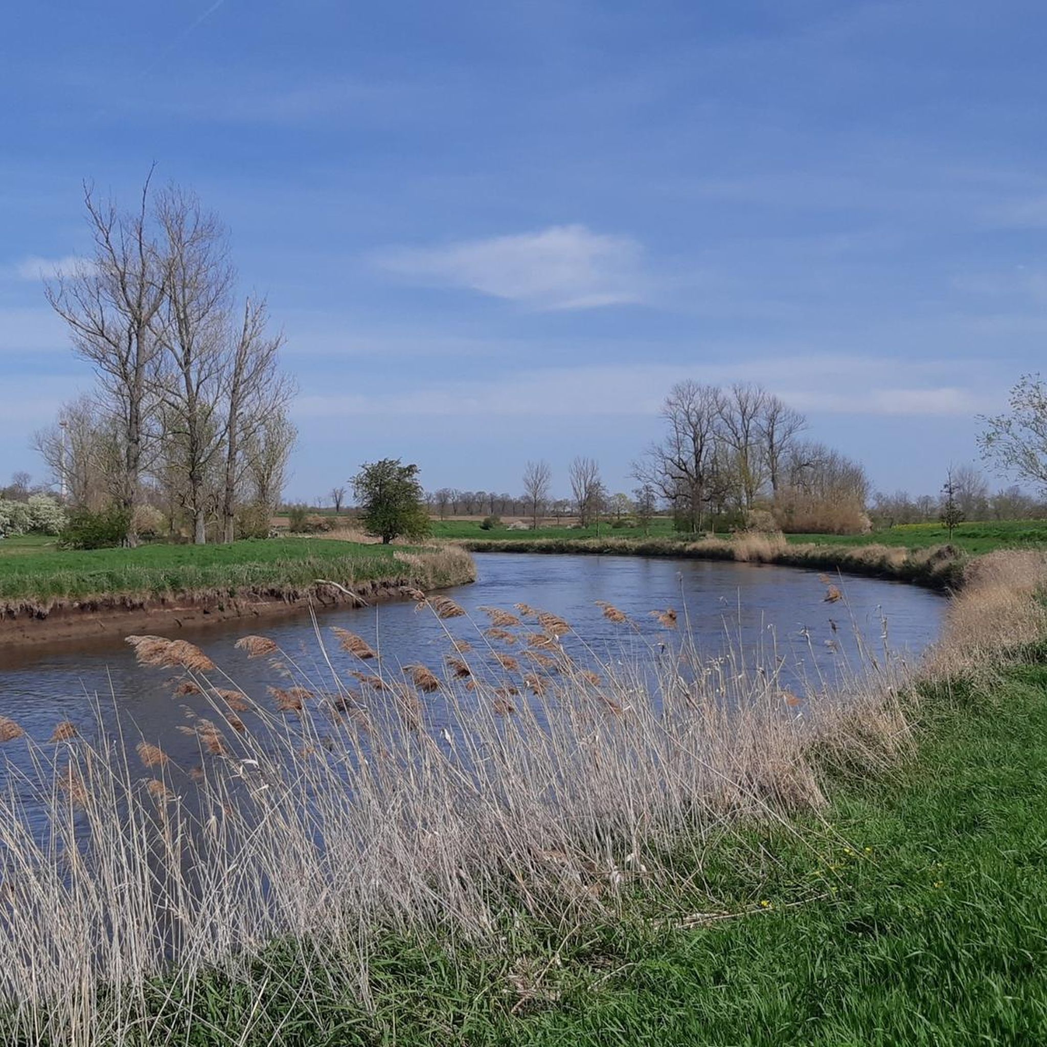
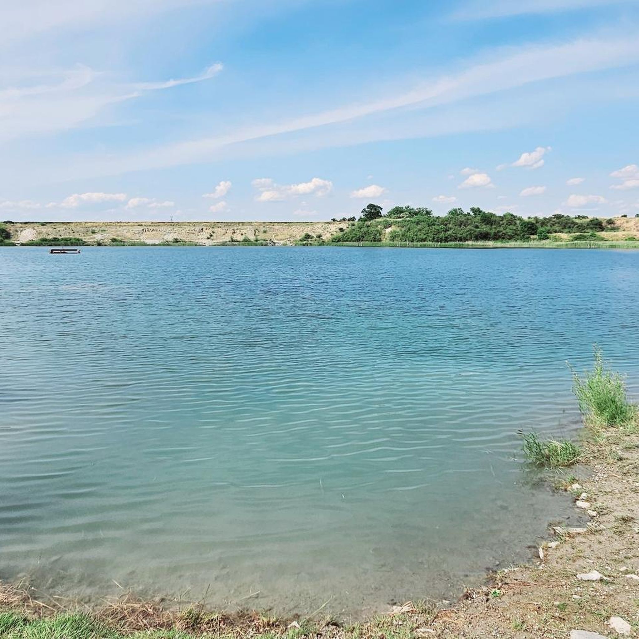
Other adventures around Staßfurt

Tips from the Community

To say the road itself isn't very pleasant to cycle on is a very, very, very mild way of putting it. For me, it was the worst section of the entire R1 EuroVelo route I'd cycled so far! But the castle and its grounds were truly impressive.
1
0

Passed by here on a short hike through and around Neugattersleben.
0
0
Passed by here on a short hike through and around Neugattersleben.
2
0
Passed by here on a short hike through and around Neugattersleben.
0
0
Passed by here on a short hike through and around Neugattersleben.
0
0
Passed by here on a short hike through and around Neugattersleben.
0
0

The lake is almost always used for angling, as fishing rights are legally granted to every body of surface water. Since this is accompanied by a duty of care in most German federal states, the aim is to maintain a near-natural fish population in gravel pits used for fishing through stocking[4]. Some lakes have beaches or are also set up for other types of water sports, particularly boating, water skiing, or windsurfing. Large parking areas, lifeguards, and restaurants are also set up for these uses. Some gravel pits are accessible by public transport. In some cases, the gravel pit is subsequently used for nature conservation, such as the two gravel pits in the Aitrach gravel pit nature reserve.
0
0
Where mining has cut into the groundwater level, groundwater-fed quarry ponds are created. Less frequently, quarry ponds are deliberately created, primarily as local recreation areas. The mining pits are usually landscaped in accordance with legally required renaturation.
0
0
Frequently Asked Questions
What kind of terrain can I expect on hiking trails around Staßfurt?
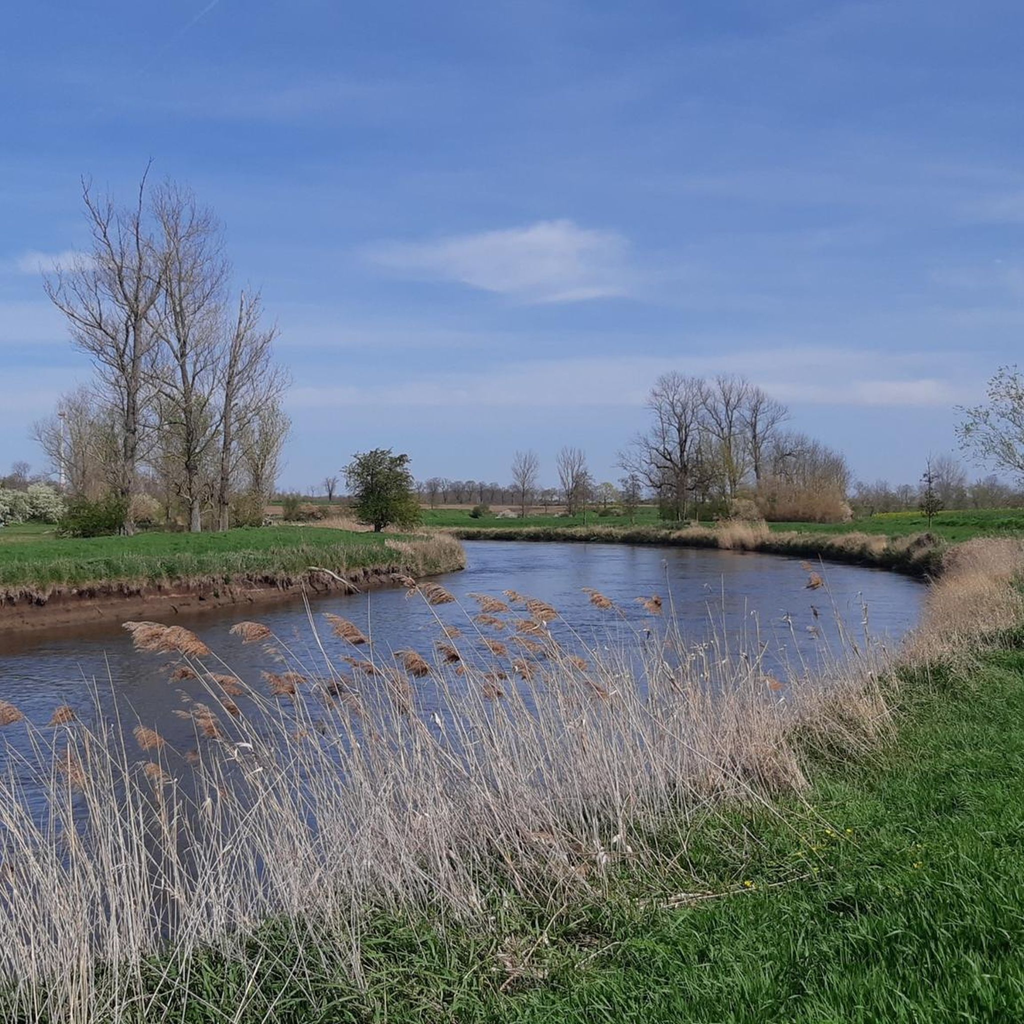
Hiking around Staßfurt itself is characterized by mostly flatter terrain, extensive fields, and numerous lakes, with opportunities for riverside walks along the Bode river. However, its location in Saxony-Anhalt provides access to diverse landscapes, from the low mountain ranges of the Harz Mountains with dense forests and higher elevations, to the floodplains of the Middle Elbe Biosphere Reserve and the unique gypsum karst landscapes of the Südharz.
Are there many hiking trails available in the Staßfurt area?
Yes, there are over 100 hiking trails around Staßfurt. These routes offer a variety of experiences, from easy strolls to more moderate excursions, catering to different fitness levels.
What do other hikers enjoy most about the trails near Staßfurt?
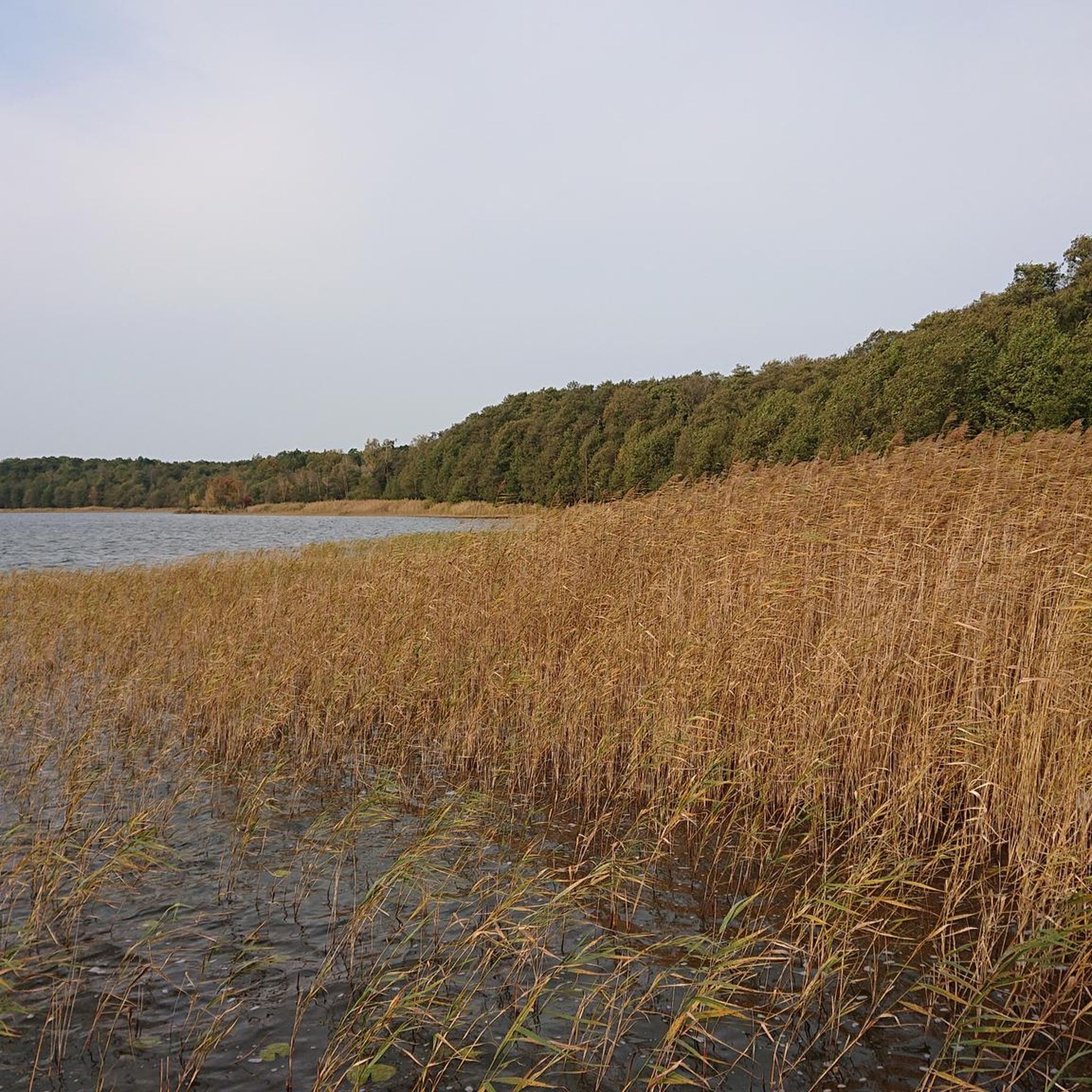
The hiking routes in Staßfurt are highly rated by the komoot community, with an average score of 4.5 stars from over 200 reviews. Hikers often praise the scenic views over lakes like Löderburger See and the tranquil paths along the Bode River.
Are there any easy hiking routes suitable for beginners or casual walkers?
Absolutely. A significant portion of the trails, over 70 routes, are classified as easy. For example, the View over Lake Löderburg – Lake Löderburg loop from Löderburg is an easy 3.4 km trail offering scenic lake views, perfect for a relaxed walk.
Can I find circular hiking routes around Staßfurt?
Yes, many of the trails around Staßfurt are designed as loops. A popular option is the St. Jakobi Church – View over Lake Löderburg loop from Löderburg, an easy 5.5 km path that includes views of Lake Löderburg and passes by St. Jakobi Church.
What kind of natural features or landmarks can I see while hiking?
The area offers a mix of natural beauty and historical sites. You can explore the tranquil Löderburger See, or discover historical structures like the Schloss Warmsdorf Ruins. In Bad Salzelmen, you can visit the unique Graduation tower, brine tower, and demonstration boiling house, which are significant to the region's salt-producing history.
Are there any hikes that follow the Bode River?
Yes, the Bode River flows through Staßfurt, providing opportunities for riverside walks. The Bode Bridge – Bode Weir, Staßfurt loop from Staßfurt is an easy 4.8 km route that allows you to experience the river's scenery directly.
What are some longer or more challenging hiking options in the area?
For a moderate challenge, consider the St. Jakobi Church – Athensleben Ponds loop from Löderburg, a 10 km trail that takes about 2 hours 30 minutes to complete. Another moderate option is the Bode River – Hohenerxleben Castle loop from Hohenerxleben, which is about 9 km long and includes views of Hohenerxleben Castle.
Is Staßfurt a good base for exploring other major hiking regions?
Yes, Staßfurt's location in Saxony-Anhalt makes it a strategic starting point for exploring diverse hiking regions. The Harz Mountains, Middle Elbe Biosphere Reserve, Karst Landscape Südharz Biosphere Reserve, and Düben Heath Nature Park are all accessible, offering a wide spectrum of hiking experiences from mountain trails to floodplain walks.
Are there any specific viewpoints or scenic spots recommended for hikers?
Many routes offer scenic views, particularly over the local lakes. The View over Lake Löderburg – Lake Löderburg loop from Löderburg is specifically highlighted for its scenic vistas. Additionally, the region boasts viewpoints like the View of Bernburg Castle, offering picturesque perspectives of historical sites.
What is the best time of year to go hiking around Staßfurt?
The region offers hiking opportunities throughout the year. Spring and autumn provide pleasant temperatures and beautiful natural colors, while summer is ideal for enjoying lakeside activities. Even winter can be suitable for hiking, especially on the flatter trails, though conditions should be checked.
Most popular routes around Staßfurt
Most popular attractions around Staßfurt

Get inspired with the komoot mobile app


Explore more
Browse the best Hikes in other regions.
