Easy hikes and walks around Wittichenau
4.7
(1776)
7,240
hikers
72
hikes
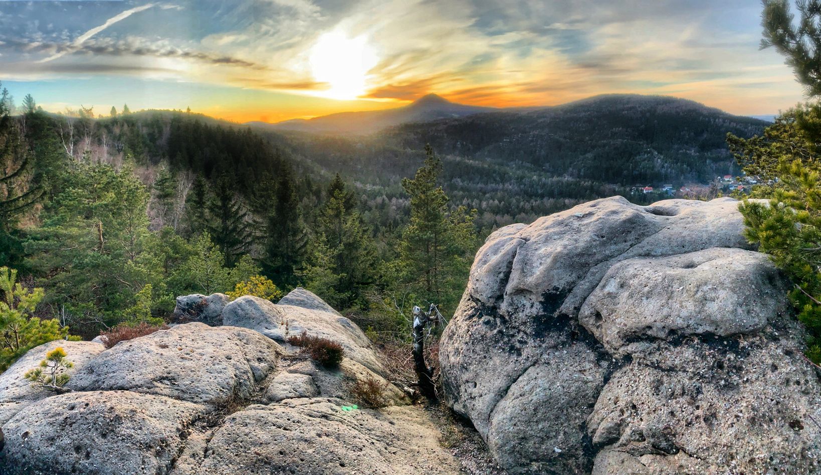
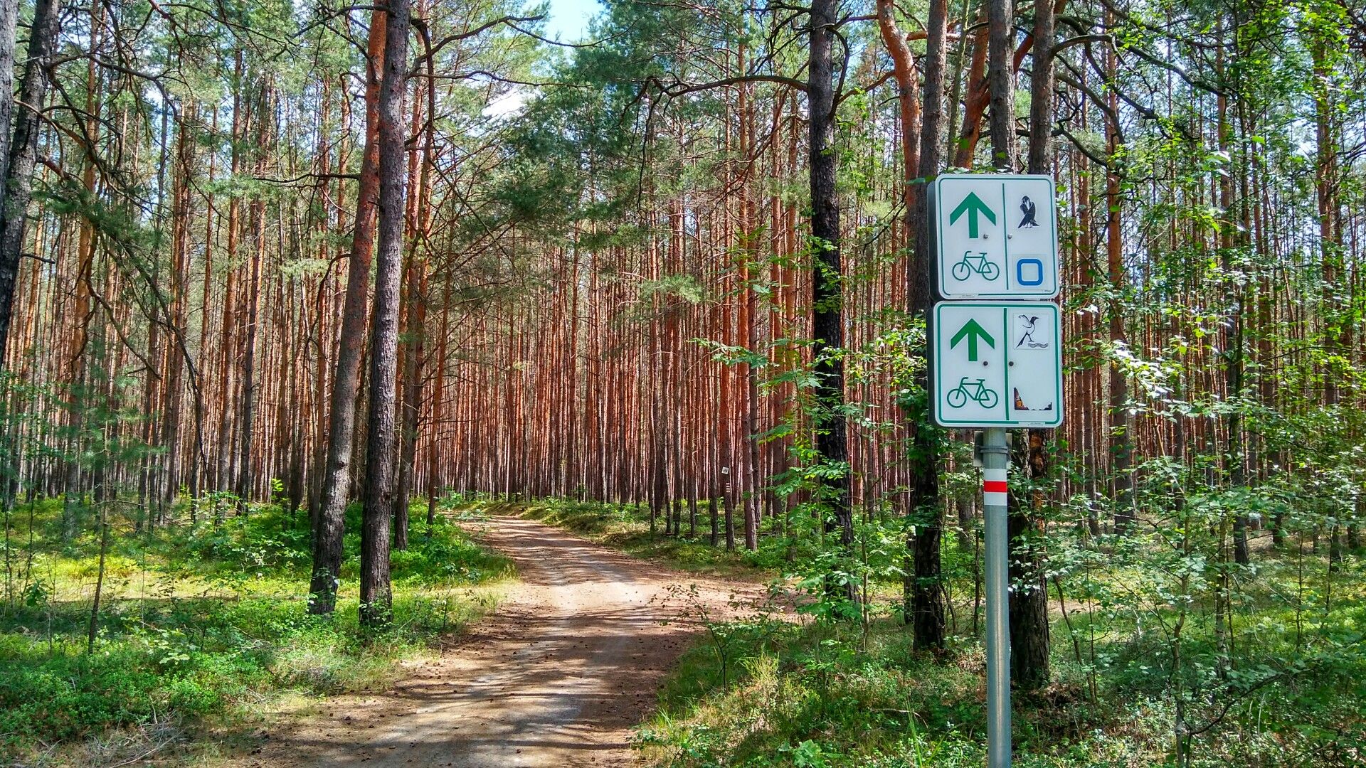
Easy hiking trails around Wittichenau are primarily characterized by the unique landscapes of the Dubringer Moor, the last largely preserved moor landscape in Lusatia. The region features a varied terrain of mires, fish ponds, and different forest types, offering habitats for diverse flora and fauna. The landscape also includes pond areas and the floodplain of the Black Elster river, contributing to its natural character. These features provide a generally flat and accessible environment for easy hiking.
Best easy hiking trails…
Last updated: June 30, 2026
4.7
(54)
176
hikers
Easy hike. Great for any fitness level. Easily-accessible paths. Suitable for all skill levels.
4.7
(6)
23
hikers
Easy hike. Great for any fitness level. Easily-accessible paths. Suitable for all skill levels.

Sign up for free
4.6
(12)
44
hikers
Easy hike. Great for any fitness level. Easily-accessible paths. Suitable for all skill levels.
4.5
(4)
17
hikers
Easy hike. Great for any fitness level. Easily-accessible paths. Suitable for all skill levels.
4.7
(3)
13
hikers
Easy hike. Great for any fitness level. Easily-accessible paths. Suitable for all skill levels.
Get access to more routes and recommendations from other explorers.
Sign up for free
Already have an account?
Our route recommendations are based on thousands of hikes, rides, and runs completed by other people on komoot.
Start today with a free account
Your next adventure awaits.
Login or Signup
Popular around Wittichenau


Tips from the Community

A beautiful path through the pond landscape
0
0

Zelder Dr. Fish Restaurant & Pond Farm - Weekends 11:00 AM - 8:00 PM Season ends: October 3, 2025 - Cash only https://zelders-fisch.de/index.html
1
0

Idyllically situated ponds on the cycle path between Wittichenau and Hoyerswerda, which you can hike or cycle around. A visit to the fish restaurant near Zelders, unfortunately only open on Sundays, is highly recommended. Absolutely delicious and freshly prepared – a real treat!
0
0

No, as far as I know, not a "lost place." These facilities should still be usable.
0
0

Footbridge as a photo motif
0
0

beautiful paths around the lakes
0
0

The Neudorf ponds have existed for more than 500 years and have been maintained by the Dr. Zelder family for three generations. Carp, tench, pike and other freshwater fish are bred in the ponds.
0
0
Frequently Asked Questions
What kind of terrain can I expect on easy hiking trails around Wittichenau?
Easy hiking trails around Wittichenau are primarily characterized by the unique landscapes of the Dubringer Moor. You can expect varied terrain including mires, fish ponds, and different forest types. The region is generally flat and accessible, making it ideal for easy walks. Some paths within the moor might be wet or muddy, especially in areas of high water.
Are there many easy hiking trails available in Wittichenau?
Yes, Wittichenau offers a good selection of easy hiking trails. There are over 40 easy routes available, providing plenty of options to explore the unique moorland and pond areas.
What natural features or landmarks can I see along easy hiking trails in Wittichenau?
Many easy trails will lead you through the expansive Dubringer Moor, where you can observe diverse flora and fauna. You might encounter the Dubringer Moor Observation Tower for panoramic views and birdwatching. Other natural highlights include the tranquil pond areas, such as those found on the Zelder’s Ponds – Dubringer Moor Fish Restaurant loop, and the floodplain of the Black Elster river.
Are the easy hiking trails around Wittichenau suitable for families with children?
Yes, the generally flat and accessible nature of the easy trails around Wittichenau makes them very suitable for families. Routes like the Gazebo with a view of Wusteteich – Krabat Cycle Route loop are relatively short and offer interesting sights like the Wusteteich, which can be engaging for children.
Can I bring my dog on the easy hiking trails in Wittichenau?
Most easy hiking trails in the Wittichenau area, particularly those through natural landscapes like the Dubringer Moor, are generally dog-friendly. However, it's always recommended to keep dogs on a leash, especially in nature reserve areas, to protect wildlife and ensure a pleasant experience for all hikers.
What do other hikers enjoy most about the easy trails in Wittichenau?
The easy hiking trails in Wittichenau are highly rated by the komoot community, with an average score of 4.5 stars. Hikers often praise the unique natural environment of the Dubringer Moor, the tranquility of the pond areas, and the opportunity to observe diverse wildlife. The well-maintained paths and accessible terrain are also frequently highlighted.
Are there any circular routes among the easy hiking trails?
Yes, many of the easy hiking trails around Wittichenau are designed as circular routes, offering convenient starting and ending points. Examples include the Krabat Circular Trail – Gazebo with a view of Wusteteich loop and the Waldbad Wittichenau loop.
Is there parking available near the easy hiking trails?
While specific parking details vary by trailhead, Wittichenau and its surrounding areas generally offer parking options for hikers. For routes exploring the Dubringer Moor or starting from Wittichenau itself, you can usually find designated parking areas or roadside parking suitable for accessing the trails.
What is the best time of year for easy hikes in Wittichenau?
The best time for easy hikes in Wittichenau is generally from spring to autumn. During these seasons, the weather is milder, and the natural landscape of the Dubringer Moor is vibrant with flora and fauna. While winter walks are possible, some paths might be wet or muddy, and facilities like the Wald- und Strandbad Wittichenau are seasonal.
Are there any places to eat or relax near the easy hiking trails?
Yes, after an easy hike, you can find places to eat and relax. The Zelder’s Ponds – Dubringer Moor Fish Restaurant loop, for example, suggests a fish restaurant. Additionally, the Wald- und Strandbad Wittichenau, located at the edge of the Dubringer Moor, offers a refreshing natural lido and facilities during warmer months.
How long do easy hikes around Wittichenau typically take?
The duration of easy hikes around Wittichenau varies depending on the route length. For instance, the Gazebo with a view of Wusteteich loop is about 2.2 miles (3.6 km) and takes approximately 55 minutes, while the Krabat Circular Trail loop is 4.5 miles (7.2 km) and can be completed in about 1 hour 50 minutes.
Are there any cultural points of interest near the hiking trails?
Wittichenau is situated in the core area of the Upper Sorbs, a West Slavic people with a rich cultural heritage. While not directly on the trails, exploring the town's Sorbian traditions, such as traditional costumes and religious practices, can add a cultural dimension to your visit. You can learn more about the Sorbs on Wikipedia.
Most popular routes around Wittichenau
Most popular attractions around Wittichenau

Get inspired with the komoot mobile app


Explore more
Browse the best Hikes in other regions.
