Easy hikes and walks in Sarganserland
4.6
(6689)
44,363
hikers
772
hikes
Easy hiking trails in Sarganserland, located in Eastern Switzerland, traverse a diverse landscape characterized by alpine peaks, pristine mountain lakes, and dramatic gorges. The region features varied terrain, from dense forests and picturesque alpine meadows to the shores of Lake Walen and the geological wonders of the Tamina Gorge. This area offers a network of paths suitable for easy hiking, providing access to natural features and viewpoints.
Best easy hiking trails in Sarganserland
- The most popular easy hiking route is…
Last updated: October 24, 2026
4.9
(34)
320
hikers
3.90km
01:04
60m
60m
Easy hike. Easily walkable paths.
4.5
(62)
326
hikers
3.97km
01:20
200m
200m
Easy hike. Easily walkable paths.

4.6
(28)
197
hikers
2.81km
00:45
30m
30m
Easy hike. Easily walkable paths.
4.3
(35)
122
hikers
4.74km
01:43
290m
280m
Easy hike. Easily walkable paths.
4.6
(27)
149
hikers
Easy hike. Easily walkable paths.
4.4
(12)
120
hikers
4.79km
01:37
240m
240m
Easy hike. Easily walkable paths.
4.8
(30)
324
hikers
Easy hike. Easily walkable paths.
4.7
(17)
64
hikers
6.09km
01:58
240m
240m
Easy hike. Easily walkable paths.
4.5
(8)
30
hikers
5.70km
01:47
200m
200m
Easy hike. Easily walkable paths.
4.8
(4)
36
hikers
Easy hike. Easily walkable paths.
Get access to more routes and recommendations from other explorers.
Already have an account?
Our route recommendations are based on thousands of hikes, rides, and runs completed by other people on komoot.
Start today with a free account
Your next adventure awaits.
Popular around Sarganserland
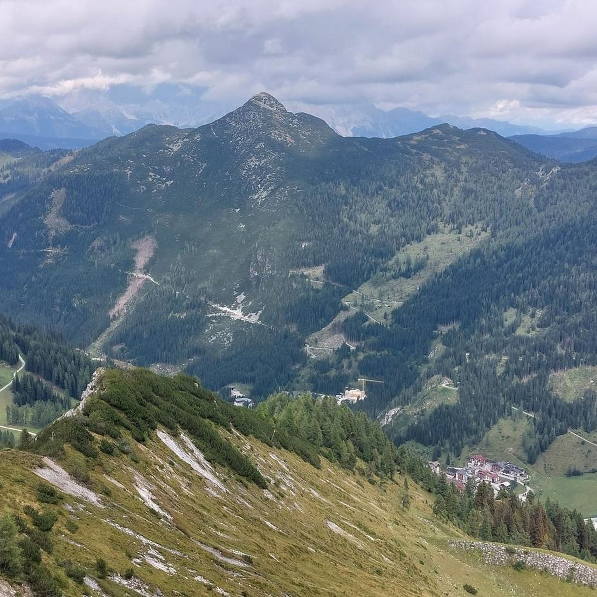
Easy hikes in Haut Lieu Tectonique Suisse Sardona
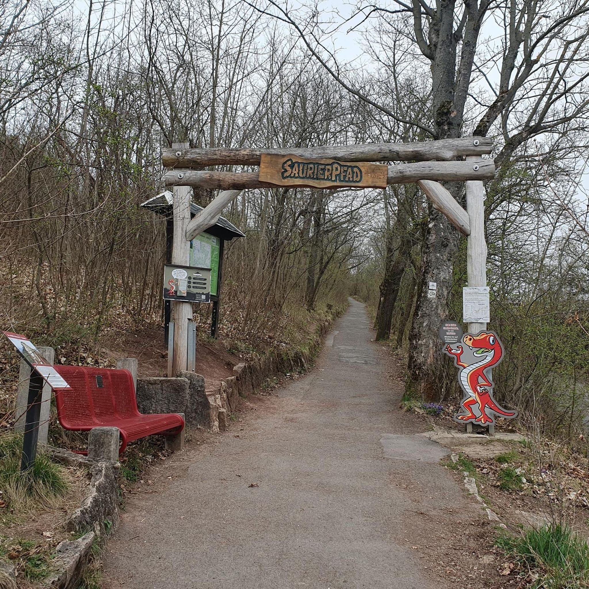
Easy hikes around Walensee
Easy hikes around Pumpspeicherkraftwerk Mapragg

Easy hikes around Oberer Murgsee
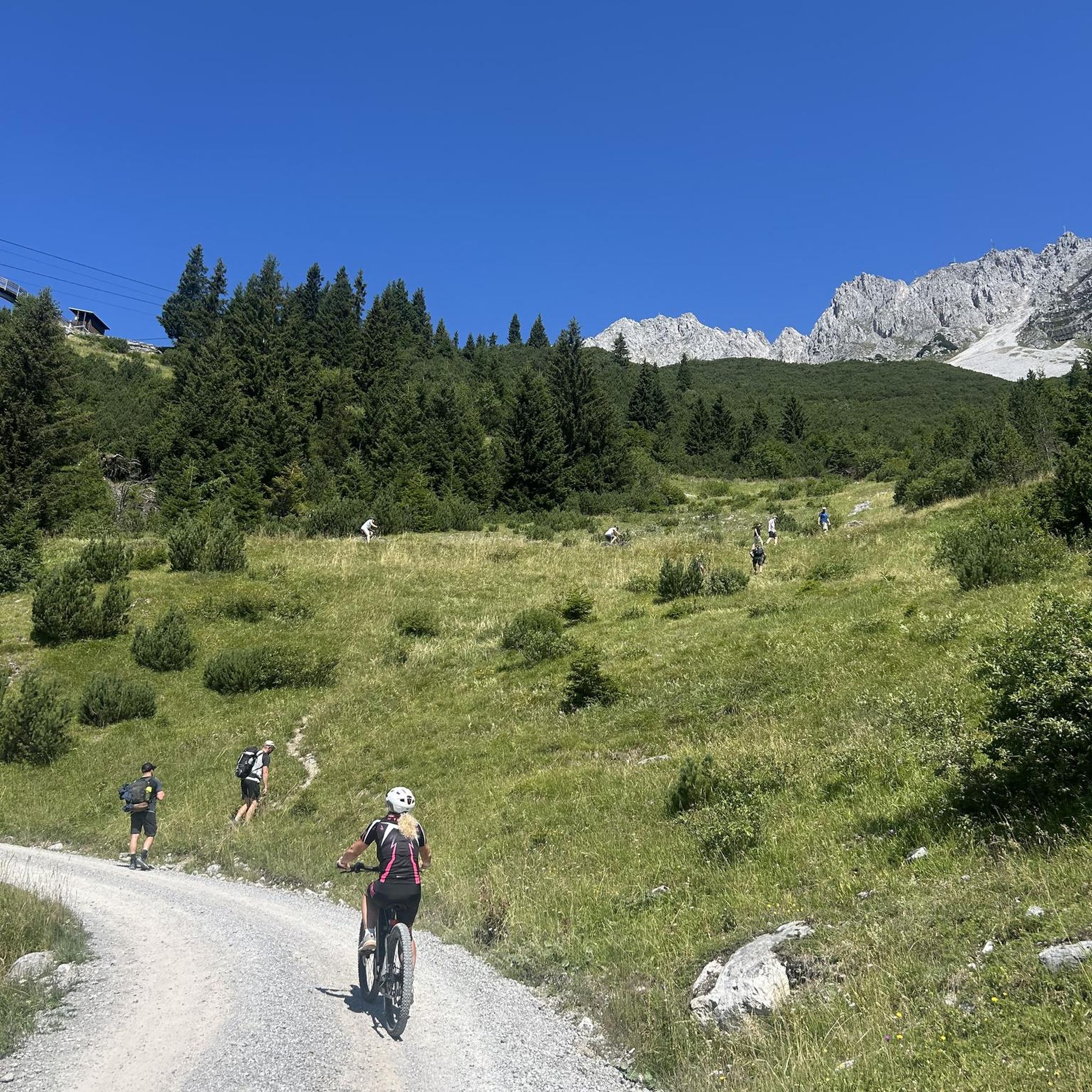
Easy hikes around Stausee Gigerwald
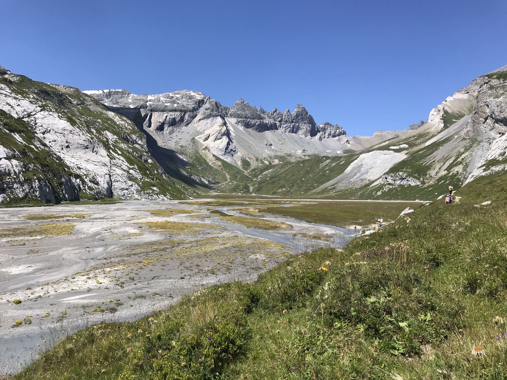
Sardona World Heritage Trail – Where the Alps once formed
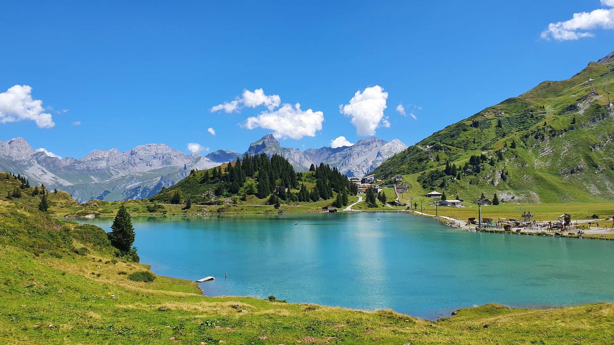
Via Alpina – The 15 stages of the Green Route
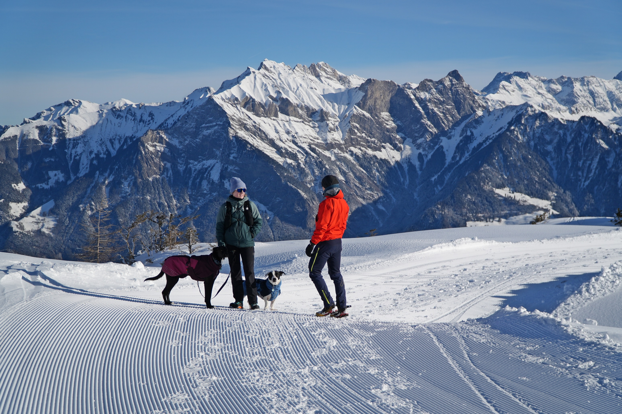
Enchanting winter hikes with dogs in Eastern Switzerland
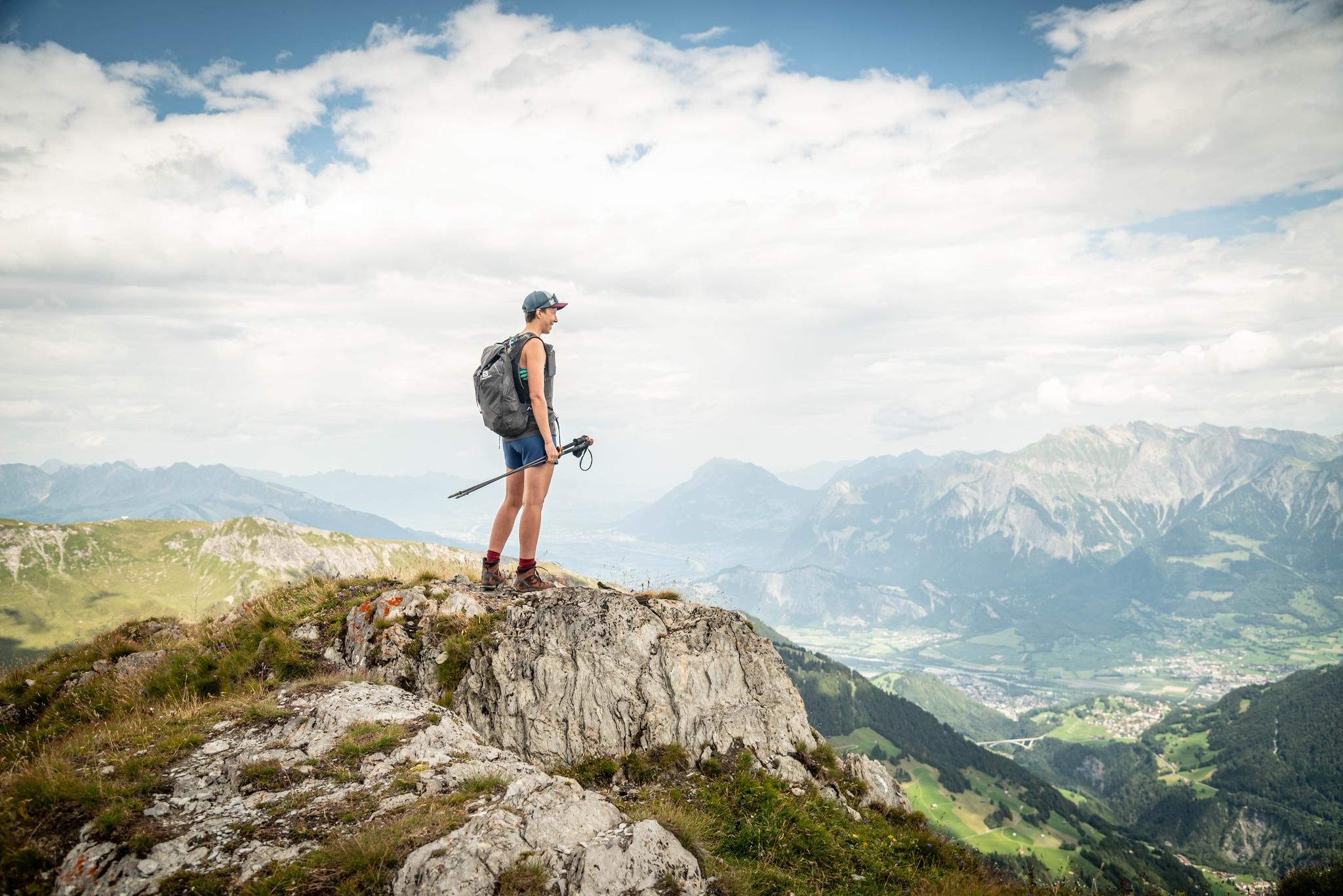
Peak bagging hikes in Heidiland
Summer in Eastern Switzerland – 10 hikes in Heidiland
Other adventures in Sarganserland


Tips from the Community

The health resorts and Grand Hotel were required to operate the village bath. For decades, this division of labor worked wonderfully, until the Second World War. Since 2003, the village bath had stood empty. The canton, however, subjected the monument to a complete renovation and restoration. The village bath of Bad Ragaz is the last of its kind in Switzerland and functions today as the Spahouse Bad Ragaz.
3
0
The canton committed to building a village bath. The village bath from the years 1866-1867 was primarily a place for hygiene. At that time, very few people had a bathroom and hot water.
2
0
The river is interesting behind the old Bad Pfäfers. In Bad Ragaz, it is simply a canal.
2
0
A few meters from the Altes Bad Pfäfers is the entrance to the mystical Tamina Gorge. Guests can experience the immense power of the water up close here. The gorge path has been carved out of the eastern rock face. A sturdy railing provides support and distance from the nearby, wild Tamina. A tunnel built in 1987 finally shows the safe way through the interior of the rock, past the small thermal water fountain (36.5°C) to the spring water grotto.
3
0
The Taminaschlucht was formed by the power of the Tamina. Over the last 15,000 years, the water of the small river has carved deep into the ground. The narrow rock gorge is about 750 m long and 70 m deep. At the Alten Bad Pfäfers, the gorge widens enough that for the last 4 km, there is room not only for the Tamina but also for a single-lane road that connects Bad Ragaz with the Alten Bad Pfäfers.
3
0

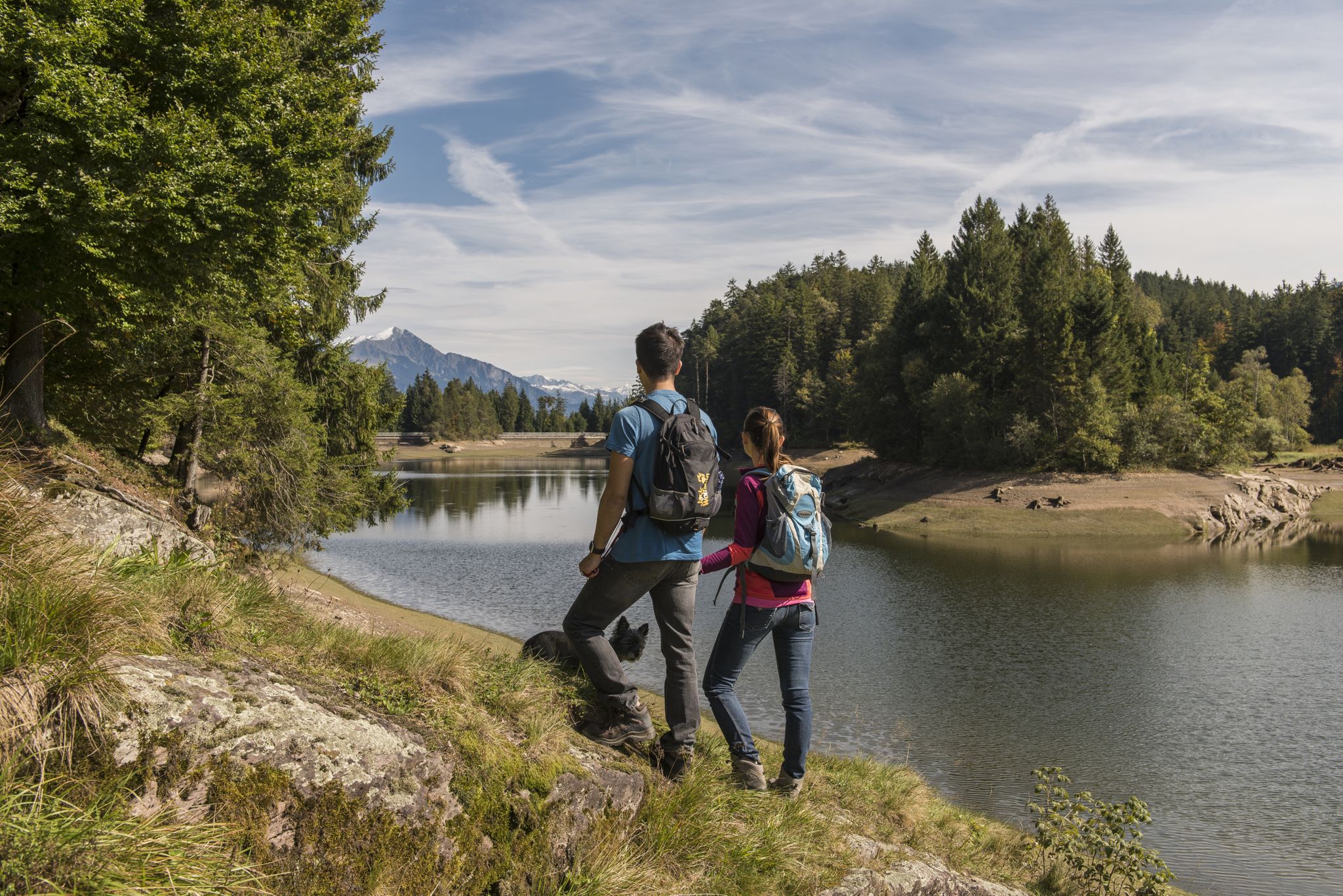
At Chapfensee there is a beautiful circular hike, described on the signs as "Vermol" approx. 1 hour. It is a simple short loop around the lake, forest, high moor, there are fire pits and viewpoints. Not suitable for strollers, roots can be slippery when wet.
1
0

When you walk back to Bad Ragaz along the Tamina, you see many small and larger waterfalls.
1
0

Frequently Asked Questions
How many easy hiking trails are available in Sarganserland?
Sarganserland offers a wide selection of easy hiking trails, with over 300 routes suitable for various fitness levels. These trails allow you to explore the region's diverse landscapes, from alpine meadows to dramatic gorges.
What kind of natural features can I expect on easy hikes in Sarganserland?
Easy hikes in Sarganserland often feature stunning natural attractions. You can explore dramatic gorges like the Tamina Gorge, discover beautiful mountain lakes such as those found along the Pizol area, or enjoy views of the fjord-like Lake Walen. The region is also home to impressive waterfalls like the Berschnerfall and the Batöni Waterfall Arena.
Are there any easy hikes that feature waterfalls?
Yes, several easy hikes in Sarganserland lead to beautiful waterfalls. For example, the Murgbach Waterfall – Sweet Chestnut Forest loop from Murg takes you through a sweet chestnut forest directly to a waterfall. You can also find trails near the impressive Berschnerfall and the Batöni Waterfall Arena.
Can I find easy circular hiking routes in Sarganserland?
Yes, Sarganserland has many easy circular hiking routes. A popular option is the Chapfenstein Viewpoint – Chapfen Lake loop from Chapfensee, which offers varied terrain and takes about 47 minutes to complete. Another is the Murgbach Waterfall – Sweet Chestnut Forest loop from Murg.
Are the easy hiking trails in Sarganserland suitable for families?
Many easy hiking trails in Sarganserland are ideal for families. They typically feature gentle gradients and manageable distances, allowing children and adults to enjoy the scenic beauty together. Routes that explore lakes or offer interesting natural features are particularly popular with families.
What about bringing dogs on easy hikes in Sarganserland?
Most easy hiking trails in Sarganserland are dog-friendly, making it a great region to explore with your canine companion. Always keep your dog on a leash, especially in nature reserves or near livestock, and ensure you carry enough water for both of you.
Are there easy hikes with good viewpoints in Sarganserland?
Absolutely. The region is known for its panoramic vistas. The Pizol panoramic high-altitude trail offers expansive views of the surrounding alpine scenery. Another great option is the Chapfenstein Viewpoint – Chapfen Lake loop from Chapfensee, which includes a dedicated viewpoint.
How accessible are the easy hiking trails by public transport?
Many easy hiking trails in Sarganserland are well-connected by public transport, particularly those starting from towns like Bad Ragaz or Murg. This allows for convenient access to trailheads without needing a car. It's advisable to check local bus or train schedules for specific route access.
Are there easy hikes that include historical sites or cultural attractions?
Yes, you can combine easy hikes with cultural exploration. The region features historical landmarks such as Sargans Castle and the Alt Wartburg ruins. The Tamina River – Wartenstein Castle Ruins loop from Bad Ragaz is an example of a route that passes by historical points of interest.
What is the typical duration for easy hikes in Sarganserland?
Easy hikes in Sarganserland typically range from under an hour to a few hours, depending on the route and your pace. For instance, the Chapfenstein Viewpoint – Chapfen Lake loop from Chapfensee can be completed in about 47 minutes, while the Pizol panoramic high-altitude trail takes around 1 hour and 3 minutes.
What do other hikers say about the easy trails in Sarganserland?
The easy trails in Sarganserland are highly regarded by the komoot community, with an average rating of 4.6 stars from over 5,000 reviews. Hikers frequently praise the well-maintained paths, the stunning alpine scenery, and the accessibility of routes that cater to all ability levels.
When is the best time of year to go on easy hikes in Sarganserland?
The best time for easy hikes in Sarganserland is generally from late spring to early autumn (May to October). During these months, the weather is milder, trails are clear of snow, and the alpine flora is in full bloom. Some lower-altitude trails may be accessible earlier or later in the season.
Are there any easy hikes near Lake Walen (Walensee)?
Yes, you can find easy hikes that offer beautiful views of Lake Walen. The View of Lake Walen (Walensee) – Chrüz Mountain Restaurant loop from Flumserberg provides scenic vistas of the lake and surrounding mountains. Another option is the Walensee (Lake Walen) – Kammenbach Waterfall loop from Unterterzen.
Can I find easy hikes that explore the Tamina Gorge?
Yes, the dramatic Tamina Gorge is accessible via easy hiking trails. The Tamina Gorge – Tamina Gorge Thermal Spring loop from Feuerwehrdepot Valens allows you to experience this geological wonder, where Europe's most abundant thermal spring emerges. You can walk through the narrow rock crevice and witness the gushing thermal water.
Are there places to eat or rest along the easy hiking trails?
Many easy hiking trails in Sarganserland pass by traditional Swiss huts or mountain restaurants, offering opportunities to rest and enjoy local dishes. For example, the View of Lake Walen (Walensee) – Chrüz Mountain Restaurant loop from Flumserberg includes a mountain restaurant. You can also find various establishments in towns like Bad Ragaz or Murg near trailheads.
Most popular routes in Sarganserland
Most popular attractions in Sarganserland

Get inspired with the komoot mobile app


Didn’t find what you were looking for?
Check out more Hikes throughout Sarganserland below and find the perfect route in your destination.
Explore more
Browse the best Hikes in other regions.
