Easy hikes and walks in the Front Range
4.7
(2527)
62,270
hikers
2,151
hikes
Easy hiking trails in the Front Range of Colorado traverse a diverse landscape, characterized by dramatic elevation changes from the Great Plains to the Southern Rocky Mountains. The region features varied ecosystems, including alpine tundra, meadowlands, and dense forests of pine and aspen. Distinctive red sandstone formations, such as the Flatirons and those in Garden of the Gods, are prominent features alongside numerous alpine lakes and river canyons.
Best easy hiking trails in the Front Range
- The most popular easy hiking route is Emerald Lake Trail, a 3.2 miles (5.2 km) trail that takes 1 hour 36 minutes to complete. This route leads to a picturesque alpine lake surrounded by towering peaks.
- Another top favourite among local hikers is Rattlesnake Gulch Loop, an easy 3.3 miles (5.4 km) path. This trail offers views of the surrounding foothills and rock formations.
- Local hikers also love the Flatirons Vista North and Prairie Vista Loop Trail, a 3.6 miles (5.9 km) trail leading through open grasslands and offering views of the iconic Flatirons, often completed in about 1 hour 36 minutes.
- Hiking in the Front Range is defined by high mountain peaks, unique red rock formations, and serene alpine lakes. The extensive network of easy hiking trails offers options for various ability levels, from short strolls to longer day hikes.
- The routes in Front Range are highly rated by the komoot community with an average score of 4.7 stars from more than 2,400 reviews. More than 60,000 hikers have used komoot to explore Front Range's varied terrain.
Last updated: June 24, 2026
4.8
(56)
1,177
hikers
5.21km
01:36
190m
200m
The Emerald Lake Trail offers a quintessential Rocky Mountain National Park experience, winding through dense forests and past three stunning alpine lakes. You'll first encounter the lily-pad-dotted Nymph Lake, then the dramatic, reflective waters of Dream Lake, before reaching the grand finale at Emerald Lake, framed by the jagged spires of Hallett Peak. The trail transitions from paved sections to rugged dirt paths with rocks and steps, providing a varied and engaging journey through breathtaking scenery.
This easy 3.2-mile (5.2 km) out-and-back hike involves 636 feet (194 metres) of elevation gain and typically takes about 1 hour and 36 minutes. The trailhead is located in the popular Bear Lake Corridor, which often requires a timed-entry permit during peak season, so secure your reservation well in advance. Parking at Bear Lake fills up extremely early, so plan to arrive at dawn or utilize the park's shuttle system to avoid disappointment.
What makes this route truly special is the incredible scenic payoff for a relatively short and accessible hike, making it a favorite for families and those new to high-altitude trekking. The vibrant turquoise of Dream Lake and the glacial-fed Emerald Lake, set against towering peaks, showcase the park's natural beauty. Keep an eye out for wildflowers in summer and consider a winter visit for a magical snowshoeing adventure, but always be prepared for rapid weather changes.
5.0
(12)
255
hikers
5.37km
01:49
280m
260m
Embark on the Rattlesnake Gulch Loop for an easy hike that promises consistent uphill climbs and rewarding vistas. This 3.3-mile (5.4 km) route gains 919 feet (280 metres) in elevation, taking you about 1 hour and 49 minutes to complete. As you ascend, you'll navigate a generally steep path with switchbacks, moving through areas of fragrant ponderosa pines and open sections. The trail offers spectacular scenery, with expansive views stretching across Eldorado Canyon and the eastern plains. Make sure to pause at the Continental Divide Overlook, where you can soak in grand panoramas of the snow-capped Front Range peaks.
Planning your visit to Rattlesnake Gulch Loop is straightforward, as the trail is easily accessible, conveniently located between Denver and Boulder. You can bring your canine companion along, as this route is dog-friendly. If you plan to hike in winter, be aware that the terrain can become icy and vertiginous in certain spots; carrying crampons and trekking poles is advisable for your safety. Always check local park conditions before heading out.
Beyond the natural beauty, the trail also offers a glimpse into the past with the historic Ruins of the Crags Hotel. This unique feature adds a layer of historical intrigue to your outdoor adventure. The route's combination of natural splendor, historical remnants, and accessibility makes it a notable option for a quick escape into the Front Range foothills.

Sign up for free
5.0
(12)
255
hikers
5.37km
01:49
280m
260m
Embark on the Rattlesnake Gulch Loop, an easy 3.3-mile (5.4 km) hike that offers a rewarding experience in Eldorado Canyon State Park. You will gain 919 feet (280 metres) over an estimated 1 hour and 49 minutes, making it a great option for a quick outing. The route winds through mixed forests and open areas, revealing the rugged beauty of the canyon with its distinctive cliffs and rock formations. As you ascend, you will reach the Continental Divide Overlook, providing grand panoramic views of distant snow-capped peaks. Keep an eye out for rock climbers scaling the canyon walls, adding a dynamic element to the scenery.
The Rattlesnake Gulch Loop is accessible year-round, but be prepared for varying conditions. During winter, the trail can become icy and dangerous, so consider bringing crampons or microspikes and trekking poles for safety. This popular route, situated within Eldorado Canyon State Park, often experiences high visitor numbers, particularly on weekends. To enjoy a more peaceful hike, plan your visit for a weekday or arrive early in the morning.
Beyond its natural beauty, the trail offers a good workout combined with historical intrigue. The area is rich in history, and the trail itself provides a unique perspective on the geological formations of Eldorado Canyon. It is a notable route within the state park, known for its accessibility and the impressive vistas it provides, making it a favorite among local hikers.
4.8
(5)
156
hikers
5.86km
01:36
90m
90m
The Flatirons Vista North and Prairie Vista Loop Trail offers a delightful journey through open prairies and vast meadows, providing exceptional views of the iconic Flatirons and the Front Range. You'll find scattered ponderosa pines and, in spring, a vibrant display of wildflowers, with beavertail cacti along the southern leg. The trail is generally wide and easy underfoot, making it a relaxing way to soak in the Boulder landscape.
This easy 3.6-mile (5.9 km) loop involves a gentle 290 feet (88 metres) of elevation gain, taking about 1 hour and 35 minutes to complete. Shade is limited, so bring sun protection and water. The trail can get muddy after rain or snow, so it's wise to check conditions beforehand. It's a popular spot for families, dog walkers, and those new to hiking.
Beyond the stunning Flatirons Vista, this area is a haven for wildlife, including prairie dogs, various raptors, and even mule deer. Golden and Bald Eagles can be spotted in winter, and bears from spring through fall. The trail's accessibility and connection to other routes like Doudy Draw make it a versatile option for a quick outing or a longer adventure.
5.0
(2)
137
hikers
6.13km
01:53
240m
180m
Embark on the Mesa Top and Cottonwood Canyon Loop, an easy hike that promises a diverse landscape. You'll navigate rocky sections along the Lithic trail before descending into Cottonwood Canyon, where towering walls frame a babbling creek. As you climb to the Mesa Top, panoramic views unfold, showcasing the distant cityscape and the majestic Front Range foothills. This rewarding route covers 3.8 miles (6.1 km) with an elevation gain of 786 feet (240 metres), typically taking around 1 hour and 53 minutes to complete.
When planning your visit, be aware that this popular trail often sees many hikers, particularly on weekends. To secure parking, it's advisable to arrive early in the day. The route is largely exposed, meaning summer afternoons can become quite warm, so consider starting your hike earlier to avoid the midday heat. Additionally, rattlesnakes are common in this region, so remain vigilant and watch your step throughout your journey.
This loop offers a unique opportunity to experience the geological formations of North Table Mountain Park. The ascent to the mesa top provides a clear perspective of the area's distinct topography, contrasting with the sheltered environment of Cottonwood Canyon. Keep an eye out for the specific Downtown Denver View highlight, which offers a memorable urban vista amidst the natural surroundings.
4.7
(3)
121
hikers
6.11km
01:34
30m
30m
The High Line Canal: Segment 1 in Waterton Canyon offers a wonderfully gentle introduction to Colorado's outdoors, perfect for a relaxed stroll. You'll follow a wide, mostly dirt road that meanders alongside the South Platte River, providing continuous canyon views and the chance to see towering cottonwood trees. This easy 3.8-mile (6.1 km) hiking route has only 88 feet (27 metres) of elevation gain and takes about 1 hour and 34 minutes, making it ideal for a leisurely walk to the historic diversion dam.
To plan your visit, head to Waterton Canyon, where you'll find parking available. Remember that this trail is not dog-friendly due to the presence of a residential bighorn sheep herd, so leave your furry friends at home. It's an out-and-back trail, offering flexibility in how far you wish to go before turning around.
This segment is significant as the very beginning of the 71-mile historic High Line Canal and also serves as the initial stretch of the much longer, 500-mile Colorado Trail. It's a prime location for wildlife viewing, particularly for spotting Rocky Mountain bighorn sheep, mule deer, and elk, making it a rewarding experience for nature enthusiasts and those interested in birds and wildlife.
5.0
(3)
101
hikers
2.66km
00:52
200m
0m
The Emerald Lake Trail offers a quintessential Rocky Mountain National Park experience, winding through pine and spruce forests to reveal three stunning alpine lakes. You'll first encounter Nymph Lake, often adorned with pond lilies, before continuing to the picturesque Dream Lake, which provides expansive views of Hallett Peak. The final destination, Emerald Lake, is nestled dramatically in Tyndall Gorge, with the towering peaks of Hallett Peak and Flattop Mountain providing a breathtaking backdrop. This easy 1.7-mile (2.7 km) hike, with 664 feet (202 metres) of elevation gain, typically takes around 52 minutes, making it a highly rewarding route for its length.
Given its popularity, especially for families and those seeking top-rated trails, planning your visit is essential. The trailhead is located at Bear Lake, and timed entry permits are frequently required for the Bear Lake Road corridor. Arriving early in the morning or utilizing the park's free shuttle service is highly recommended to secure parking and avoid the busiest times. Be aware that the trail can hold snow until late June, so check conditions if you're visiting in early summer.
What makes this trail truly stand out is its exceptional reward-to-effort ratio, allowing you to experience multiple iconic alpine lakes and dramatic mountain vistas within a relatively short distance. It's an accessible introduction to the park's high-country beauty, attracting hikers and snowshoers year-round. From vibrant wildflowers in summer to vivid fall foliage and a winter wonderland, the best time of year to hike Emerald Lake Trail depends on the experience you seek.
5.0
(3)
81
hikers
4.44km
01:16
110m
110m
Embark on an easy hike along the Red Rocks Trail to Cherry Gulch Loop, covering 2.8 miles (4.4 km) with a gentle elevation gain of 365 feet (111 metres). This route typically takes about 1 hour and 16 minutes to complete. You will experience varied terrain, winding through valleys and ascending ridges, offering views of the iconic red rock formations. The trail then descends into the scenic Cherry Gulch, where you can follow a small stream. From higher points, you can also spot Dakota Ridge in the distance. This loop combines natural beauty with a manageable challenge for most hikers.
This popular trail is located conveniently near Golden, Colorado, less than 10 minutes from the city. Due to its accessibility and proximity to Denver, parking at the trailhead can fill up quickly, especially on weekends. To secure a spot, consider arriving early in the morning. Be aware that during colder months, parts of the Cherry Gulch section can become very icy and treacherous, so plan your visit carefully. Always check conditions before heading out.
The Red Rocks Trail to Cherry Gulch Loop offers a diverse outdoor experience, showcasing the unique geology of the region. The prominent red rock formations give the trail its name and provide a striking backdrop to your hike. This trail is notable for combining these geological features with the serene environment of Cherry Gulch, making it a distinctive option near Golden. It provides a great opportunity to immerse yourself in the natural landscape close to urban areas.
5.0
(3)
70
hikers
5.59km
01:42
200m
200m
Embark on an easy 3.5 miles (5.6 km) hike through the Enchanted Mesa, Bluebell Spur, and Chautauqua Loop, offering a diverse outdoor experience. You will gain 644 feet (196 metres) in elevation over approximately 1 hour and 42 minutes, making it accessible for most hikers. The route winds through open meadows and dense pine forests, providing consistent views of Boulder's iconic Flatirons. As you traverse the Enchanted Mesa section, you will find excellent vantage points for these famous rock formations. This trail combines natural beauty with a gentle challenge.
Your journey begins conveniently at Chautauqua Park, located right within Boulder. While parking at the trailhead can be limited, you have several options for access. Consider walking in from the city center if you are nearby, or utilize the available shuttle services to reach the starting point. This makes the route highly accessible for many visitors, allowing you to focus on the hike rather than parking.
This loop is nestled within the City of Boulder Open Space and Mountain Parks, an area known for its conservation efforts and natural beauty. Along your path, you might encounter the historic Bluebell Shelter, adding a touch of local history to your outdoor adventure. The trail offers a rewarding experience for hikers of all levels, showcasing the unique landscape of ponderosa pines and luxuriant woodlands that define this region.
3.5
(2)
70
hikers
4.90km
01:21
90m
80m
Embark on an easy hike along the Palmer and Central Garden Loop Trail, a 3.0-mile (4.9 km) route that takes about 1 hour and 21 minutes to complete. You will gain 311 feet (95 metres) in elevation as you explore the heart of Garden of the Gods. Look for the iconic Three Graces and the North and South Gateway Rocks, massive sandstone formations that define the landscape.
This trail is located within the renowned Garden of the Gods Park in Colorado Springs, Colorado. Parking is readily available within the park, making it convenient to start your adventure. The route is suitable for most hikers, including families, offering an accessible way to experience the park's unique features.
Discover the distinctive geology of Garden of the Gods, where immense sandstone bluffs and towering red rock formations create a dramatic backdrop for your hike. The park's unique geological history is evident at every turn, showcasing millions of years of natural processes. This loop provides an excellent overview of the park's most famous sights, making it a highlight for any visit.
Get access to more routes and recommendations from other explorers.
Sign up for free
Already have an account?
Our route recommendations are based on thousands of hikes, rides, and runs completed by other people on komoot.
Start today with a free account
Your next adventure awaits.
Login or Signup
Popular around Front Range

Colorado Trail — The pinnacle of wild Colorado

From the mountain peaks to the prairie – Rocky Mountains and Great Plains

The pristine beauty of the US National Parks

The Colorado Trail — Ten incredible days in the Rocky Mountains

Unforgettable MTB Adventures – IMBA Epic Trails in USA and Canada
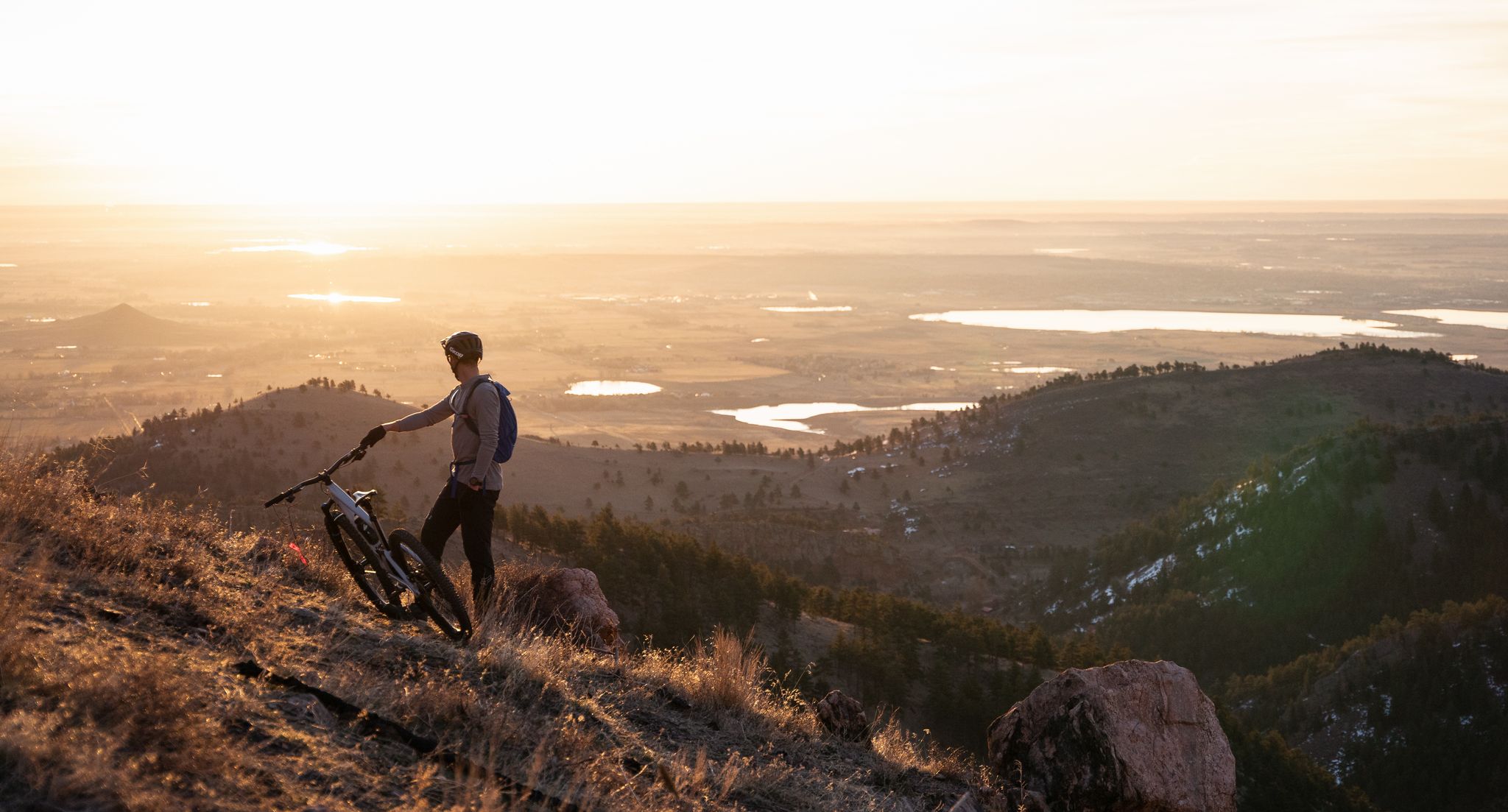
My Boulder variety pack — MTB and gravel gems in the Front Range
Other adventures in the Front Range


Tips from the Community

Rocky Mountain National Park (RMNP) in Colorado is one of the most famous and highest national parks in the USA. Longs Peak is the highest point at 4,345 meters. The landscape is characterized by mountain forests with aspens, pines, and expansive meadows, where elk are common. Dense coniferous forests and mountain lakes, as well as rugged, treeless plateaus with only low-growing plants, bighorn sheep, and marmots can also be found. A highlight is the Trail Ridge Road, the highest continuously paved mountain pass in North America, leading through the alpine tundra. The most popular hiking area, with its numerous lakes, is the Bear Lake Corridor. The park is open year-round, although many roads and trails are closed during the winter months due to snow or are only accessible with appropriate equipment. Due to its immense popularity, time-slot reservations are often required for access during peak season.
1
0
Beautiful, quiet lake with a great view.
1
0
It is located at the end of the scenic Bear Lake Road, one of the most popular areas of Rocky Mountain National Park. It lies at an elevation of approximately 2,880 meters (9,450 feet), surrounded by forest, offering impressive views of the majestic peaks of Hallett Peak. A very easy, paved Nature Trail (loop) leads around the lake in just about 0.6 miles (about 1 km).
1
0
The narrow lake is picturesquely situated at the foot of the majestic Hallett Peak and is known for its reflective water surfaces, which reflect the surrounding steep cliffs and peaks. It lies at an elevation of approximately 3,019 meters (9,905 feet).
0
0

Lake and mountains – what more could you want?
2
0
Mountain lake with many beautiful photo opportunities.
1
0


From here you have a beautiful view of the Denver skyline.
1
0
Frequently Asked Questions
How many easy hiking trails are available in the Front Range?
The Front Range offers a vast network of trails, with over 800 easy hiking routes available. In total, there are more than 2,100 hiking tours across all difficulty levels in the region.
What do other hikers say about the easy trails in the Front Range?
The easy hiking trails in the Front Range are highly rated by the komoot community, with an average score of 4.7 stars from over 2,400 reviews. More than 60,000 hikers have explored the varied terrain, often praising the scenic beauty and accessibility of the routes.
What kind of terrain can I expect on easy hikes in the Front Range?
Easy hikes in the Front Range traverse a diverse landscape. You can expect to find trails leading through lush meadowlands, dense forests of pine and aspen, and areas featuring distinctive red sandstone formations. Many routes also offer views of majestic peaks and serene alpine lakes.
When is the best time of year to go on an easy hike in the Front Range?
The Front Range offers hiking opportunities year-round. Spring brings wildflowers and milder temperatures, while summer provides warm, sunny days perfect for higher elevations. Fall showcases stunning aspen foliage, and winter offers unique snowshoeing or microspike-friendly walks, especially on lower elevation trails.
Are there easy hikes suitable for families with children?
Yes, many easy hikes in the Front Range are perfect for families. Trails like the Sprague Lake Loop offer gentle terrain and scenic views, ideal for all ages. The region's state parks and open spaces often feature well-maintained, shorter loops designed with family enjoyment in mind.
Can I bring my dog on easy hikes in the Front Range?
Many trails in the Front Range are dog-friendly, but regulations vary by park and open space. Always check specific trail rules before heading out. Generally, dogs must be on a leash, and owners are responsible for waste removal. Some areas, particularly within Rocky Mountain National Park, have stricter rules regarding pets on trails.
Are there easy circular hiking routes in the Front Range?
Absolutely. The Front Range features numerous easy loop trails. Examples include the Flatirons Vista North and Prairie Vista Loop Trail, offering iconic views, and the Rattlesnake Gulch Loop, which provides views of foothills and rock formations.
What are some easy hikes with unique natural features like red rock formations?
The Front Range is famous for its dramatic red rock formations. Consider the Palmer and Central Garden Loop Trail in Garden of the Gods, where you can walk among massive sandstone structures. The Flatirons near Boulder also offer stunning red rock scenery, visible from trails like the Flatirons Vista North and Prairie Vista Loop Trail.
Are there easy hikes near major cities like Denver or Boulder?
Yes, the Front Range offers abundant easy trails close to urban centers. Near Boulder, you can find trails like the Flatirons Vista North and Prairie Vista Loop Trail. For those near Denver, the Red Rocks Trail to Cherry Gulch Loop provides an accessible option with striking scenery.
What are the parking options for easy hiking trails in the Front Range?
Most trailheads in the Front Range, especially for popular easy hikes, offer dedicated parking lots. However, during peak seasons or weekends, these can fill up quickly. Arriving early is recommended. Some areas, like Rocky Mountain National Park, may require timed entry reservations in addition to parking fees.
Are there any interesting landmarks or attractions to see along easy hiking trails?
Many easy trails in the Front Range lead to or offer views of notable landmarks. For instance, the Emerald Lake Trail takes you to a picturesque alpine lake. You can also find trails near prominent summits like Green Mountain Peak or within Rocky Mountain National Park, offering stunning natural beauty.
Are there easy hikes that feature alpine lakes?
The Front Range is home to numerous beautiful alpine lakes, many accessible via easy trails. The Emerald Lake Trail is a prime example, leading to a stunning alpine lake surrounded by towering peaks. Another accessible option is the Sprague Lake Loop, offering serene lakeside views.
Most popular routes in the Front Range
Most popular attractions in the Front Range

Get inspired with the komoot mobile app


Explore more
Browse the best Hikes in other regions.
