The best dog-friendly hikes and walks in the Front Range
4.7
(2783)
69,304
hikers
116
hikes
Dog friendly hiking trails in the Front Range traverse a diverse landscape characterized by majestic peaks, distinctive red sandstone formations, and dense forests. The region extends from southern Wyoming into central and southern Colorado, offering a wide array of trails. Hikers can explore alpine lakes, river canyons, and rolling grasslands, providing varied terrain for all abilities.
Best dog friendly hiking trails in the Front Range
- The most popular dog friendly hiking route is Brainard Lake from Gateway Trailhead, a 7.1 miles (11.5 km) moderate trail that takes 3 hours 3 minutes to complete. This route features a gradual ascent through forested areas leading to the scenic Brainard Lake.
- Another top favourite among local hikers is Spruce Creek Trail to Mohawk Lakes Trail, a moderate 6.7 miles (10.8 km) path. This trail climbs through forests to a series of alpine lakes, offering significant elevation gain and mountain views.
- Local hikers also love the Arkansas River Canyon Rim, Cañon Vista, Overlook, and Far Out Loop, a 5.9 miles (9.5 km) trail leading through river canyons and rim overlooks, often completed in about 2 hours 39 minutes.
- Hiking in the Front Range is defined by alpine lakes, red sandstone formations, and dense coniferous forests. The extensive network of dog friendly trails offers options for various ability levels, from leisurely walks to challenging ascents.
- The routes in Front Range are highly rated by the komoot community with an average score of 4.7 stars from more than 2,400 reviews. More than 61,000 hikers have used komoot to explore Front Range's varied terrain.
Last updated: October 11, 2026
4.8
(6)
151
hikers
11.5km
03:04
110m
160m
Embark on a moderate hike to Brainard Lake from the Gateway Trailhead, a journey spanning 7.1 miles (11.5 km) with a gentle elevation gain of 368 feet (112 metres). This route typically takes around 3 hours and 3 minutes to complete, guiding you through a vibrant subalpine forest. You'll pass shimmering aspen and tall pine trees before reaching the highlight: Brainard Lake itself, a crystal-clear reservoir framed by majestic, jagged peaks. Along the way, keep an eye out for Red Rock Lake, another picturesque stop that adds to the scenic beauty of the area.
You can access the Brainard Lake Recreation Area year-round from the Gateway Trailhead, even when the main road is closed to vehicles during winter months. During the summer season, from mid-June to mid-October, a timed-entry reservation system is often required for vehicles, though accessing the Gateway Trailhead by foot or bike might not always need one. Be aware that a day-use fee may apply, particularly in winter, and remember that the area sits at over 10,000 feet, so be mindful of the altitude.
This trail offers a unique opportunity to experience the iconic Colorado subalpine landscape, providing year-round access to its natural beauty. The area is known for its diverse wildlife; you might spot moose, especially in the willow meadows that line parts of the path. The journey to Brainard Lake is a classic high-altitude experience, showcasing the stunning transition from forest to an alpine lake setting.
5.0
(2)
20
hikers
10.8km
03:37
640m
360m
If you're looking for a quintessential Colorado alpine experience, the Spruce Creek Trail to Mohawk Lakes Trail delivers a journey through diverse landscapes. You'll ascend from lush forests alongside Spruce Creek, gradually transitioning to rockier terrain as you climb towards the impressive Continental Falls. The highlight is undoubtedly the series of pristine alpine lakes, like Mayflower Lake and Lower Mohawk Lake, reflecting the surrounding peaks. This moderate 6.7-mile (10.8 km) hike involves a substantial 2114 feet (644 metres) of elevation gain, typically taking about 3 hours and 37 minutes. It's a challenging but highly rewarding day out.
Given its popularity, especially as one of the Mohawk Lakes Trail hiking routes, starting your hike early is key to finding Spruce Creek Trail parking and enjoying a quieter experience. The trail reaches over 12,000 feet, so be prepared for high altitude conditions. While dog-friendly, the terrain can be rocky and steep, so ensure your furry friend is up for the challenge.
Beyond the natural beauty, the trail offers a unique glimpse into history with remnants from the Mayflower Gold Mine, including old mining cabins like the Continental Cabin. This blend of stunning alpine scenery, cascading waterfalls, and historical artifacts makes it a standout among the best hikes near Breckenridge Colorado.

21
hikers
9.46km
02:39
190m
190m
The Arkansas River Canyon Rim, Cañon Vista, Overlook, and Far Out Loop offers a diverse and scenic hiking experience near the Royal Gorge. You'll wander through varied terrain, from sun-exposed, dusty paths along the Canyon Rim to more sheltered, wooded sections. The highlight is undoubtedly the incredible vistas of the Arkansas River Canyon, often looking down hundreds of feet to the river below, and the chance to spot the Royal Gorge Bridge from various viewpoints. This moderate 5.9-mile (9.5 km) route, with 628 feet (191 metres) of elevation gain, takes about 2 hours and 39 minutes, making it a rewarding half-day adventure.
Planning your visit is straightforward, as the trails are well-maintained and clearly signed. While generally accessible, be prepared for some notable inclines, with certain sections climbing 400 to 600 feet. If you're hiking during colder months, watch out for patches of ice and snow. This trail is a fantastic option if you're seeking a less crowded experience compared to other popular trails in the region, and it's generally considered family-friendly.
What makes this loop truly stand out is its ability to deliver unparalleled views of the Royal Gorge and its famous suspension bridge without requiring entry into the paid Royal Gorge Bridge & Park. You'll enjoy 360-degree views of the canyon and surrounding mountains, including Pike Peak and the Sangre de Cristo Mountains, from various ridges. The area is also home to interesting cacti and offers opportunities to spot wildlife like birds of prey and bighorn sheep, adding to the natural appeal of this top-rated hike near Cañon City.
5.0
(2)
16
hikers
11.6km
03:33
450m
370m
Embark on the Bergen Peak, Meadow View and Too Long Trail Loop for a rewarding hike through diverse landscapes. This moderate 7.2-mile (11.6 km) route features a significant elevation gain of 1466 feet (447 metres), typically taking around 3 hours and 32 minutes to complete. As you ascend, you will pass through open meadows where elk often graze, transitioning into dense forests of ponderosa pine and vibrant aspen groves, especially beautiful in autumn. The trail culminates at the 9,701-foot summit of Bergen Peak, offering expansive views across the valley and the majestic Front Range.
To begin your adventure, head to Elk Meadow Park, where ample parking is available at the South Trailhead. This popular multi-use trail welcomes hikers, mountain bikers, and dogs on leashes, making it a versatile option for various outdoor enthusiasts. The route is accessible year-round, as this area generally receives less snow than higher mountainous regions, allowing for winter exploration when many other trails are impassable. Consider an early start to enjoy the tranquility and avoid peak crowds, especially on weekends.
The Bergen Peak area is a notable part of the Front Range, providing a unique blend of high-altitude challenge and accessible natural beauty close to urban areas. The diverse ecosystem supports a variety of wildlife, including the elk you might spot in the meadows, and showcases distinct forest types like the towering ponderosa pines and seasonal aspen groves. Reaching the summit of Bergen Peak offers a clear vantage point to appreciate the vastness of the surrounding landscape, including distant views of Mount Evans, making it a significant local landmark for panoramic vistas.
13
hikers
13.8km
03:59
460m
160m
Embark on the Bear Creek Trail to Panorama Point Loop, a moderate hike that takes you through varied landscapes in Lair o' the Bear Park. You will cover 8.6 miles (13.8 km) and gain 1508 feet (459 metres) in elevation, typically completing the route in about 3 hours and 59 minutes. The journey begins with peaceful stretches beside Bear Creek, where the sound of flowing water accompanies you. As you climb, the path winds through dense forests with switchbacks, eventually leading to Panorama Point. From this vantage point, you can enjoy sweeping views of distant snow-capped peaks, rolling hills, and the charming town of Kittredge nestled below. Keep an eye out for the distinctive Dunafon Castle as part of the scenic panorama.
Before you set out, know that this popular trail is easily accessible, making it a convenient day trip from Denver. While generally well-maintained, be prepared for some sections that can be rocky or technical underfoot. Depending on the season, areas near Bear Creek might be muddy or icy, so bringing hiking poles can provide extra stability. Plan your visit during daylight hours to fully appreciate the diverse scenery and ensure a safe return.
This loop offers a rewarding experience for hikers seeking a good workout combined with scenic rewards. The route's diverse scenery, transitioning from tranquil creek-side paths to dense woodlands, highlights the natural beauty of the region. The expansive views from Panorama Point, showcasing snow-capped peaks and distant mountains like Mount Evans, make this trail a standout option for those exploring the area.
Get access to more routes and recommendations from other explorers.
Already have an account?
Our route recommendations are based on thousands of hikes, rides, and runs completed by other people on komoot.
Start today with a free account
Your next adventure awaits.
Popular around Front Range

Colorado Trail — The pinnacle of wild Colorado

From the mountain peaks to the prairie – Rocky Mountains and Great Plains

The pristine beauty of the US National Parks

The Colorado Trail — Ten incredible days in the Rocky Mountains

Unforgettable MTB Adventures – IMBA Epic Trails in USA and Canada
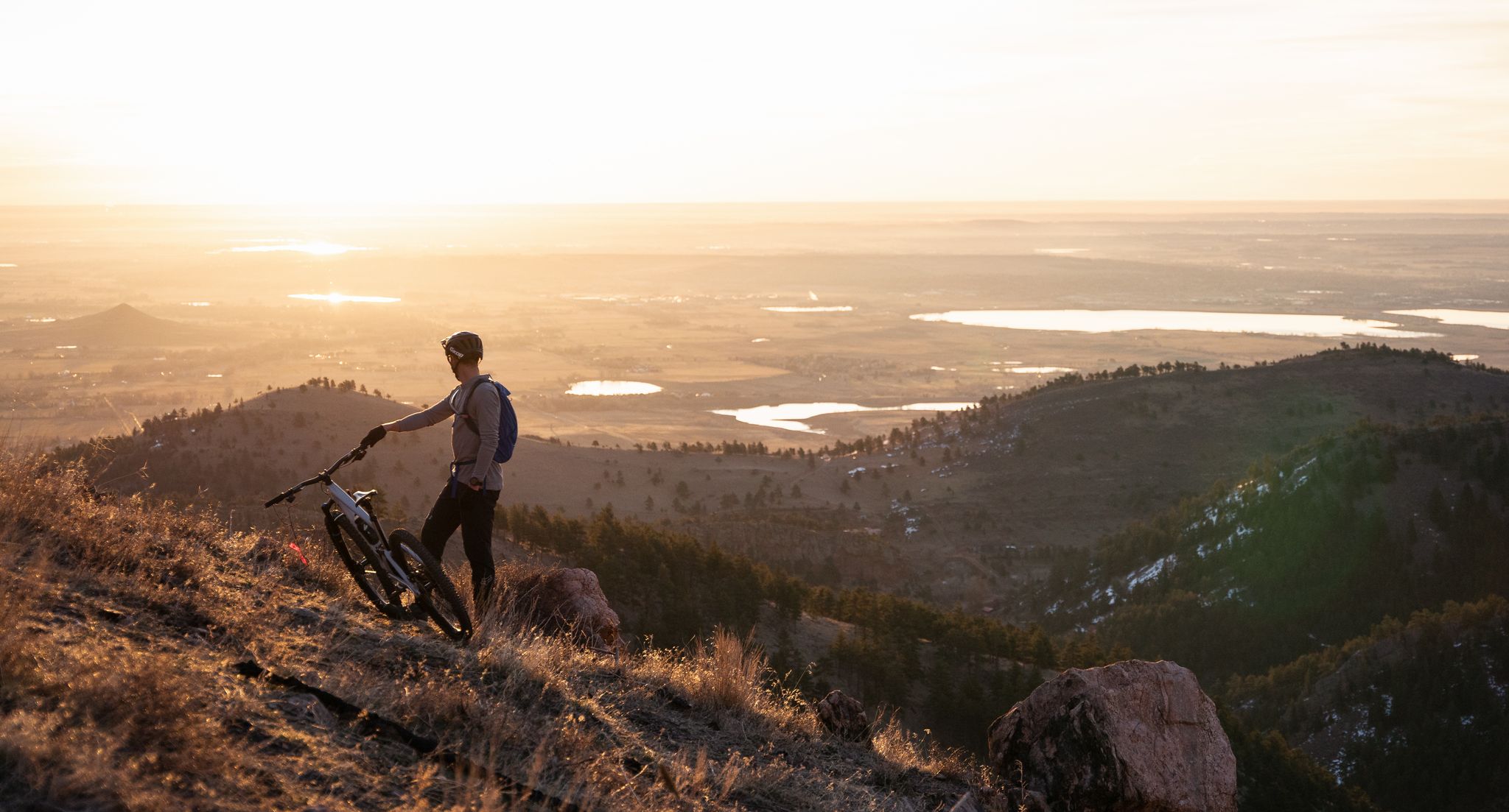
My Boulder variety pack — MTB and gravel gems in the Front Range
Other adventures in the Front Range


Tips from the Community


The chipmonks at Panorama Point are always curious and always hungry
0
0


Brainard Lake is a beautiful alpine lake in the Indian Peaks Wilderness below the Continental Divide surrounded by subalpine forest. It is in the Brainard Lake Recreation Area, which during the summer season usually requires a reservation and a fee, but if you are on your bike you do not need to pay or reserve a time slot. Because of the area's high elevation, snow typically remains until late spring, even on the paved road to the lake.
0
0

The Elk Meadow Park South Trailhead has maps and parking but no restrooms. It is at the end point of Meadow View Trail.
0
0

When you reach Pence Park on Myers Gulch Road, the view towards Kittredge and the peaks beyond is beautiful. All that climbing, suddenly worthwhile.
0
0

If you're looking for a picturesque spot off the beaten path, you should definitely check out Red Rock Lake. At an elevation of around 10,500 feet, this hidden gem is often overshadowed by Brainard Lake, but it's worth a visit. The lake offers stunning reflections and vibrant colors, making it a photographer's paradise, especially during sunrise or after sunset. Red Rock Lake is located inside the Brainard Lake Recreational Area off the Peak to Peak Highway (Hwy 72) near Ward, CO. You can visit the area throughout the summer and into October without a fee if you are on your bike.
0
0
Frequently Asked Questions
How many dog-friendly hiking trails are available in the Front Range?
The Front Range offers a vast network of dog-friendly trails, with over 115 routes specifically curated for you and your canine companion. These range from easy strolls to challenging ascents, ensuring there's something for every skill level.
What types of landscapes can I expect on dog-friendly hikes in the Front Range?
You and your dog can explore an incredible diversity of landscapes. Expect majestic peaks, distinctive red sandstone formations like the Flatirons, dense coniferous and aspen forests, and lush valleys. Many trails also feature crystalline alpine lakes and cascading waterfalls, providing varied and beautiful scenery.
Are there easy dog-friendly trails suitable for beginners or older dogs?
Yes, the Front Range has numerous easy dog-friendly trails perfect for a leisurely walk. Approximately 38 routes are classified as easy, offering gentle terrain and shorter distances. These are ideal for beginners, families, or dogs who prefer a less strenuous outing.
Can I find dog-friendly loop trails in the Front Range?
Absolutely! Loop trails are a great way to experience diverse scenery without retracing your steps. For example, the Bergen Peak, Meadow View and Too Long Trail Loop offers a moderate challenge with varied views, perfect for a longer outing with your dog.
Are there any dog-friendly trails with waterfalls in the Front Range?
While specific routes with waterfalls are not always explicitly dog-friendly, the Front Range is known for its numerous alpine lakes and cascading waterfalls, such as Alberta Falls in Rocky Mountain National Park (check park regulations for dog access). Many trails lead to areas where you can enjoy the sound and sight of water, often fed by snowmelt.
What are some notable landmarks or attractions accessible on dog-friendly trails?
Many dog-friendly trails offer access to stunning natural landmarks. While dogs may have restrictions in certain national park areas, you can explore areas near iconic features like the Flatirons in Boulder or the striking red rock formations of Garden of the Gods (check specific trail rules). For a challenging hike with your dog, consider routes that offer views of prominent peaks like Green Mountain Peak.
What do other hikers say about dog-friendly trails in the Front Range?
The komoot community highly rates the dog-friendly trails in the Front Range, with an average score of 4.7 out of 5 stars from over 2,400 ratings. Reviewers often praise the well-maintained paths, the stunning mountain vistas, and the opportunity to share these beautiful outdoor experiences with their dogs.
Are there any longer, more challenging dog-friendly hikes for experienced hikers?
Yes, for experienced hikers and their well-conditioned dogs, the Front Range offers challenging routes. For instance, the Spruce Creek Trail to Mohawk Lakes Trail is a moderate to difficult option with significant elevation gain, leading to beautiful alpine lakes. Always ensure your dog is capable of the distance and elevation.
What should I know about parking for dog-friendly trails in the Front Range?
Parking availability varies by trailhead. Many popular trailheads, especially closer to urban centers like Denver, Boulder, and Colorado Springs, have designated parking lots. It's always advisable to arrive early, especially on weekends, as spots can fill up quickly. Some areas may require a fee or permit.
Can I take my dog on trails that lead to alpine lakes, such as Brainard Lake?
Many trails lead to beautiful alpine lakes. For example, the Brainard Lake from Gateway Trailhead route is a popular option. Always check specific regulations for each area, as some wilderness areas or national parks may have restrictions on dogs, especially near sensitive ecosystems or within certain seasons. Leash laws are generally enforced.
Are there dog-friendly trails that offer expansive views of the Front Range?
Absolutely. Many trails provide breathtaking panoramic views. The Bear Creek Trail to Panorama Point Loop is a great example, offering stunning vistas. The Continental Divide, which runs through the Front Range, also features trails with expansive views, giving you a sense of being atop the continent.
What are the general rules for dogs on trails in the Front Range?
While specific rules vary by location (e.g., national forests vs. state parks vs. open spaces), general etiquette includes keeping your dog on a leash at all times, packing out all waste, and ensuring your dog is under control. Be mindful of wildlife and other hikers. Always check the specific regulations for the trail you plan to visit before heading out.
Most popular routes in the Front Range
Most popular attractions in the Front Range

Get inspired with the komoot mobile app


Explore more
Browse the best Hikes in other regions.
