Easy hikes and walks around Rotter Lake
4.4
(15644)
68,717
hikers
1,274
hikes
Hiking around Rotter Lake offers access to a landscape characterized by deep blue waters, old-growth forests, and varied terrain. The region features a distinctive natural environment, including areas with hardened volcanic matter and scenic viewpoints. These easy hiking trails provide opportunities to explore the lake's surroundings and forested paths.
Best easy hiking trails around Rotter Lake
- The most popular easy hiking route is Rotter See – View of Rotter See loop from Spich, a 1.6 miles (2.6 km) trail…
Last updated: October 4, 2026
4.4
(32)
277
hikers
2.88km
00:45
20m
20m
Easy hike. Great for any fitness level. Easily-accessible paths. Suitable for all skill levels.
4.3
(40)
279
hikers
3.49km
00:54
20m
20m
Easy hike. Great for any fitness level. Easily-accessible paths. Suitable for all skill levels.

5.0
(8)
36
hikers
6.27km
01:36
20m
20m
Easy hike. Great for any fitness level. Easily-accessible paths. Suitable for all skill levels.
4.5
(2)
32
hikers
5.20km
01:19
20m
20m
Easy hike. Great for any fitness level. Easily-accessible paths. Suitable for all skill levels.
22
hikers
7.01km
01:46
10m
10m
Easy hike. Great for any fitness level. Easily-accessible paths. Suitable for all skill levels.
Get access to more routes and recommendations from other explorers.
Already have an account?
Our route recommendations are based on thousands of hikes, rides, and runs completed by other people on komoot.
Start today with a free account
Your next adventure awaits.

Tips from the Community


Many things are explained here in Kriegsdorf through signage... We find it very interesting...
0
0

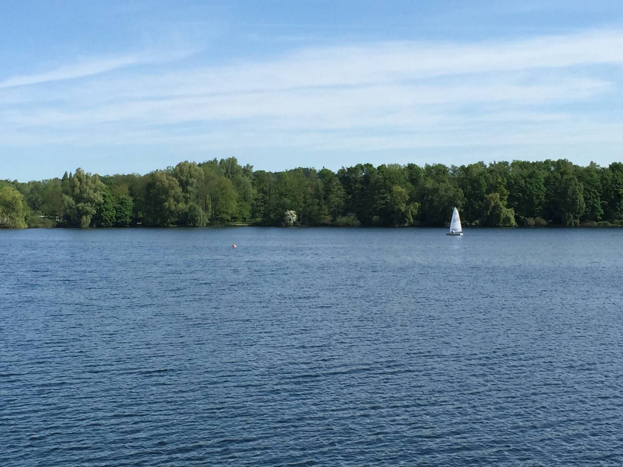
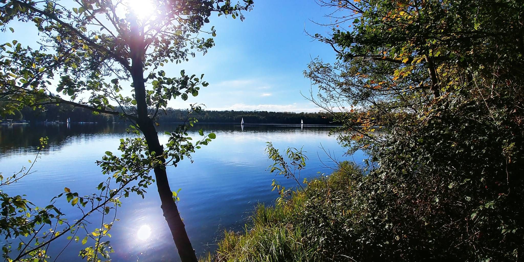
Here the "Rotter See" stretches out, named after the "Haus Rott" castle complex located 600 m to the north. Up until the late 1950s, you would have had an unobstructed view from here over exclusively agricultural land to the then much smaller settlements of Oberlar, Sieglar, and Eschmar. You could certainly also have easily observed the railway line Deutz – Troisdorf – Betzdorf – Gießen, which runs two kilometers away, with its steam locomotives. Gravel and sand extraction, similar to clay pits previously, had been carried out in this area for a long time. On old maps from 1823, one can already find such small pits scattered throughout the area. Mostly, however, they were probably created for personal use and less for commercial purposes. Kriegsdorf was already known for its clay pits and their processing, hence the nickname for its inhabitants: "die Lehmträtscher" (the clay treaders). In Kriegsdorf, industrial and large-scale extraction of gravel and sand only began at the end of the 1950s. On March 21, 1958, the landlords Heinrich and Katharina Manner from Kriegsdorf and the tenants Peter Fuchs from Kriegsdorf and the Belgian Charles de Meester applied for the opening of a sand and gravel pit in Kriegsdorf. However, it was not until June 24, 1960, that the responsible municipality of Sieglar granted permission to operate a gravel extraction facility. Kriegsdorf still belonged to the municipality of Sieglar at that time; it was only on August 1, 1969, that both districts were incorporated into the city of Troisdorf. While the dimensions of the new gravel pit lake were still quite manageable at the beginning, the final dimensions of the present-day "Rotter See" were established at the latest in 1962 with the second gravel extraction by the haulage contractor Karl Thiebes in the immediate vicinity of the first mining area to the north and further expansions to the west. Later, these initially separate areas grew together: In the mid-1970s, the deposits were exhausted, and gravel extraction was discontinued in 1978. The city of Troisdorf had already secured the ownership rights long before, with the intention of creating a local recreation area here. In parallel, plans for a new residential area, the present-day district "Rotter See", were also developed, which was newly formed on October 1, 1999, by separating it from Kriegsdorf and Sieglar. It can be seen from here on the opposite eastern shore.
0
0

Wonderful, especially in summer, because: there is shade! But even apart from that, a break is definitely worthwhile. You often meet some young-at-heart people here, so always be ready to brake!
0
0

It is reminiscent of a murder case from 1748.
0
0
A beautiful, long avenue leading from Sieglar to the Siegdamm in the nature reserve.
0
0
Highlight of the Kriegsdorf history trail
0
0
Frequently Asked Questions
What kind of terrain can I expect on easy hikes around Rotter Lake?
Easy hikes around Rotter Lake primarily feature paths through old-growth forests and along the lake's edge. You'll encounter varied terrain, including areas with hardened volcanic matter, offering a unique landscape. Trails are generally well-maintained, suitable for a relaxed walking experience.
Are there any family-friendly easy hiking trails at Rotter Lake?
Yes, many of the easy trails around Rotter Lake are suitable for families. The paths are generally gentle, offering scenic views without significant elevation changes. For instance, the View of Rottersee – Rotter Lake loop from Sieglar is a popular choice, winding along the lake's edge with plenty of opportunities to enjoy the water and forested areas.
Can I bring my dog on the easy hiking trails around Rotter Lake?
Generally, dogs are welcome on many trails around Rotter Lake, but it's always best to check specific park regulations or trail signage. When permitted, ensure your dog is on a leash and that you clean up after them to preserve the natural environment for all visitors.
What are some notable natural features or viewpoints I can see on easy hikes?
Easy hikes around Rotter Lake offer stunning views of the deep blue lake itself, often framed by old-growth forests. You might also encounter unique volcanic formations. The Rotter See – View of Rotter See loop from Spich provides continuous views of Rotter Lake and its immediate surroundings, perfect for enjoying the scenery.
Are there any circular easy hiking routes available?
Yes, Rotter Lake offers several easy circular routes. These loops are ideal for experiencing different aspects of the landscape without retracing your steps. A great option is the Meindorfer Allee loop from Sieglar, which takes you through wooded paths and open countryside.
How long do easy hikes around Rotter Lake typically take?
The duration of easy hikes varies, but many can be completed within 1 to 2 hours. For example, the Rotter Lake Beach – Kerpekreuz loop from Sieglar is approximately 3.1 miles (5 km) and can be completed in about 1 hour 15 minutes, offering a pleasant walk.
What is the best time of year for easy hikes around Rotter Lake?
The best time for easy hikes around Rotter Lake is typically from late spring through early autumn (May to October). During these months, the weather is generally mild, and the trails are clear. Wildflowers are abundant in spring and early summer, adding to the scenic beauty.
Are there any waterfalls or canyons accessible on easy trails?
While the immediate Rotter Lake area is known for its lake views and forests, the broader region, inspired by similar volcanic landscapes, can feature areas with canyons and waterfalls. For instance, trails like Godfrey Glen offer views of pinnacles and canyons, providing a different perspective from direct lake views.
How many easy hiking trails are there in the Rotter Lake area?
The Rotter Lake area boasts a significant number of easy hiking trails. There are over 900 easy routes available, providing a wide variety of options for all skill levels to explore the region's unique natural environment.
What do other hikers enjoy most about hiking in Rotter Lake?
The area is highly rated by the komoot community, with an average score of 4.5 stars from over 13,500 reviews. Hikers often praise the stunning deep blue waters, the peaceful old-growth forests, and the well-maintained paths that make for an enjoyable and accessible outdoor experience.
Is there parking available near the easy hiking trails?
Yes, parking is generally available at various access points around Rotter Lake, making it convenient to start your easy hike. Specific parking areas will depend on the trailhead you choose, so it's advisable to check the route details before you go.
Can I reach the easy hiking trails around Rotter Lake using public transport?
Depending on your starting point, some trailheads around Rotter Lake may be accessible via public transport. It's recommended to check local bus or train schedules and routes to the specific area you plan to hike, especially if you're starting from nearby towns like Sieglar or Spich.
Are there any easy trails that offer views of the Siebengebirge mountains?
Yes, some easy trails in the broader Rotter Lake area can offer distant views of the Siebengebirge mountains, adding another layer to the scenic experience. The View of the Siebengebirge – Memorial Rest Area loop from Sieglar is an example of a route that provides such vistas.
Most popular routes around Rotter Lake

Get inspired with the komoot mobile app


Explore more
Browse the best Hikes in other regions.
