The best walks and hikes around Kirchroth
4.5
(66)
390
hikers
76
hikes
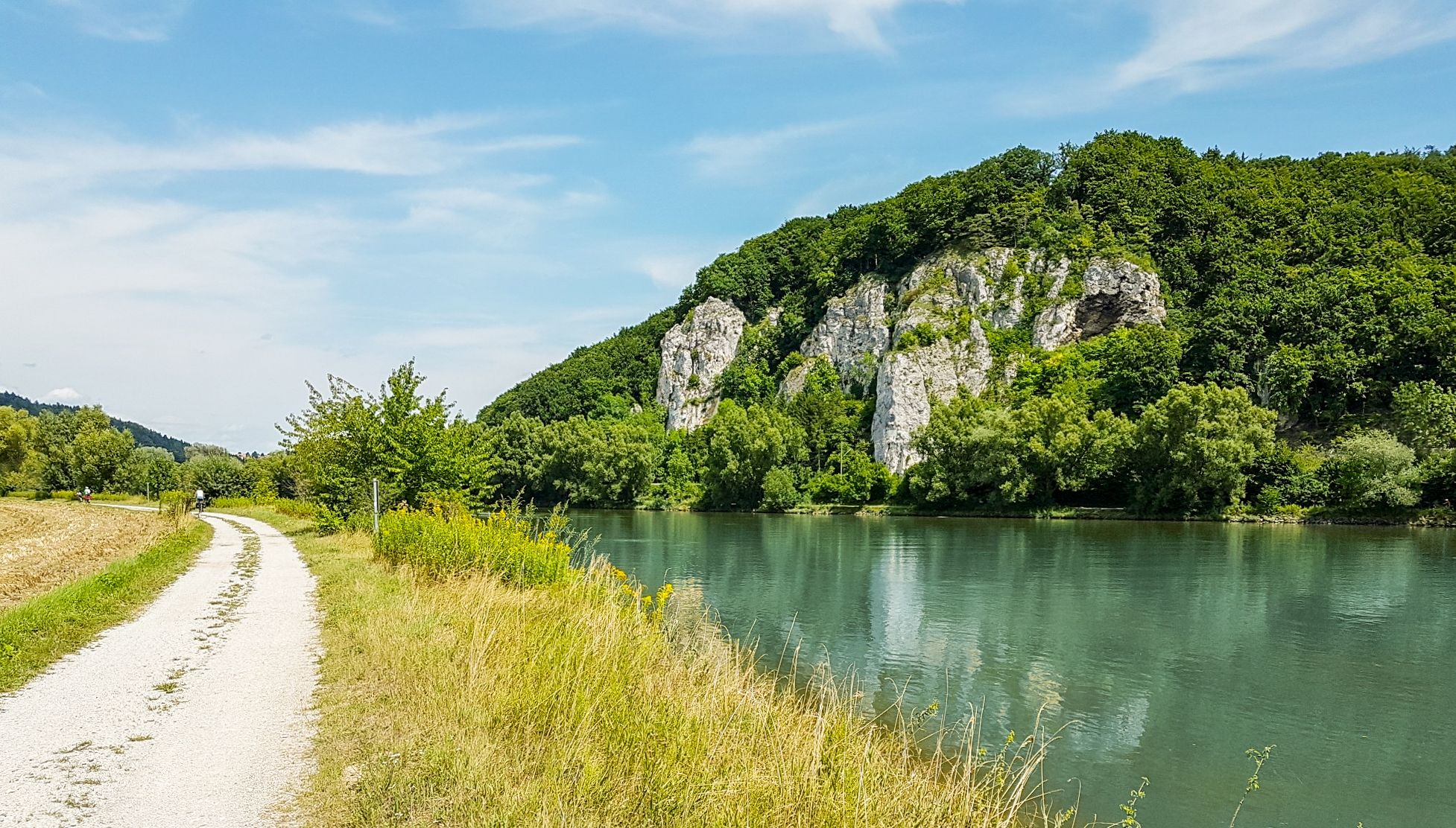
Hiking around Kirchroth offers diverse landscapes characterized by the Danube River and its floodplains, gentle hills, and dense forests. The region provides a variety of trails suitable for different preferences and fitness levels, integrating natural beauty with cultural points of interest. Hikers can explore riverine environments, forested paths, and open countryside, with elevations generally remaining moderate. This area of Bavaria is ideal for outdoor exploration, featuring well-maintained routes.
Best hiking trails around Kirchroth
- The most popular hiking route is Schiederhof Forest Inn – View of the Gäuboden loop from Obermiethnach, a 9.2 miles (14.7 km) moderate trail that takes about 4 hours 20 minutes to complete. This route offers views of the Gäuboden region and leads through varied terrain.
- Another top favourite among local hikers is Schwedenschanze loop from Obermiethnach, an easy 3.7 miles (6.0 km) path. This loop provides a pleasant walk from Obermiethnach, suitable for shorter excursions.
- Local hikers also love the Danube Floodplains – View of the Danube loop from Oberzeitldorn, a 6.0 miles (9.6 km) trail leading through the Danube floodplains, often completed in about 2 hours 25 minutes.
- Hiking around Kirchroth is defined by the Danube River, its extensive floodplains, and gentle hills covered in dense forests. The network offers options for easy, moderate, and more challenging trails.
- The routes in Kirchroth are highly rated by the komoot community with an average score of 4.4 stars from over 60 reviews. More than 300 hikers have used komoot to explore Kirchroth's varied terrain.
Last updated: July 5, 2026
5.0
(2)
15
hikers
14.8km
04:18
400m
400m
Moderate hike. Good fitness required. Easily-accessible paths. Suitable for all skill levels.
4.7
(3)
19
hikers
5.98km
01:42
130m
130m
Easy hike. Great for any fitness level. Easily-accessible paths. Suitable for all skill levels.

Sign up for free
4.7
(7)
18
hikers
9.62km
02:26
10m
10m
Moderate hike. Good fitness required. Easily-accessible paths. Suitable for all skill levels.
4.7
(3)
7
hikers
14.7km
04:12
350m
350m
Moderate hike. Good fitness required. Easily-accessible paths. Suitable for all skill levels.
5.0
(1)
6
hikers
17.0km
04:16
20m
20m
Moderate hike. Good fitness required. Easily-accessible paths. Suitable for all skill levels.
Get access to more routes and recommendations from other explorers.
Sign up for free
Already have an account?
Our route recommendations are based on thousands of hikes, rides, and runs completed by other people on komoot.
Start today with a free account
Your next adventure awaits.
Login or Signup
Other adventures around Kirchroth

Tips from the Community

The Bavarian Forest Nature Park encompasses an area north of the Danube River, extending to the border ridge with the Czech Republic. The managing organization is the Bavarian Forest Nature Park Association (Naturpark Bayerischer Wald e. V.), based in Zwiesel. Established in 1967, it is one of the oldest nature parks in Bavaria. It should not be confused with the Bavarian Forest National Park. The Bavarian Forest Nature Park lies in southeastern Germany, between the Danube River and the higher elevations of the Bavarian Forest along the Bavarian-Bohemian border. To the east, it borders the Bavarian Forest National Park, and to the north, the Upper Bavarian Forest Nature Park. On the Czech side, it borders the Šumava Landscape Conservation Area and the Šumava National Park. In the southeast, the nature park borders the Mühlviertel region of Austria. The landscape of the Bavarian Forest Nature Park begins at the Danube River at approximately 320 meters above sea level. There, remnants of floodplain forests and structurally diverse oxbow lakes can still be found. The Lallinger Winkel region is known for its orchards. On the foothills of the Bavarian Forest, the so-called Danube Mountains, the last remaining specimens of the endangered capercaillie have survived, just as they do in the higher elevations of the Inner Bavarian Forest. The Pfahl is an ecologically rich rock formation. It stretches for approximately 140 km in a southeasterly direction from the neighboring Upper Palatinate to Upper Austria. The more weather-resistant quartz rock rises several meters above the adjacent gneiss and provides habitat for numerous warmth-loving animal and plant species. In the Inner Bavarian Forest, structurally diverse mixed mountain forests and the typical high-elevation spruce forests with raised bogs and clearings—the last remnants of forest grazing—still exist. The Bavarian Forest is one of the largest contiguous forest areas in Central Europe and, together with the neighboring Bohemian Forest, is of paramount importance for nature and landscape conservation. The partially natural forests in the border region and the attractive, historically developed cultural landscape make the Bavarian Forest Nature Park an important component of the conservation concept for large landscapes. Source: https://de.wikipedia.org/wiki/Naturpark_Bayerischer_Wald
1
0
The Straubing Lock was constructed in 1993 as part of the Straubing Weir project to ensure the navigability of the Danube. The lock chamber is located at Danube kilometer 2322.02. With a chamber length of 264 meters, it has a usable length of 230 meters and a usable width of 24 meters. The lock chamber is constructed of concrete and is closed at both the upper and lower gates by a double-leaf mitre gate. Each mitre gate weighs 83 tons. The 14-meter-high and 12-meter-wide steel gates rest on a spherical bearing. The chamber is filled and emptied via bypass channels, each with two bypass gates at the upper and lower gates. The chamber fills in 20 minutes with a lock water volume of 44,000 cubic meters. A lockage takes 25 minutes. The lock has a total capacity of 73,000 cubic meters. The level of the upper edge of the lock platform is 321.5 m above sea level (NN), and the level of the lower lock sill is 308.7 m above sea level (NN). For maintenance and repair work on the gates and closures, the lock is equipped with a gantry crane with a lifting capacity of 100 tons, which can be moved along the entire length of the lock. At the associated weir of the Straubing power plant, the design impoundment level is 320 m above sea level (NN). The water level of the lower lock basin is 313.75 m above sea level (NN) at mean water level (MTF) and 312.32 m above sea level (NN) at regulated low water level (RNW). The corresponding head is 6.25 meters at MTF and 7.68 meters at MTW. An information panel at the facility states the lock head as 6.21 m. The lock is remotely controlled from the WSV control center in Regensburg.[1] This control center also remotely operates the Geisling, Regensburg, and Bad Abbach locks. Originally, the Straubing lock was operated from the lock tower on site. Immediately below the lower lock gate, the Kagers Bridge crosses the Alte Donau lock canal. The Danube's kilometer markers show a discrepancy of 7.9 kilometers at the Straubing lock. Therefore, both kilometer markers 2330 and 2322 are present at the lock basin. Source: https://de.wikipedia.org/wiki/Schleuse_Straubing
1
0
The Straubing Lock was constructed in 1993 as part of the Straubing Weir project to ensure the navigability of the Danube. The lock chamber is located at Danube kilometer 2322.02. With a chamber length of 264 meters, it has a usable length of 230 meters and a usable width of 24 meters. The lock chamber is constructed of concrete and is closed at both the upper and lower gates by a double-leaf mitre gate. Each mitre gate weighs 83 tons. The 14-meter-high and 12-meter-wide steel gates rest on a spherical bearing. The chamber is filled and emptied via bypass channels, each with two bypass gates at the upper and lower gates. The chamber fills in 20 minutes with a lock water volume of 44,000 cubic meters. A lockage takes 25 minutes. The lock has a total capacity of 73,000 cubic meters. The level of the upper edge of the lock platform is 321.5 m above sea level (NN), and the level of the lower lock sill is 308.7 m above sea level (NN). For maintenance and repair work on the gates and closures, the lock is equipped with a gantry crane with a lifting capacity of 100 tons, which can be moved along the entire length of the lock. At the associated weir of the Straubing power plant, the design impoundment level is 320 m above sea level (NN). The water level of the lower lock basin is 313.75 m above sea level (NN) at mean water level (MTF) and 312.32 m above sea level (NN) at regulated low water level (RNW). The corresponding head is 6.25 meters at MTF and 7.68 meters at MTW. An information panel at the facility states the lock head as 6.21 m. The lock is remotely controlled from the WSV control center in Regensburg.[1] This control center also remotely operates the Geisling, Regensburg, and Bad Abbach locks. Originally, the Straubing lock was operated from the lock tower on site. Immediately below the lower lock gate, the Kagers Bridge crosses the Alte Donau lock canal. The Danube's kilometer markers show a discrepancy of 7.9 kilometers at the Straubing lock. Therefore, both kilometer markers 2330 and 2322 are present at the lock basin. Source: https://de.wikipedia.org/wiki/Schleuse_Straubing
0
0


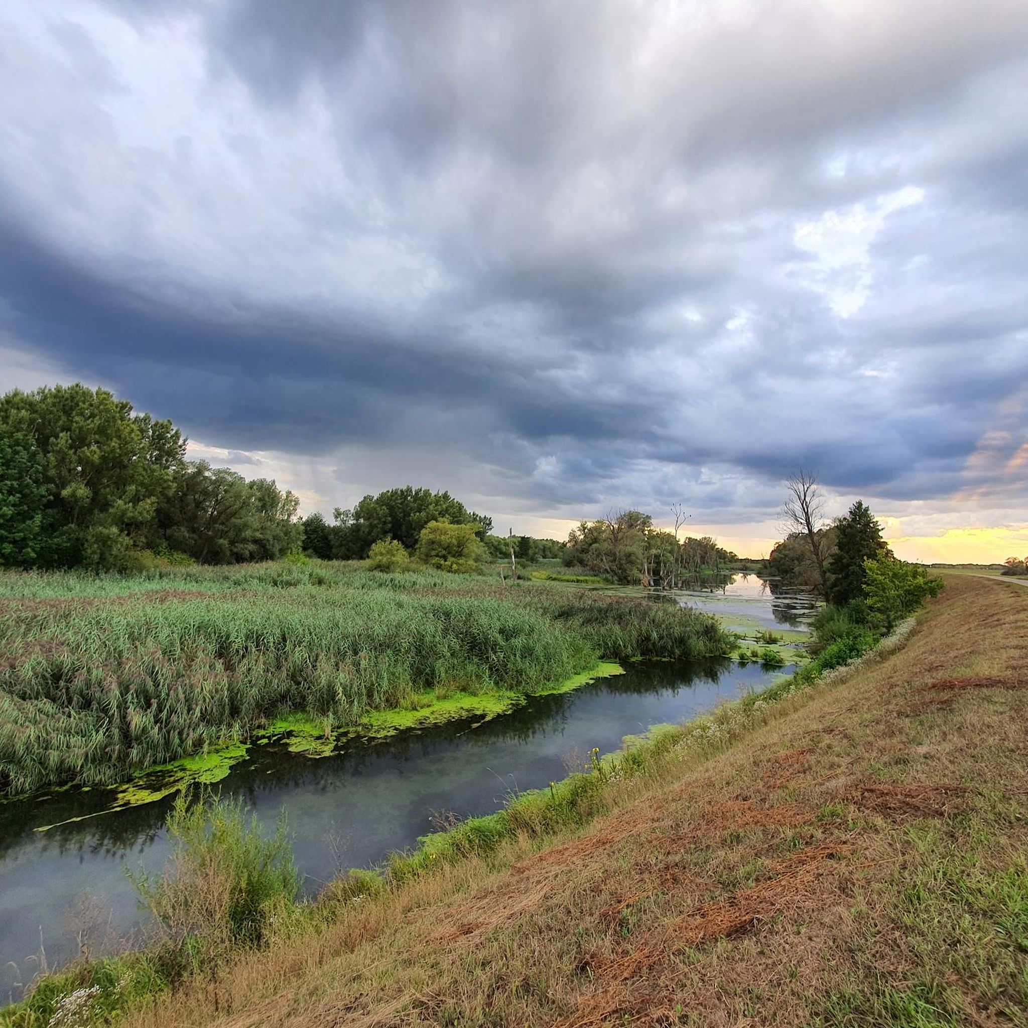
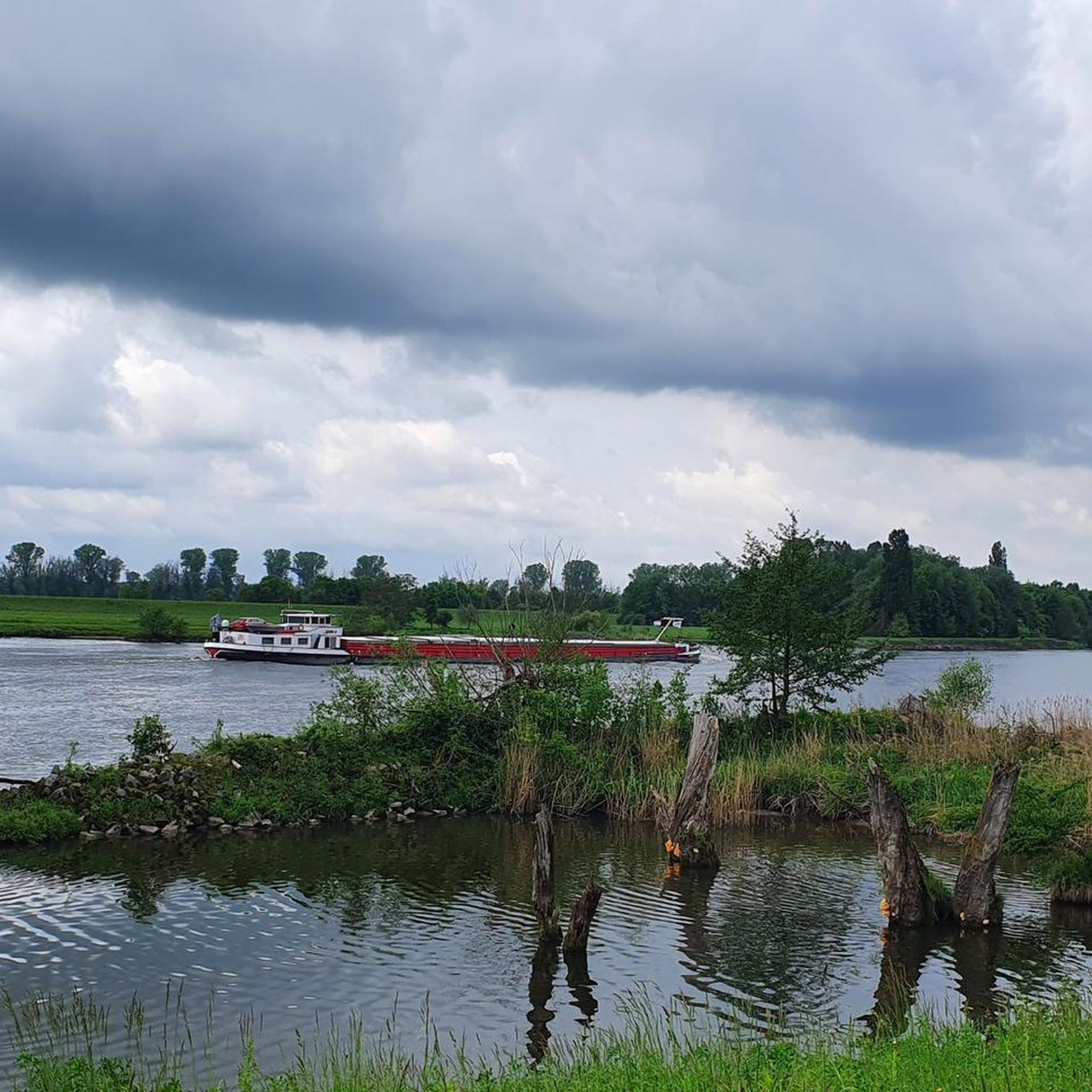
During the construction of the Straubing barrage, the six-kilometer-long Öberau Danube bend was shortened for shipping by cutting through the dam, creating an oxbow lake. It represents a representative section of the Danube floodplain landscape with its characteristic biota.
0
0

At this place there is also a geocaching hiding place
0
0

Frequently Asked Questions
How many hiking trails are available around Kirchroth?
Kirchroth offers a wide variety of hiking experiences, with over 75 trails available. These range from easy strolls to more challenging routes, ensuring there's something for every hiker.
What kind of terrain can I expect on hikes in Kirchroth?
Hiking in Kirchroth features diverse landscapes, including the scenic Danube River and its extensive floodplains, gentle rolling hills, and dense forests. You'll find a mix of riverine paths, shaded forest trails, and open countryside, with generally moderate elevations.
What is the best time of year for hiking in Kirchroth?
The best seasons for hiking in Kirchroth are typically spring and autumn. Spring brings nature to life with fresh greenery, while autumn offers pleasant temperatures and vibrant fall colors, making for particularly picturesque walks.
Are there easy hiking trails suitable for beginners or families in Kirchroth?
Yes, Kirchroth has many easy trails perfect for beginners or families. For example, the Schwedenschanze loop from Obermiethnach is an easy 3.7-mile path, and the Danube Floodplains near Stadldorf – View of the Wetlands loop from Donauauen bei Stadldorf offers a pleasant 2.4-mile walk through the floodplains.
Are there more challenging hikes in Kirchroth for experienced hikers?
While many trails are moderate, Kirchroth does offer options for those seeking a bit more challenge. There are 29 moderate and 3 difficult routes available. A good moderate option is the Schwedenschanze – Kirwald Rest Area loop from Krumbach, which covers 9.1 miles with significant elevation changes.
Can I find circular hiking routes in Kirchroth?
Yes, many of the hiking routes in Kirchroth are circular, offering convenient starting and ending points. Examples include the popular Schiederhof Forest Inn – View of the Gäuboden loop from Obermiethnach and the Danube Floodplains – View of the Danube loop from Oberzeitldorn.
What natural features or landmarks can I see while hiking in Kirchroth?
The region is rich in natural beauty. You can explore the Danube floodplains, enjoy views from the Eichelberg, or visit natural monuments like the Gmünder Au 🐸 Danube Wetland or the Rainer Forest Nature Reserve.
Are there any historical sites or cultural attractions along the trails?
Yes, Kirchroth's trails often integrate cultural and historical points of interest. Along the Donauradweg, you might discover sights like Schloss Egg (Egg Castle). Nearby, you can visit the Bogenberg ⛪ from the old Danube arm or explore castles such as Ducal Castle Straubing 🏰.
Is there parking available near the hiking trails in Kirchroth?
Parking is generally available near popular trailheads and in the villages surrounding Kirchroth. It's advisable to check specific route descriptions for detailed parking information, especially for longer tours.
How can I reach the hiking trails in Kirchroth by public transport?
While some trailheads might be accessible by local bus services, public transport options can be limited in rural areas. For broader access, consider traveling to nearby towns like Straubing or Bogen by train, and then using local buses or taxis to reach specific starting points.
Are dogs allowed on hiking trails in Kirchroth?
Generally, dogs are welcome on hiking trails in Kirchroth. However, it's always recommended to keep them on a leash, especially in nature reserves, near livestock, or in crowded areas, and to clean up after them.
What do other hikers say about the trails in Kirchroth?
The hiking trails in Kirchroth are highly regarded by the komoot community, with an average rating of 4.4 stars from over 60 reviews. Hikers often praise the varied terrain, the beautiful views of the Danube and Gäuboden region, and the well-maintained paths.
Most popular routes around Kirchroth
Most popular attractions around Kirchroth

Get inspired with the komoot mobile app


Explore more
Browse the best Hikes in other regions.
