The best running trails around Préveranges
4.4
(19)
211
runners
22
runs
Jogging around Préveranges offers a diverse landscape of rural, hilly, and wooded terrain in the Cher department of France. The region is characterized by traditional sunken paths, hedges, and streams, providing varied running surfaces. Natural features include an extensive network of trails around Lac de Sidiailles and elevated areas that offer panoramic views. This area provides a tranquil and scenic experience for outdoor enthusiasts seeking running routes in Préveranges.
Best jogging routes around Préveranges
- The most popular jogging route is…
Last updated: July 4, 2026
5.0
(2)
86
runners
12.7km
01:32
150m
150m
Moderate run. Good fitness required. Mostly paved surfaces. Suitable for all skill levels.
3.5
(4)
20
runners
8.15km
00:52
70m
70m
Moderate run. Good fitness required. Mostly paved surfaces. Suitable for all skill levels.

Sign up for free
3.3
(3)
15
runners
6.13km
00:38
50m
50m
Moderate run. Good fitness required. Mostly paved surfaces. Suitable for all skill levels.
4
runners
12.6km
01:22
150m
150m
Moderate run. Good fitness required. Mostly paved surfaces. Suitable for all skill levels.
4
runners
13.7km
01:27
180m
180m
Moderate run. Good fitness required. Mostly paved surfaces. Suitable for all skill levels.
Get access to more routes and recommendations from other explorers.
Sign up for free
Already have an account?
Our route recommendations are based on thousands of hikes, rides, and runs completed by other people on komoot.
Start today with a free account
Your next adventure awaits.
Login or Signup

Tips from the Community

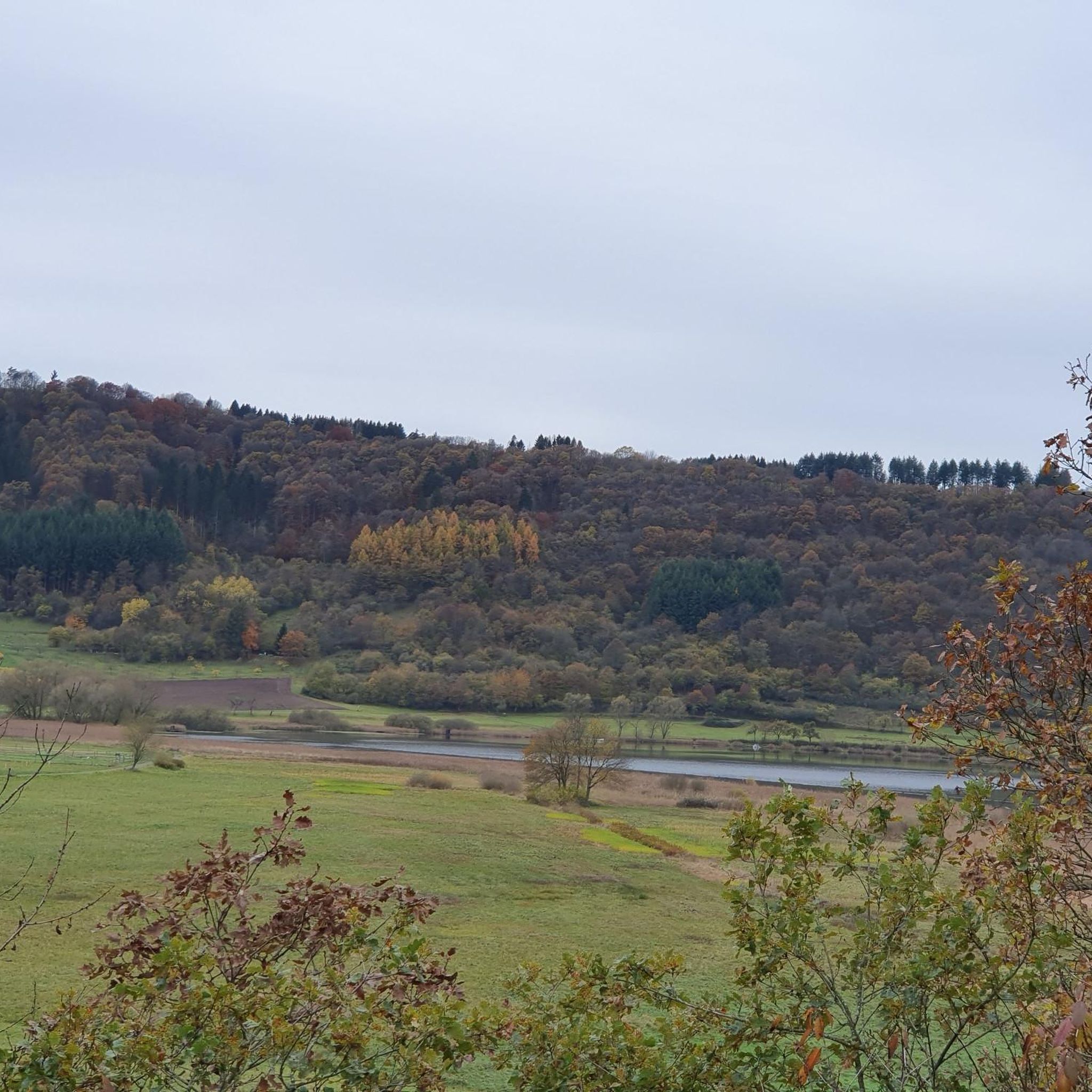
What you don't see when you walk here: this lake exists thanks to sheer stubbornness. When the La Joyante River was dammed in the 1970s, no one believed the lake would ever amount to anything. Too isolated, too wild. But nature had other plans. Today, the water is so calm that you almost forget how much effort it once took to tame this landscape.
4
0

Sidiailles Lake is an artificial lake that covers 90 hectares and supplies 35 municipalities with drinking water. It is possible to explore the paths that follow the banks of the Arnon and the Joyeuse.
2
0
Frequently Asked Questions
How many running routes are available in Préveranges?
Préveranges offers a good selection of running routes, with over 15 trails to explore. These routes cater to various fitness levels, ranging from moderate to more challenging options.
What kind of terrain can I expect on the running trails in Préveranges?
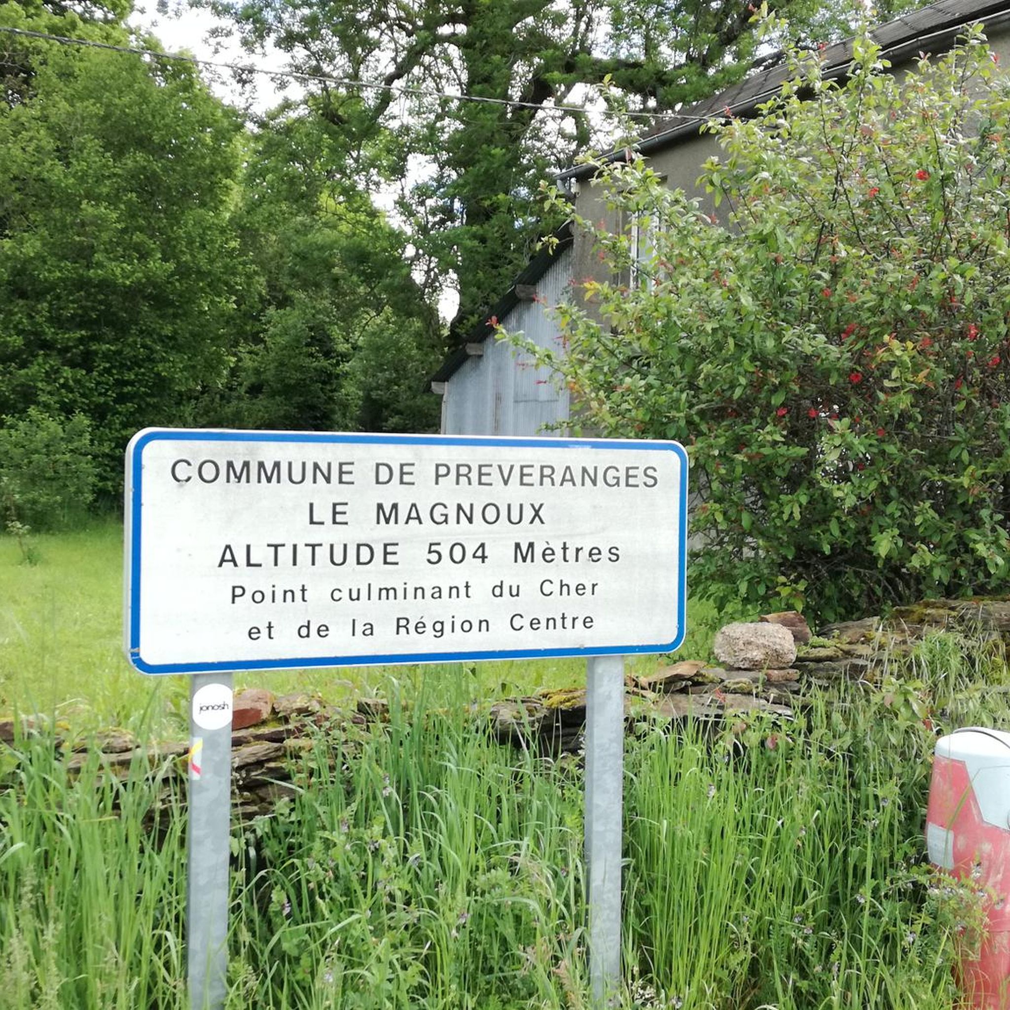
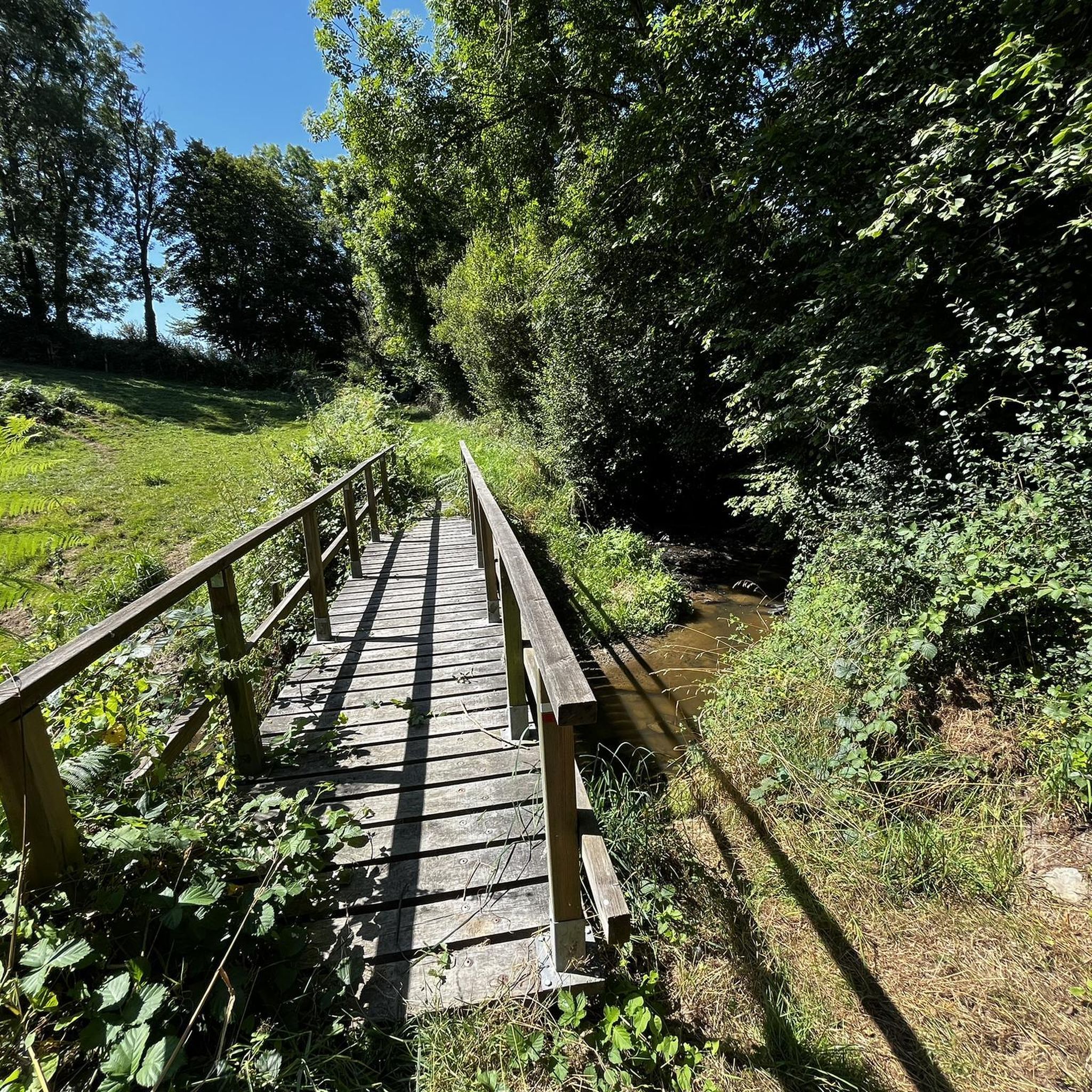
The running trails in Préveranges feature a diverse landscape, characterized by rural, hilly, and wooded terrain. You'll encounter traditional "chemins creux" (holloways), hedgerows, and paths alongside streams and rivers. Some areas, like Le Magnoux, offer more significant inclines, while others provide gentler, shaded paths through forests and around ponds.
Are there running routes suitable for beginners or those looking for an easier jog?
Yes, while many routes are moderate, there are options for those seeking an easier jog. The communal pond (L'étang communal) and Henri Auvity Park offer more accessible and gentler areas. For a moderate, shorter option, consider the Running loop from Poinsouze, which is 8.2 km with a manageable elevation gain.
Are there any longer or more challenging running routes for experienced runners?
Absolutely. For experienced runners, Préveranges offers several challenging options. The Lac de Sidiailles from Allier loop from Sidiailles is a difficult 16.1 km trail with a significant elevation gain. Another demanding route is the Boussac Castle – Boussac loop from Les Peyrots, covering 17.1 km with substantial climbs.
Can I find circular running routes in the Préveranges area?
Yes, many of the running routes in Préveranges are designed as loops, allowing you to start and finish at the same point. Examples include the Bois de Bombardon loop from Sidiailles and the Running loop from Les Peyrots, both offering scenic circular paths.
What are some scenic highlights or points of interest I might see while running?
The region is rich in natural beauty and historical sites. You can run along the banks of the Arnon and Joyeuse rivers near Lac de Sidiailles, a Natura 2000 site. Higher points like Le Magnoux offer panoramic views. You might also pass historical landmarks such as Boussac Castle, the mysterious Ruins of the Château de la Roche-Guillebaud, or the impressive Viaduct of Culan.
What is the best time of year for running in Préveranges?
The period between Easter and All Saints' Day (roughly spring through autumn) is generally ideal for running in Préveranges. During these months, the weather conditions are more favorable, allowing you to fully enjoy the natural beauty and varied landscapes of the region.
Are the running routes in Préveranges suitable for families?
While specific family-friendly routes are not explicitly detailed, the gentler paths around the communal pond and Henri Auvity Park are suitable for leisurely jogs or walks with family. For slightly older children, some of the moderate, shorter loops could also be enjoyable, depending on their fitness level.
Are dogs allowed on the running trails in Préveranges?
The rural nature of Préveranges suggests that many paths are accessible for dogs, especially the extensive network of "chemins creux" and forest trails. However, it's always advisable to keep dogs on a leash, particularly in areas with livestock or near protected natural sites like the Natura 2000 area around Lac de Sidiailles, and to respect local regulations.
What do other runners enjoy the most about jogging in Préveranges?
The running routes in Préveranges are highly rated by the komoot community, with an average score of 4.5 stars. Reviewers often praise the tranquil, rural character of the trails, the varied landscapes including rolling hills and woodlands, and the opportunity to connect with nature away from urban hustle.
Is public transport available to access the running routes in Préveranges?
Préveranges is a rural commune, and public transport options directly to specific trailheads might be limited. Access is generally easier by car, allowing you to reach various starting points for the running routes. It's recommended to check local transport schedules if relying on public transit.
Most popular attractions around Préveranges

Get inspired with the komoot mobile app


Explore more
Browse the best Running Trails & Routes in other regions.
