The best mountain hikes around Traun
17
hikers
1
hike
Mountaineering around Traun offers a diverse landscape characterized by rolling hills, dense woodlands, and elevated viewpoints. The region, part of Upper Austria, features a network of trails that traverse varied terrain, including forested paths and open ridges. These routes provide opportunities to explore the natural environment and reach scenic spots. The elevation gains are generally moderate, making the area accessible for different skill levels.
Best mountaineering routes around Traun
- The most popular mountaineering route is Prinzenweg viewing point – Kürnbergkreuz…
Last updated: September 25, 2026
8
hikers
14.2km
04:15
350m
350m
Moderate mountaineering route. Good fitness required. Mostly accessible paths. Sure-footedness required.
4
hikers
8.93km
02:51
360m
360m
Moderate mountaineering route. Good fitness required. Easily-accessible paths. Suitable for all skill levels.

2
hikers
Easy mountaineering route. Great for any fitness level. Easily-accessible paths. Suitable for all skill levels.
Our route recommendations are based on thousands of hikes, rides, and runs completed by other people on komoot.



Tips from the Community

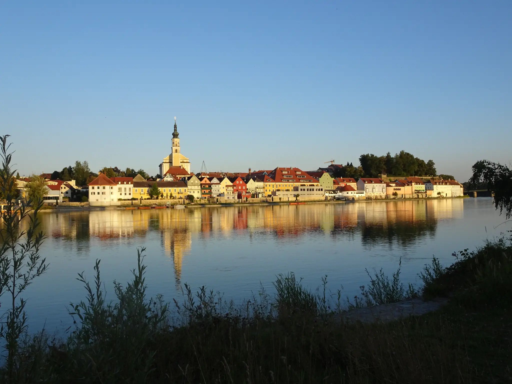
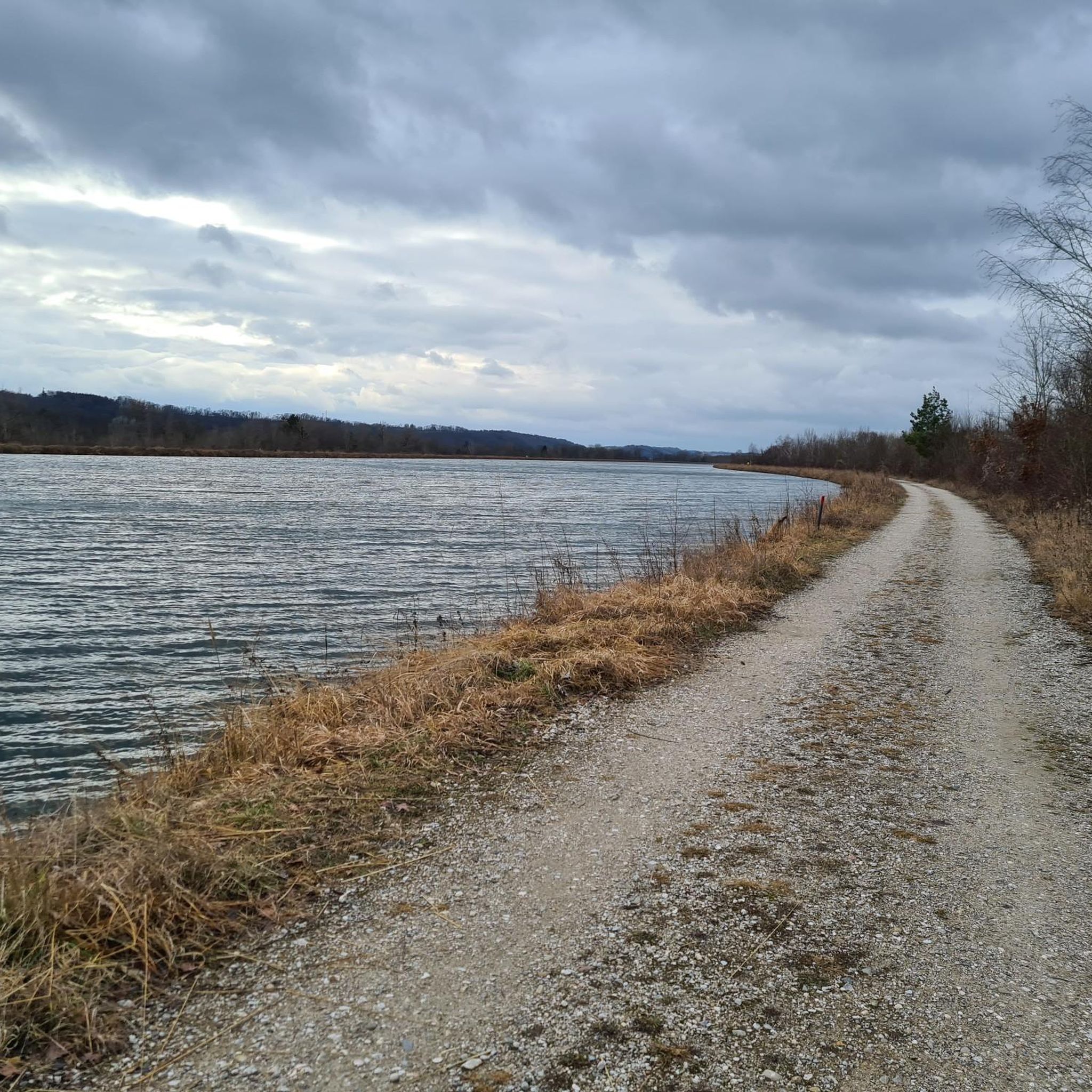
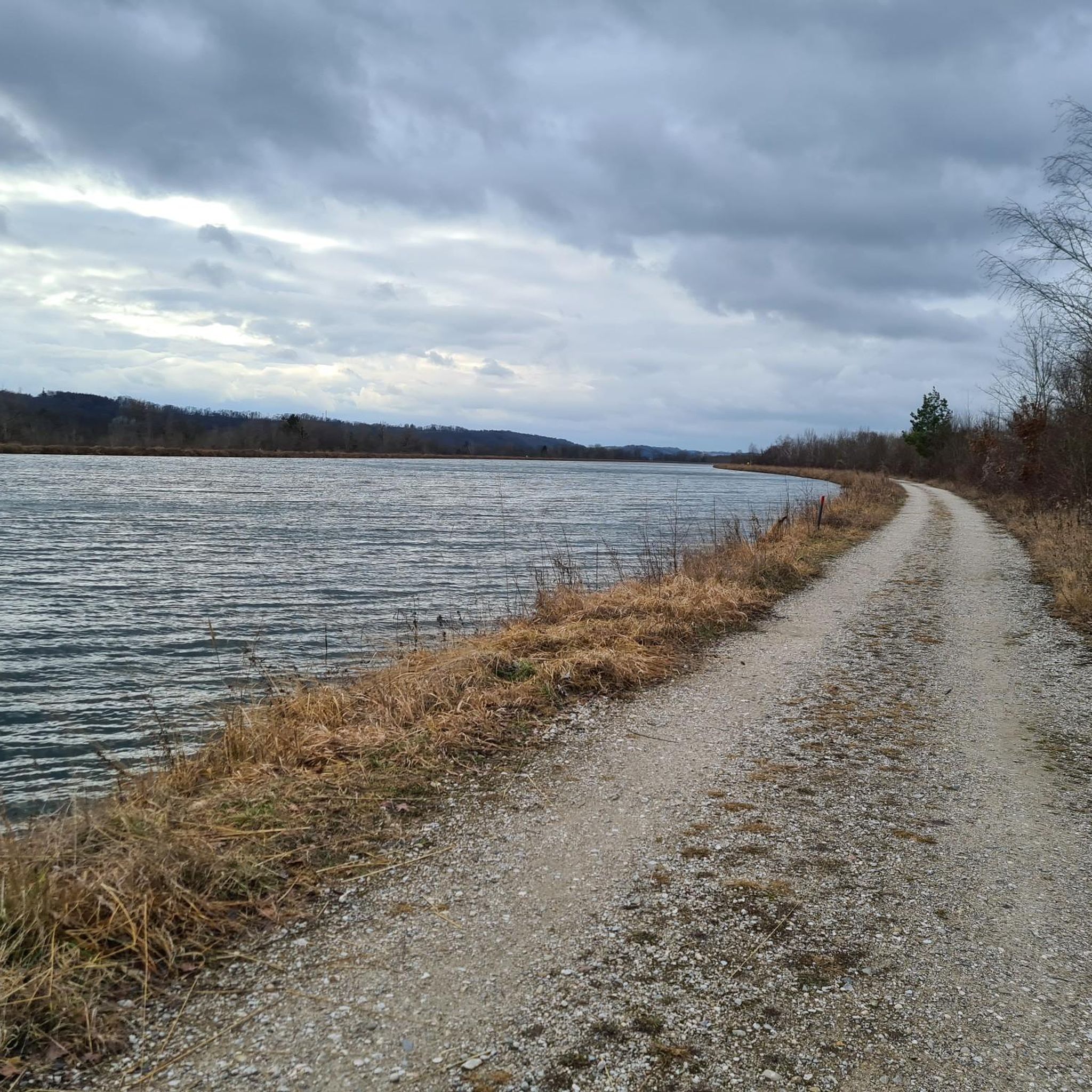
Hiking trail above the Danube
1
0

Not far from the summit cross, right next to the path, colourfully decorated....
0
0
Modern summit cross in a beautiful clearing.
0
0

The trail doesn't lead to Steyr, of course, but towards Steyregg 🤪
0
0

Warning: Komoot is once again providing completely incorrect data. Please use the operator's website if you want to mountain bike safely and legally: https://uppertrails.at/trails/pfenningberg-trails/
0
0

The pilgrim's cross is easily accessible from the Kürnbergerwald parking lot. Today the path was a bit slippery in places due to the frozen and melted snow – hiking poles are advisable at the moment. But the panorama of the winter landscape is simply magnificent! 🤩 Definitely worth a hike.
0
0

A metallic cross on a stone base.
2
0
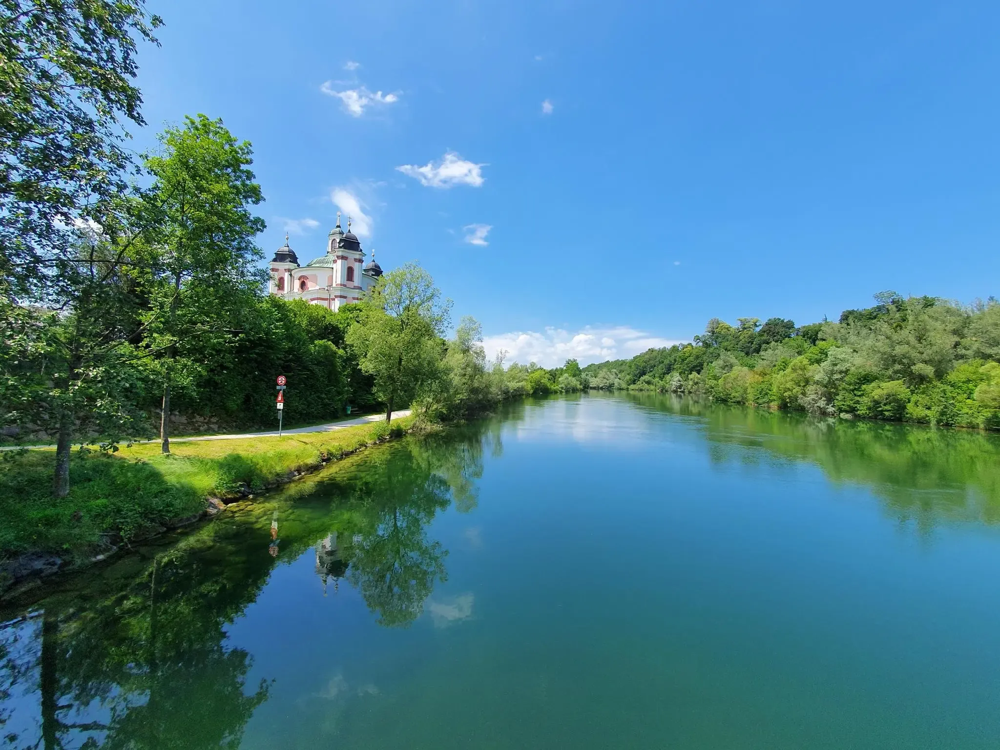
In some places, the Prinzensteig winds its way along the slopes high above the Danube, almost like an alpine rock path.
5
0
Frequently Asked Questions
What is the typical difficulty level of mountaineering routes around Traun?
The mountaineering routes around Traun are generally considered easy to moderate. For instance, the Three Beeches Cross – Pfenningberg Summit Cross loop from Pleschinger Austernbank is an easy route, while the Prinzenweg viewing point – Kürnbergkreuz loop from Leonding offers a moderate challenge.
Are there any circular mountaineering routes in the Traun area?
Yes, several routes are designed as loops, allowing you to start and end at the same point. Examples include the Prinzenweg viewing point – Kürnbergkreuz loop from Leonding and the Three Beeches Cross – Pfenningberg Summit Cross loop from Steyregg.
What kind of terrain can I expect on mountaineering routes near Traun?
The region is characterized by varied terrain, including rolling hills, dense woodlands, and open ridges. You'll find paths traversing forested areas and ascending to scenic viewpoints, offering a mix of natural environments.
What are some scenic viewpoints or landmarks I can discover along the routes?
Many routes lead to rewarding viewpoints. For example, the Prinzenweg viewing point – Kürnbergkreuz loop from Leonding includes the Kürnbergkreuz. You can also find panoramic views from the Euphemia Viewing Platform (Pöstlingberg) or visit the Pilgrims' Cross on the Kürnberg summit.
Are there shorter mountaineering routes suitable for a quick outing?
Absolutely. For a shorter experience, consider the Three Beeches Cross – Pfenningberg Summit Cross loop from Pleschinger Austernbank, which is an easy 5.2 km route typically completed in about 1 hour 40 minutes.
What is the best season for mountaineering around Traun?
The moderate elevation gains and varied terrain make the Traun region suitable for mountaineering from spring through autumn. The dense woodlands offer shade in warmer months, and the rolling hills are beautiful with autumn colors. Winter mountaineering is possible, but conditions can vary, so always check local weather forecasts.
Are there any family-friendly mountaineering options in Traun?
Yes, the region offers routes with moderate difficulty and shorter durations that can be suitable for families. The Three Beeches Cross – Pfenningberg Summit Cross loop from Pleschinger Austernbank is an easy option that might be a good fit for families.
What do other mountaineers enjoy most about the routes in Traun?
Mountaineers often appreciate the diverse landscape, which combines rolling hills and dense woodlands with rewarding viewpoints. The accessibility of routes for various skill levels and the well-maintained paths are frequently highlighted.
Are there any interesting attractions or places to explore near the mountaineering routes?
Beyond the trails, you can explore nearby attractions such as the Trinity Column on the Main Square, Linz, or enjoy the Danube Cycle Path. For unique views, visit the View of Linz from the Euphemia Viewing Platform (Pöstlingberg).
How long do the moderate mountaineering routes typically take to complete?
Moderate routes vary in length and duration. For example, the Prinzenweg viewing point – Kürnbergkreuz loop from Leonding is an 8.8-mile (14.2 km) trail that takes approximately 4 hours 15 minutes, while the Three Beeches Cross – Pfenningberg Summit Cross loop from Steyregg, at 5.5 miles (8.9 km), typically takes around 2 hours 50 minutes.
Are there any routes that offer significant elevation gain for a more challenging experience?
While most routes are moderate, some offer notable elevation gains. The Three Beeches Cross – Pfenningberg Summit Cross loop from Steyregg, for instance, involves an ascent of over 360 meters, providing a good workout and panoramic views from the summit cross.
Most popular routes around Traun
Most popular attractions around Traun

Get inspired with the komoot mobile app


Explore more
Browse the best Mountain Hikes & Routes in other regions.
