The best waterfall hikes and walks in Unterklettgau
4.5
(5585)
27,735
hikers
10
hikes
Waterfall hiking trails in Unterklettgau traverse a diverse landscape in the northernmost tip of Switzerland, bordering Germany. The region features the Randen hill chain, characterized by green hills and extensive forests, alongside the Klettgau Valley and the Rhine River. Hikers can explore a network of paths leading through forests and gorges, offering varied terrain. The area's natural features provide a backdrop for trails that range from gentle walks to more challenging excursions.
Best waterfall hiking trails in Unterklettgau
- The most…
Last updated: October 4, 2026
4.7
(182)
543
hikers
10.8km
03:09
190m
190m
Moderate hike. Good fitness required. Mostly accessible paths. Sure-footedness required.
4.7
(35)
82
hikers
10.2km
03:02
190m
190m
Moderate hike. Good fitness required. Mostly accessible paths. Sure-footedness required.

4.3
(57)
276
hikers
25.1km
07:01
380m
380m
Hard hike. Very good fitness required. Mostly accessible paths. Sure-footedness required.
4.9
(8)
34
hikers
23.4km
06:52
510m
510m
Hard hike. Very good fitness required. Mostly accessible paths. Sure-footedness required.
4.0
(5)
21
hikers
16.8km
04:45
370m
370m
Moderate hike. Good fitness required. Easily-accessible paths. Suitable for all skill levels.
Get access to more routes and recommendations from other explorers.
Already have an account?
Our route recommendations are based on thousands of hikes, rides, and runs completed by other people on komoot.
Start today with a free account
Your next adventure awaits.
Popular around Unterklettgau
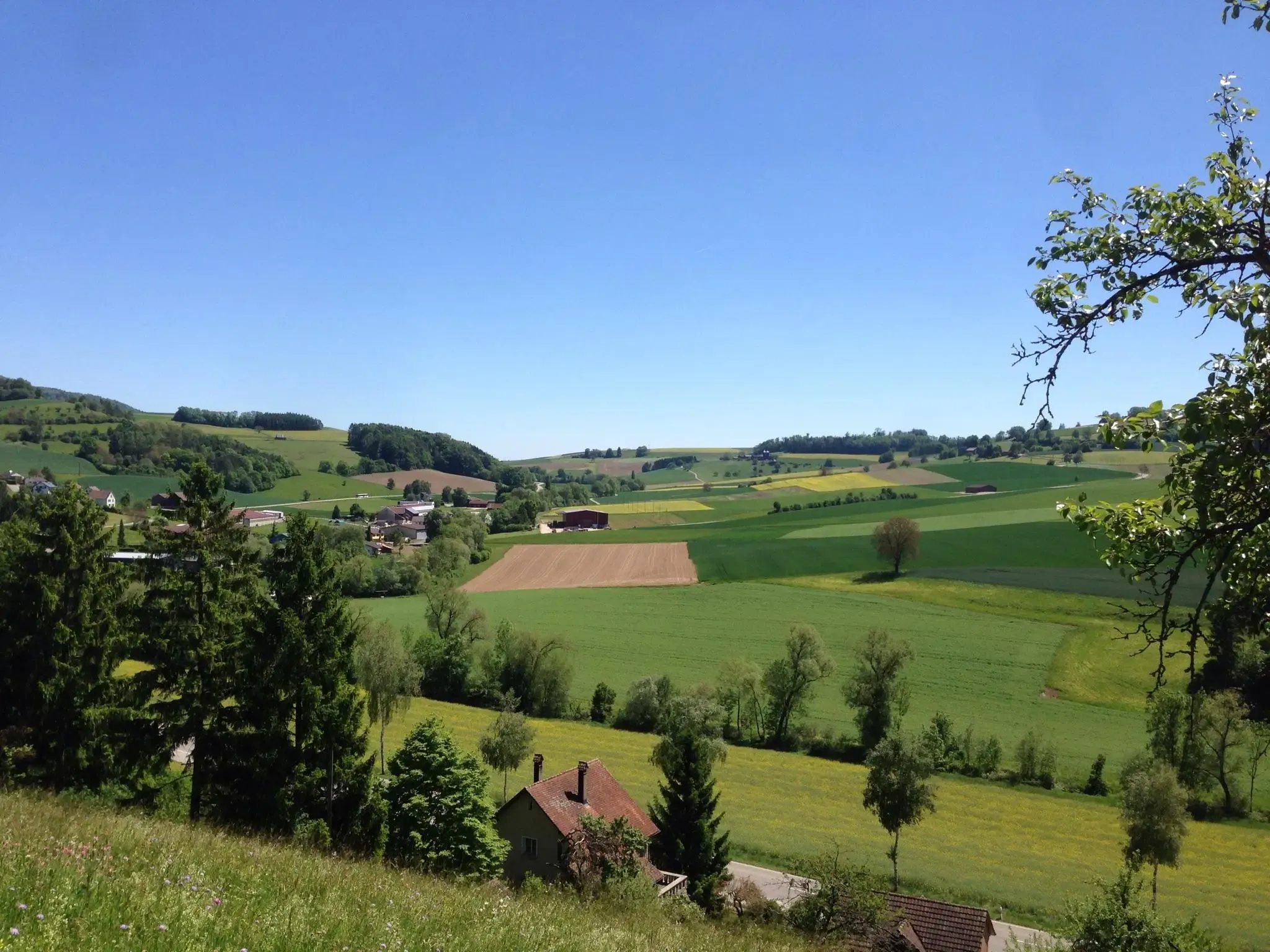
Klettgau-Rhein-Weg – hiking at the feet of the Alps

Lake and Alps Adventure – explore 100 dreamy places in our cycling region!
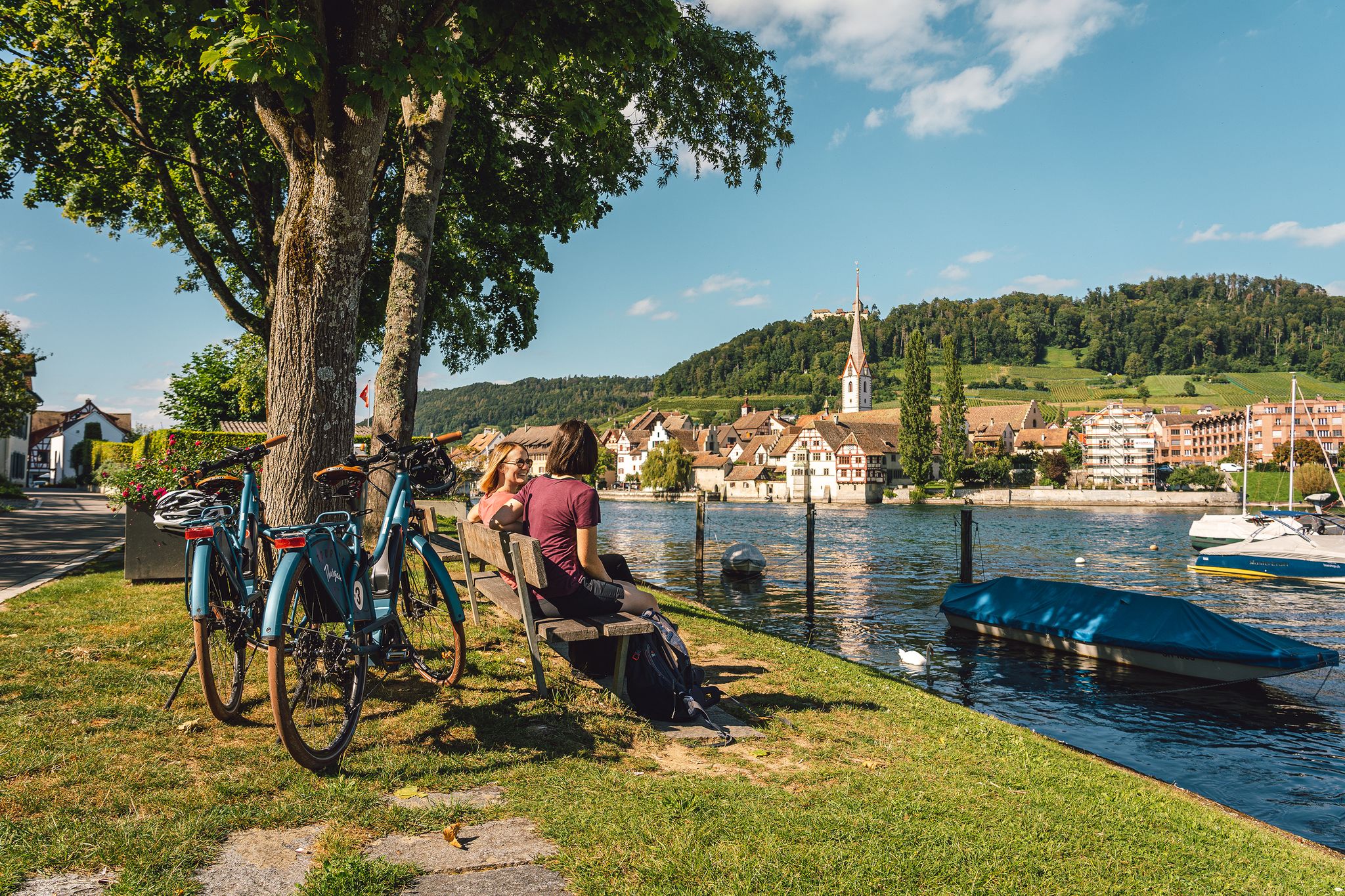
Rhine, vines, Randen – the top 5 cycle routes in Schaffhauserland
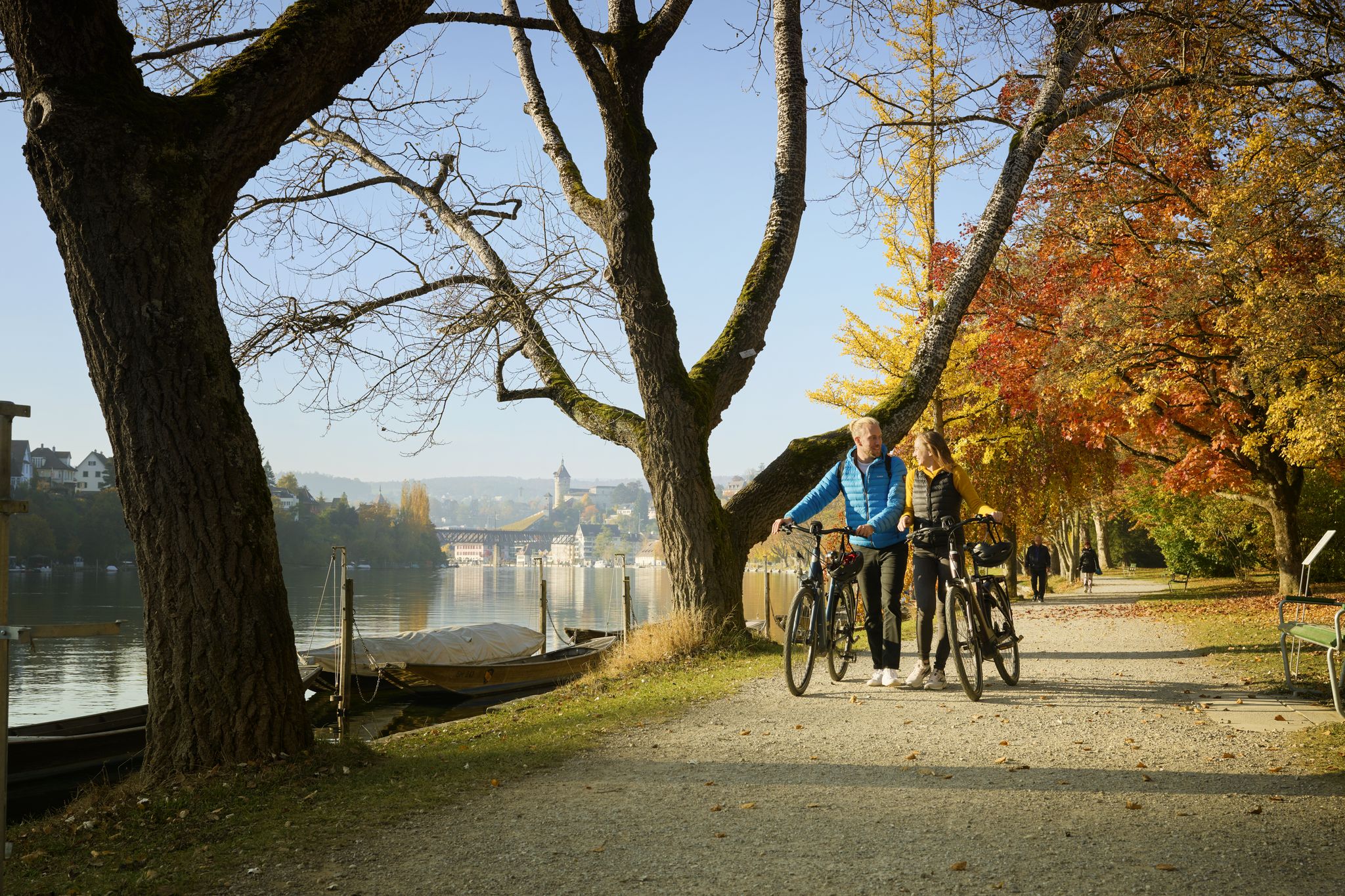
Rhine, Vines and Randen – autumn cycling routes in Schaffhauserland
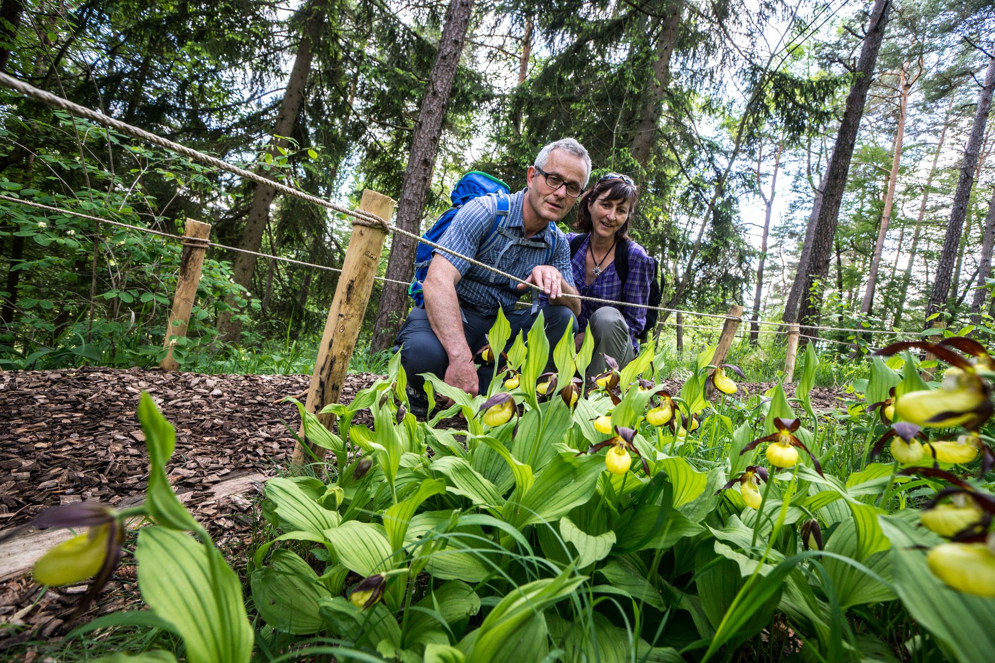
Wandern zwischen Rhein und Reben – Frühling im Schaffhauserland
Other adventures in Unterklettgau


Tips from the Community

Unfortunately, today it was only a small hidden trickle
0
0

This original information point can be found at the hiking rest stop above Fützen
0
0
you just have to stop to enjoy the view
0
0
A beautiful spot, ideal for bird watching,
2
0

Unfortunately, the trail is very muddy in places and therefore unpleasant to ride.
1
0
A large barbecue area with several tables and benches. The Sculpture Trail passes by here. The narrow path of the Schaffhausen Border Trail also begins here.
0
0


Magnificent view of the lower greenery and high up on the rock
5
0
Frequently Asked Questions
How many waterfall hiking trails are available in Unterklettgau?
Unterklettgau offers 14 dedicated waterfall hiking trails, providing a diverse range of options for exploring the region's natural beauty. These trails are highly rated by the komoot community, with an average score of 4.6 stars.
What is the general difficulty level of waterfall hikes in Unterklettgau?
The waterfall hikes in Unterklettgau cater to various fitness levels. There is 1 easy route, 9 moderate routes, and 4 difficult routes, ensuring options for both casual walkers and experienced trekkers.
Are there any long-distance or challenging waterfall hikes in the area?
Yes, for those seeking a more challenging experience, the region offers longer routes. For example, the Wutach Riverside Rest Area – Wutachflühen Gorge loop from Stühlingen is a difficult 25.1 km trail that typically takes around 7 hours to complete. Another demanding option is the Wutachflühen Gorge – Wutachflühen Viewpoint loop from Grimmelshofen, covering 23.5 km with significant elevation changes.
What kind of terrain can I expect on waterfall hikes in Unterklettgau?
You can expect a varied landscape, including the Randen hill chain with its green hills and extensive forests, as well as paths leading through the Klettgau Valley, Rhine Valley, and picturesque gorges. Some areas even feature almost Mediterranean forests, offering a diverse natural experience.
What do other hikers enjoy most about the waterfall trails in Unterklettgau?
The trails in Unterklettgau are highly rated by the komoot community, with an average score of 4.6 stars from over 400 reviews. Hikers often praise the scenic beauty of the Wutachflühen Gorge, the well-maintained paths, and the diverse natural surroundings that make each hike unique.
Are there any circular routes among the waterfall hikes?
Yes, many of the waterfall hikes in Unterklettgau are designed as circular routes, allowing you to start and end at the same point. An example is the moderate Wutach Riverside Rest Area – Wutachflühen Gorge loop from Grimmelshofen, which covers 10.8 km.
What are some notable landmarks or attractions near the waterfall hiking trails?
Beyond the waterfalls themselves, you can explore several interesting sites. The Radegg Castle Ruins are a notable historical stop. You might also encounter the St. Moritz Hill Church in Hallau or the unique Flühhalde — Neolithic Cave and Picnic Area, which offers great views.
Are there any specific trails that offer great viewpoints?
Absolutely. The Randen hill chain features two high observation towers that provide sweeping views, even stretching to the Swiss Alps from the Randenhaus. Additionally, elevated villages like Büttenhardt and Lohn offer superb panoramic vistas of the Klettgau and Rhine Valleys. The Wutachflühen Viewpoint – Wutachflühen Gorge loop from Grimmelshofen is specifically designed to highlight scenic overlooks.
Can I find places to rest or picnic along the waterfall routes?
Yes, the region is equipped with several spots for resting and picnicking. The Flühhalde — Neolithic Cave and Picnic Area is one such location with benches and barbecue facilities. The Hexenbrünnele picnic site along the Zollstrasse route also offers a pleasant spot to relax.
What is the best time of year to visit Unterklettgau for waterfall hikes?
Unterklettgau's landscapes transform with each season, making it enjoyable year-round. Spring and autumn offer particularly vibrant scenery with blooming wildflowers or colorful foliage. The waterfalls are often at their most impressive during spring after snowmelt or following periods of rain.
Are there any routes that combine waterfall views with historical sites?
Yes, some routes blend natural beauty with historical interest. For instance, the Rossberghof Inn – Radegg Castle Ruins loop from Jestetten is a moderate 16.7 km hike that includes a visit to the historic Radegg Castle Ruins, offering a mix of scenic and cultural exploration.
What kind of natural features can I observe besides waterfalls?
Beyond the waterfalls, the region is rich in biodiversity. Hikers can spot rare orchid species and local wild plants like wild garlic, especially along paths such as the Klettgau-Rhein-Weg. The diverse forests and gorges also provide a habitat for various wildlife.
Most popular routes in Unterklettgau
Most popular attractions in Unterklettgau

Get inspired with the komoot mobile app


Explore more
Browse the best Hikes in other regions.
