The best hikes from bus stations in Unterklettgau
4.5
(5585)
27,735
hikers
26
hikes
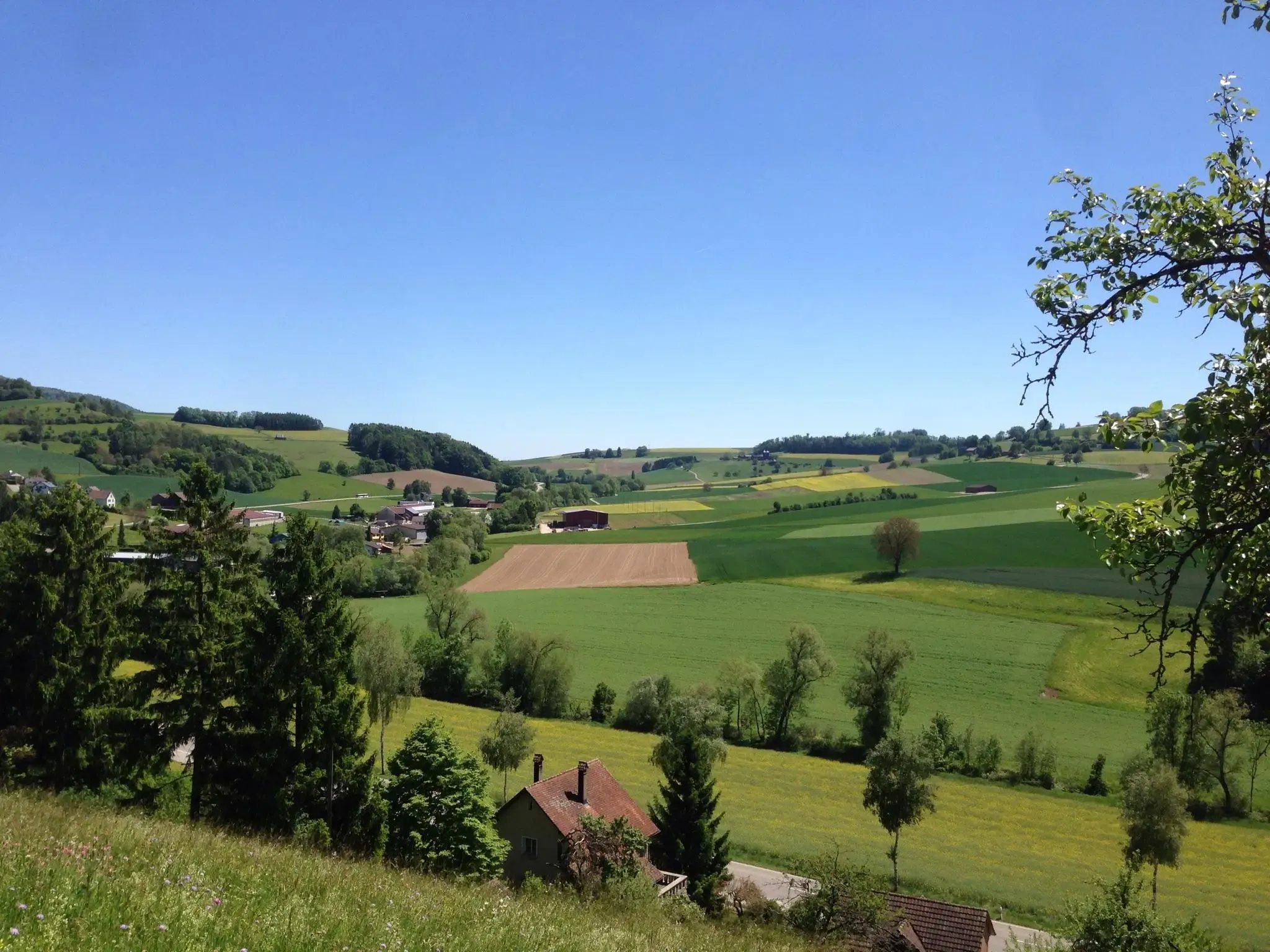
Bus station hiking trails in Unterklettgau provide access to a diverse landscape in the canton of Schaffhausen, Switzerland. The region is characterized by expansive vineyards, dense forests, and the Randen hill chain, offering elevated viewpoints. The Klettgau plain is recognized as a biodiversity hotspot, featuring a network of wildflower strips and meadows. This varied terrain provides a range of natural features for hikers to explore.
Best bus station hiking trails in Unterklettgau
- The most popular bus station hiking route is…
Last updated: October 1, 2026
5.0
(1)
10
hikers
5.20km
01:24
60m
60m
Easy hike. Great for any fitness level. Easily-accessible paths. Suitable for all skill levels.
4.9
(14)
70
hikers
7.25km
02:12
230m
230m
Moderate hike. Good fitness required. Easily-accessible paths. Suitable for all skill levels.

4.8
(5)
33
hikers
14.7km
04:03
250m
250m
Moderate hike. Good fitness required. Easily-accessible paths. Suitable for all skill levels.
4.7
(3)
14
hikers
4.83km
01:23
110m
110m
Easy hike. Great for any fitness level. Easily-accessible paths. Suitable for all skill levels.
5.0
(3)
12
hikers
8.61km
02:21
130m
130m
Moderate hike. Good fitness required. Easily-accessible paths. Suitable for all skill levels.
Get access to more routes and recommendations from other explorers.
Already have an account?
Our route recommendations are based on thousands of hikes, rides, and runs completed by other people on komoot.
Start today with a free account
Your next adventure awaits.
Popular around Unterklettgau
Klettgau-Rhein-Weg – hiking at the feet of the Alps

Lake and Alps Adventure – explore 100 dreamy places in our cycling region!
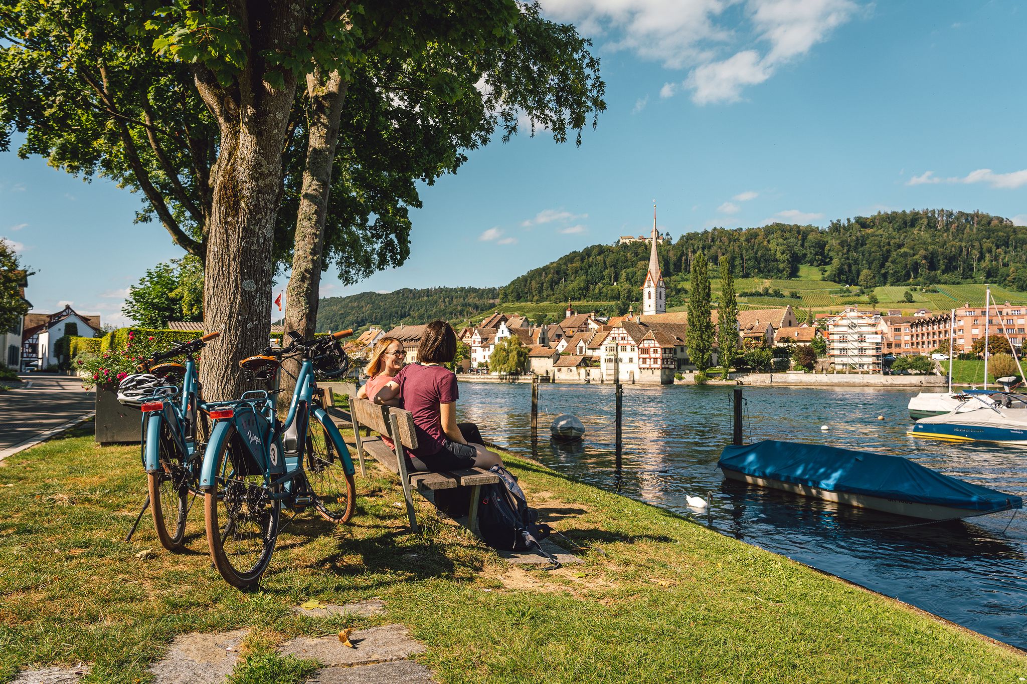
Rhine, vines, Randen – the top 5 cycle routes in Schaffhauserland
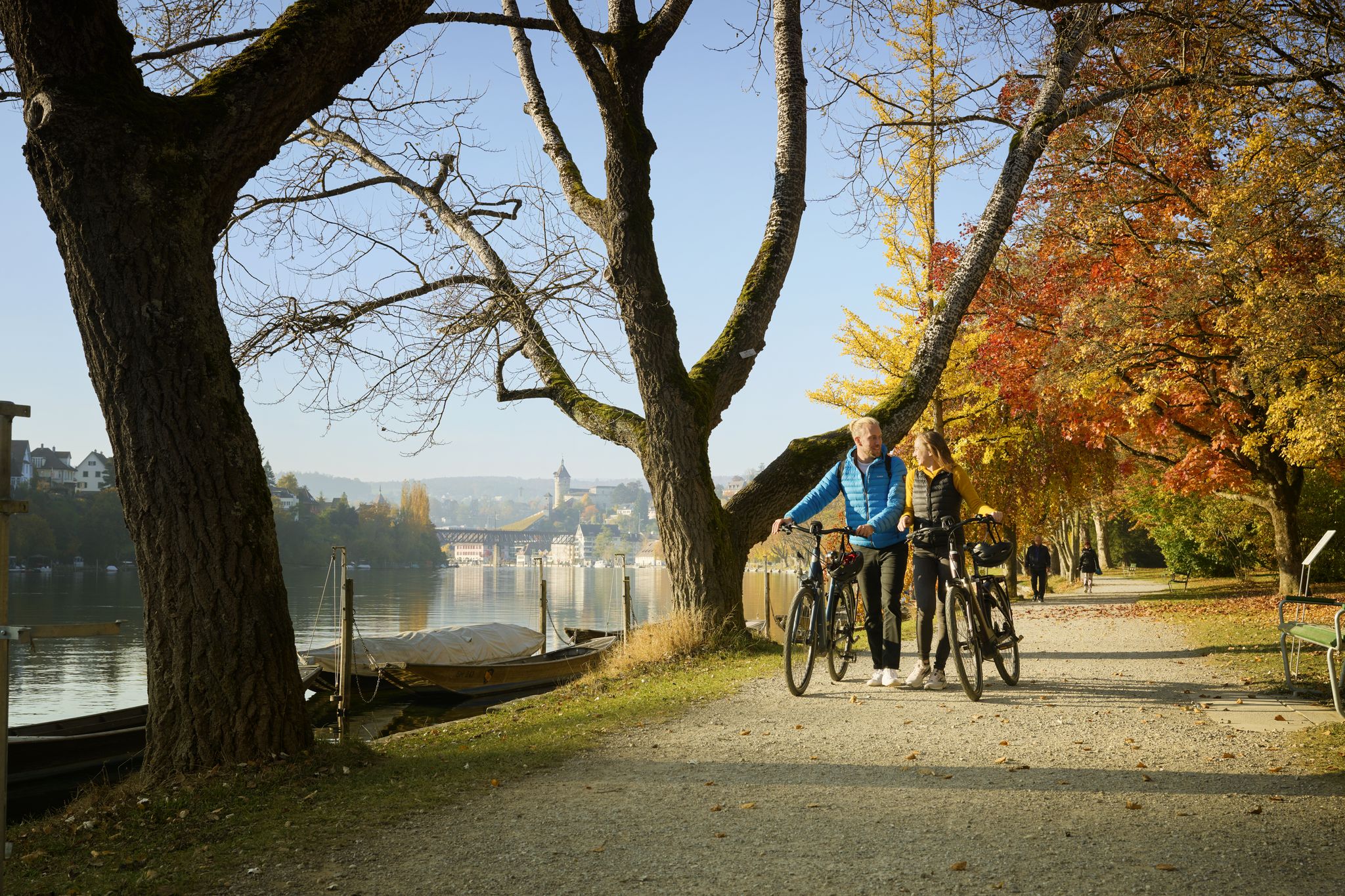
Rhine, Vines and Randen – autumn cycling routes in Schaffhauserland
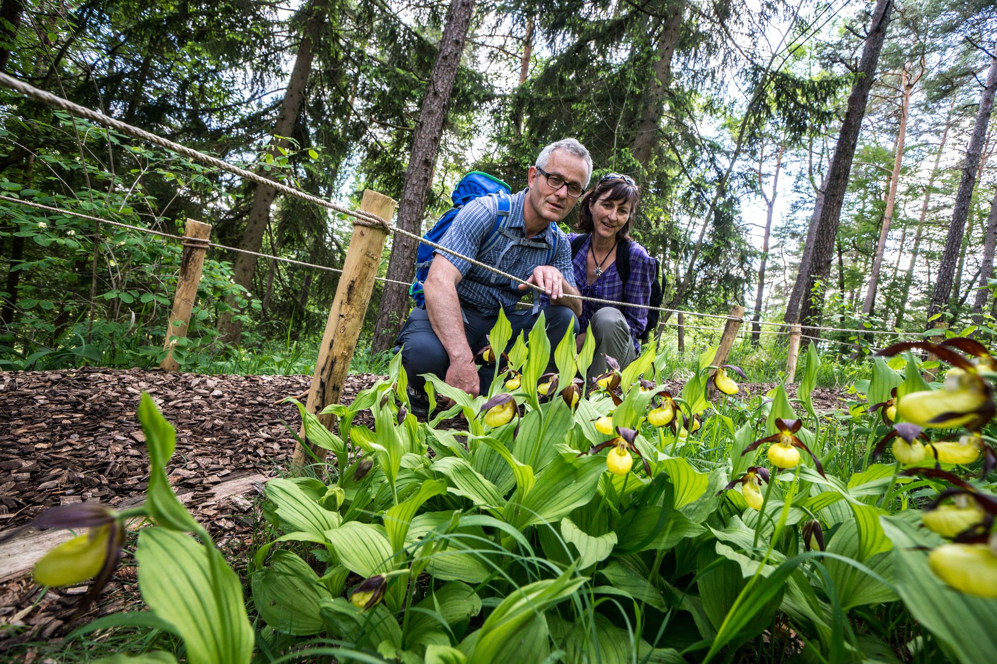
Wandern zwischen Rhein und Reben – Frühling im Schaffhauserland
Other adventures in Unterklettgau


Tips from the Community

Somewhat hidden in the "Flüe" (a local name for a rock formation), you'll find the Nagelfluh cave, also known as "Winterlislöchli". The area, with benches and a barbecue, offers a fantastic view of the German Klettgau region. According to local legend, a peddler woman named Winterlise once lived here for a time.
0
0
Between Wilchingen and Osterfingen, extensive vineyards shape the landscape of the Klettgau region. Rows of Pinot Noir, Riesling-Silvaner, and Pinot Gris stretch across the rolling hills, giving the region its distinctive character. The wine country reveals itself in a different light each season – from the fresh green of spring to the warm colors of autumn.
0
0


A beautiful and idyllic village center invites you to linger.
0
0

Thanks for the tip about the ruins, but I've been here before. I'm always amazed and impressed by how magnificent the view can be from here. You can see the mighty tree by the chapel, and with a little luck, a clear view of the Alps. From here, the world looks so beautiful (peaceful...). A tip is the path to the Rossberghof farm. From here, you can go down to the left to Osterfingen – but without me, at least never again on a mountain bike; the climb would be brutal... better take the road to the right, or to the Wasenhütte :-)
0
0
Radegg Castle Ruins (built in 1200, destroyed in 1300)
1
0
Frequently Asked Questions
How many hiking trails are accessible from bus stations in Unterklettgau?
Unterklettgau offers nearly 30 hiking trails that are easily accessible from local bus stations. These routes cater to various fitness levels, with 10 easy, 15 moderate, and 2 difficult options available.
What kind of landscapes can I expect on bus-accessible hikes in Unterklettgau?
Hiking from bus stations in Unterklettgau allows you to explore a diverse landscape. You'll find picturesque vineyards, dense forests of the Randen hill chain, and open agricultural plains. Many routes offer expansive views, sometimes even stretching to the Swiss Alps from higher vantage points.
Are there any easy, family-friendly routes starting from a bus stop?
Yes, there are several easy routes perfect for families. For instance, the Genussweg zwischen Wilchingen und Osterfingen is an easy 5.2 km trail that's great for a relaxed outing. Another gentle option is the Erzinger Mountain Chapel – Village Church Trasadingen loop from Trasadingen, also around 5.2 km, offering charming village views.
What are some notable landmarks or points of interest I can see along these trails?
Many bus-accessible trails feature interesting landmarks. You could explore the Radegg Castle Ruins, visit the historic St. Moritz Hill Church in Hallau, or discover the Flühhalde — Neolithic Cave and Picnic Area. Some routes also pass by charming villages and offer views of the Klettgau vineyards.
Are there any circular routes that start and end at a bus station?
Absolutely. Many routes are designed as loops, making them convenient for public transport users. For example, the Radegg Castle Ruins – Rossberghof Inn loop from Wilchingen is a moderate 7.3 km circular hike. Another great option is the Hallau – St. Moritz Hill Church, Hallau loop from Hallau, a moderate 8.6 km loop.
What do other hikers enjoy most about the bus-accessible trails in Unterklettgau?
The komoot community highly rates the trails in Unterklettgau, with an average score of 4.6 stars from over 4,700 ratings. Hikers frequently praise the region's diverse scenery, from rolling vineyards to peaceful forests, and the well-maintained paths that make exploring accessible and enjoyable. The convenience of starting directly from bus stations is also a big plus.
Can I find places to eat or rest along the bus station hiking routes?
Yes, you'll find various spots to rest and refuel. Some routes pass by inns like the Rossberghof Inn. Additionally, the region has several huts and shelters, such as the Chläggi-Höckli or the Lueg is Land Vineyard Hut, which are perfect for a picnic or a short break.
What is the best time of year to hike these trails?
Unterklettgau's bus-accessible trails are enjoyable throughout much of the year. Spring brings blooming wildflowers and fresh greenery, while autumn offers stunning vineyard colors. Summer is ideal for longer hikes, and even mild winter days can be pleasant for a crisp walk, especially through the forests.
Are there any routes that offer panoramic views?
Many trails in Unterklettgau provide excellent panoramic views, particularly those that ascend into the Randen hill chain or traverse the vineyard areas. The agricultural landscape of the Klettgau often provides unobstructed visual axes, and from higher points, you can enjoy sweeping vistas of the surrounding countryside and even glimpses of the Swiss Alps on clear days.
Are dogs allowed on the hiking trails accessible by bus?
Generally, dogs are welcome on hiking trails in Unterklettgau. However, it's always advisable to keep them on a leash, especially when passing through agricultural areas, near livestock, or in nature protection zones. Please ensure you clean up after your pet to maintain the natural beauty of the region.
Are there any longer, more challenging routes that are still accessible by bus?
For those seeking a longer challenge, the Hallau – View of the Klettgau Valley loop from Hallau is a moderate 14.9 km route that offers extensive exploration of the region's landscapes, including vineyards and panoramic viewpoints, all starting conveniently from Hallau's bus station.
Most popular routes in Unterklettgau
Most popular attractions in Unterklettgau

Get inspired with the komoot mobile app


Explore more
Browse the best Hikes in other regions.
