The best waterfall hikes and walks in Bezirk Hartberg-Fürstenfeld
4.6
(4210)
23,218
hikers
13
hikes
Waterfall hiking trails in Bezirk Hartberg-Fürstenfeld traverse a landscape characterized by rolling hills, dense forests, and numerous streams that feed into cascades. The region's geology contributes to the formation of these natural water features, offering varied terrain for hikers. These trails often follow river valleys and ascend through wooded areas, providing access to the waterfalls. The elevation changes are generally moderate, with some routes featuring steeper sections.
Best waterfall hiking trails in Bezirk Hartberg-Fürstenfeld
- The most popular waterfall hiking route is Wechselgraben Waterfall – Marienseer Schwaig loop from Katastralgemeinde Neustift am Alpenwald, a moderate 8.1 miles (13.1 km) trail that takes 4 hours 53 minutes to complete. This route offers a comprehensive exploration of the area's natural water features and forest paths.
- Another top favourite among local hikers is Marienseer Schwaig – Wechselgraben Waterfall loop from Aspangberg-St. Peter, a difficult 10.5 miles (16.8 km) path. This trail features more significant elevation gains and extends through varied forest and open terrain.
- Local hikers also love the Marienseer Waterfall – Wechselgraben Waterfall loop from Katastralgemeinde Neustift am Alpenwald, a 3.7 miles (6.0 km) trail leading through wooded valleys and past prominent waterfalls, often completed in about 1 hour 59 minutes.
- Hiking in Bezirk Hartberg-Fürstenfeld is defined by its forested hills, river valleys, and numerous waterfalls. The network offers options for easy, moderate, and difficult ability levels, catering to a range of hiking preferences.
- The routes in Bezirk Hartberg-Fürstenfeld are highly rated by the komoot community with an average score of 4.6 stars from over 3,600 reviews. More than 22,000 hikers have used komoot to explore Bezirk Hartberg-Fürstenfeld's varied terrain.
Last updated: August 19, 2026
4.9
(77)
417
hikers
Moderate hike. Good fitness required. Mostly accessible paths. Sure-footedness required.
4.9
(56)
296
hikers
16.8km
06:28
920m
920m
Hard hike. Very good fitness required. Mostly accessible paths. Sure-footedness required.

Sign up for free
4.6
(30)
120
hikers
Easy hike. Great for any fitness level. Easily-accessible paths. Suitable for all skill levels.
4.5
(19)
84
hikers
8.91km
02:52
360m
360m
Moderate hike. Good fitness required. Mostly accessible paths. Sure-footedness required.
4.9
(10)
40
hikers
Hard hike. Very good fitness required. Mostly accessible paths. Sure-footedness required.
Get access to more routes and recommendations from other explorers.
Sign up for free
Already have an account?
Our route recommendations are based on thousands of hikes, rides, and runs completed by other people on komoot.
Start today with a free account
Your next adventure awaits.
Login or Signup
Popular around Bezirk Hartberg-Fürstenfeld

Waterfall hikes in Pöllauer Valley

Waterfall hikes around Stubenbergsee

Central Alps Trail Eastern Section – Discover Austria
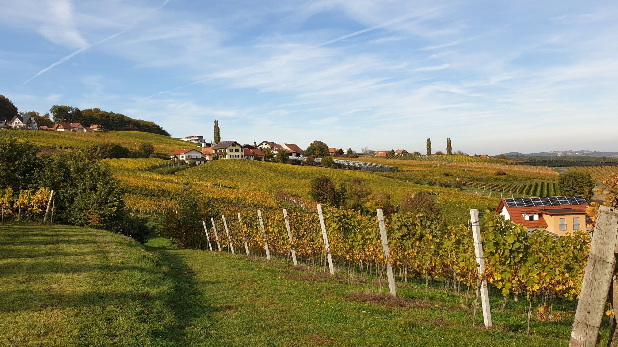
Hiking in Eastern Austria – Culinary delights, culture and charm

Wine, Murauen and rolling hills – hikes in Austria’s south-eastern Styria

Discover Styria in Austria on foot – ‘From Glacier to Wine’ North Route
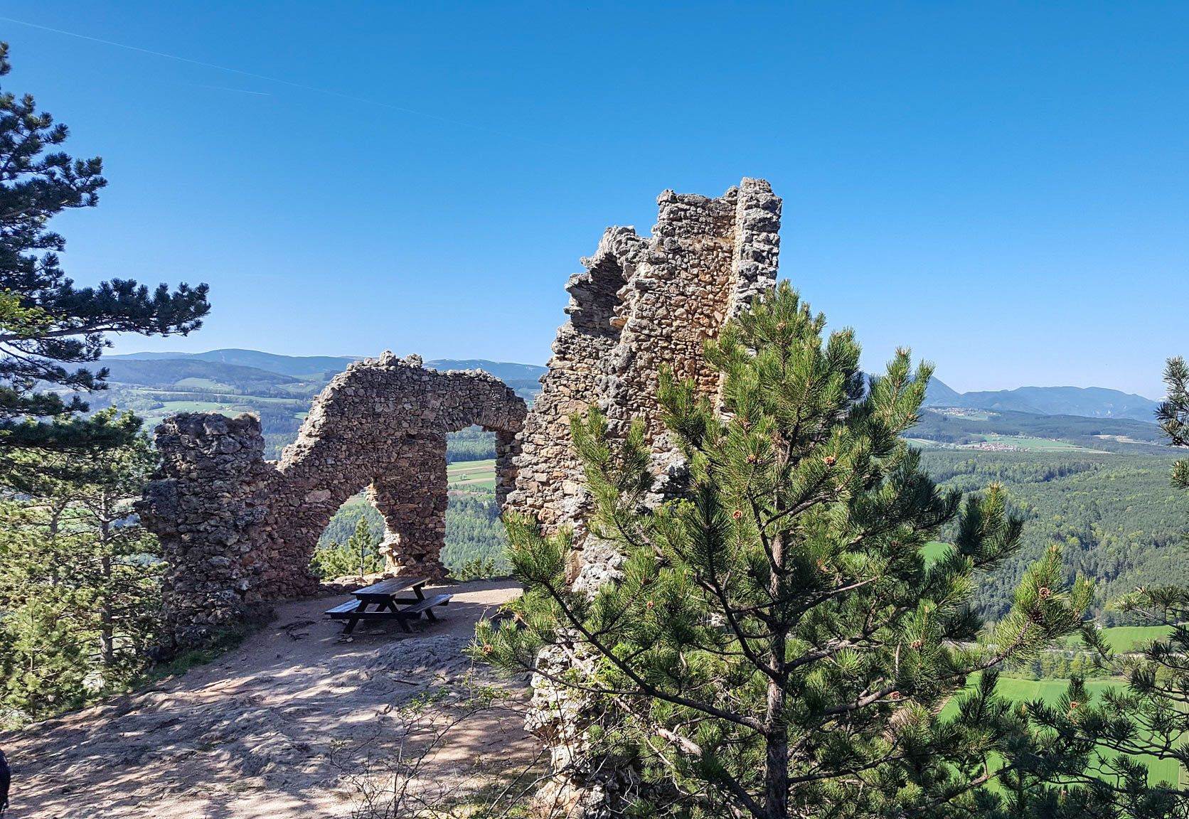
Family adventures in Vienna's local mountains
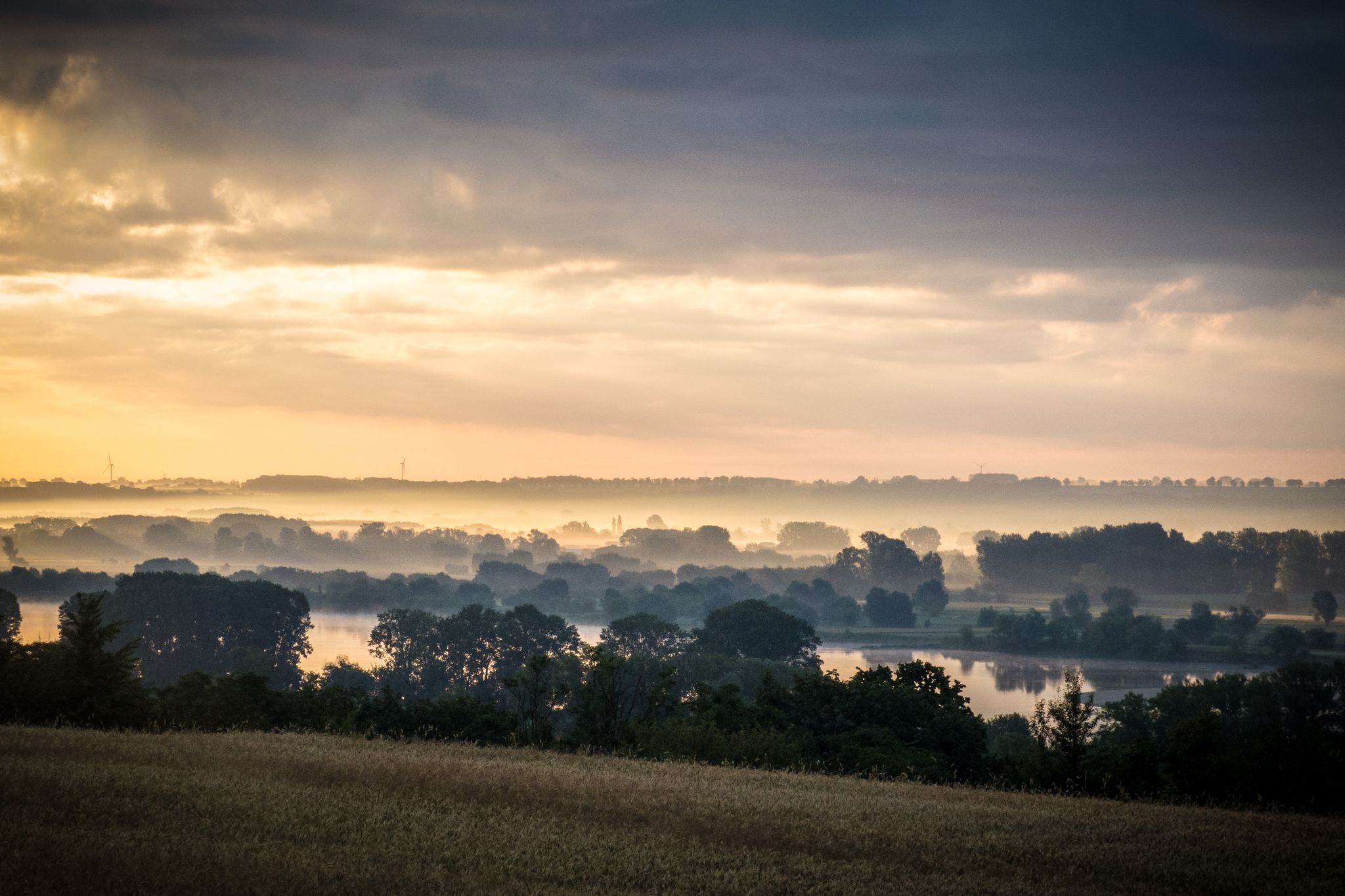
EuroVelo 9 – The Amber Route from the Baltic to Adriatic Sea
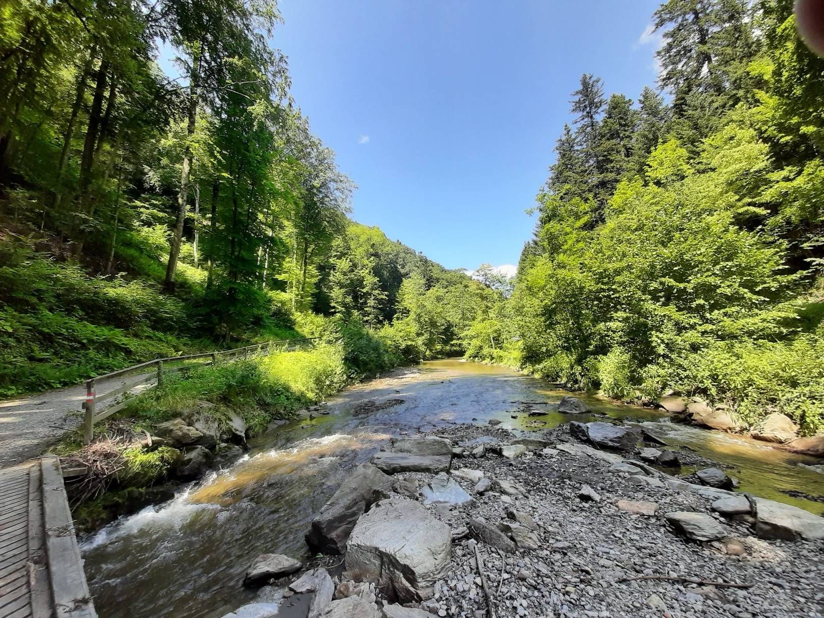
The Styrian Wine Country Cycle Trail – exploring Austria's wine culture

East Styria Loop – Styria Wine Country Cycle Tour
Other adventures in Bezirk Hartberg-Fürstenfeld


Tips from the Community

The Umschussriegel is a largely open summit plateau at an altitude of 1,720 meters in the Wechsel area, located just below the Hochwechsel. From the open plateau, there is a wide panoramic view of the Wechsel area and the surrounding mountains in clear weather. Together with Schöberlriegel and Hochwechsel, it forms a particularly beautiful section of the scenic ridge hike across the Wechselkamm.
3
0
The Wetterkoglerhaus is located directly on the summit of the Hochwechsel at 1,743 meters and is a hut of the Austrian Alpine Club. With good visibility, the hut offers a magnificent panorama over the Wechsel region to Schneeberg, Rax, and Hochschwab. Due to its immediate proximity to the summit cross and chapel, the Wetterkoglerhaus is an ideal resting and refreshment stop at the highest point of the tour.
4
0
The Dreiländereck lies in a saddle between Arabichl and Umschußriegel and is an important junction in the Wechsel area. Contrary to what the name suggests, three federal states do not meet here; the designation apparently dates back to the confluence of three property boundaries. From here, paths branch off in the direction of Hochwechsel, Marienseer Schwaig, Kranichberger Schwaig, and Steyersberger Schwaig, among others.
2
0

Wonderful nature experience - an easy, exciting way to the waterfall.
0
0

A super nice tour highly recommended
4
0

Start of the Lostplaceweg. Probably a natural fridge for refreshments. Nice idea - unfortunately everything is locked.
0
0
Anger railway station takes you back to the time when the railway was opened in 1911. Still in good condition. Unfortunately, it is currently an abandoned jewel. Hopefully this lost place can be revived. The station was built as part of the construction of the approximately 24 km long Feistritztalbahn, a narrow-gauge railway between Weiz and Birkfeld. The railway was opened on December 14/15, 1911 and public transport was completely stopped in 1973. By decision of February 2, 2011, the railway was placed under monument protection, but this was overturned by the court in 2017; in July 2021, it was again placed under protection, which was again contested by the court, but has been legally valid since 2023ː
0
0
The Anger parish church is essentially a Romanesque building. It was completely rebuilt in the Baroque style between 1708 and 1711. The figures on the high altar (around 1720) are attributed to Marcus A. Schokotnigg, and the altarpiece was painted by Josef Adam von Mölck in 1770. The Barbara Chapel contains valuable late Gothic frescoes. Parish church built in the 12th century. (1708–1711) Church: Fourteen Holy Helpers, built in 1517 (1633) Church: St. Ulrich am Külml, called 1424 Parish called: 1370 Registrations: T and Tr 1630, St 1634 Mass chapel: Maria Grünbründl am Rabenwald Parish church: Parish church of St. Andreas Branch church: Branch church of 14 Holy Helpers
0
0
Frequently Asked Questions
How many waterfall hiking trails are there in Bezirk Hartberg-Fürstenfeld?
Bezirk Hartberg-Fürstenfeld offers a selection of 13 waterfall hiking trails. These routes vary in difficulty, catering to different preferences and fitness levels.
What is the best time of year to hike to waterfalls in Bezirk Hartberg-Fürstenfeld?
The spring months are particularly rewarding for waterfall hikes in Bezirk Hartberg-Fürstenfeld. Following snowmelt and spring rains, the waterfalls are often at their most powerful and impressive. The lush greenery also adds to the scenic beauty.
Are there easy waterfall hikes suitable for beginners in Bezirk Hartberg-Fürstenfeld?
Yes, there is at least one easy waterfall hike perfect for beginners. The Marienseer Waterfall – Wechselgraben Waterfall loop from Katastralgemeinde Neustift am Alpenwald is a 3.7-mile (6.0 km) trail that can be completed in about 2 hours, offering a gentle introduction to the region's natural beauty.
Can I bring my dog on waterfall trails in Bezirk Hartberg-Fürstenfeld?
Many trails in Bezirk Hartberg-Fürstenfeld are dog-friendly, but it's always recommended to check specific route details on komoot for any restrictions or requirements. Ensure your dog is on a leash and that you carry waste bags to maintain the natural environment.
Are there family-friendly waterfall hikes in the region?
Yes, the region offers routes suitable for families. Shorter, less strenuous trails, like the Marienseer Waterfall – Wechselgraben Waterfall loop, are ideal for families with children, providing an enjoyable experience without excessive challenge.
Are there circular waterfall routes in Bezirk Hartberg-Fürstenfeld?
Absolutely. Many of the waterfall hikes in Bezirk Hartberg-Fürstenfeld are designed as circular routes, allowing you to start and end at the same point. Examples include the Wechselgraben Waterfall – Marienseer Schwaig loop and the Marienseer Schwaig – Wechselgraben Waterfall loop.
What other natural attractions can I explore near the waterfall trails?
Beyond the waterfalls, Bezirk Hartberg-Fürstenfeld boasts other beautiful natural attractions. You can explore the stunning Feistritzklamm Gorge, or visit serene bodies of water like Lake Stubenberg. The region also features other gorges such as Schönauklamm Gorge and Zeilerbach Gorge.
What should I wear for waterfall hiking in Bezirk Hartberg-Fürstenfeld?
For waterfall hiking, it's advisable to wear sturdy, waterproof hiking boots with good grip, as trails near waterfalls can be damp and slippery. Layered clothing is recommended to adapt to changing weather conditions, and a waterproof jacket is always a good idea.
Where can I find parking for waterfall hikes in the region?
Parking is generally available near the starting points of most popular waterfall trails. Specific parking information can often be found in the tour descriptions on komoot, or by checking local signage upon arrival at trailheads.
Are there any less-known or 'hidden gem' waterfall hikes?
While the Marienseer and Wechselgraben waterfalls are well-known, exploring trails like the Rauchstubenhaus – Waxenegg Castle Ruins loop from Anger might lead you to less frequented natural spots and offer a different perspective of the region's beauty, potentially revealing smaller, charming cascades.
What do other hikers say about the waterfall trails in Bezirk Hartberg-Fürstenfeld?
The waterfall trails in Bezirk Hartberg-Fürstenfeld are highly rated by the komoot community, with an average score of 4.6 stars from over 3,600 reviews. Hikers frequently praise the diverse landscapes, the refreshing presence of the waterfalls, and the well-maintained paths that make for an enjoyable outdoor experience.
Are there challenging waterfall trails for experienced hikers?
Yes, for those seeking a more strenuous adventure, there are difficult routes available. The Marienseer Schwaig – Wechselgraben Waterfall loop from Aspangberg-St. Peter is a challenging 10.5-mile (16.8 km) path featuring significant elevation gains, ideal for experienced hikers.
Most popular routes in Bezirk Hartberg-Fürstenfeld
Most popular attractions in Bezirk Hartberg-Fürstenfeld

Get inspired with the komoot mobile app


Didn’t find what you were looking for?
Check out more Hikes throughout Bezirk Hartberg-Fürstenfeld below and find the perfect route in your destination.
Explore more
Browse the best Hikes in other regions.
