The best hikes from bus stations in Bezirk Hartberg-Fürstenfeld
4.6
(4284)
23,353
hikers
1,001
hikes
Bus station hiking trails in Bezirk Hartberg-Fürstenfeld traverse a landscape characterized by rolling hills, extensive forests, and river valleys within Austria's Styria region. The area features diverse terrain, including the Pöllauer Tal Nature Park with its orchards and the Hartberger Gmoos wetland. Elevations range from gentle slopes to the more challenging forest-rich Wechsel region.
Best bus station hiking trails in Bezirk Hartberg-Fürstenfeld
- The most popular bus station hiking route is Romai Waterfall – Arzberg Summit Cross loop from St. Jakob…
Last updated: October 1, 2026
4.7
(72)
262
hikers
12.2km
03:41
390m
390m
Moderate hike. Good fitness required. Mostly accessible paths. Sure-footedness required.
4.5
(85)
344
hikers
9.00km
02:32
190m
190m
Moderate hike. Good fitness required. Easily-accessible paths. Suitable for all skill levels.

4.8
(34)
240
hikers
21.1km
06:39
830m
830m
Hard hike. Very good fitness required. Easily-accessible paths. Suitable for all skill levels.
4.7
(54)
209
hikers
Moderate hike. Good fitness required. Easily-accessible paths. Suitable for all skill levels.
4.4
(47)
230
hikers
3.95km
01:01
10m
10m
Easy hike. Great for any fitness level. Easily-accessible paths. Suitable for all skill levels.
Get access to more routes and recommendations from other explorers.
Already have an account?
Our route recommendations are based on thousands of hikes, rides, and runs completed by other people on komoot.
Start today with a free account
Your next adventure awaits.
Popular around Bezirk Hartberg-Fürstenfeld
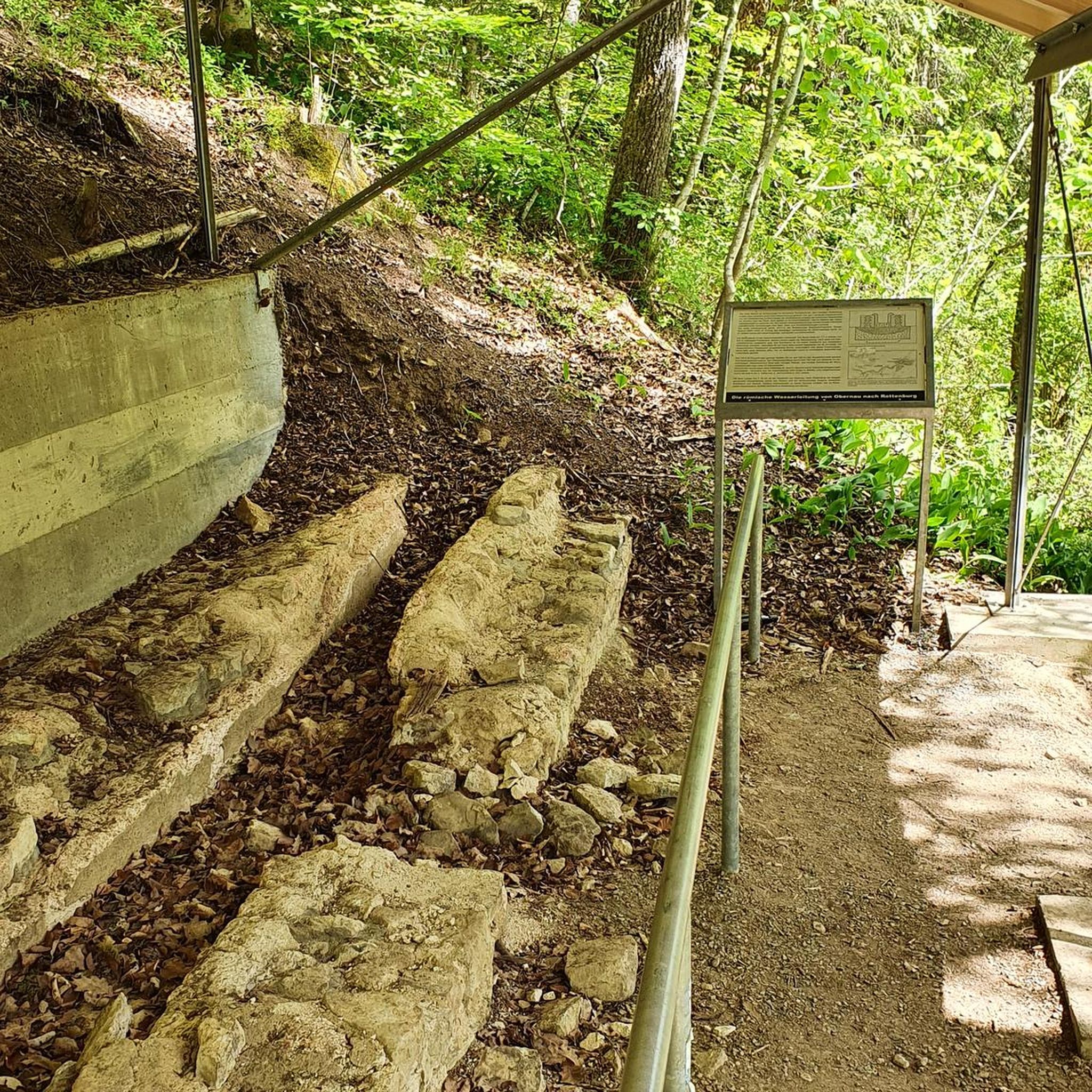
Hikes from bus stations in Pöllauer Valley
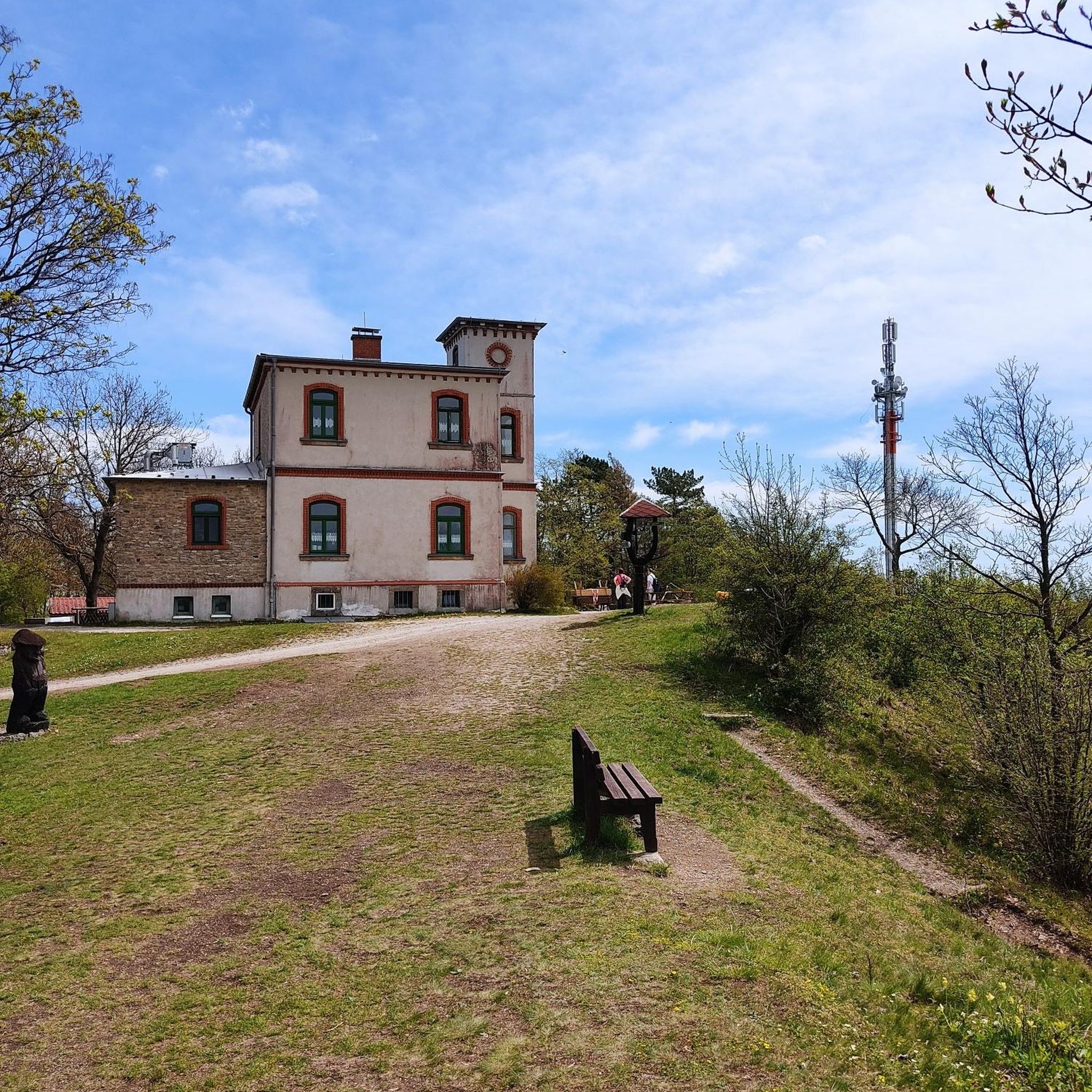
Hikes from bus stations in Hofwald

Hikes from bus stations in Gwandenwald
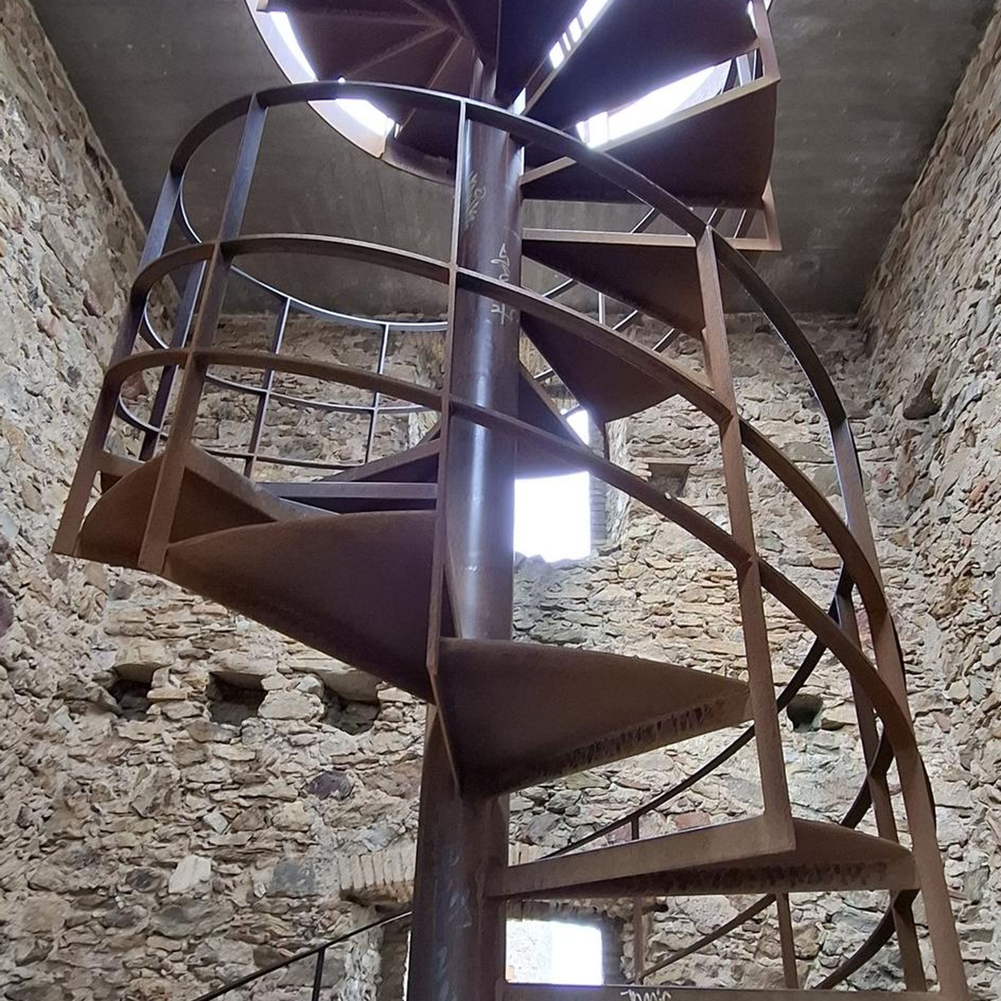
Hikes from bus stations around Stubenbergsee
Hikes from bus stations around Hartberg
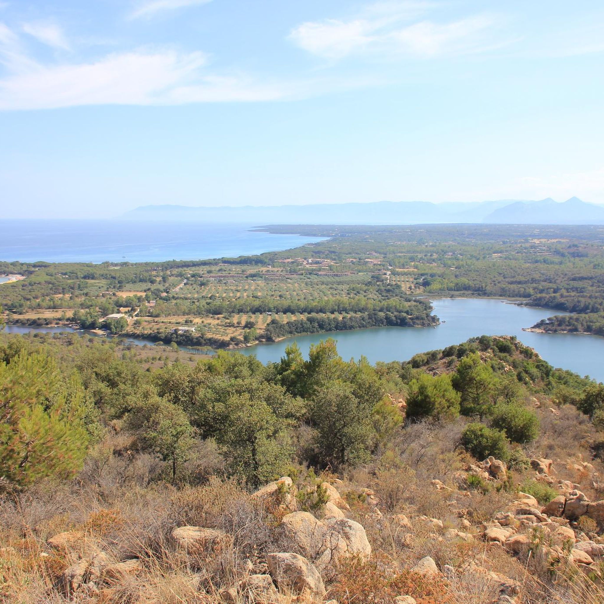
Hikes from bus stations around Wenigzell

Hikes from bus stations in Hochwald
Hikes from bus stations around Feistritztal

Hikes from bus stations in Buchwald
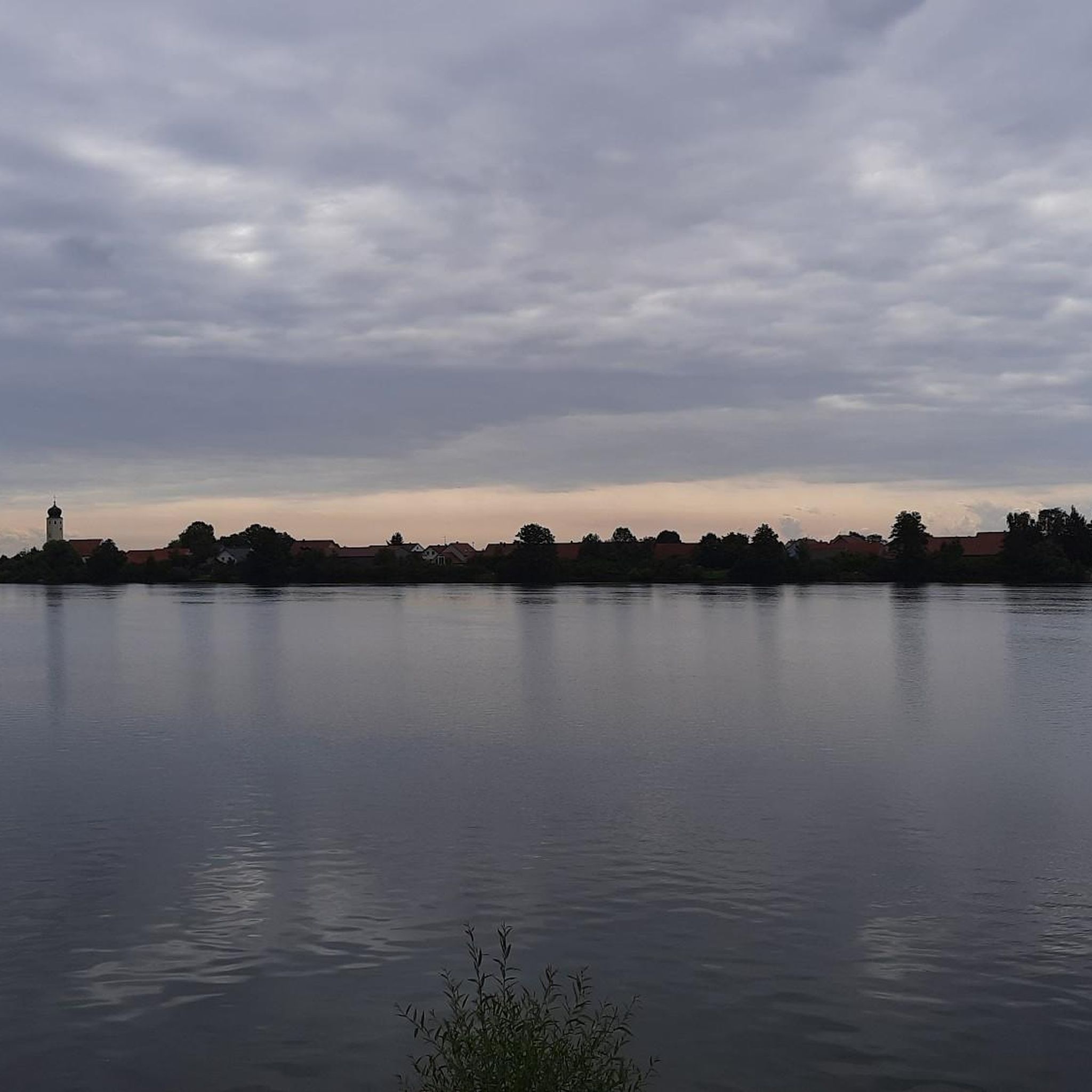
Hikes from bus stations in Edelseewald
Other adventures in Bezirk Hartberg-Fürstenfeld


Tips from the Community

A beautiful wayside shrine. Right next to it, you'll find a bench with a view of the Ringkogel and the Ringwarte.
0
0

From the Hallerhausweg, beautiful distant views open up in several places towards Rax and Schneeberg. The two striking mountain massifs stand out clearly from the horizon and form an attractive contrast to the gentler, wooded heights of the Wechsel region. A rewarding viewpoint along the path, especially with clear visibility.
3
0
The Hallerhaus is a cozy mountain hut on the Wechsel and a popular resting point for hikers. The hut is located in the middle of the quiet forest and alpine landscape and is ideally suited for a stop during a tour over the Niederwechsel. A beautiful place to take a break and enjoy the typical landscape of the Wechsel region.
4
0
The Steinerne Stiege is a striking section of the trail on the Niederwechsel, where the hiking path leads over stony, step-like passages. This section adds some variety to the landscape, which is otherwise characterized by forest paths and gentle ridges. Particularly on the descent, some sure-footedness is required on the irregular stones.
4
0
The Festenburg summit is located on the Niederwechsel and is a rather inconspicuous, natural point along the ridge. Instead of a distinct summit structure, forest and the gentle landscape of the Wechselland characterize this section. A quiet waypoint away from the more prominent peaks – typical for the elongated ridges of the Wechsel Mountains.
3
0
The Wetterkoglerhaus is located directly on the summit of the Hochwechsel at 1,743 meters and is a hut of the Austrian Alpine Club. With good visibility, the hut offers a magnificent panorama over the Wechsel region to Schneeberg, Rax, and Hochschwab. Due to its immediate proximity to the summit cross and chapel, the Wetterkoglerhaus is an ideal resting and refreshment stop at the highest point of the tour.
4
0

The Stadthalle in Hartberg. Great events are always taking place here. And the building itself is also impressive. Looks imposing.
1
0
Frequently Asked Questions
How many bus station hiking trails are available in Bezirk Hartberg-Fürstenfeld?
There are over 1000 hiking routes in Bezirk Hartberg-Fürstenfeld that are accessible from bus stations, offering a wide variety of experiences for all skill levels.
Are there family-friendly hiking routes accessible by bus in Bezirk Hartberg-Fürstenfeld?
Yes, Bezirk Hartberg-Fürstenfeld offers numerous family-friendly hikes accessible by bus. Many of the 450+ easy routes are suitable for families, featuring gentle terrain and scenic views. For example, the Rest Area in Gmoos – Hartberger Gmoos loop from Hartberg is an easy, short walk perfect for a family outing.
Can I bring my dog on bus-accessible hikes in this region?
Most hiking trails in Bezirk Hartberg-Fürstenfeld are dog-friendly, but it's always recommended to keep your dog on a leash, especially in nature parks or near livestock. Public transport rules for dogs may vary, so check with the local bus operator beforehand. The region's diverse landscapes, from forests to meadows, offer plenty of enjoyable routes for you and your canine companion.
What kind of natural attractions can I see along bus station hiking trails?
The region is rich in natural beauty. You can discover stunning waterfalls like the Romai Waterfall or the Brühlweg Waterfall. Many routes also pass by beautiful lakes such as Lake Stubenberg and the unique Hartberger Gmoos wetland.
Are there circular hiking routes accessible by bus in Bezirk Hartberg-Fürstenfeld?
Yes, many bus-accessible routes in the region are circular, allowing you to start and end your hike at the same bus stop without needing to arrange return transport. An example is the Romai Waterfall – Arzberg Summit Cross loop from St. Jakob im Walde, offering a rewarding circular experience.
What is the best time of year for bus station hikes in Bezirk Hartberg-Fürstenfeld?
The best seasons for hiking in Bezirk Hartberg-Fürstenfeld are spring and autumn. During these times, the weather is pleasantly mild, and the landscapes are particularly vibrant with blooming flowers or colorful foliage. While summer is also popular, some routes can be warm, and winter offers opportunities for snowshoeing or winter walks, though some higher trails might be less accessible.
Are there any easy bus-accessible hikes that offer scenic views?
Absolutely. Many easy routes provide wonderful vistas without demanding strenuous effort. The Forest, vineyards and orchards – Loipersdorf Thermal Spa loop from Therme Loipersdorf is an easy option that takes you through picturesque landscapes. The region's rolling hills and the Kulm mountain offer excellent panoramic views of the East Styrian hills.
What do other hikers enjoy most about bus-accessible trails in Bezirk Hartberg-Fürstenfeld?
The komoot community highly rates the hiking experiences in Bezirk Hartberg-Fürstenfeld, with an average score of 4.6 stars. Reviewers often praise the region's diverse and picturesque landscapes, the well-marked trails, and the ability to combine nature experiences with cultural highlights or relaxation at thermal spas.
Are there any bus-accessible hikes that lead to mountain lodges or places for refreshments?
Yes, some routes are designed to pass by or lead to mountain lodges and traditional eateries where you can enjoy local cuisine and refreshments. The Hallerhaus Mountain Lodge – Steinerne Stiege loop from Mönichkirchen is an example of a route that includes a mountain lodge, perfect for a break during a longer hike.
Can I find hikes near thermal spa areas that are accessible by bus?
Yes, the region is known for its thermal spa areas, and you can find bus-accessible hikes nearby. The Loipersdorf Thermal Spa – Forest, vineyards and orchards loop from Stein is a great example, allowing you to combine a relaxing spa visit with a beautiful hike through forests, vineyards, and orchards.
Are there any longer or more challenging bus-accessible hikes for experienced hikers?
For experienced hikers seeking a challenge, Bezirk Hartberg-Fürstenfeld offers more demanding routes accessible by bus. The Wechsel region, for instance, provides forest-rich tours. The Hallerhaus Mountain Lodge – Steinerne Stiege loop from Mönichkirchen is a difficult route covering over 21 km with significant elevation gain, offering a rewarding experience for those looking for a longer adventure.
Most popular routes in Bezirk Hartberg-Fürstenfeld
Most popular attractions in Bezirk Hartberg-Fürstenfeld

Get inspired with the komoot mobile app


Didn’t find what you were looking for?
Check out more Hikes throughout Bezirk Hartberg-Fürstenfeld below and find the perfect route in your destination.
Explore more
Browse the best Hikes in other regions.
