The best walks and hikes around Holtålen
5.0
(6)
70
hikers
6
hikes
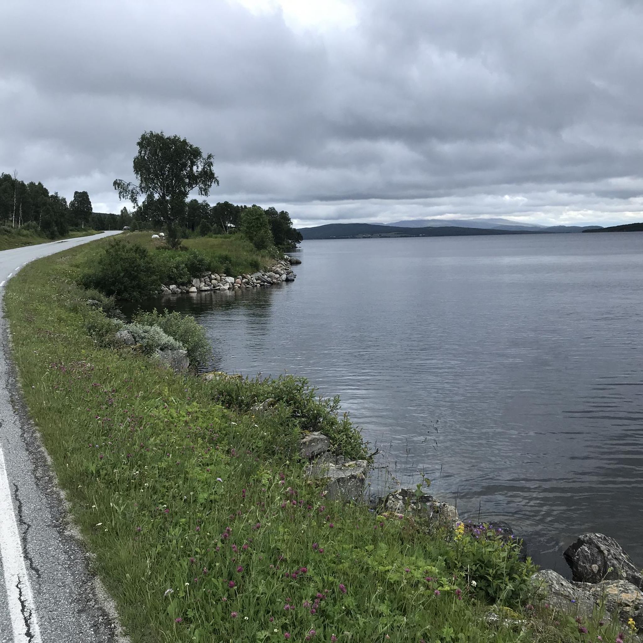
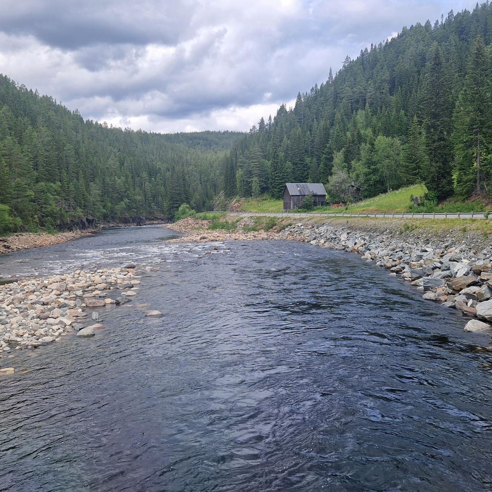
Hiking around Holtålen offers diverse terrain, characterized by mountain and plateau areas, lush moors, and sparkling mountain lakes. The region, including Forollhogna National Park, features undulating landscapes with gently sloping valley sides and forested pastoral valleys. This glacial landscape presents a mix of gentle mountain peaks and moraines, providing varied hiking experiences.
Best hiking trails around Holtålen
- The most popular hiking route is Forollhogna Summit Trail, an 8.9 miles (14.3 km) trail that takes 4 hours 39 minutes to…
Last updated: June 28, 2026
5.0
(4)
27
hikers
14.3km
04:39
610m
610m
Hike the moderate 8.9-mile Forollhogna out and back trail in Forollhogna National Park, gaining 1998 feet with scenic views.
11
hikers
13.6km
04:11
440m
440m
Hike the moderate 8.4-mile Ascent of Forollhogna trail in Forollhogna National Park, enjoying gentle mountains and panoramic summit views.

Sign up for free
1
hikers
11.9km
03:56
550m
550m
Moderate hike. Good fitness required. Easily-accessible paths. Suitable for all skill levels.
17
hikers
4.71km
01:42
280m
280m
Easy hike. Great for any fitness level. Easily-accessible paths. Suitable for all skill levels.
5.0
(1)
6
hikers
10.4km
02:55
190m
190m
Moderate hike. Good fitness required. Easily-accessible paths. Suitable for all skill levels.
Our route recommendations are based on thousands of hikes, rides, and runs completed by other people on komoot.
Start today with a free account
Your next adventure awaits.
Login or Signup
Popular around Holtålen
Tips from the Community


The direct route to Forollhogna, the highest peak in Forollhogna National Park, is tremendously scenic. A number of streams cascade from the heights and the views in all directions are great.
0
0
This is a lovely section of woodland on the direct trail to Forollhogna from the parking at Synnerdalen. The tumbling Bua stream is a gorgeous companion.
0
0
This is a beautiful upland stream that is crossed on the way to the beautiful Forollsjøen or to the summit of Forollhogna. A small wooden platform provides a safe crossing point.
2
0
From the ascent to Forollhogna, you're treated to gorgeous views of Forollsjøen. Apparently, the lake was once a Sami sacrifice site.
1
0
At 4,370 feet (1,332 m), Forolhogna is a fine summit in the national park of the same name, as well as it's highest peak. It occupies an enviable position above the Forollsjøen in a wild feeling landscape.
0
0

From the summit of Forollhogna (1,332 m) there is a wonderful view of the fell.
2
0
Frequently Asked Questions
What kind of terrain can I expect when hiking in Holtålen?
Holtålen offers diverse terrain, characterized by mountain and plateau areas, lush moors, and sparkling mountain lakes. Within Forollhogna National Park, you'll find undulating landscapes with gently sloping valley sides and forested pastoral valleys. The region's glacial landscape presents a mix of gentle mountain peaks and moraines, providing varied hiking experiences from easy strolls to more challenging mountain excursions.
Are there any easy hiking trails suitable for beginners in Holtålen?
Yes, Holtålen has trails suitable for beginners. An easy option is the Rogne loop from Hessdalskjølen hyttefelt, which is 4.7 km long and typically takes around 1 hour 42 minutes to complete. This trail offers a gentle introduction to the region's natural beauty.
What are some notable natural features or landmarks to look out for on the trails?
Holtålen is rich in natural landmarks. You can explore Forollsjøen Lake, known for its scenic beauty and historical significance as a Sami sacrificial site. The summit of Forollhogna itself offers panoramic views. The region also features numerous sparkling mountain lakes and forested pastoral valleys, showcasing cultural landscapes with old farmsteads.
Can I find circular hiking routes in Holtålen?
Yes, there are circular routes available. The Rogne loop from Hessdalskjølen hyttefelt is a good example of a circular trail, offering a convenient way to experience the local scenery.
What is the best time of year to go hiking in Holtålen?
The best time for hiking in Holtålen is generally during the warmer months, from late spring to early autumn (June to September), when the trails are clear of snow and the weather is most favorable. This period allows full access to the mountain and plateau areas, and the lush moors are at their most vibrant.
Are there any historical or cultural trails in the area?
Yes, Holtålen offers trails with historical significance. The Østerdalen Path follows a section of the famous pilgrimage route to Nidaros, offering a historical dimension as it traverses through varied valley landscapes. The region also holds traces of Sami settlements and ancient human activities.
What do other hikers enjoy most about hiking in Holtålen?
The komoot community highly rates the hiking experience in Holtålen, with an average score of 5.0 stars. Hikers often praise the region's diverse terrain, from gentle valleys to mountain peaks, and the serene, unspoiled nature of Forollhogna National Park. The well-maintained trails and the opportunity to experience Norway's 'Friendly Mountains' are frequently highlighted.
Are there any trails that offer panoramic views?
Absolutely. Hiking to the summit of Forollhogna, for instance, via the Forollhogna Summit Trail, provides extensive panoramic views of the surrounding mountain and plateau areas. Morkavollhøgda in Hessdalen is also known for offering sweeping views over Øyungen lake.
How many hiking trails are available in Holtålen?
There are several hiking trails available in Holtålen, with komoot featuring 6 distinct routes. These range from easy walks to moderate mountain excursions, ensuring options for various skill levels and preferences.
Are there any places to rest or stay overnight along the trails?
The region is known for having cozy huts available for breaks along the way, particularly within Forollhogna National Park. These can provide convenient spots for rest during day trips or for longer excursions.
What is the typical elevation gain on trails in Holtålen?
The elevation gain varies significantly depending on the trail. For example, the Forollhogna direct out and back – Forollhogna National Park trail involves an elevation gain of approximately 553 meters, while easier routes like the Rogne loop from Hessdalskjølen hyttefelt have a more modest gain of around 284 meters. The overall terrain in Forollhogna National Park is generally gentle, but ascents to specific peaks can be steeper.
Most popular routes around Holtålen
Most popular attractions around Holtålen

Get inspired with the komoot mobile app


Explore more
Browse the best Hikes in other regions.
