Top 7 Mountain Passes around Gebenstorf
Mountain passes around Gebenstorf are situated within the Jura Mountains region of Switzerland, offering elevated points known for their scenic beauty and recreational opportunities. The area provides diverse terrain for hiking and cycling, with impressive viewpoints over the Swiss Central Plateau. Gebenstorf is located near the "water castle of Switzerland," where the Aare, Reuss, and Limmat rivers converge. This region features historical routes and natural landscapes.
Best mountain passes around Gebenstorf
- The most popular mountain passes is Ampfernhöhe, a…
Last updated: September 29, 2026
Ampfernhöhe
Highlight • Mountain Pass
Translated by Google •
Tip by

Bürersteig Pass
Highlight • Mountain Pass
Translated by Google •
Tip by

Sign up now to discover places like this
Get recommendations on the best single tracks, peaks, & plenty of other exciting outdoor places.
Bözberg Pass
Highlight • Mountain Pass
Translated by Google •
Tip by

Serpentine Pass Near Hottwil
Highlight • Mountain Pass
Tip by

Erli rest area
Highlight • Parking
Translated by Google •
Tip by

Sign up for free to discover even more mountain passes around Gebenstorf.
Already have an account?
Start today with a free account
Your next adventure awaits.
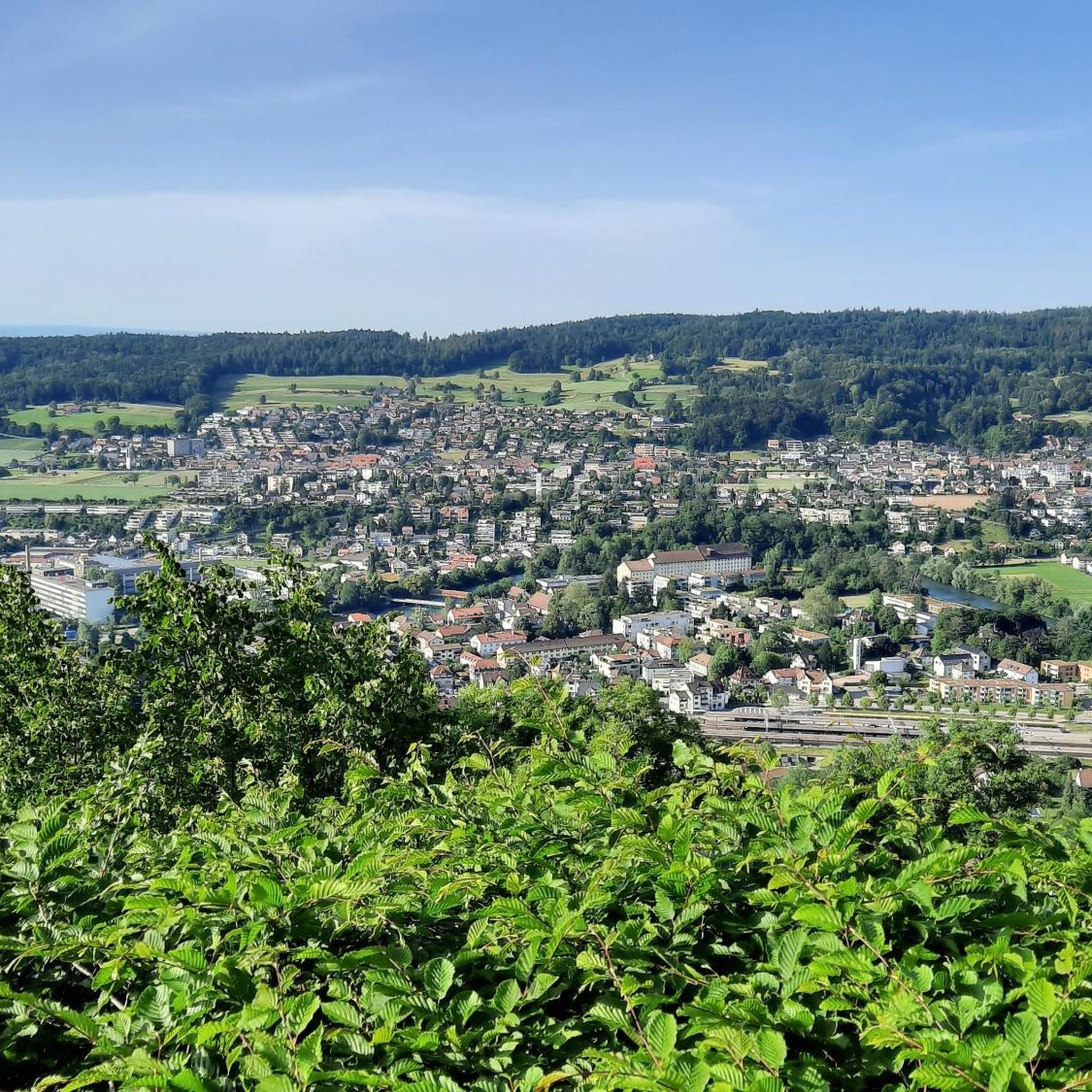
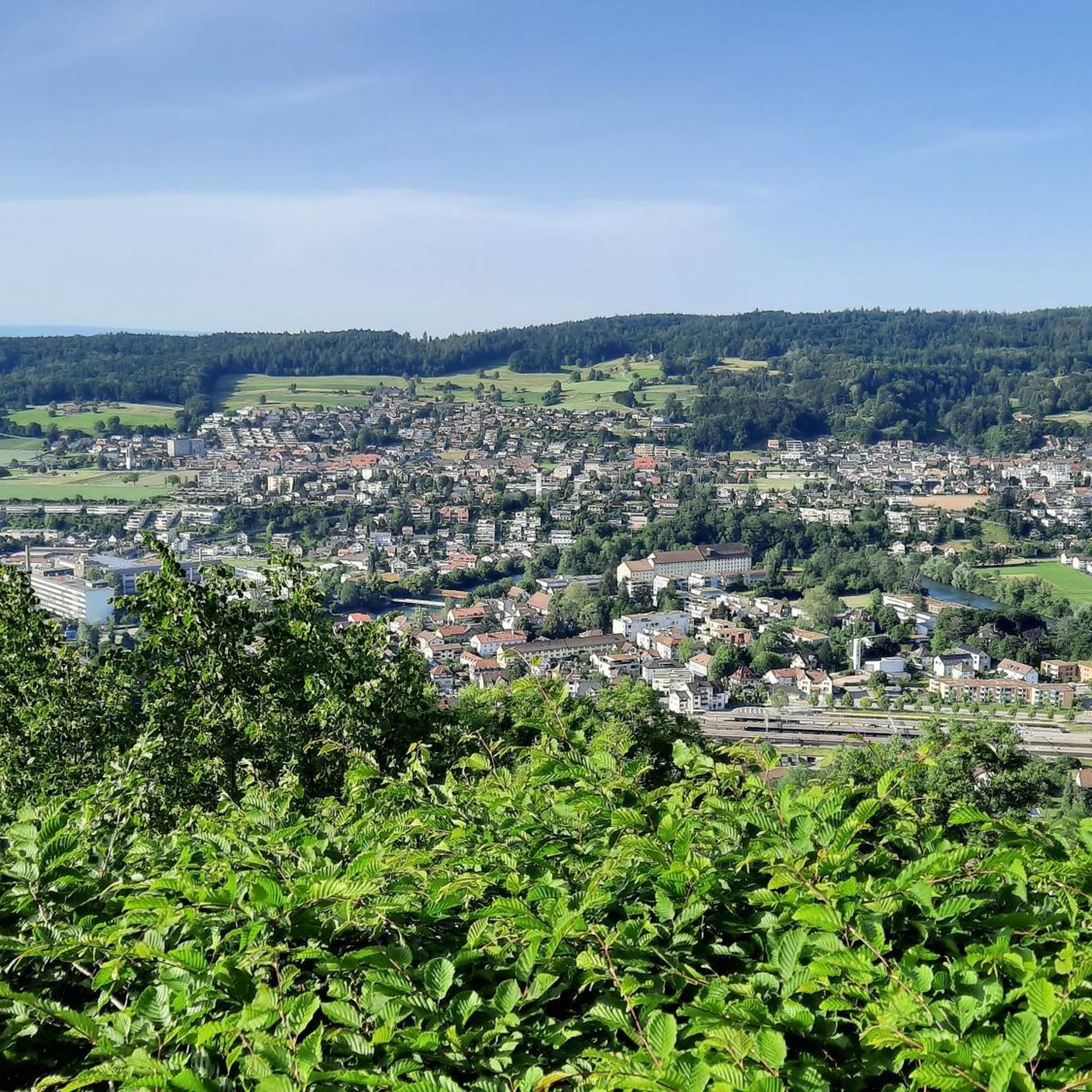
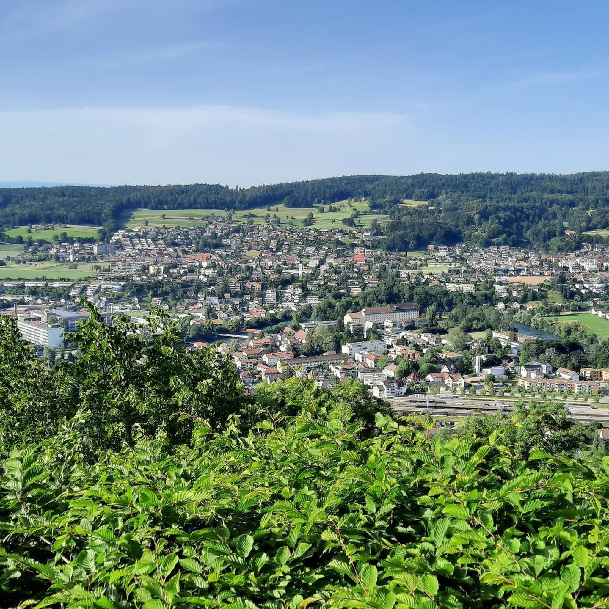
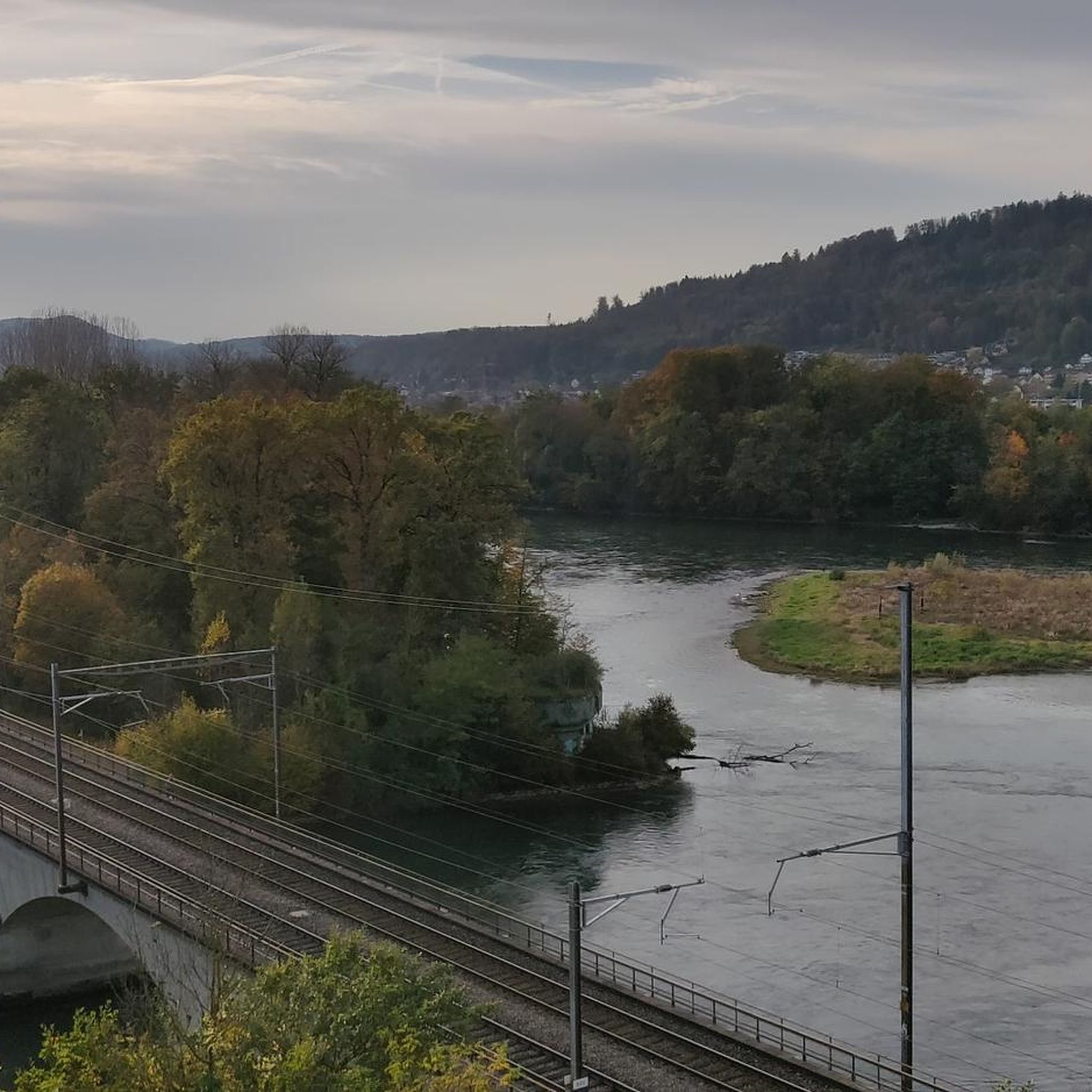

Tips from the Community

Arrived at the summit of the Bürersteig (550 m above sea level), a versatile hub for cyclists and mountain bikers in the Jurapark Aargau opens up. Those who have mastered the ascent from Mönthal or Gansingen do not have to go directly down the fast descent to Remigen – there is plenty to discover at the top: Discover military history: The Bürersteig fortified position Directly in the area of the pass and in the adjacent forest areas, you will encounter historical concrete structures from the Second World War and the Cold War. Purpose of the facility: The pass was part of the Swiss Army's Bürersteig fortified position. Its mission was to block a potential enemy advance from the Rhine Valley across the Jura towards the Mittelland and the Aare Valley.
1
0

Pleasant gradient, easy to manage. Beware, we are not alone on the road. Especially when going downhill. The route is also popular with motorcyclists and cars, especially on weekends and holidays when the weather is nice.
1
0

The main road over the 569 meter high Bözberg connects the Fricktal with Brugg. If you are on a mountain bike, you have the advantage of being able to go straight back into the forest before and after, thus avoiding traffic.
1
0

Beautiful view of Mandach and the Black Forest
0
0

The Ampferehöchi done, many new trail possibilities are waiting to be explored
0
0
On the Bözberg! And no matter which side you arrive from, there are many interesting forest and field paths, trails, and sights in the area. While you're there, I recommend visiting the Linner Linde tree or the old town of Brugg. There's so much more to see there, but there wouldn't be enough space. Have fun!
1
0


is on the tour, very steep, short climb: 80 m, rapid descent on the other side
0
0
Frequently Asked Questions
What are some scenic mountain passes with great views near Gebenstorf?
For expansive views, the Benkerjoch Pass is an excellent choice, with panoramic views from nearby Wasserflue extending to the Swiss Alpine chain and parts of the Black Forest. The Salhöhe also offers far-reaching views of the Aargau Jura hills. Additionally, the Gebenstorfer Horn, part of the Jura Crest Trail, provides impressive vistas of the "water castle of Switzerland" where the Aare, Reuss, and Limmat rivers converge.
Are there any historically significant mountain passes in the Gebenstorf region?
Yes, the Bözberg Pass has a rich history, known as Mons Vocetius in Roman times and serving as a crucial link between Augusta Raurica and Vindonissa. Sections of the ancient Roman road can still be seen near Effingen. The Salhöhe also holds historical significance, having once marked the border between the Old Swiss Confederacy and Habsburg possessions, with former World War II bunkers in the vicinity. The Chilchzimmersattel also features fortifications from World War I.
What kind of outdoor activities can I do around the mountain passes near Gebenstorf?
The region around Gebenstorf offers diverse outdoor activities. You can enjoy hiking, cycling, and gravel biking. For hiking, explore trails like the Jura Crest Trail accessible from the Gebenstorfer Horn or various routes around the Benkerjoch and Salhöhe. For cycling, passes like Ampfernhöhe and Serpentine Pass Near Hottwil are popular. You can find more detailed routes for these activities in the hiking, cycling, and gravel biking guides around Gebenstorf.
Which mountain passes are particularly good for cycling near Gebenstorf?
Cyclists will enjoy the Ampfernhöhe, which features a moderately driven road with a fluid increase through shady forest. The Serpentine Pass Near Hottwil is also highly recommended for its excellent asphalt surface and consistent climb with little traffic. The Bözberg Pass and Salhöhe are also popular for scenic cycling routes, offering a less congested alternative to main roads.
What is the best time of year to visit the mountain passes around Gebenstorf?
The mountain passes around Gebenstorf are generally accessible year-round, with spring through autumn being ideal for hiking and cycling due to pleasant weather. Passes like Benkerjoch remain open year-round. While the Chilchzimmersattel is open all year, it is not cleared of snow after snowstorms, which can make it more challenging in winter. For the best experience, consider visiting from late spring to early autumn when the trails are clear and the views are most vibrant.
Are there family-friendly options among the mountain passes near Gebenstorf?
While specific 'family-friendly' designations for passes are not always explicit, many areas offer suitable options. The Ampfernhöhe, with its moderate and fluid increase through shady forest, can be pleasant for families. The Benkerjoch Pass serves as a starting point for numerous nature experiences and hikes, some of which are suitable for families. The Erli rest area, located at a pass height, is also noted as family-friendly.
How can I reach the mountain passes near Gebenstorf using public transport?
The Benkerjoch Pass is notably accessible by Postauto (public bus), making it a convenient starting point for hikes and explorations. For other passes, public transport options may vary, often involving bus connections to nearby villages from which you can start your journey. It's advisable to check local bus schedules for specific routes to the base of the passes.
Where can I find parking when visiting mountain passes around Gebenstorf?
Parking is available at various points near the mountain passes. For instance, the Erli rest area is a small parking lot located at a pass height, offering a convenient spot to stop. Many trailheads and starting points for routes around passes like Benkerjoch and Salhöhe will also have designated parking areas. It's recommended to check specific route details for parking availability before your visit.
What makes the Gebenstorfer Horn a notable elevated point, even if it's not a traditional pass?
The Gebenstorfer Horn is a significant elevated point directly associated with Gebenstorf and is part of the Jura Crest Trail. It offers glorious impressive views, particularly of the "water castle of Switzerland" where the Aare, Reuss, and Limmat rivers converge. This section of the trail features varied terrain, including vineyards, forests, and ridge paths, providing a diverse and engaging hiking experience with views that can stretch to the Alps on clear days.
Are there options for beginner cyclists or hikers among the mountain passes around Gebenstorf?
Yes, there are options suitable for beginners. The Ampfernhöhe is described as having a very moderate and fluid increase, making it pleasant for less experienced cyclists. For hikers, sections of the Jura Crest Trail near Gebenstorf or trails starting from the Benkerjoch Pass can offer easier routes. Always check the specific route details and difficulty ratings before embarking on a tour.
Can I find places to eat or drink near the mountain passes?
Yes, some passes and nearby areas offer amenities. For example, near the Ampfernhöhe, there's a short, steep climb to the "Sennhütte" which offers catering. Villages located at the base or near the passes, such as Küttigen and Oberhof near Benkerjoch, or Kienberg and Erlinsbach near Salhöhe, often have cafes, pubs, or restaurants where you can refresh yourself.
What unique features does the Salhöhe offer?
The Salhöhe, also known as Saalhöhe, is a pass that marks the cantonal border between Aargau and Solothurn. It offers expansive views of the Aargau Jura hills and holds historical significance with former World War II bunkers in its vicinity. It's a popular spot for recreational drivers, cyclists, and motorcyclists, and provides excellent opportunities for hiking with various trails inviting exploration.
Most popular routes around Gebenstorf
Most popular attractions around Gebenstorf

Get inspired with the komoot mobile app


Explore more
See even more epic mountain passes by checking out these guides around Gebenstorf:
