The best walks and hikes around Guijo De Ávila
4.4
(5)
36
hikers
14
hikes
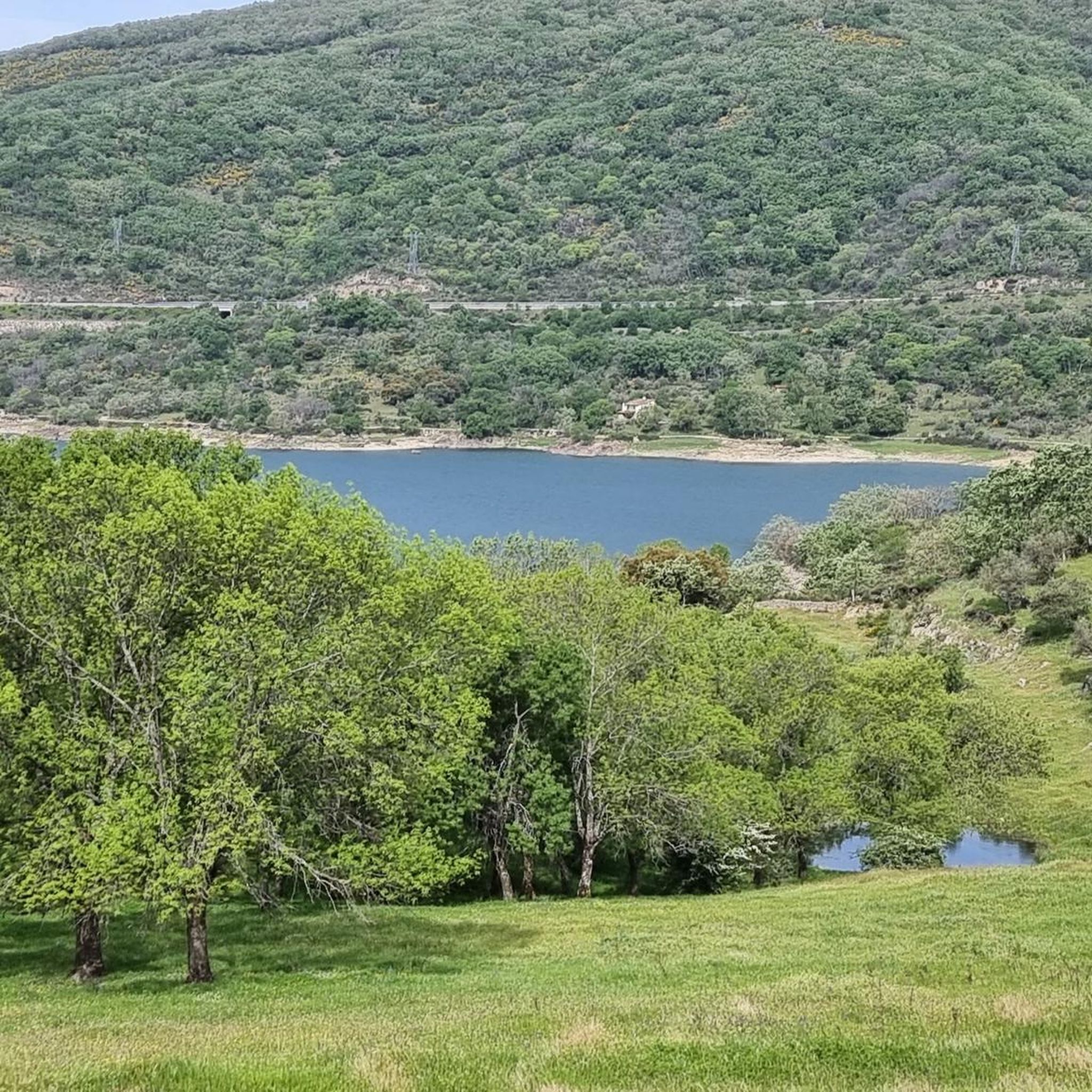
Hiking around Guijo de Ávila offers diverse landscapes within the Comarca de la Sierra de Béjar, situated over a thousand meters high. The region provides panoramic views of the Central System, including the Sierra de Béjar and Sierra de Gredos mountain ranges. The terrain features meadows and oak groves, transitioning with the seasons, and overlooks the Dehesa salmantina and the Embalse del Río Tormes. River gorges carved by the Tormes River are also characteristic of the area.
Best hiking trails…
Last updated: July 6, 2026
3
hikers
7.56km
02:07
150m
150m
Moderate hike. Good fitness required. Easily-accessible paths. Suitable for all skill levels.
2
hikers
9.91km
02:52
260m
250m
Moderate hike. Good fitness required. Easily-accessible paths. Suitable for all skill levels.

Sign up for free
3
hikers
18.3km
05:10
400m
400m
Hard hike. Very good fitness required. Easily-accessible paths. Suitable for all skill levels.
3
hikers
6.14km
01:37
60m
60m
Easy hike. Great for any fitness level. Easily-accessible paths. Suitable for all skill levels.
5.0
(1)
2
hikers
13.9km
03:52
250m
240m
Moderate hike. Good fitness required. Easily-accessible paths. Suitable for all skill levels.
Get access to more routes and recommendations from other explorers.
Sign up for free
Already have an account?
Our route recommendations are based on thousands of hikes, rides, and runs completed by other people on komoot.
Start today with a free account
Your next adventure awaits.
Login or Signup



Tips from the Community

The Tondo path is part of the western Cañada Real Soriana. This section runs through a beautiful oak grove that offers refreshment and some shade in the summer.
0
0

This is the tourist and gastronomic area of Guijuelo, considered the birthplace of acorn-fed Iberian ham with Protected Designation of Origin (PDO Guijuelo). More than 150 ham and cured meat producers are concentrated here. The cold, dry climate of the Sierra de Béjar favors a slow, natural curing process, giving the ham a sweeter, more unctuous flavor.
3
0

It is recommended to pray a Hail Mary to the Virgin of the Holy Fountain
0
0
Romanesque semicircular head, Gothic doorway, Renaissance arches, Mudejar structure, Mudejar roof with enigmatic Celtic designs, rustic gallery, beautiful baptismal font, perhaps Visigothic, perhaps not... It doesn't matter, it's very interesting!
0
0
Beautiful rural cruise in Gilbuena
0
0
Beautiful view on the road from Becedas to Gilbuena
0
0

Beautiful oak forest, ideal for a summer day in Castile
0
0

Basically it is the tower that remains of the church of Neila de San Miguel.
0
0
Frequently Asked Questions
How many hiking trails are available around Guijo de Ávila?
There are over 10 hiking trails around Guijo de Ávila, offering a variety of experiences for different skill levels. These routes are highly rated by the komoot community, with an average score of 4.0 stars.
What kind of terrain can I expect on hikes in Guijo de Ávila?
The terrain around Guijo de Ávila is diverse, featuring elevated views of mountain ranges like the Sierra de Béjar and Sierra de Gredos. You'll find extensive oak groves, meadows that change with the seasons, and river valleys carved by the Tormes River. The landscape also includes the characteristic Dehesa salmantina.
Are there any circular hiking routes in the area?
Yes, many routes around Guijo de Ávila are circular. For example, the Hiking loop from Valdelacasa is a moderate 4.7-mile (7.6 km) trail, and the Oak forest of the Sierra de Tonda loop from Mataherrero offers a 6.2-mile (9.9 km) moderate option.
What are the difficulty levels of the hiking trails?
The trails around Guijo de Ávila cater to various abilities. You'll find options ranging from easy to difficult. The majority of the routes, 8 out of 10, are classified as moderate, providing a good balance for most hikers.
Are there any natural attractions or viewpoints along the trails?
Absolutely. The region offers impressive panoramic views of the Central System, including the Sierra de Béjar and Sierra de Gredos mountain ranges. You can also enjoy views of the Dehesa salmantina and the Embalse del Río Tormes (Santa Teresa Reservoir). The Tormes River at Puente del Congosto is a notable natural feature with gorges carved by water erosion.
What is the best time of year to go hiking in Guijo de Ávila?
Guijo de Ávila is beautiful throughout the year. The meadows and oak groves transition from vibrant green in spring to golden in summer, offering different scenic experiences. Its elevated location means it can be pleasant even in warmer months, but spring and autumn generally provide the most comfortable temperatures for hiking.
Are there any historical sites or landmarks to see while hiking?
Yes, the area has historical significance. Guijo de Ávila is located on the historic Ruta de la Plata (Silver Route). You can visit the Church of San Miguel Arcángel, which is part of the Church of Gilbuena – Church of San Miguel Arcángel loop from Medinilla route. The Puente del Congosto also features a historic bridge.
Are there any family-friendly hiking options?
While specific 'family-friendly' routes aren't explicitly detailed, the region offers easy and moderate trails that could be suitable for families. The varied landscapes and natural features like the Tormes River provide engaging environments for children to explore. Always check the distance and elevation gain for suitability.
Can I hike with my dog in Guijo de Ávila?
Generally, hiking with dogs is permitted on trails in natural areas like Guijo de Ávila, especially in rural settings. However, it's always recommended to keep your dog on a leash, especially in areas with livestock or wildlife, and to respect local regulations regarding pet access. Ensure you carry water for your dog.
What do other hikers enjoy most about the trails in Guijo de Ávila?
The area is highly rated by the komoot community, with an average score of 4.0 stars. Hikers often praise the diverse landscapes, from oak forests to panoramic mountain views, and the variety of routes available for different skill levels. The tranquility and natural beauty are frequently highlighted.
Is there parking available near the trailheads?
As a rural area popular for outdoor activities, parking is generally available in or near the villages that serve as starting points for hikes, such as Valdelacasa or Mataherrero. It's advisable to look for designated parking areas in these towns before starting your hike.
What is the longest hiking trail in Guijo de Ávila?
The longest trail listed is the Oak forest of the Sierra de Tonda loop from Valdelacasa, which is 11.4 miles (18.3 km) long. This route is classified as difficult and typically takes around 5 hours and 10 minutes to complete, with a significant elevation gain.
Most popular attractions around Guijo De Ávila

Get inspired with the komoot mobile app


Explore more
Browse the best Hikes in other regions.
