The best running trails around Guijo De Ávila
4.0
(1)
23
runners
7
runs
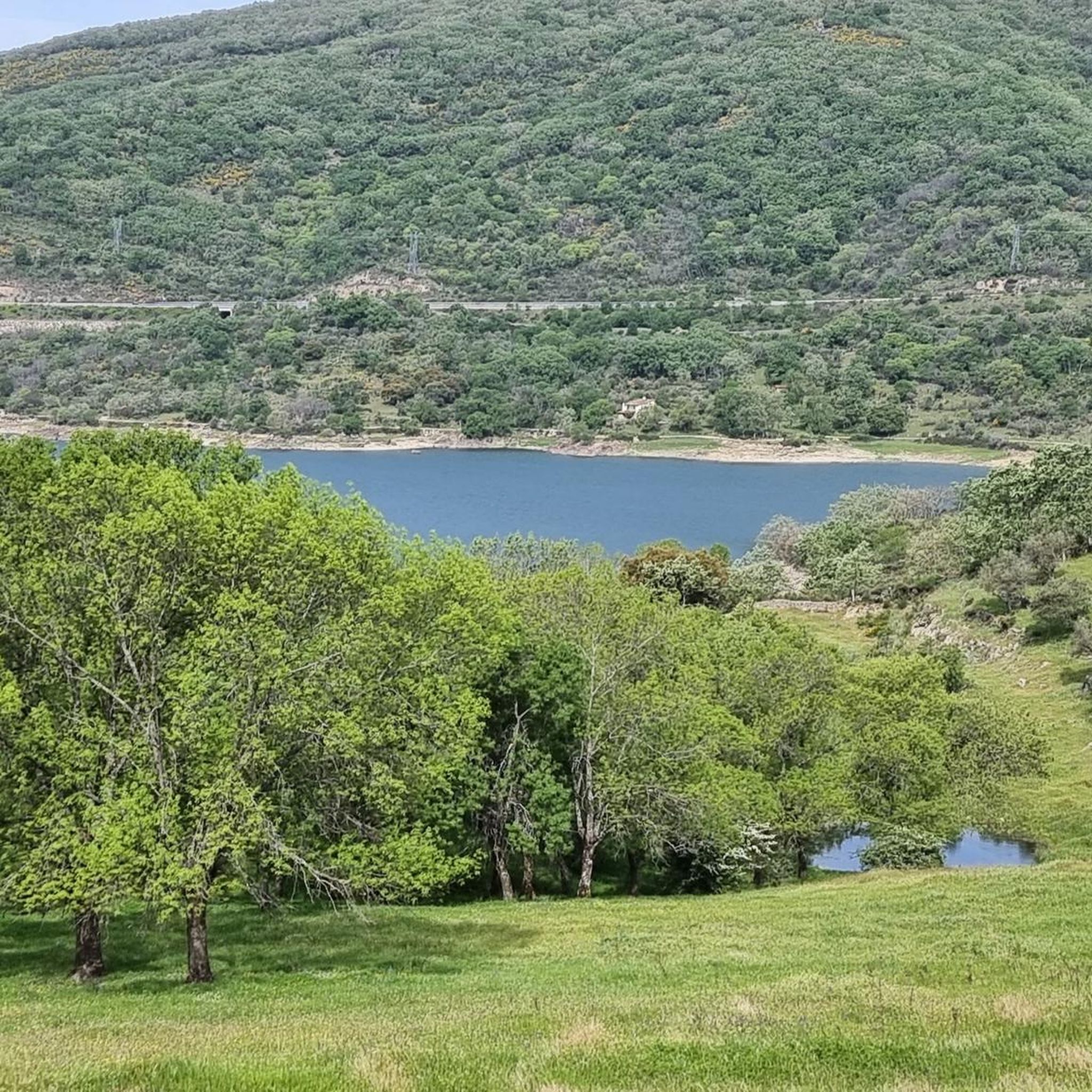
Jogging around Guijo De Ávila offers diverse landscapes and varied terrain in the Sierra de Béjar mountains. The region's elevated position provides panoramic views of the Central System and the Tormes River reservoir. Joggers can explore routes through wide forest landscapes, meadows, and holm oak groves, providing natural paths away from paved roads. The area features numerous rural paths and trails suitable for trail running, with options ranging from gentle gradients to more challenging elevation changes.
Best jogging routes around…
Last updated: July 17, 2026
4.0
(1)
4
runners
8.88km
00:56
80m
80m
Moderate run. Good fitness required. Mostly paved surfaces. Suitable for all skill levels.
5
runners
27.2km
03:02
520m
520m
Hard run. Very good fitness required. Mostly paved surfaces. Suitable for all skill levels.

Sign up for free
3
runners
15.9km
01:44
250m
240m
Hard run. Very good fitness required. Mostly paved surfaces. Suitable for all skill levels.
2
runners
7.48km
00:50
120m
120m
Moderate run. Good fitness required. Mostly paved surfaces. Suitable for all skill levels.
2
runners
10.3km
01:09
140m
140m
Moderate run. Good fitness required. Mostly paved surfaces. Suitable for all skill levels.
Get access to more routes and recommendations from other explorers.
Sign up for free
Already have an account?
Our route recommendations are based on thousands of hikes, rides, and runs completed by other people on komoot.
Start today with a free account
Your next adventure awaits.
Login or Signup



Tips from the Community

Between Puente del Congosto and Guijo de Ávila, the Cañada Real Soriana Occidental runs very close to the Tormes River, which makes the journey much more pleasant.
0
0

This is the tourist and gastronomic area of Guijuelo, considered the birthplace of acorn-fed Iberian ham with Protected Designation of Origin (PDO Guijuelo). More than 150 ham and cured meat producers are concentrated here. The cold, dry climate of the Sierra de Béjar favors a slow, natural curing process, giving the ham a sweeter, more unctuous flavor.
3
0

You cannot leave Guijuelo without eating its famous ham! The town is famous for the high quality of its hams and sausages from Iberian pigs. Although the meat comes largely from Extremadura and Andalusia, here it finds the perfect place for its curing, thanks to a characteristic cold and dry climate.
2
1

Frequently Asked Questions
How many running routes are available around Guijo de Ávila?
There are several dedicated running routes around Guijo de Ávila, offering diverse landscapes and varied terrain. Currently, komoot features 4 distinct jogging routes in the area, catering to different fitness levels.
What kind of terrain can I expect on the jogging routes in Guijo de Ávila?
Jogging routes in Guijo de Ávila primarily feature mountainous terrain, as the area is nestled in the Sierra de Béjar. You'll find paths winding through wide forest landscapes, meadows, and holm oak groves. Many routes are rural paths and trails, offering softer surfaces compared to paved roads, with options for both gentle gradients and significant elevation changes.
Are there running routes suitable for beginners or those looking for an easier jog?
Yes, there are moderate options available. For instance, the Guijuelo Jamón District loop from Antigua Estación de Guijuelo is a moderate 3.9-mile (6.2 km) trail that takes about 40 minutes to complete, offering a pleasant run through rural landscapes. Another moderate choice is the Jesús Route loop from Ledrada, which is 4.7 miles (7.5 km) and leads through forests and meadows.
What are the more challenging running options in the Guijo de Ávila area?
For experienced runners seeking a challenge, the La Charca – Cabecillo de los Dados loop from Fuentes de Béjar is a difficult 9.7-mile (15.6 km) path. This route features significant elevation changes and provides expansive views of the surrounding mountains, making it a demanding but rewarding experience.
Are there any circular running routes in Guijo de Ávila?
Yes, all the featured jogging routes in the area are circular. This includes the Guijuelo Jamón District loop, the challenging La Charca – Cabecillo de los Dados loop, and the scenic Jesús Route loop, allowing you to start and finish at the same point.
What natural features or viewpoints can I expect to see while running in Guijo de Ávila?
Guijo de Ávila's elevated position offers impressive panoramic views of the Central System, the Sierra de Béjar, the Sierra de Gredos, and the Tormes River reservoir. You'll also run through wide forest landscapes, meadows, and holm oak groves. Some routes, like the La Charca – Cabecillo de los Dados loop, are specifically noted for their expansive mountain views.
Are there any interesting landmarks or attractions near the running trails?
While jogging, you might encounter various points of interest. The Guijuelo Jamón District is a notable settlement nearby. Other attractions in the broader area include the historic Puente del Congosto and the beautiful Church of San Miguel Arcángel.
What do other runners enjoy most about jogging in Guijo de Ávila?
The area is highly rated by the komoot community, with an average score of 4.0 stars. Runners often praise the diverse landscapes, the tranquility of the rural environment, and the varied terrain that offers both physical challenge and breathtaking scenery, especially the panoramic views of the surrounding mountains and valleys.
Is Guijo de Ávila a good place for trail running?
Absolutely. The region is known for its numerous 'senderos' (paths) and 'rutas de senderismo' (hiking routes) which are well-suited for trail running. These established trails often feature varied terrain, from dirt paths to gravel tracks, winding through forests and meadows, providing an excellent environment for off-road running.
What is the best time of year to go jogging in Guijo de Ávila?
Guijo de Ávila offers beautiful scenery year-round. During the rainy seasons, you'll find wide and green forest landscapes. Its elevated position means it can be cooler in summer than lower-lying areas, making it pleasant for running. However, be mindful of potential snow in winter, especially on higher routes, as it's in the Sierra de Béjar mountains.
Are there any running routes near water features like rivers or reservoirs?
Yes, Guijo de Ávila is close to the Tormes River and the Santa Teresa reservoir. Areas around these water bodies often feature scenic paths. The natural swimming pool of the Tormes River at Puente del Congosto is a nearby attraction, suggesting accessible waterside routes that can be ideal for a steady run.
Most popular attractions around Guijo De Ávila

Get inspired with the komoot mobile app


Explore more
Browse the best Running Trails & Routes in other regions.
