The best running trails around Navas De Bureba
27
runners
14
runs
Jogging routes around Navas De Bureba offer diverse terrain within the province of Burgos, Castile y León. The region is characterized by its location at the foot of the Montes Obarenes and near Pico Pan Perdido, providing varied landscapes from valleys to mountainous paths. Natural parks, including Montes Obarenes-San Zadornil Natural Park, contribute to a network of trails suitable for running, alongside paths that follow old railway lines.
Best jogging routes around Navas De Bureba
- The most popular jogging route…
Last updated: August 30, 2026
14.6km
01:40
150m
150m
Jog the moderate 9.1-mile Frías and Ebro Natural Way Loop, featuring medieval architecture, river views, and 502 feet of elevation gain.
9.82km
01:25
390m
390m
A difficult 6.1-mile (9.8 km) jogging route in Montes Obarenes-San Zadornil Natural Park, featuring 1280 feet (390 metres) of elevation gain

Sign up for free
8
runners
12.3km
01:44
480m
490m
Hard run. Very good fitness required. Mostly paved surfaces. Suitable for all skill levels.
6
runners
Moderate run. Good fitness required. Mostly paved surfaces. Suitable for all skill levels.
5
runners
17.0km
02:09
500m
500m
Hard run. Very good fitness required. Mostly paved surfaces. Suitable for all skill levels.
Get access to more routes and recommendations from other explorers.
Sign up for free
Already have an account?
Our route recommendations are based on thousands of hikes, rides, and runs completed by other people on komoot.
Start today with a free account
Your next adventure awaits.
Login or Signup

Tips from the Community

The Castle of the Dukes of Frías was declared a Site of Cultural Interest on April 22, 1949. It is situated on a rocky promontory overlooking the town and almost the entire Tobalina Valley. The oldest surviving remains date from the late 12th and early 13th centuries, but most of what remains is from the 15th century. Visitors can explore the large parade ground, part of the curtain wall, and the rampart walk, and climb the keep. Opening hours are daily from 10:30 a.m. to 2:00 p.m. and from 4:00 p.m. to 7:30 p.m., and the entrance fee is €2.
0
0

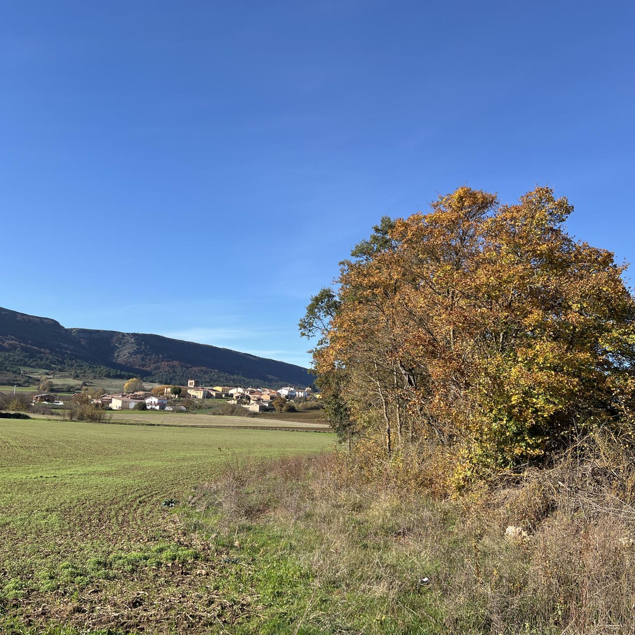
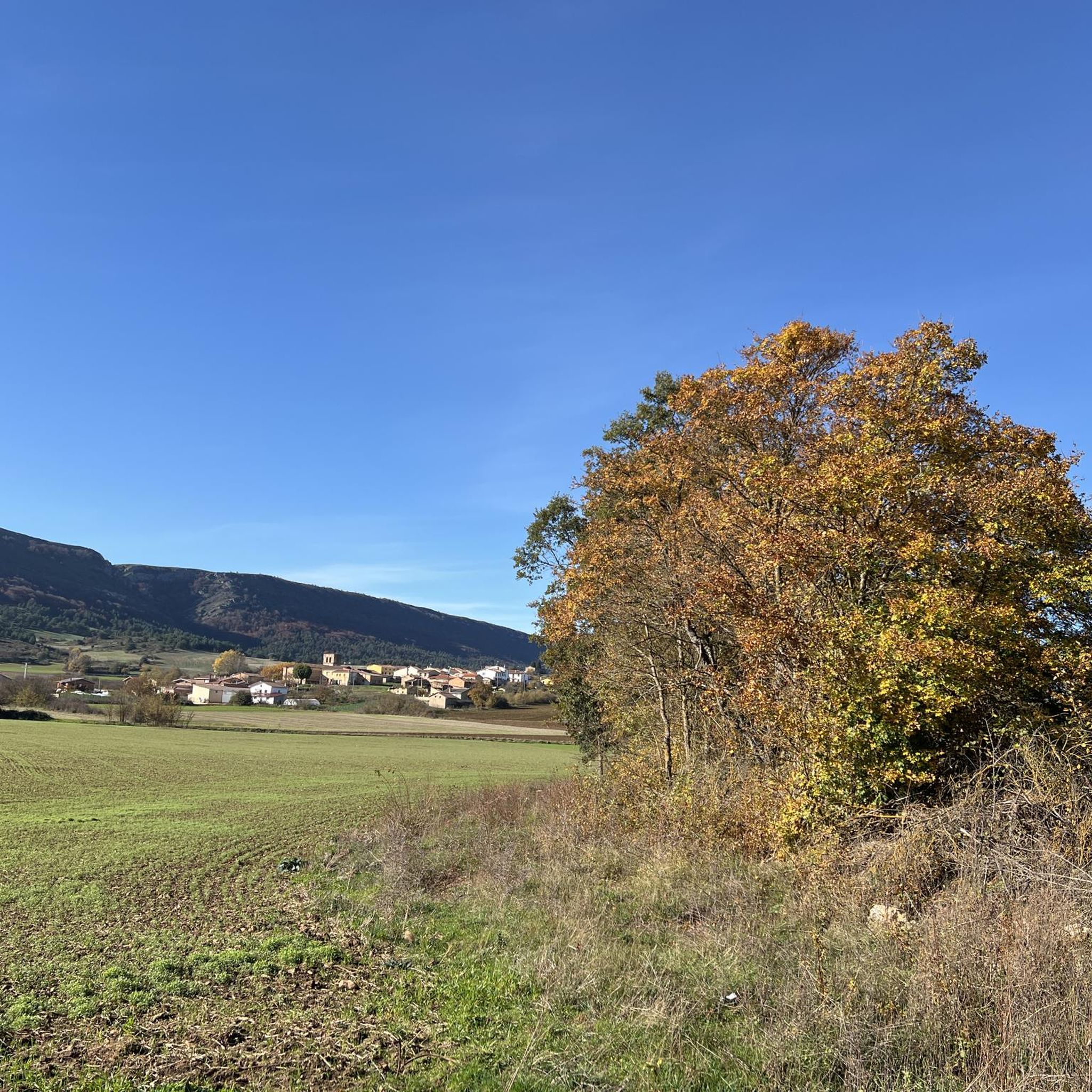
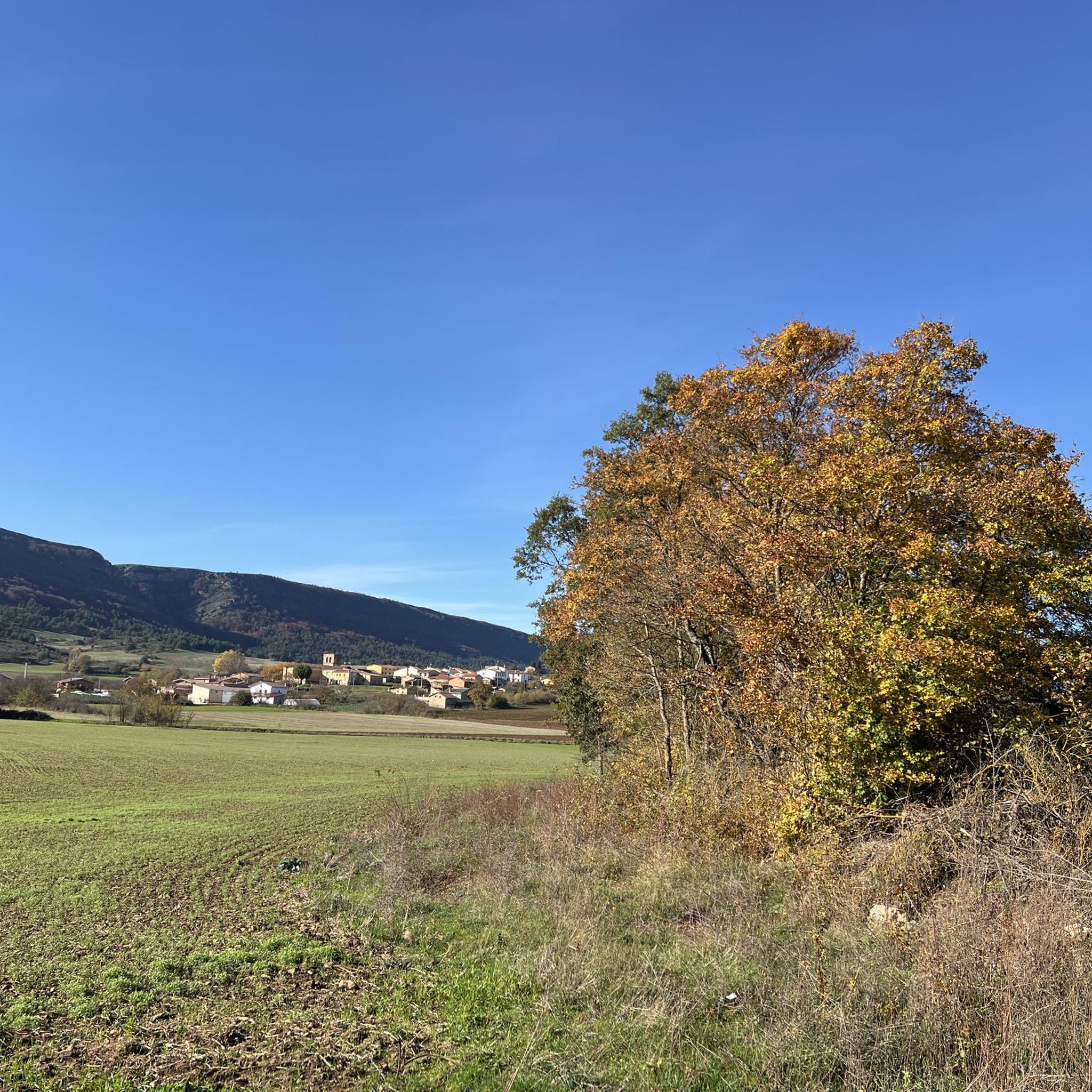
A true boundary between zones, crossed by a road, just at an altitude of 1,000 metres.
1
0
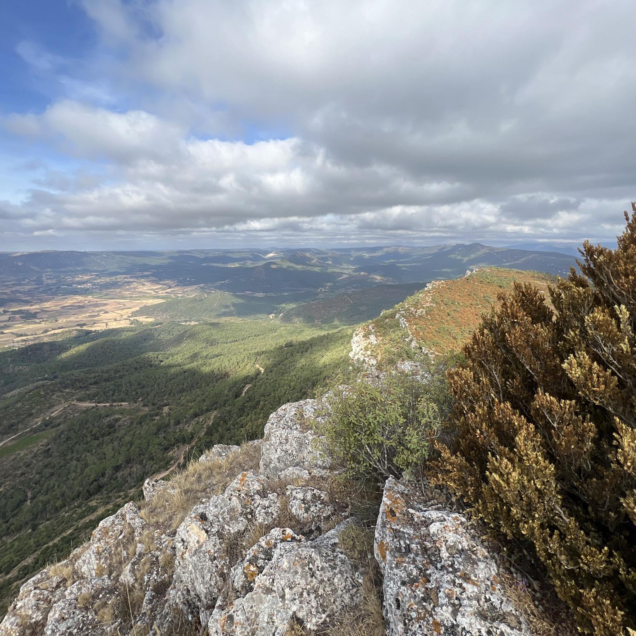
A delightful viewpoint of the entire Bureba area.
1
0

a highly recommended area for hiking.
0
0
A good route, coming from the south.
2
0

Impressive fortress that rises above the medieval town of Frías. Its imposing silhouette and walls evoke centuries of history and provide a panoramic view of the region. This castle, declared an Asset of Cultural Interest, is an architectural treasure that invites you to immerse yourself in the past and enjoy its beauty and grandeur.
1
0
The Parroquia El Salvador, originally part of the Monastery of San Salvador, became an independent parish after the confiscation. The temple preserves Romanesque elements on the walls of the nave and some windows. In its Romanesque portico, completed in 1072, there are paintings in its 15th-century vault. From the outside it stands out for its imposing staircases that create an effect of majesty.
1
0
Nice stretch of greenway with privileged views of the Oña Gorge. The path runs parallel to the river and has no difficulty as it is completely flat terrain. On the way you have to pass a couple of tunnels.
1
0
Frequently Asked Questions
What kind of terrain can I expect on running routes around Navas De Bureba?
The region offers a diverse range of terrain for runners. You'll find everything from gentle riverside paths along the Ebro River to more challenging mountainous trails within the Montes Obarenes-San Zadornil Natural Park. The area is characterized by its location at the foot of the Montes Obarenes and near Pico Pan Perdido, providing varied landscapes from valleys to prominent peaks.
Are there running routes suitable for beginners in Navas De Bureba?
While some routes are quite challenging, there are options for various ability levels. For a more moderate experience, consider routes like the Town of Frías — circular by the Ebro River, which offers scenic riverside paths. The area also features paths along old railway lines, such as sections of the Camino Natural Santander-Mediterráneo, which are generally flatter and more accessible for leisurely runs.
How challenging are the running trails in the Montes Obarenes-San Zadornil Natural Park?
Running trails within the Montes Obarenes-San Zadornil Natural Park can be quite challenging, featuring significant elevation changes and mountainous paths. For example, the Climb to El Cueto and Poyos - through the Sierra de Oña is a difficult route with substantial ascents. Similarly, the Navas, Alto de – Pan Perdido loop from Navas de Bureba involves over 500 meters of elevation gain, making it suitable for experienced trail runners.
What natural features or landmarks can I see while running in the area?
The region is rich in natural beauty and historical landmarks. You can encounter prominent peaks like El Cueto and the Summit of Pan Perdido, especially on routes within the Montes Obarenes-San Zadornil Natural Park. Historical sites such as the Frías Castle and Frías Medieval Bridge are also accessible on certain routes, offering a blend of nature and culture.
Are there any routes that offer panoramic views?
Yes, several routes provide breathtaking panoramic views, especially those that ascend to higher elevations. The ascent to Pico Pan Perdido, for instance, is known for offering spectacular vistas. The Climb to El Cueto and Poyos route also takes you through the Sierra de Oña, where you can expect expansive views of the surrounding natural park.
Is parking available at the trailheads for these running routes?
While specific parking details for every trailhead are not provided, Navas de Bureba and nearby towns typically offer parking options. For routes starting from towns like Frías or Oña, you can usually find parking within the village or at designated areas near popular attractions. It's advisable to check local signage upon arrival.
Do I need any permits to run in the Montes Obarenes-San Zadornil Natural Park?
Generally, no specific permits are required for recreational activities like jogging on established trails within the Montes Obarenes-San Zadornil Natural Park. However, it's always good practice to respect local regulations, stay on marked paths, and be mindful of wildlife and the natural environment.
What is the best time of year for running in Navas De Bureba?
The spring and autumn months are generally ideal for running in Navas de Bureba. During these seasons, the weather is typically milder and more pleasant, making for comfortable conditions on the trails. Summer can be quite warm, especially at midday, while winter might bring colder temperatures and potentially snow in higher elevations.
Are there any circular running routes available?
Yes, there are several excellent circular running routes. A popular choice is the Town of Frías — circular by the Ebro River, offering a scenic loop. Another option is the challenging Climb to El Cueto and Poyos - through the Sierra de Oña, which is also a circular route within the natural park. For those seeking a significant challenge, the Navas, Alto de – Pan Perdido loop from Navas de Bureba provides a demanding circular experience.
Can I find family-friendly running trails in the Navas De Bureba area?
While some routes are quite strenuous, the region does offer more accessible paths that could be suitable for families. Look for sections of the Camino Natural Santander-Mediterráneo, which follows old railway lines and provides relatively flat, well-conditioned routes. These paths are generally good for walking, cycling, and leisurely jogging, making them a good option for families.
Are dogs allowed on the running trails around Navas De Bureba?
Many outdoor trails in Spain, especially in natural parks, are generally dog-friendly, provided dogs are kept under control, preferably on a leash, and owners clean up after them. It's always recommended to check specific park regulations or local signage, particularly in protected areas like the Montes Obarenes-San Zadornil Natural Park, to ensure compliance.
What is the typical length of running trails near Navas De Bureba?
The running trails in the area vary significantly in length. You can find shorter loops, such as the Frías Castle – Frías Medieval Bridge loop from Frías, which is about 8 km (5 miles). Longer and more challenging routes, like the Mesa de Oña – Gruta de San Jorge loop from Oña, can extend to over 18 km (11 miles), offering options for different endurance levels.
What do other runners enjoy the most about jogging in Navas De Bureba?
Runners frequently praise the diverse landscapes and the sense of immersion in nature. The combination of riverside paths, historical landmarks, and challenging mountain ascents within the Montes Obarenes-San Zadornil Natural Park provides a varied and rewarding experience. The opportunity to explore both natural beauty and cultural heritage is a significant draw for many.
Most popular routes around Navas De Bureba
Most popular attractions around Navas De Bureba

Get inspired with the komoot mobile app


Explore more
Browse the best Running Trails & Routes in other regions.
