Top 11 Mountain Passes around Santorso
Mountain passes around Santorso, a town in Italy's Vicenza province, are characterized by mountainous terrain and elevated trails. The region offers panoramic views, challenging ascents, and historical points of interest. These areas provide experiences similar to traditional mountain passes, featuring dramatic scenery and opportunities for outdoor activity. Santorso's surroundings include various trails that traverse these mountainous landscapes.
Best mountain passes around Santorso
- The most popular mountain passes is Bocchetta Paù Viewpoint, a viewpoint that offers panoramic views of the…
Last updated: June 26, 2026
Camonda Pass
Highlight • Mountain Pass
Translated by Google •
Tip by

Passo del Mucchione
Highlight (Segment) • Mountain Pass
Translated by Google •
Tip by

Sign up now to discover places like this
Get recommendations on the best single tracks, peaks, & plenty of other exciting outdoor places.
Sign up for free
Zovo Pass
Highlight • Mountain Pass
Translated by Google •
Tip by

Bocchetta Paù Viewpoint
Highlight • Viewpoint
Translated by Google •
Tip by

Valli del Pasubio
Highlight • Settlement
Translated by Google •
Tip by

Sign up for free to discover even more mountain passes around Santorso.
Sign up for free
Already have an account?
Start today with a free account
Your next adventure awaits.
Login or Signup


Tips from the Community

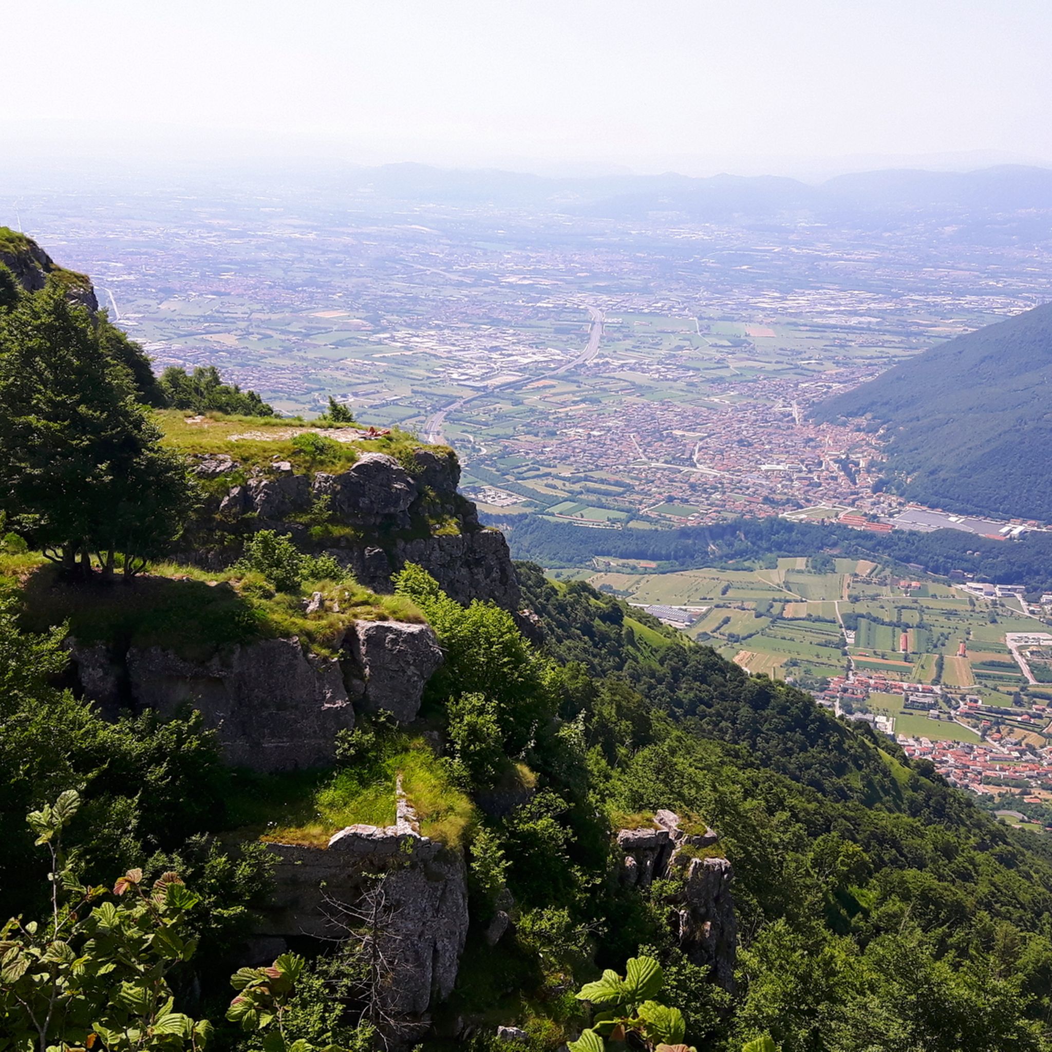
The Passo della Camonda shrine is in effect a refuge used by merchants and wayfarers who traveled from the Agno Valley to the Leogra Valley. The pass was also one of the strongholds of the Italian defensive line during the First World War.
0
0

Rocoli Path to the Mucchione Church
2
0
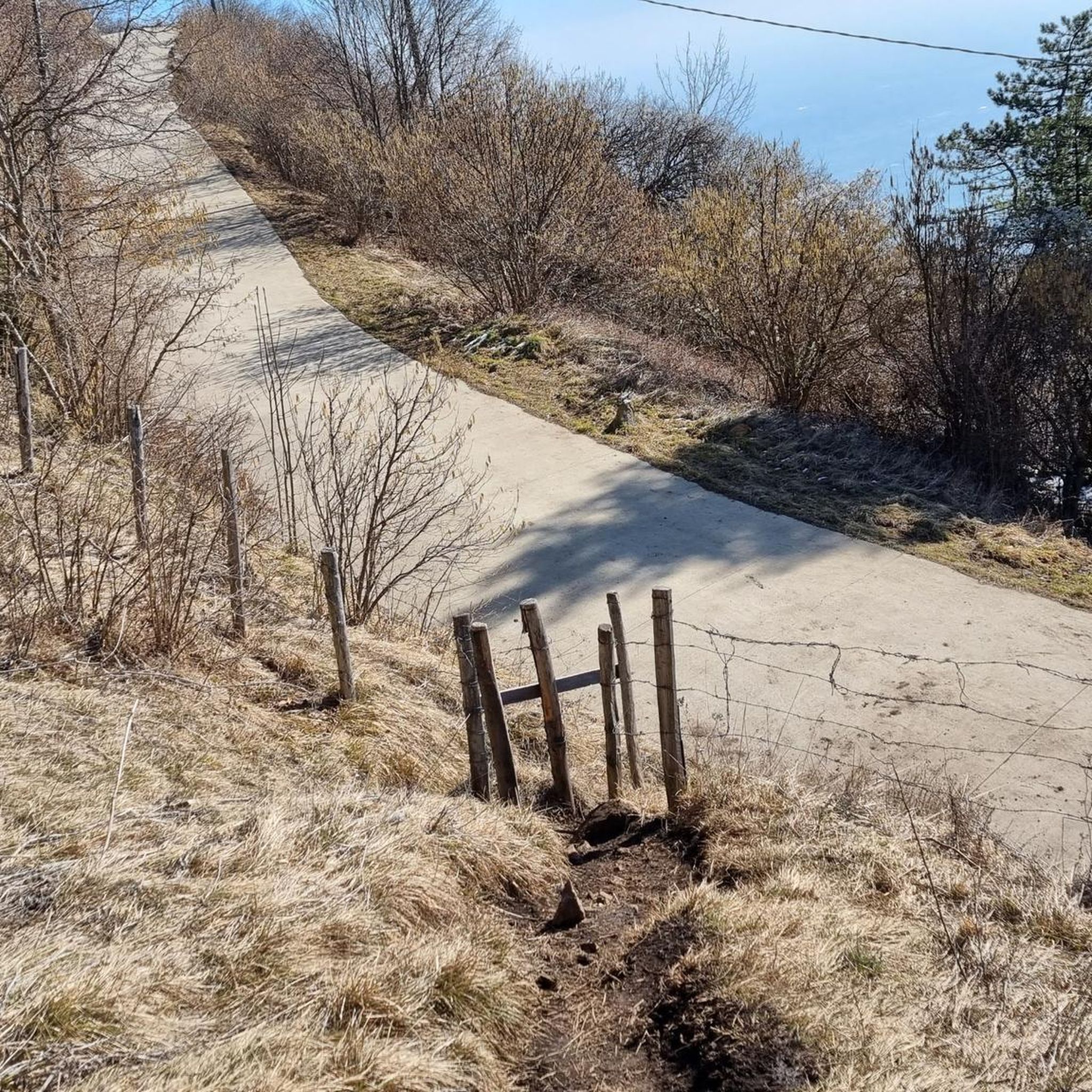
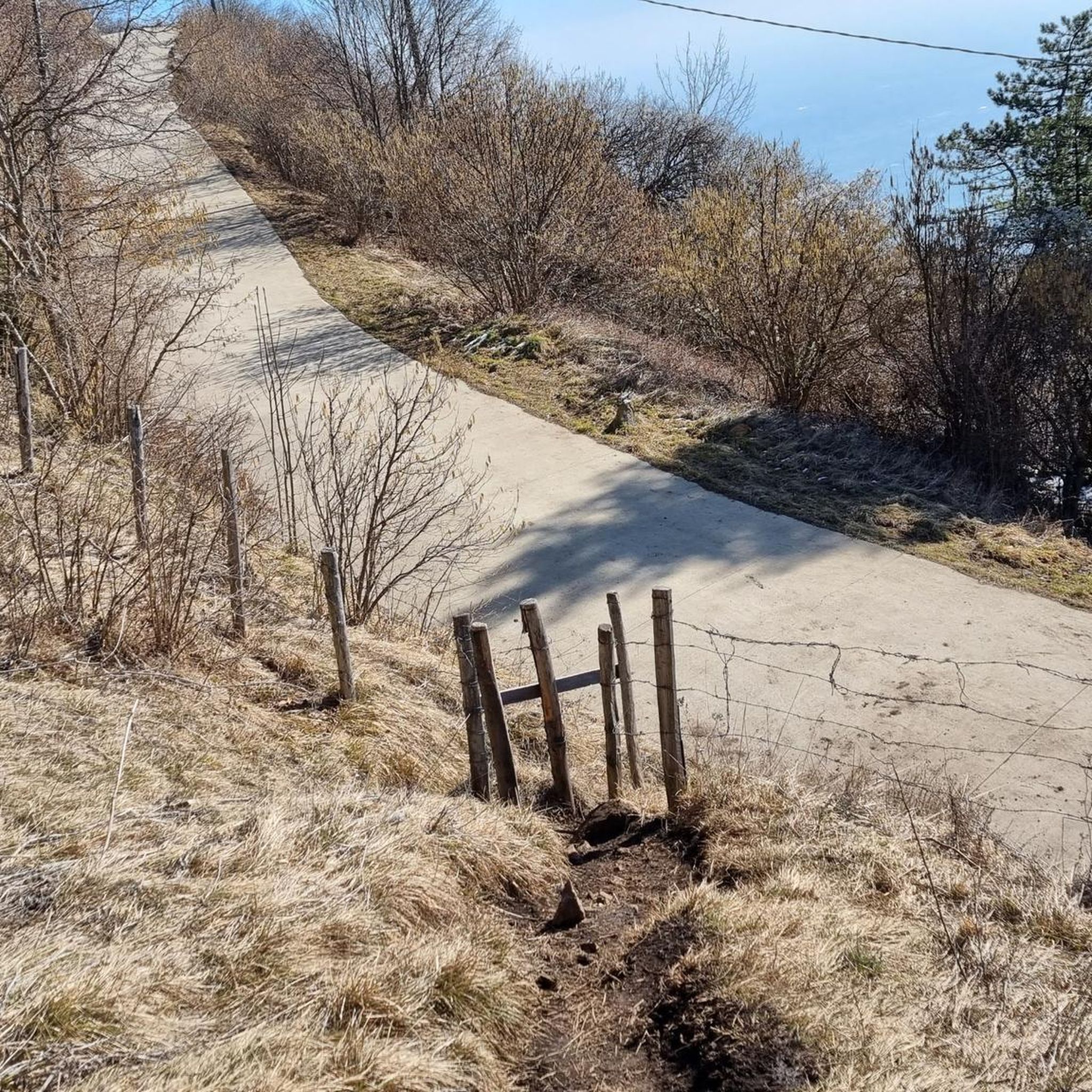
Camonda Pass route leading to Busellati district
0
0
Strategic area as a starting point for many trails
0
0

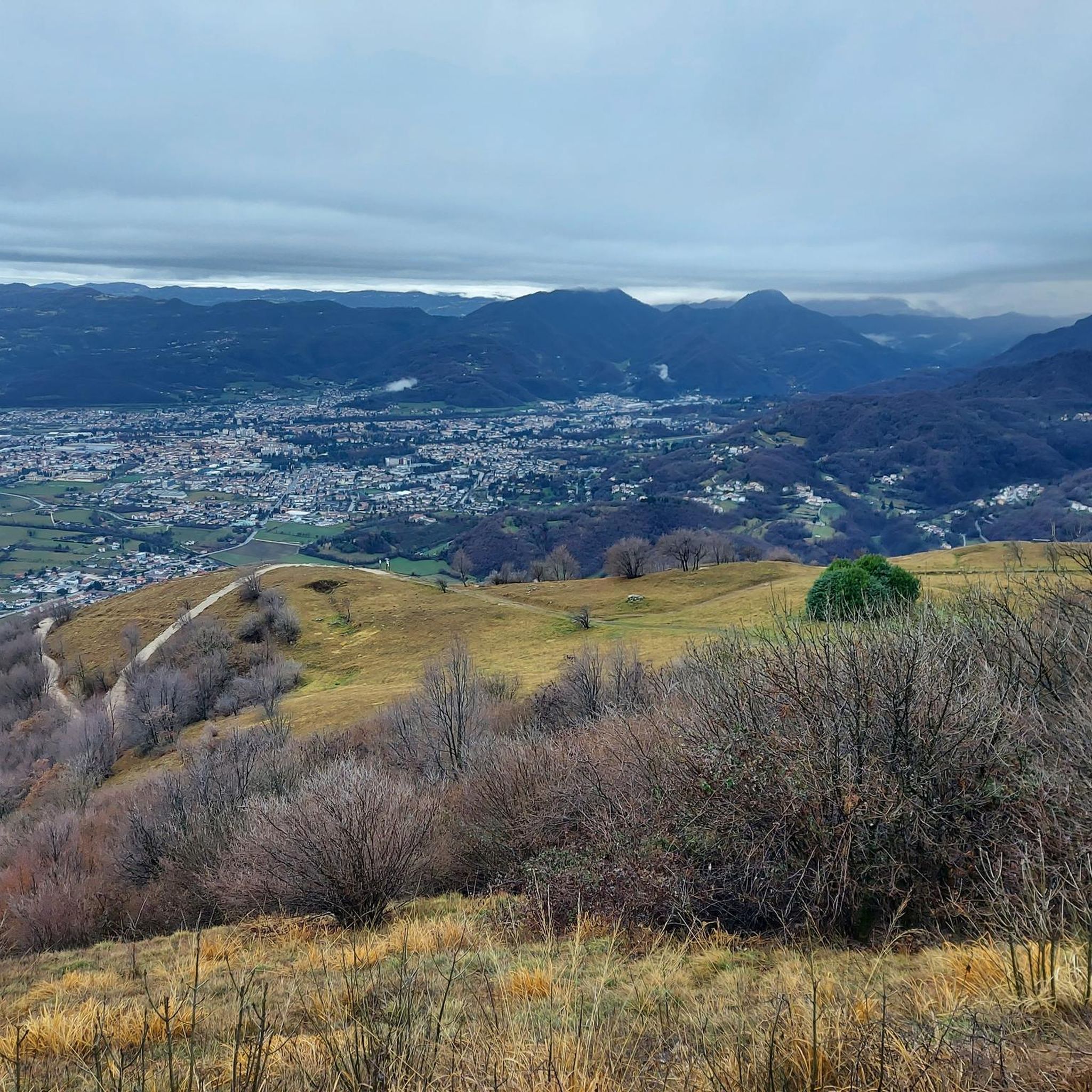
Panoramic view, breathtaking
2
1


Slightly challenging climb, more from the Valdagno side where the slope is more noticeable, however nothing impossible
0
0

The Camonda Pass where the characteristic capital is located can be reached in about ten minutes from the SP246 road which from the hamlet of Bonomini (Recoaro) leads to Rovegliana (from here just follow the signs for Contrada Camonda). Camonda Pass. Historical reference The Orthogonal strategic line 1, which from Campogrosso continued with a linear trend on the watershed between the Agno and Leogra valleys, was characterized by the strongholds of Cucco Moro, Some and Locchetta and on the Camonda pass, was part of the complex defensive system of Monte Civillina – Monte Cengio. This line, following the directives of Gen. Cadorna, Chief of Staff of the Army, was abandoned and replaced in the spring of 1917 with two vertical lines: the Sentinello further south and the one from the Camonda Pass to the top of the stronghold, inserted in the new Orthogonal 1; both were equipped with machine gun positions in the cave and served by two comfortable mule tracks. A third mule track went up the eastern side of the mountain from the Manfron pass, close to the Civillina – Monte Cengio line.
0
0
Frequently Asked Questions
What kind of natural features can I expect to see around Santorso's mountain passes?
The region around Santorso offers diverse natural beauty. You'll find expansive panoramic views, especially from summits like Mount Summano, which overlooks the Vicenza Valley, Val d'Astico, Asiago Plateau, and Euganean Hills. Many trails traverse wooded areas and ridges, providing scenic landscapes. Highlights like Passo del Mucchione are nestled within forests, offering a tranquil experience.
Are there any historical sites or cultural points of interest near the mountain passes?
Yes, Santorso's mountain areas are rich in history. Mount Summano features the "Via Crucis to Santuario Santa Maria del Summano," a pilgrimage trail leading to a mountaintop sanctuary. The area of Mount Cengio and Grenadier's Leap is significant for its World War I history, including the "Galleria Cannoniera del Monte Cengio." Camonda Pass is also a historical place, known as a passage for merchants between valleys.
Are there family-friendly mountain walks or passes around Santorso?
Yes, some areas are suitable for families. Zovo Pass is noted as family-friendly and offers facilities like a restaurant and parking. The "Itinerary of the Fountains" is an easier 8.5-kilometer loop trail that connects historic fountains, offering a pleasant walk through nature and local traditions, suitable for families.
What outdoor activities can I do near these mountain passes?
The mountainous terrain around Santorso is ideal for various outdoor activities. You can enjoy extensive hiking and trekking, with trails like the "Summano Ridge Trail" and the "Gyrolimini Trail." For cycling enthusiasts, there are numerous options for gravel biking and mountain biking. You can explore more routes in the Gravel biking around Santorso and MTB Trails around Santorso guides, or find mountain hikes in the Mountain Hikes around Santorso guide.
Are there easy hiking routes for beginners in the Santorso area?
While many routes offer challenging ascents, there are easier options. The "Itinerary of the Fountains" is an 8.5-kilometer loop trail considered easier, connecting the town's historic fountains. For those looking for a moderately trained hike, the "Gyrolimini Trail" ascends to the Sanctuary Madonna del Summano along a traditional mule track, offering great views without extreme difficulty.
What is the best time of year to hike the mountain passes around Santorso?
Generally, spring and autumn offer the most pleasant conditions for hiking in the Santorso area, with milder temperatures and beautiful scenery. Summer can also be good, especially in the mornings or late afternoons, but be prepared for warmer weather. Winter can be challenging due to snow and ice at higher elevations, though some lower trails might still be accessible.
Where can I find the best panoramic viewpoints?
Mount Summano is renowned for its expansive panoramic views across the Vicenza Valley, Val d'Astico, Asiago Plateau, and Euganean Hills. The Grenadier's Leap on Mount Cengio also offers a spectacular outlook over the Astico Valley. Additionally, Bocchetta Paù Viewpoint provides stunning views of the Valdastico and the plain, particularly appreciated by visitors.
Are there any circular walks or loop trails in the Santorso mountain area?
Yes, the region offers several loop trails. The "Itinerary of the Fountains" is an 8.5-kilometer loop trail. For more challenging options, you can find various loop routes for mountain hikes, gravel biking, and MTB in the nearby guides, such as the "Cima Summano loop from Piovene Rocchette" or the "Monte Cengio – Osservatorio loop from Monte Cengio" listed in the Mountain Hikes around Santorso guide.
What do visitors enjoy most about the mountain passes around Santorso?
Visitors particularly enjoy the combination of natural beauty, historical significance, and the opportunities for invigorating outdoor activity. The magnificent mountain panoramas, especially from spots like Xon Pass with its views of the Little Dolomites, are highly praised. The historical resonance of sites like Bocchetta Paù and the challenging yet rewarding climbs also contribute to a memorable experience.
Are there facilities like restaurants or parking available at any of the passes?
Yes, some passes offer convenient facilities. Zovo Pass, for instance, is known for having a restaurant and ample parking nearby, making it a good spot to cool off after an excursion. Other areas may have facilities in nearby towns or at specific sanctuaries.
Can I bring my dog on the hiking trails in the Santorso mountains?
Many trails in the Santorso area are generally dog-friendly, allowing you to enjoy the outdoors with your canine companion. However, it's always advisable to keep your dog on a leash, especially in areas with wildlife or livestock, and to check for any specific local regulations or restrictions on certain paths or protected areas before you go.
Most popular routes around Santorso
Most popular attractions around Santorso

Get inspired with the komoot mobile app


Explore more
See even more epic mountain passes by checking out these guides around Santorso:
