Top 6 Mountain Passes around La Chaudière
Best mountain passes around La Chaudière, located in Drôme, France, offer diverse landscapes for outdoor activities. This region features scenic hiking trails and cycling routes that traverse notable passes. The area connects distinct environments, from river valleys and lavender fields to gorges and dramatic cliffs. It provides opportunities to explore mountain scenery and local heritage.
Best mountain passes around La Chaudière
- The most popular mountain passes is Col de Pennes, a mountain pass that features a narrow, quiet road…
Last updated: July 10, 2026
Col de Pennes
Highlight • Mountain Pass
Translated by Google •
Tip by

Col de la Chaudière
Highlight • Mountain Pass
Translated by Google •
Tip by

Sign up now to discover places like this
Get recommendations on the best single tracks, peaks, & plenty of other exciting outdoor places.
Sign up for free
Col de Bard (1051 m) – Forêt de Saoû
Highlight • Mountain Pass
Translated by Google •
Tip by

Travard Pass
Highlight • Viewpoint
Translated by Google •
Tip by

Guillens Pass (802 m)
Highlight • Mountain Pass
Translated by Google •
Tip by

Sign up for free to discover even more mountain passes around La Chaudière.
Sign up for free
Already have an account?
Start today with a free account
Your next adventure awaits.
Login or Signup

Other adventures around La Chaudière

Tips from the Community

A beautiful little pass under the gaze of the three beaks
0
1

The Saoû forest is not only a forest complex. It is also a magnificent mountain range of 2,500 hectares. It is a remarkable natural setting in the Drôme.
0
0

There is a small climb from Pradelle and then you reach a pass.
4
0

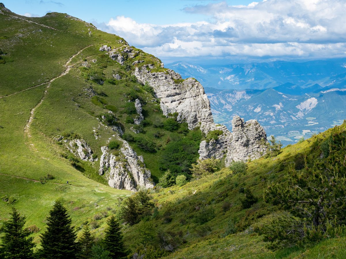
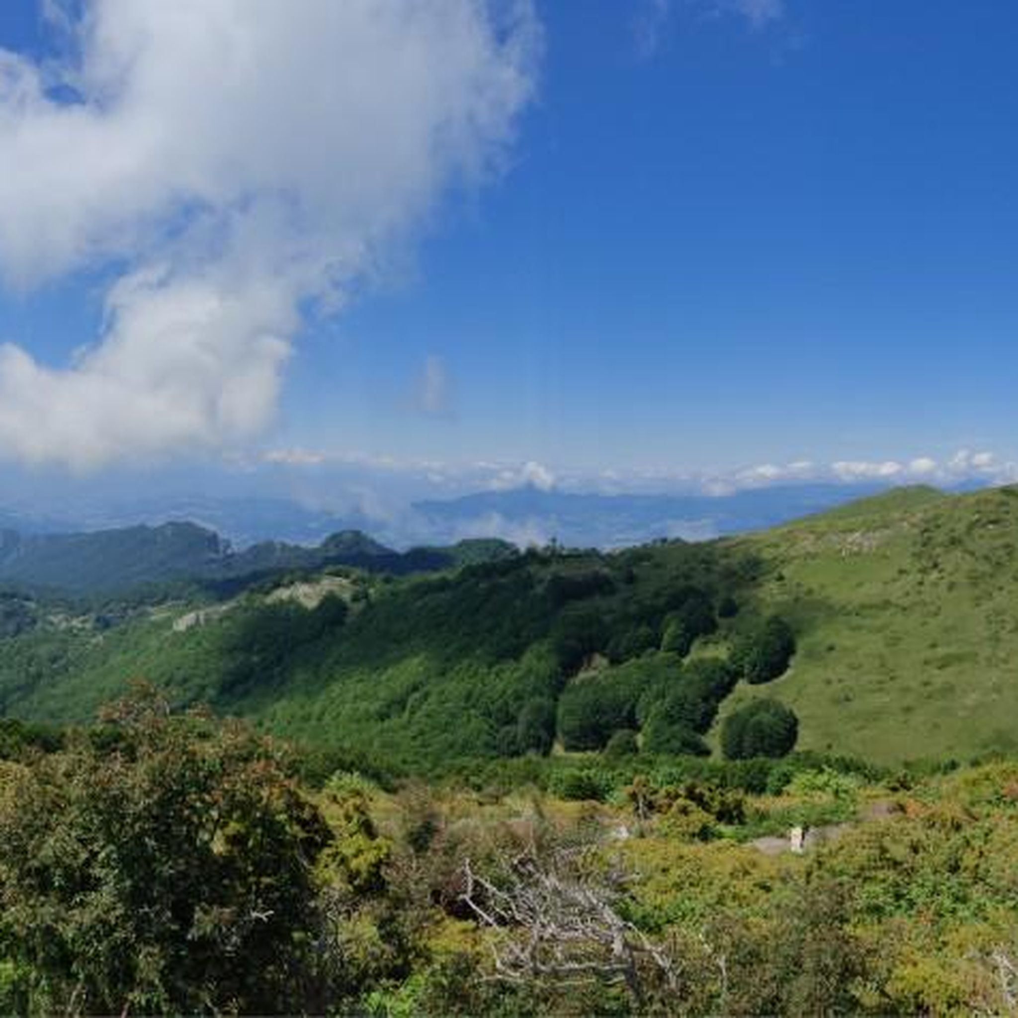
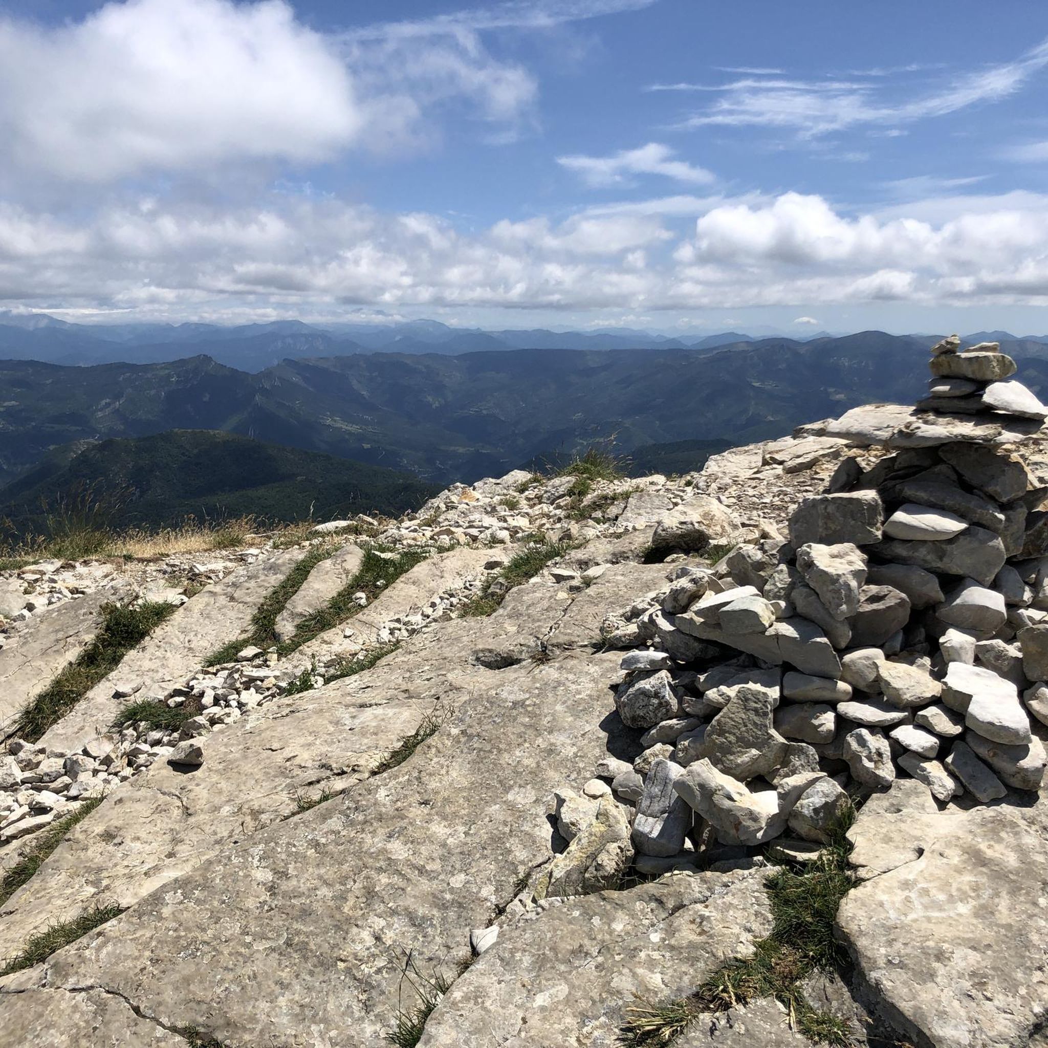
Located just under the Trois Becs, the Col de la Chaudière peaks at an altitude of 1,047 meters. It offers a clear view of the Drôme Provençale. The climb is gradual on both sides, whether from the Saillan side or from Bourdeaux.
2
0

You can also find a 1000er in the area
0
0
A little col that you can take with you in this beautiful area
0
0

The Col des Guillens from Saint-Nazaire-le-Désert is 3.9 km long with a total drop of 234 m. The average gradient is 6.1% with maximum gradients of 8.5%.
2
0

Gorgeous collar! The road is narrow but very quiet. The slope sometimes reaches 10% and you still need to be in good physical condition to climb it by bike.
0
0
Frequently Asked Questions
What are the most popular mountain passes around La Chaudière?
The most popular mountain pass is Col de Pennes, known for its narrow, quiet road and gradients up to 10%. Other highly regarded passes include Travard Pass, a scenic viewpoint, and Guillens Pass (802 m), which features an average gradient of 6.1%.
What kind of views can I expect from the mountain passes in La Chaudière?
Many passes offer magnificent panoramic views. For instance, Col de Pennes provides great views between the Drome and Roanne valleys. Col de Muse (932 m) is also noted for its magnificent vistas, and Col Jeannin offers a superb view of the Roanne valley below.
Are there challenging mountain passes for experienced cyclists?
Yes, several passes offer a good challenge. Col de Pennes has gradients up to 10% and requires good physical condition to climb by bike. Guillens Pass (802 m) also presents a notable climb with an average gradient of 6.1% over 3.9 km.
What outdoor activities can I do near these mountain passes?
The region around La Chaudière is excellent for various outdoor activities. You can find numerous routes for cycling, including challenging road cycling tours like the 'Col de Pennes (1040m) – Descent of Col de Pennes loop'. There are also extensive MTB trails and gravel biking routes, such as the 'Drôme Forest Trail loop' or the 'Col de la Chaudière loop'.
Are there specific routes for road cycling near the mountain passes?
Absolutely. The area is well-suited for road cycling. You can explore routes like the 'Crest Tower – Saillans Village Center loop' or the more challenging 'Roanne Gorges – Saint-Nazaire-le-Désert loop'. For a significant climb, consider the 'Col de Pennes (1040m) – Descent of Col de Pennes loop' which is a difficult 52 km ride. Find more options in the Cycling around La Chaudière guide.
What do visitors enjoy most about the mountain passes in La Chaudière?
Visitors frequently praise the quiet, narrow roads, the challenging climbs, and the stunning views. Many appreciate the feeling of being in a small alpine pass, with good asphalt for cycling and opportunities to explore between the Drome and Roanne valleys. The natural beauty and tranquility are often highlighted.
Are there any quiet or less-trafficked passes for a peaceful experience?
Yes, Col de Pennes is described as having a narrow but very quiet road, making it ideal for a peaceful ascent. Col de Muse (932 m) is also noted as a small, quiet pass perfect for leisurely exploration.
Can I find forest paths or trails near the mountain passes?
Yes, Col Jeannin is accessible by a forest path, offering a magnificent view of the Roanne valley. The region also features various MTB trails that often traverse forested areas, such as the 'Drôme Forest Trail loop'.
What is the elevation of some of the notable passes?
The highest pass mentioned is Col de Pennes at 1040 meters. Other significant elevations include Col de Muse at 932 meters and Guillens Pass at 802 meters.
Are there any passes that are particularly good for viewpoints?
Many passes offer excellent viewpoints. Travard Pass is specifically categorized as a viewpoint and mountain pass. Additionally, Col de Muse (932 m) and Col Jeannin are highlighted for their magnificent views.
What kind of terrain can I expect on the mountain passes?
The terrain varies but generally includes narrow roads, sometimes with steep gradients, and good asphalt, especially for cycling. Some passes, like Col Jeannin, are accessible via forest paths, indicating a mix of paved and unpaved surfaces depending on the specific route you choose.
Most popular routes around La Chaudière
Most popular attractions around La Chaudière

Get inspired with the komoot mobile app


Explore more
See even more epic mountain passes by checking out these guides around La Chaudière:
