The best road cycling routes in Itasca County
4.0
(1)
48
riders
5
rides
Road cycling routes in Itasca County traverse a landscape characterized by over 1,000 lakes, vast public forest lands, and diverse tree species. The region features well-paved surfaces and dedicated multi-use trails, including segments of the Mesabi Trail. Elevation changes are generally moderate, with some longer routes offering more significant climbs.
Best road cycling routes in Itasca County
- The most popular road cycling route is Grand Rapids – Grand Rapids loop from Bovey, a 29.8 miles (47.9 km) trail that…
Last updated: July 20, 2026
16
riders
103km
05:17
570m
570m
Hard road ride. Very good fitness required. Mostly well-paved surfaces and easy to ride.
11
riders
58.0km
03:10
390m
390m
Moderate road ride. Good fitness required. Mostly well-paved surfaces and easy to ride.

Sign up for free
4.0
(1)
6
riders
20.5km
01:09
140m
140m
Easy road ride. Great for any fitness level. Mostly well-paved surfaces and easy to ride.
6
riders
125km
06:31
630m
630m
Hard road ride. Very good fitness required. Some segments of this route may be unpaved and difficult to ride.
4
riders
42.8km
01:49
240m
240m
Moderate road ride. Great for any fitness level. Some segments of this route may be unpaved and difficult to ride.
Our route recommendations are based on thousands of hikes, rides, and runs completed by other people on komoot.
Start today with a free account
Your next adventure awaits.
Login or Signup
Popular around Itasca County


Tips from the Community

While on the Mesabi Trail, pass under this US Steel Pipeline Bridge crossing Highway 169. This pipeline echoes the iron-rich industrial past that is visible throughout this area. Another notable, and invisible, event here is that the ground under Highway 169 has been slowly slumping due to century-old underground iron mines. In 2008, MnDOT, as a preemptive safety measure, constructed a $7.4 million reinforced concrete structure to keep this roadway safe from cave-ins.
0
0
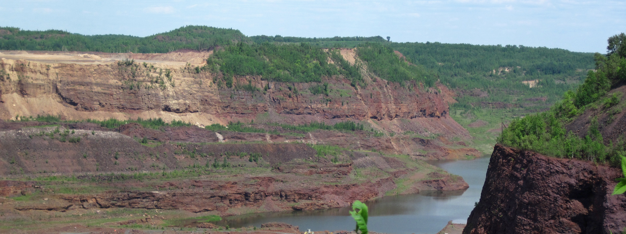
Hill Annex Mine State Park has picnic benches, grills, a covered picnic area, and restrooms. If you head to the most northern end of the park, you can get a great view of the Hill Annex Mine Lake.
0
0
Along the Mesabi Trail you can catch glimpses of the Iron Range Railroad Bridge, one of a few historic railroad bridges that played an important role in the region's iron ore mining industry. Built in the early 20th century, tons of iron ore were taken from the Mesabi Range to ports on Lake Superior.
0
0
The Mesabi Trail hugs a segment of the Prairie River, boasting views of red iron-rich hills around it. The river looks great today, considering that in 1991, Enbridge Line 3 pipeline burst and resulted in the largest inland oil spill in U.S. history, releasing about 1.7 million gallons of oil into the area, including the Prairie River.
0
0
The western terminus of the Mesabi Trail in Grand Rapids marks the beginning of a popular paved multi-use path. From here, the trail stretches northeast for over 160 miles, eventually reaching the town of Ely near the Boundary Waters.
1
0

This is the western terminus of the Mesabi Trail that eventually. will run all the way from Grand Rapids to Ely.
4
0
Frequently Asked Questions
How many road cycling routes are available in Itasca County?
There are currently 5 road cycling routes available in Itasca County, ranging from easy to difficult, ensuring options for various skill levels.
What is the best time of year for road cycling in Itasca County?
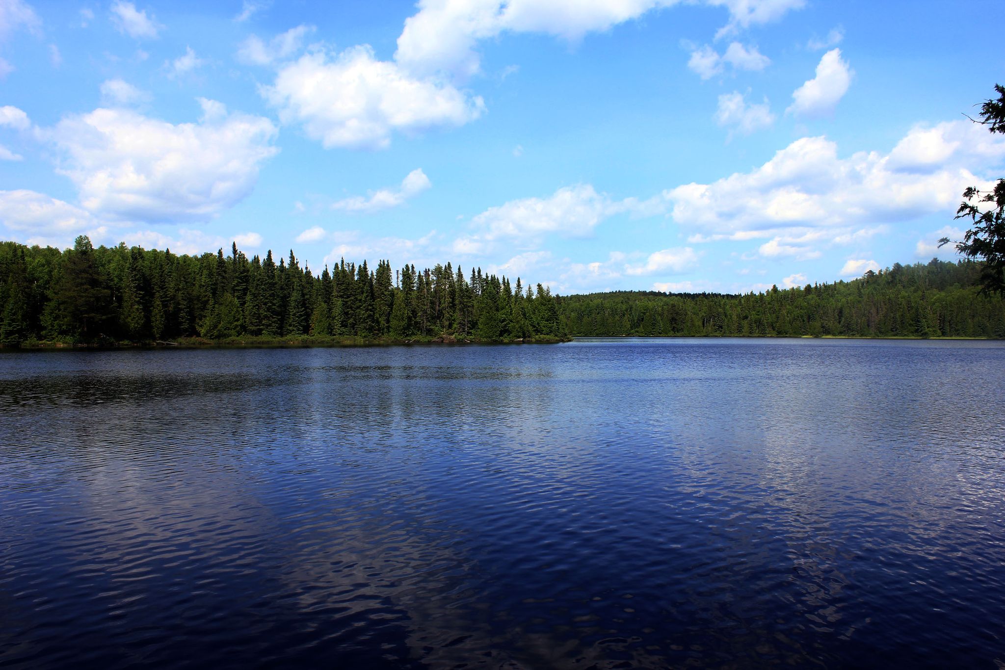
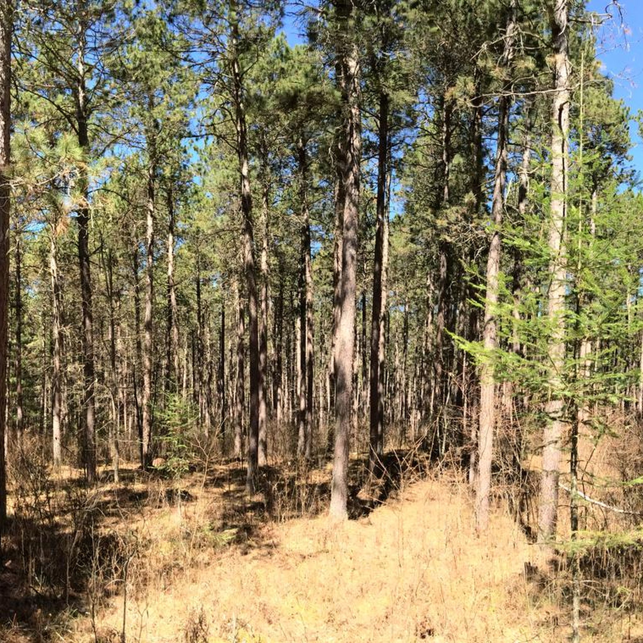
The best time for road cycling in Itasca County is typically from late spring through early fall. The region's diverse forests, including aspen, birch, pine, and maple, are particularly stunning during the fall season, offering beautiful scenery for your rides.
What are the general difficulty levels of road cycling routes in Itasca County?
Itasca County offers a range of road cycling routes to suit different abilities. You'll find 1 easy route, 3 moderate routes, and 1 difficult route, providing options whether you're looking for a relaxed ride or a more challenging adventure.
What do other road cyclists enjoy most about road cycling in Itasca County?
The area is highly rated by the komoot community, with an average score of 4.0 stars. Reviewers often praise the scenic beauty, particularly routes that pass by the region's numerous lakes and through its dense forests.
Are there any long-distance paved trails suitable for road cycling in Itasca County?
Yes, Itasca County is home to segments of the impressive Mesabi Trail, a paved multi-use trail stretching over 160 miles. Within the county, you can find sections like the 13 miles from Grand Rapids to Taconite. Additionally, the Itasca Bike Trail offers a seven-mile bituminous path from Grand Rapids north to Gunn County Park.
Can I cycle through Itasca State Park on a road bike?
Yes, Itasca State Park, which is central to the broader Itasca region, offers the 16.2-mile Wilderness Drive and Bike Route. This loop provides a unique cycling experience through dense forests and along Lake Itasca, allowing you to visit the iconic headwaters of the Mississippi River. There's also a separate five-mile paved bike trail within the park.
Are there any routes that offer scenic views of lakes or rivers?
Many routes in Itasca County offer picturesque views of the region's over 1,000 lakes and rivers. For example, the Prairie River loop from Grand Rapids occasionally hugs the Prairie River, and the Mesabi Trail also offers glimpses of this waterway.
Are there family-friendly road cycling routes in Itasca County?
Yes, the region offers options suitable for families. The Prairie River loop from Grand Rapids is an easy route, making it a good choice for families. Additionally, the Itasca Bike Trail and segments of the Mesabi Trail provide mostly flat, paved surfaces ideal for all ages.
What kind of terrain can I expect on road cycling routes in Itasca County?
You can expect mostly well-paved surfaces on dedicated trails and roads. The landscape features diverse forests, serene lakes, and vibrant meadows. While many routes are relatively flat, some, particularly the more difficult ones, may include significant elevation gains.
Are there any routes that pass by interesting landmarks or attractions?
Yes, several routes offer points of interest. The Nashwauk – Hill Annex Mine State Park loop from Marble takes you near Hill Annex Mine State Park, where you can explore mining history. The Mesabi Trail occasionally passes historic railroad bridges. You can also find highlights like the Western Terminus of the Mesabi Trail and the settlement of Nashwauk along various routes.
Where can I find information about parking or public transport access for these routes?
For specific parking information, it's best to check the starting points of individual routes on komoot. Many trailheads, especially for the Mesabi Trail and Itasca Bike Trail, offer designated parking areas. For general information on bicycle trails in the county, you can visit the Itasca County website.
Are there any road cycling routes that form a loop?
Yes, many of the road cycling routes in Itasca County are designed as loops. Examples include the Grand Rapids – Grand Rapids loop from Bovey, the Prairie River loop from Grand Rapids, and the 13 pond – 11 pond loop from Basecamp.
What are some of the longer road cycling routes available?
For a longer ride, consider the Nashwauk – Hill Annex Mine State Park loop from Marble, which covers approximately 125 km (77 miles). Other substantial loops include the Grand Rapids – Grand Rapids loop from Bovey at about 48 km (30 miles).
Most popular attractions in Itasca County

Get inspired with the komoot mobile app


Explore more
Browse the best Road cycling routes in other regions.
