Top 20 Mountain Passes around Kals am Großglockner
Best mountain passes around Kals am Großglockner offer access to the Hohe Tauern National Park and views of the Großglockner massif. Kals am Großglockner is situated in East Tyrol, providing a base for exploring high alpine routes. The region features mountain passes that traverse diverse alpine landscapes. These routes include challenging climbs and scenic viewpoints.
Best mountain passes around Kals am Großglockner
- The most popular mountain passes is Untere Pfandlscharte, a mountain pass that serves as a historically significant…
Last updated: September 29, 2026
Hochtor Pass and Tunnel
Highlight • Mountain Pass
Translated by Google •
Tip by

Untere Pfandlscharte
Highlight • Mountain Pass
Translated by Google •
Tip by

Sign up now to discover places like this
Get recommendations on the best single tracks, peaks, & plenty of other exciting outdoor places.
Hornscharte
Highlight • Mountain Pass
Showing Translation
Tip by

Wallackhaus
Highlight • Mountain Hut
Translated by Google •
Tip by

Peischlachtörl
Highlight • Mountain Pass
Translated by Google •
Tip by

Sign up for free to discover even more mountain passes around Kals am Großglockner.
Already have an account?
Start today with a free account
Your next adventure awaits.
Popular around Kals am Großglockner
#Winterlove — 14 tips for your winter adventure in Austria
Austria's High & Holy Pilgrimage Trail – Walking across mountains and borders
Wiener Höhenweg in Austria – 6 stages in the Schober Group
The Glockner Trek – Exploring Austria's highest peak
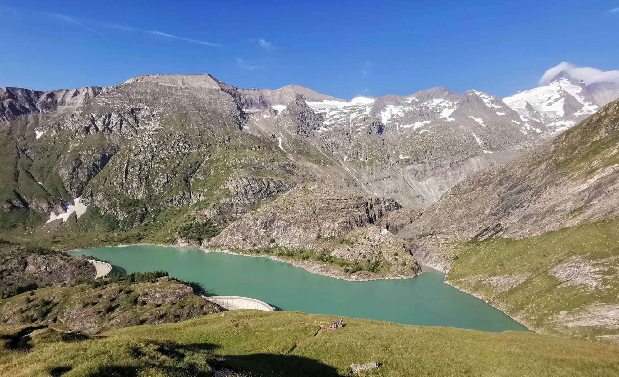
The Grossglockner – Circumnavigate Austria's highest mountain
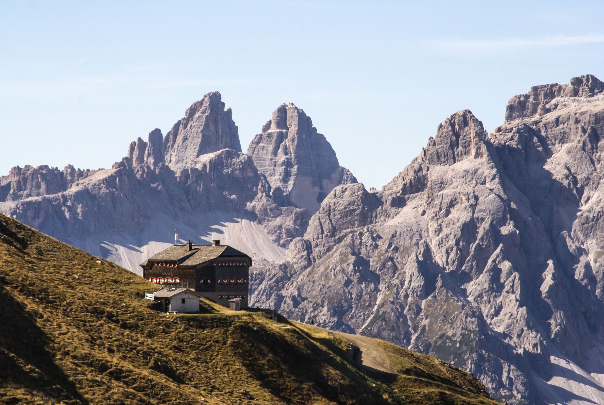
Alpine bliss on the long-distance hiking trails in East Tyrol
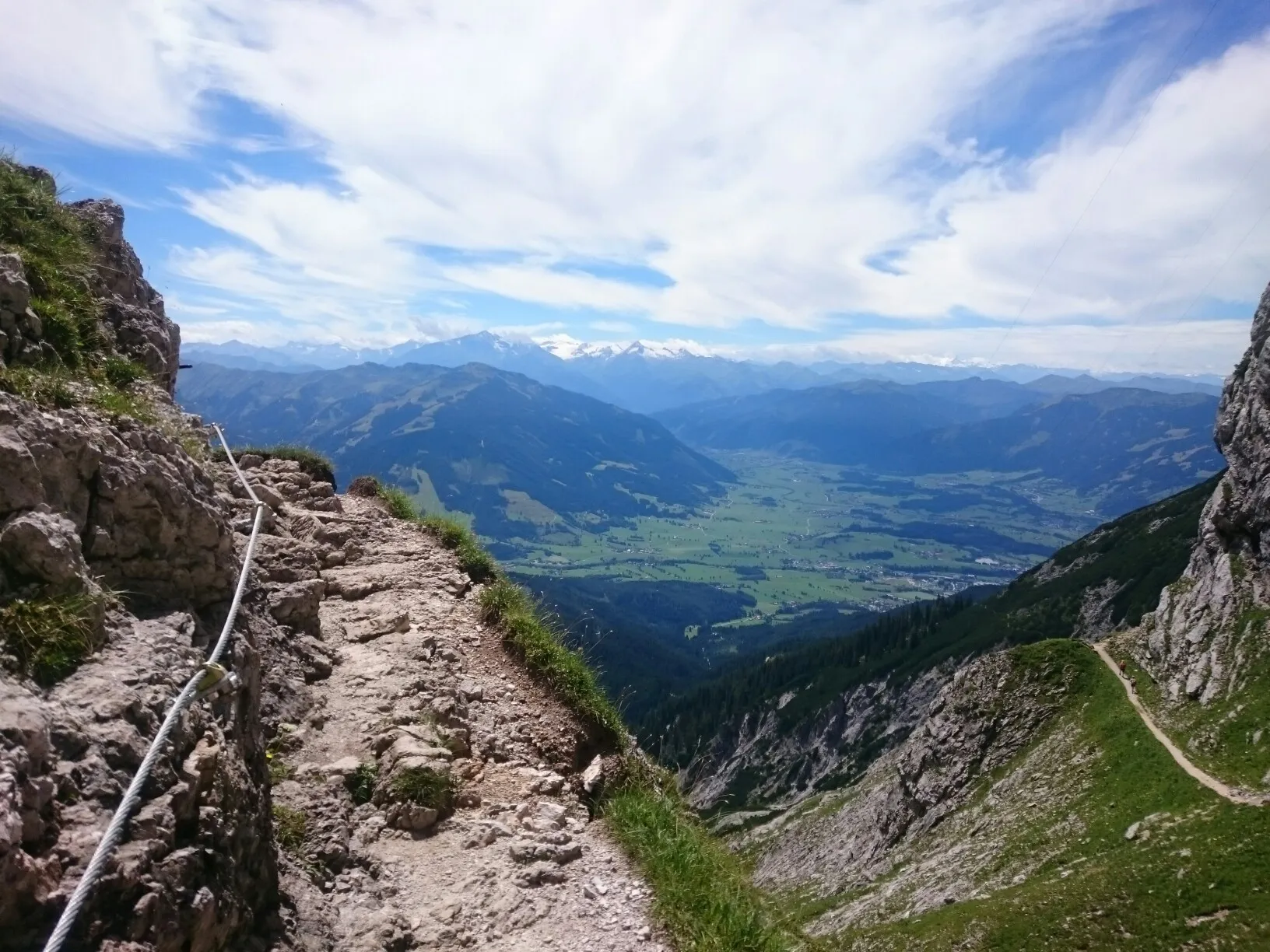
Alpine Crossing — 9 days across the Alps to Lienz
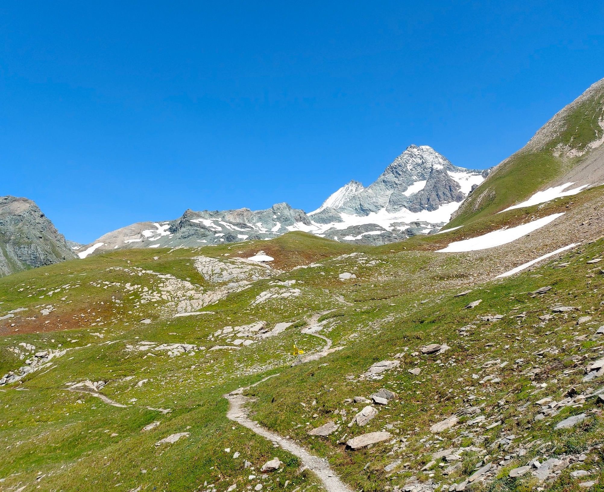
Glocknerkrone – 6 epic days in the Hohe Tauern National Park
Free like a bird on East Tyrol's Eagle Trail

An alpine adventure – from east to west through Austria
Other adventures around Kals am Großglockner


Tips from the Community

Via ferrata set: If you have it with you, definitely safer than without.. The Hornscharte is a 2,958-meter-high mountain pass in the Schober group of the Hohe Tauern in Carinthia, Austria. It forms the challenging key section of the Wiener Höhenweg and connects the Adolf-Noßberger-Hütte with the Elberfelder Hütte as an alpine trail. Considered technically and physically demanding. Protection: Secured with steel ropes in the upper, exposed section (via ferrata difficulty A/B). Terrain: Steep ascent through a north-facing cirque with loose scree, debris, and boulders. View: First view of the Großglockner from the notch. Note: Sure-footedness, a head for heights, and alpine experience are absolutely essential. The risk increases significantly if there is snow or ice on the ropes.
0
0
The Hornscharte is a 2,958-meter-high mountain pass in the Schober group of the Hohe Tauern in Carinthia, Austria. It forms the challenging key section of the Wiener Höhenweg and, as an alpine trail, connects the Adolf-Noßberger-Hütte with the Elberfelder Hütte. Considered technically and physically demanding. Protection: Secured with steel cables in the upper, exposed section (via ferrata difficulty A/B). Terrain: Steep ascent through a north-facing cirque with loose scree, rubble, and boulders. View: First view of the Großglockner from the saddle. Note: Sure-footedness, a head for heights, and alpine experience are essential. The risk increases significantly in case of snow or ice on the cables. Via ferrata set: If you have it with you, definitely safer than without..
1
0

It's a nice place to rest on the way to Böses Weibl. The flat plain also offers some panoramic views.
0
0

A beautiful plateau opens up, offering lovely views toward Böses Weibele or along the Eselsteig trail. A small hut awaits those who are caught off guard by the weather.
1
0

What a struggle to get up here, but the joy is even greater when you have made it and are standing at the top of the pass. Great panorama.
0
1

The Wallackhaus is a 2304 m above sea level. A. Mountain inn on Großglocknerstrasse in the Austrian state of Carinthia. Immediately to the east is the Großglockner – Heiligenblut ski area. The Wallackhaus was built in 1930 from a canteen for the construction workers on Großglocknerstrasse, south below the tunnel on the Hochtorpass. The house was named after the engineer Franz Wallack, who was responsible for planning the street. Source: Wikipedia
1
0

A good place to take a deep breath before heading to the Spielmann.
5
0

Nice experience but with condition claim.
1
0
Frequently Asked Questions
What makes the Großglockner High Alpine Road a significant mountain pass near Kals am Großglockner?
The Großglockner High Alpine Road is an iconic panoramic route, often considered one of the most impressive in the Alps. It's an engineering marvel with 36 bends over 48 kilometers, ascending more than 1,300 vertical meters. While Kals am Großglockner is a gateway to the Großglockner massif, visitors will use parts of this road to access the stunning alpine landscapes and views of Austria's highest mountain. Its highest point is the Hochtor (2,504 m).
What are some other notable mountain passes in the Kals am Großglockner region?
Beyond the Großglockner High Alpine Road, the region offers other significant passes. The Untere Pfandlscharte, at 2,663 meters, is a historically important crossing point from the Pinzgau region into the Mölltal valley, with the Glockner Group mountains rising nearby. Another is Peischlachtörl, nearly 2,500 meters high, which serves as a stopover for several tours and features a small emergency shelter.
What kind of views can I expect from the mountain passes around Kals am Großglockner?
The mountain passes in this region offer breathtaking panoramic views of the Großglockner massif and the surrounding Hohe Tauern National Park. From points like the Hochtor (2,504 m) on the Großglockner High Alpine Road, you can experience extensive vistas. The Kaiser-Franz-Josefs-Höhe, accessible via the road, provides unparalleled views of the Pasterze, the longest glacier in the Eastern Alps, and the Großglockner itself.
Are there hiking opportunities near the mountain passes?
Yes, the mountain passes around Kals am Großglockner are excellent starting points for various hiking adventures. The region is part of the Hohe Tauern National Park, offering diverse alpine landscapes. You can find numerous trails ranging from moderate to difficult. For more detailed hiking routes, explore the Hiking around Kals am Großglockner guide.
What other outdoor activities are available near these mountain passes?
Besides hiking, the area around Kals am Großglockner is popular for various cycling activities. You can find challenging routes for road cycling, including the iconic Großglockner High Alpine Road, as well as gravel biking trails. For specific routes and guides, check out the Road Cycling Routes around Kals am Großglockner and Gravel biking around Kals am Großglockner guides.
What is the best time of year to visit the mountain passes?
The best time to visit the mountain passes around Kals am Großglockner is typically from late spring to early autumn (May to October). During this period, the roads are generally open, and the weather is more favorable for outdoor activities. However, even in summer, conditions at higher elevations can change rapidly, so it's wise to be prepared for varying weather and strong winds.
Are there any family-friendly options for exploring the mountain passes?
While many passes offer challenging terrain, the Großglockner High Alpine Road itself provides attractions suitable for families, including exhibitions and play areas along the route. For hiking, some trails leading to or from passes might be manageable for families, but it's essential to check specific route difficulties. The region offers a variety of routes, so look for those marked as easier or moderate for family outings.
What should I know about accessibility and parking for the mountain passes?
The Großglockner High Alpine Road is well-developed for motorists, offering numerous parking opportunities and viewpoints along its length. For other passes and hiking trailheads, parking is often available at designated hiking car parks, such as near the Lucknerhaus for accessing Peischlachtörl. Public transport options within Kals am Großglockner can also connect to various starting points for mountain adventures.
What kind of natural monuments or unique features can be found near these passes?
The passes are situated within the Hohe Tauern National Park, offering access to stunning natural monuments. For instance, near Untere Pfandlscharte, you'll find Lake Pfandlsee. The Peischlachtörl area surprises hikers with a high moor. The entire Großglockner High Alpine Road is a journey through diverse alpine ecosystems, leading to views of glaciers like the Pasterze.
What amenities are available along the mountain passes?
Along the Großglockner High Alpine Road, you'll find various amenities, including exhibitions, restaurants, and small shops, particularly at popular points like the Kaiser-Franz-Josefs-Höhe and the Hochtor Pass. For other passes like Peischlachtörl, there might be basic facilities like a small emergency shelter or benches for resting. Kals am Großglockner itself offers a range of accommodation, cafes, and restaurants.
What is the difficulty level of the mountain passes around Kals am Großglockner?
The mountain passes in this region vary in difficulty. The Großglockner High Alpine Road, while a challenging drive or cycle with a constant 10% incline, is well-maintained. Hiking to passes like Untere Pfandlscharte or Peischlachtörl typically involves intermediate to challenging trails, often with significant elevation gain. It's advisable to check the specific route details and be prepared for high alpine conditions.
Can I bring my dog on the trails and passes?
Generally, dogs are permitted on hiking trails in the Hohe Tauern National Park, but they must be kept on a leash, especially in sensitive wildlife areas. Specific rules may apply to certain protected zones or attractions along the Großglockner High Alpine Road. Always ensure your dog is well-behaved and that you carry waste bags. It's recommended to check local regulations for any specific restrictions.
Most popular routes around Kals am Großglockner
Most popular attractions around Kals am Großglockner

Get inspired with the komoot mobile app


Explore more
See even more epic mountain passes by checking out these guides around Kals am Großglockner:
