The best walks and hikes around Thunder Bay
5.0
(4)
78
hikers
9
hikes
Hiking around Thunder Bay offers diverse terrain shaped by its location on Lake Superior and within the Canadian Shield. The region features rugged shorelines, dense forests, and the Nor'Wester Mountain range, providing varied elevation changes. Hikers can explore trails alongside rivers with waterfalls, through provincial parks, and to scenic lookouts over the lake. This landscape provides a range of experiences from accessible urban paths to more secluded wilderness routes.
Best hiking trails around Thunder Bay
- The most popular hiking route…
Last updated: October 12, 2026
5.0
(4)
44
hikers
5.89km
01:32
40m
40m
Hike the easy 3.7-mile Boulevard Lake loop in Thunder Bay, offering scenic lake views, bluffs, and a paved, dog-friendly path.
14
hikers
2.65km
00:40
10m
10m
Easy hike. Great for any fitness level. Easily-accessible paths. Suitable for all skill levels.

10
hikers
4.61km
01:12
30m
30m
Easy hike. Great for any fitness level. Easily-accessible paths. Suitable for all skill levels.
5
hikers
5.90km
01:51
210m
210m
Easy hike. Great for any fitness level. Easily-accessible paths. Suitable for all skill levels.
4
hikers
1.83km
00:45
140m
140m
Easy hike. Great for any fitness level. Easily-accessible paths. Suitable for all skill levels.
Get access to more routes and recommendations from other explorers.
Already have an account?
Our route recommendations are based on thousands of hikes, rides, and runs completed by other people on komoot.
Tips from the Community

Forest Trail is the longest route through Mills Block Conservation Area, running just over 2 kilometres through mixed-wood forest. It’s a quieter walk than the wetland side of the park, and a great way to appreciate the recovering woodland the restoration effort helped bring back.
0
0
Wetland Trail runs about 1.7 kilometres, following the edge of the wetland in the heart of the park. It’s a good stretch for spotting wildlife, with an active beaver pond nearby and amphibians often seen sunning themselves along the trail. Dogs are welcome here too, just be sure to keep your pup on leash.
0
0
Mills Block Conservation Area sits just outside Thunder Bay, covering 284 hectares of wetland and mixed-wood forest. This area was logged from the late 1800s into the 1900s, but in the 1960s, a Forest Recovery Strategy was implemented, resulting in the planting of over 200,000 seedlings to help restore the old-growth forest. A 4-kilometre network of looping trails now winds through the area, making it a popular destination for walkers, wildlife photographers, and nature clubs.
0
0

Marina Park is Thunder Bay’s lively waterfront hub, with sweeping views of Lake Superior and the Sleeping Giant. Walkways, lookouts, picnic areas, Spirit Gardens and the Mariner’s Monument make it great for an easy stroll, while the summer splash pad, winter rink and Skate/BMX plaza add plenty of family-friendly energy.
0
0
Prince Arthur’s Landing is a scenic waterfront stop with wide views over Lake Superior and the Sleeping Giant. Along the marina and park paths, you’ll find public art, sculptures, family-friendly spaces and the Baggage Building Arts Centre, where local artists are showcased year-round. In summer, the waterfront comes alive with weekly evening concerts.
0
0
From Thunder Bay’s marina, the Sleeping Giant rises across Lake Superior, its long outline resembling a giant lying in deep slumber. In Ojibway legend, the figure is often linked to Nanabijou, the spirit of deep water, with stories connecting him to the hidden silver of Silver Islet. It's a dramatic view with a powerful sense of place her ein Thunder Bay.
0
0
This lookout is situated on a rocky outcrop with fantastic sweeping views of Thunder Bay, Fox Mountain, Mount McRae, and Sawdust Lake. After a steady climb through dense forest, this exposed spot opens up to beautiful panoramic scenery that's worthy of taking a long break to take it all in.
0
0
This trail climbs through relatively steep forested sections before circling the upper slopes of Lost Mountain. It is a combination of rocky and wooded terrain that is unmarked and sometimes challenging to follow, especially around trail junctions and less obvious sections of path. Carrying a printed or downloaded map and your komoot GPS route is a good idea to help stay on course. As the climb progresses, the forest opens up to wide views over Thunder Bay and the surrounding mountains.
0
0
Frequently Asked Questions
What kind of hiking trails can I expect around Thunder Bay?
Thunder Bay, nestled on the north shore of Lake Superior and within the rugged Canadian Shield, offers a diverse range of hiking experiences. You'll find everything from easy, flat walks along urban waterfronts to more challenging ascents with dramatic views. The region is characterized by its vast freshwater lake, dense forests, and unique geological formations like canyons and waterfalls.
Are there any easy, family-friendly hikes in Thunder Bay?
Yes, Thunder Bay has several excellent options for families and those seeking an easier stroll. The Boulevard Lake loop offers a well-maintained, scenic path perfect for a casual outing. Another great choice is Thunder Bay's Marina Park, which provides accessible trails along the waterfront. Within the city, areas like Centennial Park and Hazelwood Lake Conservation Area also feature trails suitable for all ages.
Where can I find trails with scenic viewpoints overlooking Lake Superior?
For breathtaking views of Lake Superior, consider trails around Mink Mountain, which offers stunning vistas of Sturgeon Bay, Isle Royale, and Pie Island. The Top of McKay Trail provides a challenging ascent to a lookout with a panoramic view of Thunder Bay, its harbor, and the iconic Sleeping Giant. You can also explore the Top of McKay Trail viewpoint for an incredible perspective.
Are there any circular hiking routes available?
Yes, several trails in the Thunder Bay area are designed as loops, offering varied scenery without retracing your steps. The Boulevard Lake loop is a popular choice for an easy, scenic circuit. For a slightly more challenging loop with some elevation, the Lost Mountain loop provides a rewarding experience.
What natural features or landmarks can I see on hikes around Thunder Bay?
Thunder Bay's landscape is rich with natural wonders. You can explore the dramatic 100-meter deep Ouimet Canyon, or witness the powerful Kakabeka Falls, often called the 'Niagara of the North.' Many trails offer views of Boulevard Lake and the Current River, known for its rapids and picturesque waterfalls. Don't miss the distinctive rock formation of the Sea Lion Trail in Sleeping Giant Provincial Park.
What do other hikers enjoy most about hiking in Thunder Bay?
The komoot community highly rates the hiking experiences in Thunder Bay, with an average score of 5.0 stars. Hikers frequently praise the stunning views of Lake Superior, the diverse terrain offered by the Canadian Shield, and the accessibility of trails ranging from urban parks to rugged provincial parks. The blend of wilderness and scenic beauty is often highlighted.
Are there any trails that feature waterfalls?
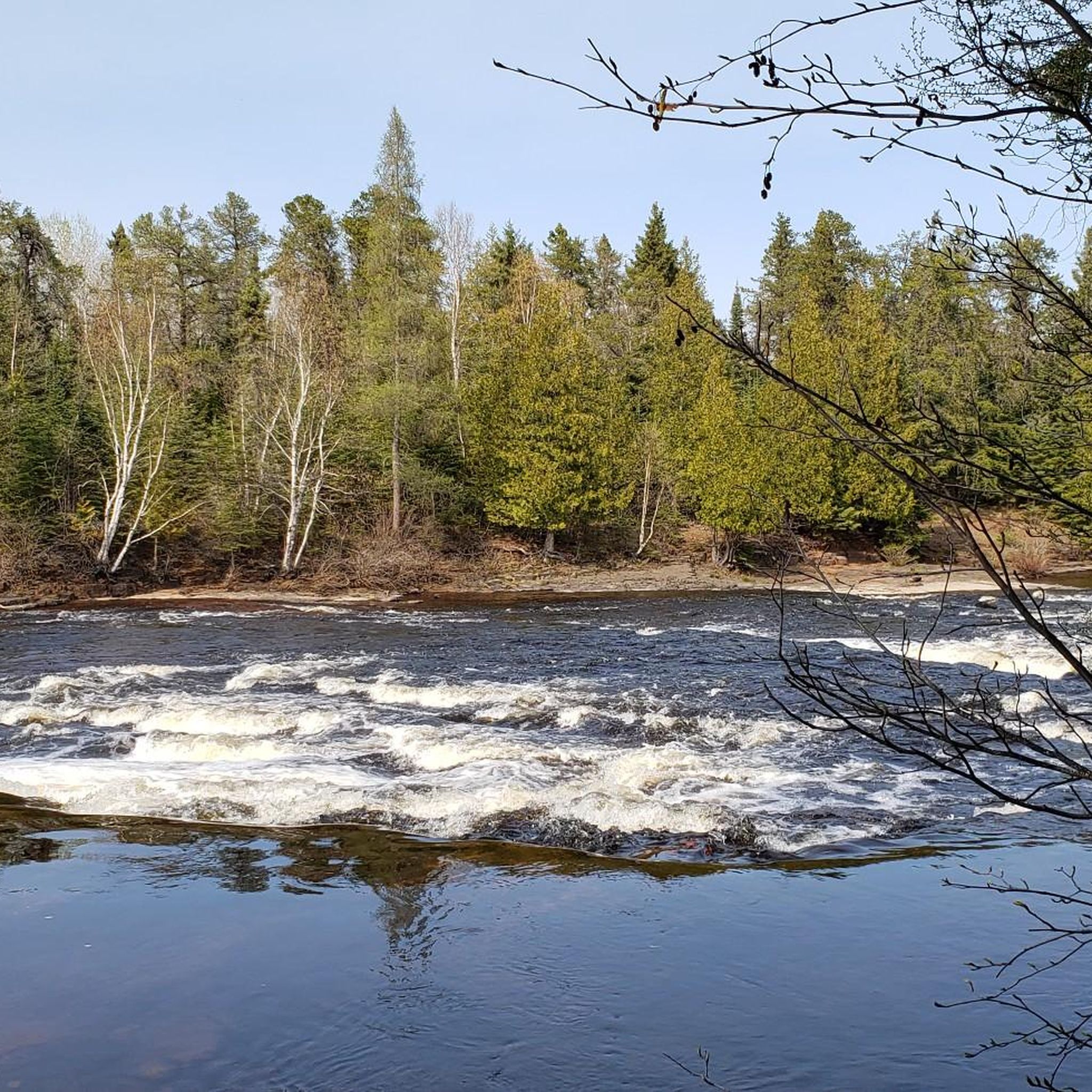
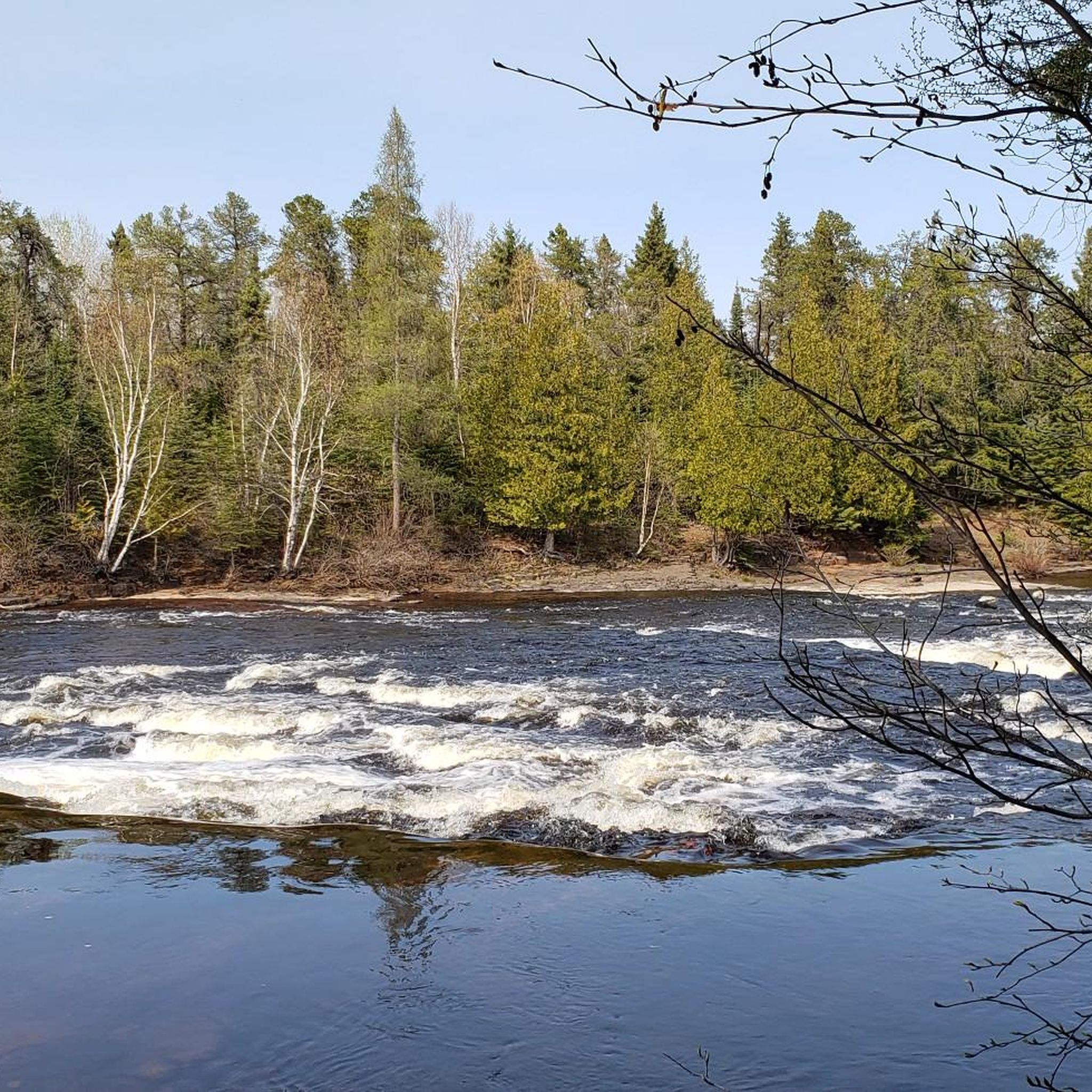
Absolutely. Kakabeka Falls Provincial Park is home to the magnificent Kakabeka Falls, with trails like the Boardwalk Trail offering close-up views. Within the city, Trowbridge Falls Park along the Current River is known for its picturesque waterfalls and rugged paths. Cascades Conservation Area also features spectacular rapids along the Current River, and Cedar Falls Conservation Area boasts a beautiful cascading waterfall.
What are some good options for a short hike near Thunder Bay?
For a quick and rewarding hike, consider the Thunder Bay's Marina Park trail, which is just over 2.5 km and offers pleasant waterfront views. The Top of McKay Trail is also relatively short at under 2 km, but provides a significant elevation gain for a challenging workout and incredible panoramic views.
Can I find trails that are suitable for dogs?
Many trails in and around Thunder Bay are dog-friendly, though it's always best to check specific park regulations before you go. Generally, conservation areas like Hazelwood Lake and Cascades are popular choices for walking with dogs. Always keep your dog on a leash and clean up after them to ensure a pleasant experience for everyone.
Are there any trails that offer a good workout with significant elevation gain?
While many trails are easy, you can find options for a good workout. The Lost Mountain loop, despite being rated easy, features over 200 meters of elevation gain, providing a decent climb. For a more concentrated ascent with a big payoff, the Top of McKay Trail climbs over 140 meters in less than 2 km, leading to a spectacular viewpoint.
What is the best time of year to go hiking in Thunder Bay?
The best time for hiking in Thunder Bay is typically from late spring through early autumn (May to October). During these months, the weather is generally mild, trails are clear of snow, and the natural scenery is vibrant. Fall offers spectacular autumn colors, especially in forested areas. Some trails are also suitable for winter hiking, offering a unique snowy landscape experience.
Are there any trails close to the city center?
Yes, Thunder Bay offers several accessible trails right within or very close to the city limits. Thunder Bay's Marina Park and the Boulevard Lake loop are excellent choices for urban hikes. Centennial Park and Trowbridge Falls also provide forested trails within easy reach of the city, offering a quick escape into nature.
Most popular routes around Thunder Bay
Most popular attractions around Thunder Bay

Get inspired with the komoot mobile app


Explore more
Browse the best Hikes in other regions.
