The best running trails in James River Face Wilderness
35
runners
5
runs
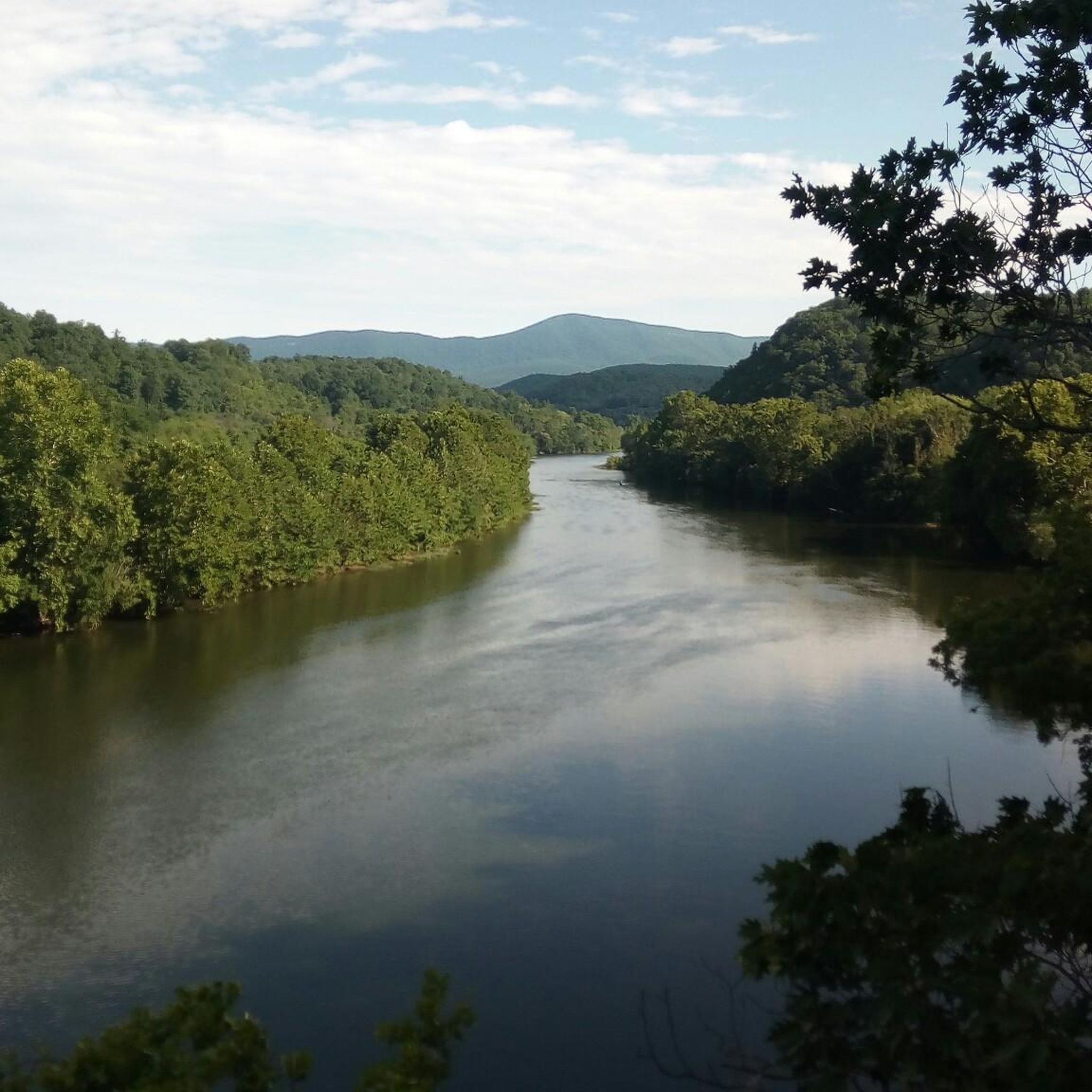
Jogging in James River Face Wilderness offers a challenging experience across varied terrain within the George Washington and Jefferson National Forests. The region is characterized by significant elevation changes, ranging from 650 feet near the James River to over 3,000 feet on Highcock Knob, providing substantial vertical challenges. Runners will navigate dense hardwood forests, the dramatic Blue Ridge Escarpment, and rugged trails, including sections of the Appalachian Trail. The wilderness features a complex topography with numerous creeks and occasional old-growth forest stands.
Best jogging routes in James River Face Wilderness
- The most popular jogging route is Little Rocky Row – Big Rocky Row loop from Bedford Municipal Lake, a 14.1 miles (22.6 km) trail that takes about 3 hours 10 minutes to complete. This difficult route features significant elevation gain through rugged forest.
- Another top favourite among local runners is Terrapin Mountain loop from Terrapin Mountain, a difficult 9.5 miles (15.3 km) path. This route offers a demanding ascent through the Blue Ridge Mountains, providing a rewarding workout.
- Local runners also love the Terrapin Mountain loop from Flint Stone Mountain, a 12.5 miles (20.1 km) trail leading through challenging mountain terrain, often completed in about 2 hours 53 minutes.
- Jogging in James River Face Wilderness is defined by dramatic topography, dense hardwood forests, and the rugged James River Gorge. The network of trails primarily offers options for experienced runners seeking challenging routes.
- The guide includes highly-rated routes that showcase the best of the region's landscape. More than 50 runners have used komoot to explore James River Face Wilderness's varied terrain.
Last updated: July 13, 2026
5
runners
23.3km
03:16
780m
780m
Hard run. Very good fitness required. Mostly paved surfaces. Suitable for all skill levels.
5
runners
31.6km
04:32
1,240m
1,240m
Hard run. Very good fitness required. Mostly paved surfaces. Suitable for all skill levels.

Sign up for free
4
runners
Hard run. Very good fitness required. Mostly paved surfaces. Suitable for all skill levels.
11
runners
48.8km
06:46
1,770m
1,770m
Hard run. Very good fitness required. Mostly paved surfaces. Suitable for all skill levels.
10
runners
Hard run. Very good fitness required. Mostly paved surfaces. Suitable for all skill levels.
Our route recommendations are based on thousands of hikes, rides, and runs completed by other people on komoot.
Start today with a free account
Your next adventure awaits.
Login or Signup
Popular around James River Face Wilderness


Tips from the Community

This spot is the terminus of the Balcony Falls Trail and where it meets with the famous Appalachian Trail and the Sulphur Springs Trail. Even though this is where the Balcony Falls Trail ends, it is not where the Balcony Falls are. The falls are actually miles below on the James River. The trail is named for these falls because you are afforded nice views of them as you hike up the trail.
0
0

One of the more unique overlooks on the parkway in this part of Virginia, Thunder Ridge Overlook can be found at Milepost 74 on the Blue Ridge Parkway. It peers over the Arnold Valley and offers views to the south of Thunder Ridge, which the Appalachian Trail traverses on its way towards the state of North Carolina.
0
0
The Terrapin Mountain Overlook is located at Milepost 72.6 on the Blue Ridge Parkway and offers views of Terrapin Mountain, which runs parallel to the parkway. This gives you a view of the spine from the face-side. There are a lot of overlooks on the parkway in this area.
0
0
The Terrapin Mountain Overlook is located at Milepost 72.6 on the Blue Ridge Parkway and offers views of Terrapin Mountain, which runs parallel to the parkway. This gives you a view of the spine from the face-side. There are a lot of overlooks on the parkway in this area.
0
0
The Thunder Ridge Overlook (situated at Milepost 74 on the Blue Ridge Parkway) peers over the Arnold Valley. The overlook also offers views to the south of Thunder Ridge, which the Appalachian Trail traverses on its way towards the state of North Carolina.
0
0
The Cornelius Creek Trail is commonly combined with the Apple Orchard Falls Trail to make a loop. The trail follows Cornelius Creek pretty much the entire time and jumps back and forth over the water. This is considered one of the most beautiful trails in the area and has a few smaller trailside waterfalls of its own.
0
0
Many people hiking to Apple Orchard Falls report that the creeks and streams along the trails are as enchanting as the falls, themselves. That being said, Apple Orchard Falls are one of the highlights in this area of Virginia. The falls are towering and are stronger after a recent rainfall. There are a few different trails that access the falls, but they can sometimes be difficult to follow, so take a map and pay attention to signs on the trail.
0
0
Frequently Asked Questions
How many running routes are available in James River Face Wilderness?
Komoot currently lists over 8 dedicated running routes in the James River Face Wilderness. These routes are primarily designed for experienced runners seeking challenging terrain.
What is the typical difficulty level of running trails in James River Face Wilderness?
The running trails in James River Face Wilderness are predominantly difficult. They are characterized by significant elevation changes, rugged terrain, and dense forests, making them suitable for intermediate to advanced runners looking for a demanding workout.
Are there any easy or beginner-friendly jogging routes in James River Face Wilderness?
The James River Face Wilderness is known for its challenging and rugged trails. Based on available data, there are no routes specifically categorized as easy or beginner-friendly for jogging within this guide. Most trails feature strenuous ascents and uneven surfaces.
What natural features or landmarks can I expect to see while running?
You can expect to encounter dramatic topography, the Blue Ridge Escarpment, and diverse forests. A unique attraction is the Devil's Marbleyard, an eight-acre quartzite boulder field. Many trails also offer panoramic views of the James River Gorge and Valley. Small, unnamed waterfalls can be found along creeks like Sulphur Spring and Matt's Creek.
Are there any loop jogging trails in the area?
Yes, there are several loop options. For instance, the Little Rocky Row – Big Rocky Row loop from Bedford Municipal Lake is a popular choice, offering a challenging 14.1-mile run. Another option is the Terrapin Mountain loop from Terrapin Mountain, a demanding 9.5-mile path.
What is the best time of year to go running in James River Face Wilderness?
The James River Face Wilderness offers unique experiences throughout the year. Spring and fall provide pleasant temperatures and vibrant foliage. Winter runs can offer clear views through the bare trees, especially from trails like the Piney Ridge Trail. However, always be prepared for varying weather conditions and potential ice or snow in colder months due to significant elevation changes.
Is public transport available to access the running trails?
The James River Face Wilderness is a remote area, and public transport options directly to the trailheads are generally limited or non-existent. Access typically requires personal vehicle transportation.
Are dogs allowed on the running trails in James River Face Wilderness?
While dogs are generally permitted in the George Washington and Jefferson National Forests, it is crucial to check specific regulations for the James River Face Wilderness. Dogs should always be kept on a leash to protect wildlife and ensure the safety of other trail users, especially given the rugged terrain.
Are there any permits required for jogging in James River Face Wilderness?
For day-use jogging, permits are generally not required. However, if you plan on backcountry camping or engaging in other specific activities, it's advisable to check with the George Washington and Jefferson National Forests for any necessary permits or regulations.
What kind of views can I expect on the running routes?
Many trails offer spectacular panoramic views. You can expect sweeping vistas of the James River Gorge and Valley from steep sandstone cliffs. Trails like the James River Face Trail are known for their scenic overlooks, providing motivating backdrops for your run.
Are there any routes that follow the Appalachian Trail?
Yes, approximately 11 miles of the Appalachian National Scenic Trail meander through the James River Face Wilderness. Sections of the A.T. within the wilderness present challenging elevation changes, offering a significant and well-known route for long-distance runners.
What should I know about parking when planning a run?
Parking availability varies by trailhead. Given the wilderness nature of the area, parking facilities are often undeveloped or limited. It's recommended to research specific trailhead access points in advance and arrive early, especially during peak seasons, to secure a spot.
Can I find any routes with significant elevation gain for a challenging workout?
Absolutely. The James River Face Wilderness is defined by its significant elevation changes. For example, the Cornelius Creek Trail – Apple Orchard Falls loop from Onion Mountain features an elevation gain of over 900 meters, providing an excellent challenge for experienced runners.
Most popular routes in James River Face Wilderness

Get inspired with the komoot mobile app


Explore more
Browse the best Running Trails & Routes in other regions.
