The best gravel rides around Castaic
26
riders
4
rides
Gravel biking around Castaic offers routes through varied terrain, often following creek beds and river paths. The region is characterized by rolling hills, canyons, and the expansive Castaic Lake State Recreation Area. These landscapes provide a mix of open terrain and areas with elevation changes, suitable for gravel exploration. The area features extensive trail systems, including unpaved segments ideal for gravel bikes.
Best gravel bike trails around Castaic
- The most popular gravel bike trail is Entrance to G out trail…
Last updated: October 22, 2026
7
riders
16.6km
01:31
300m
300m
Moderate gravel ride. Good fitness required. Mostly paved surfaces.
5
riders
58.6km
04:21
750m
750m
Hard gravel ride. Very good fitness required. Mostly paved surfaces.

8
riders
Hard gravel ride. Very good fitness required. Mostly paved surfaces.
Our route recommendations are based on thousands of hikes, rides, and runs completed by other people on komoot.
Start today with a free account
Your next adventure awaits.

Tips from the Community

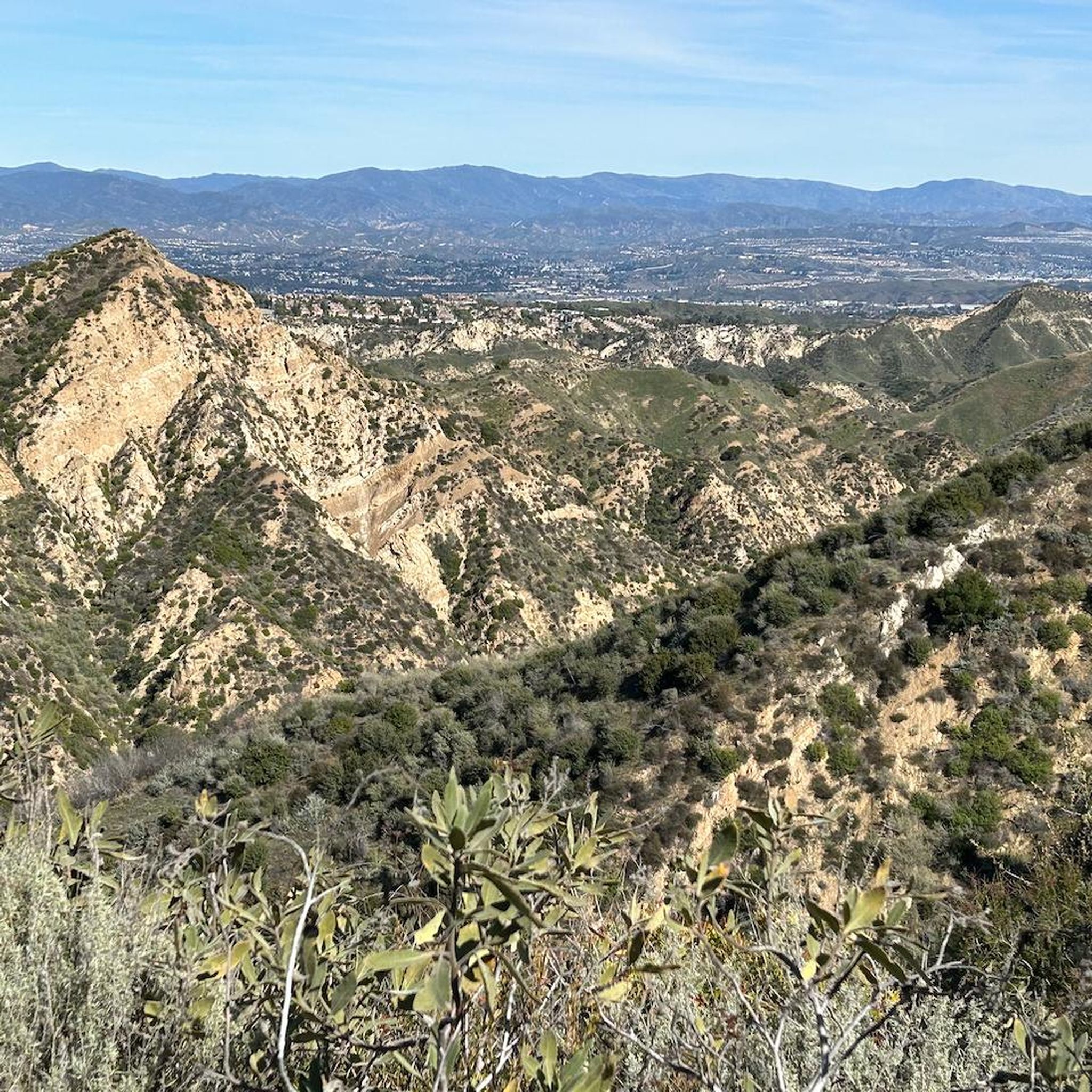
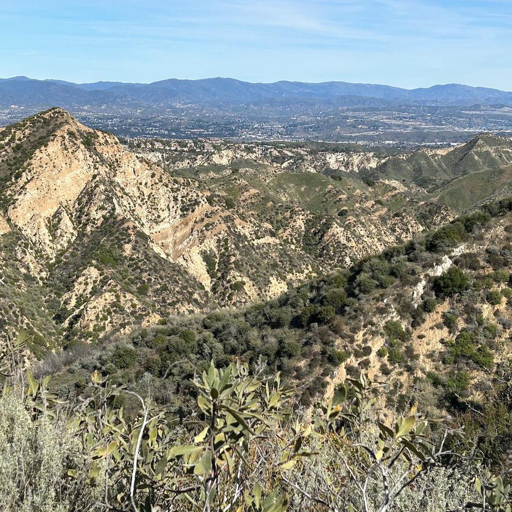
At about 84 miles long, the Santa Clara River is the largest natural river system in southern California remaining in a relatively undeveloped state. Along its length there is the 8 mile long Santa Clara River Trail, which is a paved bicycle and walking path in the city of Santa Clarita.
0
0
At about 84 miles long, the Santa Clara River is the largest natural river system in southern California remaining in a relatively undeveloped state. Along its length there is the 8 mile long Santa Clara River Trail, which is a paved bicycle and walking path in the city of Santa Clarita.
0
0

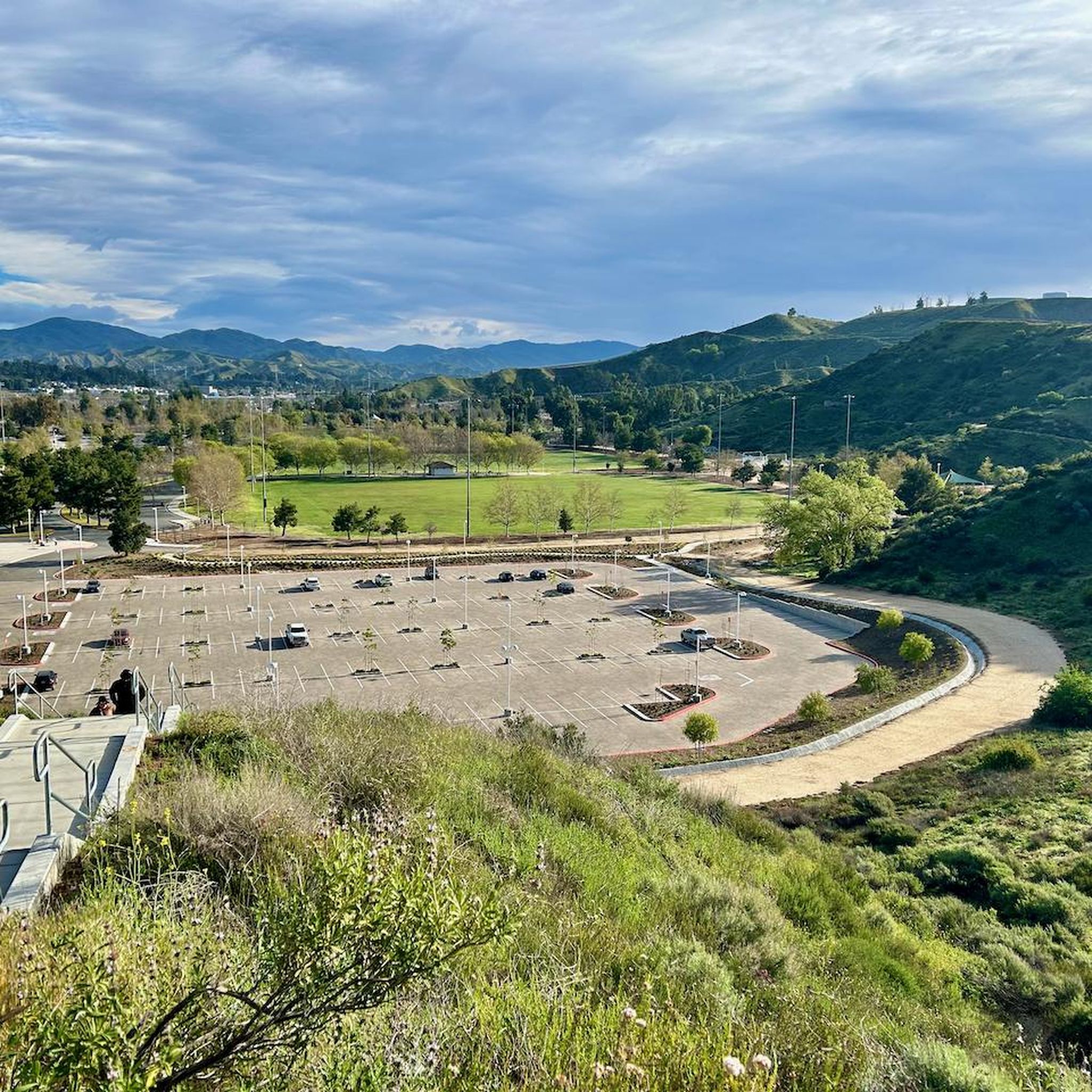
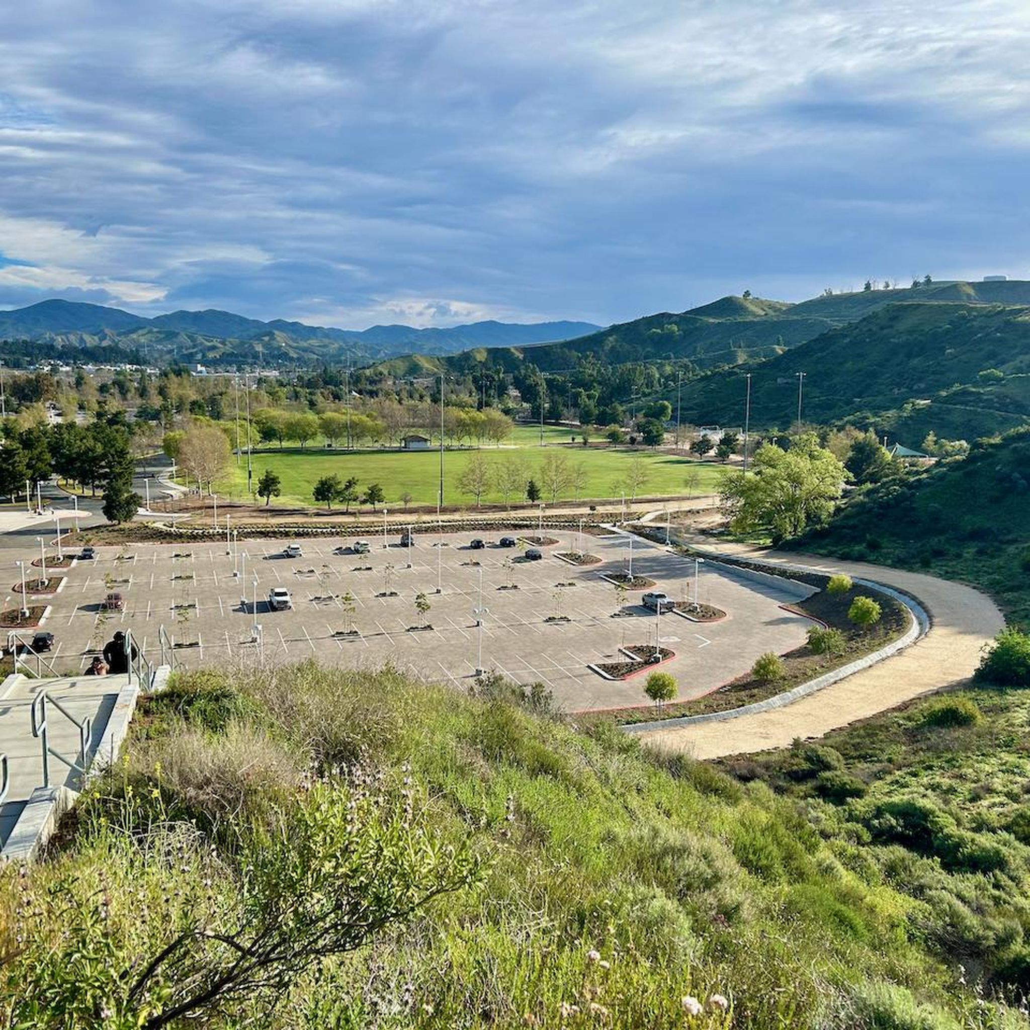
Chesebrough Park has a few paved paths that run through it and around it. There is also some open green space, restrooms, and a playground at the park. It's easy to make a loop using the park path and sidewalk on the outskirts of the property.
0
0

Side trails have been blocked because of motorcycles, but there is plenty of single track
1
0
Although you can pick it up higher. Local group had done a good job maintaining the trail
1
0
Frequently Asked Questions
What is the general difficulty level for gravel biking in Castaic?
Gravel biking in Castaic offers a mix of routes. You'll find moderate trails that provide a balanced experience, as well as more difficult routes with challenging ascents. The region's terrain includes creek-side paths and open landscapes, catering to various skill levels.
Are there beginner-friendly gravel bike trails in Castaic?
While the guide highlights moderate and difficult routes, the overall network in Castaic offers options for different ability levels. For those looking for a balanced experience, routes like Entrance to G out trail loop from Castaic are rated as moderate and could be a good starting point.
What options are available for experienced gravel bikers in Castaic?
Experienced gravel bikers can find challenging routes in Castaic, particularly those with significant elevation changes. The Santa Clara River – Santa Clara River loop from Santa Clarita, for example, is a difficult 33.7-mile trail that leads through riverine landscapes and involves substantial climbing.
Can I find circular gravel bike routes in Castaic?
Yes, Castaic offers several circular gravel bike routes. Popular options include the Entrance to G out trail loop from Castaic and the San Francisquito Creek Trail – Iron Horse Bridge loop from Castaic, both providing a complete loop experience.
Where are the main trailheads for gravel biking in Castaic?
Many gravel routes in Castaic start directly from the Castaic area. Specific starting points often depend on the chosen route, but you can typically find access points near major natural features like the San Francisquito Creek or the Santa Clara River.
When is the best time of year to go gravel biking in Castaic?
Castaic generally experiences warm, dry weather for much of the year. Spring and fall often provide the most comfortable temperatures for gravel biking, avoiding the intense heat of summer. Winter can also be pleasant, though conditions should be checked for any potential rain or cooler temperatures.
Are there scenic viewpoints or attractions along Castaic's gravel routes?
Yes, several routes offer scenic views and pass by notable attractions. For instance, the San Francisquito Creek Trail – Iron Horse Bridge loop from Castaic follows the creek and passes by the historic Iron Horse Bridge. Other highlights in the area include Castaic Lake and the Santa Clara River.
What do other gravel bikers enjoy most about gravel biking in Castaic?
The komoot community highly rates the gravel biking in Castaic, with an average score of 5.0 stars from over 2 reviews. Riders often praise the varied terrain, which includes creek-side paths and open landscapes, providing a diverse and engaging experience.
How many gravel bike trails are available in Castaic?
There are at least 3 gravel bike trails detailed in this guide for the Castaic area, with many more options available on komoot. These routes offer a range of distances and difficulties for gravel biking enthusiasts.
Are there any long-distance gravel routes in Castaic?
Yes, Castaic offers options for longer gravel rides. The Santa Clara River – Santa Clara River loop from Santa Clarita is a substantial 33.7-mile trail, and the San Francisquito Creek Trail – Iron Horse Bridge loop from Castaic covers 27.3 miles, both providing extended riding experiences.
Are there family-friendly gravel biking options in Castaic?
While specific 'family-friendly' designations aren't provided, routes with moderate difficulty and relatively flat sections along creek beds might be suitable for families with some biking experience. Always check the route details and elevation profiles to ensure it matches your family's capabilities.
What are the winter conditions like for gravel biking in Castaic?
Winters in Castaic are generally mild. While temperatures are cooler, many days remain suitable for gravel biking. It's advisable to check local weather forecasts for rain, as unpaved trails can become muddy or impassable after significant precipitation.
Most popular attractions around Castaic

Get inspired with the komoot mobile app


Explore more
Browse the best Gravel rides in other regions.
