The 9 Most Amazing Peaks around Ringmackilroy
Mountain peaks around Ringmackilroy offer diverse landscapes within the Newry and Mourne district of Northern Ireland. This region is characterized by significant mountainous terrain, including the Mourne Mountains, Slieve Gullion, and the Cooley Mountains. These ranges provide varied natural features, historical sites, and opportunities for exploration. The area is known for its rugged beauty and panoramic vistas.
Best mountain peaks around Ringmackilroy
- The most popular mountain peaks is Slieve Foye Summit, a summit that rises to 589 meters, making…
Last updated: June 30, 2026
Slieve Foye Summit
Highlight • Summit
Tip by

Clermont Carn Summit and Transmission Site
Highlight • Summit
Tip by

Sign up now to discover places like this
Get recommendations on the best single tracks, peaks, & plenty of other exciting outdoor places.
Sign up for free
Barnavave Summit
Highlight • Summit
Translated by Google •
Tip by

Slievemeen Summit
Highlight • Summit
A great walk for kids as it's relatively close …
Tip by

Pierce's Castle
Highlight • Natural Monument
Tip by

Sign up for free to discover even more peaks around Ringmackilroy.
Sign up for free
Already have an account?
Start today with a free account
Your next adventure awaits.
Login or Signup


Tips from the Community

Here it is worth climbing the mountain
0
2

Wikipedia (Slieve Foy (Irish: Sliabh Feá), 2023-12-02): https://en.m.wikipedia.org/wiki/Slieve_Foy Wikipedia (Lists of mountains in Ireland, 2023-12-02): https://en.m.wikipedia.org/wiki/Lists_of_mountains_in_Ireland MountainViews.ie (Slieve Foye, 2023-12-02): https://mountainviews.ie/summit/298/ TheIrishRoadtrip (“A Guide To The Slieve Foye Loop: Trail, Parking + Handy Info”, 2023-12-02): https://www.theirishroadtrip.com/slieve-foye-loop/
2
1
Wikipedia (Cooley Mountains, 2024-07-28): https://en.m.wikipedia.org/wiki/Cooley_Mountains "... Barnavave (350m). This latter name comes from Bearna Mhéabha (Maeve's Gap), and refers to the legendary Queen Medb (Maeve), whose army is said to have dug a pass through the mountain. ..."
1
0

A tough climb from any direction but a great place to refuel and enjoy the views.
0
0

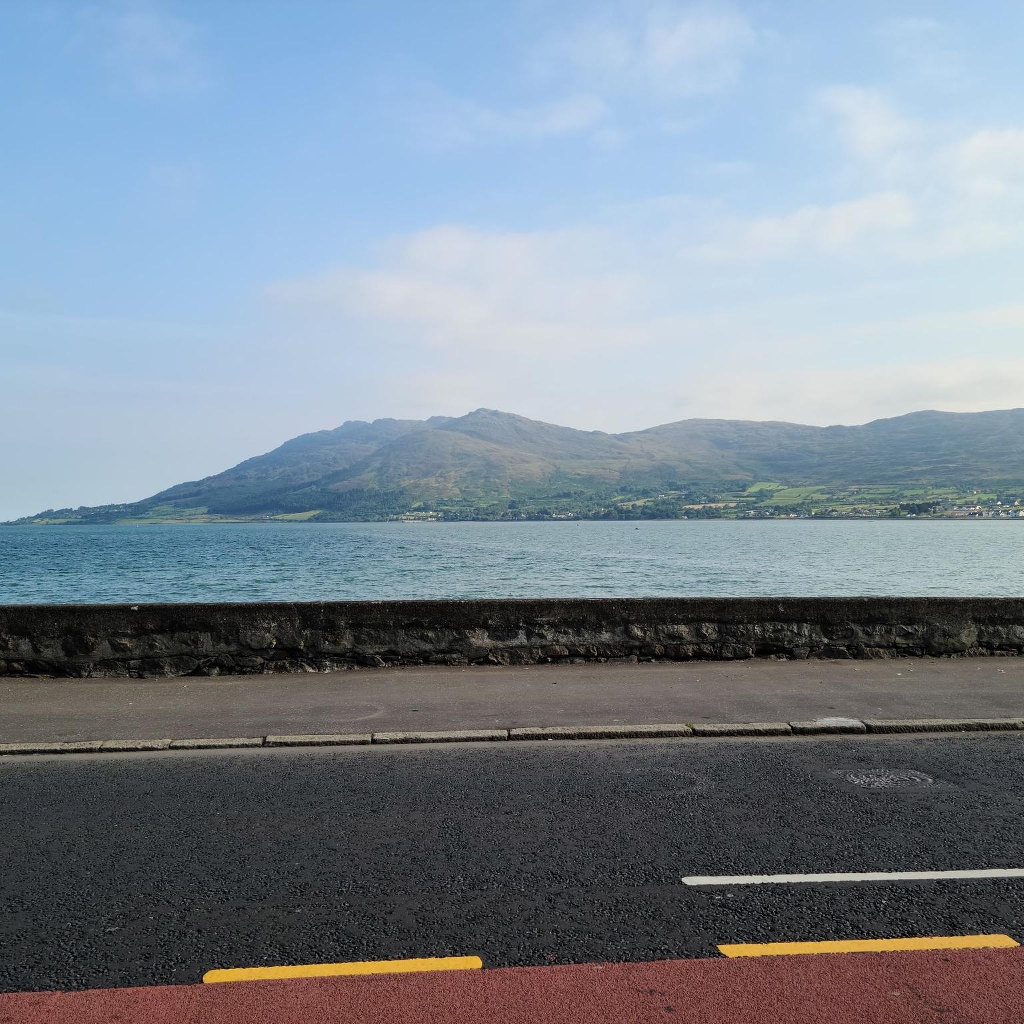
Slieve Foye peak on the Carlingford Mountain have spectacular views across Carlingford Lough. The difficult climb is well worth it.
0
0
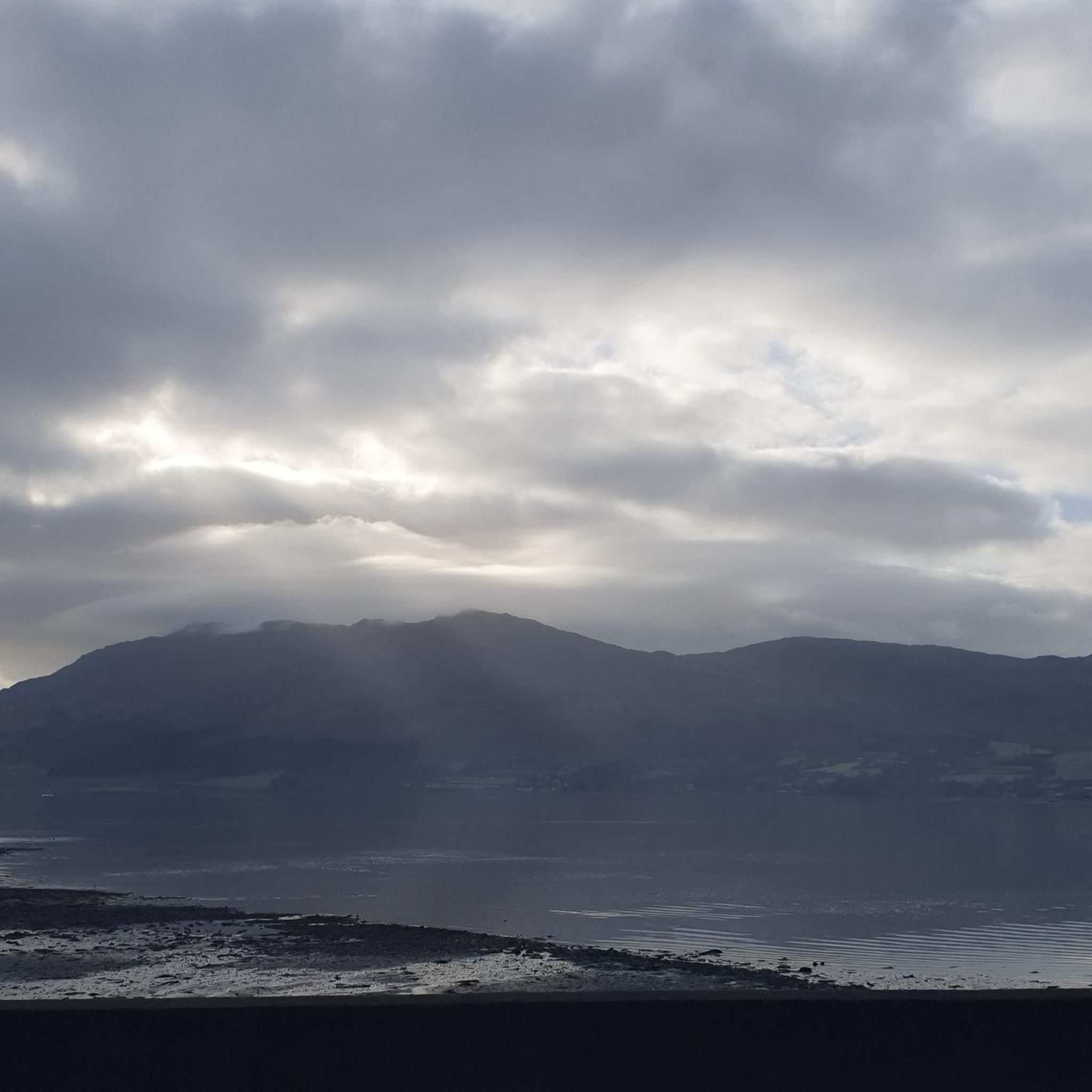
At the highest point of the Black Mountain you are greeted by spectacular views of the surrounding landscape and the Irish Sea.
3
1

Also known as Carlingford Mountain, Slieve Foy or Slieve Foye is a mountain on the Cooley Peninsula in Louth, Ireland. It is the highest of the Cooley Mountains at 589m and indeed the highest in the county. Superb views can be enjoyed up here at the summit.
0
0
Not the biggest in the mournes at only 472m but well worth the climb as the views from Slievemeen are incredible! A great walk for kids as it's relatively close to the car park and has a nice summit to take a picnic on.
0
0
Frequently Asked Questions
What mountain ranges are located near Ringmackilroy?
Ringmackilroy is situated within a region rich in mountainous terrain. The most prominent ranges nearby are the majestic Mourne Mountains, the standalone Slieve Gullion, and the scenic Cooley Mountains. Each offers distinct landscapes and experiences.
Are there family-friendly mountain walks around Ringmackilroy?
Yes, several options cater to families. Slievemeen Summit in the Mournes is noted as a family-friendly summit with incredible views and a good spot for a picnic. Additionally, Slieve Gullion Forest Park offers walking trails and a 'Giant's Lair' children's story trail, making it ideal for families.
What are some challenging mountain climbs in the Ringmackilroy area?
For those seeking a challenge, the Mourne Mountains offer several demanding ascents. Slieve Donard, the highest peak in Ulster, provides a moderate to challenging hike taking 4-6 hours. Slieve Bearnagh is known for trails that can involve scrambling. In the Cooley Mountains, the climb to Slieve Foye Summit from Carlingford is steep but rewarding.
What historical or cultural sites can I find on these mountain peaks?
The mountains around Ringmackilroy are steeped in history and folklore. Slieve Gullion's summit features two ancient burial cairns, including Ireland's highest surviving passage grave. Clermont Carn Summit also hosts a Neolithic burial cairn. The Mourne Mountains are home to the historic Mourne Wall, a 22-mile dry-stone wall crossing fifteen summits, and Slieve Commedagh has an ancient burial cairn. The Cooley Mountains are famously the setting for the epic Irish tale 'Táin Bó Cúailnge'.
What are the best viewpoints in the Ringmackilroy mountain area?
Many peaks offer spectacular vistas. Slieve Foye Summit provides views across Carlingford Lough to the Mourne Mountains. Clermont Carn Summit offers spectacular views of the surrounding landscape and the Irish Sea. From Slieve Donard, you can see across Northern Ireland, the Irish Sea to Scotland, the Isle of Man, and even the Wicklow Mountains on clear days. Barnavave Summit also boasts beautiful 360-degree views of Carlingford, the Mourne Mountains, and the Irish Sea.
Can I find easy mountain hikes near Ringmackilroy?
Yes, there are options for easier walks. While many peaks offer challenging routes, areas like Slieve Gullion Forest Park provide accessible walking trails. For a less strenuous experience, consider some of the shorter routes listed in the Hiking around Ringmackilroy guide, such as 'Fiddlers Green – Mocca's Castle loop from Rostrevor' or 'Aslan's Table – Narnia Trail Fairy Doors loop from Rostrevor'.
What outdoor activities are available besides hiking in the Ringmackilroy mountain area?
Beyond hiking, the region offers diverse outdoor activities. You can explore road cycling routes, such as 'The Rostrevor Route loop from Warrenpoint – Mourne' or 'Ross Monument – View of Carlingford Lough loop from Warrenpoint', detailed in the Road Cycling Routes around Ringmackilroy guide. Gravel biking is also popular, with routes like 'The Old Oak Tree – Fairy Glen loop from Rostrevor' available in the Gravel biking around Ringmackilroy guide. The area also has opportunities for rock climbing, particularly around landmarks like Pierce's Castle.
What is the highest peak in the region around Ringmackilroy?
The highest peak in the broader region is Slieve Donard, located in the Mourne Mountains. It stands at 850 meters (2,790 ft) and is the highest point in Ulster and Northern Ireland.
What makes the Mourne Mountains a significant area to visit?
The Mourne Mountains are a designated Area of Outstanding Natural Beauty and a UNESCO Global Geopark, known for their rugged granite peaks, steep slopes, and distinctive tors. They are a haven for hikers of all abilities and offer breathtaking panoramic views. The area's unique features, such as the 22-mile Mourne Wall, and its inspiration for C.S. Lewis's Narnia series, add to its allure.
What is the best time of year to hike in the mountains around Ringmackilroy?
The best time to hike in the mountains around Ringmackilroy is generally during the spring (April-May) and autumn (September-October) months. During these periods, the weather is often milder, and the landscapes are vibrant with spring blooms or autumn colors. Summer (June-August) also offers good conditions, though it can be busier. Winter hiking is possible but requires appropriate gear and experience due to colder temperatures and potentially challenging conditions.
Are there any unique geological features in the mountains near Ringmackilroy?
Yes, the region boasts interesting geological formations. Slieve Gullion is a prime example, being the eroded remains of a Paleocene volcanic complex surrounded by a distinctive ring dike. The Mourne Mountains are characterized by their rugged granite peaks and tors, formed from ancient granite intrusions. The Cooley Mountains also have a geology dating back millions of years, with volcanic rocks forming the mountains around 60 million years ago.
What do visitors enjoy most about the mountain peaks around Ringmackilroy?
Visitors frequently praise the incredible views and the sense of accomplishment after a climb. Many appreciate the diverse landscapes, from the rugged granite of the Mournes to the unique volcanic formations of Slieve Gullion. The opportunity for picnics at summits like Slievemeen Summit and the rich historical and mythological context of the peaks also add to the enjoyment.
Most popular attractions around Ringmackilroy

Get inspired with the komoot mobile app


Explore more
See even more amazing summits around Ringmackilroy with these guides:
