Top 20 Caves around Weißenohe
Best caves around Weißenohe are found within Franconian Switzerland, a region known for its extensive karst formations. The area features picturesque wooded and meadow landscapes in the Jura region, providing a backdrop for numerous caves and rock formations. While not a typical cave system, the Lillachquelle emerges from a small rock cave, and the Lillachtal with its sinter terraces represents an impressive geological marvel. This natural setting offers a variety of geological features and natural monuments to explore.
Best caves…
Last updated: September 29, 2026
Hohle Kirche Cave
Highlight • Cave
Translated by Google •
Tip by

Stierberg Castle Ruins
Highlight • Castle
Translated by Google •
Tip by

Sign up now to discover places like this
Get recommendations on the best single tracks, peaks, & plenty of other exciting outdoor places.
Frauenhöhle (Women's Cave)
Highlight • Cave
This naturally formed karst cave, with its three entrances, is picturesquely hidden in the forest.
trubachtal.com/de/poi/detail/583d5b59975a42c49a5335be
Translated by Google •
Tip by

Goat Enclosure Trubach Spring
Highlight • Structure
They are doing really well here😊
Translated by Google •
Tip by

Höllenstein Cave
Highlight • Cave
Translated by Google •
Tip by
Sign up for free to discover even more caves around Weißenohe.
Already have an account?
Start today with a free account
Your next adventure awaits.
Popular around Weißenohe

No time for boredom – family hikes with a fun factor in Bayern
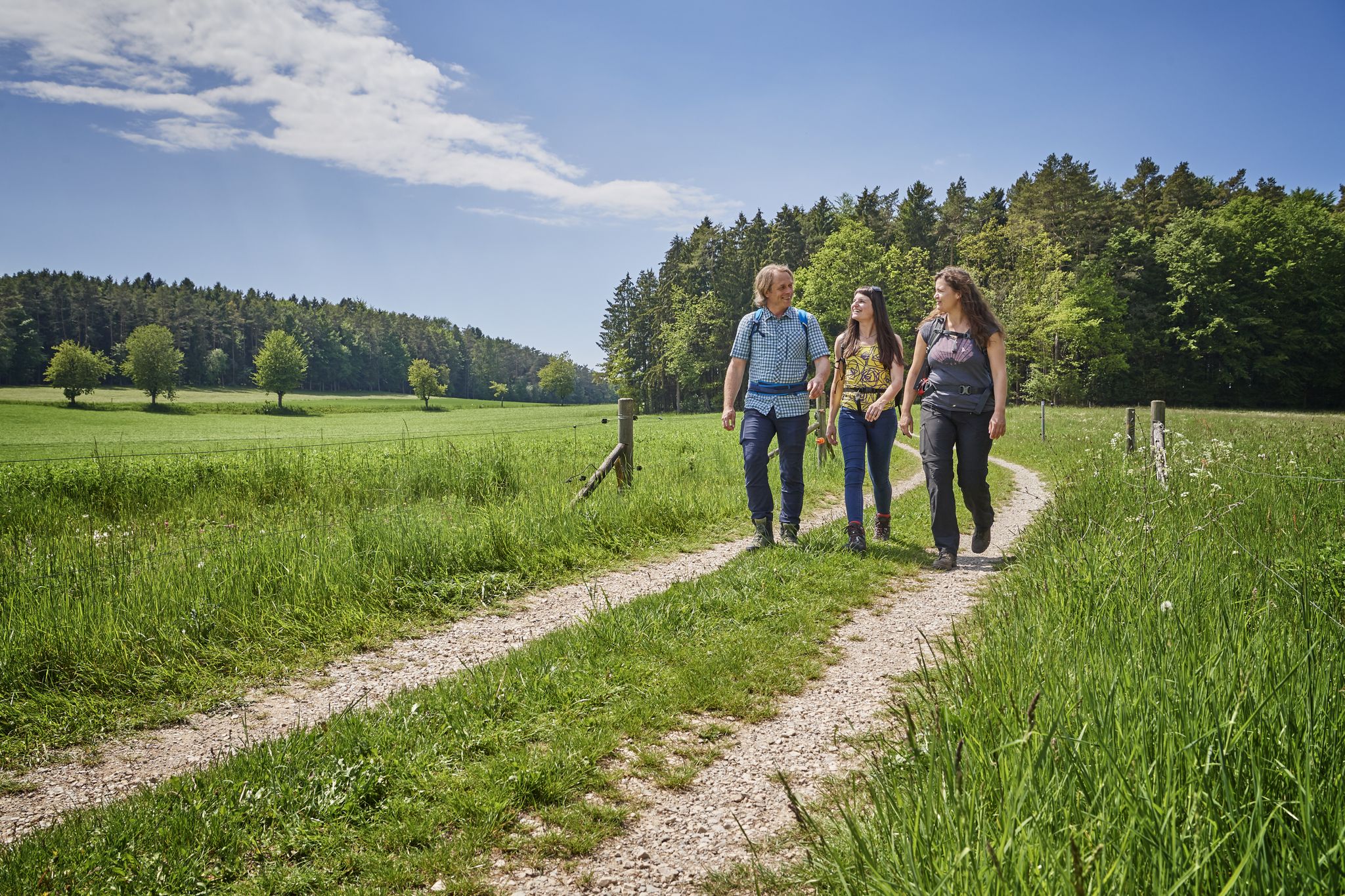
Hops, barley & beer — hiking with VGN leisure tips through Franconia

Hike & Beer in Franconia and Upper Palatinate — the VGN leisure tips
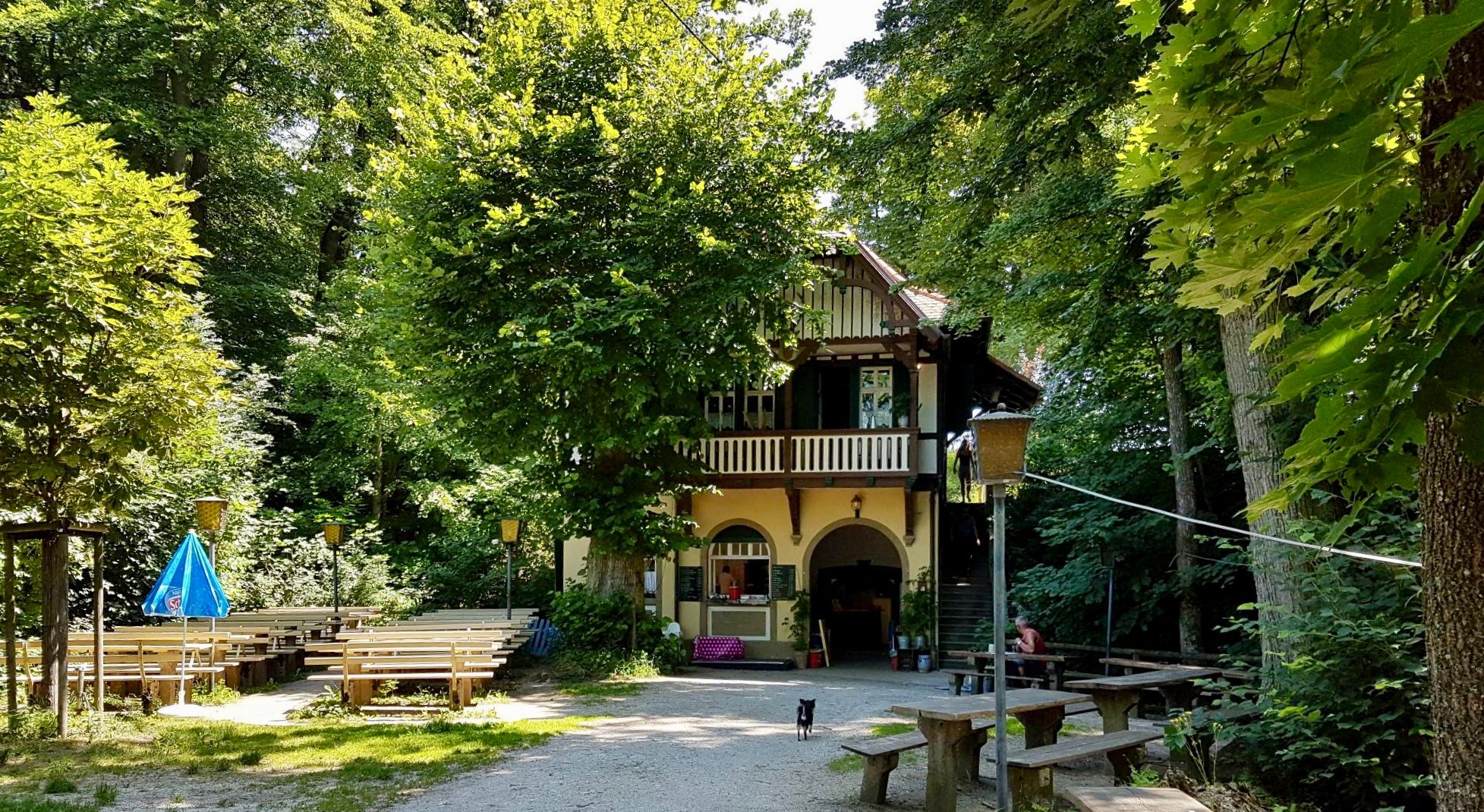
Franconian Switzerland — on the trace of the Purity Law
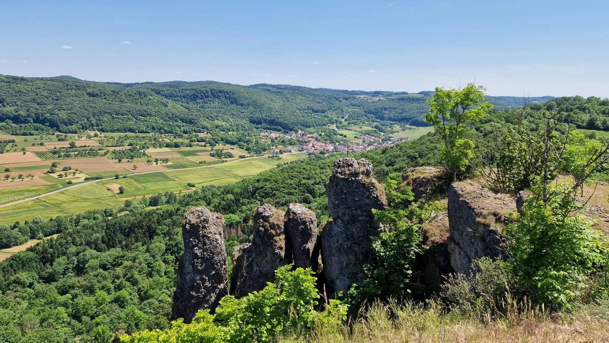
Delightful hiking in Franconian Switzerland
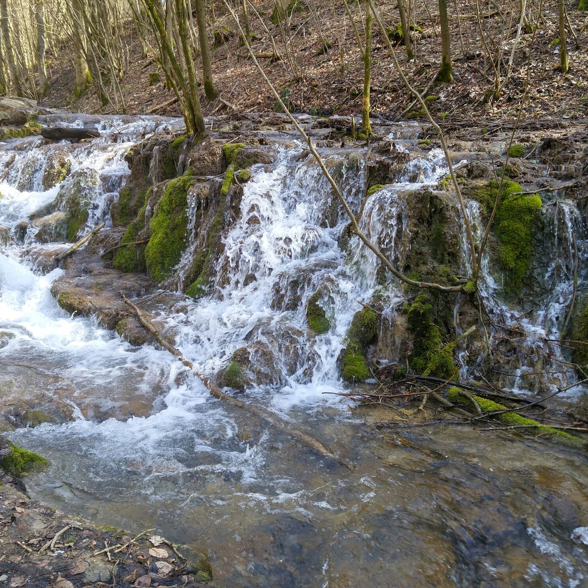
Hiking around Weißenohe
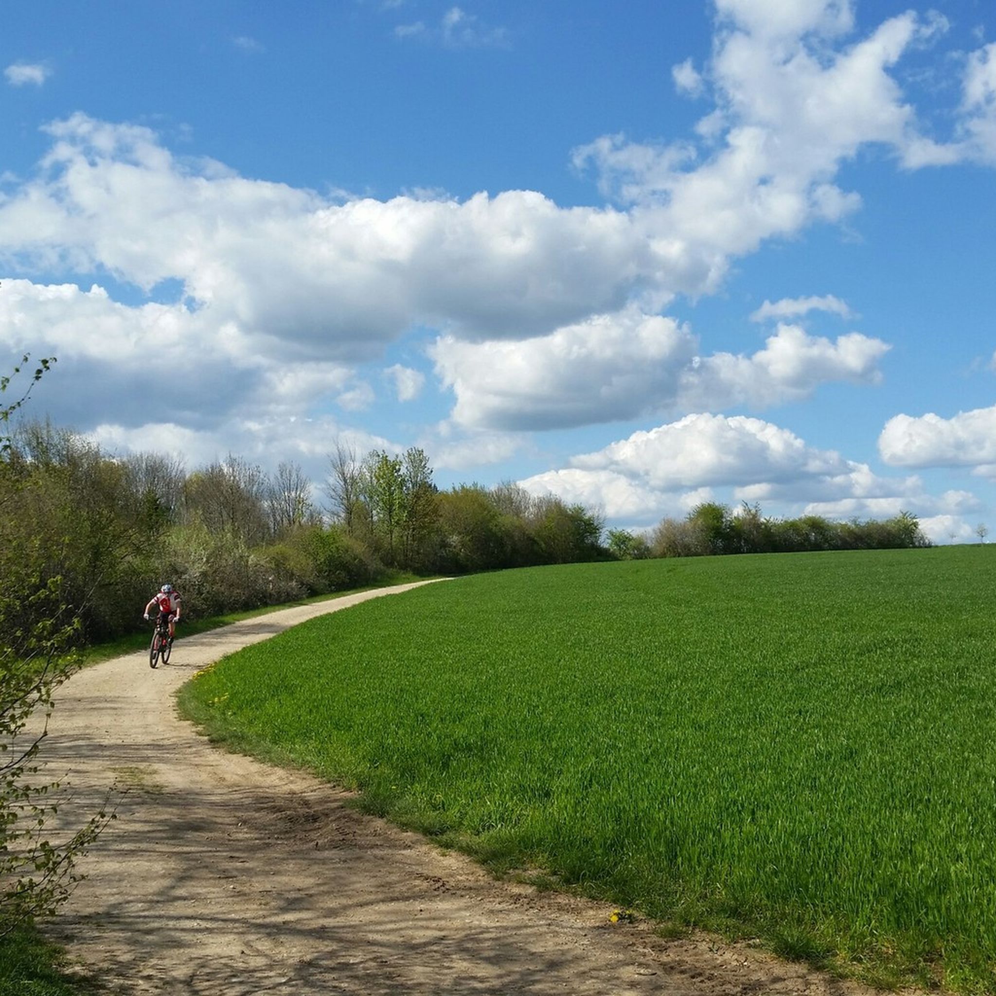
MTB Trails around Weißenohe
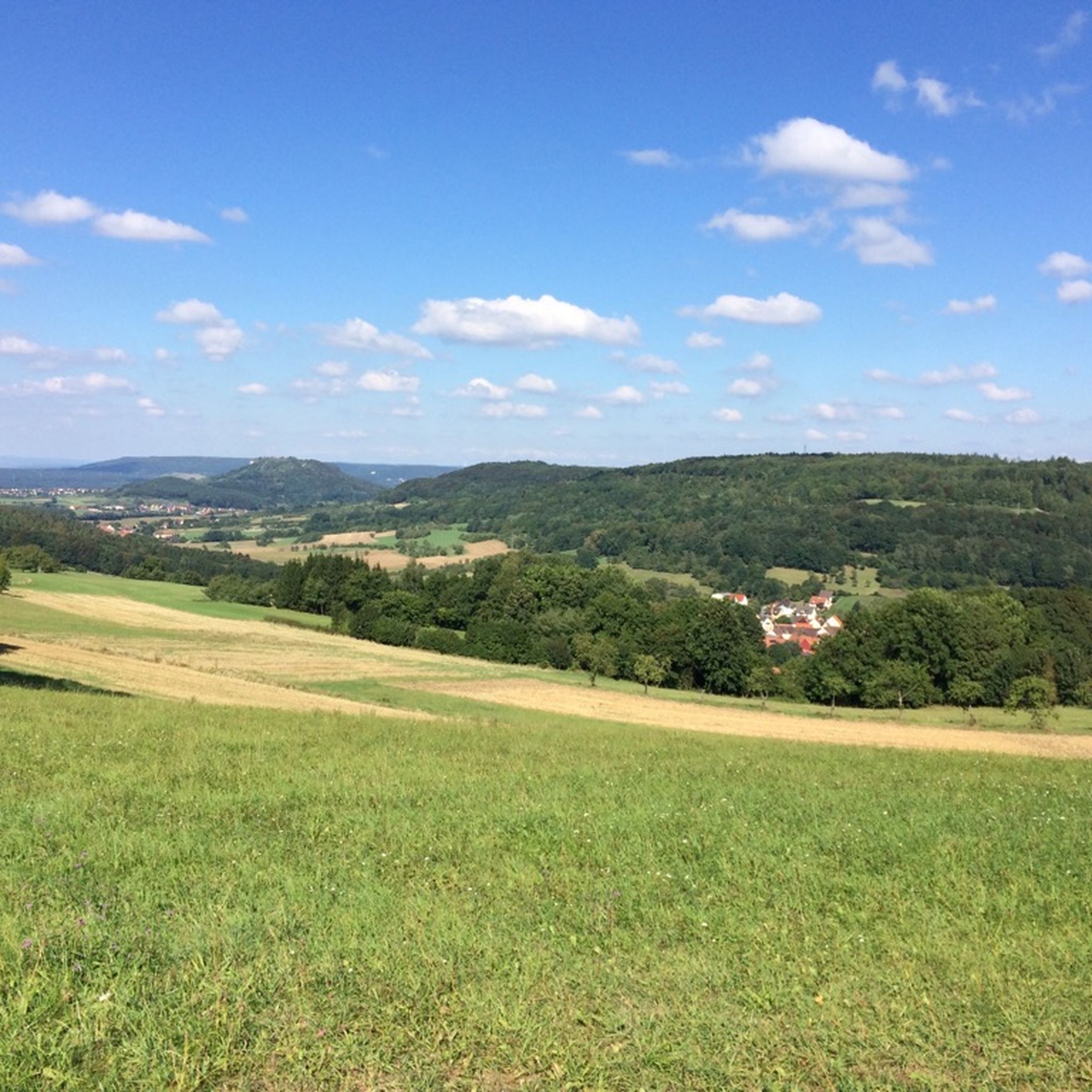
Cycling around Weißenohe
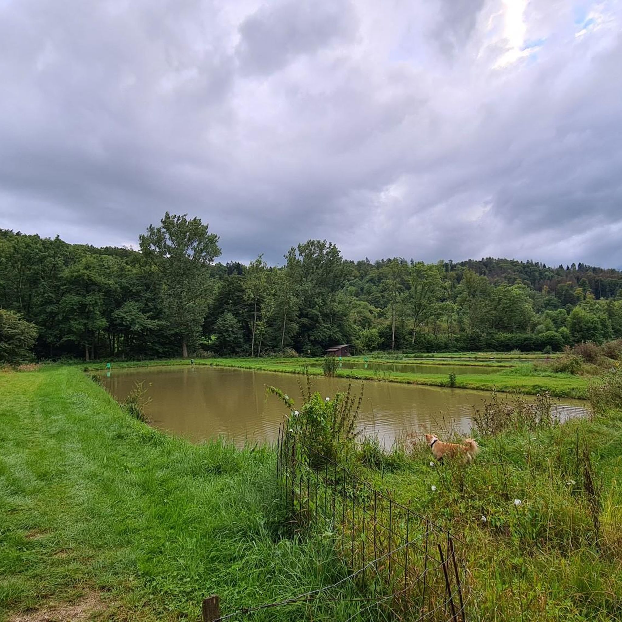
Road Cycling Routes around Weißenohe
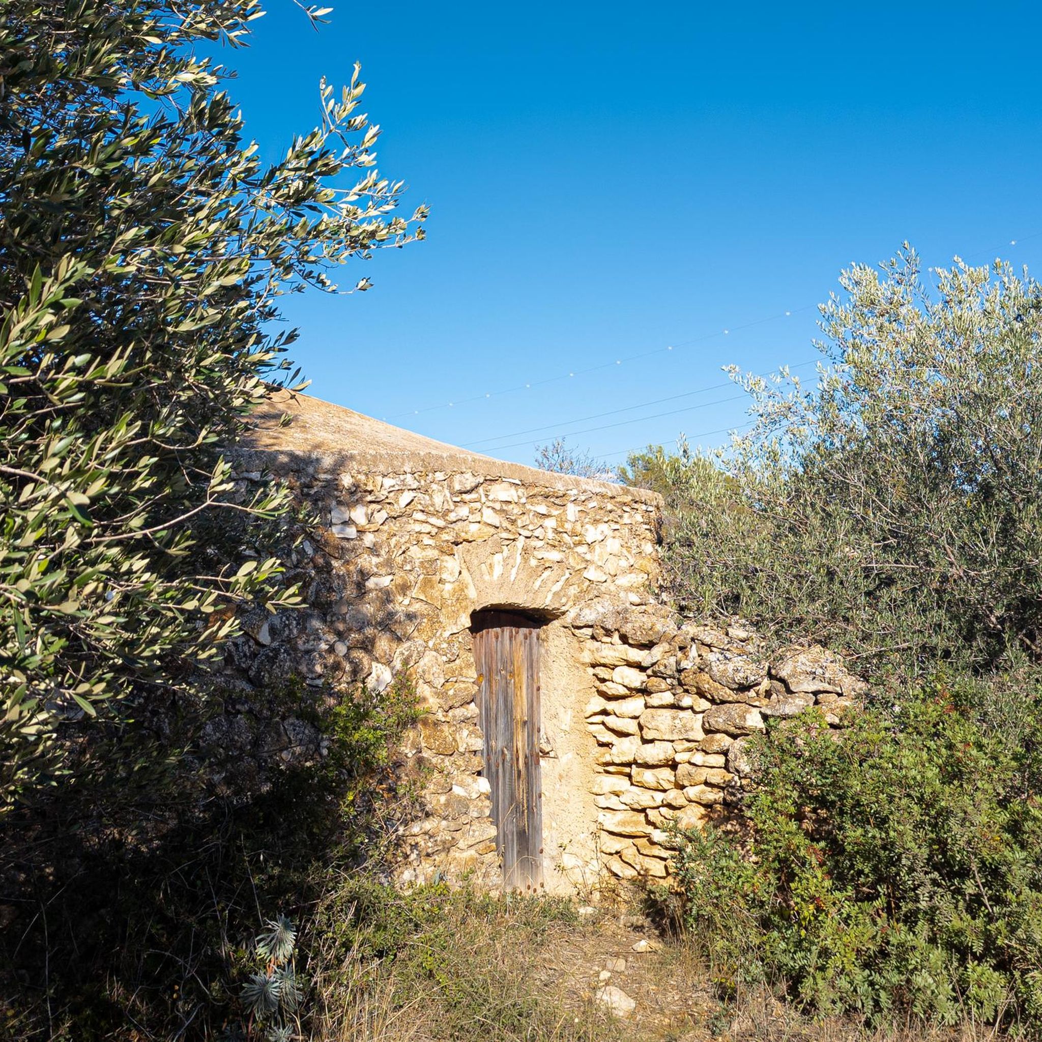
Gravel biking around Weißenohe
Other adventures around Weißenohe


Tips from the Community

Located directly on the road, goat enclosure where you can also feed, you have to be patient to see
0
0

The Frauenhöhle natural monument is located north of Egloffstein Castle.
4
0

located directly on the road, possibility to buy food on site, nice for a short stop with children
0
0

It's quite a climb, but the effort is worth it! The Hollow Church, an impressive dolomite rock formation with a passage and viewpoint, is definitely a highlight of the area!
4
0

Very beautiful little cave system that has not been converted to be suitable for tourists. So remember to wear good shoes and bring a lamp.
3
1

A typical Franconian cave, but the route is poor for mountain bikes. At the moment it is difficult to go down with a mountain bike because of the many tree trunks lying across it. Komoot also leads you to a fenced-in property that you have to go around behind a thick hedge.
1
0

Interesting with the upper cave, into which you could penetrate up to 35 m deep if the slippery ground allows it. The lower cave was once planned as a show cave (lorry tracks), but collapsed. The third cave is only about 4 meters deep and a little more difficult to reach.
1
0

Think about the flashlight. A kind of rock cellar that can be visited
0
0
Frequently Asked Questions
What are some of the most notable caves to visit around Weißenohe?
The region around Weißenohe, part of Franconian Switzerland, offers several impressive caves. Key highlights include the Hohle Kirche Cave, known for its dolomite rock formation and panoramic views, and the Frauenhöhle (Women's Cave), a natural karst cave offering a more undeveloped caving experience. Another significant spot is Höllenstein Cave, featuring a large archway and bizarre rock formations.
Are there any family-friendly caves or activities suitable for children?
While specific 'family-friendly' categories aren't listed for all caves, the Hohle Kirche Cave, with its impressive rock formation and viewpoint, can be an exciting destination for families. The journey to these caves often involves picturesque wooded and meadow landscapes, making the overall experience enjoyable for all ages. For undeveloped caves like Frauenhöhle, good footwear and a lamp are advisable, which might be more suitable for older children or those with caving experience.
What kind of natural features can I expect to see in the caves around Weißenohe?
The caves around Weißenohe are primarily natural karst formations. You can expect to see impressive dolomite rock formations, natural passages, and through caves. Some, like Höllenstein Cave, feature bizarre rock formations and large archways. Many caves also offer viewpoints with panoramic vistas of the surrounding valleys, such as the Trubachtal from Hohle Kirche Cave.
Are there historical sites or castle ruins near the caves?
Yes, the region combines natural beauty with historical significance. For instance, the Stierberg Castle Ruins include a partly artificial cave that runs through the castle rock. Similarly, the Strahlenfels castle site also has a small cave that likely served as a storage room for the castle residents. These sites offer a blend of natural exploration and historical context.
What outdoor activities can I combine with a visit to the caves?
The area around Weißenohe is excellent for various outdoor activities. You can find numerous routes for Mountain Hikes, including trails like the 'Eibgrat – Eibgrat Ridge loop from Spies'. For cyclists, there are Gravel biking routes, such as the 'Energiewald Gravel Path – Brander Weiher loop from Forth'. Runners can explore Running Trails like the 'Lillach Valley Trail – Lillach Spring loop from Weißenohe'.
What should I bring when exploring undeveloped caves like Frauenhöhle?
For undeveloped caves such as the Frauenhöhle (Women's Cave), it is highly advisable to wear good footwear due to potentially slippery terrain. A reliable lamp or headlamp is also essential, as these caves are not lit and can be very dark, with light and sound quickly fading after entering.
Are the caves around Weißenohe accessible in winter?
Some natural caves, particularly undeveloped ones like Frauenhöhle, may be less accessible or even closed during winter months to protect hibernating animals, such as bats. It's always best to check local conditions or specific cave information before planning a winter visit.
How long does it typically take to explore a cave in the Weißenohe area?
The time required to explore a cave varies. For a cave like Hohle Kirche Cave, which involves an uphill climb to a viewpoint, you might spend 30 minutes to an hour at the site itself, plus hiking time. Undeveloped caves like Frauenhöhle might take longer if you venture deeper, but generally, individual cave explorations are relatively short, often combined with longer hikes in the surrounding landscape.
Are there any viewpoints associated with the caves?
Yes, several caves in the region offer excellent viewpoints. The Hohle Kirche Cave provides panoramic views of the Trubachtal. Similarly, Höllenstein Cave features a lookout point on its rock formations. These spots are often highlights for visitors seeking scenic vistas.
What is the general difficulty level for accessing these caves?
Accessing the caves around Weißenohe can range from intermediate to challenging. For example, Hohle Kirche Cave is rated intermediate, while Frauenhöhle is considered challenging due to its undeveloped nature and potentially slippery conditions. Many involve uphill climbs or navigating natural forest paths.
Can I find circular walks that include these caves?
Yes, the caves are often integrated into longer hiking routes. The picturesque wooded and meadow landscapes of Franconian Switzerland lend themselves well to circular walks that can incorporate visits to these natural monuments. You can explore various Mountain Hikes around Weißenohe to find routes that pass by or lead to these caves.
Most popular routes around Weißenohe
Most popular attractions around Weißenohe

Get inspired with the komoot mobile app


Explore more
Extend your search for the best caves by checking out these guides of the top ones around Weißenohe:
