The 7 Most Amazing Peaks around Schürdt
Best mountain peaks around Schürdt are found within the Westerwald low mountain range, a region characterized by rolling hills, extensive meadows, and forests. Schürdt, located in Rhineland-Palatinate, serves as a gateway to these elevations. The area offers diverse landscapes and geological formations, making it suitable for outdoor recreation. Visitors can explore various summits and viewpoints that provide perspectives of the surrounding natural environment.
Best mountain peaks around Schürdt
- The most popular mountain peaks is Raiffeisen Tower on Beulskopf, a…
Last updated: July 10, 2026
Raiffeisen Tower on Beulskopf
Highlight • Viewpoint
Translated by Google •
Tip by

Hohenschauberg (389 m)
Highlight • Summit
Translated by Google •
Tip by

Sign up now to discover places like this
Get recommendations on the best single tracks, peaks, & plenty of other exciting outdoor places.
Sign up for free
View from Bertenauer Kopf Shelter
Highlight • Viewpoint
Translated by Google •
Tip by

Hoher Schaden
Highlight • Summit
Translated by Google •
Tip by

View of the Siebengebirge from Keuenhofer Wiesen
Highlight • Viewpoint
Translated by Google •
Tip by

Sign up for free to discover even more peaks around Schürdt.
Sign up for free
Already have an account?
Start today with a free account
Your next adventure awaits.
Login or Signup
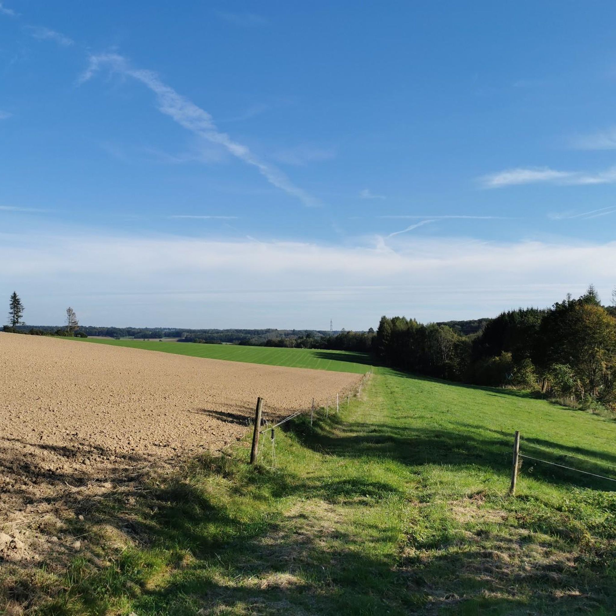
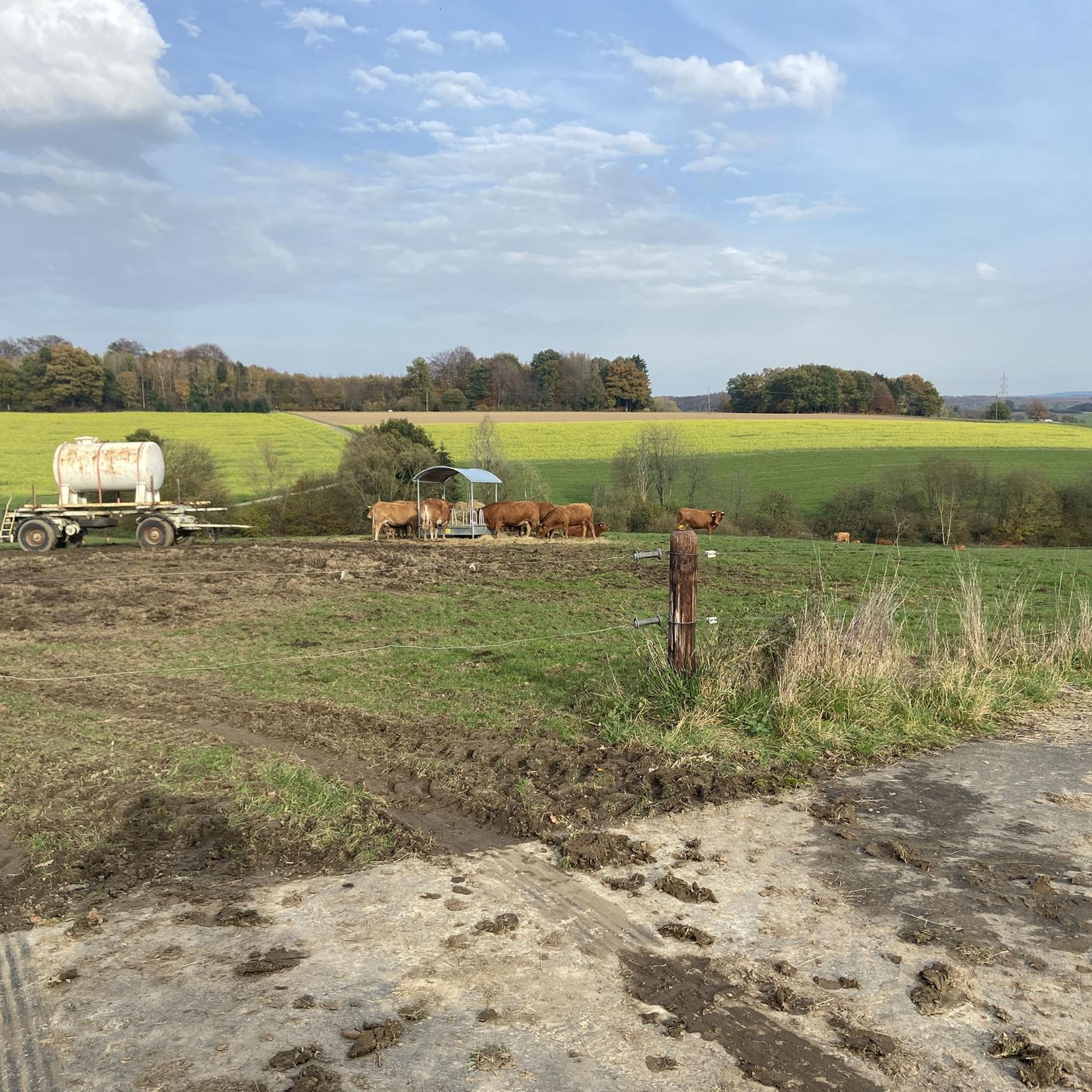
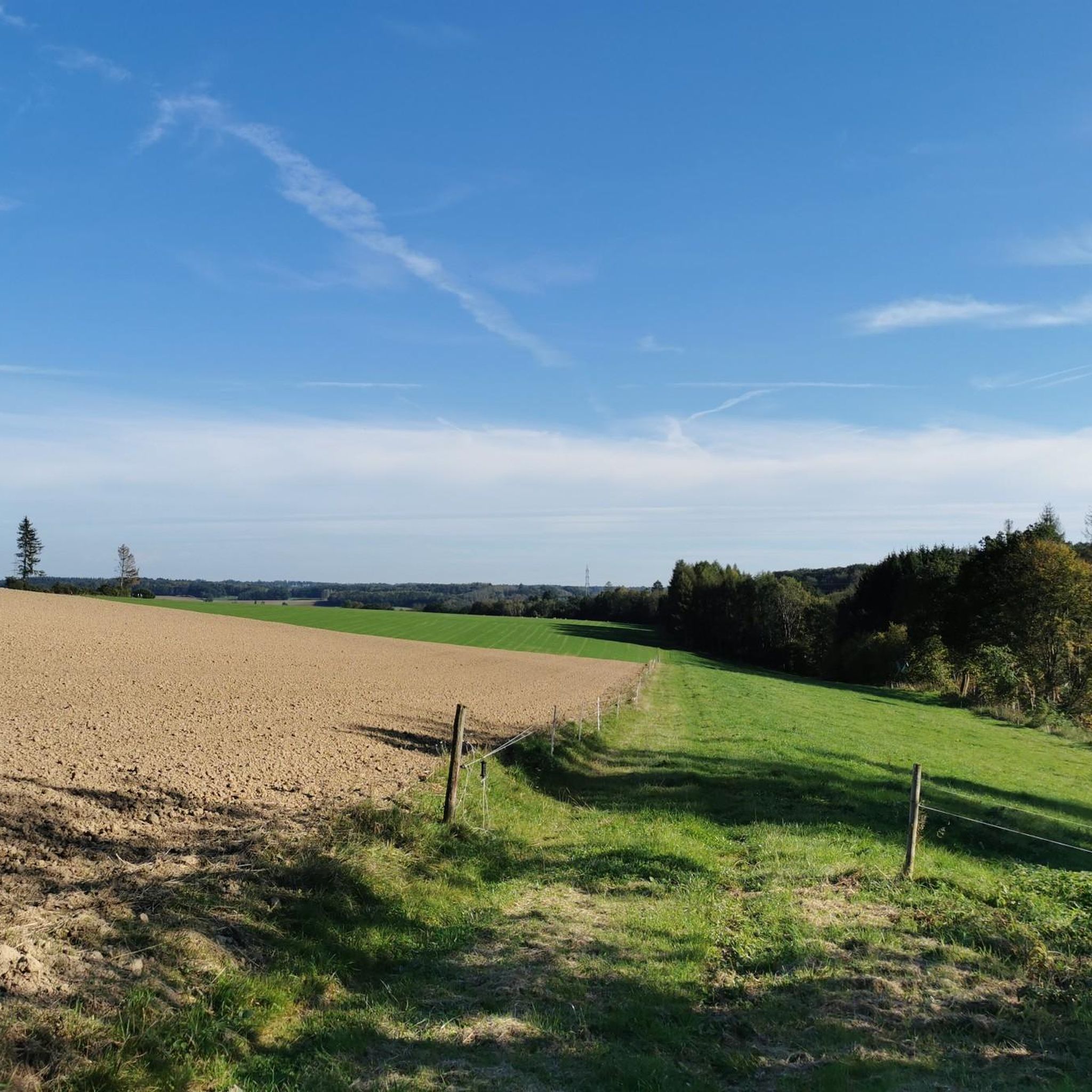
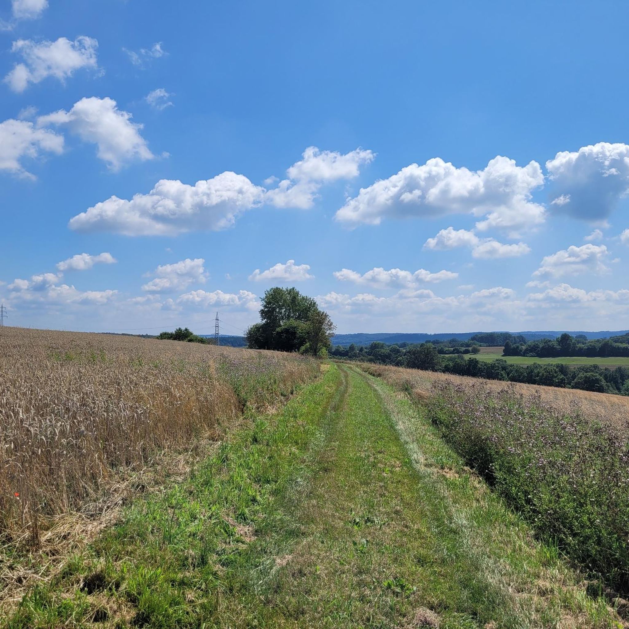
Tips from the Community

The Hohe Schaden is not 988 m but only 388.2 m above sea level
0
0

Great view and then an interesting trail down to Bitze follows, but the climb is challenging without an e-bike
0
0

Beautiful shelter with a great view.
3
0

Why is the mountain called that?
0
0

The view extends as far as the Siebengebirge. At least you are well protected from rain if it is not too stormy.
1
0


There is a refuge on the summit of the Bertenauer Kopf. When it's windy, there's a draft in the hut, at least on your head. From there you have a great view towards the Siebengebirge!
5
0

If a peak has a name like that, then you have to go up there, right?
2
0
Frequently Asked Questions
What are some of the most notable mountain peaks in the wider Westerwald region accessible from Schürdt?
While Schürdt itself is within the Westerwald, the broader region offers several significant elevations. The highest is Fuchskaute (657.3 m), an extinct volcano offering extensive views. Other notable peaks include Stegskopf (654.4 m) and Salzburger Kopf (654.2 m), known for its ski piste and views. Höllberg (643 m) is another significant elevation in the area.
Which mountain peaks around Schürdt offer the best panoramic views?
For exceptional panoramic views, consider visiting the Raiffeisen Tower on Beulskopf. After ascending 180 steps, you'll be rewarded with a vast all-round view. Another great spot is the View from Bertenauer Kopf Shelter, which provides distant views towards the Siebengebirge. The summit of Hoher Schaden also offers a great prospect of the surrounding area.
Are there any unique natural monuments or geological formations to explore near Schürdt?
Yes, the Westerwald region is known for its diverse geology. A particularly impressive natural monument is the Druidenstein, a bizarre, approximately 20-meter-high basalt cone that is visible from afar and located along the Druidensteig trail. Additionally, the Stenzelberg Rock Formations in the Siebengebirge area feature unique latite rock formations with a history as a quarry.
What kind of outdoor activities can I do near the mountain peaks around Schürdt?
The region around Schürdt is ideal for various outdoor activities. You can find numerous routes for hiking, road cycling, and general cycling. For hiking, explore trails like the 'Bridge over the Wied – View of Seifen loop' or the 'Open-air stage Mehren – Mehrbach loop'. Cyclists can enjoy routes such as the 'Obererbach – Wied Bridge near Almersbach loop' for road cycling or the 'Wooden bridge over the Wied – Wied Valley loop' for touring. You can find more details on these activities in the dedicated guides for Hiking around Schürdt, Road Cycling Routes around Schürdt, and Cycling around Schürdt.
Are there family-friendly mountain trails or viewpoints suitable for children near Schürdt?
Yes, the region offers options for families. The View of the Siebengebirge from Keuenhofer Wiesen is categorized as family-friendly and features an exciting bee educational trail. While not explicitly listed as 'easy' for all highlights, many trails in the Westerwald are characterized by gently rolling hills, making them accessible for family outings. Always check the specific trail difficulty before heading out.
What is the best time of year to visit the mountain peaks around Schürdt for hiking?
The Westerwald region, especially the High Westerwald where some of the higher peaks are located, experiences a cooler climate. Summer days are generally pleasant for hiking. The autumn offers beautiful foliage, making it a scenic time for walks. Winters can bring snow, which is suitable for winter hiking, particularly in areas like Fuchskaute. Spring also offers fresh greenery and blooming landscapes.
What do visitors enjoy most about the mountain peaks and viewpoints near Schürdt?
Visitors frequently praise the stunning panoramic views, especially from spots like the Raiffeisen Tower on Beulskopf and the View from Bertenauer Kopf Shelter. The natural beauty, diverse landscapes, and the tranquility of the extensive forests and meadows are highly appreciated. The komoot community has contributed over 500 upvotes and more than 400 photos, highlighting the appeal of these locations for outdoor activities and scenic photography.
Are there any challenging mountain climbs or hikes in the Schürdt area?
While the Westerwald is generally a low mountain range with rolling hills, some routes offer more challenging sections. For instance, the 'Open-air stage Mehren – Mehrbach loop from Giershausen' is listed as a difficult hiking route. The Hoher Schaden Summit (988 m), despite its name, is a summit that involves some ascent and descent, with tips mentioning MTB single trails, indicating varied terrain. Always check the difficulty ratings for specific routes.
Can I find circular hiking routes around the mountain peaks near Schürdt?
Yes, many hiking routes in the Westerwald region are designed as circular walks, allowing you to start and end at the same point. For example, the 'Bridge over the Wied loop from Flammersfeld' is a moderate circular hike. You can explore various circular options in the Hiking around Schürdt guide to find routes that suit your preferences.
Are there any historical sites or points of interest associated with the mountain peaks in the Westerwald?
Yes, the region has some historical connections. The Stegskopf, one of the highest points, has historically featured a viewing tower and is near the Daaden Training Area. The Stenzelberg Rock Formations have a history as a quarry since the 11th century, with its stone used in significant buildings like the Bonn Minster. Additionally, near the View from Bertenauer Kopf Shelter, you can find old foundations of a cable car that transported basalt from nearby quarries.
What is the highest point in the Westerwald region?
The highest mountain in the Westerwald is Fuchskaute, reaching an elevation of 657.3 meters above sea level. It is an extinct volcano located near Willingen and offers extensive views of the surrounding landscape.
Most popular attractions around Schürdt

Get inspired with the komoot mobile app


Explore more
See even more amazing summits around Schürdt with these guides:
