The 9 Most Amazing Peaks around Seßlach
Best mountain peaks around Seßlach are found within an undulating landscape in northern Bavaria, Germany. This region features elevated natural features and scenic viewpoints rather than towering alpine summits. The area provides opportunities for exploration, offering impressive vistas of the Upper Franconian countryside and the nearby Haßberge Nature Park. Numerous hiking trails lead to these points of interest.
Best mountain peaks around Seßlach
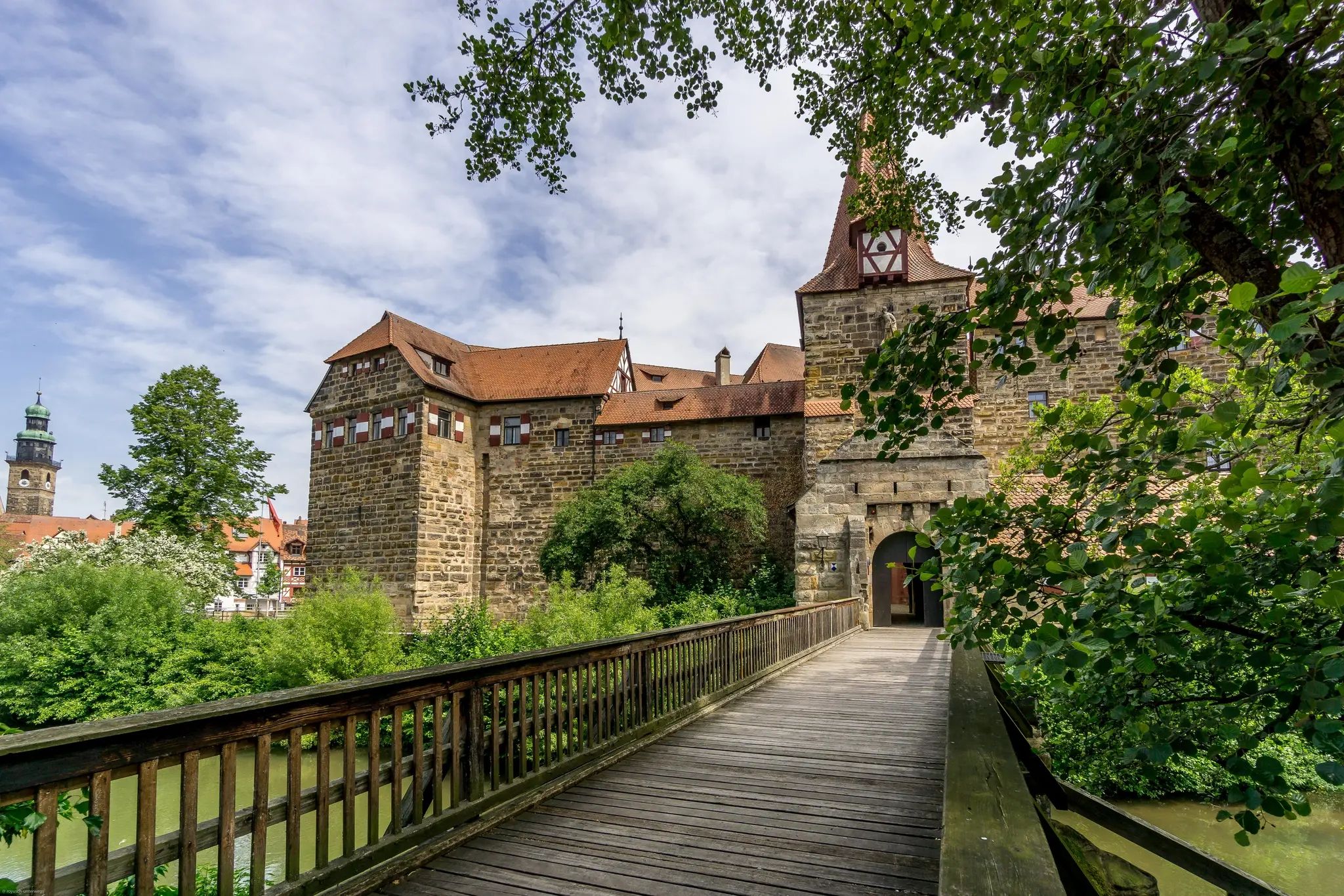
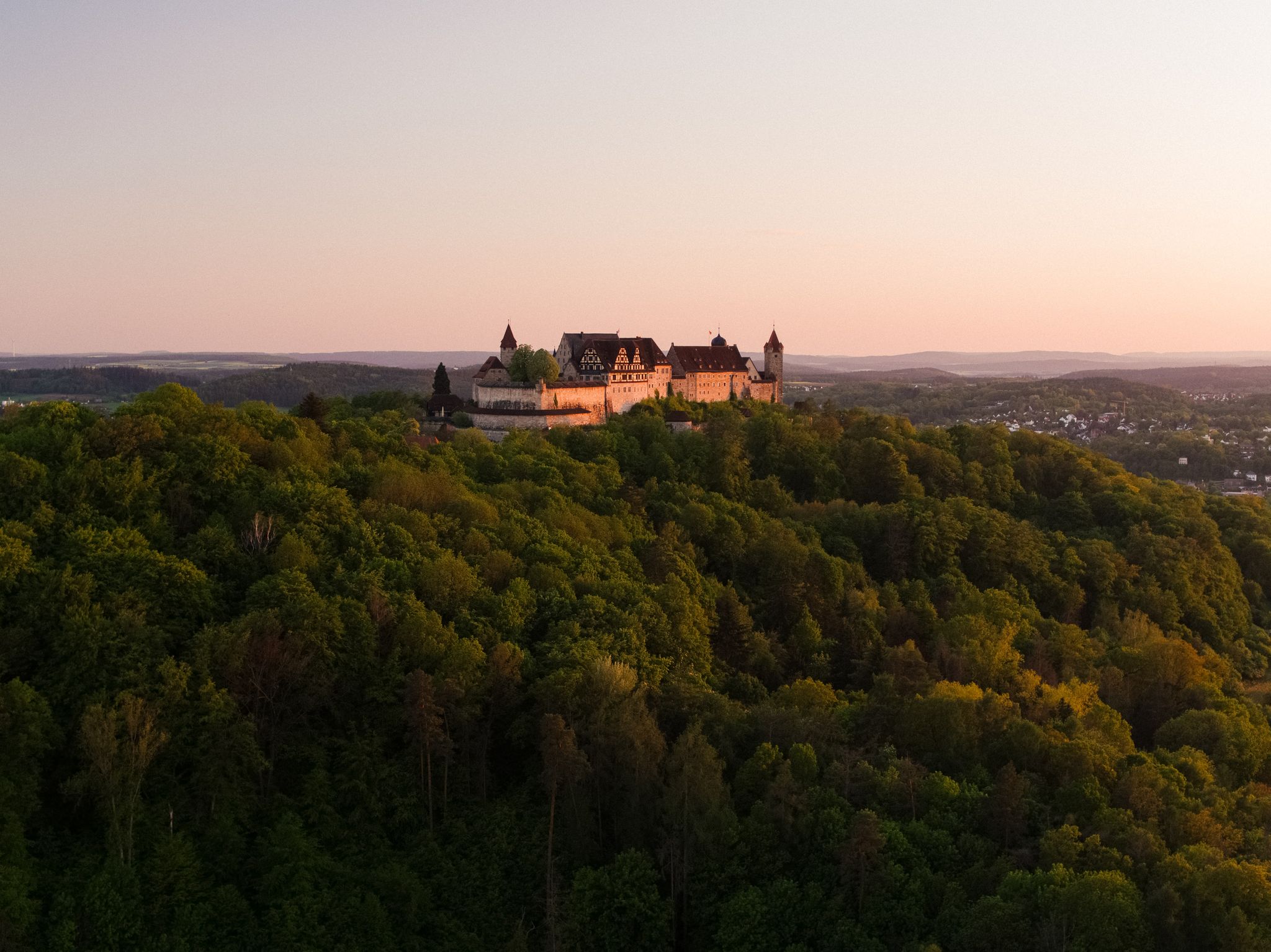
- The most popular mountain peaks is Heldburg Fortress, a castle that houses the German Castle Museum.…
Last updated: July 10, 2026
Heldburg Fortress
Highlight • Castle
Translated by Google •
Tip by

Kulch Summit and Ring Wall (483 m)
Highlight • Summit
Translated by Google •
Tip by

Sign up now to discover places like this
Get recommendations on the best single tracks, peaks, & plenty of other exciting outdoor places.
Sign up for free
Haubeberg Summit (Communications Tower)
Highlight • Monument
Translated by Google •
Tip by

Buchberg
Highlight • Summit
From …
Translated by Google •
Tip by

View of Bleßberg and the Lange Berge
Highlight • Viewpoint
Translated by Google •
Tip by

Sign up for free to discover even more peaks around Seßlach.
Sign up for free
Already have an account?
Start today with a free account
Your next adventure awaits.
Login or Signup
Popular around Seßlach


Tips from the Community

You will pass by here as part of the HINTERINDIEN.DE tour no. 31.
0
0

On the path leading up to Heldburg Fortress in Thuringia, you'll eventually come across a linden tree split in two. A sign is attached to the hollow of this tree, and I'd like to tell you about it now: "Castle Linden of Heldburg Fortress – Large-leaved Summer Linden. Wanderer, pause! Read my story here: In 1791, I was planted by the then Ducal Court Secretary, Johann Daniel Bechmann (1768-1826), from Heldburg. That's why I was also called the Bechmann Linden. Around 1960, lightning destroyed my beautiful crown and split the trunk. Duke George II of Saxe-Meiningen (1826-1914) and his wife, Baroness von Heldburg (1839-1923), often lingered in the shade of its spreading branches when they resided here at the fortress during the summer months." Source: https://menosgada.wordpress.com/2013/02/07/die-schlosslinde-der-veste-heldburg/
10
0

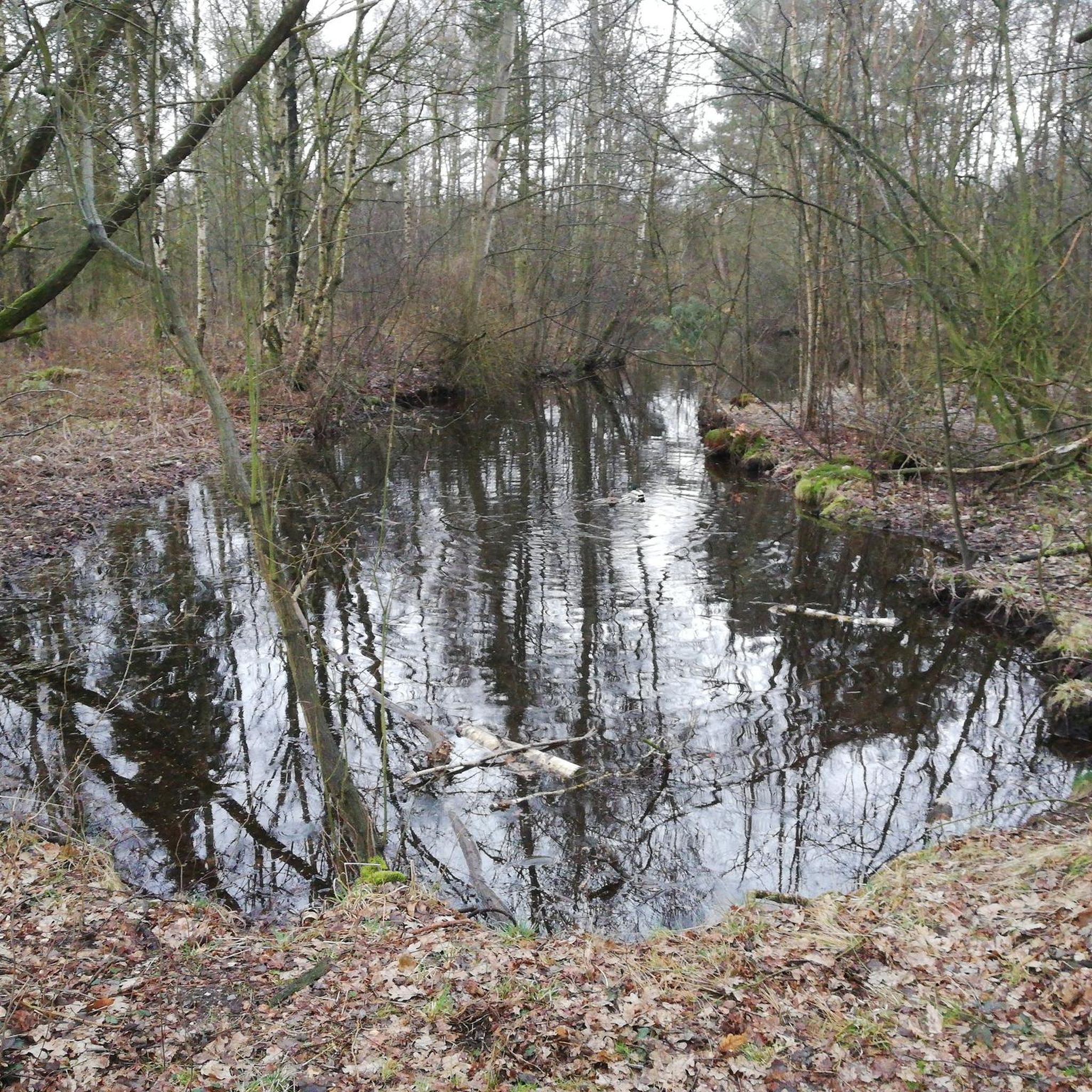
A completely normal mountain where a radio mast stands. Not 300 meters further is the Raueneck ruins
1
0

With a lot of imagination you can imagine the system at that time.
3
0
The 867 meter high Bleßberg summit with its observation tower, newly built in 1997, offers a unique view of Franconia, the Fichtel Mountains, the Rhön and the Thuringian Forest. On the horizon you can see the striking contours of the Staffelstein near Lichtenfels, the Vierzehnheiligen pilgrimage church, the Veste Coburg, almost within reach, and a silhouette of the Banz monastery. The Bleßberg plateau can be reached on well-developed hiking trails from all directions and during the day by car directly from the B 281 near the Werraquelle Siegmundsburg. We recommend the short, steep climb starting from the Itzquelle Stelzen and a hike along the historic border path below the Siegmundsburg Werraquelle. The hiking trails are groomed in winter using modern cross-country skiing technology, so a visit to this snow-sure area is worthwhile even in winter. The observation tower and the hiking lodge are open all year round. Source:https://www.stadt-eisfel
13
0
Everything about the restaurant can be found here: https://restaurant-veste-heldburg.de/helen-e-restaurant-und-caffee.html
9
1
The Helene castle restaurant has now opened and welcomes its guests. From the terrace you have a great view of the Gleichbergen, the Straufhain and the Henneberger Warte near Bad Rodach. The pictures were taken from the terrace around the new building. It's open Wednesday to Sunday from 11 a.m. to 5 p.m., good to know.
11
1
A new catering building was built on the terrace of the German Castle Museum in cooperation between the city of Heldburg as the client and the Thuringian Castles and Gardens Foundation. The guest room and terrace will offer space for events, celebrations and for relaxing in the historical ambience. You could already get a first impression on the day of the open monument.
15
1
Frequently Asked Questions
What are some notable elevated features and viewpoints around Seßlach?
While Seßlach is not known for towering alpine summits, the region offers picturesque elevated natural features and scenic viewpoints. Key highlights include the unique Heldburg Fortress, which provides panoramic views, and the Buchberg, offering views of surrounding fields. The Christenstein Rock Formation is another natural monument accessible via hiking routes, and the Staffelberg, though not directly in Seßlach, is a significant mountain with striking rock formations and spectacular views, even reaching Veste Coburg on clear days.
Are there any historical sites among the peaks near Seßlach?
Yes, the region around Seßlach is rich in history. A prominent historical site is Heldburg Fortress, a beautifully restored castle housing the German Castle Museum. Another significant historical feature is the Kulch Summit and Ring Wall (483 m), a wooded hilltop that suggests a larger historical facility from ancient times.
What makes Heldburg Fortress a popular peak to visit?
Heldburg Fortress is highly popular due to its status as one of Germany's most beautiful castle complexes, immaculately restored and housing the German Castle Museum. Visitors enjoy the comprehensive presentation of castle history and the unique worldwide exhibition. From its tower, you can experience panoramic views stretching across the Thuringian Forest, the Rhön, the Haßberge, and the Frankenwald.
What can I expect when visiting Buchberg?
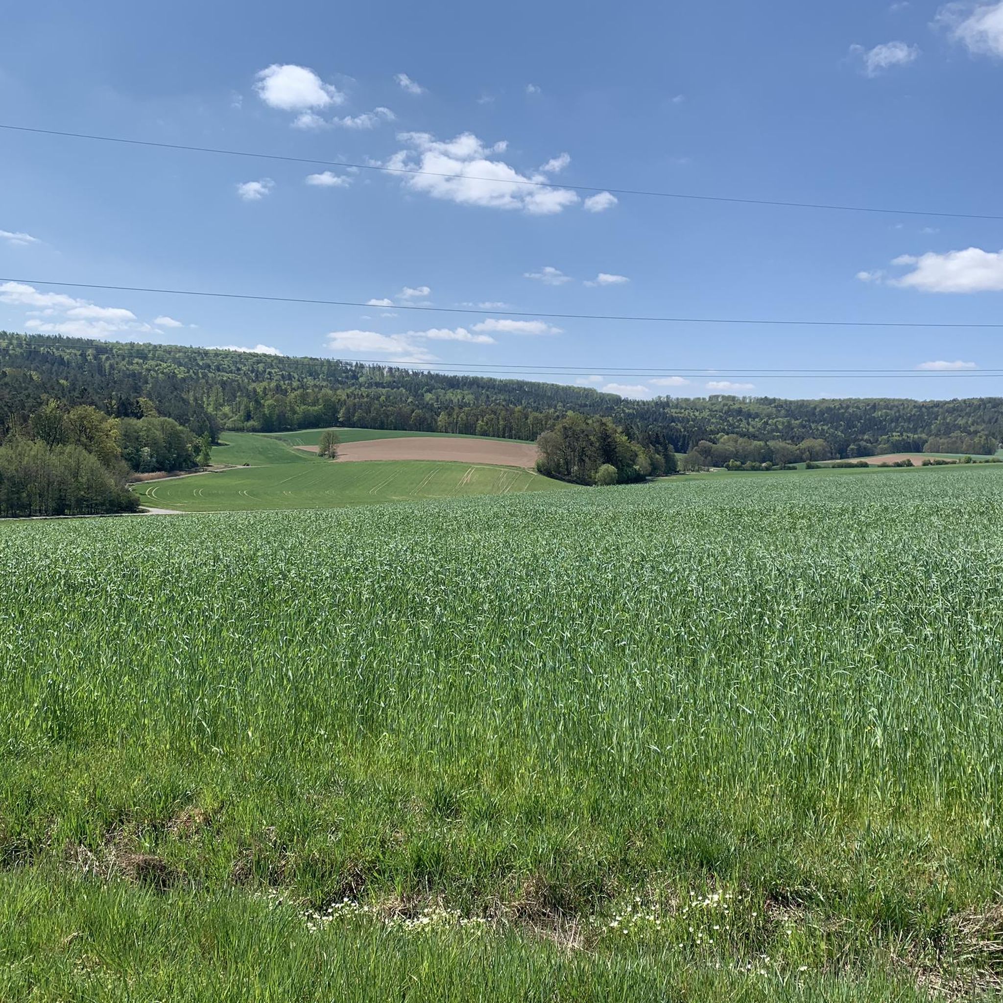
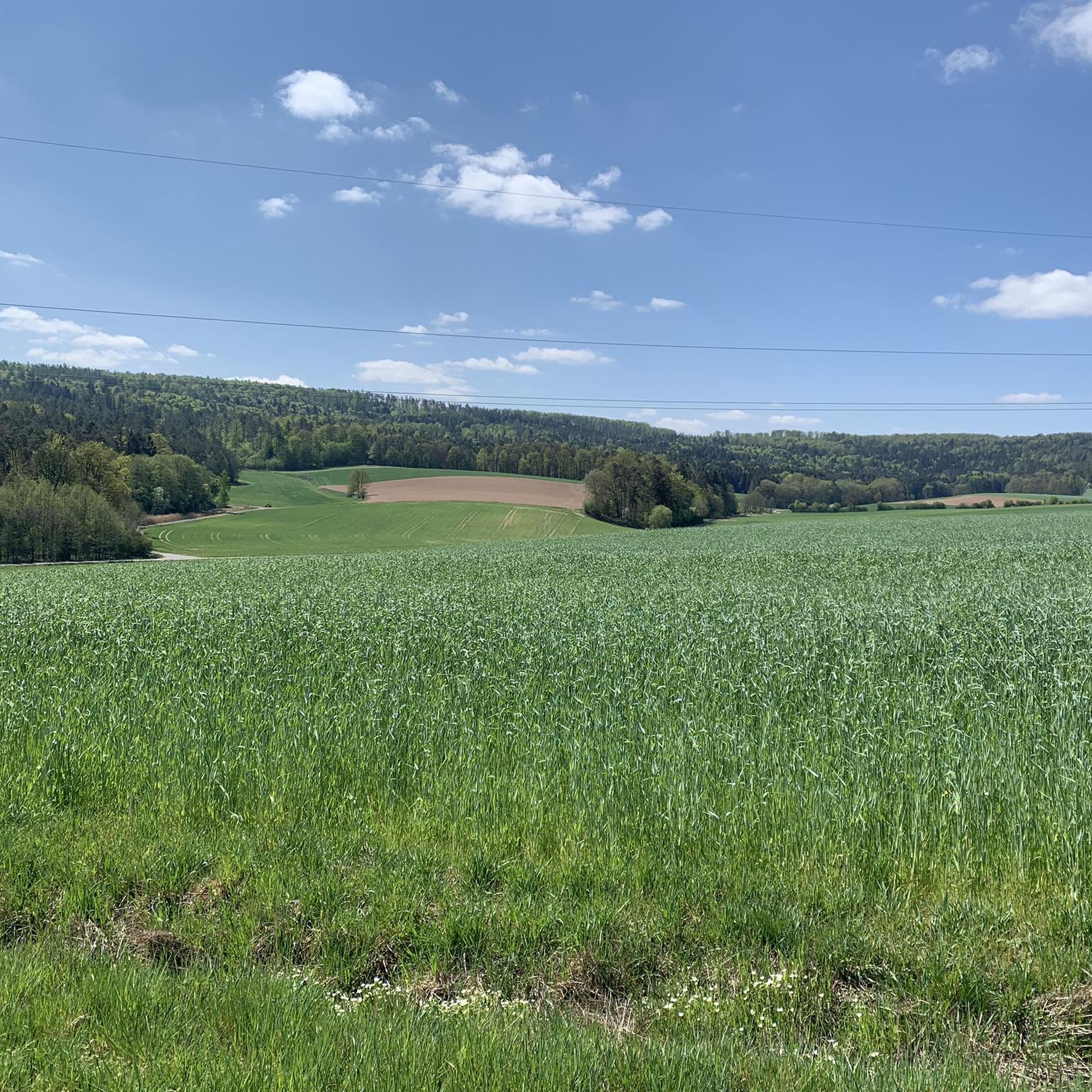
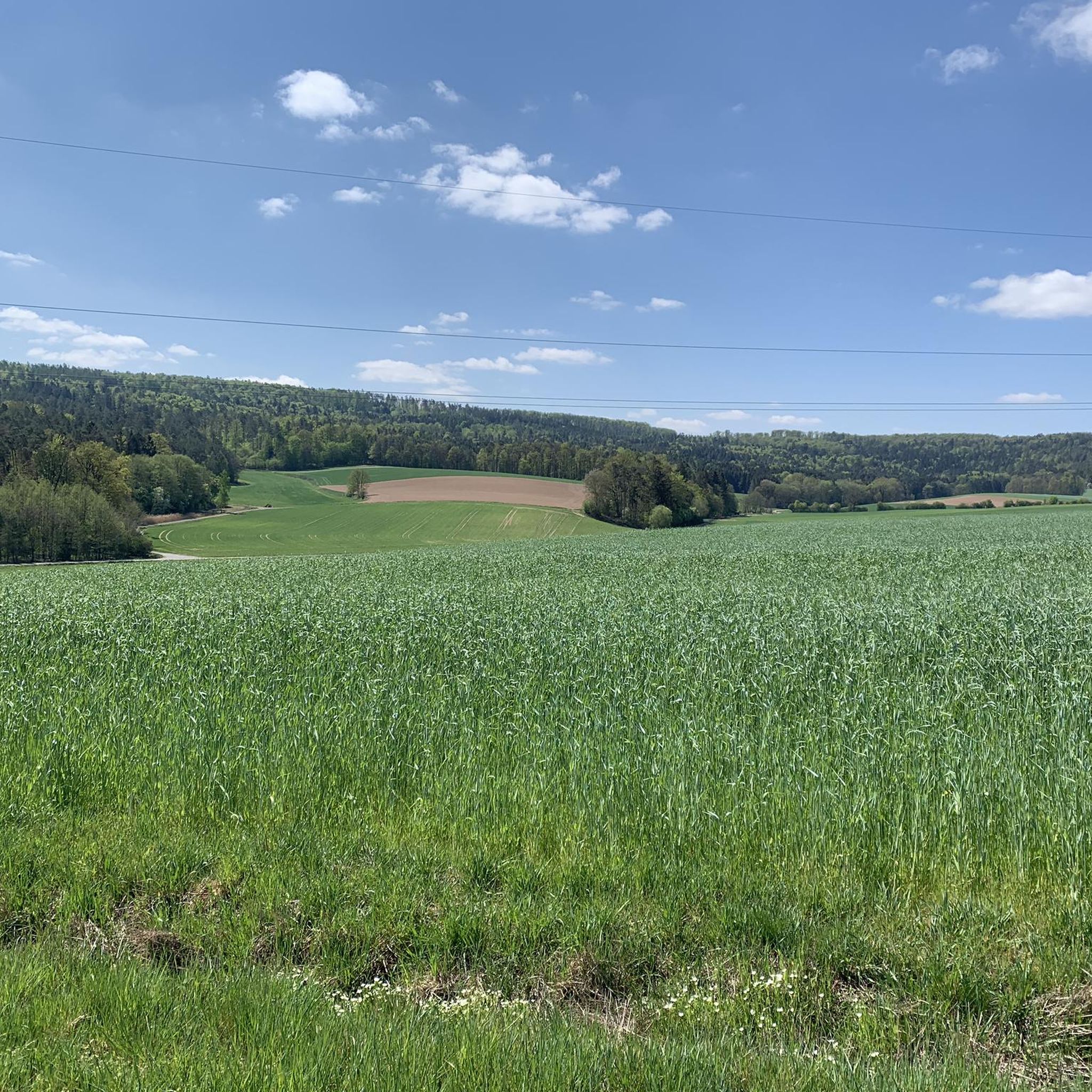
Buchberg offers a pleasant forest path experience. About halfway along the path, you'll find a bench providing views of the surrounding fields. While the 'summit' itself is wooded, the trails around it are popular for walks, though they can be muddy after rain.
What is the Kulch Summit and Ring Wall known for?
The Kulch Summit and Ring Wall (483 m) is a wooded hilltop known for its geological significance as part of the iron mountain limestone landscape. It's also a historical site, with remnants suggesting a larger ancient facility. The mountain is constructed of 40m thick iron sandstone, once valued as silver sand.
What kind of hiking trails can I find around Seßlach's elevated features?
The area around Seßlach offers a variety of hiking trails, from leisurely strolls to more challenging climbs. You can find routes like the 10.4 km circular loop from Seßlach Old Town to the Christenstein Rock Formation, or longer trails such as a 19 km route to Lichtenstein that traverses the varied landscape and offers views of the Haßberge Nature Park. For more options, explore the Hiking around Seßlach guide.
Are there family-friendly hiking options near Seßlach?
Yes, many trails around Seßlach are suitable for families. The undulating landscape and moderate elevation gains make for enjoyable outings. For example, the 10.4 km circular loop to the Christenstein Rock Formation is considered a moderate hike. When planning, look for trails with manageable distances and elevation, often found along the River Itz or leading to scenic viewpoints.
Can I go mountain biking or gravel biking near Seßlach's peaks?
Absolutely! The region around Seßlach is well-suited for cycling. You can find numerous routes for both mountain biking and gravel biking. For gravel biking, consider routes like 'Beer & wine – gravel in the Hassberge Hills' or 'Rothenberg Gate Tower – Seßlach City Wall loop'. For mountain biking, options include 'Rothenberg Gate Tower – Billmuthausen Memorial loop' or 'Tambach Castle – Goldbergsee loop'. More details are available in the Gravel biking around Seßlach and MTB Trails around Seßlach guides.
What is the best time of year to hike the peaks around Seßlach?
The best seasons for hiking around Seßlach are spring and autumn. During these times, the weather is mild, and the natural scenery is particularly vibrant, with wildflowers blooming in spring or colorful foliage in autumn. While some trails may be groomed for cross-country skiing in winter, spring and autumn offer the most pleasant conditions for hiking.
What is the general elevation of the elevated features around Seßlach?
The immediate Seßlach area is characterized by an undulating landscape rather than towering peaks. The highest point recorded in terms of general elevation for a circular route is around 398 meters, with a total ascent of approximately 280 meters on a 12.2 km route. Features like the Kulch Summit and Ring Wall reach 483 meters.
Are the trails around Seßlach dog-friendly?
Many of the hiking trails in the Seßlach region are dog-friendly, allowing you to explore the picturesque landscape with your canine companion. It's always a good idea to keep dogs on a leash, especially in nature reserves or areas with wildlife, and to carry water for them.
Are there any circular hiking routes around Seßlach?
Yes, there are several circular hiking routes available. An example is the 10.4 km circular loop from Seßlach Old Town that leads to the Christenstein Rock Formation. Other options can be found in the Hiking around Seßlach guide, such as 'Rundweg durch den Bürgerwald Seßlach' or 'Seßlach Old Town – Teufelsstein Sculpture loop'.
What should I wear for hiking in the Seßlach region?
For hiking in the Seßlach region, it's advisable to wear comfortable, layered clothing suitable for the season. Sturdy hiking shoes are recommended, especially for trails that can be muddy after rain or involve moderate ascents. Bringing water, snacks, and sun protection is also wise, regardless of the season.
Most popular routes around Seßlach
Most popular attractions around Seßlach

Get inspired with the komoot mobile app


Explore more
See even more amazing summits around Seßlach with these guides:
