The 8 Most Amazing Peaks around Schwarzhofen
Mountain peaks around Schwarzhofen are situated within the Upper Palatinate region of Bavaria, Germany, offering various elevated areas for outdoor activities. While Schwarzhofen itself has an elevation of 382 meters, the surrounding district features numerous local peaks. This area provides opportunities for hiking and exploring diverse natural landscapes. The region is part of Eastern Bavaria, known for its varied terrain.
Best mountain peaks around Schwarzhofen
- The most popular mountain peaks is Darlesberg Summit Cross, a summit that is the…
Last updated: July 10, 2026
Oberer Eibenstein Summit
Highlight • Summit
Translated by Google •
Tip by

Darlesberg Summit Cross
Highlight • Summit
Translated by Google •
Tip by

Sign up now to discover places like this
Get recommendations on the best single tracks, peaks, & plenty of other exciting outdoor places.
Sign up for free
Herrenberg Summit Cross
Highlight • Summit
Translated by Google •
Tip by

Summit Cross Thanner Berg
Highlight • Summit
Translated by Google •
Tip by

Wolfsberg (539 m)
Highlight • Summit
Translated by Google •
Tip by

Sign up for free to discover even more peaks around Schwarzhofen.
Sign up for free
Already have an account?
Start today with a free account
Your next adventure awaits.
Login or Signup
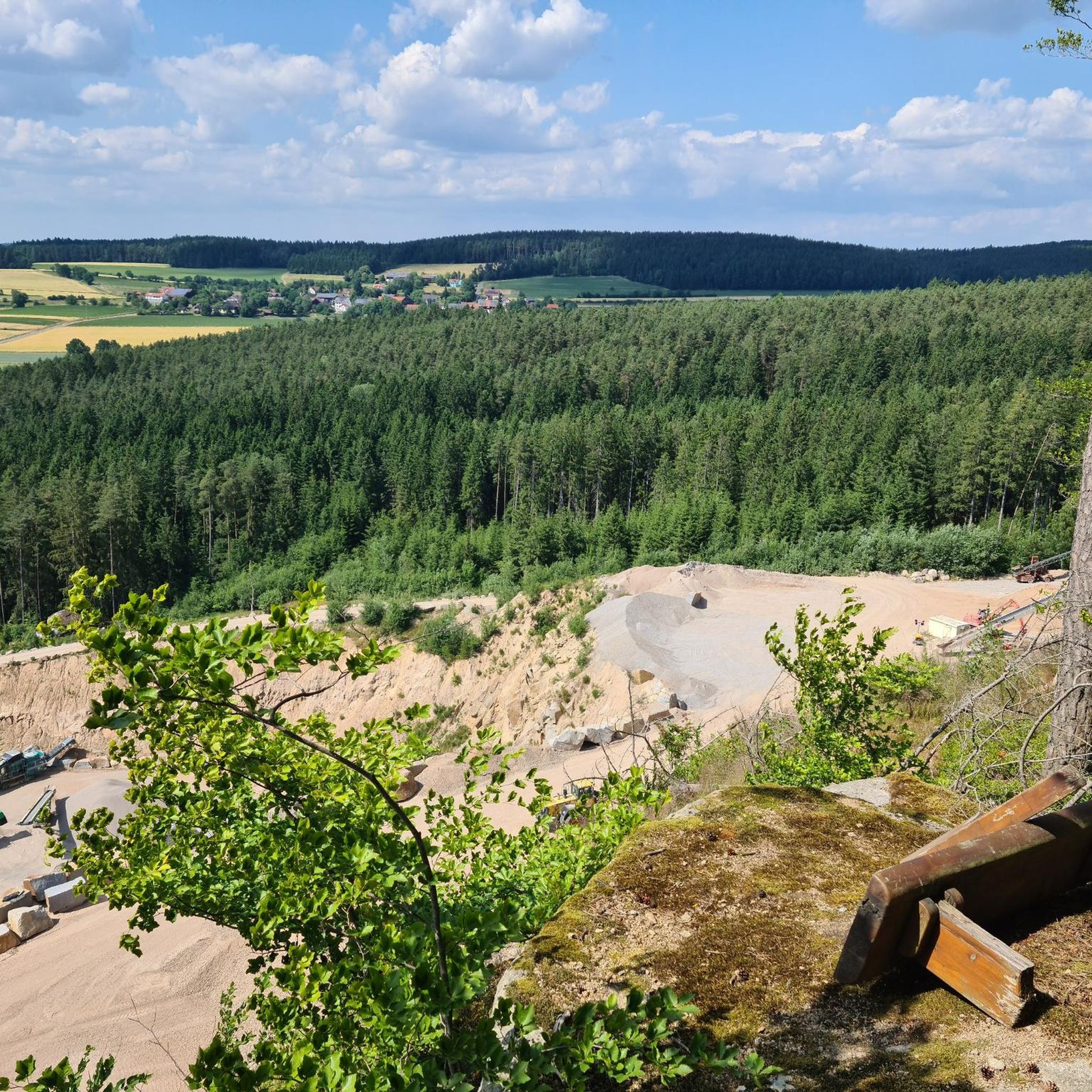
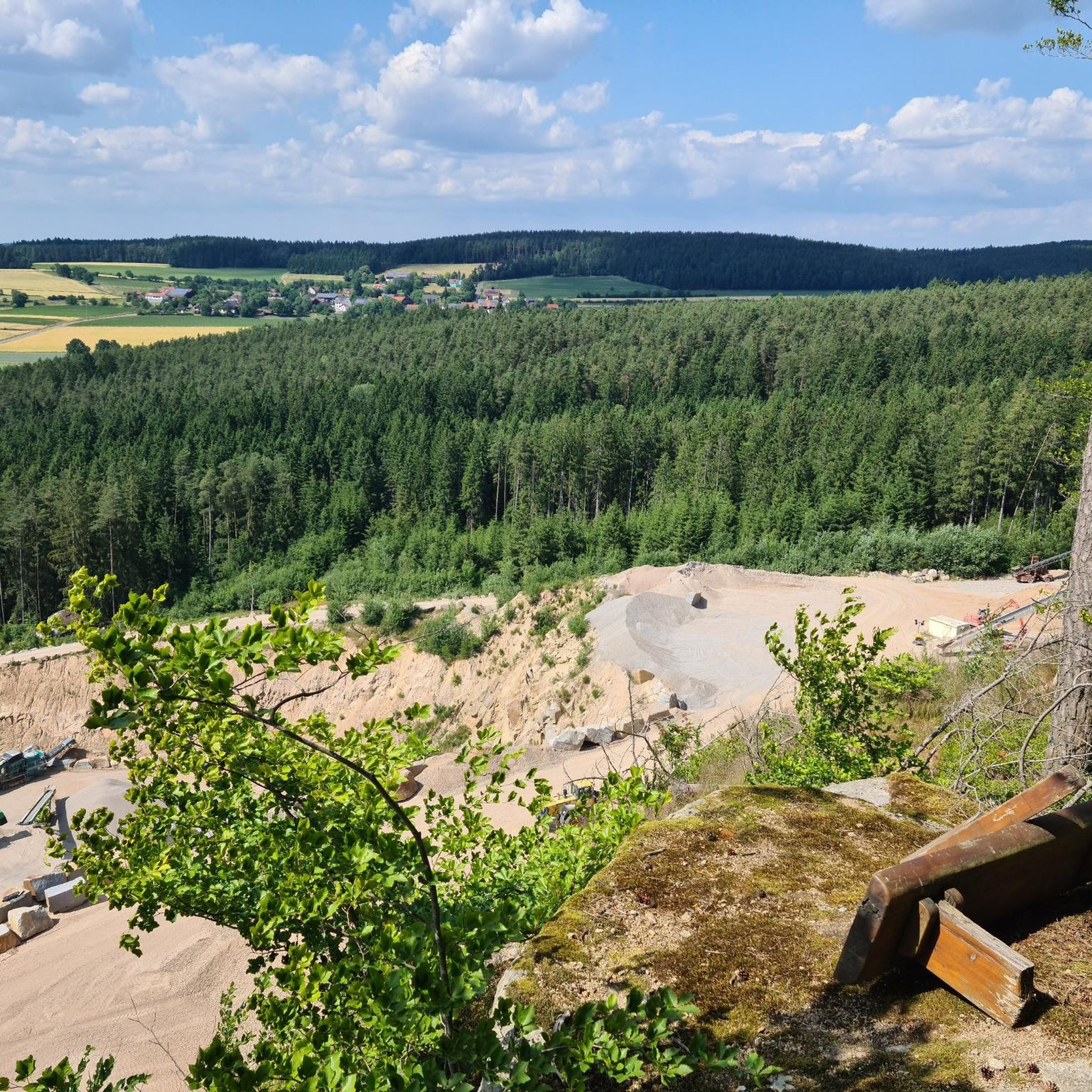
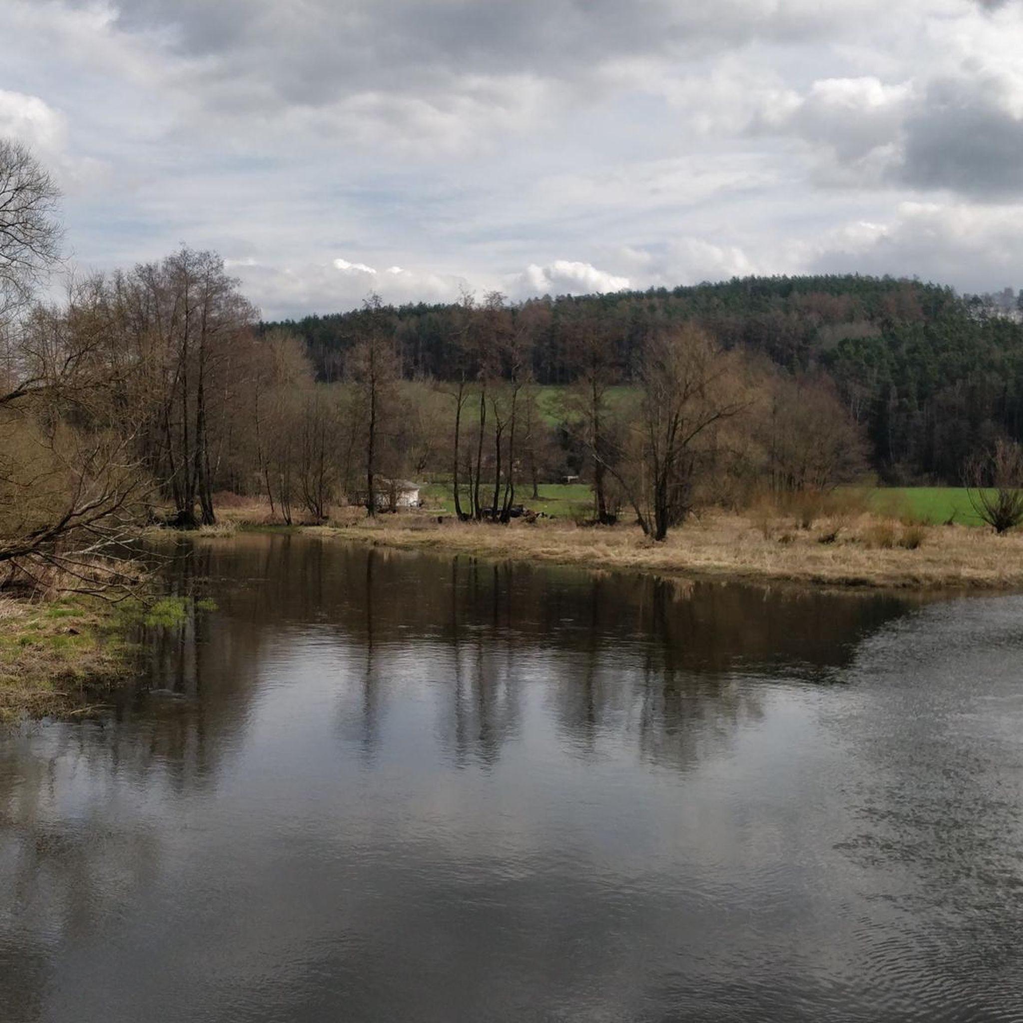
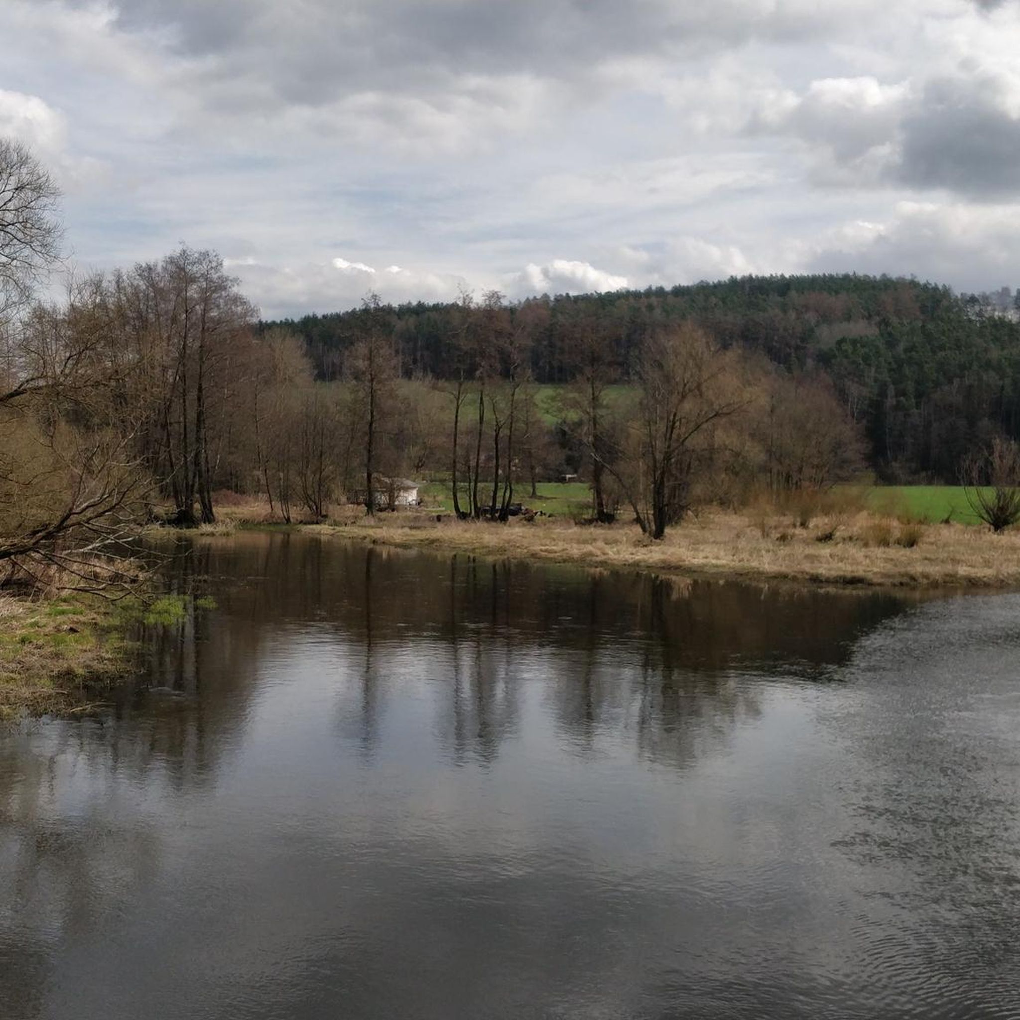

Tips from the Community

Time for a summit schnapps
0
0

Crisp ascent to the summit cross.
1
0

Beautiful summit with spectacular stretches
1
0
Wonderful landscape with many exciting sections
1
0
Wonderful stretches in a beautiful area
1
0

I can only agree: Extremely steep with loose ground, both on the ascent and the descent. Starting off again is difficult - close your eyes and through.
1
0


beautiful summit cross adorns the highest point on the Herrenberg. You shouldn't sit on the left of the two chairs because a blackberry bush has grown under it
1
0
Frequently Asked Questions
What are some notable mountain peaks in the Schwarzhofen region?
The Schwarzhofen region, part of the Upper Palatinate, offers several elevated areas for hiking. Notable peaks include the Darlesberg Summit Cross, known as the highest mountain of the Wölsenberg, and the Oberer Eibenstein Summit at 708 meters. Another significant peak is Wolfsberg (539 m), recognized as the next highest after Darlesberg in the area.
Are there any peaks with significant views around Schwarzhofen?
While some summits like the Oberer Eibenstein Summit are wooded with limited views between trees, the broader region offers options. The Kulm Observation Tower near Nabburg provides panoramic views of the Eixlberg and the Naab valley. For specific peaks, the Darlesberg Summit Cross is noted for rewarding descents after a long climb, suggesting scenic surroundings.
What kind of terrain can I expect on mountain trails near Schwarzhofen?
The terrain around Schwarzhofen's peaks varies. You can expect forest trails, as seen on the Oberer Eibenstein Summit. Some ascents, like to the Summit Cross Thanner Berg, are described as very demanding, steep, and with loose ground, roots, and pine cones. Generally, the region offers diverse natural landscapes suitable for hiking.
Are there family-friendly hiking options among the peaks near Schwarzhofen?
While specific 'family-friendly' categories aren't always explicitly listed for every peak, many local elevated areas in the Upper Palatinate offer pleasant walks. The Eixlberg, with its St. Barbara Pilgrimage Church and the Emmausklause, is a popular hiking destination that can be suitable for families looking for a break and refreshment.
What are some challenging mountain ascents in the Schwarzhofen area?
For those seeking a challenge, the ascent to the Summit Cross Thanner Berg is described as very demanding, with steep sections and loose ground. The long, steady climb to the Darlesberg Summit Cross also presents a good workout, rewarded by great descents.
Where can I find a summit cross near Schwarzhofen?
Several peaks in the region feature summit crosses. You can find a stainless steel summit cross with cardinal points at the Oberer Eibenstein Summit. The Darlesberg Summit Cross and the Herrenberg Summit Cross are also prominent landmarks. Additionally, the Summit Cross Thanner Berg was erected in 2014.
What outdoor activities are available besides hiking near Schwarzhofen's peaks?
Beyond hiking, the region around Schwarzhofen offers various outdoor activities. You can explore numerous routes for mountain biking, road cycling, and gravel biking. For detailed routes, check out the komoot guides for MTB Trails around Schwarzhofen, Road Cycling Routes around Schwarzhofen, and Gravel biking around Schwarzhofen.
Is there a highest point in the district around Schwarzhofen?
Yes, the Ebene, at 908 meters, is identified as the highest and most prominent mountain within the Landkreis Schwandorf (Schwandorf district), where Schwarzhofen is located. This peak would likely offer significant views and hiking experiences.
What do visitors enjoy most about the mountain peaks around Schwarzhofen?
Visitors appreciate the diverse natural landscapes and the opportunities for outdoor activities. The komoot community has contributed over 50 photos and 40 upvotes, highlighting the appeal of these local peaks. Specific highlights like the Darlesberg Summit Cross are loved for their rewarding descents, while the Oberer Eibenstein Summit is considered a pleasant destination for a break, even with limited views.
Are there any places to rest or get refreshments near the trails?
Yes, the region offers convenient spots for breaks. Near the Kulm Observation Tower, you can find the Gasthaus zum Kulm, where you can also obtain a key for the tower. The Eixlberg, a popular hiking destination, features the Emmausklause, managed by the OWV Pfreimd, which is an ideal place for a break, offering snacks and local Upper Palatinate beer.
What is the elevation of Schwarzhofen itself?
The municipality of Schwarzhofen itself has an elevation of 382 meters. The surrounding Schwandorf district, however, features 273 named mountains, offering a range of higher elevations for exploration.
Most popular routes around Schwarzhofen
Most popular attractions around Schwarzhofen

Get inspired with the komoot mobile app


Explore more
See even more amazing summits around Schwarzhofen with these guides:
