The 12 Most Amazing Peaks around Bechtsrieth
Best mountain peaks around Bechtsrieth are situated within the Northern Upper Palatinate Forest Nature Park in Bavaria, Germany. The municipality itself lies at an elevation of 452 meters above sea level. The region is characterized by its forested landscape, with the Gleitsbach river flowing through its old town center. While prominent mountain peaks are not directly within Bechtsrieth, the surrounding area offers natural elevations and historical sites.
Best mountain peaks around Bechtsrieth
- The most popular mountain peaks is Pilgrimage Church…
Last updated: June 27, 2026
Pilgrimage Church of the Visitation of Mary (Mariä Heimsuchung), Fahrenberg
Highlight • Religious Site
Newly renovated St. Mary's Church
Translated by Google •
Tip by

Luheberg North Summit (559 m)
Highlight • Summit
Unfortunately, there is neither a summit cross nor a sign at the highest point. Perhaps a member of the …
Translated by Google •
Tip by

Sign up now to discover places like this
Get recommendations on the best single tracks, peaks, & plenty of other exciting outdoor places.
Sign up for free
Schwarzholz – Highest Point of Wernberg-Köblitz (612 m)
Highlight • Summit
Translated by Google •
Tip by

Eichelschlag Summit (571 m)
Highlight • Summit
Translated by Google •
Tip by

Luhe-Berg (572 m) West Summit
Highlight • Summit
Showing Translation
Tip by
Sign up for free to discover even more peaks around Bechtsrieth.
Sign up for free
Already have an account?
Start today with a free account
Your next adventure awaits.
Login or Signup
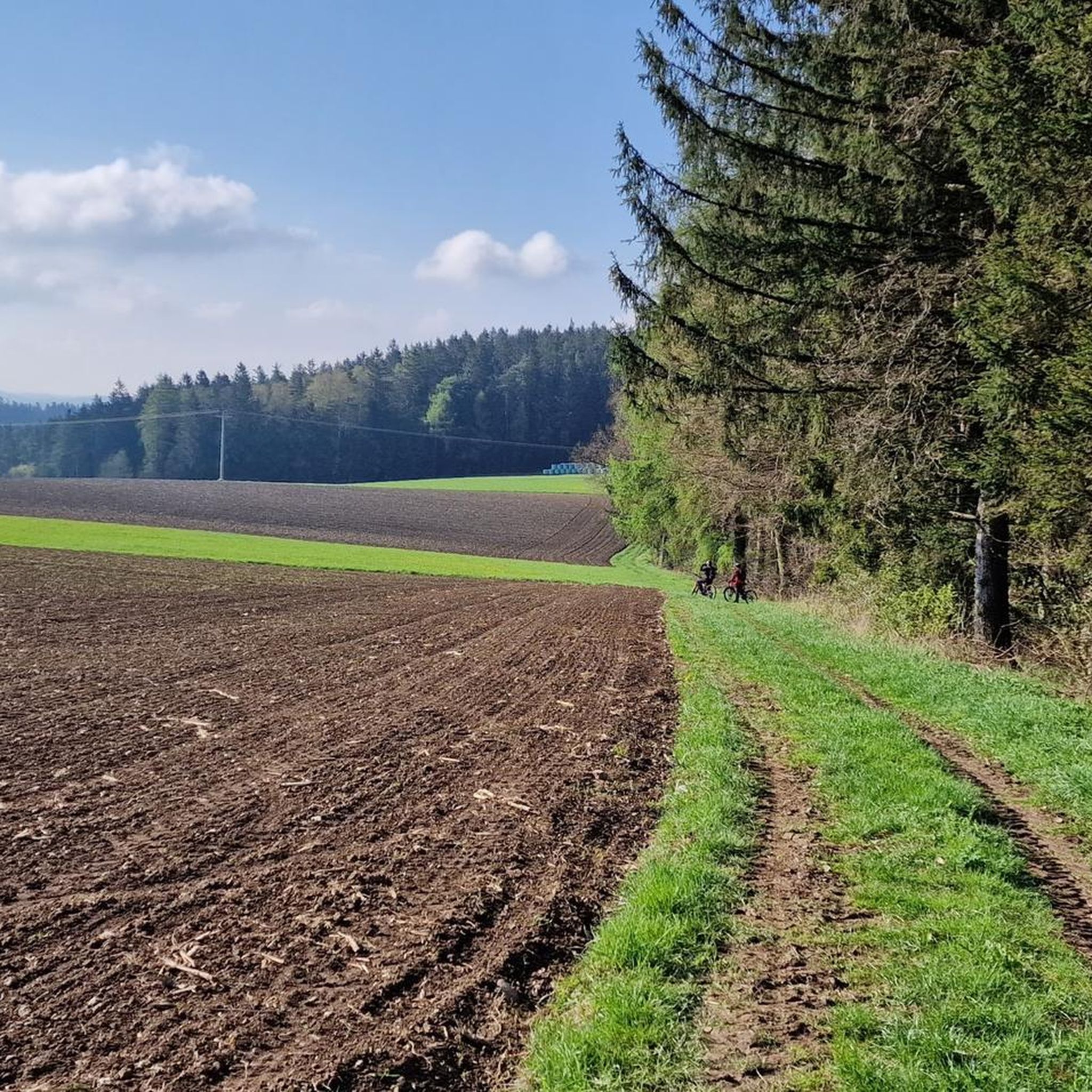
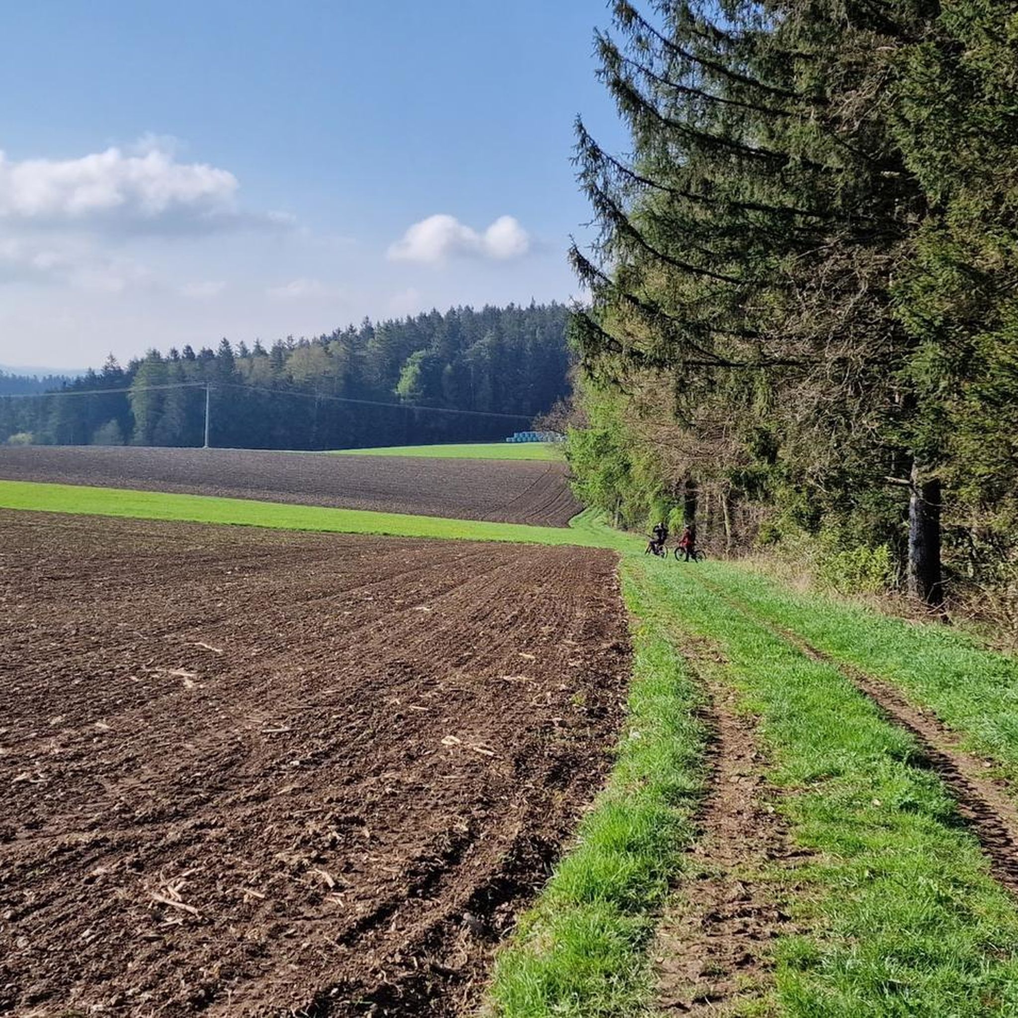

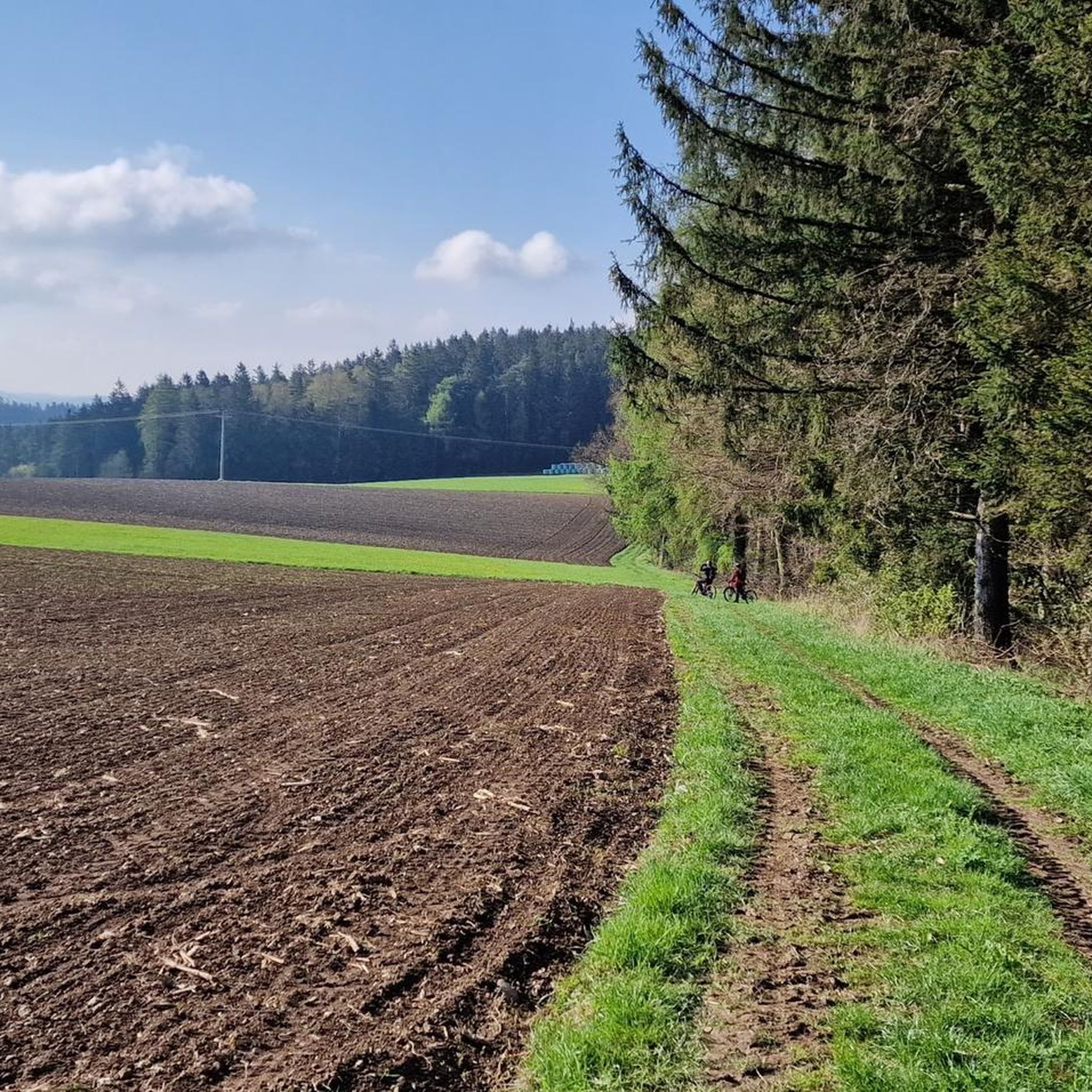
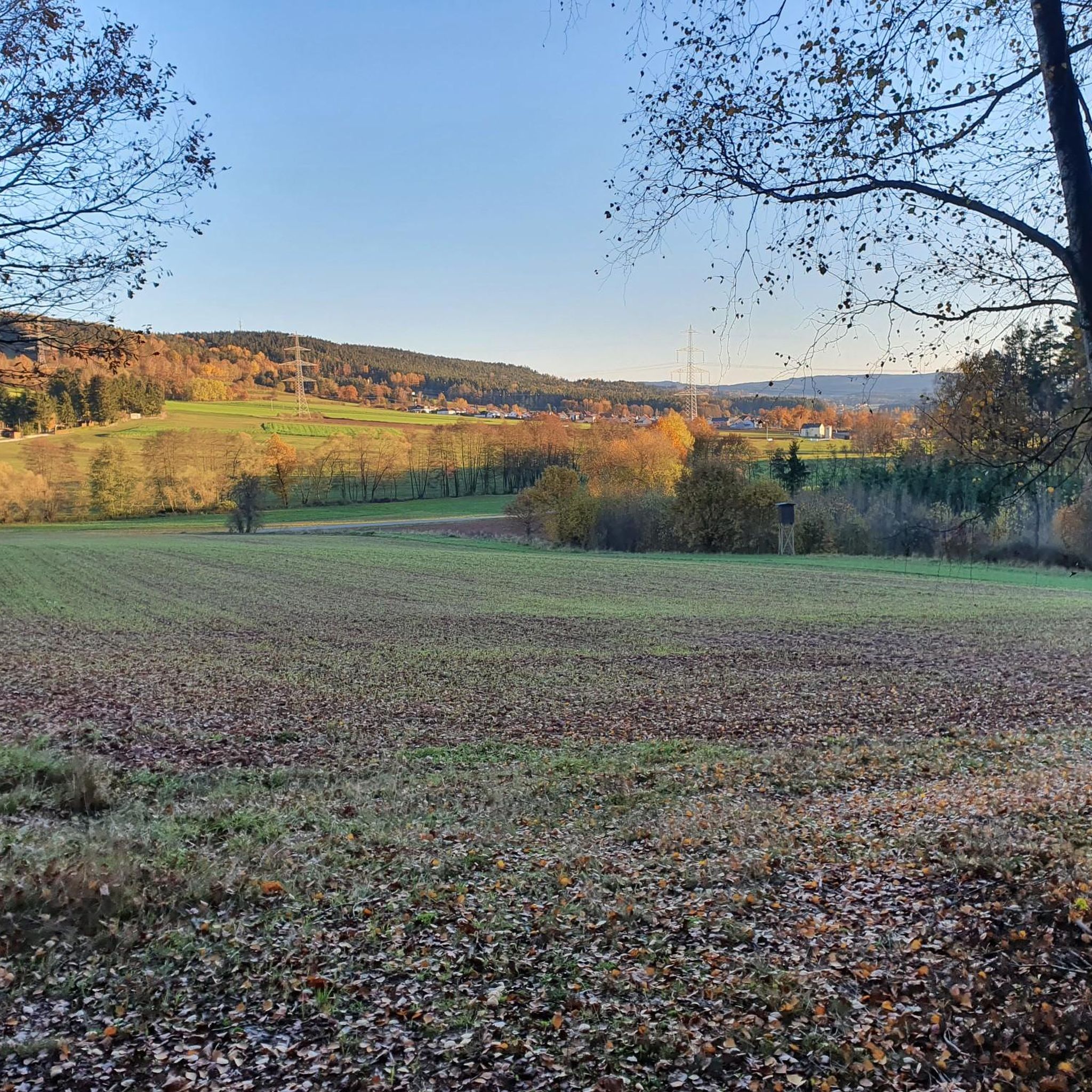
Tips from the Community

Eighteen months have passed, but there's no sign of the summit area being cleaned up. Anyone wanting to visit the summit cross must first work their way through scattered branches. At least the OWV has temporarily rebuilt the stone pyramid.
1
0
The harvester has already done a great job around the summit cross in 2023. Even the pine tree to which the cross is attached was sawn off above the cross.
1
0
you can only shake your head. The entire summit area fell victim to the harvester. There is now a complete clear-cut there. Even the stone pyramid was massively damaged (see photos for comparison)
1
0
can now also be approached from the east side. A sign indicating the distance points to the summit cross.
1
0

Nice detour around the Feistelberg
2
0
one of the higher elevations on the Feistelberg. The location is called Bauernholzberg on the map. Difficult to find, climb up from trail #4 and quite overgrown. A super summit cross with a former grave cross adorn the highest point. Thanks at this point to the OWV Wernberg for choosing the place and attaching the cross.
1
0
Several challenging approaches from all directions to the wind turbines..
4
0
one of several elevations on the Feistelberg is the Eichelschlag (571m). Next to the summit cross is an elaborately built stone pyramid.
1
0
Frequently Asked Questions
Which mountain peaks around Bechtsrieth offer the best views?
For expansive views, consider the Feistelberg Summit Cross, which provides a magnificent panorama above the village. The Schwarzholz – Highest Point of Wernberg-Köblitz (612 m) also offers views in various directions. Additionally, the Dreifaltigkeitsberg (Trinity Mountain) to the east of Bechtsrieth, rising to 631 meters, provides broad vistas over the municipal area and the scenic Waldnaab Valley.
Are there any historically significant or religious sites among the mountain peaks?
Yes, the Pilgrimage Church of the Visitation of Mary (Mariä Heimsuchung), Fahrenberg is a prominent religious building and historical site. Located on the 801-meter-high Fahrenberg, it has been a pilgrimage destination for over 800 years. The Dreifaltigkeitsberg also features a chapel of the same name on its summit.
What kind of hiking trails can I find near the mountain peaks around Bechtsrieth?
The region offers a variety of hiking opportunities. You can find several routes, including easy and moderate options, such as the 'Forest Chapel Heilige Staude – Bee-eater Picnic Shelter loop' or the 'View of Muglhof and Trebsau loop'. For more details and routes, visit the Hiking around Bechtsrieth guide.
Are there family-friendly mountain peaks or activities suitable for children?
The Pilgrimage Church of the Visitation of Mary (Mariä Heimsuchung), Fahrenberg is categorized as family-friendly. Its location on the Fahrenberg offers local cuisine nearby, making it a good stop for families. The general forested landscape of the Northern Upper Palatinate Forest also provides gentle trails suitable for family outings.
What are some unique natural features or monuments to look out for?
Beyond the panoramic views, you can find unique features like the Feistelberg Summit Cross, which is attached to a tree in a small wooded area. The Schwarzholz – Highest Point of Wernberg-Köblitz (612 m) also features a distinctive summit cross. On the Eichelschlag Summit (571 m), you'll discover an elaborately built stone pyramid next to the summit cross.
What do visitors enjoy most about the mountain peaks in this region?
Visitors frequently appreciate the expansive views offered from various summits, such as the Feistelberg Summit Cross. The presence of summit crosses and unique natural monuments like the stone pyramid on Eichelschlag Summit are also highlighted. The opportunity to combine hiking with local cuisine, particularly near the Pilgrimage Church of the Visitation of Mary (Mariä Heimsuchung), Fahrenberg, is also a popular aspect.
Are there opportunities for cycling near the mountain peaks?
Yes, the area around Bechtsrieth offers various cycling routes. You can explore options like the 'Naab Cycle Path – Allee Cycle Path loop' or the 'Old Town Hall, Weiden – Upper Gate, Old Town of Weiden loop'. For a comprehensive list of routes, check out the Cycling around Bechtsrieth guide.
What is the elevation of the mountain peaks around Bechtsrieth?
The municipality of Bechtsrieth itself is at 452 meters above sea level. Notable peaks include the Dreifaltigkeitsberg at 631 meters, the Fahrenberg at 801 meters, and the Schwarzholz – Highest Point of Wernberg-Köblitz at 612 meters.
Can I find any hidden gems or less-known summits in the area?
While not widely publicized, the Luheberg North Summit (559 m) is a less-frequented summit located on the north side of the Feistelberg. It offers a quiet forest experience, though it lacks a summit cross or sign at its highest point.
What are the main characteristics of the landscape around Bechtsrieth's mountain peaks?
The landscape is primarily characterized by the forested terrain of the Northern Upper Palatinate Forest. While not featuring dramatic, towering peaks, the region offers a mix of elevated ridges, dense woodlands, and scenic floodplains, particularly around the Waldnaab Valley. These features provide a tranquil setting for outdoor activities.
Are there any long-distance hiking trails that pass through the area?
Yes, the Dreifaltigkeitsberg, a significant natural landmark near Bechtsrieth, is traversed by two major long-distance hiking trails: the 176 km-long Burgenweg and the extensive 660 km-long Goldsteig. These trails offer opportunities for extended hikes through the region.
Most popular routes around Bechtsrieth
Most popular attractions around Bechtsrieth

Get inspired with the komoot mobile app


Explore more
See even more amazing summits around Bechtsrieth with these guides:
