The 5 Most Amazing Peaks around Pottiga
Mountain peaks around Pottiga offer a landscape with notable elevated areas and viewpoints. The region provides access to a network of hiking trails, making it a destination for nature enthusiasts. These locations are valued for their scenic vistas and diverse hiking experiences. The area features a mix of natural elevations and man-made structures that enhance the views.
Best mountain peaks around Pottiga
- The most popular mountain peaks is Frankenwarte Observation Tower, a man_made_monument that stands atop the 679-meter-high Hirschhügel.…
Last updated: September 30, 2026
Frankenwarte Observation Tower
Highlight • Monument
Translated by Google •
Tip by

Starting Stone Rennsteig
Highlight • Monument
Translated by Google •
Tip by

Sign up now to discover places like this
Get recommendations on the best single tracks, peaks, & plenty of other exciting outdoor places.
Schwedenwacht
Highlight • Viewpoint
and with a nice view up …
Translated by Google •
Tip by

Elevation point 550 m Thuringia – Seeblick Trail
Highlight (Segment) • Summit
Translated by Google •
Tip by

Auf dem Häslich
Highlight • Summit
Translated by Google •
Tip by

Start today with a free account
Your next adventure awaits.
Tips from the Community

Unfortunately, it is currently waterlogged, so you can't get quite close to it.
0
0

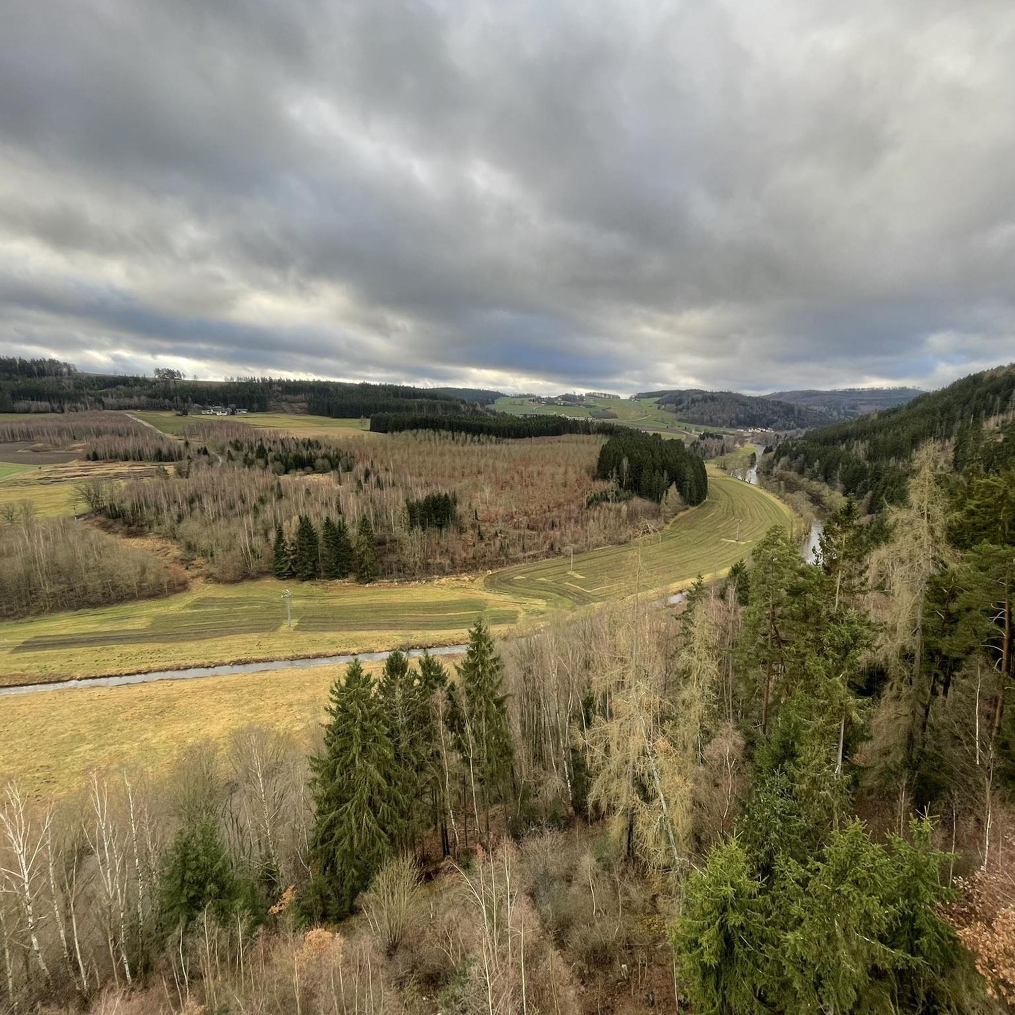
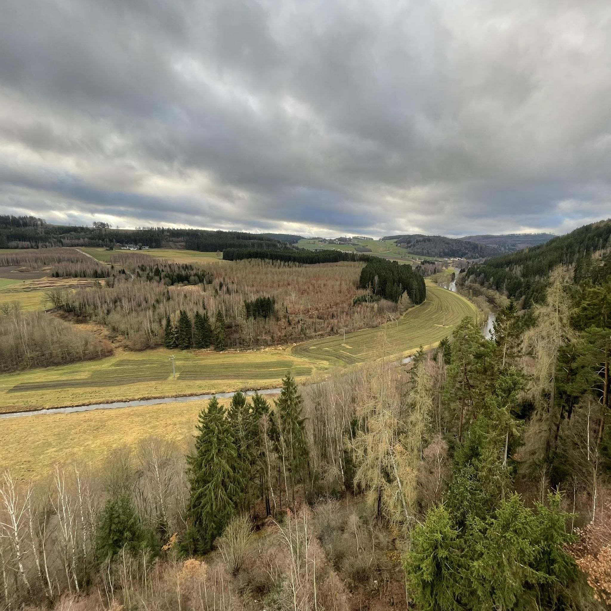
The Frankenwarte (Frankenwarte) stands atop the 679-meter-high Hirschhügel (Hirschhügel). The eight-and-a-half-meter-high, round stone tower offers a panoramic view to the northeast, to the edge of the Höllental valley, to Lichtenberg and Bad Steben, and to the west to the hills near Nordhalben. To the south, Geroldsgrün, the 729-meter-high Spitzberg, and the 758-meter-high Schneidberg can be seen, and hidden behind them, the highest peak in the Franconian Forest, the 794-meter-high Döbraberg. To the southeast, the view extends to the Fichtel Mountains. The Frankenwarte was built and is maintained by the Franconian Forest Association. Plans to build an observation tower on the hill existed as early as 1930. However, the Frankenwarte was not inaugurated until August 12, 1951. In 2020, panoramic panels were installed on the parapet of the viewing platform, illustrating the towns and landscape features visible from here.
13
0

With a little effort we climbed the view 👍🏻
1
0

Numerous hiking trails in the region lead past here. The Franconian Forest Association provides information in the entrance area about the special features of the tower and the region. There are plaques at the top to help you find your way around.
5
1

A 692 meter high elevation between Helmsgrün, Wurzbach and Neundorf - the area is currently fenced off to care for young growth.
0
0

The Frankenwarte is an observation tower of the Frankenwaldverein. It is located on the Hirschhügel hill near Hirschberglein, a district of Geroldsgrün in the Franconian Forest. Planning for the construction of the observation tower began in 1930 and was discontinued due to the war. The Franconian Forest Association acquired the site, the 8.5 m high tower was completed and inaugurated in 1951 as the Frankenwarte. Renovations were carried out in the 1980s. The hill is also of natural historical importance with its nutrient-poor grassland. Source: Wikipedia
5
1

The observation tower "Frankenwarte" rises on the almost 680 meter high deer hill. The round stone tower is more than eight meters high, from several viewing hatches you have a wonderful view of the entire area. With good visibility you can see as far as the Fichtelgebirge.
4
0
The whole Rennsteig fun begins or ends here 👌🏻 https://www.komoot.de/collection/570/mtb-ablebnis-mitten-in-deutschland-3-tage-ueber-den-rennsteig
3
0
Frequently Asked Questions
What are some notable elevated areas and viewpoints around Pottiga?
Pottiga offers several elevated areas and viewpoints for nature enthusiasts. The Frankenwarte Observation Tower, standing atop the 679-meter-high Hirschhügel, provides panoramic views extending to the Höllental valley and the Fichtel Mountains. Another significant spot is the Schwedenwacht, an unwooded hill offering wide views of the Fichtelgebirge and even the Veste Coburg on clear days. The Skywalk at Wachhügel in Pottiga is also known for its accessible paths and scenic vistas.
Are there easy mountain hikes or accessible viewpoints for all skill levels near Pottiga?
Yes, for those seeking less strenuous options, the Skywalk at Wachhügel in Pottiga is highlighted as an easy hike suitable for all skill levels, offering accessible paths and scenic views without a demanding climb. The Rennsteig Trailhead (Hörschel) in Blankenstein also offers facilities and serves as a starting point for various trails, some of which are family-friendly.
What kind of hiking trails can I find near Pottiga's elevated areas?
The region around Pottiga provides a diverse network of hiking trails. You can find moderate routes like those around Totenfels near Harra, which require some sure-footedness but are generally accessible and can be completed within a few hours. For more challenging experiences, the Elevation point 550 m Thuringia – Seeblick Trail offers a long, narrow, and sometimes steep single trail with switchbacks. The area is also a hub for renowned long-distance trails such as the Rennsteig, Kammweg, Frankenweg, and Franconian Mountain Trail, accessible from Selbitzplatz in Blankenstein.
Are there any challenging mountain climbs or trails for experienced hikers?
Yes, for experienced hikers looking for a challenge, the Elevation point 550 m Thuringia – Seeblick Trail is a notable option. This single trail features switchbacks and is described as challenging, leading down to a boat company landing stage. It's not recommended for beginners due to its steep sections and potential for being overgrown in summer.
What outdoor activities, besides hiking, can I do near Pottiga's mountain peaks?
Beyond hiking, the area around Pottiga is excellent for various cycling activities. You can explore MTB Trails around Pottiga, with routes like the 'Harra Saale Bridge – Bridge of Peace loop'. There are also options for Cycling around Pottiga, including the 'Höllental along the Selbitz – Lichtenberg Castle Ruins loop'. For those who enjoy gravel riding, check out the Gravel biking around Pottiga guide, which features routes like the 'Bleiloch Dam – Bleiloch Reservoir loop'.
Where can I find a central hiking hub or starting point for long-distance trails?
Selbitzplatz in Blankenstein serves as a crucial hiking base and is often referred to as the 'hub of hiking'. It's where several renowned long-distance trails converge, including the Rennsteig, the Kammweg, the Frankenweg, and the Franconian Mountain Trail. The Rennsteig Trailhead (Hörschel), also in Blankenstein, offers an info point and facilities, making it an ideal starting point.
Are there any unique natural or geological features to explore?
Yes, the region offers interesting natural and geological features. The Totenfels near Harra is part of a moderate hiking route and is a notable geological feature. From Selbitzplatz, visitors can also easily reach the Rosskopf Geotrail, suggesting further opportunities for exploring the area's geological interests. Additionally, the Auf dem Häslich is a 692-meter-high elevation that is a natural monument.
What do visitors enjoy most about the mountain peaks and elevated areas around Pottiga?
Visitors particularly appreciate the diverse opportunities for exploration and the scenic views offered by the elevated points. The Frankenwarte Observation Tower is highly rated for its panoramic vistas. The community has shared over 400 photos and given more than 400 upvotes to the mountain peaks around Pottiga, highlighting their appeal for photography and enjoying nature.
Is there anything playful or family-friendly for younger hikers?
Yes, at Selbitzplatz in Blankenstein, which is a major hiking hub, you'll find the 'Rennsteigschuh'. This is an oversized hiking boot sculpture with an integrated slide, offering a playful element that younger hikers are sure to enjoy.
What kind of views can I expect from the observation towers and viewpoints?
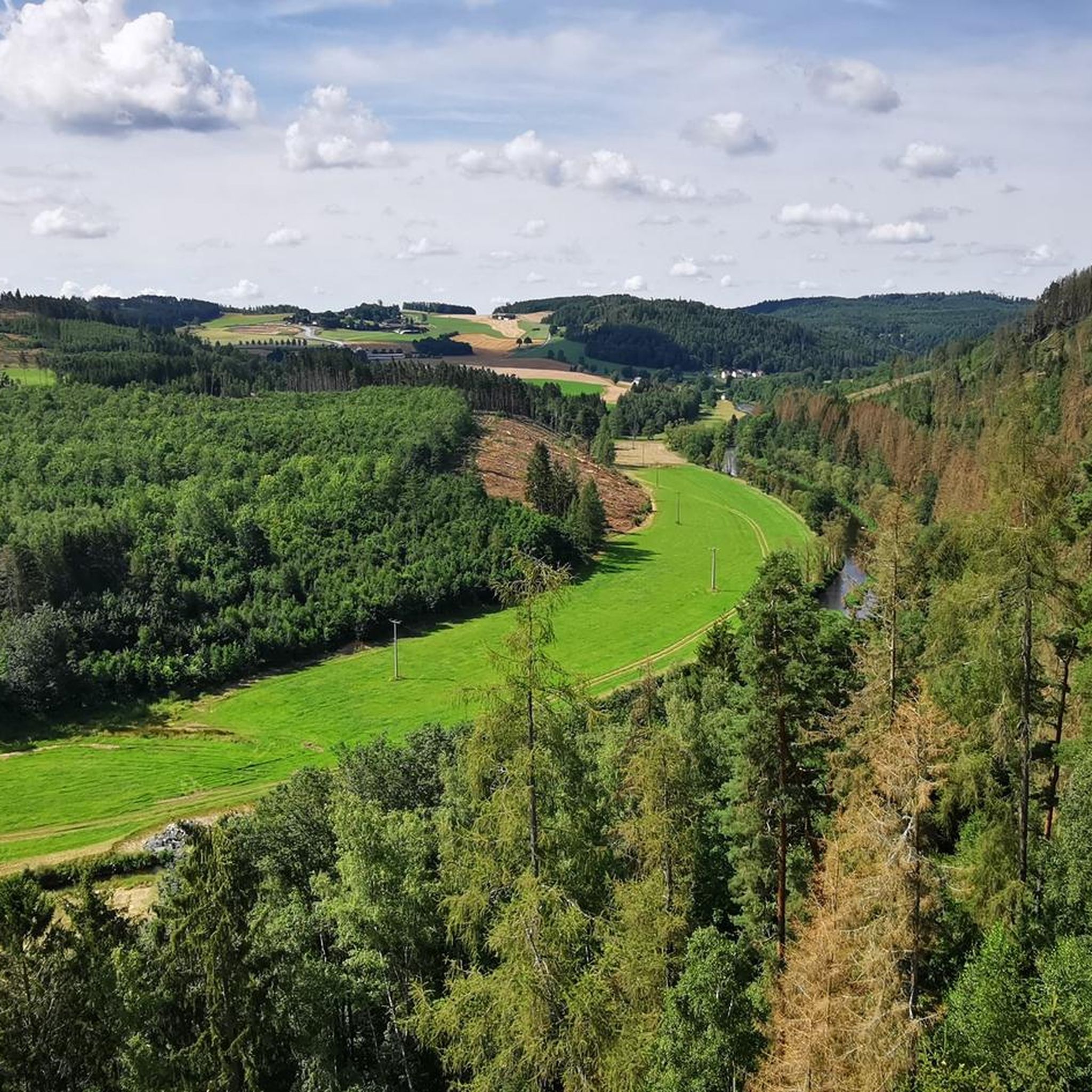
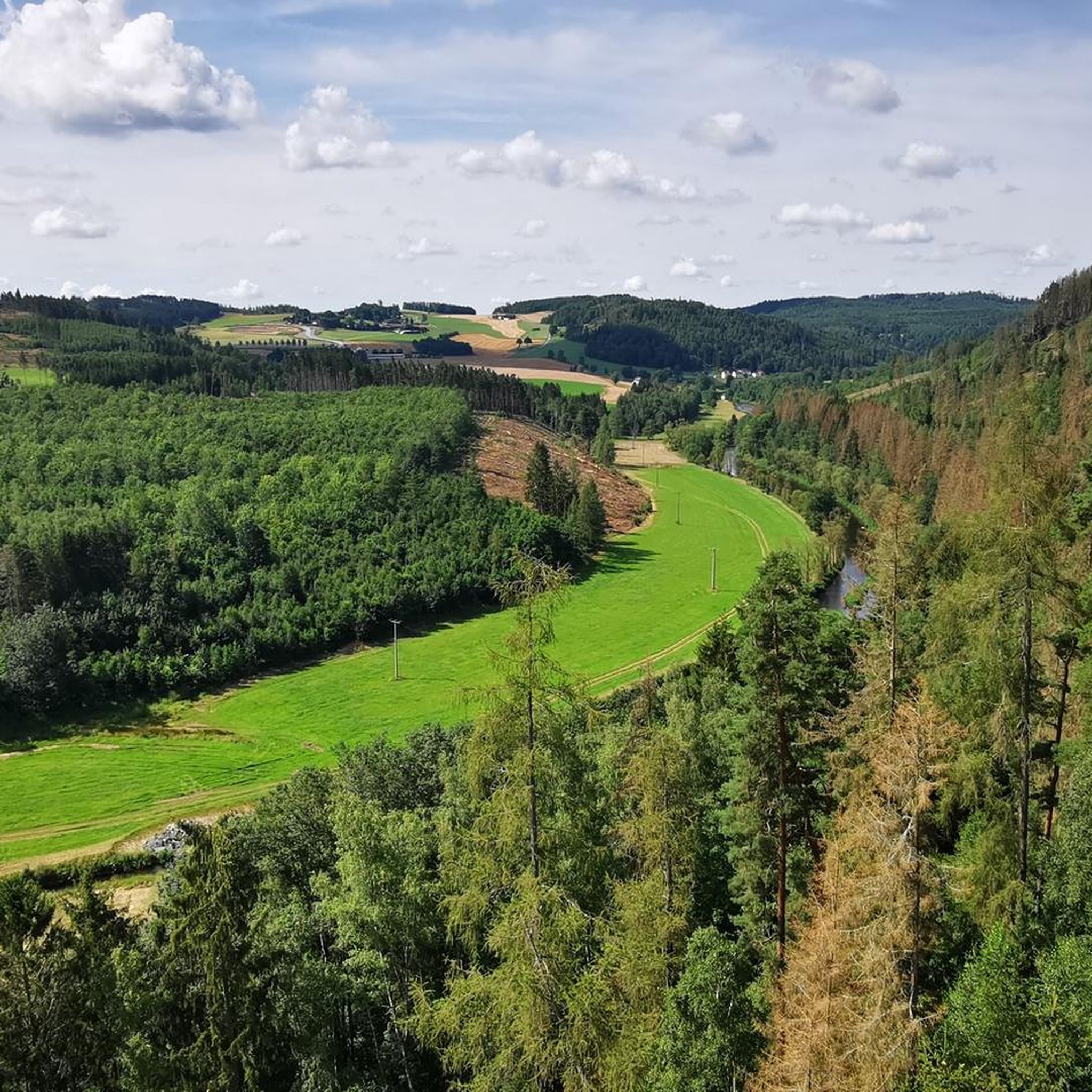
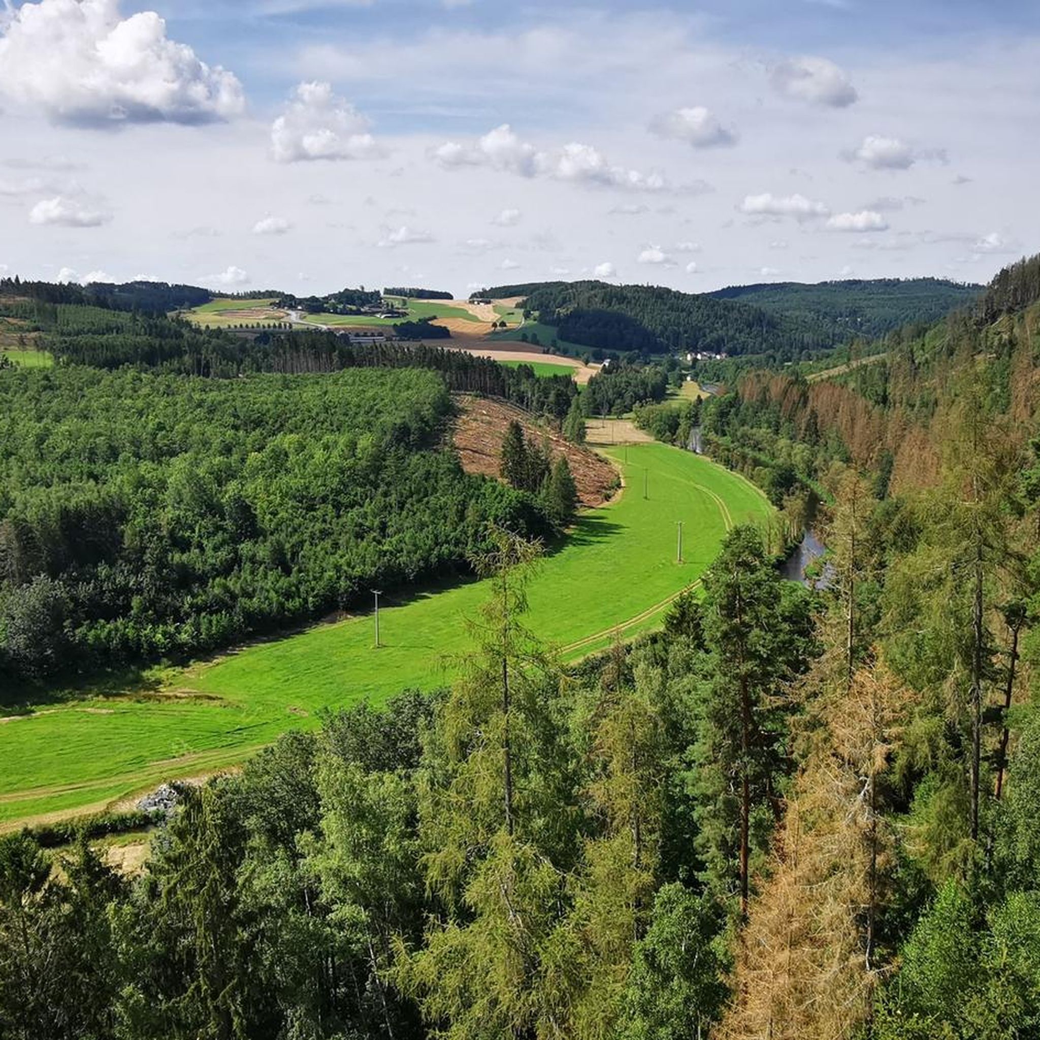
From the Frankenwarte Observation Tower, you can expect panoramic views to the northeast, encompassing the edge of the Höllental valley, Lichtenberg, and Bad Steben. To the west, you'll see the hills near Nordhalben, and to the south, Geroldsgrün, Spitzberg, and Schneidberg, with the Fichtel Mountains visible to the southeast. The Schwedenwacht also offers wide views of the Fichtelgebirge and, on clear days, even the Veste Coburg.
Are there any specific tips for visiting the Frankenwarte Observation Tower?
The Frankenwarte Observation Tower is an 8.5-meter-high stone tower located on the 679-meter-high Hirschhügel. It was inaugurated in 1951 and features panoramic panels installed in 2020 on the viewing platform, which illustrate the towns and landscape features visible from the tower. It's a great spot for extensive views of the Franconian Forest and beyond.
Most popular routes around Pottiga
Most popular attractions around Pottiga

Get inspired with the komoot mobile app


Explore more
See even more amazing summits around Pottiga with these guides:
