Top 5 Gorges around Kottmar
Best canyons around Kottmar are characterized by deeply incised river valleys and geological formations rather than traditional canyons. Kottmar itself is an extinct volcano, 583 meters above sea level, known for its rolling hills, meadows, and forests. It is significant as one of the three sources of the Spree River. The region offers diverse hiking opportunities and panoramic views from its summit.
Best canyons around Kottmar
- The most popular canyons is Georgewitz Gorge, a gorge that was created by…
Last updated: August 21, 2026
Georgewitz Gorge
Highlight (Segment) • Gorge
Translated by Google •
Tip by

Roschertal Gorge
Highlight • Gorge
Translated by Google •
Tip by

Sign up now to discover places like this
Get recommendations on the best single tracks, peaks, & plenty of other exciting outdoor places.
Sign up for free
Georgewitzer Skala Nature Reserve (Löbauer Wasser Gorge)
Highlight • Gorge
Translated by Google •
Tip by

Kemnitzbach Valley
Highlight (Segment) • Gorge
Translated by Google •
Tip by

Start today with a free account
Your next adventure awaits.
Login or Signup
Popular around Kottmar
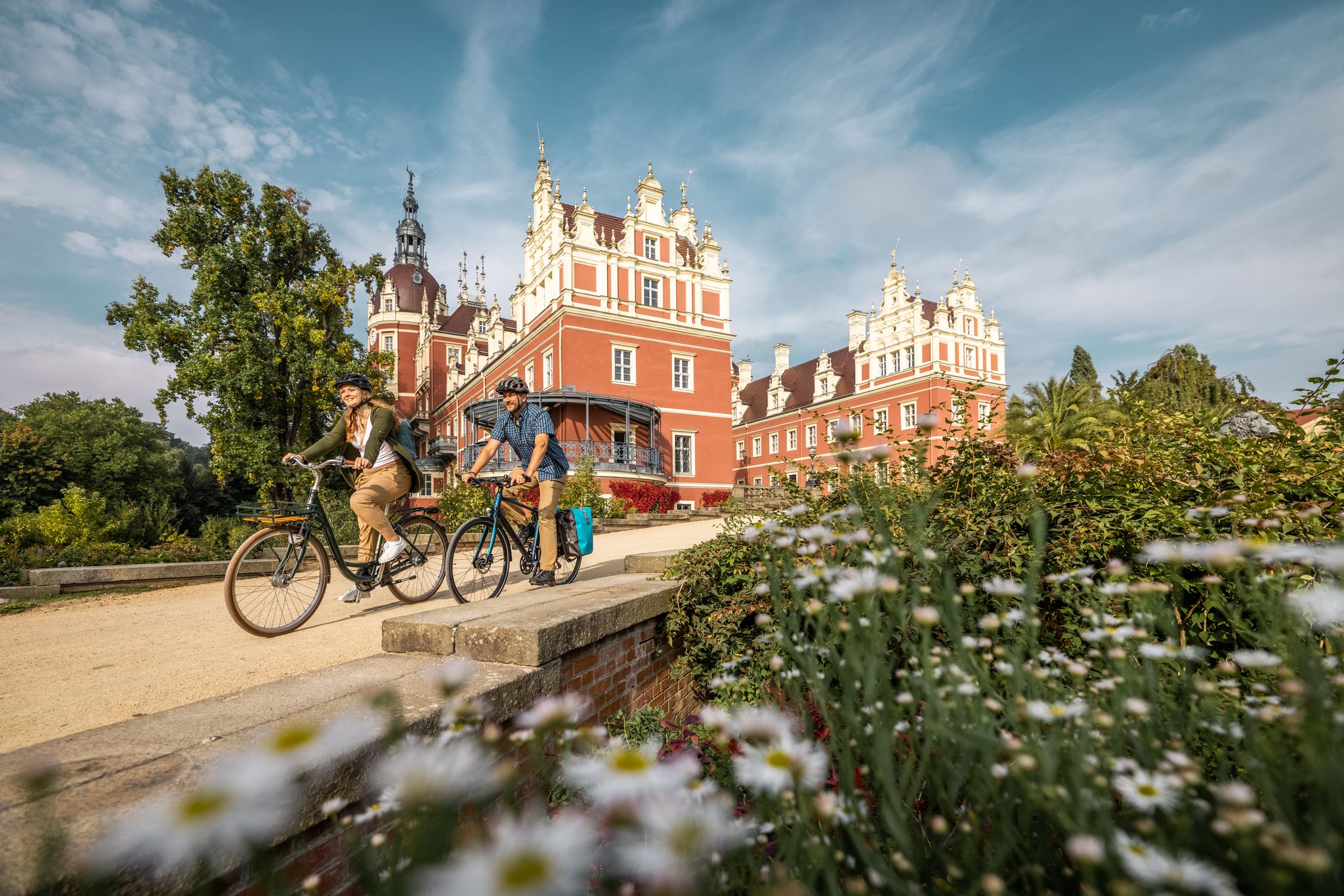
Oberlausitz Cycling Region – 18 superb routes in Upper Lusatia
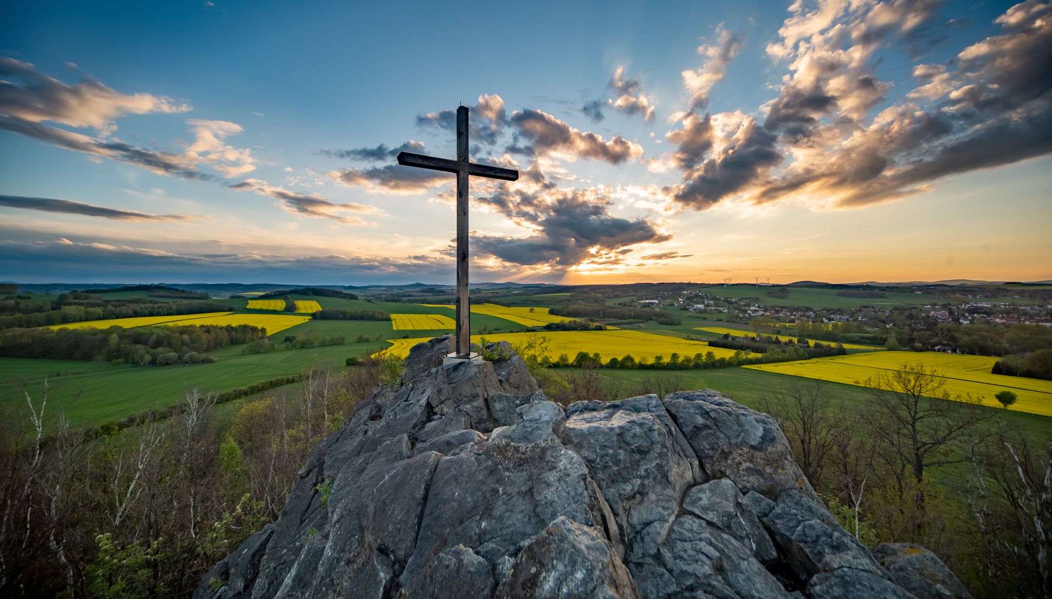
Legendary views on the Upper Lusatia Mountain Trail
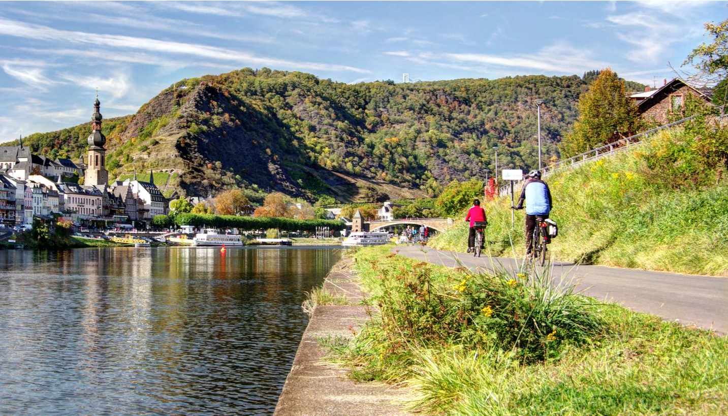
Mehrtagesradtouren in Deutschland und angrenzenden Ländern
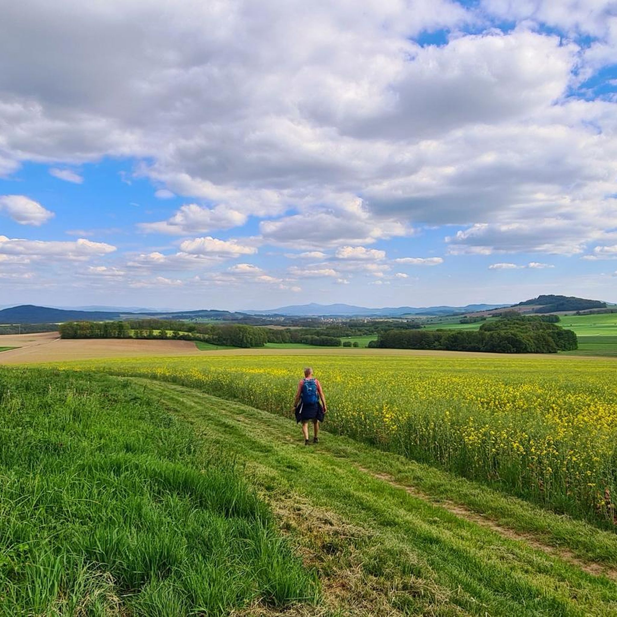
Hiking around Kottmar
Cycling around Kottmar
Road Cycling Routes around Kottmar
Running Trails around Kottmar
MTB Trails around Kottmar

Gravel biking around Kottmar
Other adventures around Kottmar


Tips from the Community

The Roschertal owes its existence to a geological peculiarity. It is a breakthrough valley of the Mandau, which has cut through a basalt layer and underlying tertiary tuff layers. Such valleys are formed when a river erodes rock over long periods of time, while the surrounding area may rise or the water cuts deeper. Geological development: 1. Tertiary deposits: In the Tertiary period (around 65 to 2.6 million years ago) the area was characterized by volcanic activity. Tuff - a rock made of volcanic ash - was deposited. Later, basalt flows poured over it and formed a resistant covering layer. 2. Cutting of the Mandau: The Mandau, a tributary of the Neisse, began to work its way through the harder basalt layer over time. Since basalt is much more resistant than the tuff underneath, the erosion process was uneven. The softer rock layers were eroded more quickly, so that the valley gradually deepened. 3. Formation of the breakthrough valley: As the rock was further eroded, the steep, wooded slopes of the Roschertal that are visible today were created. These reach heights of around 50 to 60 meters above the valley floor. 4. Late Pleistocene influence: During the ice ages, the landscape was further shaped when frost weathering and landslides affected the valley flanks. During this time, the Mandau transported more meltwater and debris, which caused the river to dig in further. Special features today: The Roschertal is not only a geologically interesting area, but also an example of the natural development of Upper Lusatia. The interplay of basalt and tuff layers gives the landscape a varied morphology. Erosion has created some bizarre rock formations, and the forest that has developed in the valley protects the loose rock layers from further erosion. The fact that the Mandau has formed a breakthrough valley here also influences the water dynamics. The flow can vary greatly depending on the water level, which is noticeable in small cascades and whirlpools. In summary, the Roschertal is a product of the volcanic past, fluvial erosion and ice age processes - an exciting geological formation that also offers an attractive landscape for hikers and nature lovers.
1
0

A real insider tip for a nice hike without many people.
0
0
A beautiful untouched piece of earth🥰
2
0

The Georgewitzer Skala, a small rocky valley in the foothills of the Lusatian mountains (north of the Löbauer mountain), has been on our list of things to visit for a long time. The Löbau water, which once made its way through the rocks there, still ripples happily to this day. A hiking trail leads through the valley, which is worth seeing and is up to 35 m deep in places - on one side and back again on the other.
2
0

The Georgewitzer Skala was created over a length of approx. 1.3 km by the erosive action of the Löbau water as a deeply incised, south-north oriented, canyon-like rocky valley (skala = Slavic term for rock). This form of a breakthrough valley is more common in Upper Lusatia, especially in the Upper Lusatia region (cf. Gröditzer scale, Lausk scale). The geological source rock, the West Lusatian granodiorite or the Zweiglimmergranodiorite, was removed by the erosion process over thousands of years. The geological subsoil is mainly covered by nutrient-rich loess loam and river gravel from the Vistula ice age. The valley has steep slopes, rock faces and crevices, the Löbau water has a near-natural stream bed with many blocks. The wooded rocky slopes on both sides of the stream rise from 210 m above sea level. NN in the valley floor up to a height of 240 m above sea level. NN and go with a moderate incline into a plateau. A large number of very different near-natural forest communities, such as pedunculate oak-hornbeam forest rich in linden trees, sessile oak-beech forest rich in hornbeam and hornwort-black alder shoreline characterize the scale. As special features of the avifauna, kingfishers, lesser woodpeckers and gray wagtails can be mentioned. Hollow Corydalis, Black Lungwort, Lily of the Valley and Greater Chickweed occur as protected plant species due to the weakly alkaline-influenced granodiorite weathering soil of the basalt mountains. Source: Wikipedia
2
0

Great gorge in a small space.
2
0

This path does not lead directly along the Kemnitzbach, but is particularly beautiful in my view due to its location on the edge of the forest. There are also a number of benches for a rest.
0
0

The breakthrough valley washed out by the slowly flowing Löbauer water is a protected area. You walk through a unique area with beautiful beech, linden and oak forests, in which plants and animals worth protecting, such as the kingfisher and swallowtail, are to be found.
5
0
Frequently Asked Questions
What are the most notable gorges and valleys around Kottmar?
The region around Kottmar features several deeply incised river valleys and geological formations. Among the most popular are Georgewitz Gorge, known for its canyon-like rocky valley and unique forests, Kemnitzbach Valley, appreciated for its forest-edge location and resting spots, and Roschertal Gorge, a breakthrough valley of the Mandau river with significant geological features.
What kind of natural features can I expect to see in the gorges around Kottmar?
You can expect to see deeply incised river valleys, steep wooded slopes, and varied geological formations resulting from river erosion through basalt and tuff layers. For instance, Georgewitz Gorge is a protected area with unique beech, linden, and oak forests, while Roschertal Gorge showcases the geological interplay of basalt and tuff layers, creating interesting rock formations.
Are there family-friendly trails in the valleys and gorges near Kottmar?
Yes, the Kemnitzbach Valley is noted as family-friendly, offering a pleasant path along the edge of the forest with benches for resting. Additionally, the broader Kottmar area features an "Adventure Trail on the Kottmar" which is particularly suitable for families, with educational stations and a barefoot path.
What is the geological significance of the Kottmar region and its gorges?
Kottmar itself is an extinct volcano, composed of phonolite rock. The gorges and valleys in the area, such as Roschertal Gorge, are significant as breakthrough valleys where rivers like the Mandau have cut through basalt and underlying tuff layers. This geological history creates varied morphology and interesting rock formations, showcasing the region's volcanic past and fluvial erosion processes.
What outdoor activities can I do near these gorges and valleys?
The Kottmar region is excellent for hiking and mountain biking. You can find numerous well-marked trails. For hiking, consider routes like the "Spree Source at Kottmar – Wolfsgrube on the Sagenpfad loop" or the "Kottmar – Spree Source at Kottmar loop." For more options, explore the Hiking around Kottmar guide. Mountain biking enthusiasts can find trails such as the "Kottmarsdorfer Post Mill – Kottmar Ski Jump loop" or the "Himmelsbrücke – Upper source of the River Spree loop" in the MTB Trails around Kottmar guide.
What is the best time to visit the Kottmar region for exploring its natural features?
The Kottmar region is generally pleasant for outdoor activities from spring through autumn. Spring brings blooming flora, while autumn offers vibrant foliage. The hiking trails are accessible during these seasons, allowing for comfortable exploration of the gorges and panoramic views. Winter can also be beautiful, but some trails might be challenging due to snow or ice.
Are there any viewpoints to appreciate the gorges and the surrounding landscape?
Yes, there are viewpoints. For example, the View of Georgewitzer Skala offers a perspective of the Georgewitz Gorge from Kleinradmeritz. Additionally, Kottmar's summit provides extensive panoramic views of the Bohemian Central Mountains, Jizera Mountains, Giant Mountains, and Zittau Mountains on clear days.
What makes the Kottmar region unique besides its gorges?
Kottmar is unique as one of the three sources of the Spree River, with the Eibauer Spreequelle being a notable point of interest. The mountain is also an extinct volcano, offering geological insights. Beyond the gorges, the area is characterized by rolling hills, meadows, dense forests, and a network of hiking trails, including the "Kottmar hiking trail" and the "Sagenpfad (Legend Trail)" which features local legends.
What are the typical trail difficulties for hiking in the gorges around Kottmar?
The trails through the gorges and valleys around Kottmar, such as Georgewitz Gorge and Roschertal Gorge, are generally rated as intermediate difficulty. They involve walking through varied terrain with some steep sections due to the deeply incised nature of the valleys. There are also easier, family-friendly options like parts of the Kemnitzbach Valley.
Where can I find information about the Spree River source on Kottmar?
The Spree River source, specifically the Eibauer Spreequelle, is located on the western slope of Kottmar. A semi-circular phonolite stone wall was built around this source in 1921, making it a significant attraction. You can find more details about its historical and geographical importance, including its connection to the Upper Lusatian watershed, on resources like Wikipedia.
Are there circular hiking routes available around the Kottmar gorges?
Yes, the Kottmar area offers circular hiking routes that allow you to explore the natural features. While specific circular routes directly through every gorge might vary, the broader region has trails like the "Kottmar hiking trail" (approx. 13 km) and the "Sagenpfad (Legend Trail)" (4.5 km circular trail) that encompass the area's natural beauty and points of interest, including views of the gorges.
Most popular routes around Kottmar
Most popular attractions around Kottmar

Get inspired with the komoot mobile app


Explore more
Already discovered everything in this region? See additional gorges around Kottmar for your next adventure:
