Top 6 Lakes in Desfiladero De Los Gaitanes
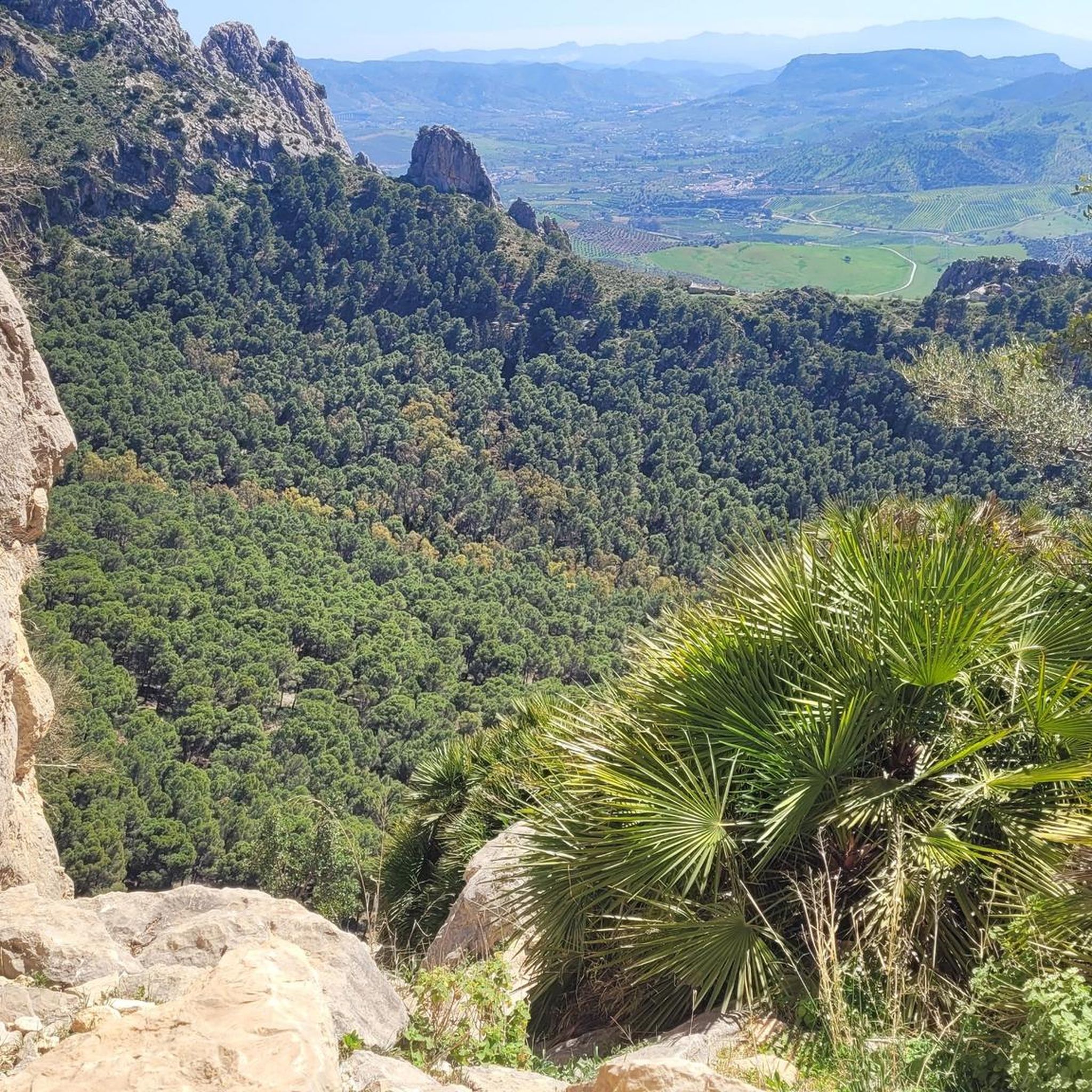
Best lakes in Desfiladero De Los Gaitanes are primarily artificial reservoirs, integral to the region's landscape. This area, renowned for its dramatic gorge carved by the Guadalhorce River, features significant water bodies like the Guadalhorce and Guadalteba dams, and the El Chorro Reservoir. These interconnected reservoirs offer a variety of attractions, from water sports to hiking, and are crucial for the region's water supply. The turquoise waters contrast with surrounding pine forests and rugged limestone mountains, creating a picturesque setting.
Best lakes in Desfiladero De Los Gaitanes
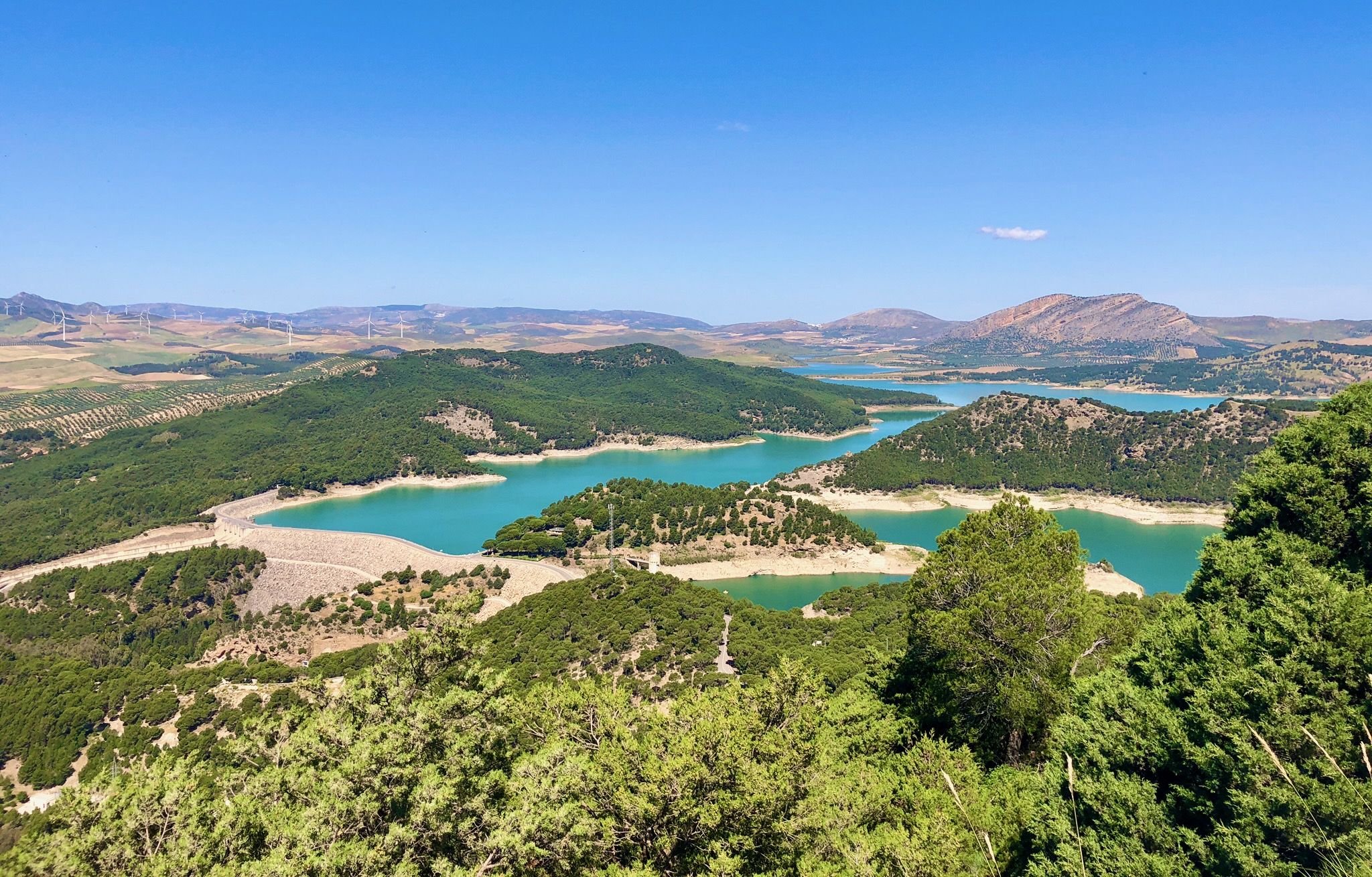
- The most popular lakes is Conde de Guadalhorce Reservoir, a lake that is one of the most famous and picturesque reservoirs in Málaga. It is known for its impressive body of water surrounded by dense pine forests and rocky landscapes.
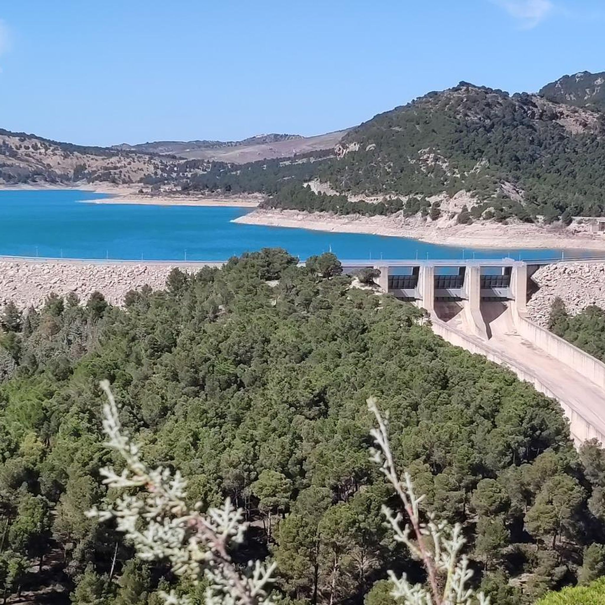
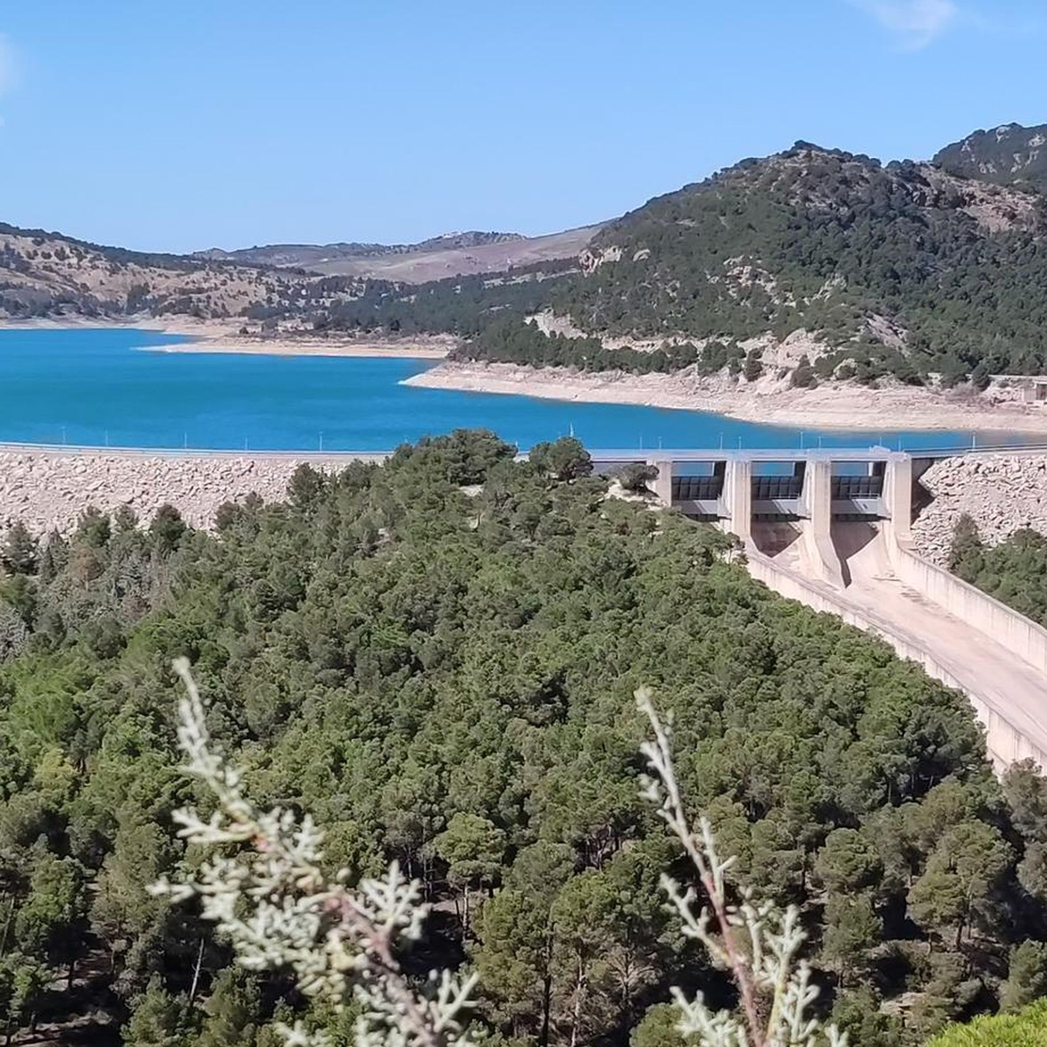
- Another must-see spot is Gaitanejo Reservoir Dam, an other man-made structure. The water accumulates here before it flows through the canyon, and it is one of the first features seen at the beginning of the Caminito del Rey.
- Visitors also love House Overlooking the Reservoir, a viewpoint. This house was built as an administrative building for the hydraulic engineering complex of the reservoir area, offering spectacular views.
- Desfiladero De Los Gaitanes is known for its large artificial reservoirs and interconnected water systems. Visitors can explore various reservoirs, each offering unique views and recreational opportunities.
- The lakes in Desfiladero De Los Gaitanes are appreciated by the komoot community, with 196 upvotes and 96 photos shared across 5 highlights, showcasing their appeal for outdoor activities and scenic beauty.
Last updated: July 26, 2026
Gaitanejo Reservoir Dam
Highlight • Structure
Translated by Google •
Tip by

Conde de Guadalhorce Reservoir
Highlight • Lake
Translated by Google •
Tip by

Sign up now to discover places like this
Get recommendations on the best single tracks, peaks, & plenty of other exciting outdoor places.
Sign up for free
Guadalhorce River
Highlight (Segment) • River
Translated by Google •
Tip by
Picnic Area by the Caminito del Rey
Highlight • Rest Area
Translated by Google •
Tip by

Road Along the Guadalhorce Reservoir
Highlight (Segment) • Trail
Really nice views!
Tip by

Start today with a free account
Your next adventure awaits.
Login or Signup
Popular around Desfiladero De Los Gaitanes

On the road to the sun — bikepacking to southeast Spain

Hike between sea and mountains — Gran Senda de Málaga (GR 249)
Seven days walking along the Gran Senda de Málaga (GR 249)
Hiking in Desfiladero De Los Gaitanes
Cycling in Desfiladero De Los Gaitanes
MTB Trails in Desfiladero De Los Gaitanes
Road Cycling Routes in Desfiladero De Los Gaitanes
Running Trails in Desfiladero De Los Gaitanes

Gravel biking in Desfiladero De Los Gaitanes
Other adventures in Desfiladero De Los Gaitanes


Tips from the Community

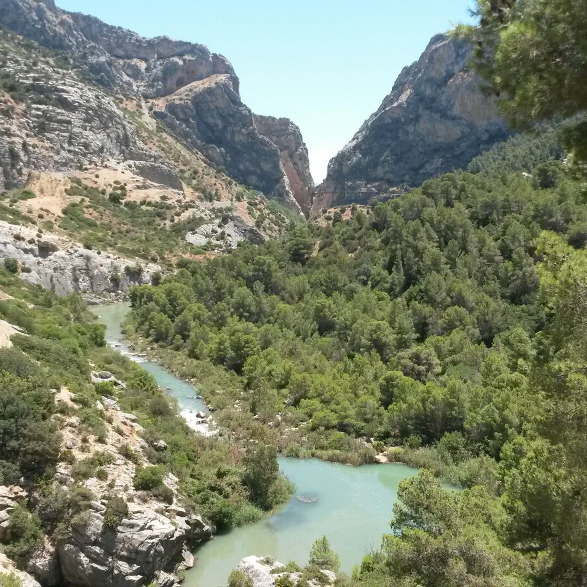
Here the amount of water that should flow through the canyon is regulated. The water is regulated via a funnel-shaped outlet.
2
0

There is a wide selection of restaurants in the area around the El Chorro reservoir.
4
0
The reservoir, located 600 meters from Caminito del Rey, is a tourist attraction.
4
0

How can such a stream form such a gorge! Fascinating!
2
1

A longer stretch of road that offers wonderful views of the beautiful landscape. It is not particularly difficult to ride, just a little effort, but you will be rewarded with a great experience.
2
0
Great photo point! The Embalse del Conde de Guadalhorce is one of the most famous and picturesque reservoirs in the province of Málaga. It is located in the Ardales region and is part of a network of reservoirs that contribute to the water supply and irrigation in the area. Together with the neighboring Guadalteba and Gaitanejo reservoirs, it forms the so-called Pantano del Chorro. The reservoir has an impressive body of water surrounded by dense pine forests and rocky landscapes. It is used for water supply, irrigation and partly for generating electricity. There are hiking and cycling trails around the reservoir that lead through the beautiful nature and pine forests. There are numerous picnic areas.
11
2

The hiking trails around the Embalse del Conde del Guadalhorce reservoir are an ideal day trip destination. The best time is from September to May; in the summer months it is too hot, so the lake is more suitable for swimming. The circular trail leads through a short tunnel to the shore of the reservoir and then along the lake to the dam of the Rio Guadalhorce. This is also where the northern entrance to the Caminito del Rey is located. Source and further information www.wildnis-wandern.de/andalusien-embalse-del-guadalhorce
2
1
Frequently Asked Questions
What kind of lakes are found in Desfiladero De Los Gaitanes?
The lakes in Desfiladero De Los Gaitanes are primarily large, artificial reservoirs, integral to the region's landscape. These interconnected water bodies, such as the Guadalhorce and Guadalteba dams, and the El Chorro Reservoir, are crucial for the region's water supply and offer a variety of attractions.
What are the main reservoirs in the Desfiladero de los Gaitanes area?
The most prominent reservoirs are the Conde de Guadalhorce, Guadalhorce, and Guadalteba dams. These form a picturesque system, often collectively known as the 'Reservoirs of El Chorro,' characterized by their striking turquoise waters.
What natural features can I expect to see around the lakes?
You'll find vibrant turquoise waters contrasting with surrounding pine forests and rugged limestone mountains. The area is part of a protected natural park, boasting rich flora like Aleppo pines and holm oaks, and diverse fauna, including various bird species such as golden eagles and griffon vultures.
Are the lakes in Desfiladero De Los Gaitanes suitable for families?
Yes, many areas around the lakes are very family-friendly. The calm waters are ideal for swimming, kayaking, and pedal boating. Highlights like the Conde de Guadalhorce Reservoir and Guadalhorce River (which also serves as a bathing lake in summer) are noted for being family-friendly, offering picnic areas and boat rentals.
When is the best time to visit the lakes in Desfiladero De Los Gaitanes?
The warmer months are ideal for enjoying water sports like kayaking and swimming. However, the scenic beauty and hiking opportunities around the reservoirs are enjoyable throughout much of the year, with spring and autumn offering pleasant temperatures for outdoor activities.
What activities can I enjoy around the lakes?
Beyond the famous Caminito del Rey, the lakes offer a wide range of activities. You can go swimming, fishing, kayaking, or pedal boating. Numerous trails wind through the pine and eucalyptus forests, perfect for hiking and cycling, providing spectacular panoramic views of the water and landscape.
Are there hiking trails near these lakes?
Yes, there are many hiking trails around the lakes. You can find easy hikes like the 'El Chorro Dam loop from Peñarrubia' or 'Pared del Huma – Arabic Steps loop from El Chorro-Caminito del Rey'. For more options, explore the Easy hikes in Desfiladero De Los Gaitanes guide.
Can I go cycling around the reservoirs?
Absolutely. The area offers various cycling routes, from moderate to difficult, with stunning views of the reservoirs. Routes like the 'View of the Guadalhorce Reservoir – Guadalhorce Reservoir loop from Parking Ardales' are popular. You can find more details in the Cycling in Desfiladero De Los Gaitanes guide.
What is the historical significance of the Conde de Guadalhorce Reservoir?
The Conde de Guadalhorce Reservoir is the oldest of the three main reservoirs, constructed between 1914 and 1921. It holds historical importance as King Alfonso XIII signed its completion documents at a spot known as the 'King's Chair.' The area also features the historic Casa del Ingeniero (Chief Engineer's House).
Where can I find good viewpoints of the lakes?
There are several excellent viewpoints. The Conde de Guadalhorce Reservoir is known for its picturesque pavilion offering great photo opportunities. Other spots like Mirador de Tres Embalses and Mirador Tajo Encantada provide expansive vistas of the entire reservoir system. The House Overlooking the Reservoir also offers spectacular views.
Are there any unique man-made structures related to the lakes?
Yes, the dams themselves are significant engineering feats from the early 20th century. The Gaitanejo Reservoir Dam is one such structure, where water accumulates before flowing through the canyon, and it's one of the first features seen at the beginning of the Caminito del Rey.
What makes the El Chorro Reservoir special?
The El Chorro Reservoir, often associated with the Guadalhorce reservoirs, is a focal point for activities and offers stunning views. It has even been awarded a Blue Flag, signifying it as a high-quality inland beach, making it particularly popular for swimming and water sports.
Most popular routes in Desfiladero De Los Gaitanes
Most popular attractions in Desfiladero De Los Gaitanes

Get inspired with the komoot mobile app


Explore more
Still not found your perfect lake in Desfiladero De Los Gaitanes? Check out the guides of these regions to see even more beautiful places.
