The 7 Most Amazing Peaks in Tamadaba
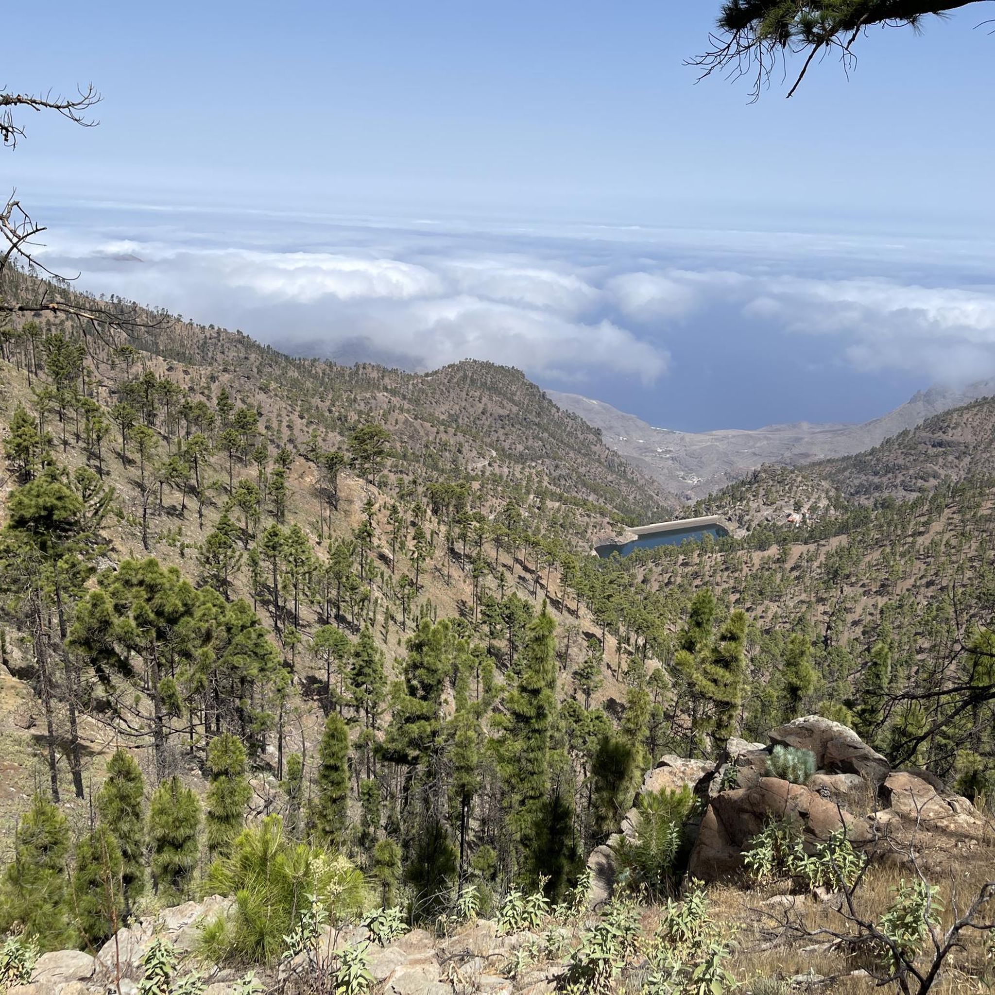
Best mountain peaks in Tamadaba are found within the Tamadaba Natural Park, a UNESCO Biosphere Reserve in Gran Canaria. This park spans 7,500 hectares and features ancient Canarian pine forests, deep ravines, and dramatic coastal cliffs. The area is known for its well-preserved natural state, offering extensive panoramic views and a diverse landscape. It is a Special Bird Protection Area, home to endemic species, and provides an extensive network of trails for various outdoor activities.
Best mountain peaks in Tamadaba
…Last updated: August 23, 2026
Tamadaba Peak
Highlight • Summit
Translated by Google •
Tip by

Serpentine Trail to Altavista
Highlight (Segment) • Trail
Translated by Google •
Tip by

Sign up now to discover places like this
Get recommendations on the best single tracks, peaks, & plenty of other exciting outdoor places.
Sign up for free
Risco Faneque Summit
Highlight • Summit
Source: odyssea.eu/data/?markerID=20376
Translated by Google •
Tip by

Morro de las Lechugas
Highlight • Viewpoint
Translated by Google •
Tip by
Pico de la Casa (1308 m)
Highlight • Summit
Translated by Google •
Tip by

Sign up for free to discover even more peaks in Tamadaba.
Sign up for free
Already have an account?
Start today with a free account
Your next adventure awaits.
Login or Signup
Popular around Tamadaba




Tips from the Community

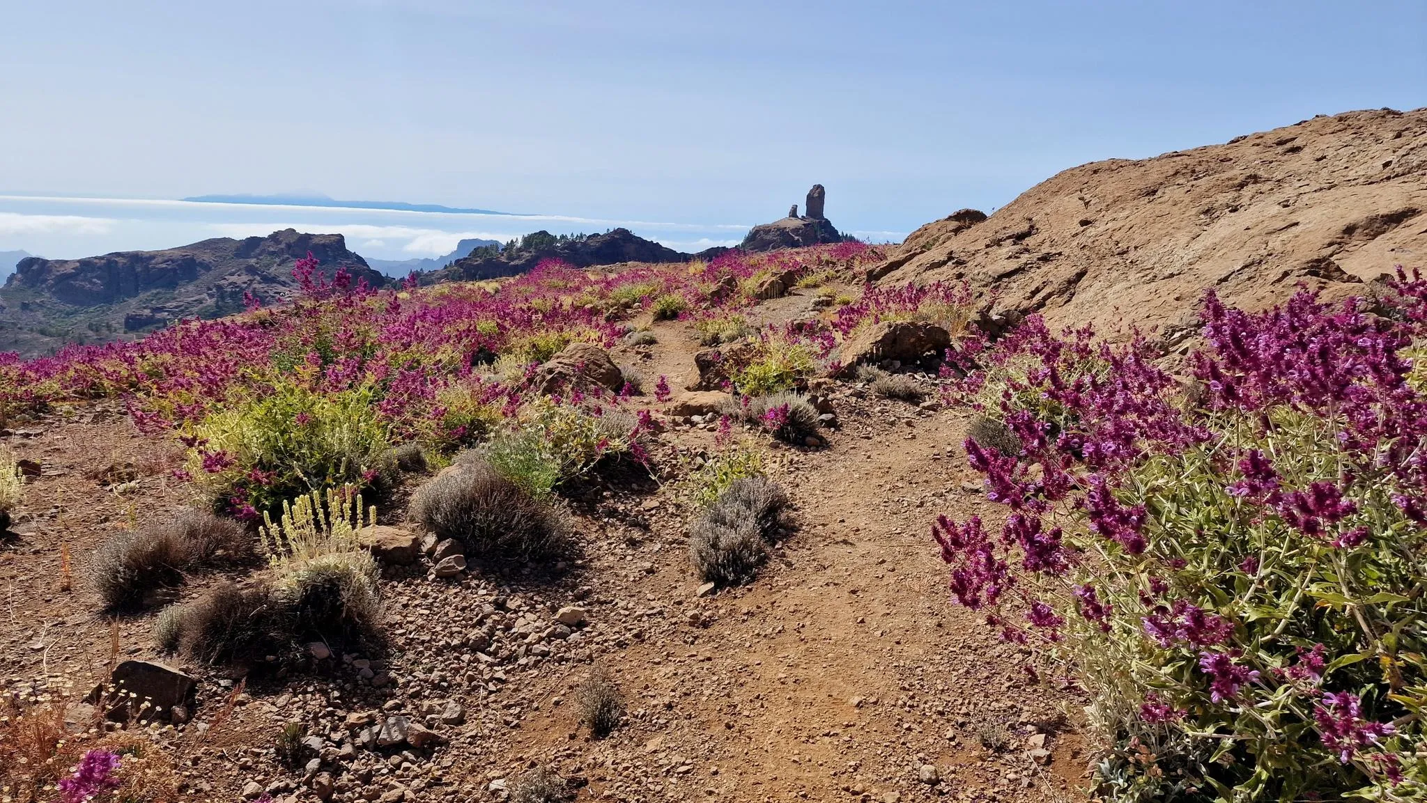
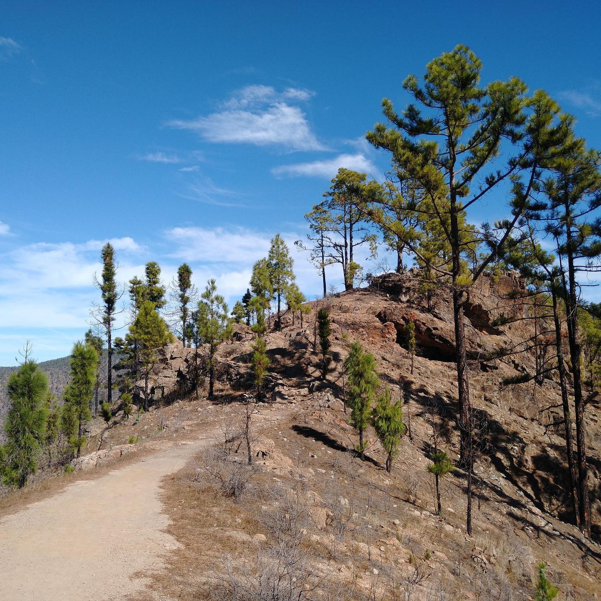
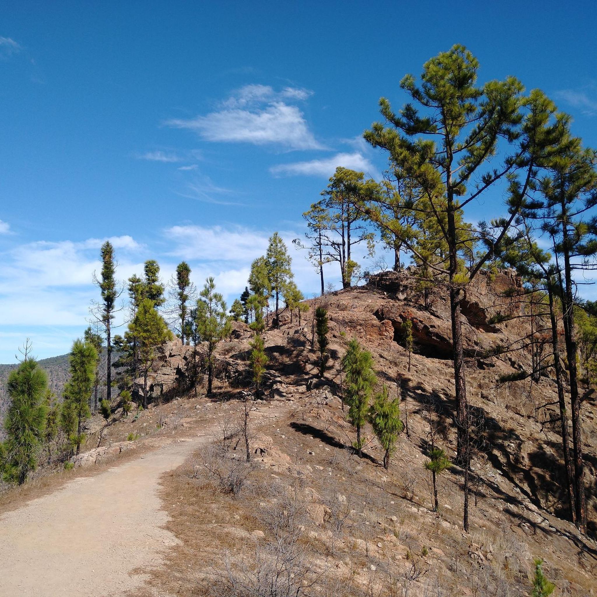
Inconspicuous peak... the path leads through beautiful pine trees and between the trees you can occasionally see the Roque Nublo
1
0

Pine-forested summit - view of El Roque Nublo
2
0
The ascent to the summit leads through romantic pine forests on well-developed paths. Highly recommended if you want to travel north on Gran Canaria.
1
0

The path to this view is quite easy and easy to follow.
1
0
The path to this view is easy to walk and the view is just amazing!
1
0

At 1,027 meters, the Faneque cliff is one of the highest cliffs in the world and the highest in Europe, located on the cliffs in the northwest of Gran Canaria in the heart of the Tamadaba Natural Park. Source: http://www.odyssea.eu/data/?markerID=20376
1
0
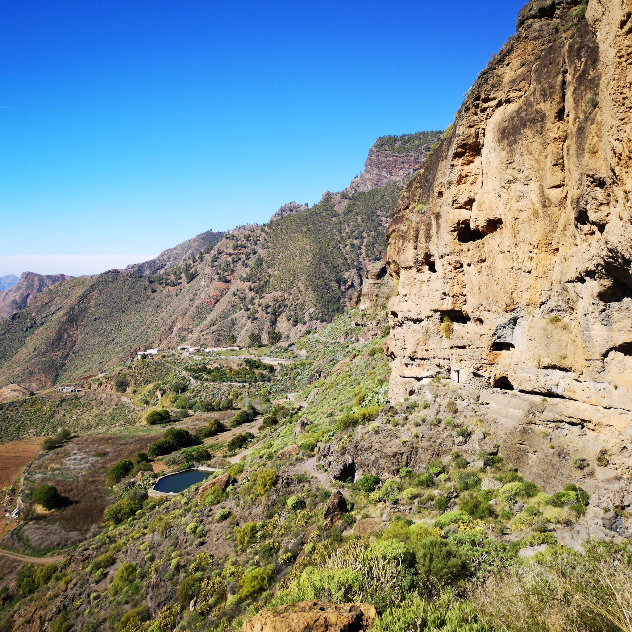
Cliff with an altitude of approx. 1,000 meters and a magnificent view.
1
0
The Tamadaba Nature Park is one of the least man-made areas on Gran Canaria. It stretches over an area of 7,500 hectares in the westernmost part of the island from the mountain peak down to the coast. The nature park is located within the western part of Gran Canaria, which has been declared a UNESCO biosphere reserve. The park offers visitors beautiful forests full of endemic pines, dizzying cliffs on its almost inaccessible coasts and an extraordinary biodiversity in its gorges. Source: https://www.hallokanarischeinseln.com/naturraeume/gran-canaria/naturpark-tamadaba/
1
1
Frequently Asked Questions
What are some of the most popular mountain peaks and viewpoints in Tamadaba?
Within Tamadaba Natural Park, you'll find several notable peaks and viewpoints. Tamadaba Peak, a rocky outcrop at 1443 meters, offers wonderful panoramic views. Another popular spot is Morro de las Lechugas, a viewpoint at approximately 1,000 meters, providing impressive vistas of Gran Canaria's western coast and, on clear days, Tenerife. The Serpentine Trail to Altavista also leads to a peak with great views.
What unique natural features can I expect to see in the Tamadaba mountains?
Tamadaba is renowned for its ancient Canarian pine forests, which are among the best-preserved in the Canary Islands. These unique trees are adapted to catch moisture from trade winds, sustaining the ecosystem. You'll also encounter dramatic coastal cliffs like Risco Faneque Summit, which descends vertically into the sea, and deep ravines formed by the park's volcanic origins. The area is a UNESCO Biosphere Reserve, highlighting its rich biodiversity, including endemic bird species.
Are there family-friendly hiking options among the Tamadaba mountain peaks?
Yes, Tamadaba offers trails suitable for families. For instance, the path leading to Morro de las Lechugas is described as easy to walk, offering amazing views. Many trails wind through the pine forests, providing comfortable and well-maintained paths for various experience levels. Always check specific trail details for suitability with younger children.
What is the best time of year to visit Tamadaba for hiking and enjoying the peaks?
The Tamadaba Natural Park can be enjoyed year-round, but the best season for hiking is generally from autumn to spring (October to May). During these months, temperatures are milder and more pleasant for outdoor activities. Summer can be hot, especially at lower altitudes, though the higher peaks offer some respite. Clear days are ideal for enjoying the panoramic views, so checking the weather forecast before your visit is always recommended.
What outdoor activities can I do near the mountain peaks in Tamadaba?
Beyond hiking to the peaks, Tamadaba offers a variety of outdoor activities. You can find numerous hiking trails, from easy walks through pine forests to more challenging mountain climbs. There are also options for trail running, with routes like the 'Parque Natural de Tamadaba – circular to Morro de las Lechugas and Pico de la Bandera' available. For cyclists, gravel biking routes are also present, such as the 'Tirma Trail – Gated Entrance loop'. You can explore more options in the easy hikes in Tamadaba, running trails in Tamadaba, and gravel biking in Tamadaba guides.
Are dogs allowed on the trails around Tamadaba's mountain peaks?
While the guide data doesn't explicitly detail a dog policy for every trail, Tamadaba Natural Park is generally welcoming to dogs, provided they are kept on a leash to protect the local wildlife and ensure other visitors' enjoyment. It's always best to check local signage or park regulations for specific trail restrictions before heading out with your dog.
What should I pack for a hike to the Tamadaba mountain peaks?
When hiking in Tamadaba, it's advisable to pack layers of clothing as weather conditions can change, especially at higher altitudes. Essential items include sturdy hiking shoes, sufficient water, snacks, sun protection (hat, sunscreen), and a map or GPS device. Even on clear days, a light jacket or windbreaker can be useful. Don't forget your camera to capture the stunning panoramic views!
How long does it typically take to hike to the main peaks in Tamadaba?
Hiking durations vary significantly depending on the specific peak, your starting point, and your fitness level. For example, easy loops around Tamadaba Peak can be completed in a few hours, such as the 'Tamadaba Pine Forest – Tamadaba Peak loop from S-93' which is about 4.4 km. More challenging routes or those combining multiple peaks will naturally take longer, potentially a full day. Always consult route descriptions for estimated times.
Are there any less crowded alternatives to the most popular peaks in Tamadaba?
While Tamadaba Peak and Morro de las Lechugas are popular, the park is vast. Consider exploring trails around Pico de la Casa (1308 m), which offers a pine-forested summit and occasional views of El Roque Nublo, often providing a quieter experience. The extensive network of trails means you can often find peaceful paths away from the main viewpoints.
What do visitors enjoy most about the Tamadaba mountain peaks?
Visitors consistently praise the breathtaking panoramic views in all directions, often extending to the coast and even Tenerife on clear days. The tranquility and pure air of the well-preserved Canarian pine forests are also highly valued, offering a serene escape. Many appreciate the well-maintained hiking trails that wind through diverse landscapes, making the experience both visually rewarding and enjoyable.
Where can I find parking and trailheads for the Tamadaba mountain peaks?
Parking areas and trailheads are typically located at various access points around the Tamadaba Natural Park. Specific starting points for popular routes, such as those leading to Tamadaba Peak or the Serpentine Trail to Altavista, are usually marked. It's recommended to check detailed route information on Komoot or local park maps for precise trailhead locations and parking availability.
Are there any cafes or restaurants near the Tamadaba mountain trails?
The Tamadaba Natural Park is known for its preserved natural state, meaning amenities like cafes and restaurants are not typically found directly on the trails or at the immediate peak areas. It's advisable to bring your own food and drinks. You will find dining options in the nearby towns and villages surrounding the park, such as Agaete or Artenara, which are accessible by car.
Most popular routes in Tamadaba
Most popular attractions in Tamadaba

Get inspired with the komoot mobile app


Explore more
See even more amazing summits in Tamadaba with these guides:
