Top 8 Waterfalls around Colere
Waterfalls around Colere are a prominent natural feature in the Bergamo Alps, a region known for its mountainous terrain and outdoor activities. While Colere itself is a small mountain town, the wider area offers access to significant natural attractions. The landscape is characterized by valleys, streams, and high peaks, providing the conditions for various waterfall formations. This area is part of Lombardy, offering a blend of natural beauty and opportunities for exploration.
Best waterfalls around Colere
- The most popular waterfalls…
Last updated: July 13, 2026
Serio Falls
Highlight • Waterfall
Translated by Google •
Tip by

Vò Waterfall
Highlight • Waterfall
Translated by Google •
Tip by

Sign up now to discover places like this
Get recommendations on the best single tracks, peaks, & plenty of other exciting outdoor places.
Sign up for free
Giant's Kettles of Valzurio
Highlight • Natural Monument
Translated by Google •
Tip by

Piana del Vò and Cascata del Vò
Highlight • Natural
Translated by Google •
Tip by

Foga Waterfalls
Highlight • Waterfall
Translated by Google •
Tip by

Sign up for free to discover even more waterfalls around Colere.
Sign up for free
Already have an account?
Start today with a free account
Your next adventure awaits.
Login or Signup
Popular around Colere

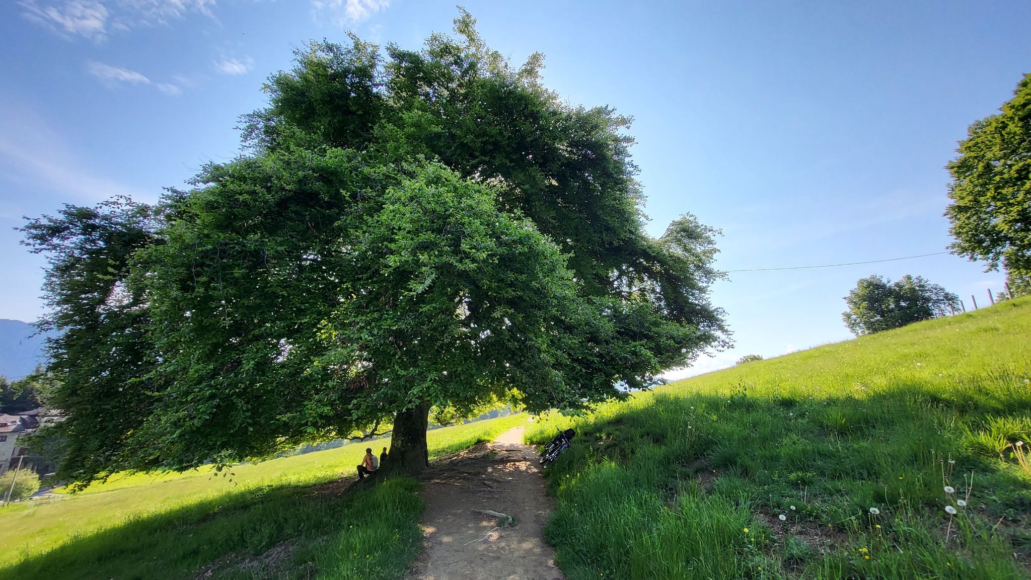
Path of the Iron Woods in Northern Italy – Via Decia
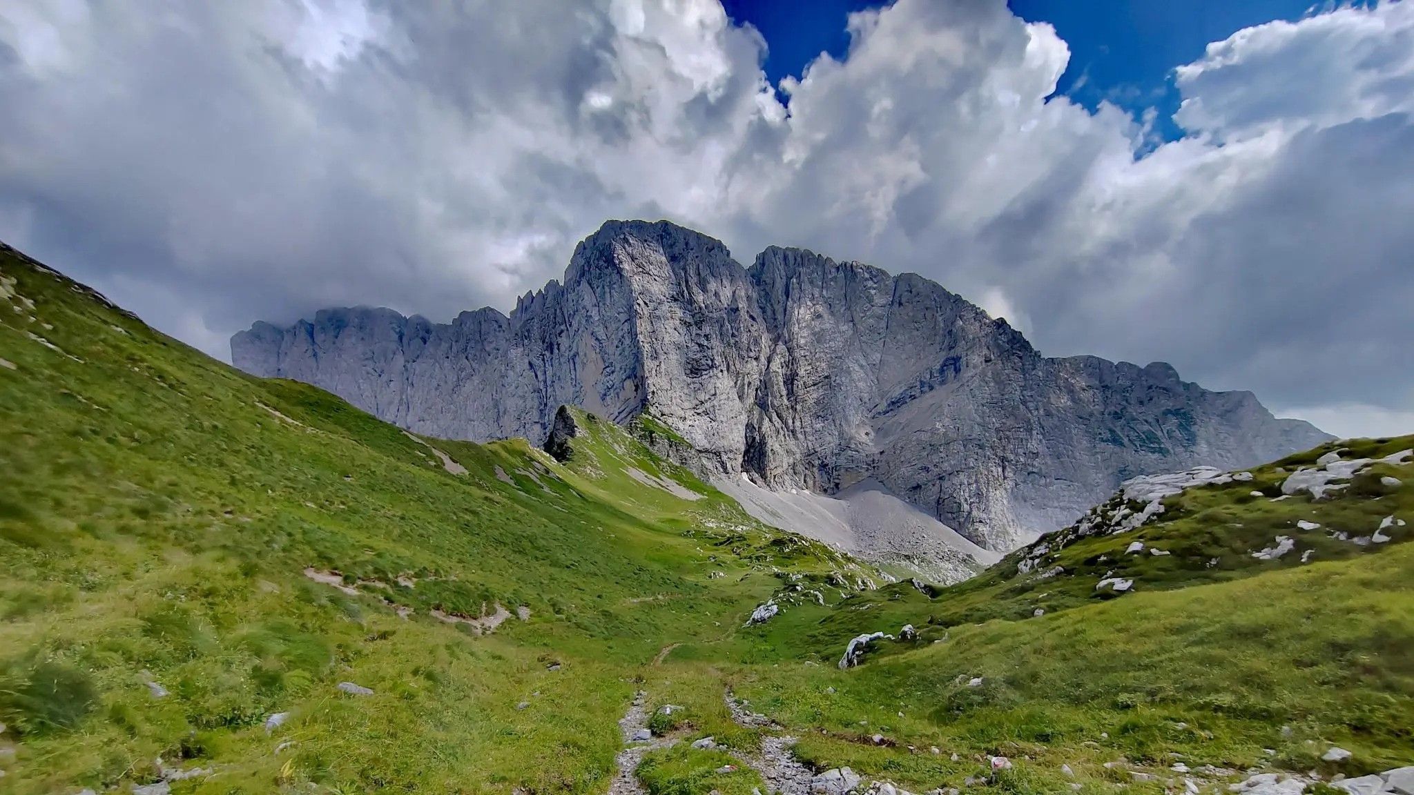
In Val di Scalve – CamminaForeste in Lombardia part 4
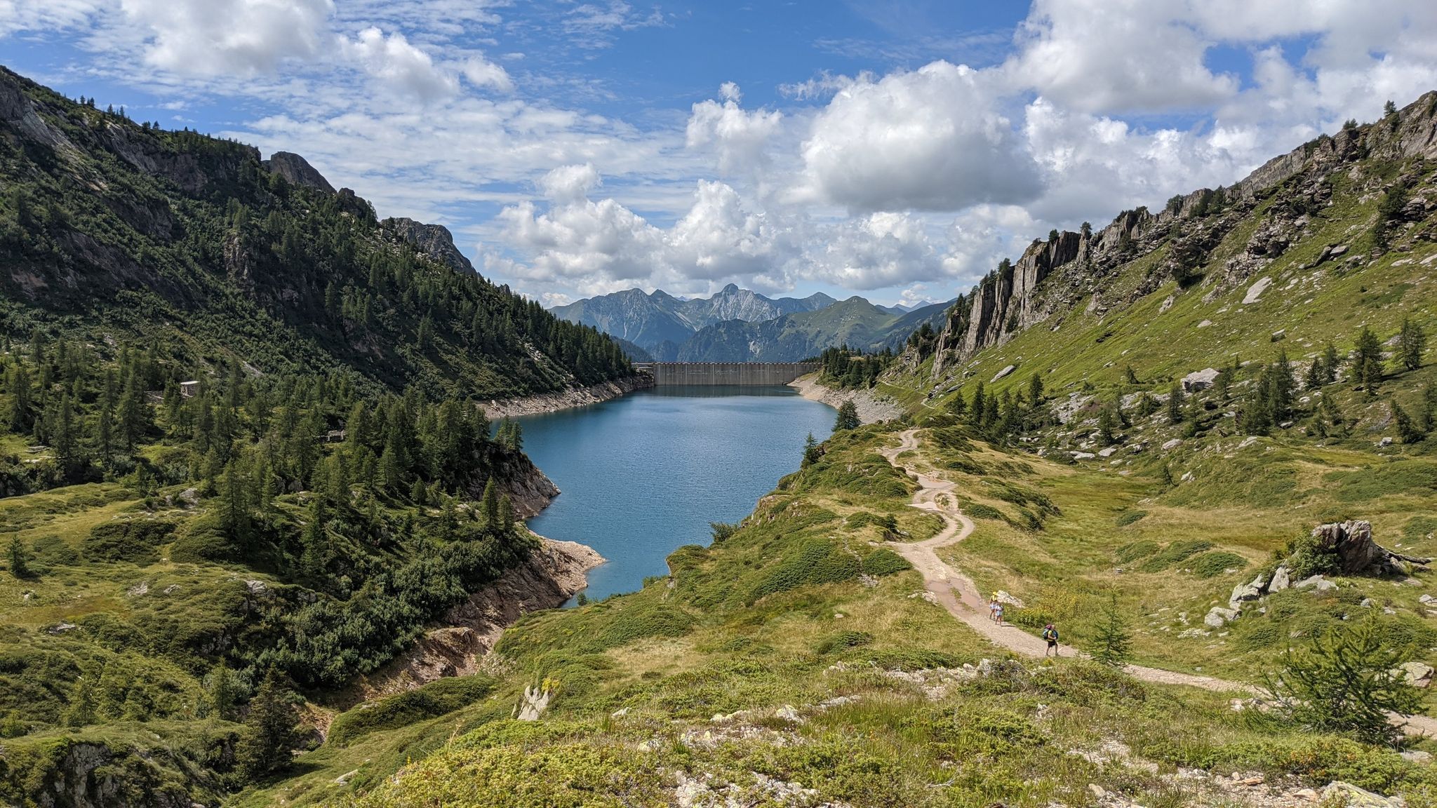
Trekking in val di Scalve – among the Piccoli Dolomiti Bergamasche
Eastern Orobie Path – a loop through Italy’s Orobie Mountains

A stone's throw from Presolana – trekking in Italy’s Val Seriana
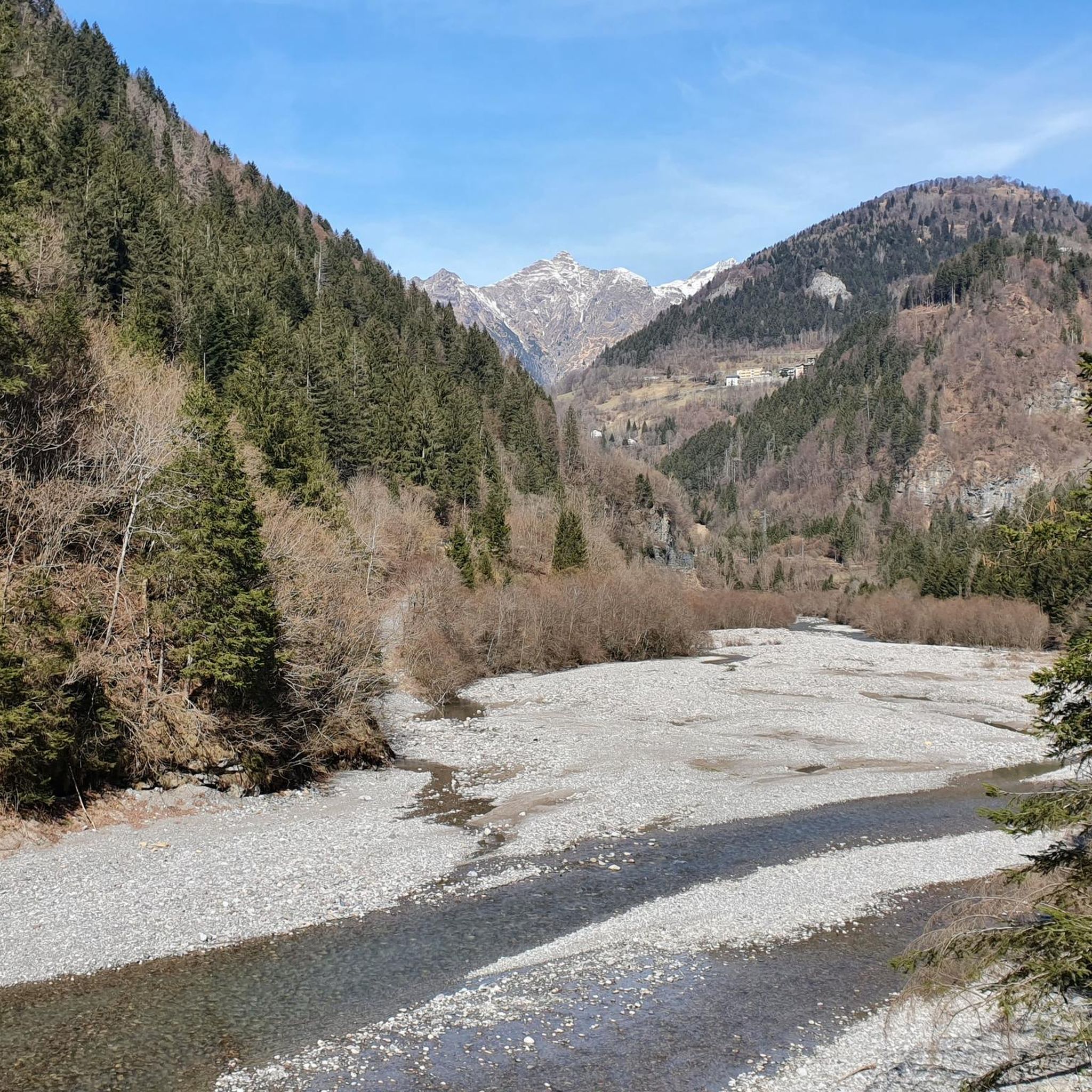
Hiking around Colere
MTB Trails around Colere
Road Cycling Routes around Colere
Cycling around Colere
Running Trails around Colere
Other adventures around Colere


Tips from the Community

Snow-covered Giants' Cauldrons!
1
0

The Foga Falls are located in the Foga Valley, just above Valbondione, and offer a striking natural spectacle with a drop of approximately 125 meters at an altitude of 1,800 meters. These waterfalls are immersed in a fascinating landscape and historical context, linked to the Redorta mountain huts and the area's mining history. Here's a detailed overview: 🌊 Characteristics of the Foga Falls Elevation: approximately 1,800 meters above sea level. Drop: 125 meters, visible in all its grandeur, especially during flood periods. Visual effects: Rainbows often form in the cascading water, making the site particularly photogenic. 🥾 Access and itineraries Recommended trail: CAI 331, which starts from the town of Valbondione, near the bus depot. Duration: About a 30-minute walk to reach Salvasecca, which provides access to the Foga Valley and the waterfalls. Difficulty: Low, also suitable for less experienced hikers. Alternative route: From Lizzola Bassa, a 6.6 km loop with 487 m of elevation gain. 🏞️ Landscape and historical context The Foga Valley opens west of Valbondione, descending steeply from the slopes of Pizzo Redorta. It is crossed by a penstock that feeds the Dossi power plant, with a historic stone tower (ENEL well) visible along the trail. The Redorta and Rigù huts are ideal destinations for continuing the hike, immersed in the greenery of the Orobie Alps.
0
0

Beautiful waterfalls are visible both at this point on the agro-forestry/pastoral road and at 1,100 meters above sea level on the short stretch of trail that branches off from the bend in the road. From this second point, the waterfalls are truly impressive!
0
0

Beautiful waterfalls, both visually and physically, given the cool atmosphere. Useful for taking some photographs and for cooling off and refilling water bottles.
1
0
The Cascate del Vò are a true natural jewel nestled in the Val di Scalve, near Schilpario (BG). It is a series of spectacular waterfalls, immersed in an uncontaminated alpine landscape, perfect for a regenerating trip. 🌊 What makes them special: The water rushes down between the rocks creating a fresh and relaxing atmosphere The path that leads to the waterfalls is also suitable for families and offers breathtaking panoramic views It is a point of passage for those continuing towards the Piana del Vò or the Rifugio Tagliaferri 📍 Where they are: Località La Paghera, 24020 Schilpario (BG)
0
0
Piana del Vò is a beautiful natural area located in Val di Scalve, in the Bergamo Orobie Alps. It is particularly appreciated for its tranquility, breathtaking views and proximity to the suggestive Cascata del Vò, one of the most popular attractions in the area. 🌿 What you can expect from Piana del Vò: Enchanting alpine landscapes: green meadows surrounded by woods and mountains, ideal for picnics or moments of relaxation. Excursions and trekking: starting point for paths that lead to the Rifugio Tagliaferri or the Passo del Vò. Cascata del Vò: easily reachable on foot, it is an unmissable stop for those who love nature and photography. 📍 It is located near Schilpario, in the province of Bergamo, and is accessible all year round, although it gives its best in spring and summer.
0
0

walk suitable for everyone, in any season. My children were thrilled with it
0
0
The Marmitte dei Giganti of Valzurio, in the province of Bergamo, are spectacular natural basins carved out by the Ogna stream. These geological formations were created thanks to river erosion in areas once covered by glaciers. The hike to reach them is fascinating and also suitable for children, with a difference in altitude of about 300 meters and a travel time of 1 hour and 45 minutes - 2 hours. The most characteristic trail is the CAI 340, which follows the Ogna stream through the woods. A shorter alternative is the dirt road that starts from the car park in Spinelli. Along the way you will come across the Baite del Möschel and the suggestive Buco del Freddo, a stone construction used in the past to preserve fresh products. Once you arrive at the Marmitte, you can admire the crystalline water flowing between the rocks, creating a truly unique landscape
1
0
Frequently Asked Questions
What are some unique natural features to see around Colere's waterfalls?
Beyond the waterfalls themselves, you can explore the Giant's Kettles of Valzurio. These are fascinating cylindrical basins carved by the Ogna stream, connected by waterfalls and known for their clear, turbulent water. They offer a unique geological spectacle.
Are there any family-friendly waterfalls or natural attractions near Colere?
Yes, the Vò Waterfall is considered family-friendly and features a well-equipped picnic area on its slopes, perfect for enjoying the natural surroundings. The Giant's Kettles of Valzurio also have a beautiful picnic area nearby and are relatively easy to reach.
When is the best time to visit the Serio Falls?
The Serio Falls are unique because they are formed by the controlled opening of the Barbellino Dam. They are typically opened only five times a year on pre-established dates between June and October. To witness their full power, you must check the official release calendar. Each release usually lasts about 30 minutes to an an hour.
What kind of hiking trails can I find near the waterfalls around Colere?
The area offers a variety of hiking experiences. For instance, the hike to Serio Falls from Valbondione involves a considerable elevation gain but rewards with stunning views. You can also find trails like the CAI 340 near the Waterfalls and Stream Along the Ogna River, which offers scenic routes through woods and meadows.
What outdoor activities are available in the Colere region besides visiting waterfalls?
The Colere region is excellent for various outdoor activities. You can find numerous cycling routes, including challenging loops like the 'Schilpario – Passo del Vivione loop' for touring bikes, or 'Baita Termen – L.L. Magnolini Hut loop' for mountain biking. There are also running trails, such as the 'Lago del Gleno loop' or routes leading to mountain refuges like Rifugio Luigi Albani. You can explore more options on the Cycling around Colere, Running Trails around Colere, and MTB Trails around Colere guide pages.
Are there any waterfalls that are easily accessible or have amenities nearby?
The Vò Waterfall is easily reachable and has a well-equipped picnic area. Similarly, the Giant's Kettles of Valzurio are noted for being easy to reach and also have a picnic area nearby, making them convenient for visitors.
What makes the Serio Falls so significant?
The Serio Falls are Italy's highest waterfall and the second-tallest cascading waterfall in Europe, with an impressive 315-meter drop across three sections. Their unique controlled release from the Barbellino Dam, occurring only a few times a year, adds to their allure, making each viewing a special event.
Can I find viewpoints or scenic spots near the waterfalls?
Many waterfalls in the region offer excellent viewpoints. Serio Falls and Vò Waterfall are both categorized as viewpoints. Additionally, the trails along the Ogna River offer spectacular views of the Presolana and surrounding mountains.
What is the Piana del Vò and how does it relate to the Vò Waterfall?
The Piana del Vò is a beautiful natural area in Val di Scalve, known for its tranquility and breathtaking views. It's particularly appreciated for its proximity to the suggestive Cascata del Vò, which is easily reachable on foot from the Piana. It also serves as a starting point for longer treks to places like Rifugio Tagliaferri.
Are there any historical or cultural aspects associated with the waterfalls in the Colere area?
While the waterfalls themselves are primarily natural wonders, the Serio Falls have a rich history, being mentioned in travel narratives since the 16th century. A local legend attributes their origin to the tears of a jealous woman. The nearby village of Maslana, along the hike to Serio Falls, also offers a glimpse into authentic local life.
What do visitors enjoy most about the waterfalls around Colere?
Visitors frequently appreciate the sheer impressiveness of the waterfalls, especially the dramatic 315-meter drop of Serio Falls. The unique geological formations like the Giant's Kettles are also a big draw. Many enjoy the accessibility of some falls, like Vò Waterfall, which allows for relaxing picnics amidst nature.
Are there any specific trails that lead to multiple waterfalls or natural features?
Yes, for example, the path along the Ogna River in Parco delle Orobie Bergamasche not only features waterfalls and streams but also leads to other points of interest like the Buco del Freddo and the Baite del Moschel, offering a diverse natural experience.
Most popular routes around Colere
Most popular attractions around Colere

Get inspired with the komoot mobile app


Explore more
Happy to travel a little further afield? Then browse these guides for the best waterfalls around Colere:
