The 4 Most Amazing Peaks around Guardiaregia
Best mountain peaks around Guardiaregia are found within a rugged and wild natural landscape, primarily within the Guardiaregia-Campochiaro Regional Reserve and the broader Matese Massif. This mountain town in the Province of Campobasso, Molise, Italy, offers notable mountain peaks for their natural beauty and hiking opportunities. The region is characterized by its Apennine mountains, providing panoramic views. Visitors can explore diverse terrain, from high summits to karst plateaus.
Best mountain peaks around Guardiaregia
- The most popular mountain peaks is La Gallinola Summit, a summit that is part of the Matese massif. With its elevation of 1923 meters, it is noted as the highest point in Campania, offering expansive views.
- Another must-see spot is Mount Mutria, a summit and viewpoint. Visitors can expect to see the great mountains of the Apennines, and on clear days, even the sea, from its 1823-meter altitude.
- Visitors also love Punta Giulia (Anticima della Gallinola), a challenging summit and viewpoint. This peak, at 1917 meters, is also recognized as a high point in Campania, offering significant panoramic vistas.
- Guardiaregia is known for its summits, viewpoints, and natural monuments. The region offers a variety of mountain peaks to see and explore, including high-altitude points within the Matese Massif and the Guardiaregia-Campochiaro Regional Reserve.
- The mountain peaks around Guardiaregia are appreciated by the komoot community, with 14 upvotes and 11 photos shared by visitors.
Last updated: July 13, 2026
La Gallinola Summit
Highlight • Summit
Translated by Google •
Tip by

Mount Mutria
Highlight • Summit
Translated by Google •
Tip by

Sign up now to discover places like this
Get recommendations on the best single tracks, peaks, & plenty of other exciting outdoor places.
Sign up for free
Punta Giulia (Anticima della Gallinola)
Highlight • Summit
Translated by Google •
Tip by

Pianellone Karst Plateau
Highlight • Natural Monument
Translated by Google •
Tip by
Sanctuary of Monte Calvario with views over Cusano Mutri
Highlight • Religious Site
Translated by Google •
Tip by
Sign up for free to discover even more peaks around Guardiaregia.
Sign up for free
Already have an account?
Start today with a free account
Your next adventure awaits.
Login or Signup

Tips from the Community

Gallinola (1,923 m above sea level) is the second highest peak in the Matese range and is located in Molise. It can be reached from Campitello Matese via a 5.5 km hike and an elevation gain of just under 500 meters. The view from the summit is spectacular, stretching from the Maiella to the Tyrrhenian Sea, clearly visible in good weather.
1
0

Challenging route with a difference in altitude of about 600m, starting from the Ecocamous refuge located in the Santa Maria valley. During the route you will encounter woods, valleys and a beautiful view of Lake Matese. The route leads to the highest peak in Campania, La Gallinola (1923m)
0
0

Getting there from the Santa Maria refuge was a slog but when you admire the view you understand that it's worth it
3
0

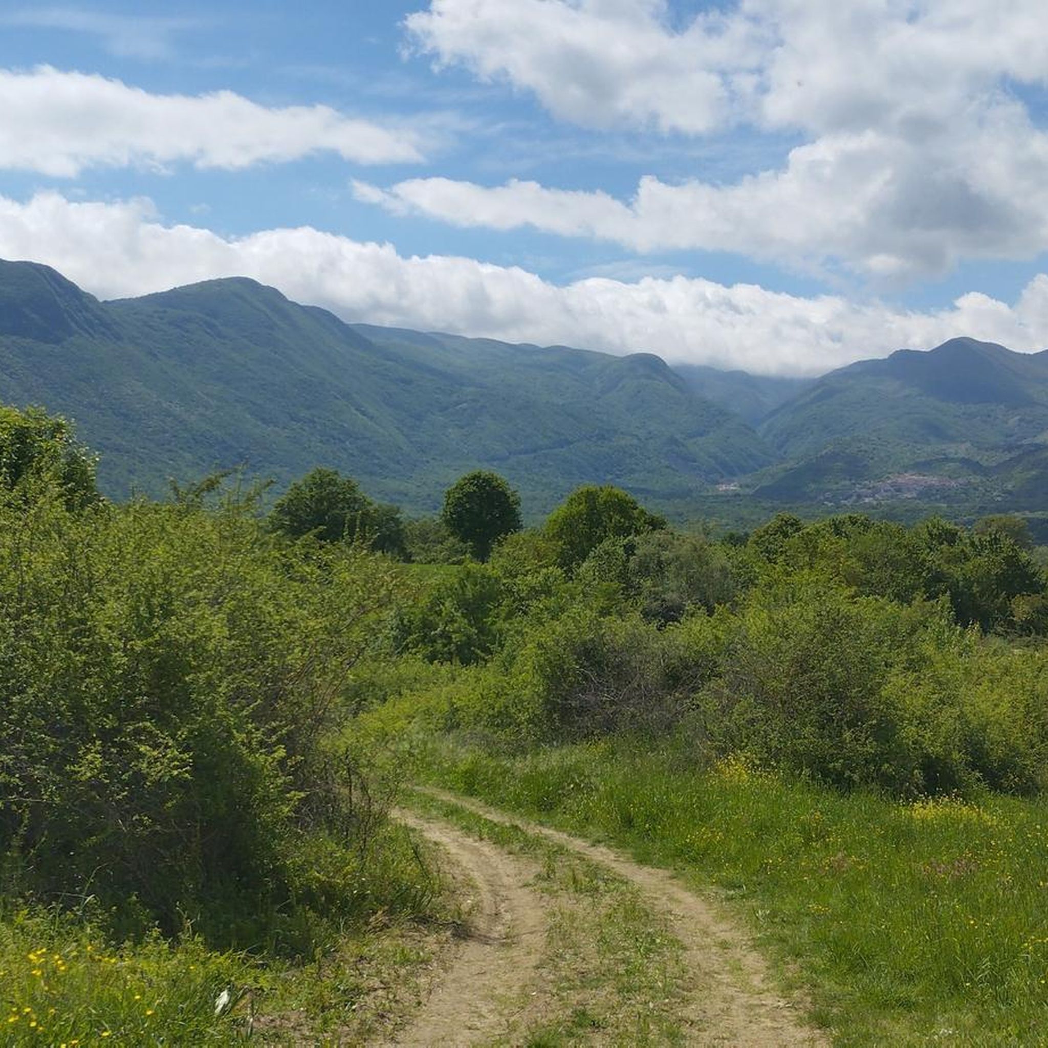
Monte Mutria is the highest peak of the Guardiaregia-Campochiaro Regional Reserve, with its 1823 meters of altitude. Near the top is the chapel of Sant'Antonio, built in the 1990s and a destination for summer pilgrimages. The panorama extends over the great mountains of the Apennines, and on the clearest days you can even see the sea.
2
0

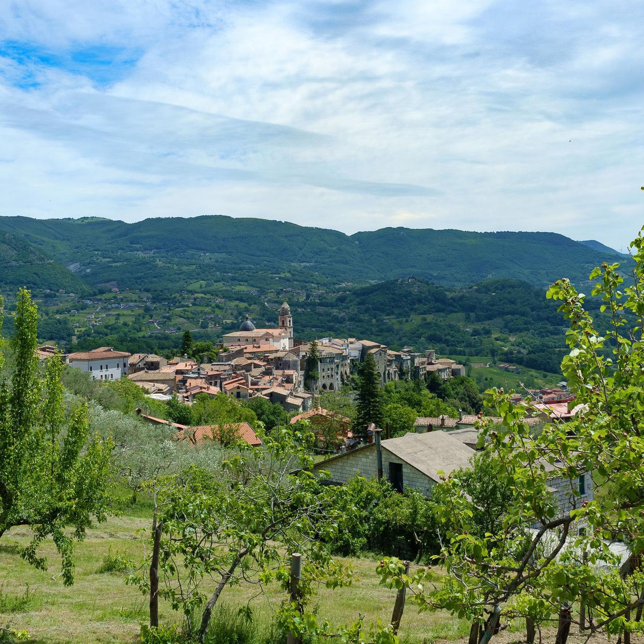
Monte Calvario is located at 545 meters and offers a beautiful view of Cusano Mutri and its surroundings.
1
0
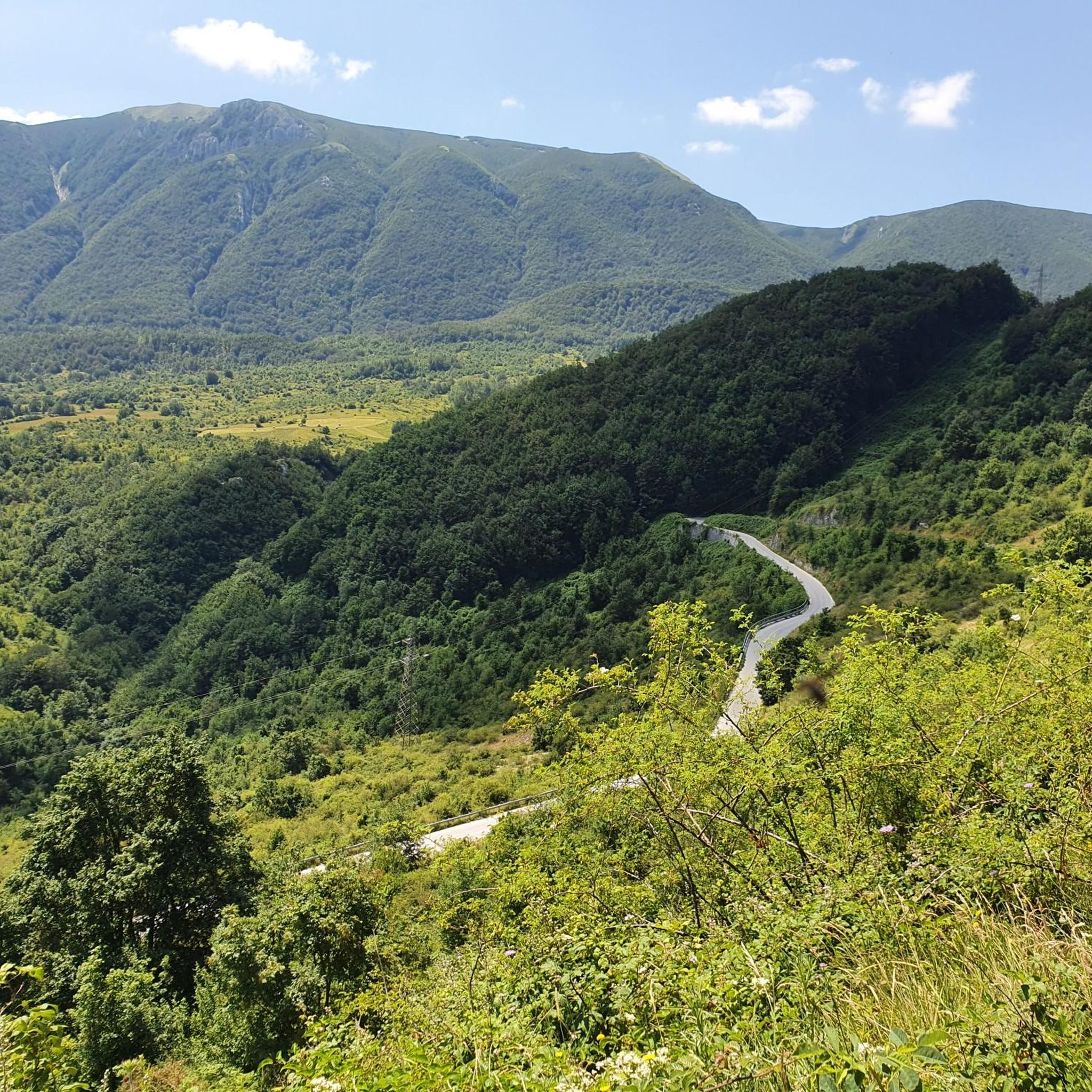
Gallinola is part of the Matese massif, and with its 1923 meters it is the highest point in Campania. From here the breathtaking panorama is guaranteed.
4
0
The Pianellone is located at an altitude of 1390 meters. It is one of the largest karst basins in the Matese area.
1
0

Not really a place to bike but if there's no one why not :) It has a great view on top of the hill
0
0
Frequently Asked Questions
What are the most popular mountain peaks to visit around Guardiaregia?
The most popular peaks include La Gallinola Summit, which is the highest point in Campania at 1923 meters and offers breathtaking panoramas. Another favorite is Mount Mutria, the highest peak in the Guardiaregia-Campochiaro Regional Reserve, known for its extensive views of the Apennines and even the sea on clear days.
What kind of views can I expect from the mountain peaks in this region?
From peaks like La Gallinola Summit and Mount Mutria, you can expect expansive and breathtaking panoramas. These often include the vast Apennine mountains, Lake Matese, and on very clear days, even the Adriatic and Tyrrhenian seas, Mount Vesuvius, and the island of Capri.
Are there challenging hikes to the mountain peaks around Guardiaregia?
Yes, many of the routes to the peaks are considered challenging. For instance, the path to La Gallinola Summit involves a significant altitude difference of about 600 meters. Similarly, Monte Mutria offers a hard hike requiring very good fitness, sure-footedness, sturdy shoes, and alpine experience. Punta Giulia (Anticima della Gallinola) is also recognized as a challenging summit.
What natural attractions, besides the peaks, can I find in the Guardiaregia area?
The region is rich in natural features. Within the Guardiaregia-Campochiaro WWF Oasis, you can explore the evocative Quirino Gorges and the impressive 100-meter-high San Nicola Waterfall. The area is also known for its significant karst phenomena, including large caves like Pozzo della Neve and Cul di Bove, and the Pianellone Karst Plateau, one of the largest karst basins in the Matese area.
What outdoor activities can I do near these mountain peaks?
The area around Guardiaregia offers diverse outdoor activities. You can find numerous hiking trails, including challenging routes to the peaks and more moderate options. There are also dedicated routes for mountain biking and running. For detailed information on routes, you can explore the Hiking around Guardiaregia, MTB Trails around Guardiaregia, and Running Trails around Guardiaregia guides.
Are there any protected natural areas or wildlife to observe?
Yes, the Guardiaregia-Campochiaro Regional Reserve is also a WWF Oasis, a protected environment known for its diverse wildlife. This area is home to species such as wolves, wildcats, golden eagles, and deer, offering excellent opportunities for nature observation.
What is the best time of year to hike the mountain peaks in Guardiaregia?
While specific seasonal advice for Guardiaregia's peaks isn't detailed, mountain regions generally offer the best hiking conditions during late spring, summer, and early autumn. These periods typically provide more stable weather, less snow at higher altitudes, and longer daylight hours. Always check local weather conditions before heading out.
Are there any historical or religious sites on the mountain peaks?
Yes, near the summit of Mount Mutria, you can find the chapel of Sant'Antonio. Built in the 1990s, it serves as a destination for summer pilgrimages, adding a cultural and religious element to the natural experience.
What should I know about the terrain and difficulty of trails to the peaks?
The terrain is rugged and wild, often featuring woods, valleys, and karst landscapes. Trails to the higher peaks like La Gallinola Summit and Mount Mutria are challenging, requiring good fitness, sure-footedness, and sturdy shoes. Some routes may even demand alpine experience due to significant elevation changes and exposed sections.
Where can I find more information about the Guardiaregia-Campochiaro Regional Reserve?
For additional details about the protected area, you can visit the official Italian tourism website: Guardiaregia-Campochiaro Regional Reserve.
What do visitors enjoy most about the mountain peaks around Guardiaregia?
Visitors consistently praise the breathtaking panoramas and the sense of accomplishment from reaching the summits. The challenging nature of the hikes, combined with the reward of expansive views over the Apennines, Lake Matese, and distant seas, is a major draw. The pristine natural environment and diverse landscapes, from beech forests to karst plateaus, are also highly appreciated.
Most popular attractions around Guardiaregia

Get inspired with the komoot mobile app


Explore more
See even more amazing summits around Guardiaregia with these guides:
