The 5 Most Amazing Peaks around Momperone
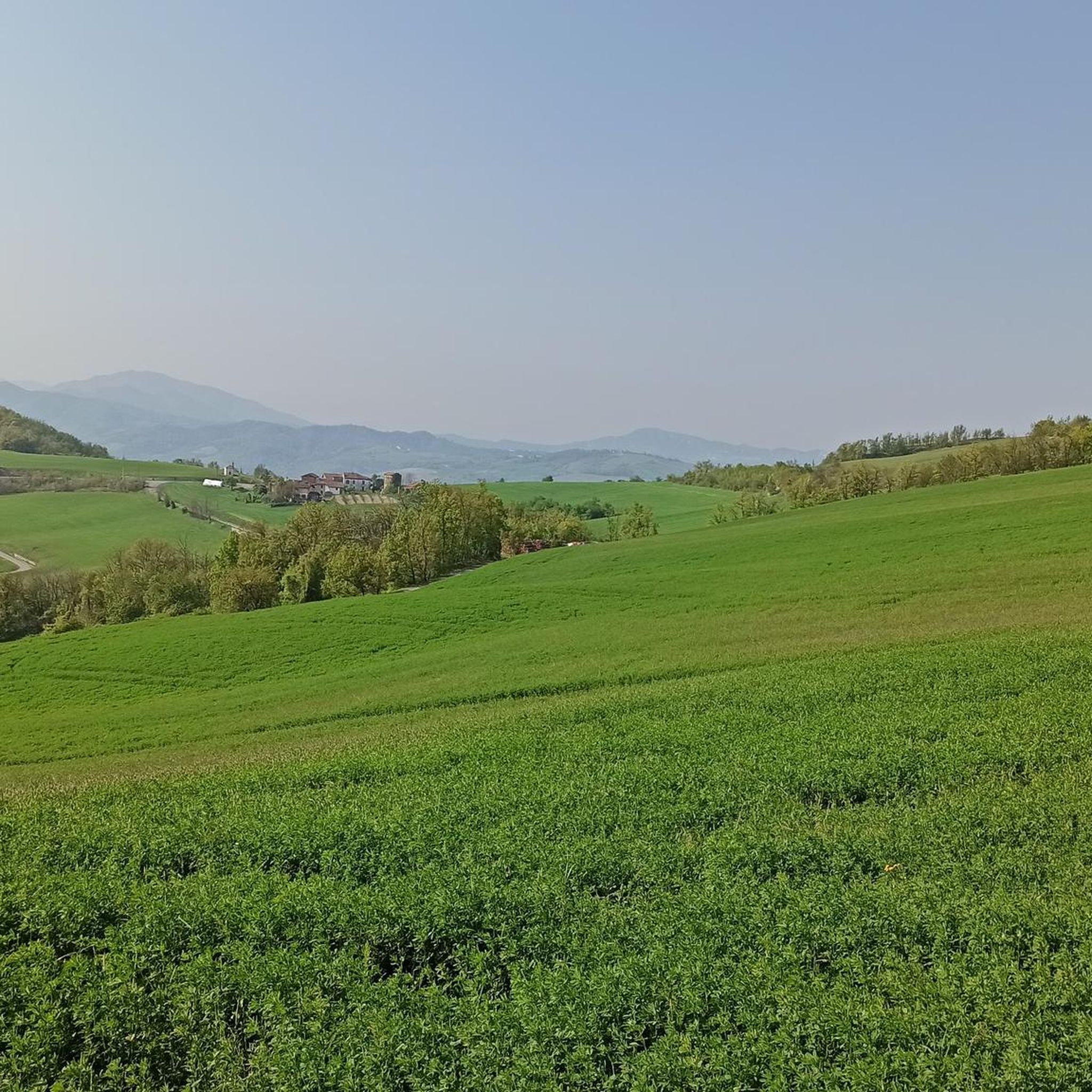
Mountain peaks around Momperone, a comune in the Province of Alessandria, Piedmont, Italy, are situated in the upper Curone Valley. This region is part of the Ligurian Apennines, providing access to various peaks in the surrounding area. While Momperone itself is at a lower elevation, the nearby valleys offer diverse hiking terrain and natural features. The area is characterized by a landscape of forests, meadows, and river valleys.
Best mountain peaks around Momperone
- The most popular mountain peaks is Monte…
Last updated: June 30, 2026
Monte San Vito Summit
Highlight • Summit
Translated by Google •
Tip by

Monte Zerbet Enduro Trails
Highlight • MTB Park
Translated by Google •
Tip by
Sign up now to discover places like this
Get recommendations on the best single tracks, peaks, & plenty of other exciting outdoor places.
Sign up for free
Monte Gambera
Highlight • Viewpoint
Translated by Google •
Tip by
Monte Barilaro
Highlight • Summit
Translated by Google •
Tip by

Monte Ronzone
Highlight • Summit
The path goes up through the village of Batista!
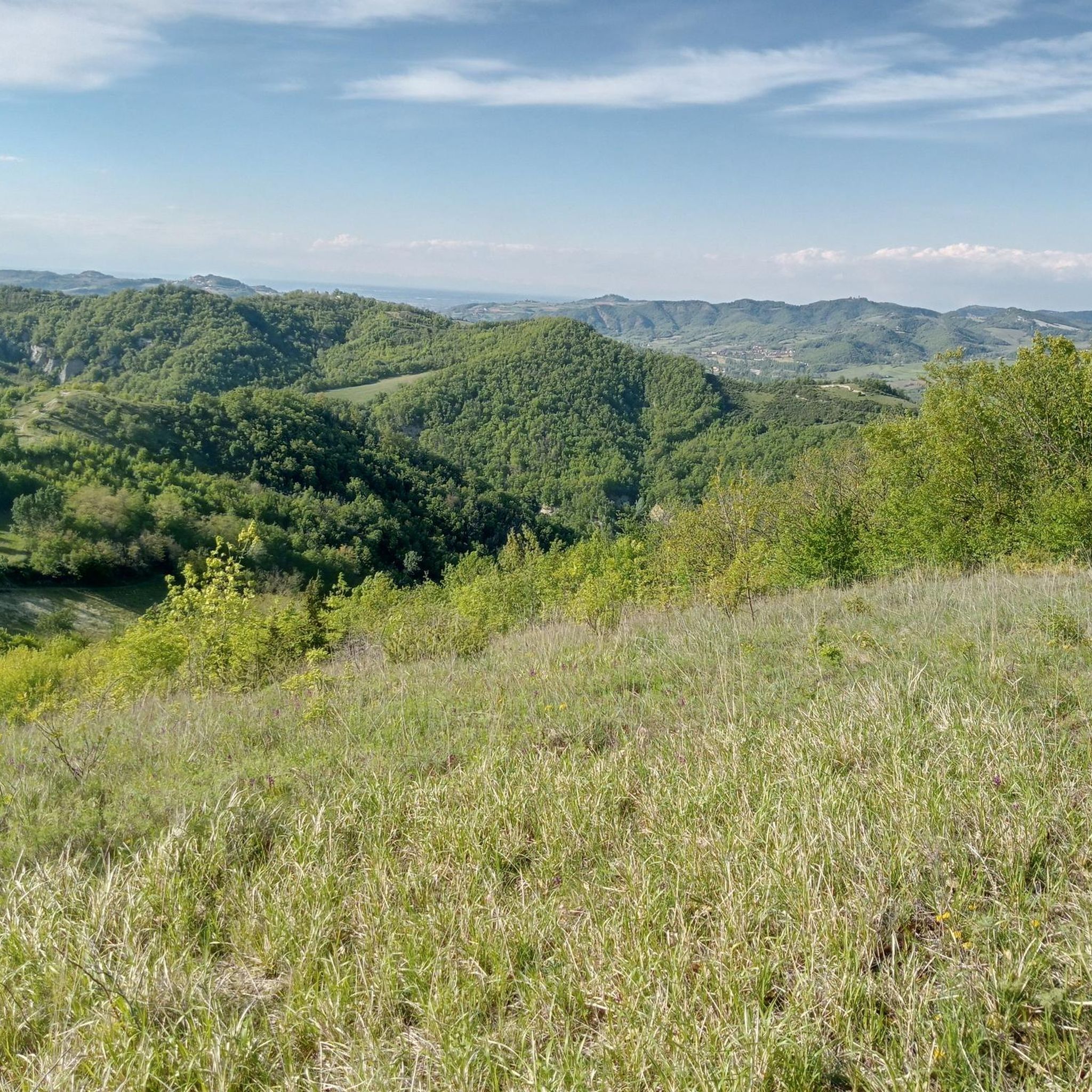
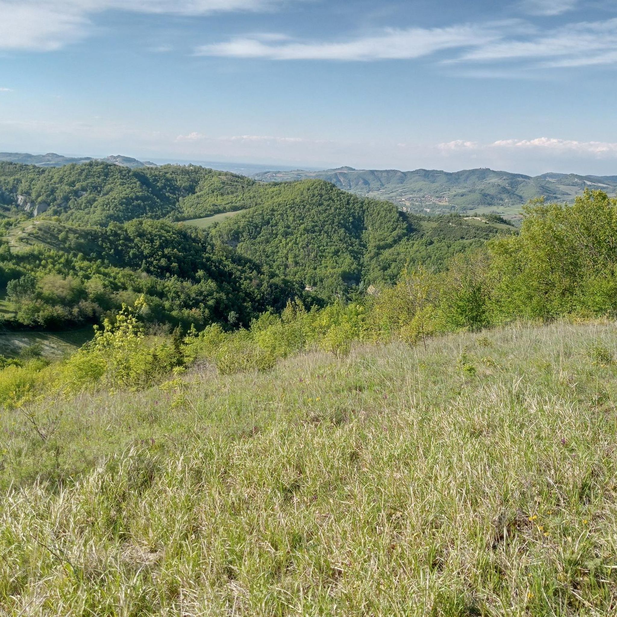
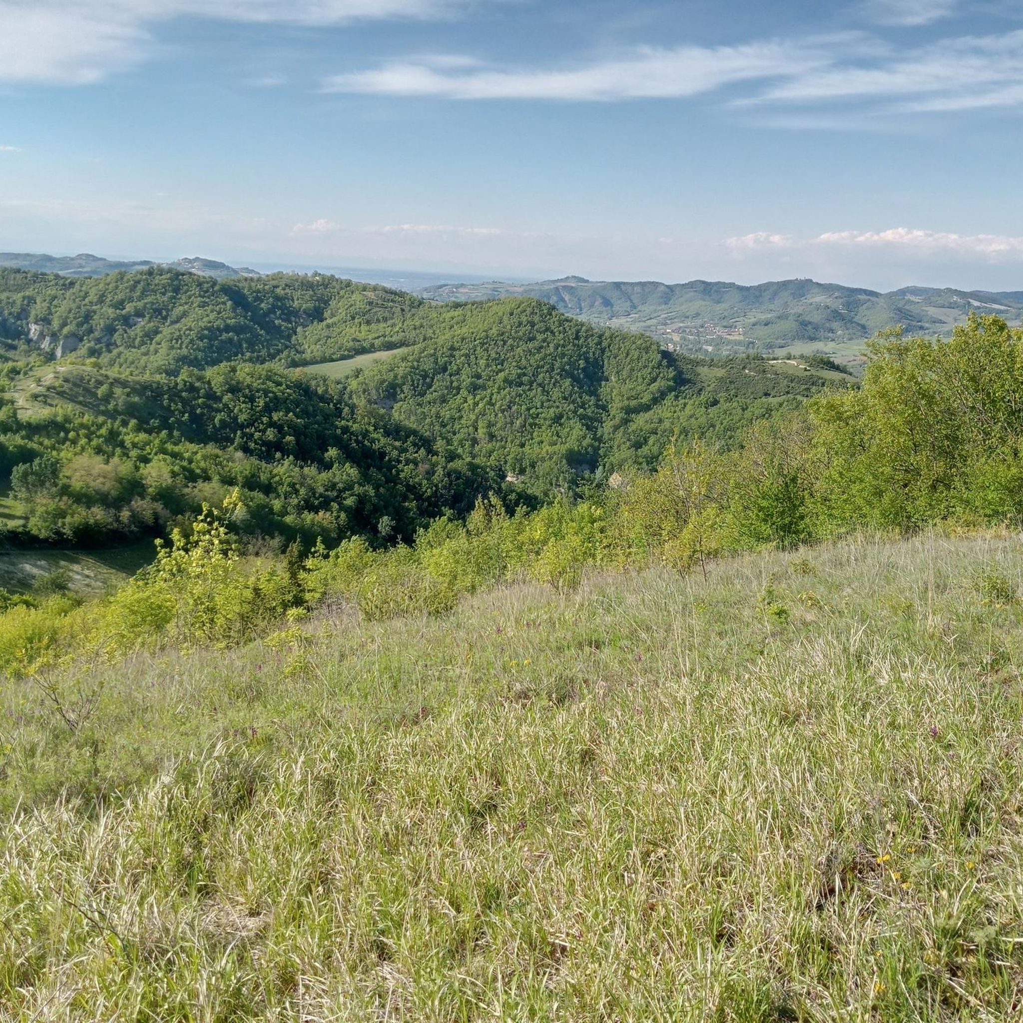
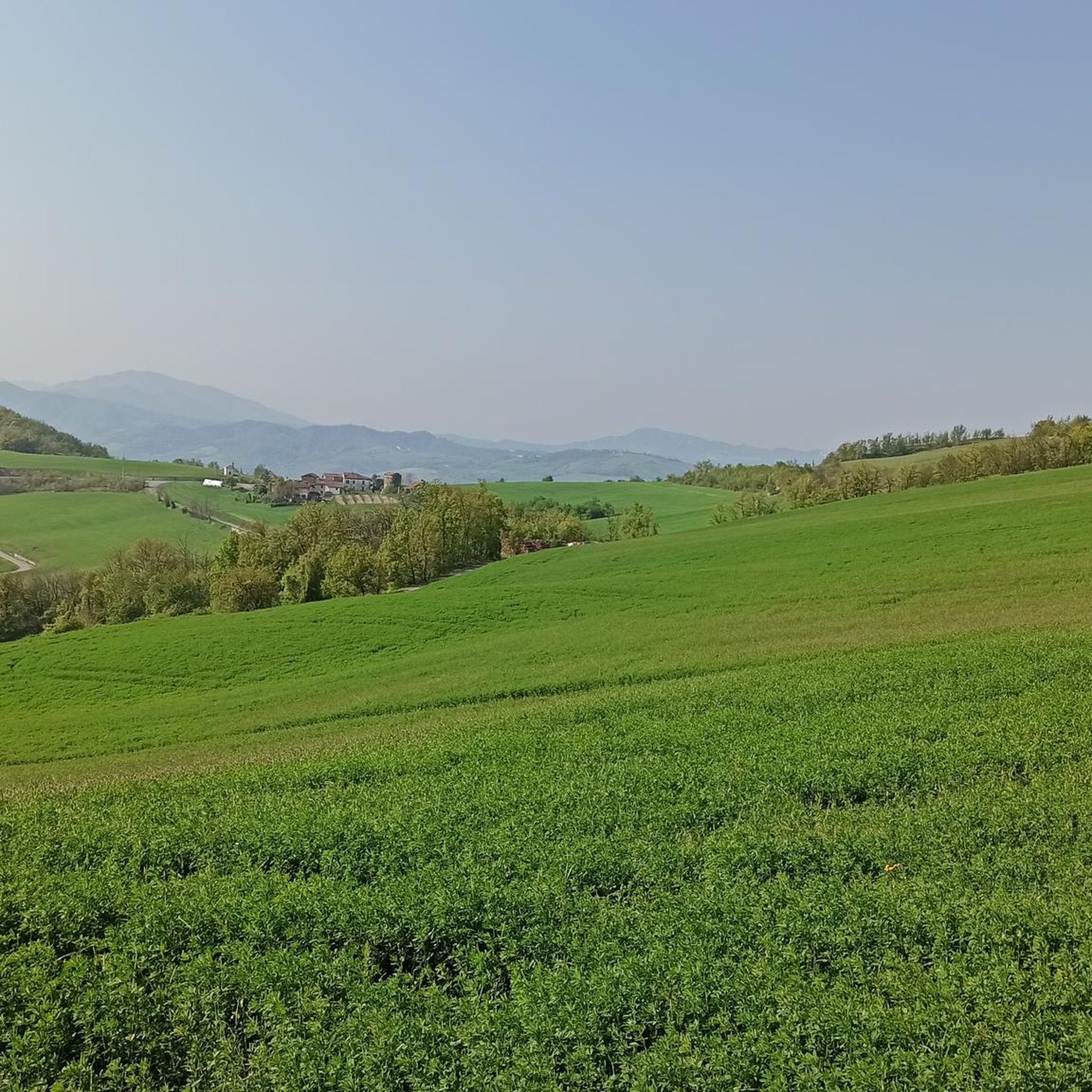
The view is really great! Wide all-round view
Translated by Google •
Tip by

Start today with a free account
Your next adventure awaits.
Login or Signup
Tips from the Community

Somewhat arduous, lonely climb. The path goes up through the village of Batista! The view is really great! Wide all-round view
0
0

Compared to the nearby Monte Gavasa it is panoramic ... on the east side it is characterized by a part of conglomerate and being devoid of trees the panorama is excellent ... worth a visit!
0
0

Cross placed on the top of Mount S. Vito.
0
0


Panoramic point where some trails in the San Vito area started
0
0

It can be reached on foot or by mountain bike, enjoying both a magnificent sunrise and sunset considering the privileged position.
0
0
Monte San Vito is the highest peak of the Tortona Hills, located between Valle Ossona and Val Grue. Accessible along a path that is sometimes inaccessible, due to its depth and slope, it offers a magnificent view from the rocky crags where the iconic cross stands (684 m above sea level). Also a crossroads of CAI paths, you can reach the summit with the 124 and 139 of the province of Alessandria. What interests bikers is the maze of tracks, some dedicated others shared with walkers, which unravel from Monte San Vito, which descend on the north, west and south sides (village of San Vito), connecting with other paths, continuing between Monte Campogrande and Monte Bruzzo, towards S. Andrea but above all towards Sarizzola. Some of these trails were the scene of the Garbagna enduro MTB race, another access point for Monte San Vito (from Val Grue).
1
0
The hill overlooking Mombisaggio, from which you can enjoy a beautiful view of the Colli Tortonesi, the surrounding valleys, and the Alps on sunny days. Crossroads of paths and itineraries, both for trail running and for mountain biking.
2
0
Frequently Asked Questions
What are some notable mountain peaks accessible from Momperone?
While Momperone itself is at a lower elevation, the surrounding Ligurian Apennines offer several significant peaks. These include the panoramic Monte San Vito Summit, the highest peak of the Tortona Hills, and further afield, the majestic Monte Ebro and Monte Chiappo, both around 1,700 meters, known for their extensive views. Monte Giarolo, with its statue of Christ the Redeemer, also offers expansive vistas.
What kind of views can I expect from the mountain peaks around Momperone?
The peaks in the region offer diverse and often extensive views. From Monte San Vito Summit, you can enjoy magnificent panoramas from its rocky crags. Monte Gambera provides beautiful views of the Colli Tortonesi, surrounding valleys, and even the Alps on clear days. Higher peaks like Monte Ebro and Monte Chiappo are renowned for their wide, all-round views across the Ligurian Apennines and beyond.
Are there hiking opportunities near Momperone's peaks?
Yes, the area around Momperone, particularly in the Curone and Borbera valleys, offers various hiking opportunities. Peaks like Monte Ebro, Monte Chiappo, and Monte Giarolo are popular hiking destinations with trails suitable for different levels. Closer to Momperone, you can find paths leading to Monte San Vito Summit, which is also a crossroads for CAI paths.
What is the best time of year to hike the mountains around Momperone?
The best time to visit for hiking is generally during spring, early summer, and autumn when the weather is milder and the landscapes are vibrant. During these seasons, you can enjoy comfortable temperatures for exploring the forests, meadows, and river valleys without the intense heat of mid-summer or the potential snow and ice of winter at higher elevations.
Are there any family-friendly mountain trails or activities near Momperone?
While specific family-friendly trails are not detailed for all peaks, the generally wide and gently sloping lower sections of mountains like Monte Ebro, with their thick woods and meadows, can be suitable for families. For more structured activities, the region's diverse landscape of forests and river valleys offers pleasant walks. Always check specific trail conditions for suitability.
What outdoor activities, besides hiking, can I do near these mountain peaks?
The region around Momperone is excellent for various outdoor activities. Mountain biking is particularly popular, with locations like Monte Zerbet Enduro Trails offering a network of tracks. You can also find numerous cycling routes, including touring, road cycling, and gravel biking. For more details on routes, explore the Cycling around Momperone guide.
Where can I find panoramic viewpoints in the Momperone area?
Several peaks offer excellent panoramic viewpoints. Monte Gambera is a popular spot overlooking Mombisaggio, providing beautiful views of the Colli Tortonesi and surrounding valleys. Monte Ronzone also offers a great, wide all-round view from its summit. For a unique perspective, Monte Barilaro provides an excellent panorama, especially on its east side.
What are the characteristics of the terrain on the mountain peaks near Momperone?
The terrain varies significantly. Lower altitudes feature thick woods, transitioning to meadows above 1400-1500 meters on peaks like Monte Ebro. Many mountains, such as Monte Chiappo, are large and grassy. Some areas, like the southern slope of Monte Ebro, can be steep, while others offer wide and gently sloping paths. The region is characterized by a mix of forests, meadows, and river valleys.
Are there any specific landmarks or natural features to look out for on these peaks?
Yes, there are several. At Monte San Vito Summit, you'll find an iconic cross standing on rocky crags. Monte Giarolo is notable for the statue of Christ the Redeemer at its summit. The region itself is part of the Ligurian Apennines, offering diverse landscapes including the upper Curone Valley, with its forests, meadows, and river systems.
What do visitors enjoy most about the mountain peaks around Momperone?
Visitors particularly appreciate the magnificent views and panoramic points offered by peaks like Monte San Vito Summit and Monte Gambera. The diverse terrain, from challenging MTB trails at Monte Zerbet Enduro Trails to more serene hiking paths, also receives positive feedback. The opportunity to enjoy both sunrises and sunsets from privileged positions is also a highlight.
Are there any easy mountain hikes suitable for beginners near Momperone?
While specific 'easy' designations are not always available, the lower slopes and meadows of peaks like Monte Ebro offer more gentle terrain suitable for beginners. Many paths connecting to summits like Monte San Vito Summit can be approached with varying difficulty, so it's advisable to check trail descriptions for the most suitable options.
Can I find cafes or amenities near the mountain trails around Momperone?
Momperone is a small comune, and while specific cafes directly on mountain trails are uncommon, you can typically find amenities in the villages and towns within the Curone and Borbera valleys. It's always a good idea to plan your route and carry necessary supplies, especially when venturing into more remote areas of the Ligurian Apennines.
Most popular routes around Momperone
Most popular attractions around Momperone

Get inspired with the komoot mobile app


Explore more
See even more amazing summits around Momperone with these guides:
