Top 14 Lakes around Alveringem
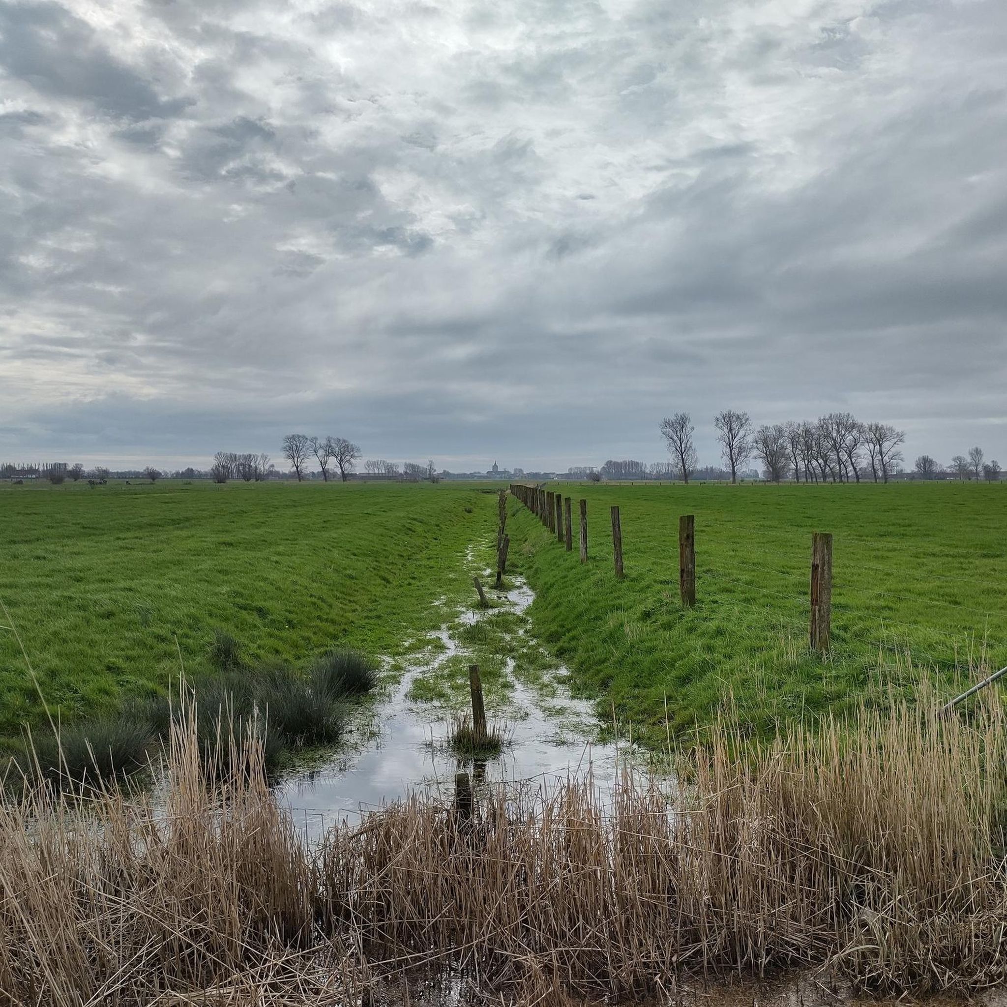
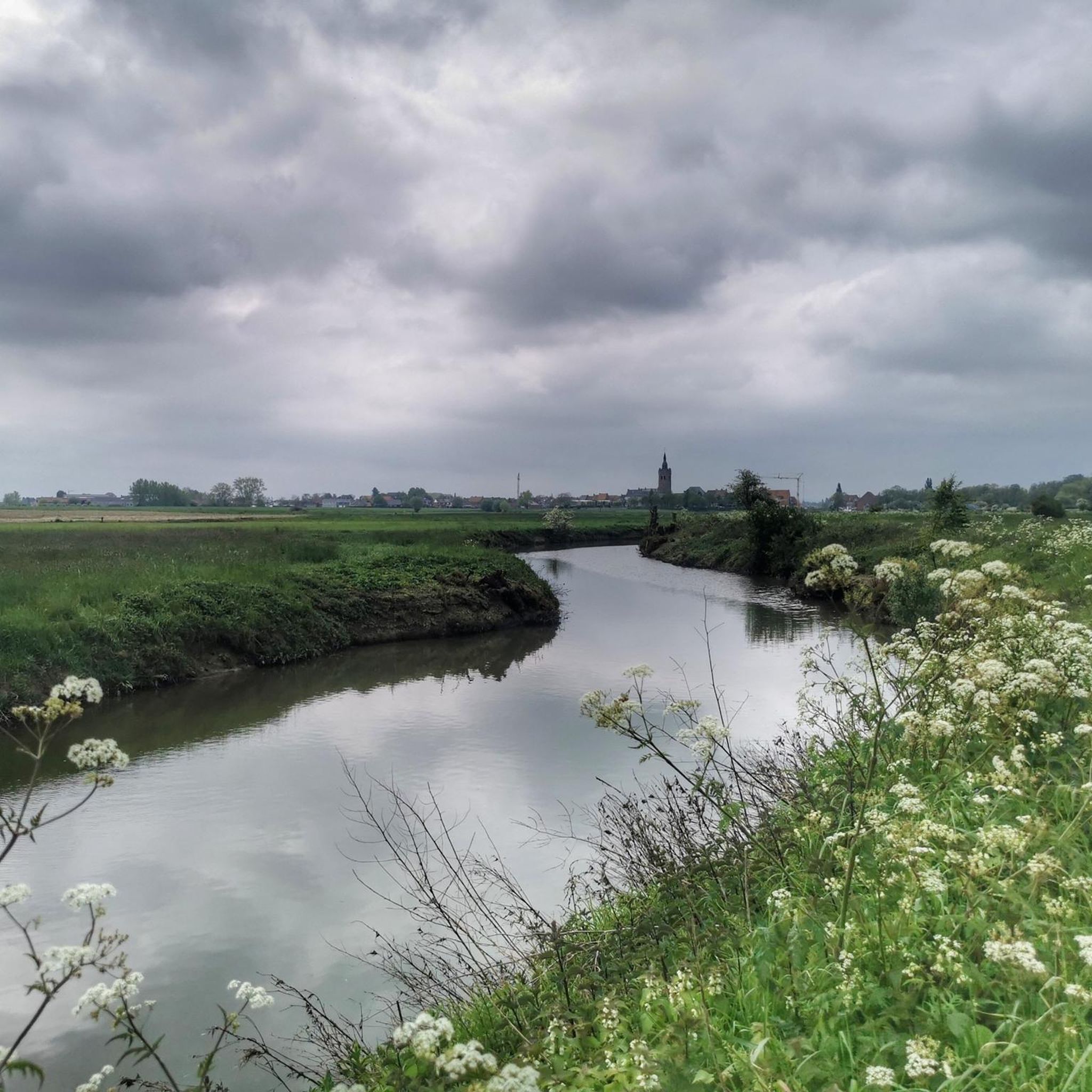
Best lakes around Alveringem are characterized by a serene rural landscape, featuring significant waterways rather than expansive natural lakes. The area includes the Yser river and the Lovaart canal, which offer recreational opportunities and support diverse ecosystems. These interconnected water bodies, along with numerous smaller ponds and pools, provide a rich aquatic environment for exploration. The region is ideal for those seeking tranquility and scenic beauty along its various water features.
Best lakes around Alveringem
- The most popular lakes is View from the Hoge Blekker, a viewpoint that offers views of the surrounding landscape, including distant water bodies. This location is the highest dune in the Flemish coastal region, standing at 33 meters.
- Another must-see spot is Viconia Clay Pits, a nature reserve with shallow clay pits. Visitors can explore hiking trails, a watchtower, and a bird hide within this 22-hectare area, which was created by clay extraction.
- Visitors also love Birdwatching hide at De Koolhofput, a hotspot for bird lovers located within the De Koolhofput nature reserve. This spot is accessible via the Frontzate cycle path and is an ideal place for hikers, nature lovers, and anglers.
- Alveringem is known for river-fed water bodies, historical ponds, and nature reserve lakes. The area offers a variety of water features to see and explore, from the Yser river to man-made pits and ponds.
- The lakes around Alveringem are appreciated by the komoot community, with more than 600 upvotes and over 180 photos shared.
Last updated: October 17, 2026
View from the Hoge Blekker
Highlight • Viewpoint
Translated by Google •
Tip by

Viconia Clay Pits
Highlight • Lake
The area was recognized as a nature reserve in 1981 and transferred to the Flemish Region in 1995. Due to a land consolidation in 2001, the area was expanded by 8 ha.
The Viconiapad runs through the area, along which there is also a bird hide that offers an overview of the lake.
Translated by Google •
Tip by

Sign up now to discover places like this
Get recommendations on the best single tracks, peaks, & plenty of other exciting outdoor places.
Birdwatching hide at De Koolhofput
Highlight • Structure
More information about this location: The De Koolhofput nature reserve is the ideal place for hikers, nature lovers, and anglers. This spot is accessible via the Frontzate cycle path between Nieuwpoort and Diksmuide.
The Frontzate is a former railway line that now serves as a walking and cycling route. Along the way, you'll encounter war relics.
Tip! Bring a picnic and enjoy the tranquility around you.
Translated by Google •
Tip by

Vatevijver Pond
Highlight • Lake
A vat was constructed to collect rainwater, usually in the immediate vicinity of the church. This was crucial in the construction of a polder village, an environment where there is a lot of brackish, unusable water. The vate was at the same time a drinking water well, watering place, water supply for washing and fire-fighting water supply. The Vatevijver was first mentioned in 1404.
In the past, women would go to the Vate pond to bleach their laundry. It was forbidden to wash wool or pour soapy water or other dirt into it. It was the inspectors who were responsible for the cleanliness of the vate water.
Translated by Google •
Tip by

Markey Ponds
Highlight • Lake
Originally, Markey Ponds were mines dug for the extraction of sand.
In 1999 they were purchased by the province of West Flanders and subsequently leased by the municipality of De Panne for a long-term leasehold of 99 years. This has their valuation carried out by January 2003.
A fountain was installed in the unprotected north pond in the summer of 2016.
In July 2017, excavations will take place in the ponds in search of weapons of the Nijvel gang that were allegedly thrown there.
The ponds are rich in fish, which can only be caught in the northern pond. Swans and ducks also live in the area.
The management plan of the Agency for Nature and Forests provides that the southern pond remains free of fishing activities in order to increase the population of great crested newts. The plan also provides for the improvement of the environment to allow the maintenance of dragonfly populations and aquatic plant biodiversity.
Translated by Google •
Tip by
Sign up for free to discover even more lakes around Alveringem.
Already have an account?
Start today with a free account
Your next adventure awaits.

Other adventures around Alveringem

Tips from the Community

Experience the Viconia Clay Pits. A walking loop introduces you to the ponds and the observation tower.
0
1

Welcome to De Hoge Blekker, with its 33 meters the highest dune in the entire Flemish coastal region. A striking appearance and an impressive eye-catcher. The dune used to be a fixed navigation point for sailors. From a distance they could see the white back as a kind of 'flash' ('bleach' is the local dialect for 'flash'). The Hoge Blekker is a drifting dune that has covered some distances over time. The dune now covers an area of approximately 33 hectares. Enough room for a picnic stop!
4
0

Beautiful semi-paved walking path that goes through De Doornpanne. Every season is colored differently here. With a bit of luck, donkeys or ponies will come to greet you.
9
0
At 33 meters above sea level, the Hoge Blekker, the dune that gave its name to the domain, is not only the highest dune (ridge) on our Flemish coast, but also a beautiful nature reserve, covering approximately 18 hectares. Blekker or Blinkaart is the common name for a bare dune hill that reflects sunlight (bleaching or shining). It was a permanent beacon for sailors who saw its white crown shining from afar ('bleaching' in the local dialect). At the origin of the Hoge Blekker and the adjacent dune massif are parabolic dunes that formed between the 16th and 19th centuries.
10
1

From the top of the Hoge Blekker you have a beautiful view of the lower dunes and landscapes, such as the Doornpanne. You will also find orientation tables that point you in which direction all kinds of places are. Those who are tired of the climb can rest on the benches.
13
0
From the top of the Hoge Blekker you have a beautiful view of the lower dunes and landscapes. You will also find orientation tables that point you in which direction all kinds of places are. Those who are tired of the climb can rest on the benches.
12
1
As soon as you walk a little higher, you have beautiful views.
14
0
And back through dune area, but that is not boring.
10
1
Frequently Asked Questions
What kind of 'lakes' can I expect to find around Alveringem?
Alveringem's landscape features a network of significant waterways like the Yser River and the Lovaart Canal, rather than large natural lakes. You'll discover serene rural settings with numerous smaller ponds, pools, and man-made water features such as the Viconia Clay Pits, which are former clay extraction sites now serving as nature reserves. These diverse water bodies offer recreational opportunities and support rich ecosystems.
Are there good spots for birdwatching near Alveringem's water features?
Yes, the region is excellent for birdwatching. The Birdwatching hide at De Koolhofput is a dedicated hotspot for bird lovers, accessible via the Frontzate cycle path. The Viconia Clay Pits nature reserve also features a bird hide and a new lookout tower, offering panoramic views over shallow lakes where various bird species can be spotted throughout the seasons.
What natural features are prominent in the Yser Valley?
The Yser Valley (IJzervallei) is characterized by an open landscape of meadows and hayfields, crisscrossed by numerous ditches, ponds, and pools. These smaller water bodies are vital habitats for various fish, amphibians, and rare aquatic plants. The valley is ideal for nature lovers, hikers, and cyclists seeking tranquility and scenic beauty.
Are there any historical water bodies in the Alveringem area?
Yes, the Vatevijver Pond in Lo is a notable historical water feature. First mentioned in 1404, it was originally constructed to collect rainwater and served as a crucial source of drinking water, a watering place, and a water supply for washing and firefighting in the polder village. It holds significant local heritage.
What outdoor activities can I do along the Yser River and Lovaart Canal?
The Yser River and Lovaart Canal offer extensive opportunities for outdoor activities. You can enjoy walking and cycling along their banks, with several marked routes available. The Yser is largely canalized but offers peaceful settings for activities like kayaking in certain stretches. The Lovaart Canal is particularly recognized for its cycling routes, providing flat and accessible paths through green surroundings. For more detailed routes, check out the hiking guide and road cycling guide for Alveringem.
Are there hiking trails suitable for different skill levels near Alveringem's water features?
Yes, there are various hiking trails available. For example, the 'Yser River – Kallebrug Over the Yser loop' is an easy 7.1 km hike, while the 'Winding Path Along the River – Malt and Brewery House De Snoek loop' offers a moderate 8.3 km experience. These routes allow you to explore the natural landscape along the Yser. You can find more options in the hiking guide for Alveringem.
Can I go cycling along the water in Alveringem?
Absolutely. Both the Yser River and the Lovaart Canal have excellent cycling routes along their banks. The Lovaart Canal, in particular, is known for its paved and accessible paths, perfect for leisurely rides. The Frontzate cycle path, a former railway line, also provides access to natural spots like the Birdwatching hide at De Koolhofput. Explore more cycling options in the road cycling guide for Alveringem.
Are there opportunities for fishing in the water bodies around Alveringem?
Yes, some water bodies offer fishing opportunities. The Markey Ponds are rich in fish, with fishing permitted in the northern pond. The De Koolhofput nature reserve, home to the Birdwatching hide at De Koolhofput, is also an ideal place for anglers. Always check local regulations for permits and specific fishing zones.
Are there family-friendly spots among Alveringem's water features?
Many of the water-related attractions in Alveringem are family-friendly. The Viconia Clay Pits offer hiking trails, a watchtower, and a bird hide that families can enjoy. The View from the Hoge Blekker, the highest dune in the Flemish coastal region, is also considered family-friendly and a great spot for a picnic. The flat paths along the Lovaart Canal are suitable for family walks and bike rides.
What is the best time to visit the water features around Alveringem?
The region's water features can be enjoyed throughout the year, but spring and autumn offer particularly pleasant conditions for walking and cycling, with milder temperatures and beautiful seasonal colors. Summer is great for longer days and outdoor activities, while winter can provide a tranquil, atmospheric experience, especially for birdwatching.
Where can I find scenic viewpoints that include water bodies?
The View from the Hoge Blekker, the highest dune in the Flemish coastal region, offers impressive panoramic views of the surrounding landscape, including distant water bodies. Additionally, the lookout tower at the Viconia Clay Pits provides a panoramic view over the shallow lakes within the nature reserve.
Are there any specific routes that highlight the water-rich environment?
Yes, the 'Brouckmolenroute' and 'Dode IJzerroute' are specific walking routes in the Yser Valley that emphasize the water-rich environment and border landscape. These routes offer excellent opportunities to spot birds and experience the local heritage along the river.
Most popular routes around Alveringem
Most popular attractions around Alveringem

Get inspired with the komoot mobile app


Explore more
Still not found your perfect lake around Alveringem? Check out the guides of these regions to see even more beautiful places.
