Top 5 Gorges around Montaverner
Best canyons around Montaverner are found within the riverine landscape of the Vall d'Albaida region, where the Clariano and Albaida rivers have carved narrow valleys and ravines. Montaverner, located in the province of Valencia, Spain, offers natural attractions with canyon-like characteristics. These areas provide opportunities for hiking routes Montaverner and exploring unique geological formations. The region is characterized by its river valleys and ravines, which present compelling natural beauty and historical interest.
Best canyons around Montaverner
- The most popular canyons…
Last updated: July 4, 2026
Trail along the Barranco de la Casa de Sanchis
Highlight (Segment) • Trail
Translated by Google •
Tip by

Barranco de Caturla
Highlight • Gorge
Translated by Google •
Tip by
Sign up now to discover places like this
Get recommendations on the best single tracks, peaks, & plenty of other exciting outdoor places.
Sign up for free
Pou de Francés and Barranco de Agulló
Highlight (Segment) • Gorge
Translated by Google •
Tip by

Barranc de Cairent Viewpoint
Highlight • Viewpoint
Translated by Google •
Tip by
Barranc de La Solana Trail
Highlight (Segment) • Trail
Translated by Google •
Tip by
Start today with a free account
Your next adventure awaits.
Login or Signup
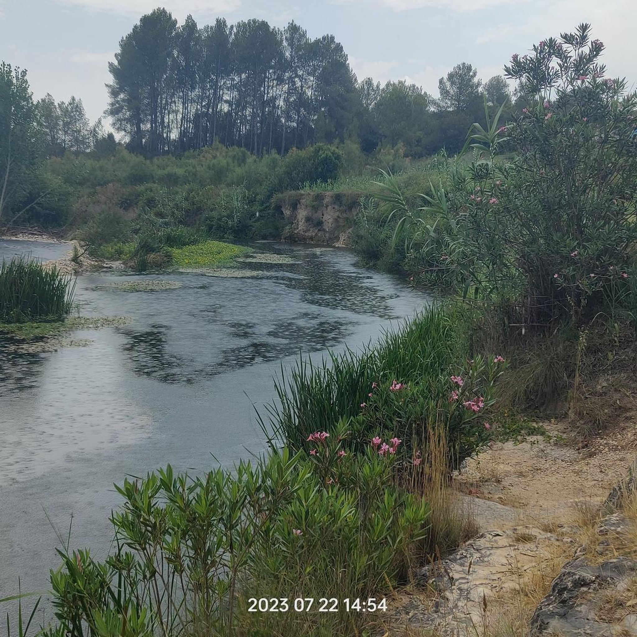
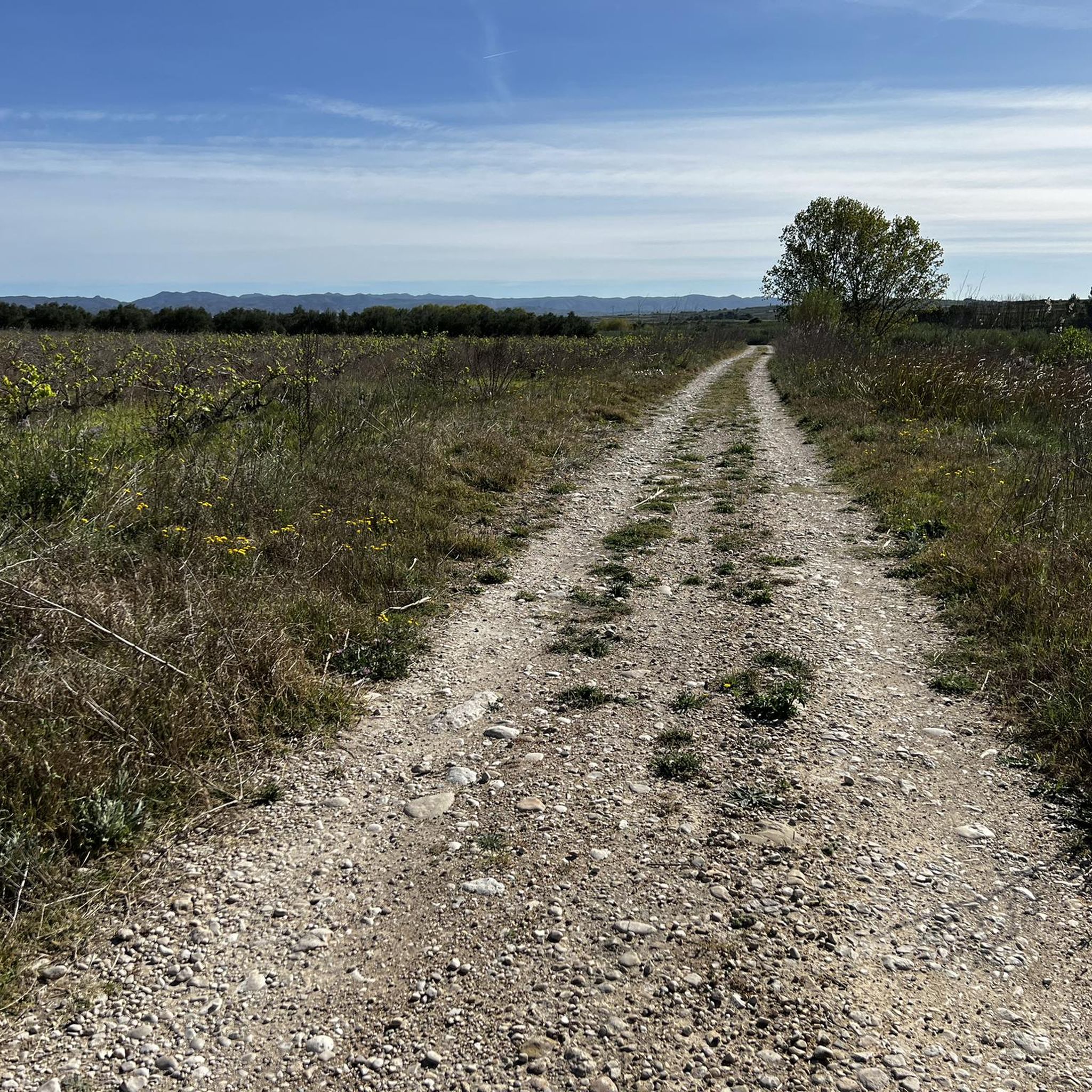
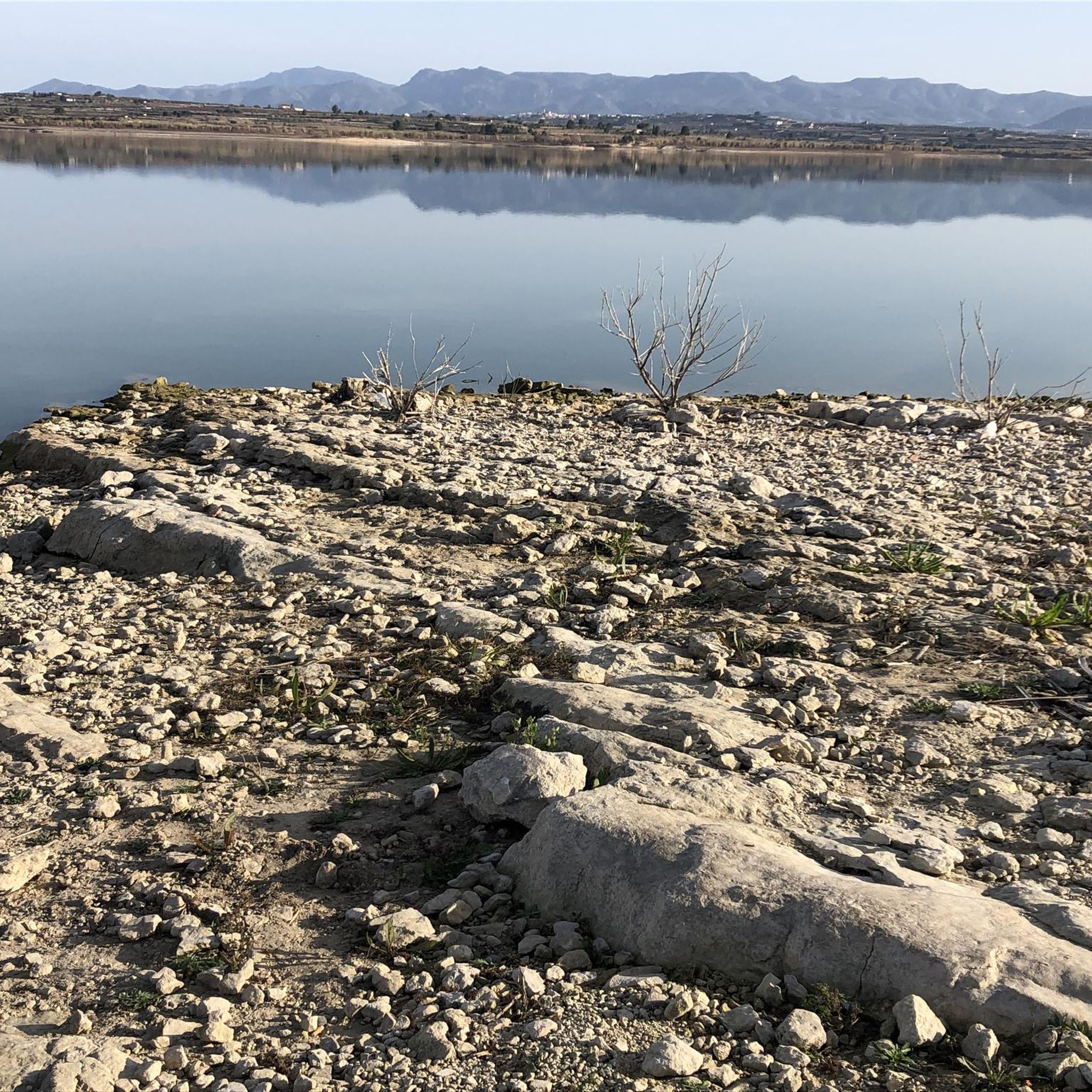
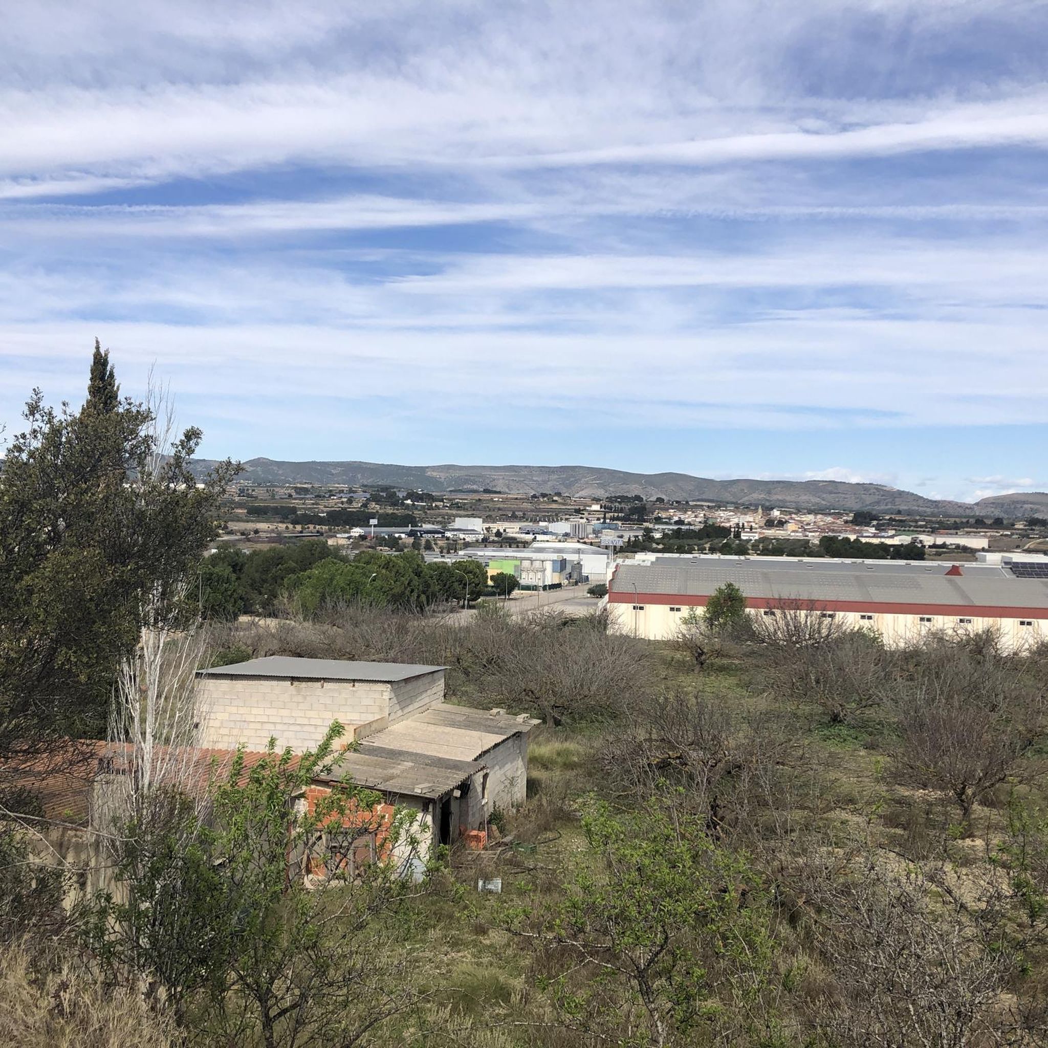

Tips from the Community

Nice ravine with good surface at the beginning, the last kilometer is quite complicated due to the stones and the inclination.
0
0

Very entertaining path that runs along the edge of the Ravine and does not present technical difficulty (easy - blue).
3
0
Nice path with very nice views of the castle of Xativa. From the N-340 route, the first meters are uphill with a very steep slope and then there are 200m impassable due to the fall of many pine trees (January 2022) that I hope they can remove soon. After this section, the path is clean and very entertaining, passing through the Barranco de la Font Voltada until reaching the town of Bixquert.
1
0
Very picturesque ravine which is accessed by paths or secondary path both on foot and by mtb.
1
0
Site with incredible views of the Cairent ravine. You have to be very careful to get there with mtb since it is a path that is very narrow in sections and with a loose rock surface becoming somewhat technical.
1
0
Frequently Asked Questions
What kind of canyons can I expect to find around Montaverner?
Around Montaverner, you'll discover river-carved gorges and ravines, particularly in the Vall d'Albaida region where the Clariano and Albaida rivers have shaped the landscape. While Montaverner itself features trails along ravines like the Barranco de la Casa de Sanchis and Barranco de Caturla, the nearby Sierra de Mariola Natural Park offers more dramatic geological formations, including deep gorges and unique rock structures.
Are there any notable geological formations or natural features to explore in the canyons near Montaverner?
Yes, the Sierra de Mariola Natural Park, located a short distance from Montaverner, is rich in geological interest. You can explore the impressive **Barranco del Cint**, a deep gorge with sharp rockfaces. Other unique formations include **Els Taulellets**, large table-shaped rocks, and the intriguing **Cova de les Finestres (Windows Cave)**, artificial caves carved into a cliff in the Barranc del Pont Trencat.
What are some popular trails that explore the canyons directly around Montaverner?
Visitors frequently enjoy the Trail along the Barranco de la Casa de Sanchis, which is an entertaining path running along the ravine's edge without technical difficulty. Another popular spot is Barranco de Caturla, a picturesque gorge accessible by walking or mountain biking paths. The area around Pou de Francés and Barranco de Agulló also offers a notable natural setting for exploration.
Are there any viewpoints offering scenic views of the canyons?
Absolutely. The Barranc de Cairent Viewpoint provides incredible views of the Cairent ravine. Be aware that the path to get there can be narrow and technical in sections, especially if you're on a mountain bike.
Are there family-friendly canyon trails near Montaverner?
Yes, the Trail along the Barranco de la Casa de Sanchis is considered easy and family-friendly, making it a good option for those looking for a less challenging experience along a ravine.
What kind of hiking difficulty can I expect on trails through the canyons?
The difficulty varies. Trails like the Barranco de la Casa de Sanchis are easy. However, some areas, such as the last kilometer of Pou de Francés and Barranco de Agulló, can be quite complicated due to stones and inclination. The Barranc de La Solana Trail is intermediate, with some challenging uphill sections and potential obstacles like fallen trees.
Can I go canyoning (barranquismo) near Montaverner?
While the immediate Montaverner area focuses more on hiking and exploring ravines, the broader Valencia and Alicante regions offer barranquismo opportunities with rappelling, jumping, and natural waterslides. The Sierra de Mariola Natural Park, with its aggressive terrain and complex geological structures, provides the kind of environment where such activities could be found, though specific canyoning routes would require local expert guidance.
What other outdoor activities can I do near the canyons around Montaverner?
Beyond exploring the canyons, the Montaverner region offers a variety of outdoor activities. You can find numerous MTB trails, running trails, and cycling routes that traverse the diverse landscapes, including routes that pass through river valleys and offer scenic views.
What is the best season to visit the canyons around Montaverner?
The best season to visit is typically spring or autumn. During these times, the weather is milder, making hiking and exploration more comfortable. Summers can be very hot, and while winter offers a different perspective, some paths might be affected by rain or cooler temperatures, especially in the more rugged areas of Sierra de Mariola.
What kind of wildlife might I encounter in the canyons around Montaverner?
The Sierra de Mariola Natural Park, which features prominent canyons, is known for its diverse landscape and rich biodiversity. You might encounter various bird species, small mammals, and a wide array of medicinal and aromatic plants that thrive in the park's unique ecosystem.
Are there any hidden gem canyons or less-known spots worth exploring?
While the Barranco del Cint in Sierra de Mariola is well-regarded, exploring the numerous smaller barrancos (ravines) that crisscross the region, particularly within the Sierra de Mariola Natural Park, can lead to discovering less-frequented paths and unique natural beauty away from the main trails. These areas often showcase the complex geological structures and karstic processes of the region.
Most popular routes around Montaverner
Most popular attractions around Montaverner

Get inspired with the komoot mobile app


Explore more
Already discovered everything in this region? See additional gorges around Montaverner for your next adventure:
