Top 4 Gorges around Tall Timber
Best canyons around Tall Timber are characterized by dramatic granite cliffs and scenic waterways, offering diverse outdoor activities. This census-designated place in Boulder County, Colorado, provides direct access to impressive gorges like Boulder Canyon. The area features a mix of terrain, from accessible paths along creeks to challenging hiking trails with significant elevation gains. Its proximity to Boulder makes it a hub for outdoor enthusiasts seeking natural beauty.
Best canyons around Tall Timber
- The most popular canyons is Lefthand Canyon…
Last updated: June 28, 2026
Lefthand Canyon (from Lee Hill Drive to Ward)
Highlight (Segment) • Trail
Tip by

Continental Divide Overlook
Highlight • Viewpoint
Tip by

Sign up now to discover places like this
Get recommendations on the best single tracks, peaks, & plenty of other exciting outdoor places.
Sign up for free
Eldorado Canyon
Highlight • Canyon
Tip by

Boulder Canyon Drive
Highlight (Segment) • Climb
Tip by
Start today with a free account
Your next adventure awaits.
Login or Signup
Tips from the Community

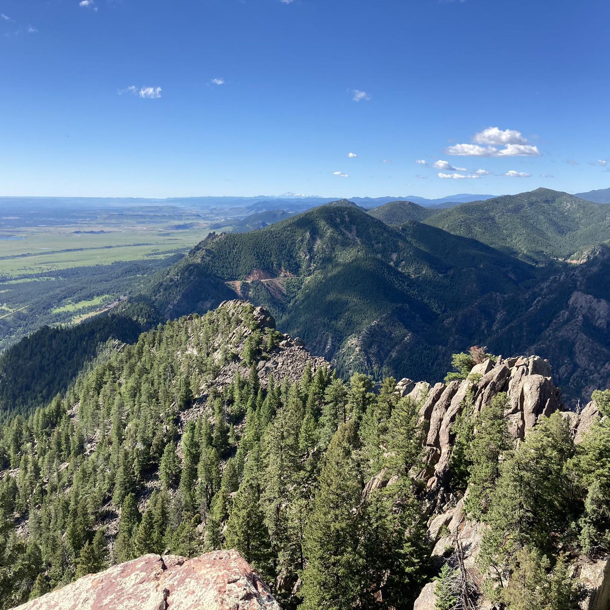
The Rattlesnake Gulch Trail dead ends at this overlook situated over South Boulder Creek and Eldorado Springs and overlooking South Boulder Peak. There are a few different overlooks on the Rattlesnake Gulch Trail.
0
0

There is a steep nontechnical ascent here near the falls. If you hit this trail heading southwest you will have generally steeper uphills and more rolling descents.
0
0

After transitioning from the bike path (if you choose to do the initial section of Boulder Canyon Drive on it) the road steadily steepens as you climb up toward Nederland. Please watch out for rocks in the road, cars, and wildlife. Although this is a poplar cycling route, there are lots of cars and frequently no shoulder so be aware of your surroundings when climbing or descending.
0
0
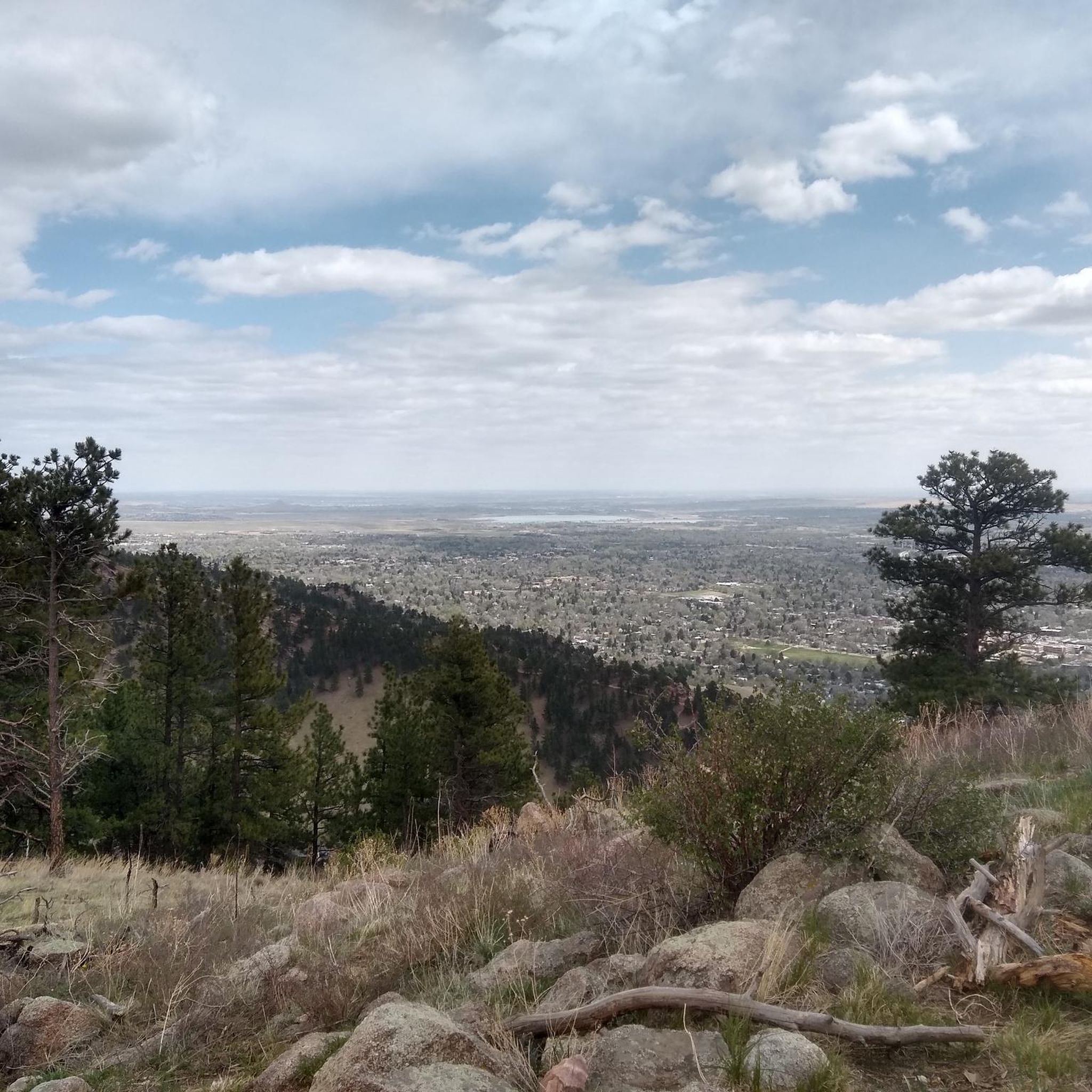
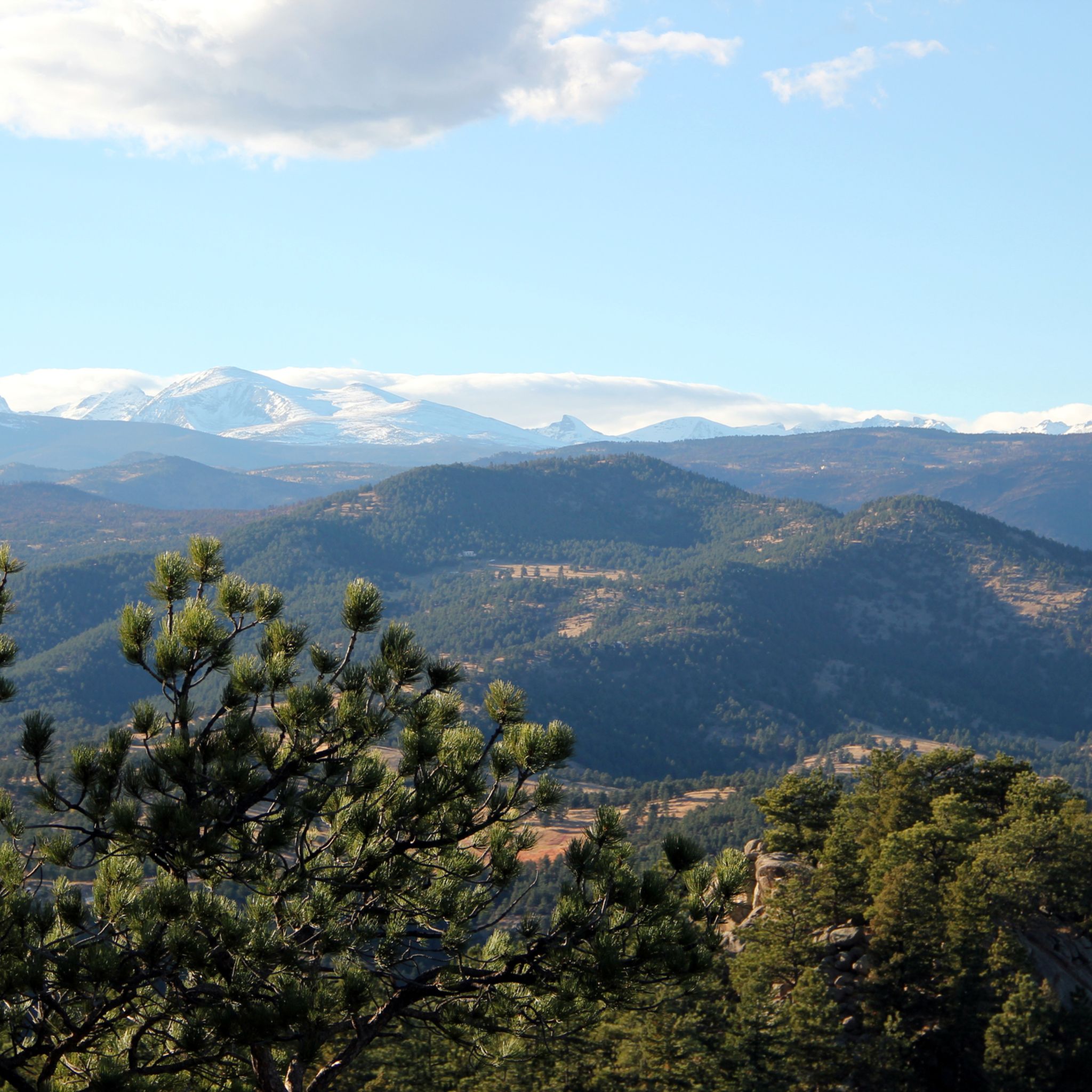
This section of the popular Lefthand Canyon is a long, but scenic climb with increasingly good views of the often-snowcapped Indian Peaks the closer you get to Ward. Ward is a tiny mountain town just off the Peak to Peak highway with a cyclist-friendly general store. This section is also super, super fun to fly down, but be aware deer in the road and cars.
1
0
The Rattlesnake Gulch Trail dead ends at this overlook situated over South Boulder Creek and Eldorado Springs and overlooking South Boulder Peak. There are a few different overlooks on the Rattlesnake Gulch Trail.
0
0

Eldorado Canyon State Park offers technical climbing, walks along wild rivers and panoramic views, in a beautiful canyon.
1
0

the first part of boulder canyon is actually pretty mellow but around d the halfway mark it starts to steepen and I just didn't have the steam to make it any further. one of these days I will make it all the way up!
0
1

After miles and miles of climbing you're awarded for this long 14 miles downhill ride! Watch out for traffic and wildlife though!
1
0
Frequently Asked Questions
What makes the canyons around Tall Timber unique?
The canyons around Tall Timber, particularly Boulder Canyon, are known for their dramatic granite cliffs, some rising over 100 meters (328 feet), and the picturesque Boulder Creek flowing through them. This area offers a diverse mix of terrain, from accessible paths to challenging trails, all just minutes from downtown Boulder.
What outdoor activities can I do in the canyons near Tall Timber?
The canyons are a hub for outdoor enthusiasts. You can enjoy hiking, rock climbing on over 300 established routes, and cycling along scenic paths. Scenic drives, such as Boulder Canyon Drive, also offer numerous pullouts to enjoy the views.
Are there specific hiking trails recommended in the canyons?
Yes, trails like the Boulder Creek Path offer an easy, accessible route along the creek. For more moderate hikes with canyon views, consider the Chapman Drive Trail. More challenging treks can be found leading to panoramic views, such as those near Sugarloaf Mountain. For more hiking options, explore Hiking around Tall Timber.
What are some notable natural features or viewpoints in the area?
Beyond the towering granite cliffs and Boulder Creek, a must-see spot is the Continental Divide Overlook. Situated over South Boulder Creek and Eldorado Springs, it offers views of South Boulder Peak along the Rattlesnake Gulch Trail.
When is the best time to visit the canyons around Tall Timber?
Each season offers a unique experience. Summer is ideal for hiking and climbing. Fall brings spectacular colors as aspen trees turn golden, contrasting beautifully with the red canyon walls. In cooler months, south-facing slopes remain popular for climbing, soaking up the Colorado sun.
How accessible are the canyons from Tall Timber?
The canyons are highly accessible. Located just minutes from downtown Boulder, you can reach them easily by car, with Tall Timber's Sugarloaf Road connecting directly to State Highway 119 (Boulder Canyon Drive). Public transportation via the RTD bus service also serves the area.
Are there family-friendly options for exploring the canyons?
While specific family-friendly designations aren't listed for all trails, accessible routes like the Boulder Creek Path are suitable for families. The scenic drives also provide an easy way to experience the canyon's beauty with children.
What kind of cycling opportunities are available in the canyons?
The Boulder Creek Path is excellent for cyclists seeking a scenic ride through the canyon. For more challenging climbs and views, routes incorporating Fourmile and Sunshine Canyons are available. You can find more options in Road Cycling Routes around Tall Timber.
What is Lefthand Canyon like?
Lefthand Canyon (from Lee Hill Drive to Ward) offers a long, scenic climb with increasingly good views of the Indian Peaks as you approach Ward. It's also known for a fun downhill ride, though cyclists should be aware of deer and cars.
What can I expect at Eldorado Canyon?
Eldorado Canyon offers walks along wild rivers and panoramic views. It's renowned for its technical climbing opportunities and features a steep nontechnical ascent near its waterfalls.
What wildlife might I encounter in the canyons?
When exploring the canyons, especially on roads and trails, it's common to encounter wildlife such as deer. Always be aware of your surroundings, particularly when cycling or driving.
Are there any challenging cycling routes through the canyons?
Yes, Boulder Canyon Drive itself offers a challenging climb, steadily steepening as you head toward Nederland. It's a popular cycling route, but riders should be mindful of rocks, cars, and wildlife, as shoulders can be narrow.
Most popular attractions around Tall Timber

Get inspired with the komoot mobile app


Explore more
Already discovered everything in this region? See additional gorges around Tall Timber for your next adventure:
