The best waterfall hikes and walks around Lac de l'Oule
4.6
(1275)
15,010
hikers
2
hikes
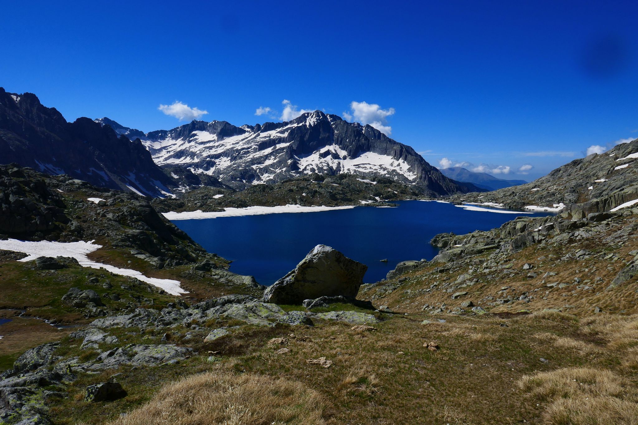
Waterfall hiking trails around Lac de l'Oule are situated in the French Pyrenees, within the protected Néouvielle Nature Reserve. The region features a high-mountain environment characterized by dramatic terrain, including Scots pine forests, mountain pastures, and glacial lakes. Hikers can expect expansive views of the Neste de Couplan Valley and surrounding peaks.
Best waterfall hiking trails around Lac de l'Oule
- The most popular waterfall hiking route is Route to Lac d'Orédon – Lac de l'Oule loop from Aragnouet, a…
Last updated: July 12, 2026
5.0
(1)
22
hikers
17.4km
05:41
630m
630m
Hard hike. Very good fitness required. Mostly accessible paths. Sure-footedness required.
3.0
(3)
17
hikers
22.5km
07:54
1,080m
1,080m
Hard hike. Very good fitness required. Mostly accessible paths. Sure-footedness required.

Sign up for free
5.0
(1)
14
hikers
25.6km
11:15
1,790m
1,790m
Hard hike. Very good fitness required. Sure-footedness, sturdy shoes and alpine experience required.
Our route recommendations are based on thousands of hikes, rides, and runs completed by other people on komoot.
Start today with a free account
Your next adventure awaits.
Login or Signup
Popular around Lac de l'Oule
Other adventures around Lac de l'Oule

Tips from the Community

magnificent valley with breathtaking view of the Pic du Midi
0
0


mythical and EPIC port of the Pyrenees. It is the highest 2115mts
2
0

It is better to climb the Col d'Estoudou than to descend. The path is riddled with roots and stones, relatively steep, but nowhere exposed
0
0

A very nice hike to do. Bring good walking shoes and think about leaving early. Your arrival at the refuge will be the best place for a snack break and to regain your strength before starting the return descent.
0
0

Located a few steps from the dam of the lake of the same name, the refuge overlooks the valley. Comfortable and bucolic, it welcomes visitors all year round. More information here: https://refugedeloule.fr/.
1
0
The Col du Tourmalet is one of the most legendary in the Pyrenees and the Tour de France. It is the pass that has been used most often in the history of the Tour since its first time in 1910. Culminating at 2,115 meters above sea level, it is also one of the highest. It is reached from Luz-Saint-Sauveur via 19 kilometers at 7.4% or from Sainte-Marie-de-Campan over 17.2 kilometers at 7.37% on average.
11
2
Lake Gréziolles is a superb high-altitude lake perched at an altitude of 2,113 meters. Raised by a dam, it is home to many species of fish including brown trout.
0
0
Frequently Asked Questions
How many waterfall hiking trails are available around Lac de l'Oule?
There are a few dedicated waterfall hiking trails around Lac de l'Oule, with two specifically highlighted as difficult routes. These trails offer challenging experiences through the high-mountain environment of the Néouvielle Nature Reserve.
What is the typical difficulty level of waterfall hikes in this region?
The featured waterfall hiking trails around Lac de l'Oule are generally considered difficult. They often involve significant elevation gain and traverse varied, challenging high-altitude terrain, making them suitable for hikers with good fitness levels. For example, the Route to Lac d'Orédon – Lac de l'Oule loop from Aragnouet is a difficult 17.1 km trail.
Are there any family-friendly waterfall hikes near Lac de l'Oule?
While the featured waterfall trails are generally difficult, the broader Lac de l'Oule area offers a range of hiking opportunities. For families, it's recommended to look for shorter, less strenuous paths around the lake itself, which provide beautiful views without the intense elevation of the dedicated waterfall routes. Always check specific route details for suitability.
Can I bring my dog on the waterfall hiking trails in the Néouvielle Nature Reserve?
The Néouvielle Nature Reserve has specific regulations regarding dogs to protect its rich biodiversity. Generally, dogs are not permitted on trails within the core protected areas, even on a leash. It's crucial to check the most current regulations from the park authority before planning your hike with a dog.
What is the best time of year to experience the waterfalls around Lac de l'Oule?
The best time to visit for waterfall hikes is typically from late spring to early autumn (June to September). During this period, snowmelt contributes to fuller waterfalls, and the weather conditions are generally more favorable for hiking. Autumn also offers stunning foliage, though some higher trails might see early snow.
Are there any circular waterfall walks in the area?
Yes, some routes offer circular options that incorporate waterfall views. For instance, the Col d'Estoudou – Lake Orédon loop from Aragnouet is a difficult 22.5 km circular path that provides extensive views and traverses high-altitude terrain where you might encounter cascades.
What facilities are available near the waterfall hiking trails?
Near Lac de l'Oule, the Refuge de l'Oule provides a convenient stop for hikers. You can enjoy a coffee, have lunch on its terrace, or even arrange an overnight stay. This refuge is a great spot to rest and refuel before or after your waterfall adventures.
How do I get to the starting points of these waterfall hikes, particularly regarding parking and public transport?
Access to the Lac de l'Oule area, including starting points like Artigusse parking, is generally by car. Parking facilities are available, though they can fill up quickly during peak season. Public transport options to this high-mountain region are limited, especially outside of summer. It's advisable to plan your journey in advance and check for any seasonal bus services if you're not driving.
What kind of terrain can I expect on the waterfall hikes around Lac de l'Oule?
The terrain around Lac de l'Oule is diverse and dramatic. Hikers will encounter Scots pine forests, lush mountain pastures, and rocky high-mountain paths. The routes often feature significant elevation changes, leading through glacial valleys and offering expansive views of peaks like Pic de Bastan and Pic des Quatre Termes.
What do other hikers enjoy most about the waterfall trails in Lac de l'Oule?
The area is highly rated by the komoot community, with an average score of 4.6 stars from over 1,100 reviews. Hikers often praise the stunning high-mountain landscapes, the challenge of the trails, and the rewarding views of glacial lakes and dramatic valleys. The sense of immersion in the protected Néouvielle Nature Reserve is also a frequently mentioned highlight.
Are there any specific landmarks or natural features to look out for on these trails?
Beyond the waterfalls themselves, the trails offer views of impressive peaks such as Pic de Bastan and Pic des Quatre Termes. You'll also traverse serene glacial lakes and dense Scots pine forests. The artificial Lac de l'Oule itself, with its reflective waters, is a central feature, and the Refuge de l'Oule provides a notable stopping point.
Is it possible to hike to the Col du Tourmalet from Lac de l'Oule to see waterfalls?
While the Col du Tourmalet is a significant landmark in the Pyrenees, the Col du Tourmalet – Laquets Reservoir loop from La Séoube is a challenging 23.8 km trail that leads through mountainous terrain with substantial ascents. This route offers a different perspective of the region and may include various cascades and water features along its extensive path.
Most popular routes around Lac de l'Oule

Get inspired with the komoot mobile app


Explore more
Browse the best Hikes in other regions.
