The 3 Most Amazing Peaks around Langenwolschendorf
Best mountain peaks around Langenwolschendorf are characterized by rolling hills and extensive forests, offering elevated points rather than dramatic alpine summits. The region provides picturesque views and opportunities for hiking. Notable elevated features like the Schöne Höhe offer panoramic vistas from the ridges of the slate mountains. This area is ideal for exploring diverse natural landscapes and enjoying leisurely walks.
Best mountain peaks around Langenwolschendorf
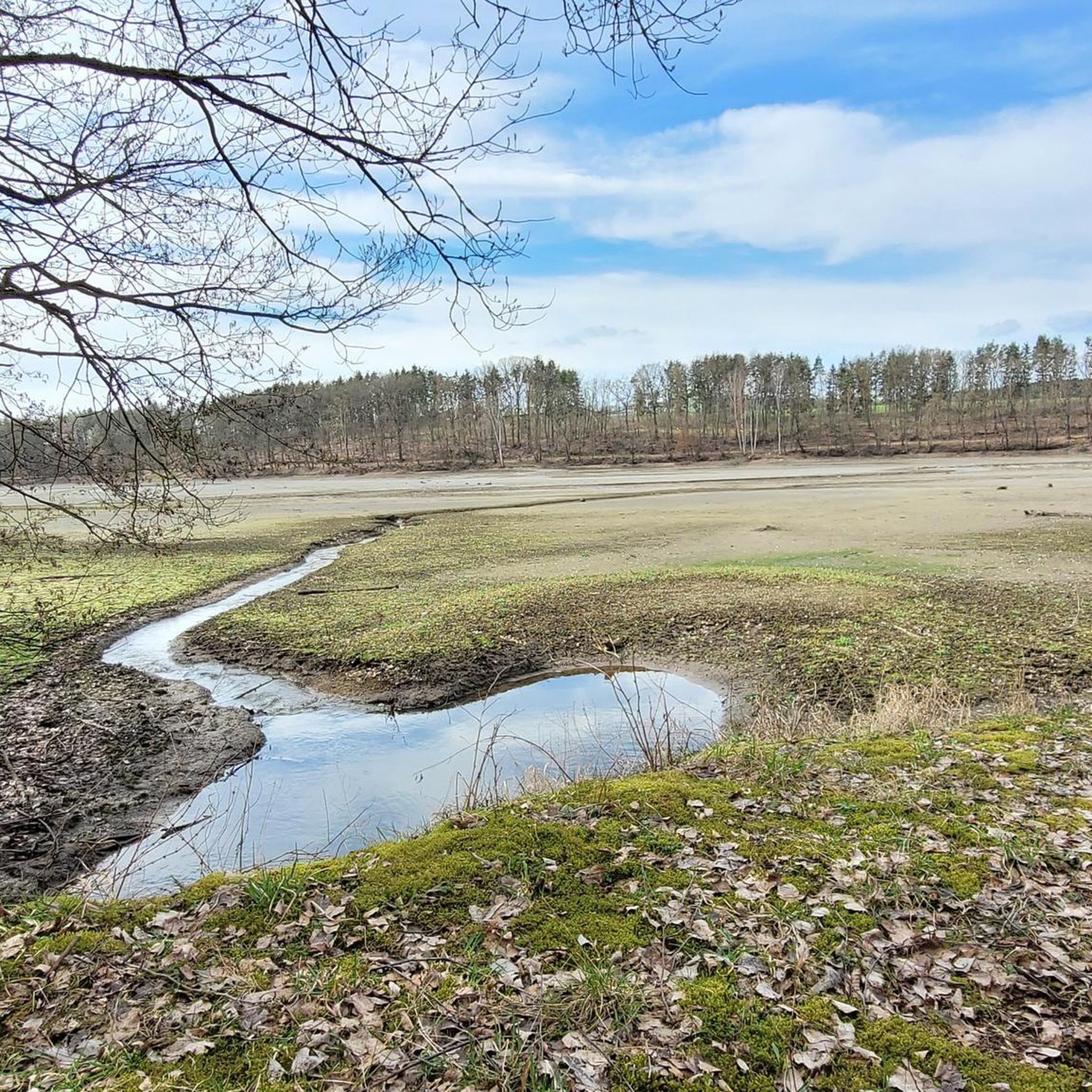
- The most popular mountain peaks is View from Teufelsberg of the Zeulenroda Reservoir, a viewpoint that offers a beautiful view of the Zeulenroda Reservoir. It is appreciated as a resting place along the dam path.
- Another must-see spot is Königsberg Summit Rest Area and Summit Book, a summit with a dedicated rest area. This location provides a view of Lössau and features a summit book for visitors.
- Visitors also love View from Sandberg, a viewpoint offering a wonderful view. This spot is suitable for Sunday excursions through the Thuringian Vogtland.
- Langenwolschendorf is known for its viewpoints, summits, and man-made monuments. The area offers a variety of elevated points to see and explore, often providing panoramic views of the surrounding landscape.
- The mountain peaks around Langenwolschendorf are appreciated by the komoot community, with 16 upvotes and 44 photos shared.
Last updated: July 9, 2026
Sandberg Triangulation Pillar
Highlight • Monument
The triangulation network (triangle network) of the Kingdom of Saxony represented the most accurate Central European land survey for its time. The inscription on the column reads:
Station Sandberg of the Royal Saxons. Triangulation 1876
The pillar marks the altitude reference point 543.4 m above sea level and was also used as a signal point during maneuvers by the imperial general staff. Signals were transmitted to other stations using large special mirrors.
Around the years 1962/1963 the TECHNICAL MONUMENT was negligently destroyed. Four of the original five fragments were secured in 1994 and on June 20, 1998 the restored column and the explanation board were handed over to the public again.
de.m.wikipedia.org/wiki/K%C3%B6niglich-S%C3%A4chsische_Triangulirung
Translated by Google •
Tip by

View from Teufelsberg of the Zeulenroda Reservoir
Highlight • Viewpoint
Translated by Google •
Tip by

Sign up now to discover places like this
Get recommendations on the best single tracks, peaks, & plenty of other exciting outdoor places.
Sign up for free
Königsberg Summit Rest Area and Summit Book
Highlight • Summit
Translated by Google •
Tip by

View from Sandberg
Highlight • Viewpoint
Translated by Google •
Tip by

View of Sandberg
Highlight • Viewpoint
At the summit, the view is limited by the forest.
Translated by Google •
Tip by

Start today with a free account
Your next adventure awaits.
Login or Signup
Tips from the Community

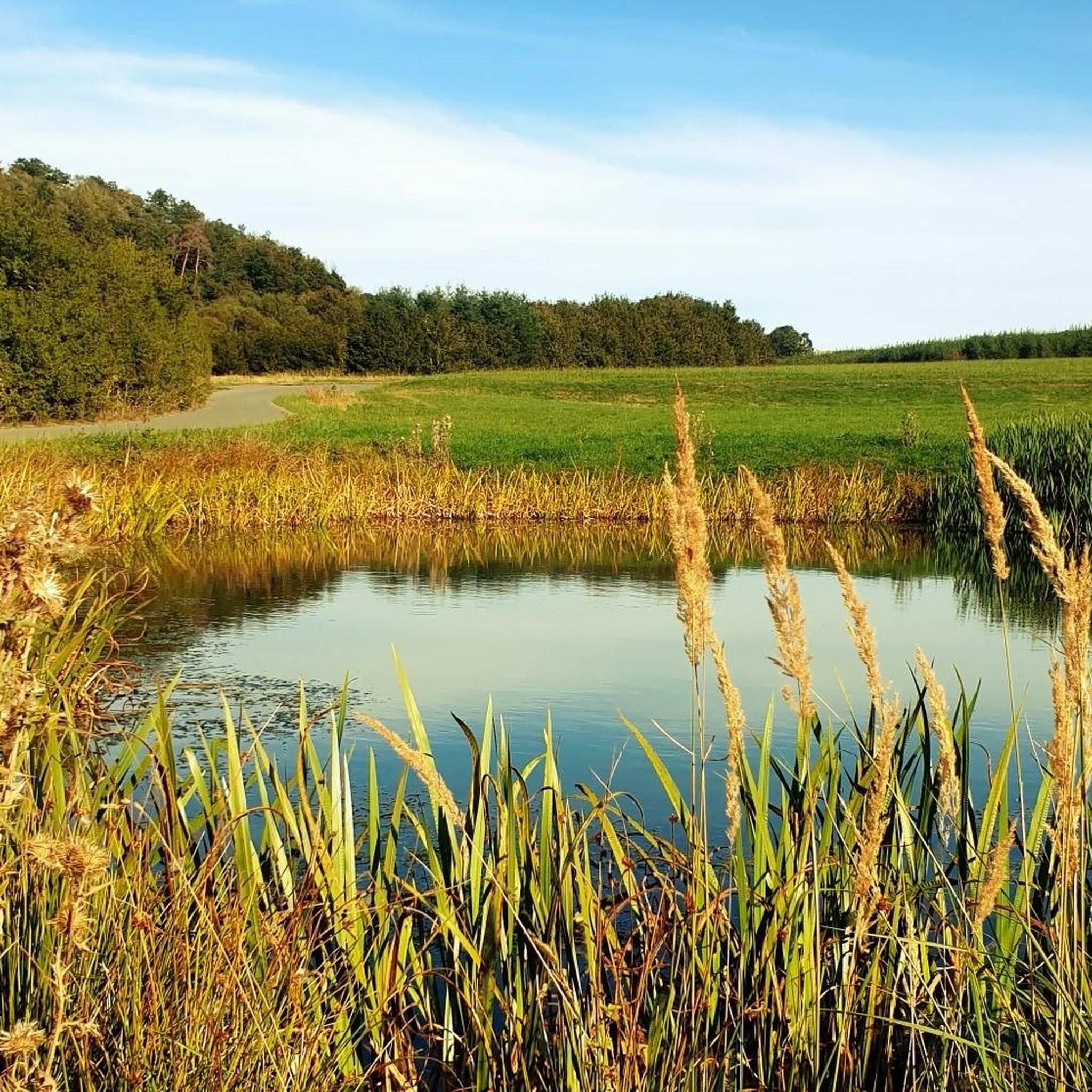
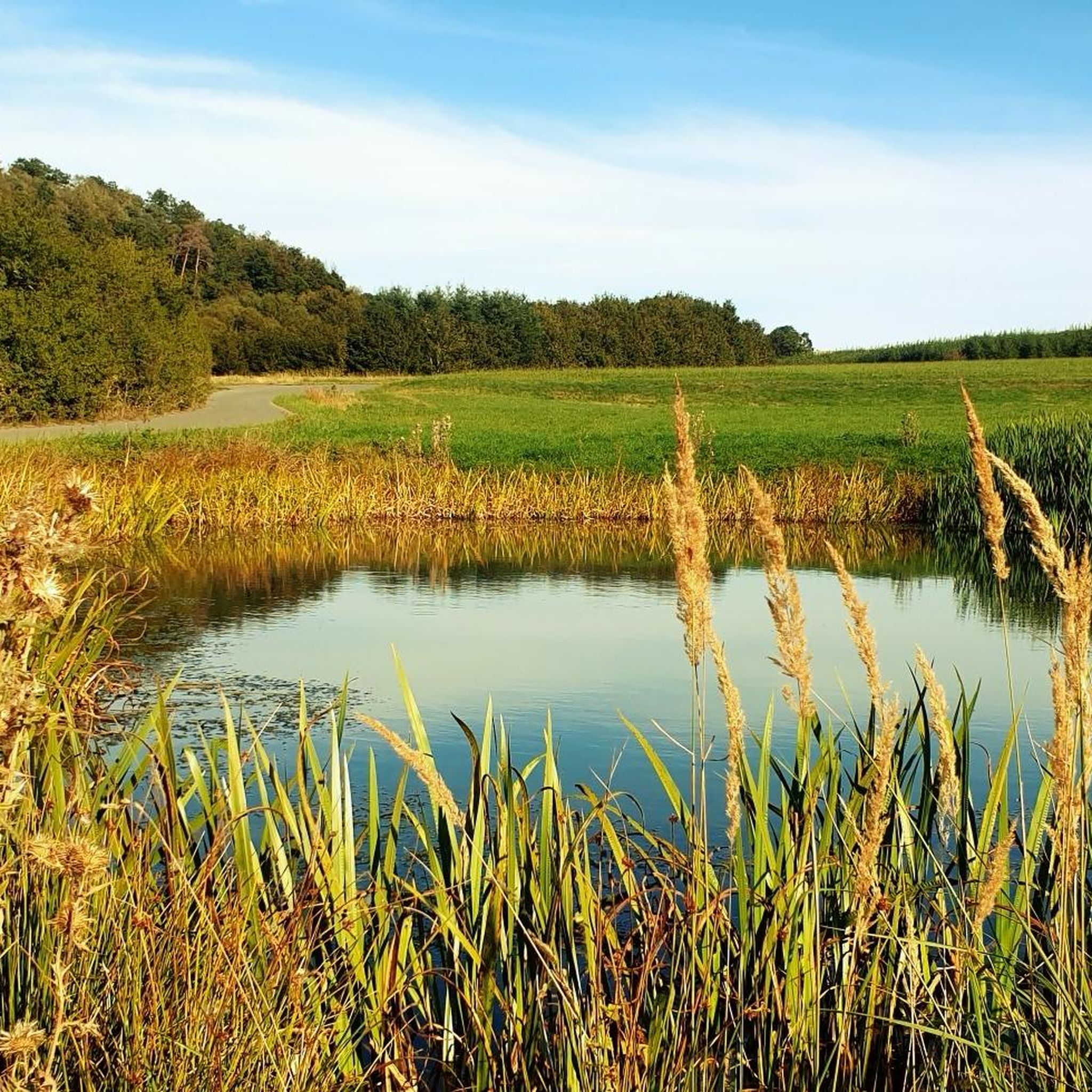
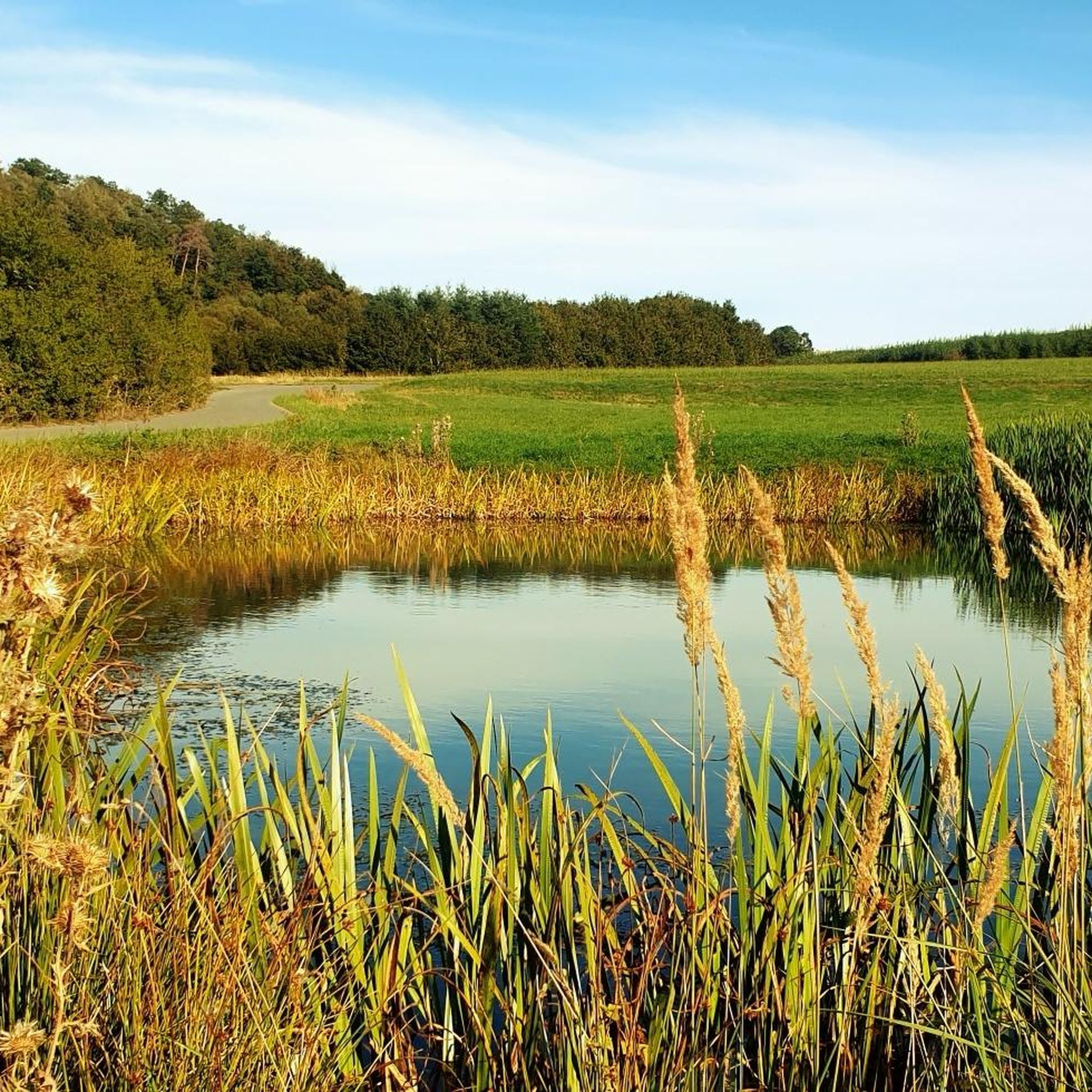
Idyllic place to rest, the view lets your eyes wander further.
0
0

From here you have a great view of Lössau.
0
0

Take your time and drive a few meters further from the summit with the triangulation column to the edge of the forest. Here, you'll find a grassy patch with a wonderful view and plenty of peace and quiet ☺️
0
0
A wonderful view is offered here near Sandberg. At the summit, the view is limited by the forest.
0
0

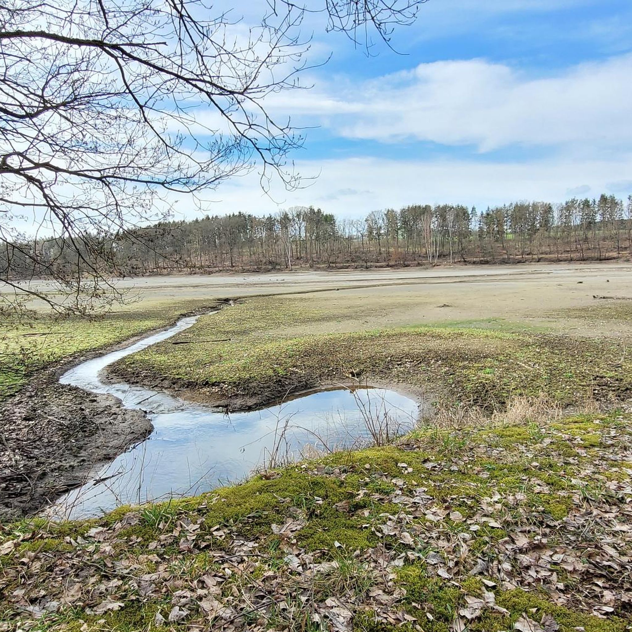
From here you have a good view of the Zeulenroda dam.
0
0

Since February there has also been a summit book on Teufelsberg.
2
0

A great view
0
0

There are all kinds of beautiful places to discover around the Zeulenrodaer Meer... Here we were completely surprised by the great view
1
0
Frequently Asked Questions
What are the most notable elevated points or viewpoints around Langenwolschendorf?
While Langenwolschendorf is known for rolling hills rather than towering peaks, several elevated points offer excellent views. The View from Teufelsberg of the Zeulenroda Reservoir is highly rated for its beautiful vista. Another significant spot is the Königsberg Summit Rest Area and Summit Book, which provides a great view of Lössau. The "Schöne Höhe" is also a prominent elevated feature in the region, known for its panoramic views from the ridges of the slate mountains.
Which viewpoints offer the best panoramic views of the region?
For expansive views, the View from Teufelsberg of the Zeulenroda Reservoir is a top choice, offering a stunning perspective of the lake. The "Schöne Höhe" provides scenic overlooks across diverse landscapes of forests and open areas. Additionally, a hike to the Kuhberg near Langengrobsdorf offers panoramic views of the entire Vogtland region.
Are there family-friendly elevated points or trails suitable for children?
Yes, several spots are suitable for families. The View from Sandberg is considered family-friendly, offering a wonderful view from a grassy patch near the forest edge. For specific family-friendly routes, you can explore the Family-friendly hikes around Langenwolschendorf guide, which includes easy loops like the 3.5 km "Schöne Höhe Pavilion – Schöne Höhe Observation Tower loop".
Are there any historical landmarks on these elevated points?
Yes, the Sandberg Triangulation Pillar is a significant historical landmark. This column, built in 1876, marks an altitude reference point and was part of the Royal Saxon Triangulation network, representing an accurate Central European land survey of its time. It was restored and re-erected in 1998.
What kind of hiking trails can I find around Langenwolschendorf's elevated points?
The region offers a variety of hiking trails, from leisurely walks to moderate routes. Trails around the "Schöne Höhe" are popular, including a 3.5 km circular path to the "Aussichtspunkt Schöne Höhe" and a 5.6 km route exploring local hills and forests. The landscape is characterized by rolling hills and extensive forests, providing diverse outdoor experiences. You can find more options in the Family-friendly hikes around Langenwolschendorf and Dog-friendly hikes around Langenwolschendorf guides.
Can I bring my dog on trails around these elevated points?
Yes, many trails in the area are dog-friendly. The Dog-friendly hikes around Langenwolschendorf guide features several routes, such as the 5.6 km "Schöne Höhe Observation Tower – Schöne Höhe Observation Tower loop," which are suitable for you and your canine companion.
What other outdoor activities are available near these elevated points?
Beyond hiking, the region around Langenwolschendorf offers opportunities for road cycling. The proximity to the Zeulenrodaer Meer (Zeulenroda Lake) and the Pöllwitzer Wald (Pöllwitz Forest) means there are numerous trails through picturesque natural settings. For cycling enthusiasts, the Road Cycling Routes around Langenwolschendorf guide provides various options.
What is the best time of year to visit Langenwolschendorf for hiking and views?
The region's rolling hills and forests are beautiful throughout the warmer months, offering pleasant conditions for hiking and enjoying the views. Spring and autumn provide particularly scenic landscapes with blooming nature or vibrant fall colors. While not known for dramatic alpine summits, the elevated points are accessible for outdoor activities across multiple seasons.
Where can I find parking for trails leading to these elevated points?
Specific parking information varies by trailhead. However, the region is well-equipped for visitors, and many popular hiking routes, especially those around the "Schöne Höhe," typically have designated parking areas nearby. It's advisable to check the starting points of individual routes for precise parking details.
What natural features or wildlife can I expect to see?
The landscape around Langenwolschendorf is characterized by extensive forests, rolling hills, and open areas. You can expect to see diverse flora and fauna typical of a Central European forested and hilly environment. The nearby Zeulenrodaer Meer and Pöllwitzer Wald also contribute to the rich natural setting, offering opportunities for observing local wildlife.
What do visitors enjoy most about the elevated points around Langenwolschendorf?
Visitors frequently praise the rewarding vistas and the tranquility of the natural surroundings. Many appreciate the well-maintained trails and the opportunity to find peaceful spots with wonderful views, as noted for the View from Sandberg. The Königsberg Summit Rest Area is also loved for its thoughtful design and the presence of a summit book.
Are there places to rest or have a snack after a hike?
Yes, the Königsberg Summit Rest Area is specifically designed for hikers to take a break, offering a place to rest and even a summit book. Additionally, many viewpoints, like the View from Teufelsberg, serve as excellent resting spots with great views. The surrounding towns and villages also offer cafes and pubs where you can refuel after your outdoor adventure.
Most popular routes around Langenwolschendorf
Most popular attractions around Langenwolschendorf

Get inspired with the komoot mobile app


Explore more
See even more amazing summits around Langenwolschendorf with these guides:
