Top 8 Mountain Passes around Pollegio
Best mountain passes around Pollegio are situated in the heart of the Swiss Alps, within the canton of Ticino. This region serves as a starting point for exploring remarkable mountain passes. The area features diverse terrain, from high-altitude routes to trails connecting various valleys. Visitors can experience the natural landscape of the Ticino Alps.
Best mountain passes around Pollegio
- The most popular mountain passes is Bocchetta dello Scaiee, a mountain pass on the left side of the Verzasca Valley…
Last updated: June 26, 2026
Bocchetta dello Scaiee
Highlight • Mountain Pass
Translated by Google •
Tip by

Passo Crastumo
Highlight • Mountain Pass
Translated by Google •
Tip by

Sign up now to discover places like this
Get recommendations on the best single tracks, peaks, & plenty of other exciting outdoor places.
Sign up for free
Passo di Bri
Highlight • Mountain Pass
Translated by Google •
Tip by
Bocchetta di Rierna
Highlight • Mountain Pass
Translated by Google •
Tip by
Forcarella di Lodrino
Highlight • Mountain Pass
Translated by Google •
Tip by
Sign up for free to discover even more mountain passes around Pollegio.
Sign up for free
Already have an account?
Start today with a free account
Your next adventure awaits.
Login or Signup
Tips from the Community

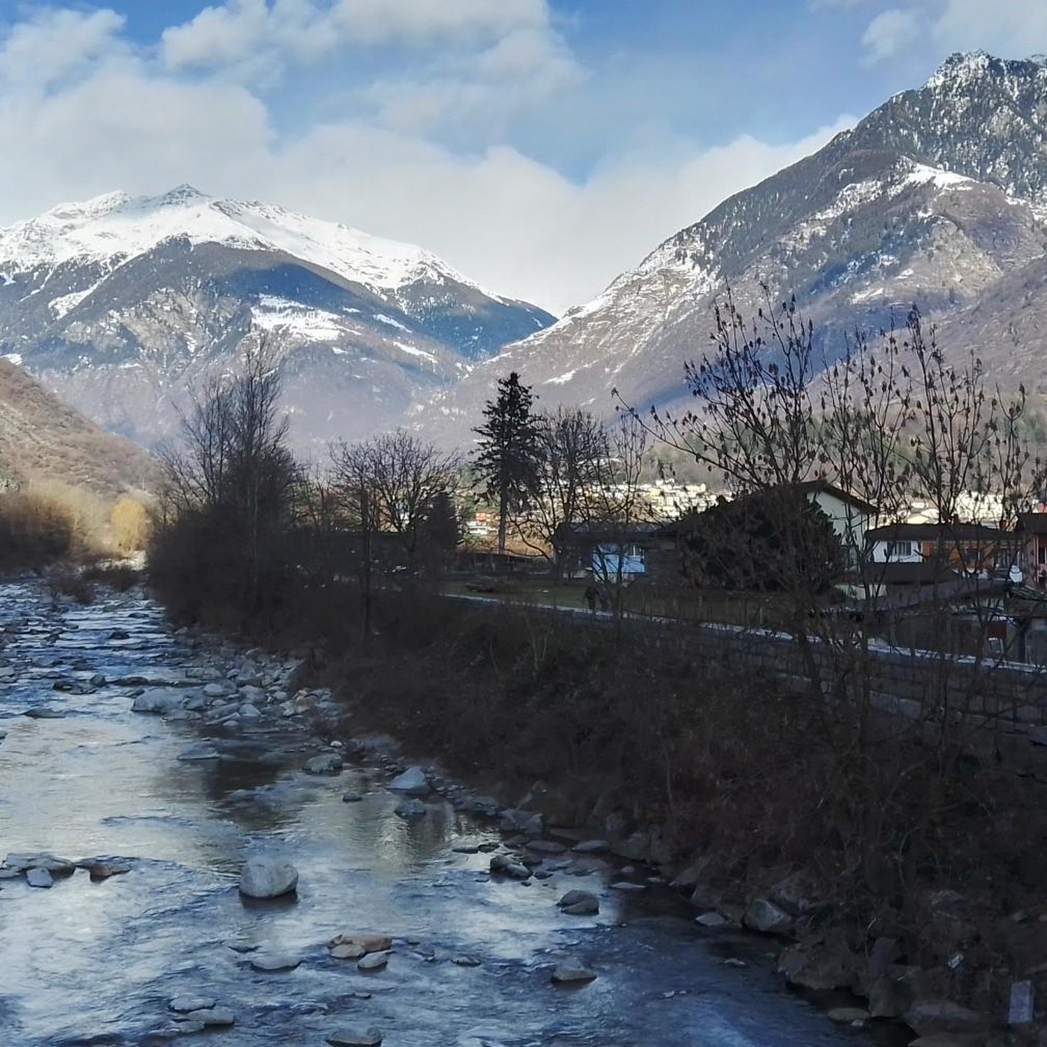
The Bocchetta dello Scaiee is a mountain pass on the left side of the Verzasca Valley in the canton of Ticino. It is located between the Cima di Gagnone (2518 m above sea level, east) and the Scaiee peak (2457 m above sea level, west) at an altitude of 2434 meters above sea level. The pass can be crossed on a white-red-white marked mountain hiking trail. Paths lead from the village of Gerra in the Verzasca Valley (via Alpe del Mött), from the Val d'Agro (via Bassa di Motto) and from the Capanna Efra mountain hut and the Val Gagnone (both via Passo di Gagnone) up to the pass. In addition, an alpine hiking trail (white-blue-white) leads from the Bocchetta dello Scaiee to the Cima di Gagnoe and further over the ridge via Cima di Rierna and Cima Lunga to the Capanna Fümegna.
1
0
The Bocchetta di Rierna is a mountain pass in the canton of Ticino, which lies high above the Alpe Rierna in the north and the Alpe Lignasc in the south. It is located at an altitude of 2295 meters above sea level between Cima di Rierna and Cima di Bri. The ridge hike (white-blue-white alpine hiking trail) leads over the pass from the Alpe del Mött via Bocchetta dello Scaiee, Cima di Gangnone, Cima di Rierna, Bocchetta di Rierna and Cima Lunga to the Alpe Fümegna.
1
0
The Passo di Bri is a mountain pass in the Ticino Alps, which lies between the Val d'Ambra and the Val d'Agro in the canton of Ticino. It is located on the ridge between the Cima di Bri and the Cima di Rierna at an altitude of 2431 meters above sea level. There is no hiking trail between the two valleys over the pass. However, the ridge hike from the Capanna Fümegna to the Bocchetta dello Scaiee and further to the Capanna Efra leads past the Passo di Bri.
0
0
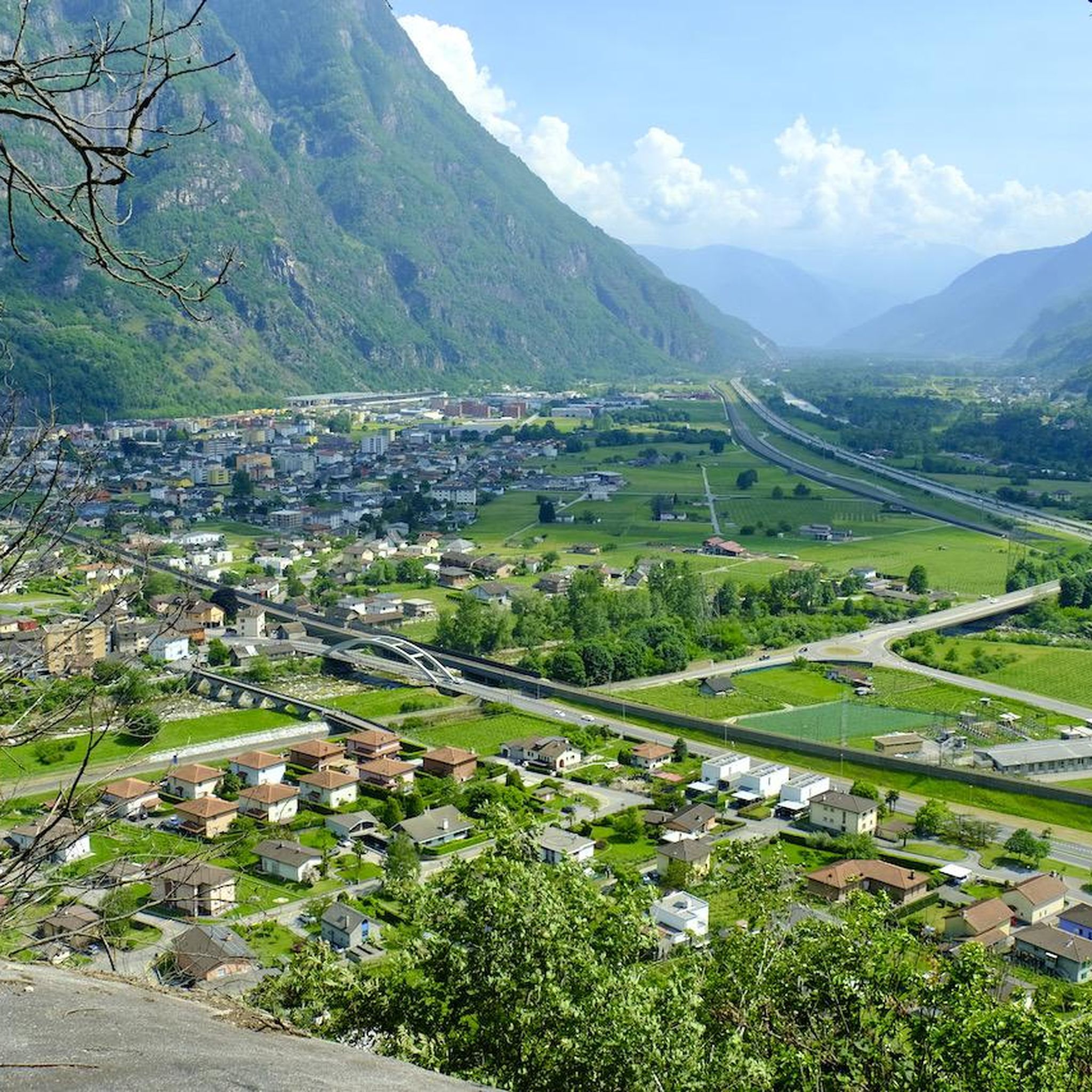
The Passo Crastumo is a mountain pass between the Valle Leventina and the Valle di Blenio in the canton of Ticino. Its pass is located above the Alpe di Crastumo at an altitude of 2117 meters above sea level between the peaks of Motto Crostel and Pizzo Caslett. There are no marked hiking trails over the pass, in contrast to the Bassa di Nara pass further north.
1
0

The Crastumo pass is a mountain pass that connects the Blenio valley with the Leventina valley, reachable from Acquarossa or Lavorgo. The trails near the pass are only partially cycleable, making it a tough challenge for mountain bikers.
1
0
The Forcarella di Lodrino is a mountain pass between the Valle Verzasca and the Riviera in the canton of Ticino. Your pass is at an altitude of 2218 meters above sea level on the ridge that leads from Poncione Rosso (2505m asl) in the north to Scima do Precastell (2358m asl). You can cross the pass on an alpine hiking trail (white-blue-white marking). From the village of Lodrino on the east side, this path first leads up to the huts near In Alva and then high above the Val di Lodrino to the crossing. From Lavertezzo in the Verzasca Valley you hike via Cognera and Forno into the Val Pincascia. At the back of the valley you first climb to Alpe Fümègna and then on to Forcarella di Lodrino.
2
0
Frequently Asked Questions
What are some of the most notable mountain passes accessible from Pollegio?
Pollegio offers access to several remarkable mountain passes. The Nufenen Pass (Passo della Novena) is Switzerland's second-highest paved pass, known for its stunning panoramic views and challenging driving experience. The legendary Gotthard Pass (Passo del San Gottardo) is famous for its historical "Tremola" cobbled road and strategic importance. For hikers, passes like Bocchetta dello Scaiee and Passo Crastumo offer marked trails and connections between valleys.
What makes the Nufenen Pass a popular destination?
The Nufenen Pass is highly regarded for its breathtaking panoramic views, including vistas of the Bernese Alps and the Gries Glacier. It offers an exceptional driving experience with hairpin bends and switchbacks, making it a favorite for motorcyclists and road trip enthusiasts. Historically, it served as an important trade link, and in early summer, visitors can enjoy a beautiful display of flowers.
What is unique about the Gotthard Pass?
The Gotthard Pass is renowned for its historical "Tremola" road, an iconic cobbled route on its southern flank with spectacular hairpin bends, considered Switzerland's longest architectural monument. It also marks a significant cultural and linguistic boundary between German and Italian-speaking Switzerland. At the summit, you can visit the Gotthard Museum to learn about its rich transit history.
What kind of hiking trails can I find near Pollegio's mountain passes?
The region around Pollegio's mountain passes offers a variety of hiking trails. For instance, Bocchetta dello Scaiee can be crossed on a white-red-white marked mountain hiking trail, with paths leading from villages like Gerra. The Forcarella di Lodrino also features an alpine hiking trail (white-blue-white marking). You can explore more options on the Hiking around Pollegio guide, which includes routes like the challenging "Biasca San Carlo - Capanna Cava Trail".
Are there opportunities for cycling or mountain biking on these passes?
Yes, several passes offer cycling opportunities. The Nufenen Pass and Gotthard Pass are popular for road cyclists due to their challenging ascents and scenic routes. For mountain bikers, the trails near Passo Crastumo are partially cycleable, offering a tough challenge. For more cycling routes in the area, refer to the Cycling around Pollegio guide.
What is the best time of year to visit the mountain passes around Pollegio?
The mountain passes in this region are typically open from June to October, with exact opening and closing dates depending on snow conditions. Early summer is particularly beautiful, offering a display of wildflowers. The Nufenen Pass is also considered one of the top locations to watch the sunset in summer.
What kind of natural scenery can I expect at these mountain passes?
Visitors can expect diverse and stunning natural scenery. The Nufenen Pass provides breathtaking panoramic views of the Bernese Alps and the Gries Glacier, with a wild and less populated landscape. The Gotthard Pass features a mystical rocky landscape with small lakes and acts as a significant weather divide. Many passes, like Bocchetta dello Scaiee and Passo di Bri, offer expansive viewpoints across the Ticino Alps.
Are there any historical or cultural sites to explore at the mountain passes?
Yes, the Gotthard Pass is rich in history and culture. It has been a vital trans-Alpine route since the Middle Ages, and at its summit, you can visit the Gotthard Museum to delve into its development and transit history. The Nufenen Pass also has historical significance, having served as a link for cattle trading and cheese exports.
What are the elevation and difficulty levels of the mountain passes around Pollegio?
The mountain passes around Pollegio vary in elevation and difficulty. The Nufenen Pass reaches 2,478 meters (8,130 ft), while the Gotthard Pass is at 2,106 meters (6,909 ft). Passes like Bocchetta dello Scaiee (2,434m) and Passo di Bri (2,431m) are high-altitude and often involve challenging hiking trails. Many trails are marked as 'challenging' or 'intermediate' in difficulty.
What other outdoor activities can I do near the mountain passes around Pollegio?
Beyond exploring the passes themselves, the Pollegio area offers a range of outdoor activities. You can find numerous running trails, such as the "Sentiero Riviera between Biasca and Osogna," detailed in the Running Trails around Pollegio guide. Cycling is also popular, with routes like "From Biasca to Claro" available in the Cycling around Pollegio guide. Of course, extensive hiking opportunities are also available, as highlighted in the Hiking around Pollegio guide.
Are there any less crowded mountain passes for a quieter experience?
While the Nufenen and Gotthard Passes are well-known, you can find quieter experiences on passes like Passo del Mauro, an Alpine pass between the Riviera and Calanca valleys, reachable from the Capanna di Cava refuge. Forcarella di Lodrino also offers an alpine hiking trail for those seeking a more secluded adventure.
Most popular attractions around Pollegio

Get inspired with the komoot mobile app


Explore more
See even more epic mountain passes by checking out these guides around Pollegio:
