Top 10 Natural Monuments around Seulingswald
Natural monuments around Seulingswald are found within a significant sandstone mountain range in the East Hesse Highlands. This region is recognized as a protected landscape and a Special Area of Conservation, encompassing one of Hesse's largest continuous woodland areas. The landscape features high plateaus and deeply incised valleys, characteristic of its Middle Bunter Sandstone geology. It offers diverse natural features, including extensive wood rush-beech forests and habitats for various flora and fauna.
Best natural monuments around Seulingswald
- The most popular…
Last updated: September 30, 2026
Hammundeseiche
Highlight • Natural Monument
Translated by Google •
Tip by

Church Ruins of Hammundeseiche
Highlight • Historical Site
Translated by Google •
Tip by

Sign up now to discover places like this
Get recommendations on the best single tracks, peaks, & plenty of other exciting outdoor places.
Stärkelsbach spring and information board
Highlight • Natural Monument
The course of the Stärkelsbach begins in a short valley meadow, surrounded by wooded slopes everywhere except in the east-northeast, on the …
Translated by Google •
Tip by

Stone cairns on Dreienberg
Highlight • Structure
Translated by Google •
Tip by

Nadelöhr in the Seulingswald
Highlight (Segment) • Natural Monument
little traffic and best road surface with a pleasant incline / descent.
On both sides the forest gives a great view …
Translated by Google •
Tip by

Sign up for free to discover even more natural monuments around Seulingswald.
Already have an account?
Start today with a free account
Your next adventure awaits.
Tips from the Community

And a great place to rest on the Luther benches.
1
0

This stately oak tree - a natural monument - stands at the assumed center of the village of Hammundeseiche - in the Seulingswald - which fell into desolation at the beginning of the 14th century.
4
0

An old ruin where, unfortunately, not much remains. Otherwise, a nice farewell.
0
0
Hammundeseiche is a village located on the so-called KURZEN HESSEN, which probably fell into ruin at the beginning of the 14th century. The foundations of the church and the village fountain are still visible today. The Hammundeseiche - a natural monument - is probably located in the area of the former village center. You can get here on well-developed forest paths both on foot and by bike - not necessarily a racing bike - and you can take a good rest here - there are some places to sit by the former church.
1
0
Hammundeseiche is one of several abandoned villages in the Seulingswald. The foundations of the former church are still visible here, as well as the village fountain and pond. The stately oak tree probably stands in the former center of the village. It is a beautiful destination or stopover on a hike or mountain bike tour.
4
0

The Hammundeseiche is a natural monument located about three kilometers northeast of Friedewald in the Hersfeld-Rotenburg district in the Seulingswald in Hesse and about 650 meters south of the Friedewald to Hönebach road, at the junction of Nadelöhr. The oak tree stands in the middle of the former village of Hammundeseiche at 435 meters above sea level. The oak tree represents the former center of the village of Hammundeseiche, which has been considered abandoned since 1312.
3
0
Hammundeseiche (also called Hoheneiche) is a deserted village. It is located at 440 m above sea level, between Friedewald and Wildeck-Hönebach in the Seulingswald in the north-east of Hesse. The foundations of a church were uncovered, next to a spring well and about 100 m away is the Hammundeseiche.
4
0

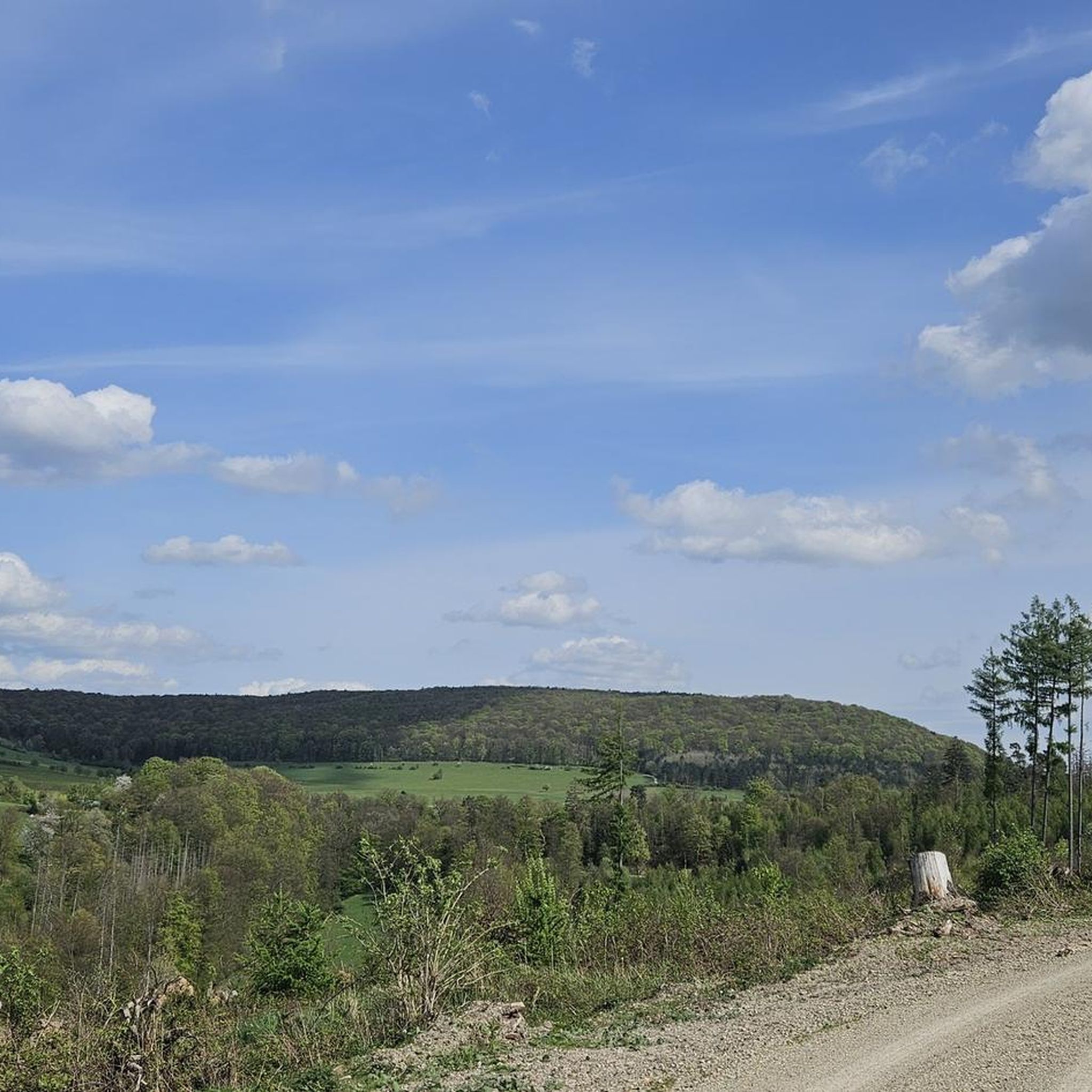
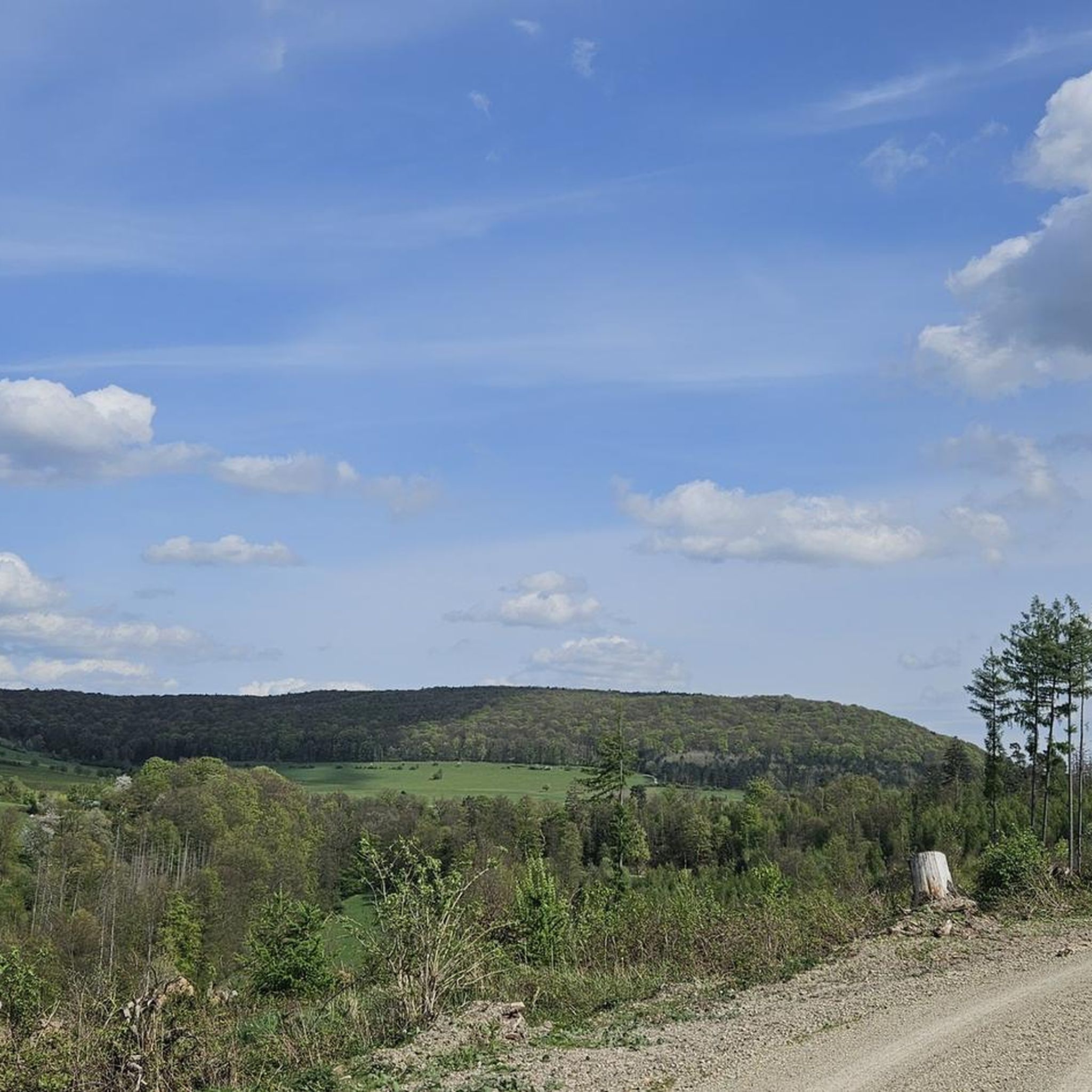
Stärkelsbach spring & information board springs on Dreienberg The course of the Stärkelsbach begins in a short valley meadow, surrounded by wooded slopes everywhere except in the east-northeast, on the eastern edge of the Dreienberg, which is up to 525 m above sea level and is the northernmost elevation of the Rhön low mountain range, around 200 meters north of the Dreienburg castle ruins, which stood on a shell limestone spur almost 100 meters higher and projecting to the east. After about 0.7 kilometers of northeasterly flow through meadows, the stream crosses the Friedewald district of Lautenhausen, now heading east. After another 0.8 kilometers through meadows, the Stärkelsbach is diverted to the east-southeast by the red sandstone slope of the Seulingswald, which extends there to the northeast; There, federal highway 62, coming from the northwest across the fields and meadows of Friedewald, joins the Stärkelsbach, whose course it initially follows on the left side on the southern edge of the Seulingswald, while meadows continue to line the banks of the stream opposite. After another 700 meters or so, the stream reaches the Philippsthal district of Unterneurode, where the Hillartshäuser water coming from Friedewald-Hillartshausen flows into it from the southwest and the federal highway changes to its right side. After initially following the foothills of the Seulingswald, which are partly unforested on the lower slope, for just over a kilometer and then for just under a kilometer southeast, the Stärkelsbach, now lined with woodland, reaches the village of Heimboldshausen, which it crosses from west to east. Barely a quarter of a kilometer after the Gerstungen–Vacha railway line, which runs parallel to the river west of it, has crossed it in the area of the former train station, the Stärkelsbach flows into the Werra from the left. Source: https://de.wikipedia.org/wiki/Stärkelsbach
2
1
Frequently Asked Questions
What are some of the most notable natural monuments to visit in the Seulingswald region?
The Seulingswald region offers several significant natural monuments. Among them, the View of Friedewald from the Dreienberg shelter is highly popular for its expansive vistas. Another key site is the Stärkelsbach spring and information board, which marks the source of a local stream. You can also explore the ancient Kathuser Seeloch Natural Monument, a lake approximately 120,000 years old.
What kind of natural features can I expect to see in the Seulingswald?
The Seulingswald is characterized by its unique Middle Bunter Sandstone geology, featuring high plateaus and deeply incised valleys. You'll find extensive wood rush-beech forests, which are a hallmark of North Hesse's forest areas. The region is also home to diverse flora and fauna, including rare species like the grey-headed woodpecker and black stork, particularly within protected areas like the Goldbachs- und Ziebachsrück Natural Woodland Reserve.
Are there family-friendly natural monuments or trails in Seulingswald?
Yes, several natural monuments in Seulingswald are suitable for families. The View of Friedewald from the Dreienberg shelter and the Stärkelsbach spring and information board are both considered family-friendly. Additionally, the Kathuser Seeloch Natural Monument offers an interesting natural attraction for all ages.
What outdoor activities can I do near the natural monuments in Seulingswald?
The Seulingswald region is ideal for various outdoor activities. You can enjoy extensive hiking on trails like the easy Friedewald Water Castle – Dreienberg Nature Trail loop or the moderate Wildflower Meadow Dreienberg – View of Friedewald Castle loop. There are also numerous routes for cycling and mountain biking, offering different difficulty levels to explore the forested landscape.
What is the highest point in the Seulingswald, and what does it offer?
The highest natural peak within the Seulingswald is the Toter Mann, rising to 480.3 meters above sea level. From its summit, you can enjoy panoramic views over the expansive forested landscape of the Seulingswald. It's accessible via various forest and hiking trails, making it a rewarding destination for those seeking elevated perspectives.
Are there any unique geological formations or landmarks in the Seulingswald?
Beyond its general sandstone geology, the Seulingswald features unique formations like the Nadelöhr in the Seulingswald, a gate-shaped stone structure with local legends. The region's landscape of high plateaus and deeply incised valleys, characteristic of the Middle Bunter Sandstone, also forms a significant geological backdrop.
What makes the Goldbachs- und Ziebachsrück Natural Woodland Reserve special?
The Goldbachs- und Ziebachsrück Natural Woodland Reserve is a 31-hectare area crucial for ecological research and biodiversity. It's known for its wood rush-beech forests, which are allowed to develop naturally without human intervention. This reserve supports a wide array of species, including many listed in the Red Data Books, highlighting its importance for nature conservation.
What do visitors particularly enjoy about the natural monuments in Seulingswald?
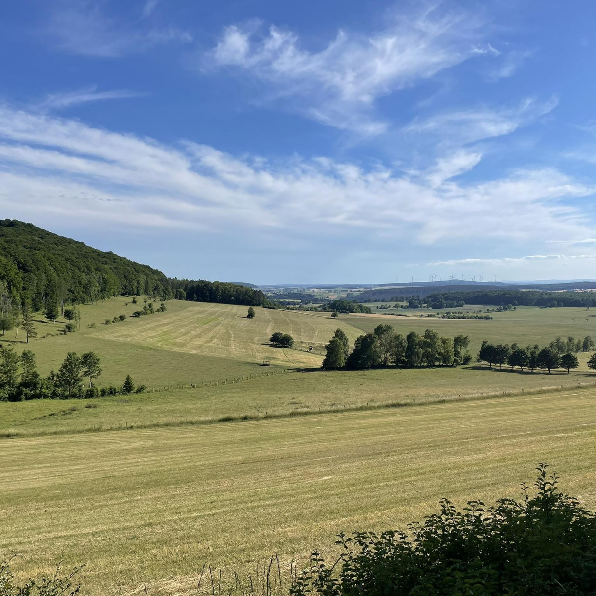
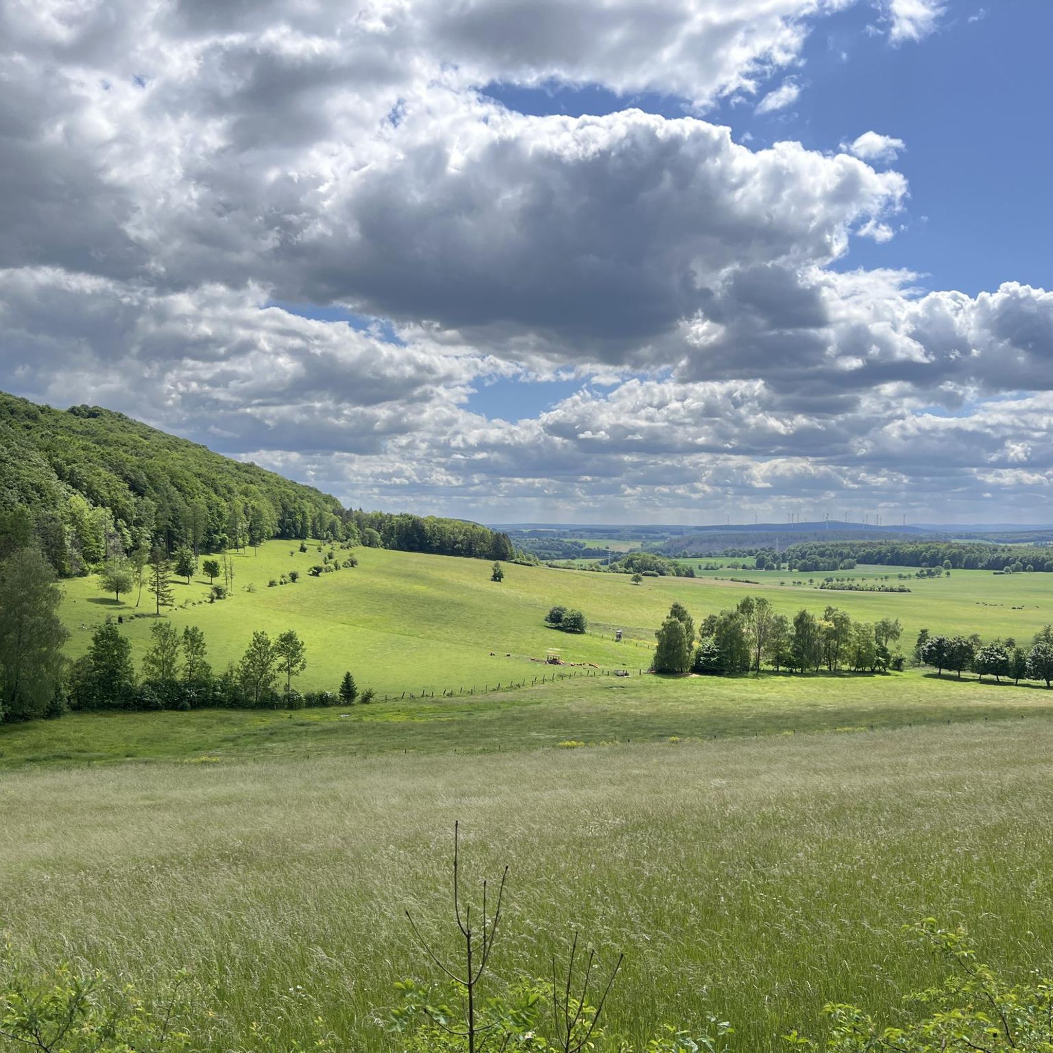
Visitors appreciate the tranquility and natural beauty of the Seulingswald. Many enjoy the expansive views from spots like the Dreienberg shelter, which offers clear sightlines over Friedewald. The ancient Kathuser Seeloch is also a popular spot for nature lovers, and the unique Nadelöhr offers an interesting landmark along the trails.
Can I find viewpoints that offer good photographic opportunities in Seulingswald?
Absolutely. The View of Friedewald from the Dreienberg shelter is a prime location for photography, offering panoramic views. The Toter Mann peak also provides excellent vantage points over the vast forested landscape. These spots are ideal for capturing the scenic beauty of the Seulingswald.
Are there any historical or cultural elements associated with the natural monuments in Seulingswald?
While primarily focused on natural features, some sites have historical context. For instance, the Nadelöhr in the Seulingswald is located next to an old trade route and is surrounded by local legends and stories. The Stone cairns on Dreienberg, while natural formations, are an archaic form of signposts with cultural significance in various traditions.
What is the best time of year to visit the natural monuments in Seulingswald?
The Seulingswald offers natural beauty throughout the year. Spring and autumn are particularly popular for hiking, with pleasant temperatures and vibrant foliage. The extensive woodlands provide shade in summer, while winter can offer a serene, snow-covered landscape for those prepared for colder conditions.
Are there any specific rules for dog owners when visiting natural monuments in Seulingswald?
While the Seulingswald is generally dog-friendly, especially on its numerous hiking trails, it's always recommended to keep dogs on a leash, particularly in protected areas like the Goldbachs- und Ziebachsrück Natural Woodland Reserve, to protect wildlife and ensure a pleasant experience for all visitors. Always clean up after your pet.
Most popular routes around Seulingswald
Most popular attractions around Seulingswald

Get inspired with the komoot mobile app


Explore more
Extend your search for the best caves by checking out these guides of the top ones around Seulingswald:
