Top 20 Natural Monuments around Altissimo
Best natural monuments around Altissimo are found across several mountain ranges in Italy, including the Tuscan Apuan Alps, Monte Baldo, and the Bergamasque Prealps. These regions feature diverse landscapes, from imposing cliffs and panoramic summits to ancient forests and significant geological formations. Visitors can explore a variety of natural features, often with historical context such as old marble quarries or World War I fortifications. The area provides opportunities to experience varied natural terrain and unique geological sites.
Best natural monuments…
Last updated: June 28, 2026
Papalini Waterfall
Highlight • Waterfall
Translated by Google •
Tip by

Trail of the Great Trees
Highlight (Segment) • Trail
Translated by Google •
Tip by

Sign up now to discover places like this
Get recommendations on the best single tracks, peaks, & plenty of other exciting outdoor places.
Sign up for free
Mount Gramolon
Highlight • Summit
Translated by Google •
Tip by

Sisilla Crag
Highlight • Climb
Translated by Google •
Tip by
Buso della Rana Cave
Highlight • Cave
Translated by Google •
Tip by

Sign up for free to discover even more natural monuments around Altissimo.
Sign up for free
Already have an account?
Start today with a free account
Your next adventure awaits.
Login or Signup

Tips from the Community

The Buso della Rana is the largest cave in the Veneto region and one of the most extensive in Italy, with a network of caves stretching almost 30 km in total (40 km including the Pissatèla complex above, to which it is connected). Located beneath the Faedo-Casaròn Plateau, it is an intricate karst system that collects and channels the plateau's waters into the Rio Rana, which flows at the entrance. It was formed when rainwater seeps into the permeable limestone surface layer and, encountering the underlying impermeable basalt (volcanic rock), flows laterally, eroding the rock. Over millions of years, this has created a complex labyrinth of horizontal tunnels, chambers, chimneys, siphons, and small lakes traversed by underground streams. Because it drains the plateau's waters, the cave is subject to flash floods, making exploration treacherous. Inside, the temperature remains constant between 10 and 12°C year-round. It is freely accessible through the monumental entrance and by proceeding along the Main Branch for about fifty meters, until reaching the first flooded corridor or Siphon, a horizontal constriction that requires crawling. From there, it is the preserve of speleologists or exciting and adventurous guided tours organized by associations like Biosphera (see link). The internal branches are not marked, and one must know the way. The name of the cave has nothing to do with the amphibian, but is an Italianized term from the Cimbrian word "roan," meaning "rocky wall," referring to the cliff at the entrance. https://www.busodellarana.it https://esplora.biosphaera.it/luoghi/buso-della-rana/
0
0
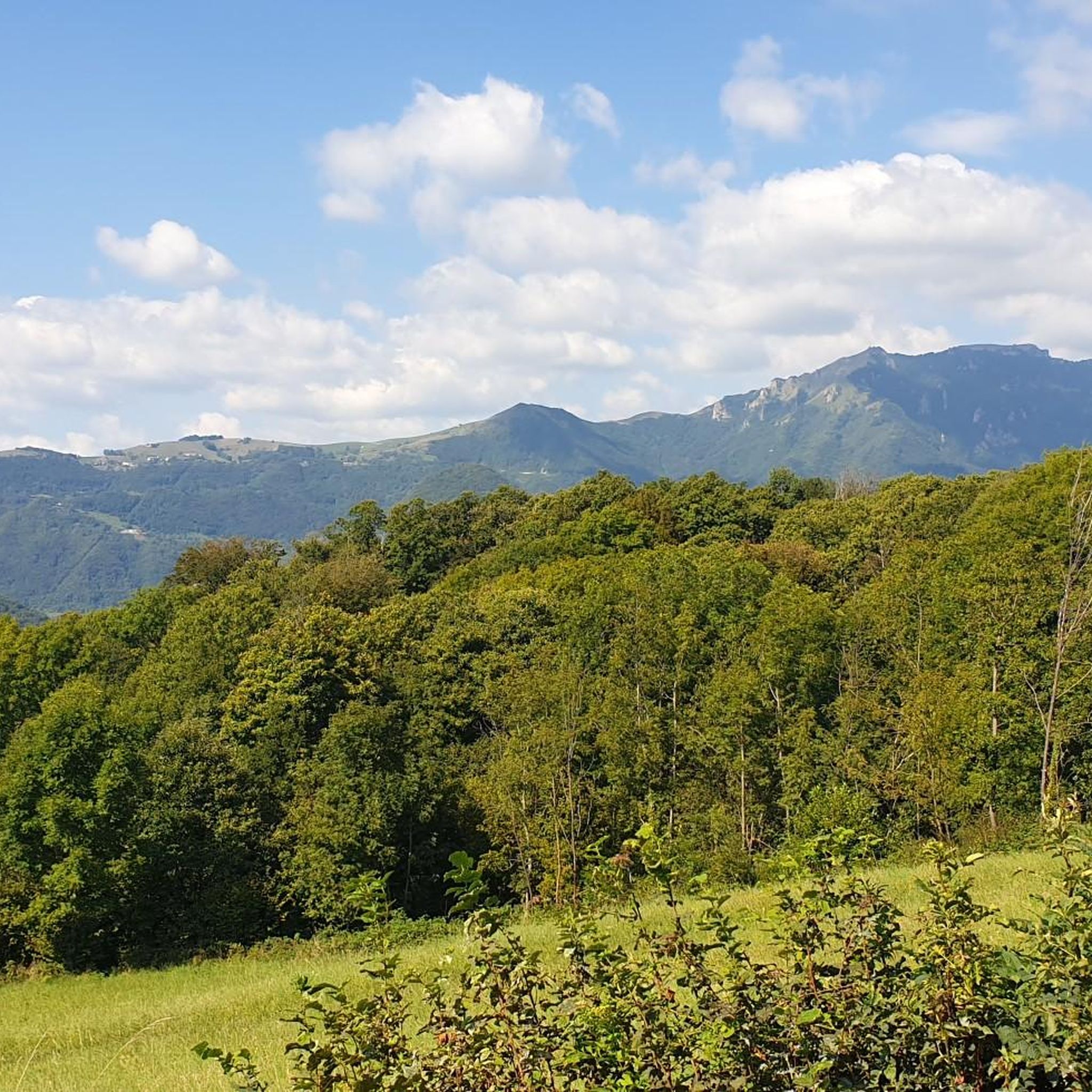
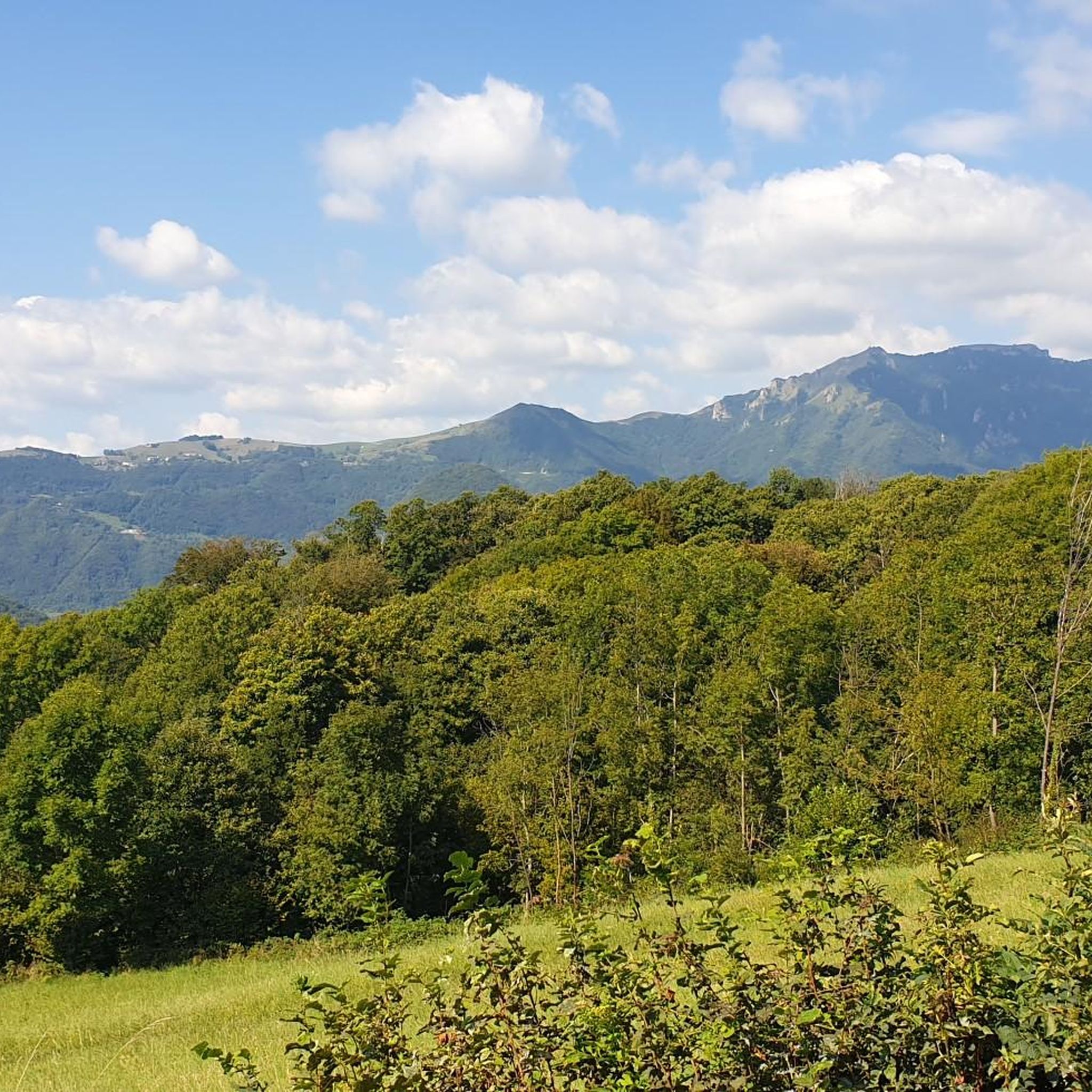
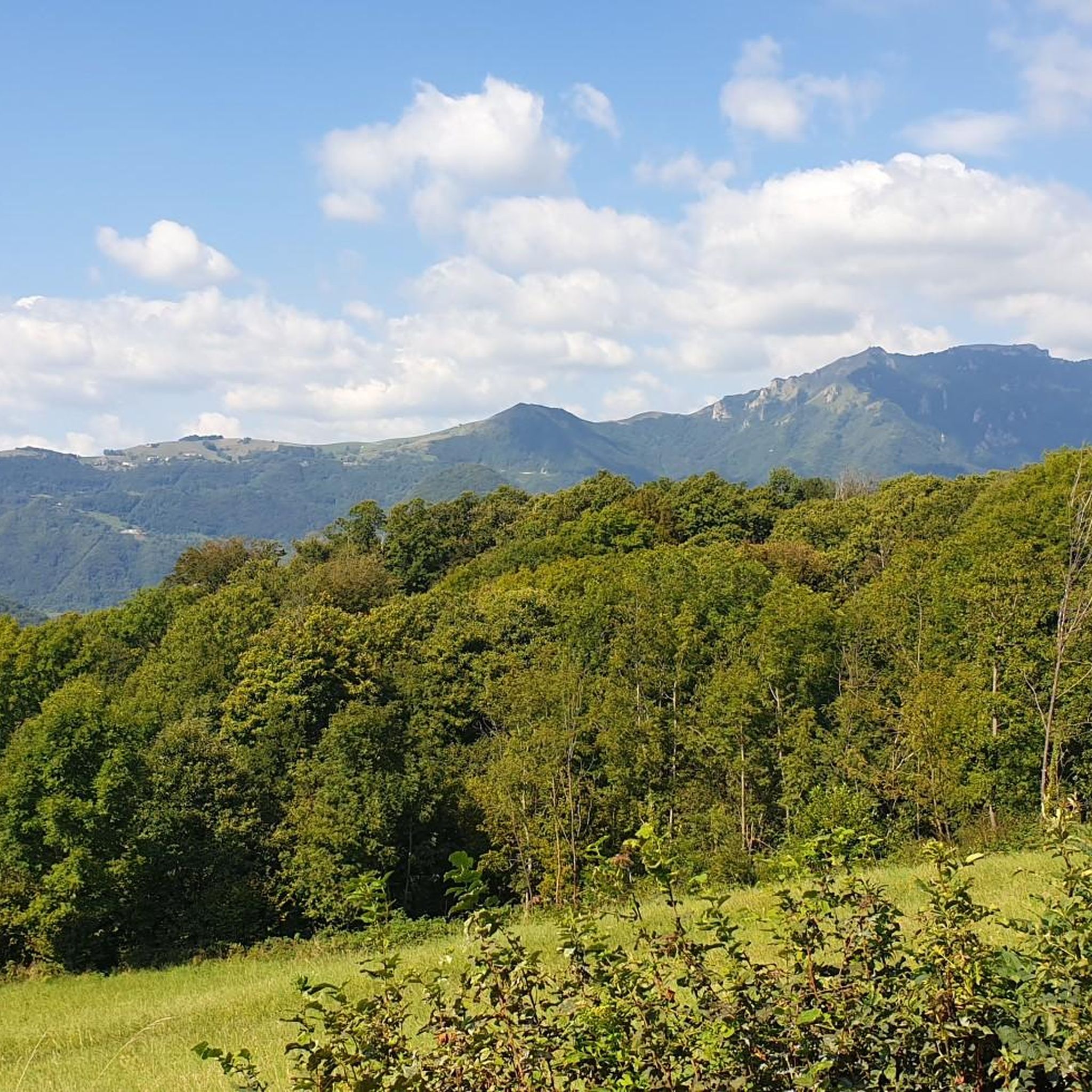
From Monte Gramolòn (1,814 m), you have a breathtaking 360° view of the Piccole Dolomiti, the Sentiero dei Grandi Alberi trail below, and, on the opposite side, the Lessinia mountains! The climb from Passo Ristele (to the north) is short but steep, and breathtaking! From Passo della Scagina (to the south), it's even steeper and more technical, EE, with frequent switchbacks that ascend a deep gully: very evocative. On this side, there are also the Angelo Viali and Ferrari via ferratas. The summit, with its cross, touches a spectacular but exposed ridgeline over the precipice, so be careful and avoid leaning out. The toponym derives from the dialect verb 'sgramolare', meaning to break into lumps: therefore, 'Gramolon' means the mountain that crumbles, due to subsidence and scree!
0
0
The Cascata dei Papalini suddenly appears in a small clearing in the heart of the forest, along the path: over time the falling water has formed a columnar deposit of gray limestone that descends like a drape and that partly acts as a springboard for the jet. But the peculiarity and spectacular nature of this waterfall is the possibility of seeing it even from behind the scenes: in fact, by climbing to the left on a short but steep path, you reach a natural roof of the rock from which you can observe the forest below through the curtain of water, without getting wet! The passage is not protected and is wet, so you need to pay particular attention. Like all torrential waterfalls, it is not always full and active: you need to look for the right period, perhaps after heavy rains, to visit it in all its thunderous splendor.
1
0

Beautiful waterfall, it looks like a face with one eye, a big nose and teeth😊
1
0

Gramolon can be reached not only by paths but also by the short but intense Ferrari via ferrata.
0
0

Mount Gramolon can be reached by various itineraries, the most convenient from the Bertagnoli refuge.
0
0
In this secluded clearing, just above the Campogrosso refuge, you find yourself at the foot of the imposing southern face of the Sisilla, about a hundred metres: a historic climbing gym, still much loved and popular, with around thirty routes all vertical or slightly overhanging. During the First World War, the Sisilla was transformed into a fortified Italian stronghold to defend the Campogrosso Pass: while on its top there was an observatory equipped with reflectors, at the base, in a position sheltered from sight and enemy fire, they were created in cavern shelters for command, storage and reserve troops, as well as machine gun positions to control the pass.
0
0
Mount Sisilla (1621 m) is an imposing rock pillar overlooking Campogrosso, marking the southern end of the Sengio Alto mountain range. The summit is reached via a challenging trail, with a final via ferrata. The short but exposed equipped section is officially unusable (as stated on the municipal sign), but you can make do by holding onto the rocks. However, it is reserved only for experienced hikers who are up to it, always exercising utmost caution! From the overhanging summit, the view is breathtaking, with the refuge and the Campogrosso pastures a hundred meters below your feet! The white statue of the Madonna was installed in 1962, transported by military helicopter. During World War I, Mount Sisilla was transformed into a fortified Italian stronghold to defend the Campogrosso Pass. An observatory equipped with searchlights stood on its summit; Below, a covered trench (now rebuilt) with a depot and barracks for the garrison; along the climb, you'll come across machine gun emplacements in caves; at its foot, trenches, emplacements, and cave shelters are still visible. The south face, just above the refuge, at 120 meters high, is a historic and still very popular climbing gym, with about thirty routes, all vertical or slightly overhanging. https://www.youtube.com/watch?v=SRoEa_jqliA
1
0
Frequently Asked Questions
What are some unique geological features around Altissimo?
The Altissimo region is rich in diverse geological formations. For instance, the Buso della Rana Cave is a vast karst system with nearly 30 km of tunnels, formed by water eroding permeable limestone over millions of years. Another example is the Monte Altissimo in the Tuscan Apuan Alps, known for its imposing south face with cliffs over 700 meters high and historical marble quarries.
Are there any historical sites among the natural monuments near Altissimo?
Yes, several natural monuments in the Altissimo area have significant historical context. Monte Altissimo in the Tuscan Apuan Alps features ancient marble quarries, including the Falcovaia quarry used by Michelangelo, and remnants of the Gothic Line from World War II. Monte Altissimo di Nago in the Monte Baldo range also has leftover military installations from World War I and a chapel dedicated to war victims. The Sisilla Crag, for example, was transformed into a fortified Italian stronghold during World War I, with visible trenches and machine gun emplacements.
What are the best hiking trails to explore the natural monuments around Altissimo?
The region offers a variety of hiking experiences. The Trail of the Great Trees on the Montagnole Plateau is a popular choice, winding through wide pastures, small mountain lakes, and ancient trees. For those seeking more challenging routes, the summit of Monte Altissimo in the Tuscan Apuan Alps offers trails of varying difficulty, including ancient 'lizze' routes used for transporting marble. The Peace Trail (Sentiero della Pace) also passes over the summit of Monte Altissimo di Nago.
Are there family-friendly natural monuments or trails in the Altissimo area?
Yes, the Altissimo region has options suitable for families. The Trail of the Great Trees is particularly recommended for families, especially the shorter and most popular segment starting from Trattoria La Gabiola or Casare Asnicar. This trail is known for its easy accessibility and beautiful scenery, making it ideal for all ages.
What kind of natural features can I expect to see around Altissimo?
Visitors to the Altissimo region can expect to encounter a diverse range of natural features. These include impressive waterfalls like Papalini Waterfall, extensive cave systems such as Buso della Rana Cave and Buso delle Anguane Cave, and ancient forests along trails like the Trail of the Great Trees. Panoramic viewpoints from mountain summits are also common, offering breathtaking vistas of the surrounding landscapes.
What is the best time of year to visit the natural monuments around Altissimo?
The best time to visit depends on your preferred activities. The Trail of the Great Trees is popular year-round, from spring blossoms to winter snowshoe hikes, and is especially recommended for autumn foliage. Generally, late spring to early autumn offers the most favorable weather for hiking and exploring the higher elevations, while some natural monuments may be accessible even in winter for snowshoeing or specific winter sports.
Can I explore caves as natural monuments in the Altissimo region?
Yes, the Altissimo region is home to impressive cave systems. The Buso della Rana Cave is the largest in the Veneto region, offering a complex labyrinth of tunnels and chambers. While the entrance is freely accessible for about 50 meters, further exploration requires speleological experience or guided tours. Another notable cave is the Buso delle Anguane Cave, a smaller but very impressive cave with a panoramic view of the valley.
Are there challenging natural monuments for experienced hikers or climbers?
Absolutely. The Sisilla Crag offers a challenging trail with a final via ferrata section, suitable only for experienced hikers due to its exposed nature. Its south face is also a historic and popular climbing gym with numerous routes. The higher trails on Monte Altissimo in the Tuscan Apuan Alps can also be demanding, providing significant elevation gain and rugged terrain.
What outdoor activities can I do near the natural monuments around Altissimo?
Beyond exploring the natural monuments themselves, the Altissimo area offers a range of outdoor activities. You can find numerous hiking trails, including moderate options like the Bolca Fossil Trail. For those interested in cycling, there are gravel biking routes, such as the challenging Recoaro Terme – Battisti Hut loop. Additionally, there are running trails for various fitness levels.
Where can I find panoramic viewpoints among the natural monuments?
Many natural monuments in the Altissimo region offer spectacular panoramic views. The summit of Monte Altissimo in the Tuscan Apuan Alps provides 360-degree vistas of Versilia, the sea, and the Tuscan archipelago. From the top of Monte Altissimo di Nago, you can enjoy expansive views of the Garda Mountains. The Sisilla Crag also boasts breathtaking views from its overhanging summit, looking down on the Campogrosso pastures.
Are there any natural monuments that involve water features like waterfalls?
Yes, the Altissimo region features beautiful water-related natural monuments. The Papalini Waterfall is a small, picturesque waterfall nestled in the woods, offering the unique opportunity to walk behind its veil of water. The Buso della Rana Cave system also involves underground streams and small lakes, as it channels the plateau's waters.
Are there mountain huts or refuges near the natural monuments for rest or accommodation?
Yes, for those exploring the higher elevations, mountain huts provide convenient resting points. Monte Altissimo di Nago, for example, hosts Rifugio Damiano Chiesa at its summit, which is a popular destination for hikers and mountain bikers. The Bergamasque Prealps' Monte Altissimo also has Baita Altissimo located close to its summit, offering a place to rest during your trek.
Most popular routes around Altissimo
Most popular attractions around Altissimo

Get inspired with the komoot mobile app


Explore more
Extend your search for the best caves by checking out these guides of the top ones around Altissimo:
